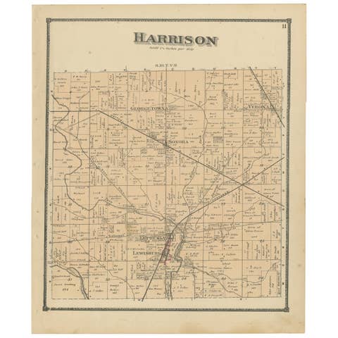
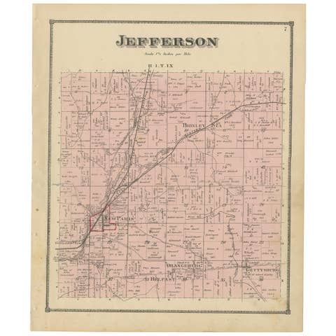
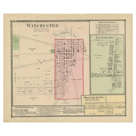
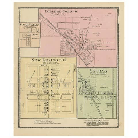
Plan of Cincinnati Map, USA c.1870 – Hand-Colored Street Plan with Wards
€ 260
One of a kind: this is the sheet in the photographs. Ships from Langweer, the Netherlands.
Date
1870
Sheet size
31.2 × 39 cm (12.3 × 15.4 in)
Condition
Good
Reference
BG-13952-29
Condition
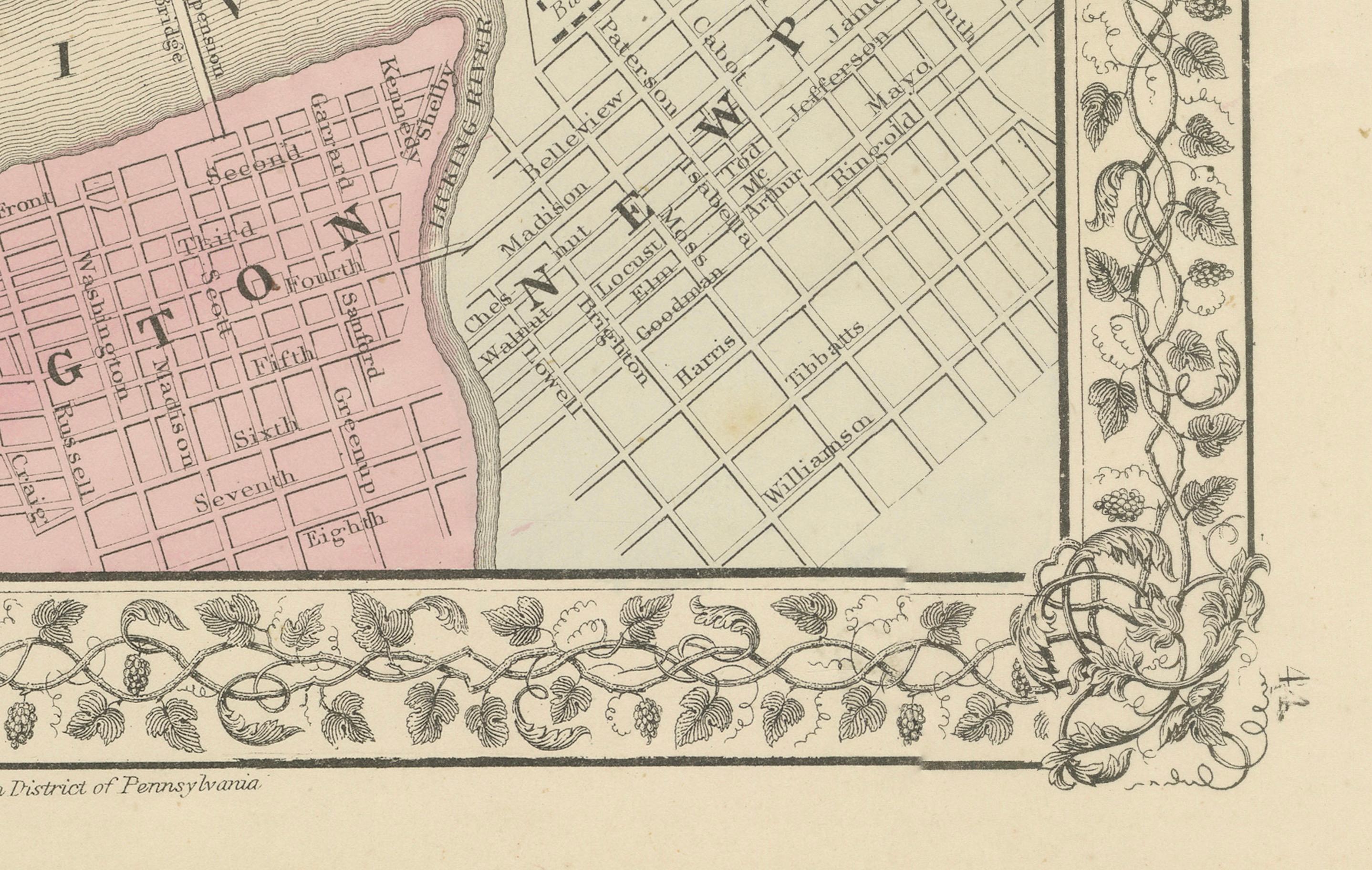
Good condition. Strong impression with bright original hand coloring. Light general age toning and minor marginal handling marks typical for antique atlas maps. One tear in lower border touching image. Wide margins and plate mark intact.
About this sheet
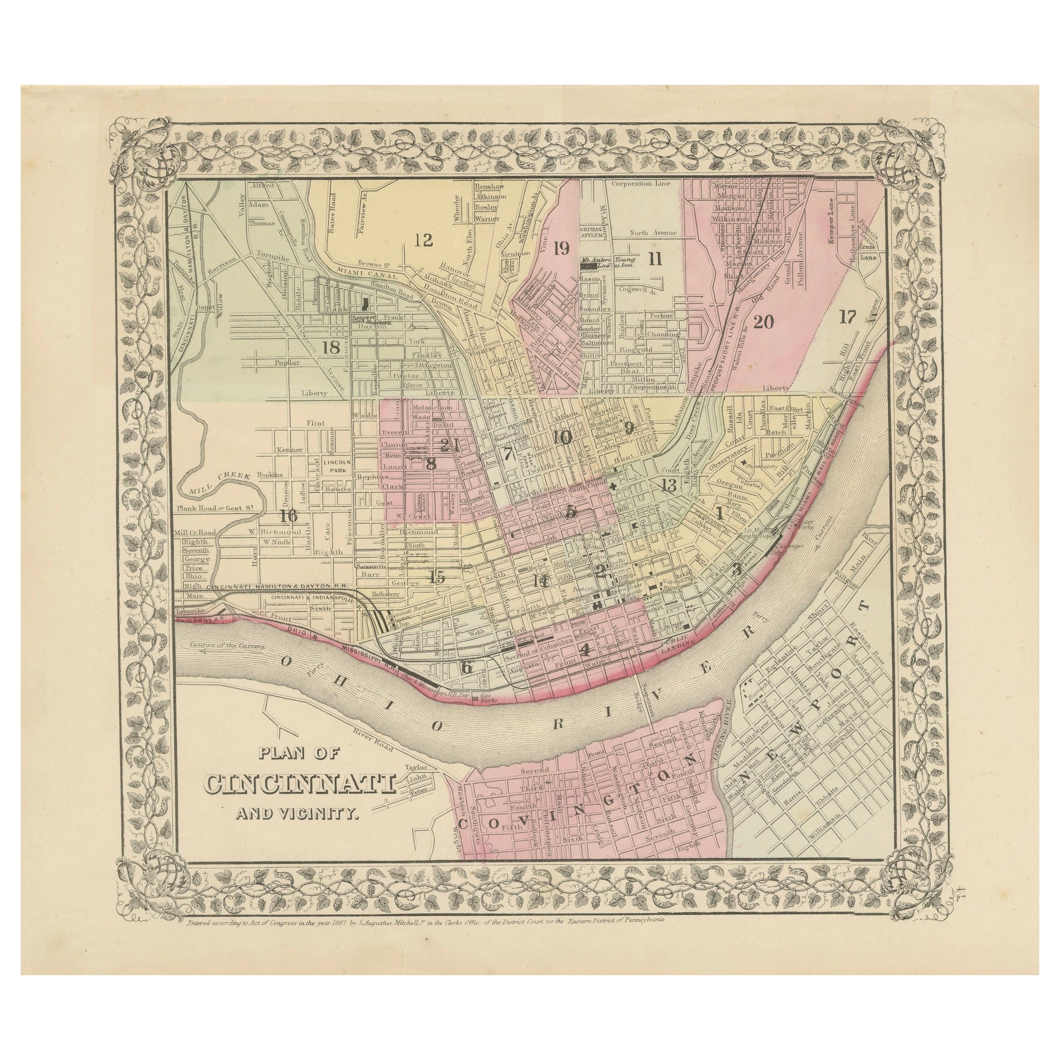
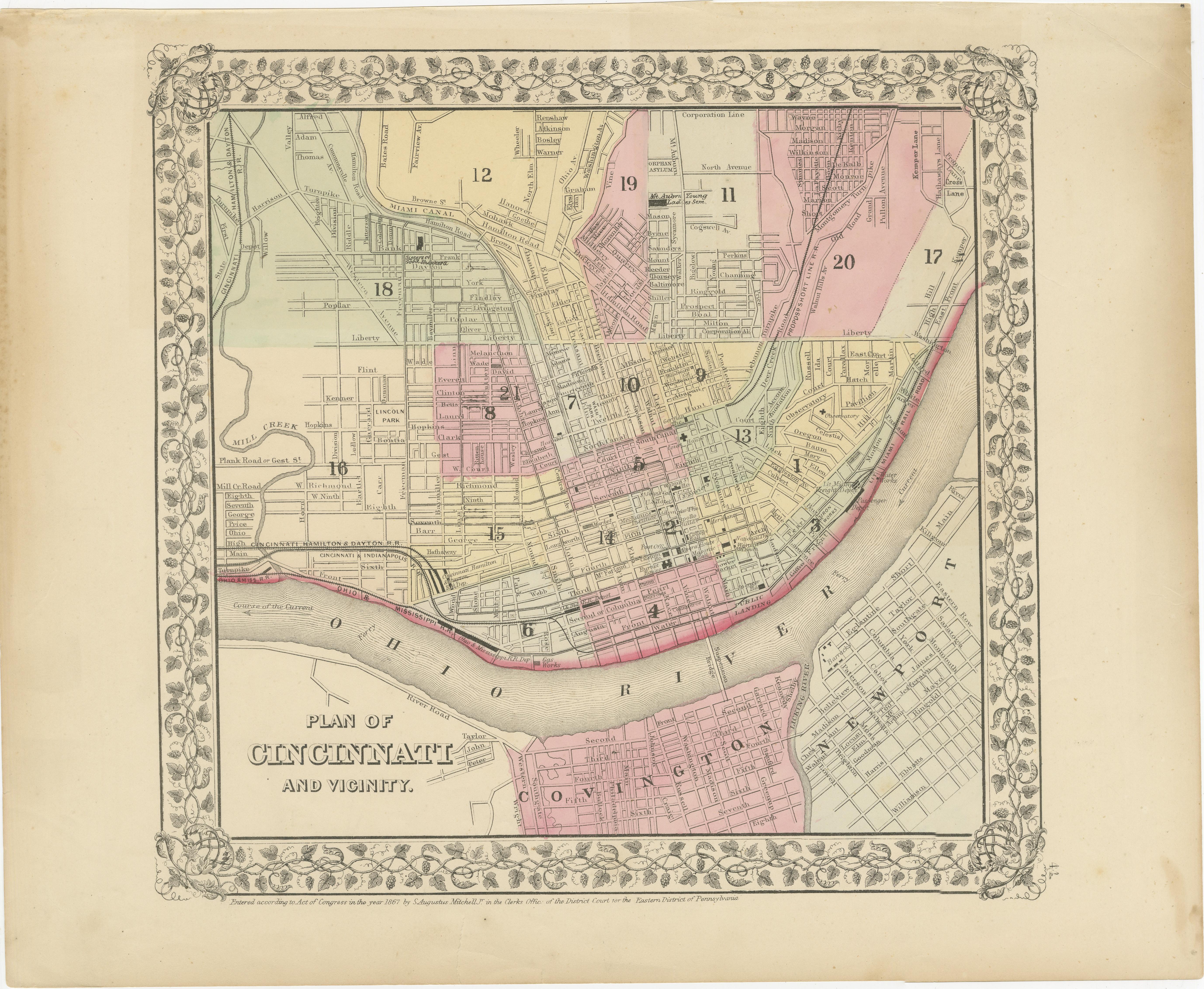
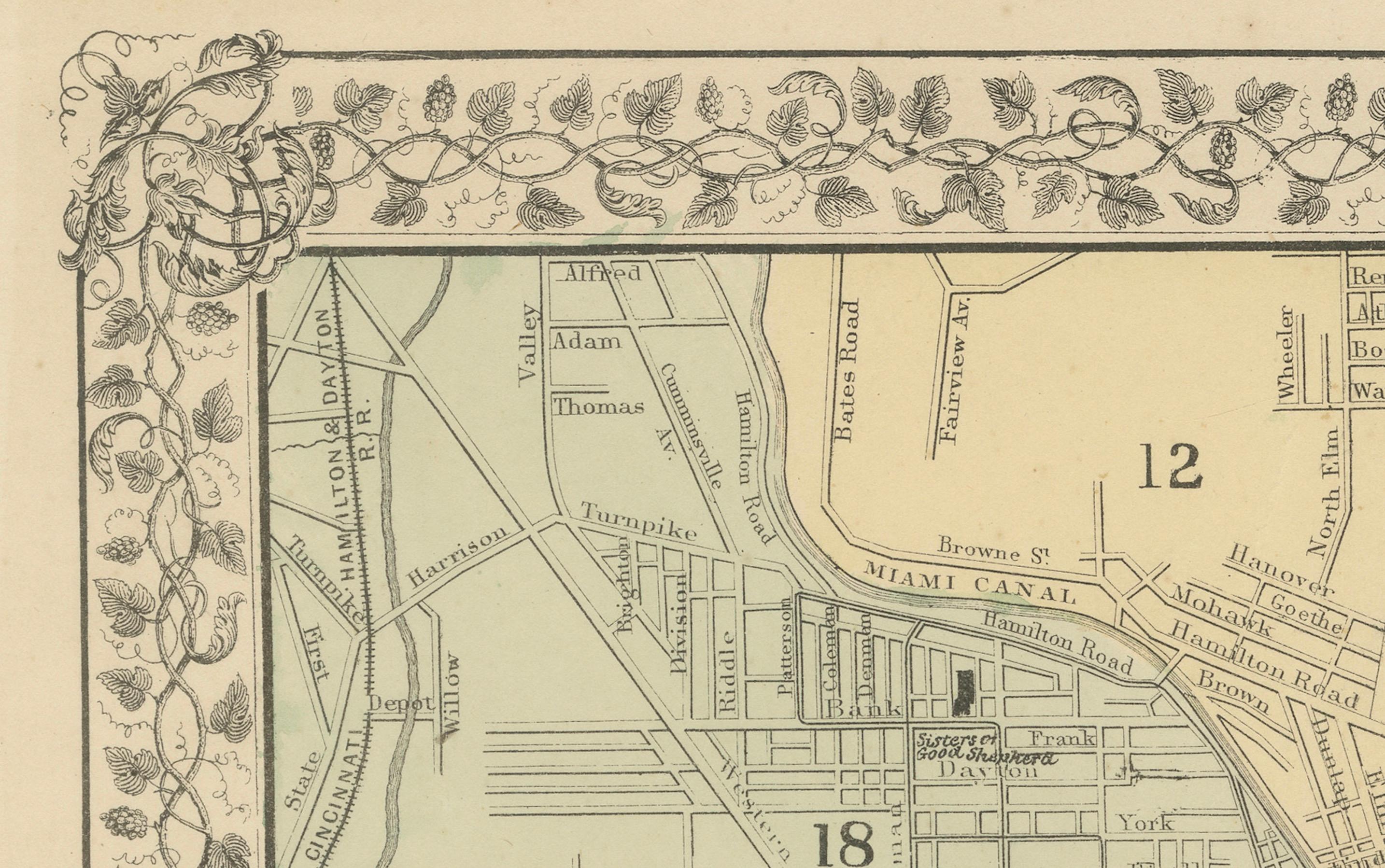
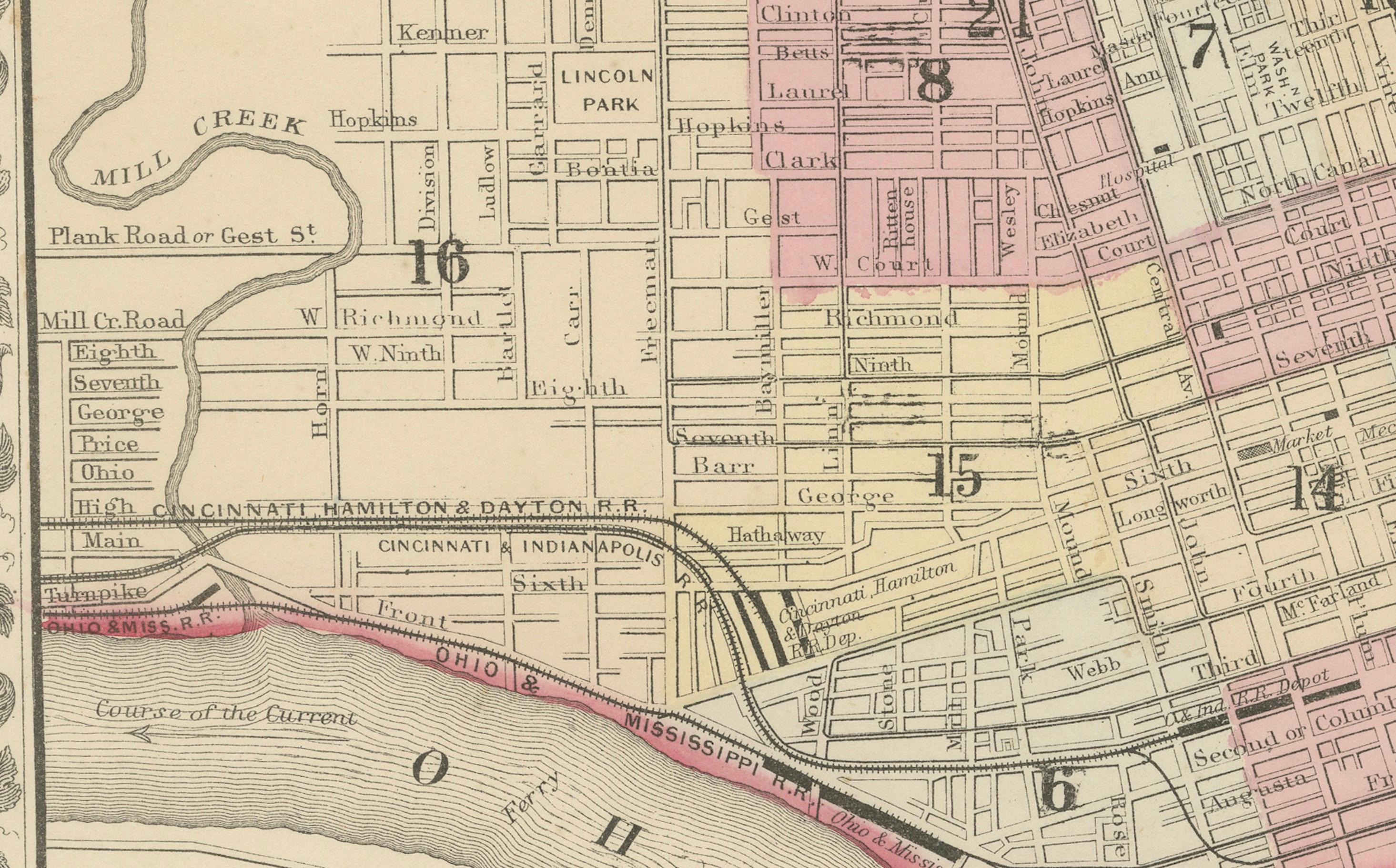
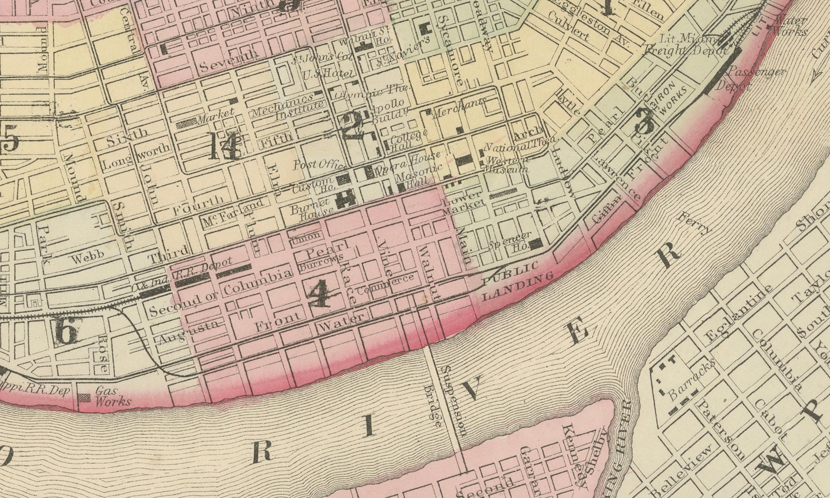
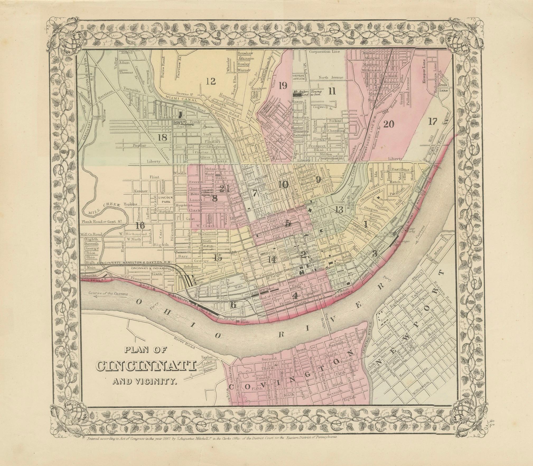
Plan of Cincinnati Map, USA c.1870 – Hand-Colored Street Plan with Wards
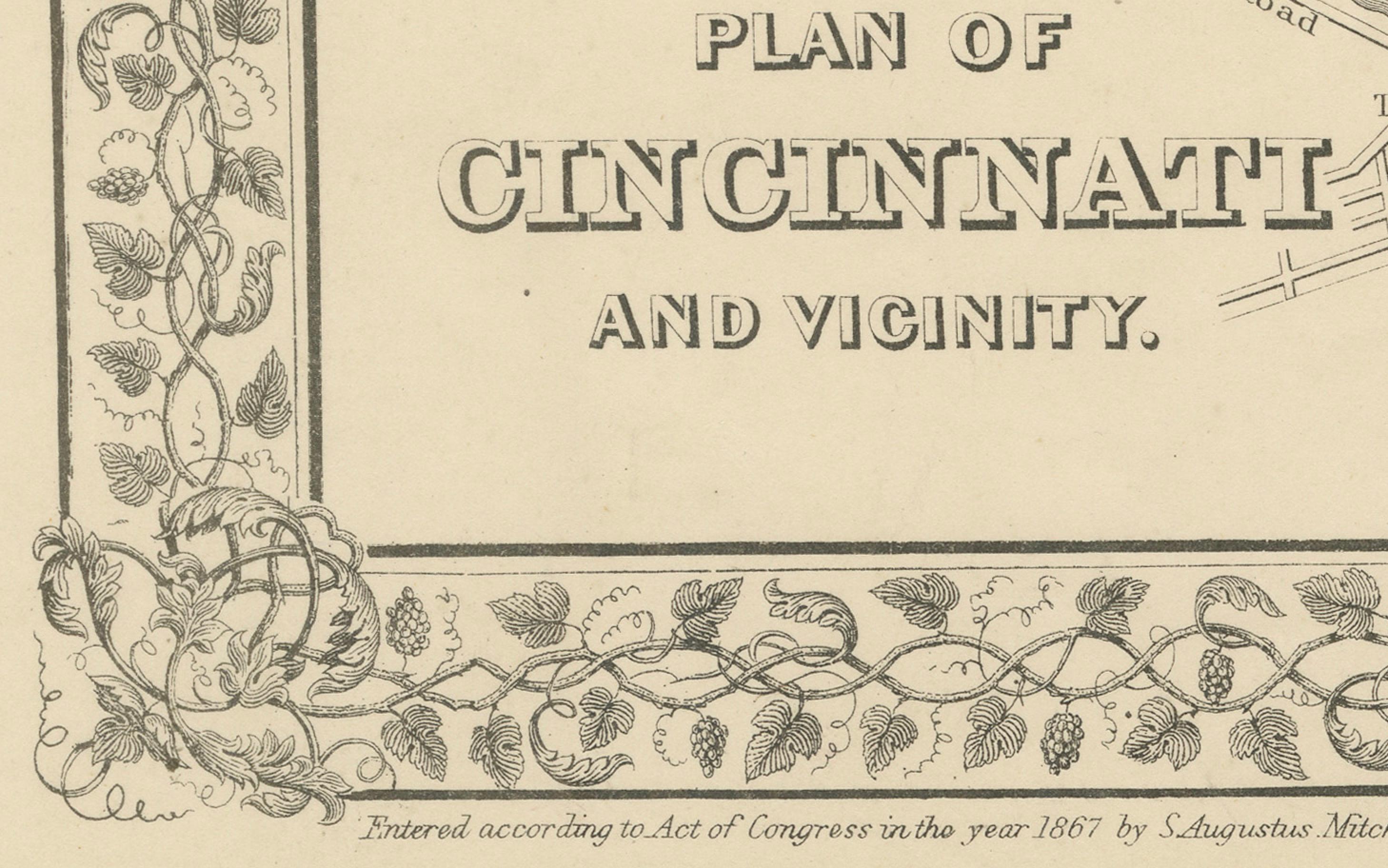
This is a finely engraved and hand-colored street plan titled Plan of Cincinnati and Vicinity, published in the United States circa 1870. It shows the detailed layout of Cincinnati, Ohio, with its wards shaded in pastel pink, green, yellow, and blue wash colors.
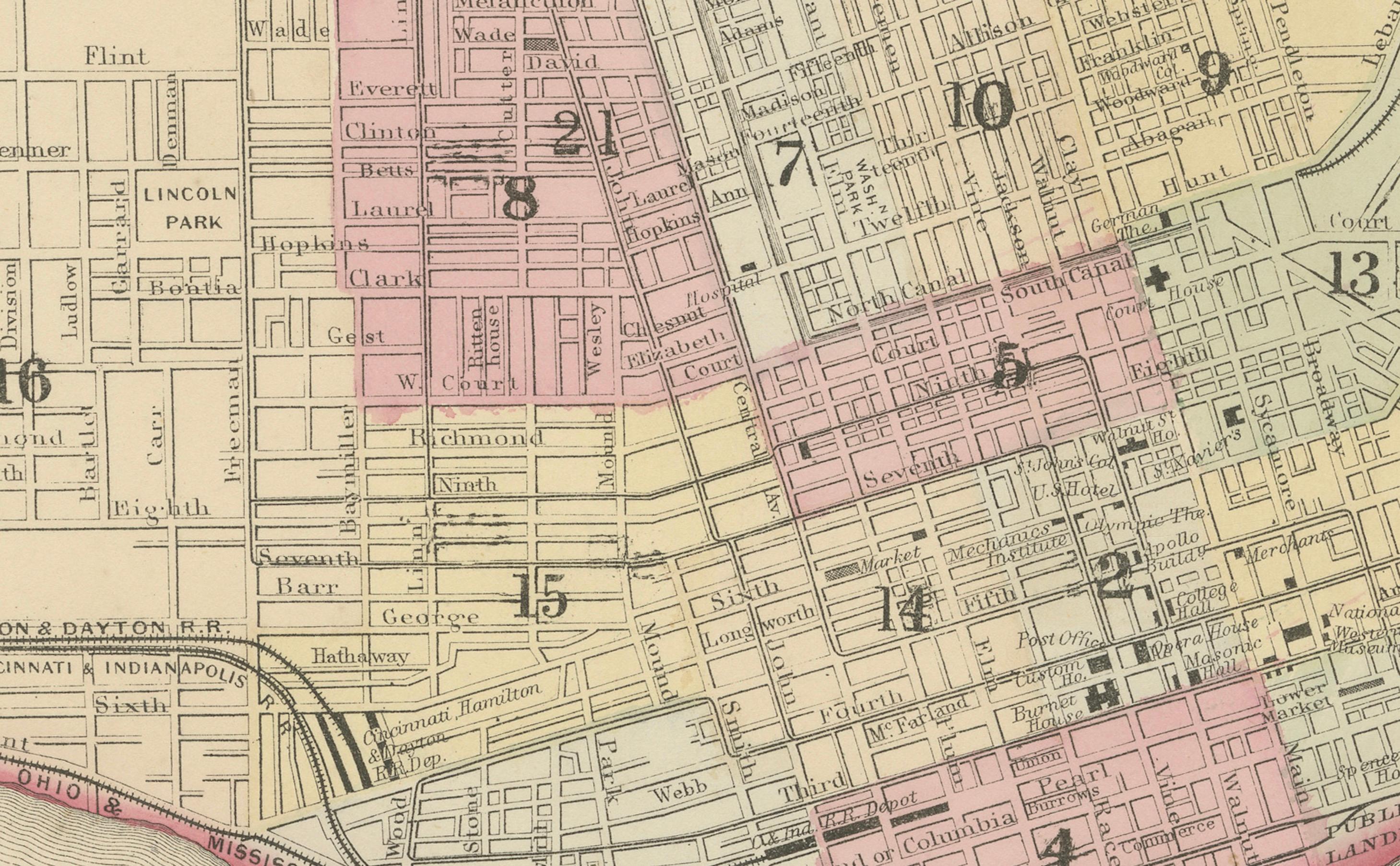
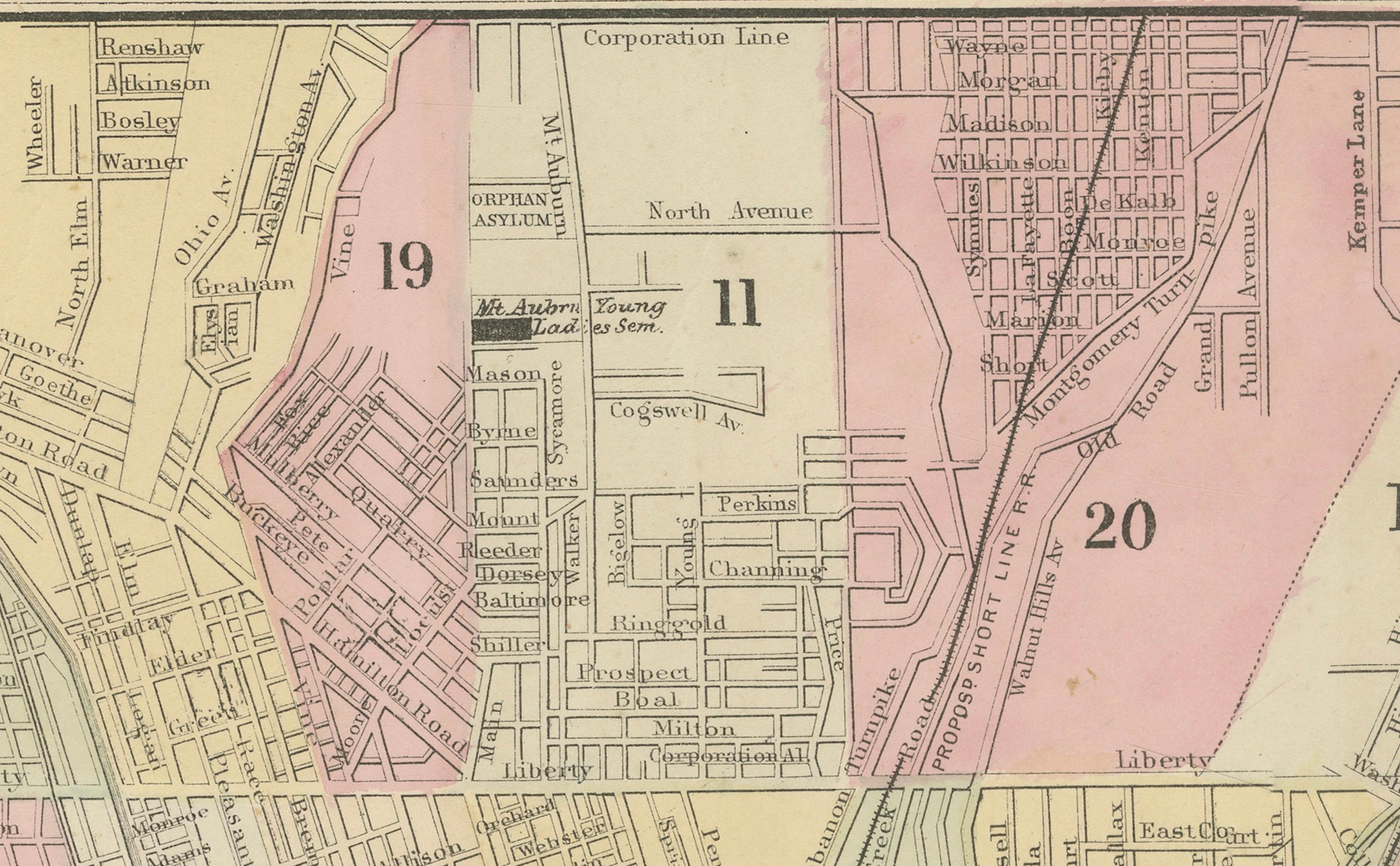
The map details streets, railroads, canals, bridges, and significant urban features. It includes ward numbers clearly marked, the Miami Canal, Mill Creek, and the Ohio River with Covington, Kentucky, visible across the river. The floral decorative border surrounding the map is typical of American atlas city plans from the mid to late 19th century, adding decorative appeal.
This city plan reflects Cincinnati’s urban development during the post-Civil War industrial boom when it was known as the “Queen City of the West,” a major trade, manufacturing, and cultural center along the Ohio River. Such plans were included in county and state atlases or urban directories for civic reference, property sales, and promotional publications.
Condition report:
Good condition. Strong impression with bright original hand coloring. Light general age toning and minor marginal handling marks typical for antique atlas maps. One tear in lower border touching image. Wide margins and plate mark intact.
Framing suggestion:
Frame with a simple black or dark wood frame and an archival off-white or cream mat to highlight the pastel coloring and decorative floral border. UV-protective glass is recommended to preserve paper quality and prevent fading.