About this sheet
Antique Map of Eastern Europe – Russia, Ottoman Empire and Greece by Andriveau-Goujon, 1868
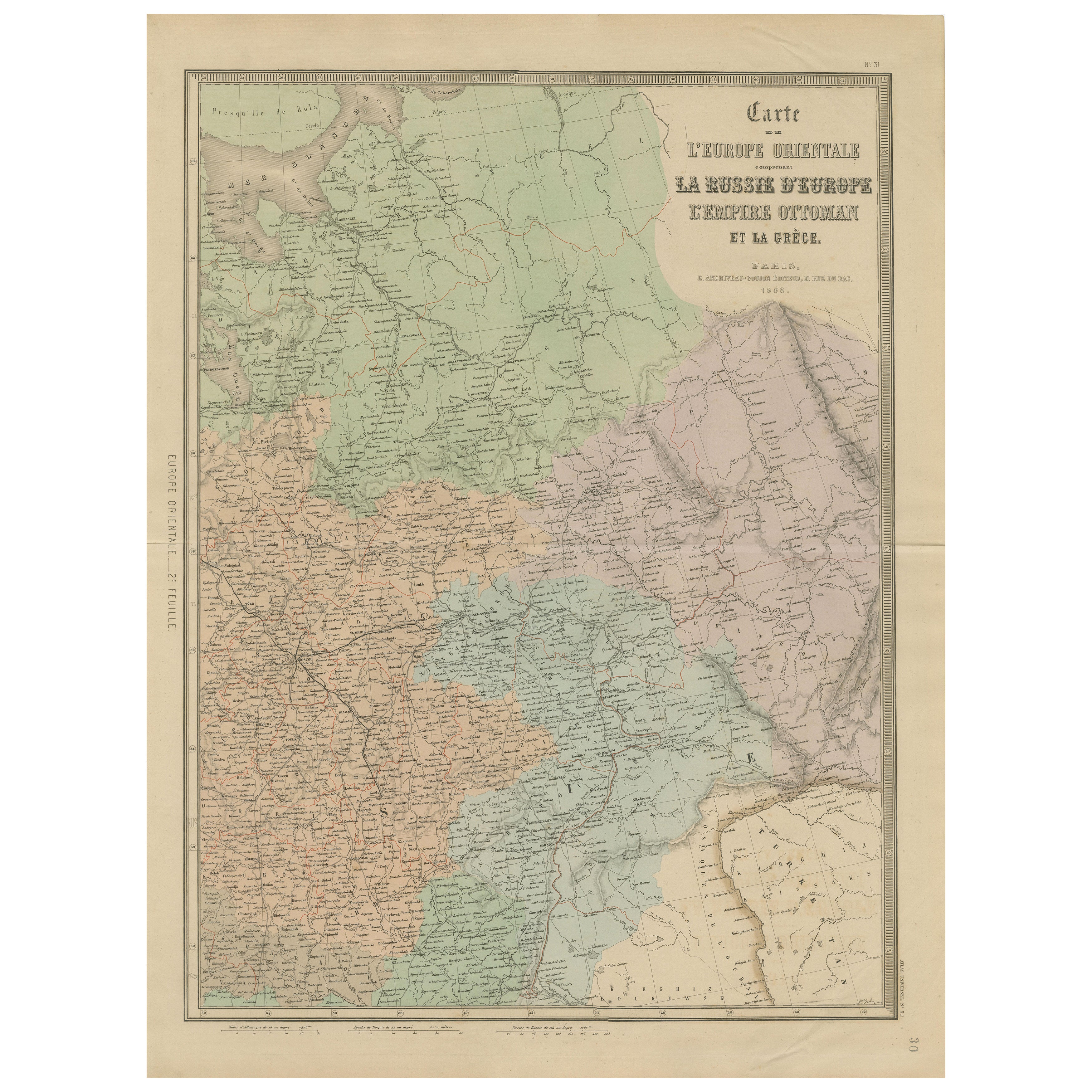
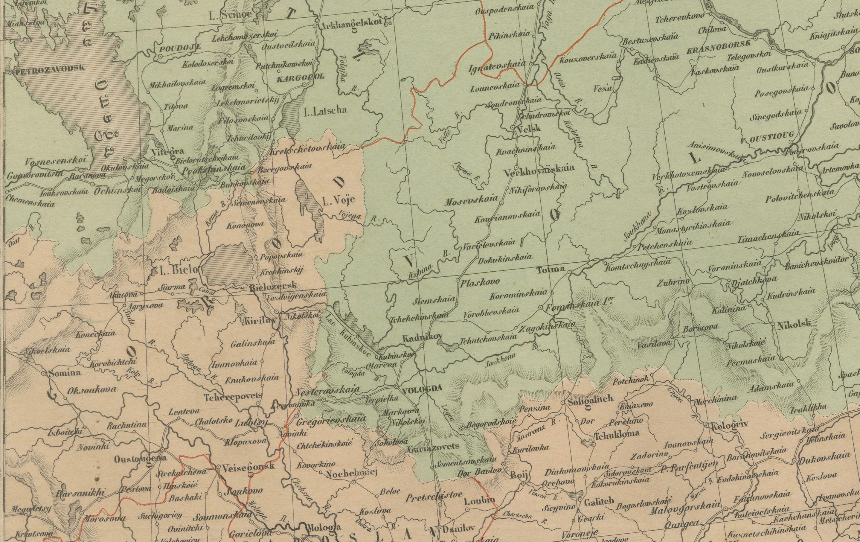
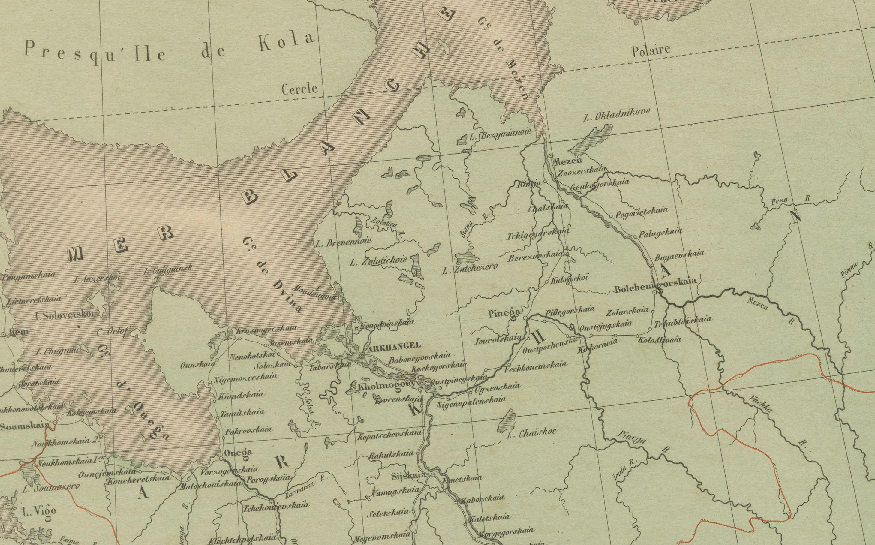
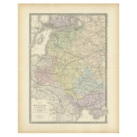
This detailed antique map titled “Carte de l’Europe Orientale, la Russie d’Europe, l’Empire Ottoman et la Grèce” was published in Paris in 1868 by E. Andriveau-Goujon. Issued as plate number 31 from the Atlas Universel, the map presents the eastern portion of the European continent at a time of significant geopolitical tension between the Russian and Ottoman Empires.
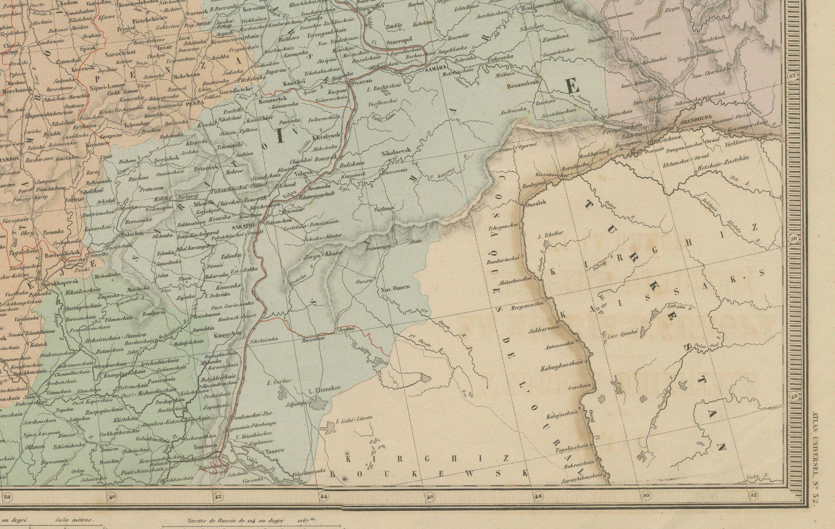
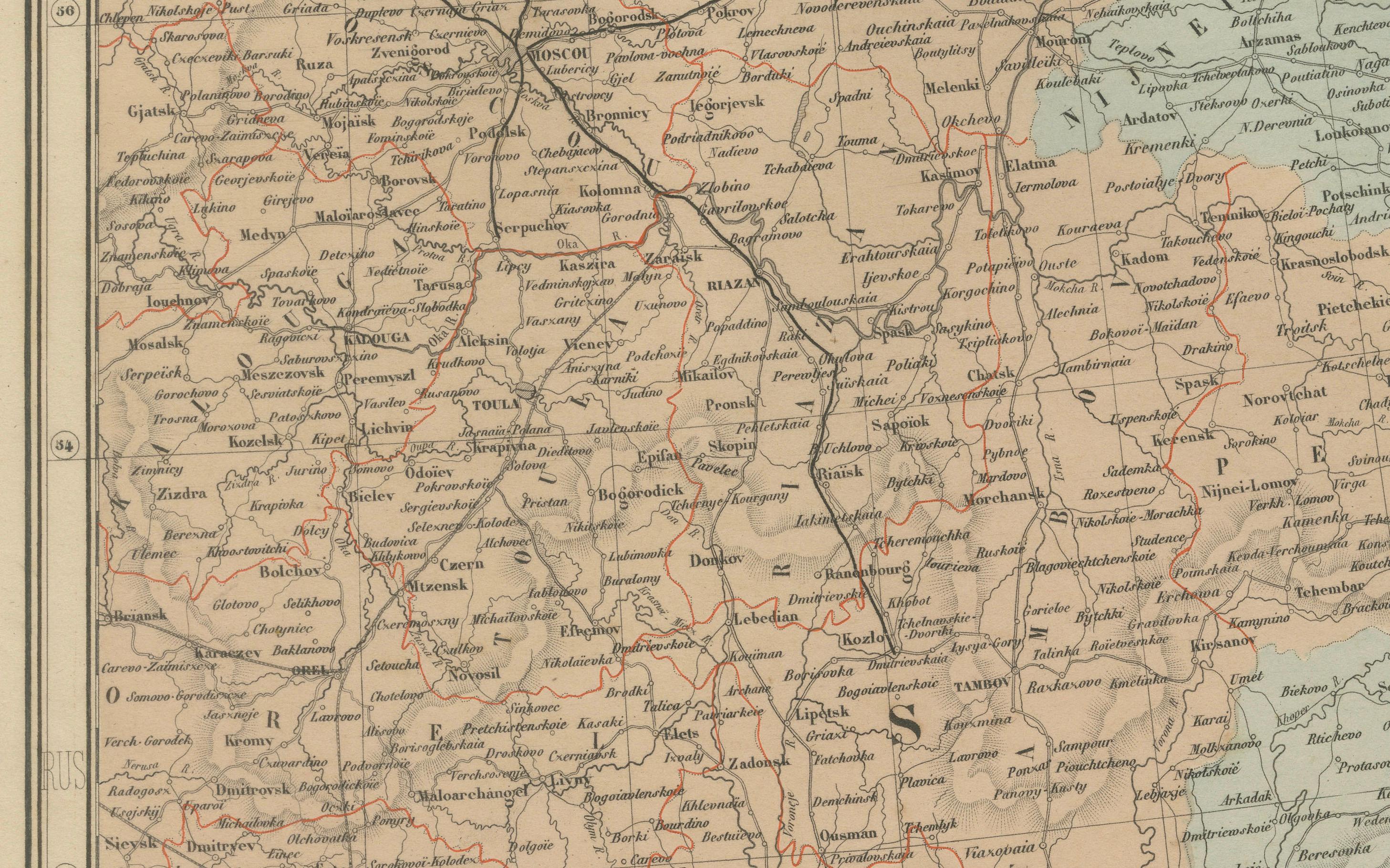
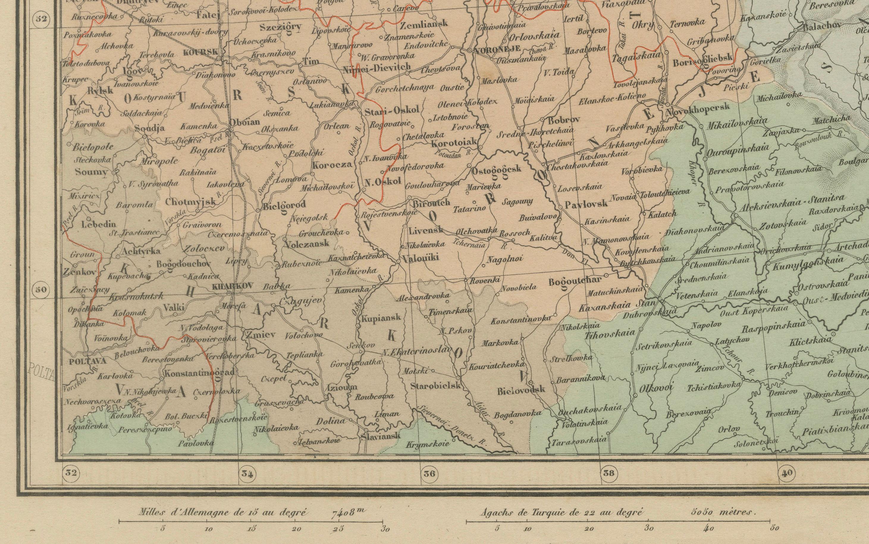
The map extends from the Gulf of Finland and the Baltic region in the north down to the northern part of the Mediterranean, including the Black Sea and parts of Asia Minor. It spans westward from present-day Poland, Hungary, and Austria, all the way east across Ukraine and into western Russia. The territories are hand-colored to distinguish the dominant empires and regions: the Russian Empire in green, the Ottoman-controlled Balkans in brown, and Greece in pale pink.
Major cities and trade centers are clearly labeled, including Saint Petersburg, Moscow, Kiev, Warsaw, Odessa, Bucharest, Constantinople (Istanbul), Athens, and Thessaloniki. Extensive road and river networks are finely engraved, and important geographic features such as the Carpathian and Balkan mountain ranges, the Danube River, and the Black Sea are prominently shown.
The map reflects a tense period in 19th-century Europe, with the weakening Ottoman grip on the Balkans and the growing influence of Russia in southeastern Europe. This was also a time of national awakenings and independence movements, particularly in the Balkans and among the Slavic peoples. The map offers valuable insight into the imperial boundaries and regional divisions just a decade before the Russo-Turkish War (1877–78) and the further fragmentation of Ottoman control in Europe.
Condition: Very good condition. Slight toning to edges and minimal foxing in margins. Strong plate impression with original pastel hand coloring. Original centerfold as issued. Plate number 31 at top right.
Framing tips: A dark wood or antique gold frame with an ivory mat is ideal. A pale green or rust-colored inner mat can subtly draw out the imperial colors and enhance the period look.
Technique: Engraving with original hand coloring
Maker: E. Andriveau-Goujon, Paris, 1868