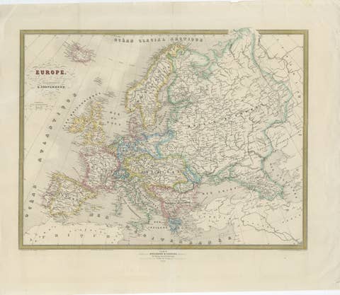
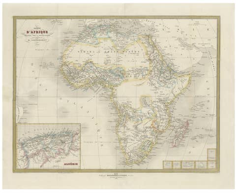
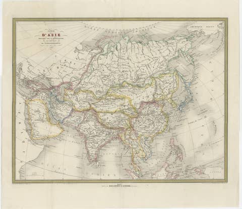
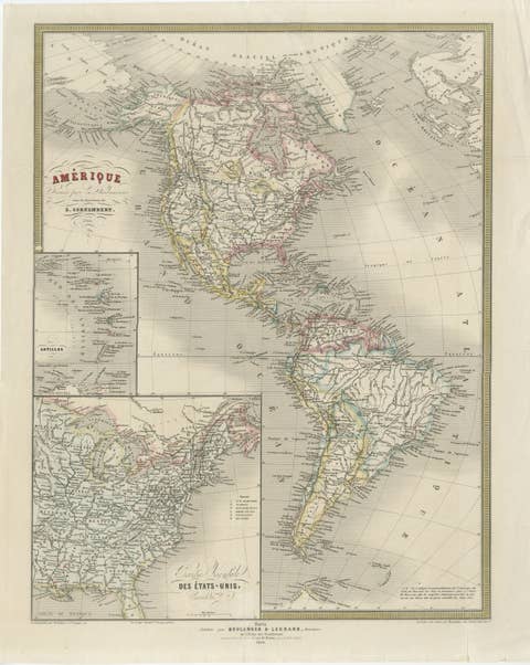
About this sheet
Antique Map of Algeria, Tunisia & Tripolitania – Andriveau-Goujon, Paris 1865
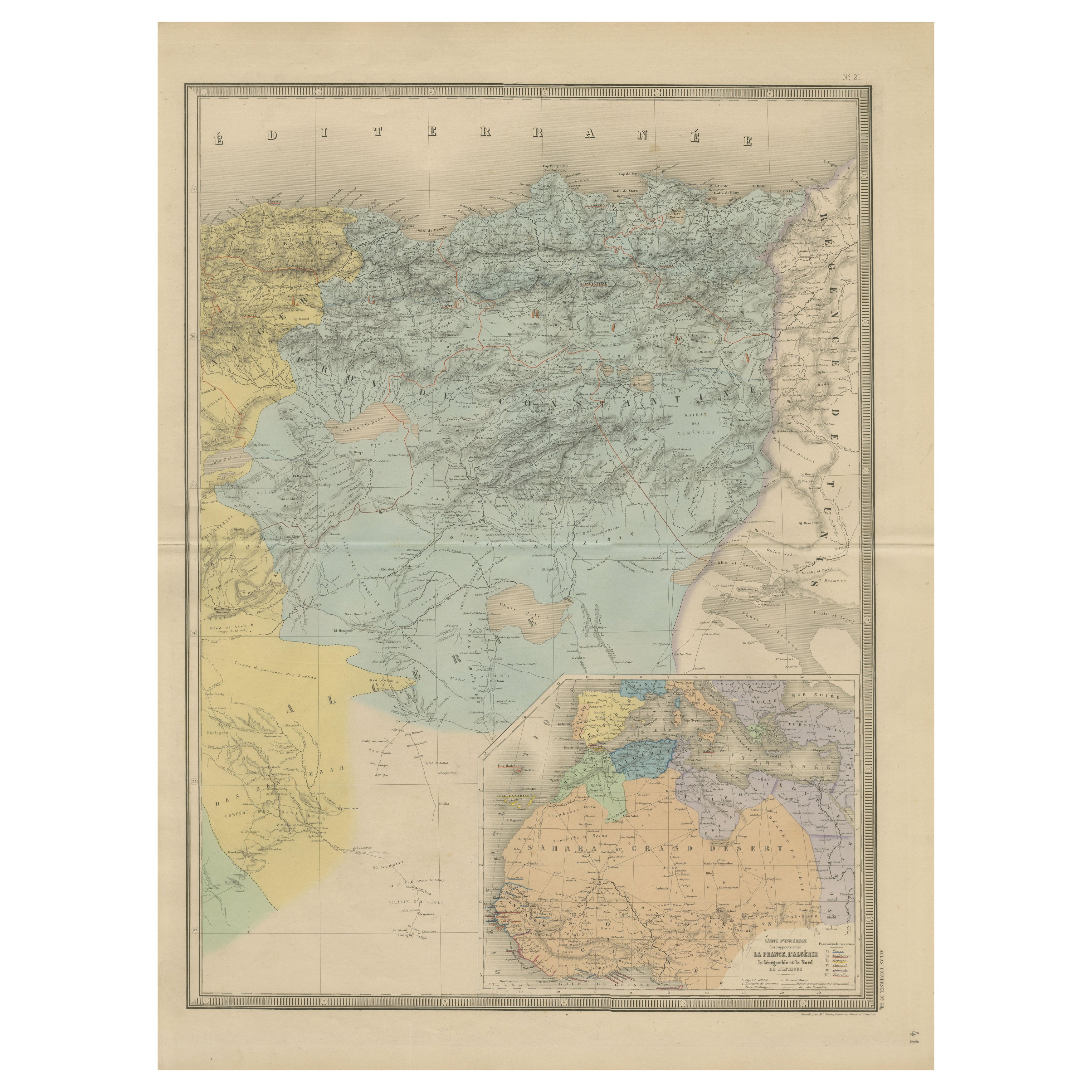
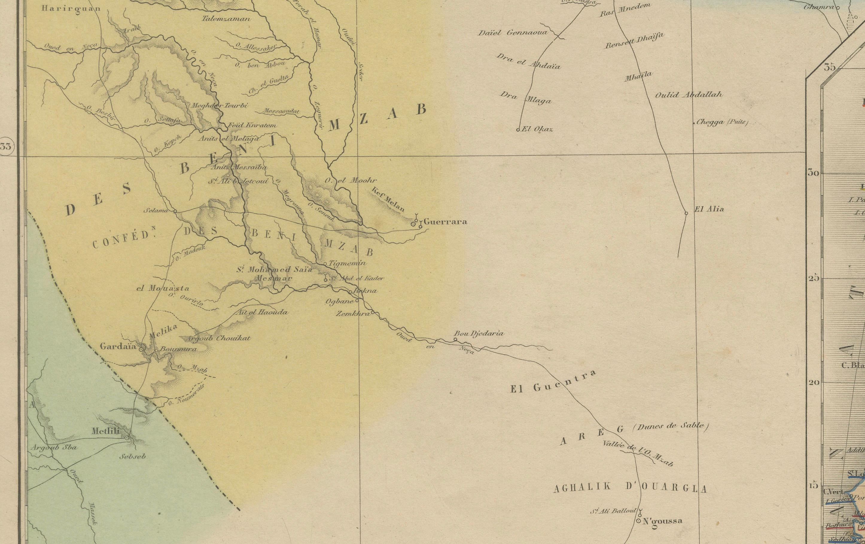
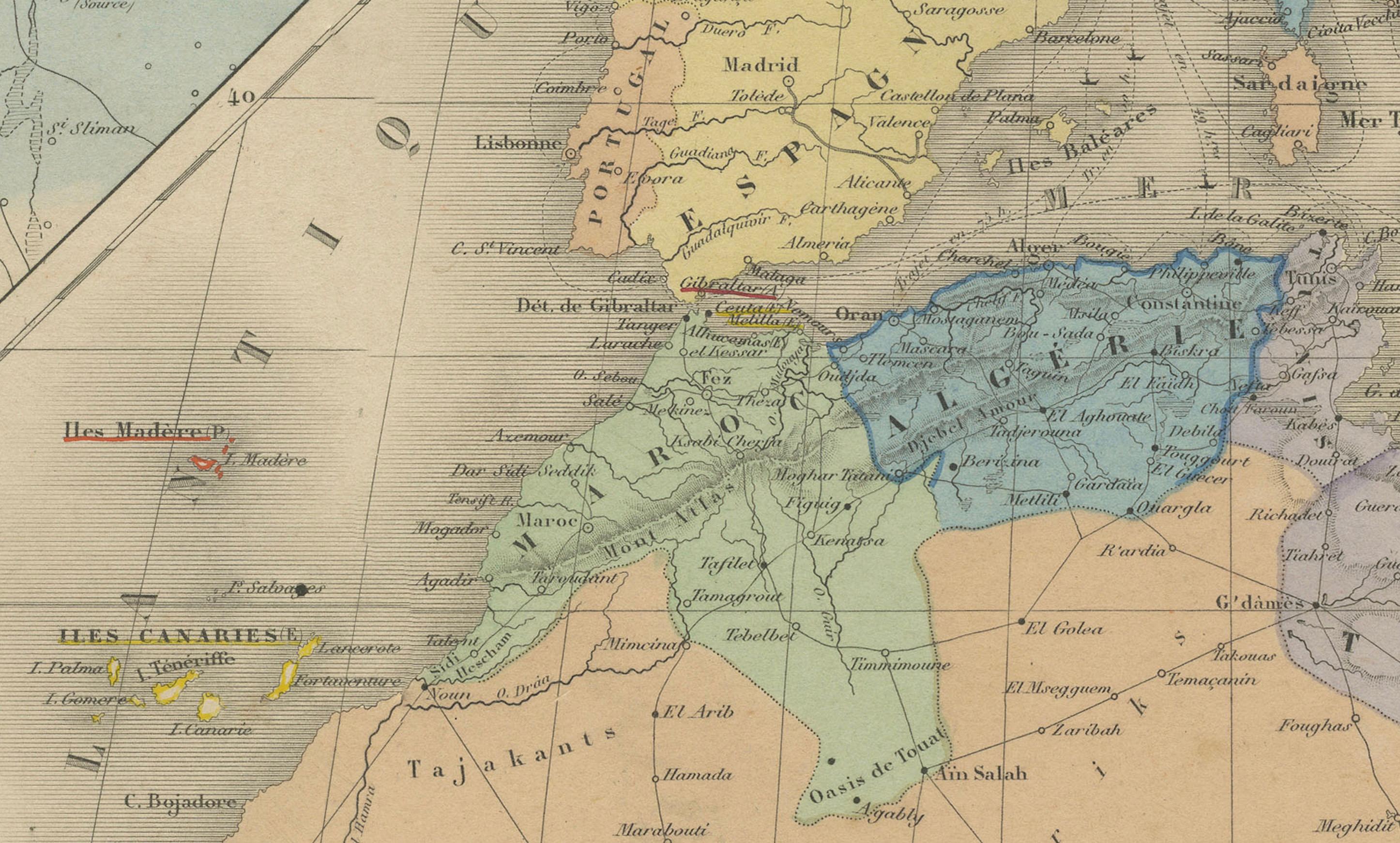
This finely detailed and beautifully colored map was engraved and published in Paris in 1865 by the renowned cartographer E. Andriveau-Goujon. Titled *Carte d’Algérie, de la Tunisie et de la Tripolitaine*, it captures a key region of North Africa during the 19th century, when colonial interests were rapidly expanding and geopolitical dynamics were in flux.
The map focuses on the northern stretch of Africa along the Mediterranean, showing the territories of modern-day Algeria, Tunisia, western Libya (then known as Tripolitaine), and parts of the Sahara. Coastal cities such as Algiers, Tunis, and Tripoli are prominently marked, as are key inland locations such as Constantine, Biskra, and Ghadames.
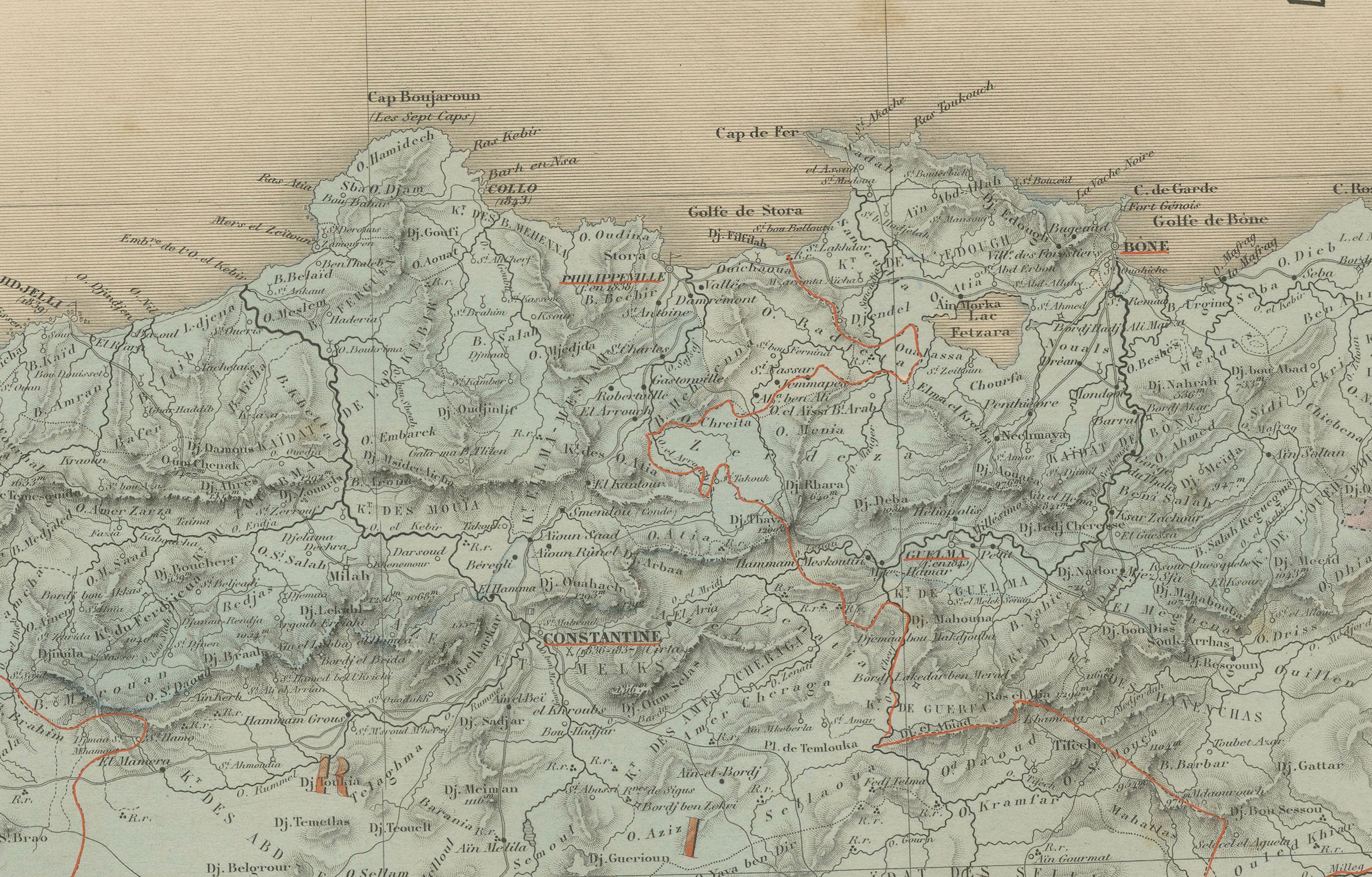
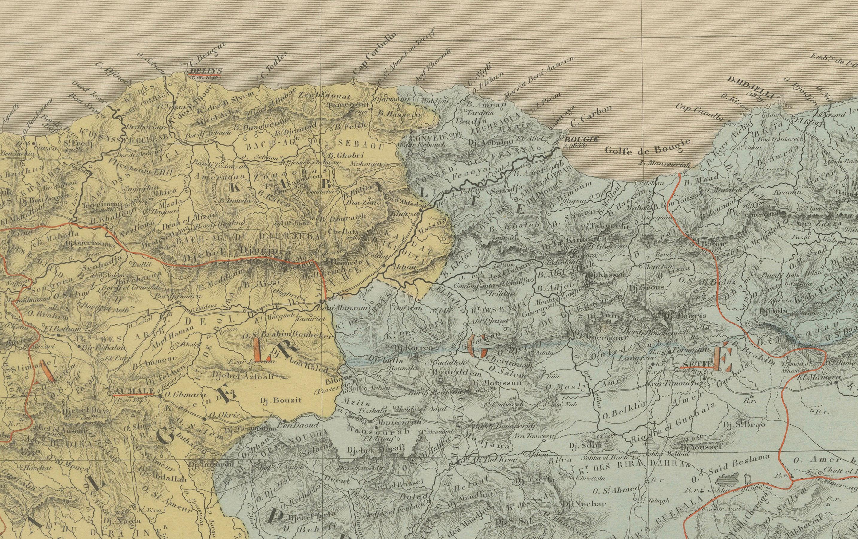
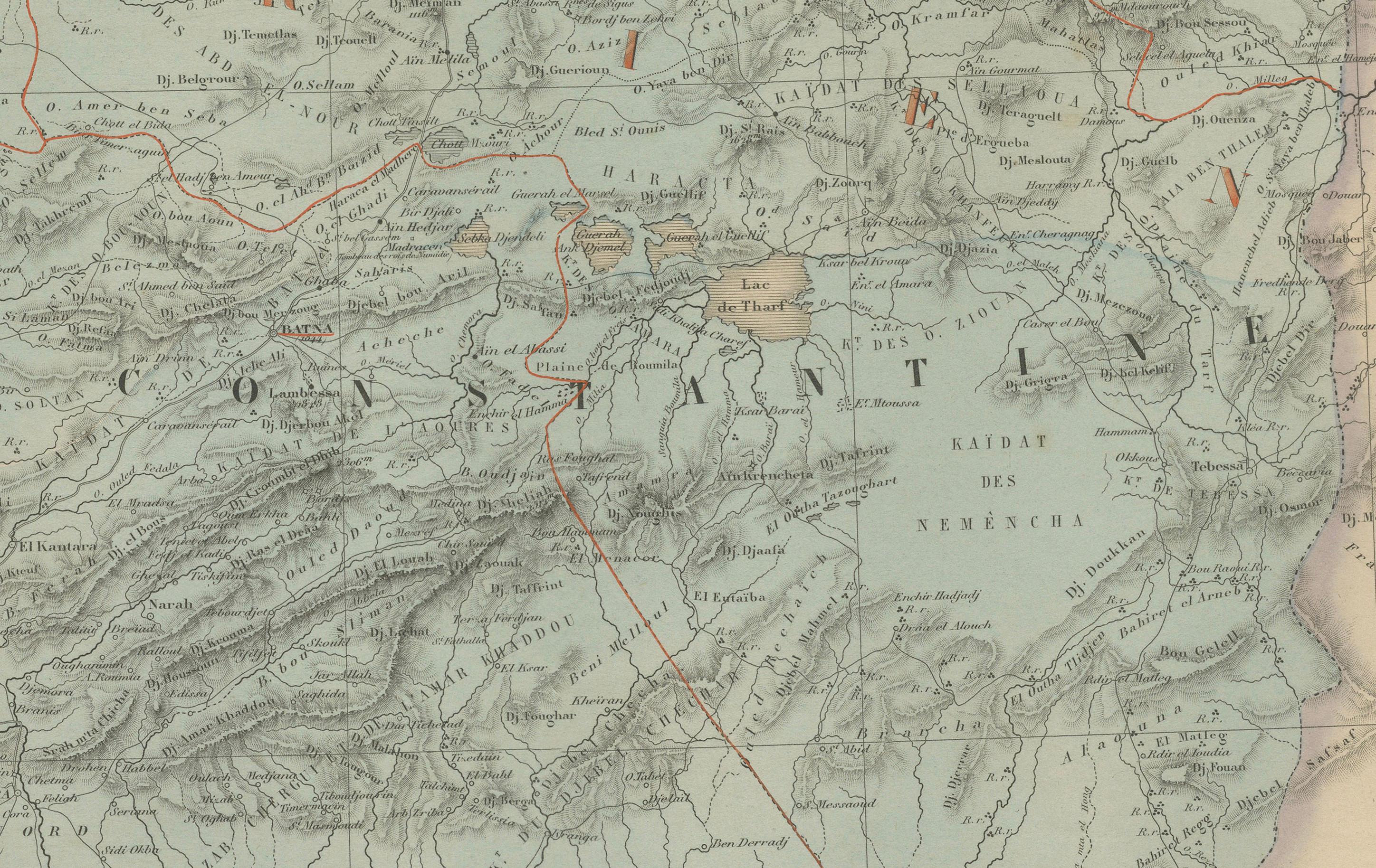
What sets this map apart is the inclusion of detailed topographic information, including mountain ranges, wadis (riverbeds), and the extensive desert terrain that defines much of the interior. French military routes and administrative boundaries are overlaid across Algeria, which by this time had been colonized by France (since 1830), and whose mapping was of both strategic and political significance.
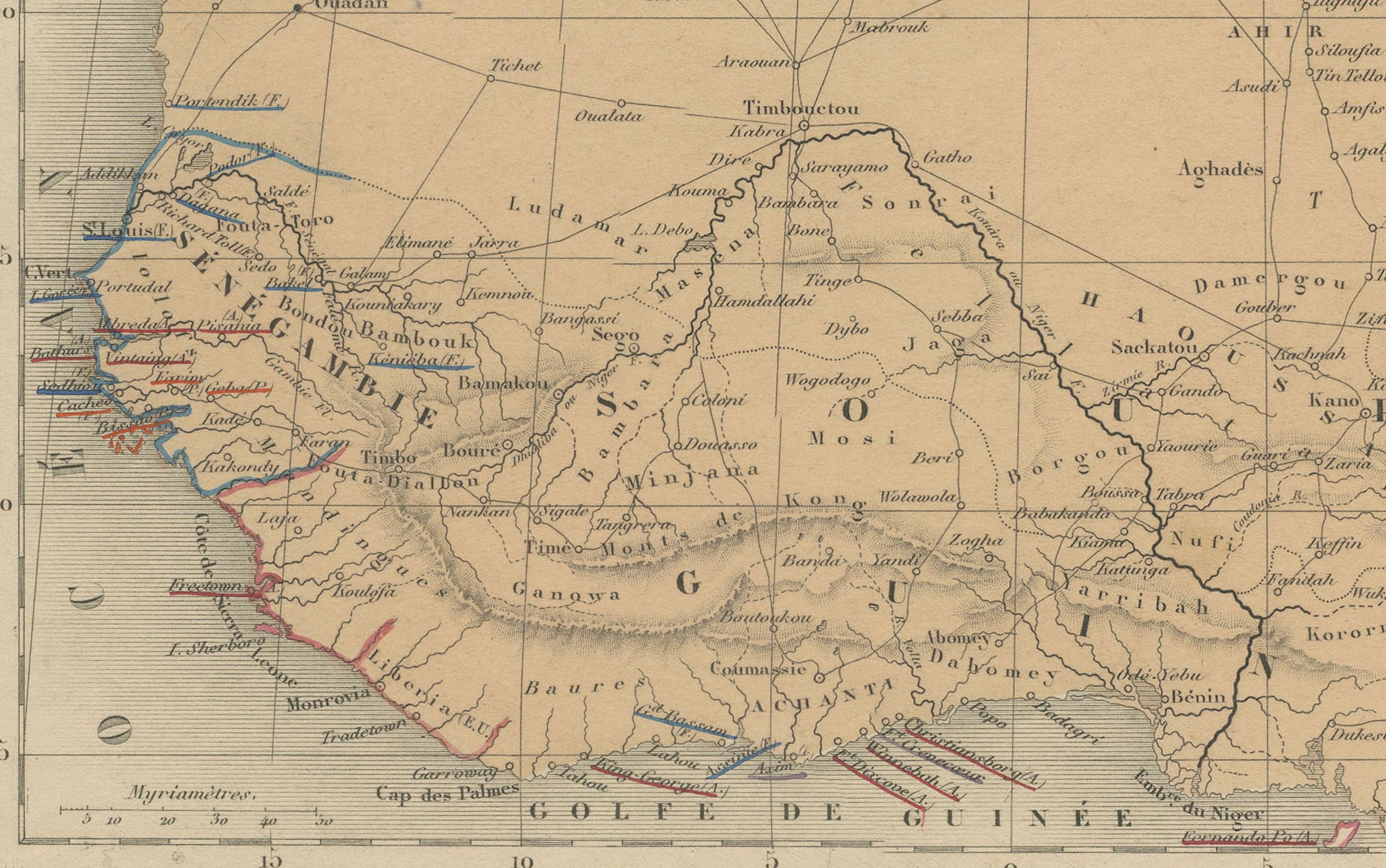
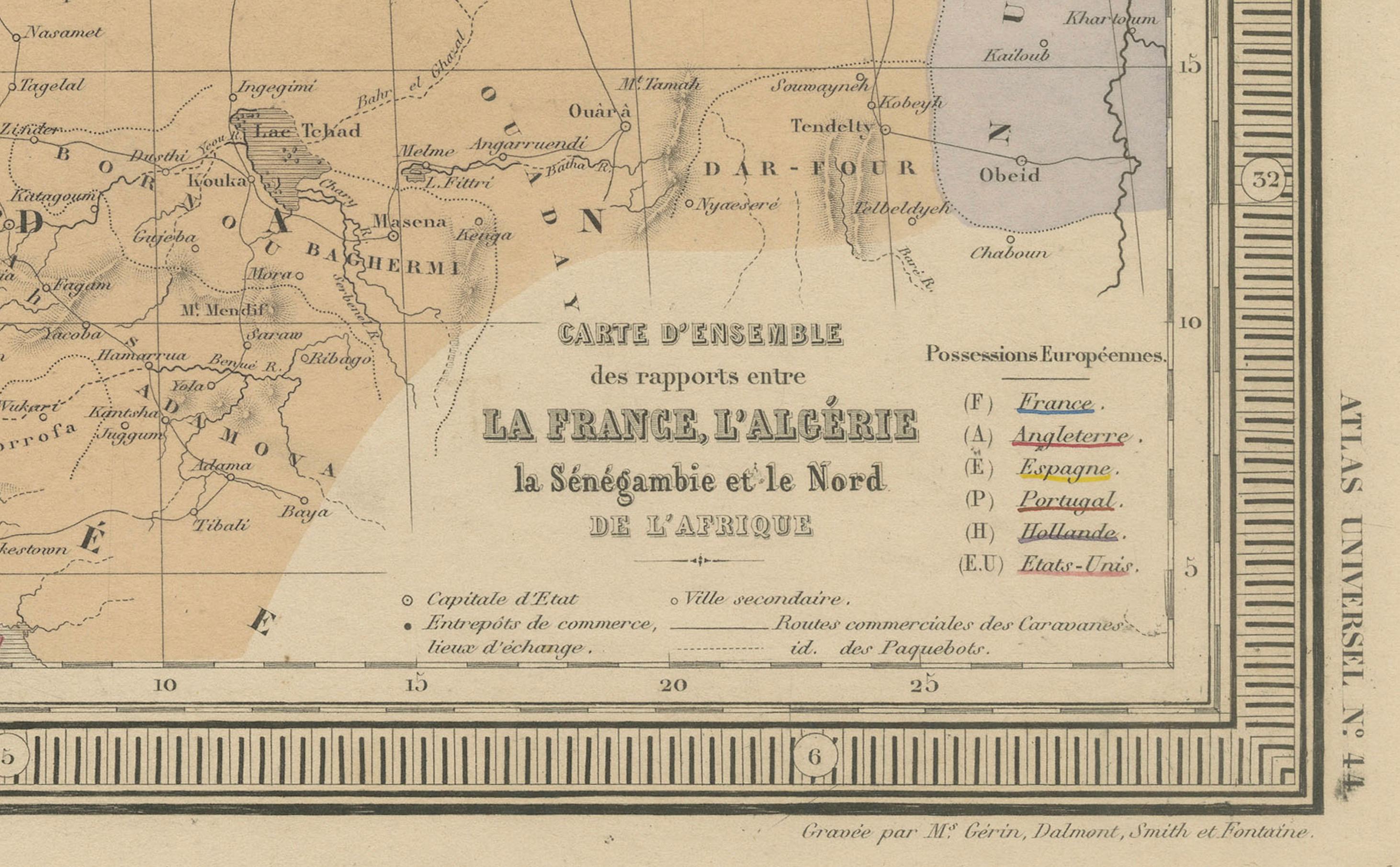
In the bottom right corner, the map features a well-detailed inset titled Carte d’Ensemble de l’Afrique Septentrionale, providing an overview of the broader Maghreb and Sahel regions, including Morocco, Mauritania, Senegal, and parts of modern-day Mali and Niger. The inset serves as a geographic context for the larger regional interactions in West and North Africa, particularly with regard to trade, French exploration, and colonial expansion.
The map is a compelling document for collectors interested in the history of French colonial cartography, North African geopolitics, and the shifting understanding of Africa’s geography in the mid-19th century.
Condition: Very good condition with original hand color. Light toning at the edges and some minor creases near the centerfold, typical for atlas maps of this age. No tears or repairs.
Framing tips: A dark brown or matte black frame with an ivory or sand-colored mat would best highlight the map’s delicate coloration and historical detail.
Technique: Engraving with original hand coloring
Maker: E. Andriveau-Goujon, Paris, 1865