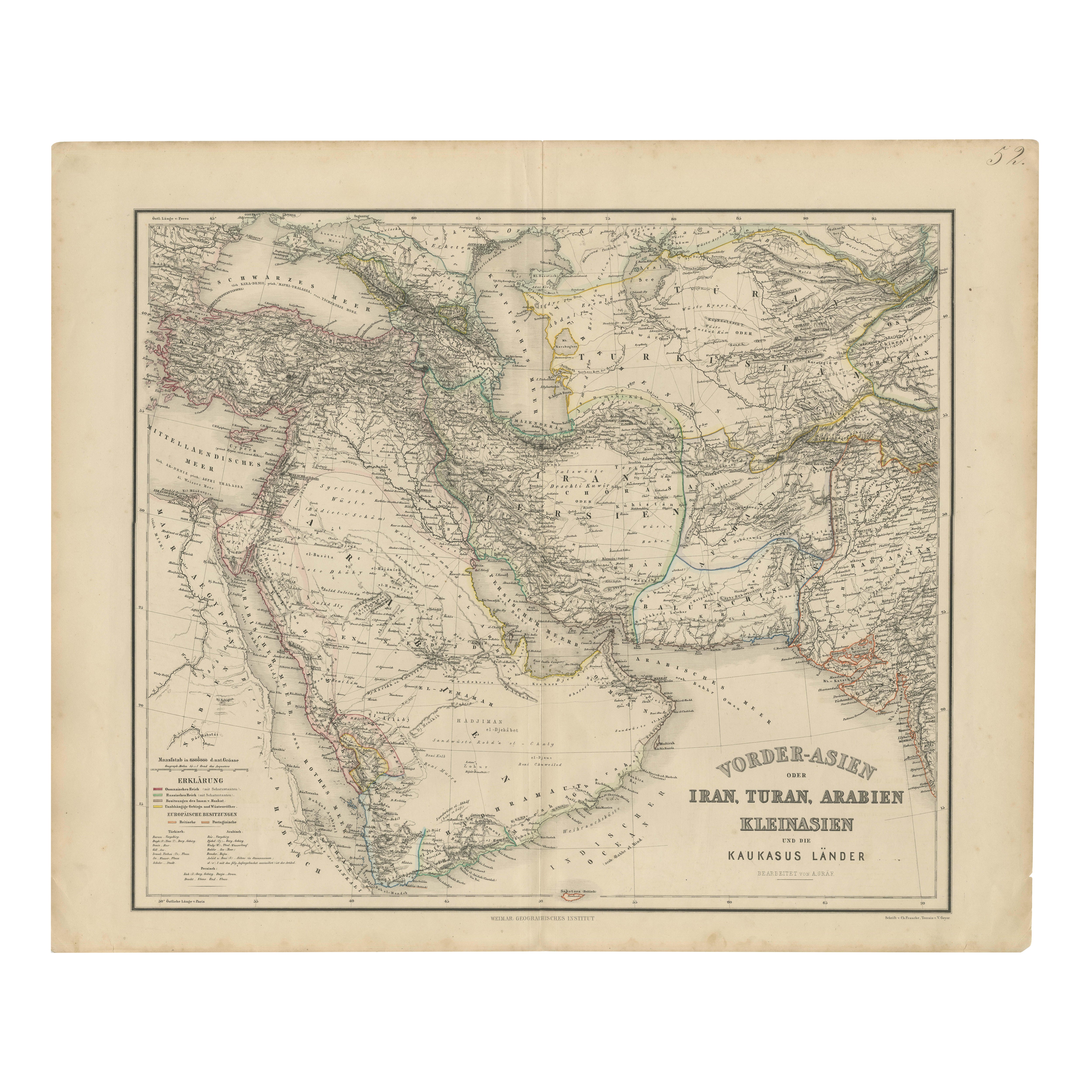
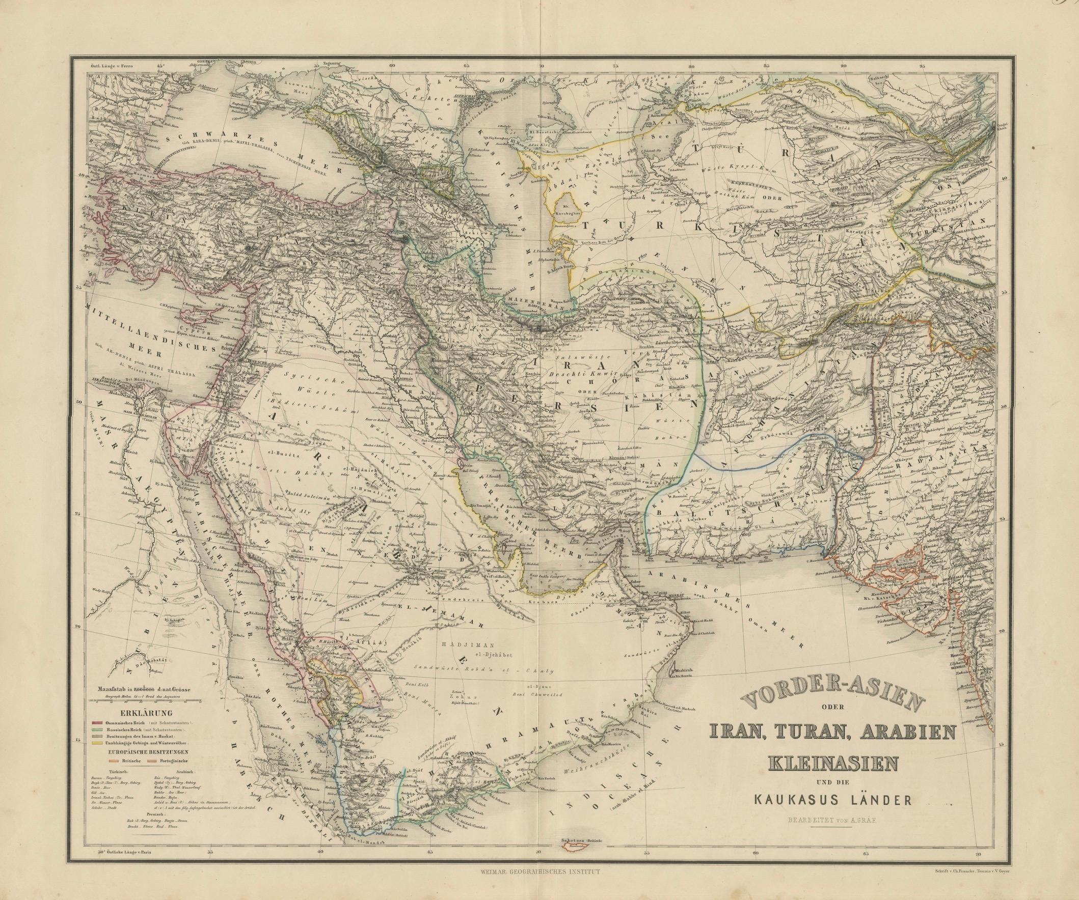
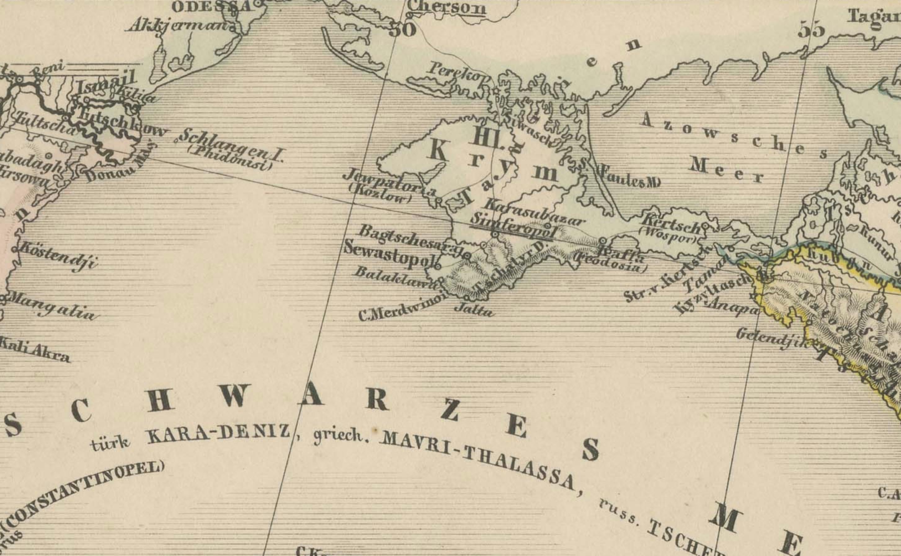
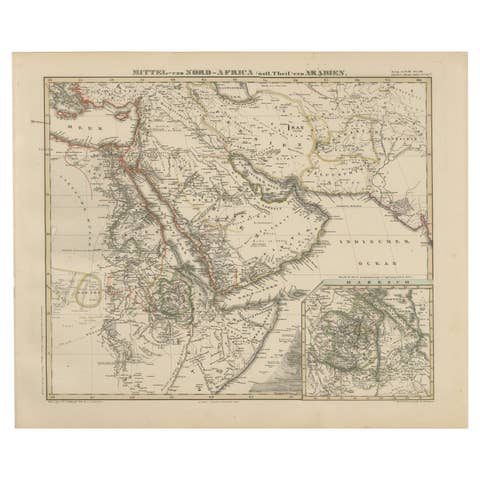
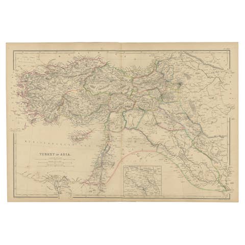
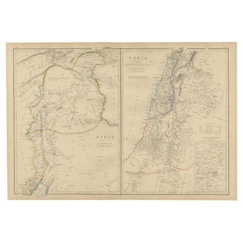
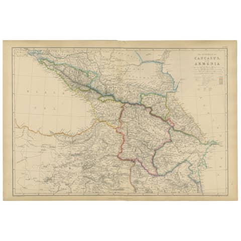
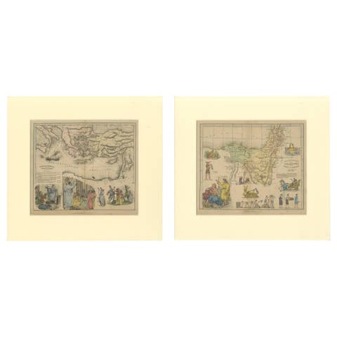
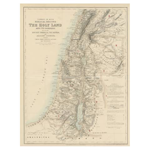
Map of Iran, Arabia, Asia Minor & Caucasus by Perthes, 1858
€ 640
One of a kind: this is the sheet in the photographs. Ships from Langweer, the Netherlands.
Date
1858
Sheet size
57.5 × 69 cm (22.6 × 27.2 in)
Condition
Good
Reference
BG-13746-20
Condition
Good condition. Strong dark impression on clean paper with original outline hand coloring. Light general age toning, faint scattered spots in margins, and minor marginal handling marks typical for maps of this age. Original center fold as issued.
About this sheet
Map of Iran, Arabia, Asia Minor & Caucasus by Perthes, 1858
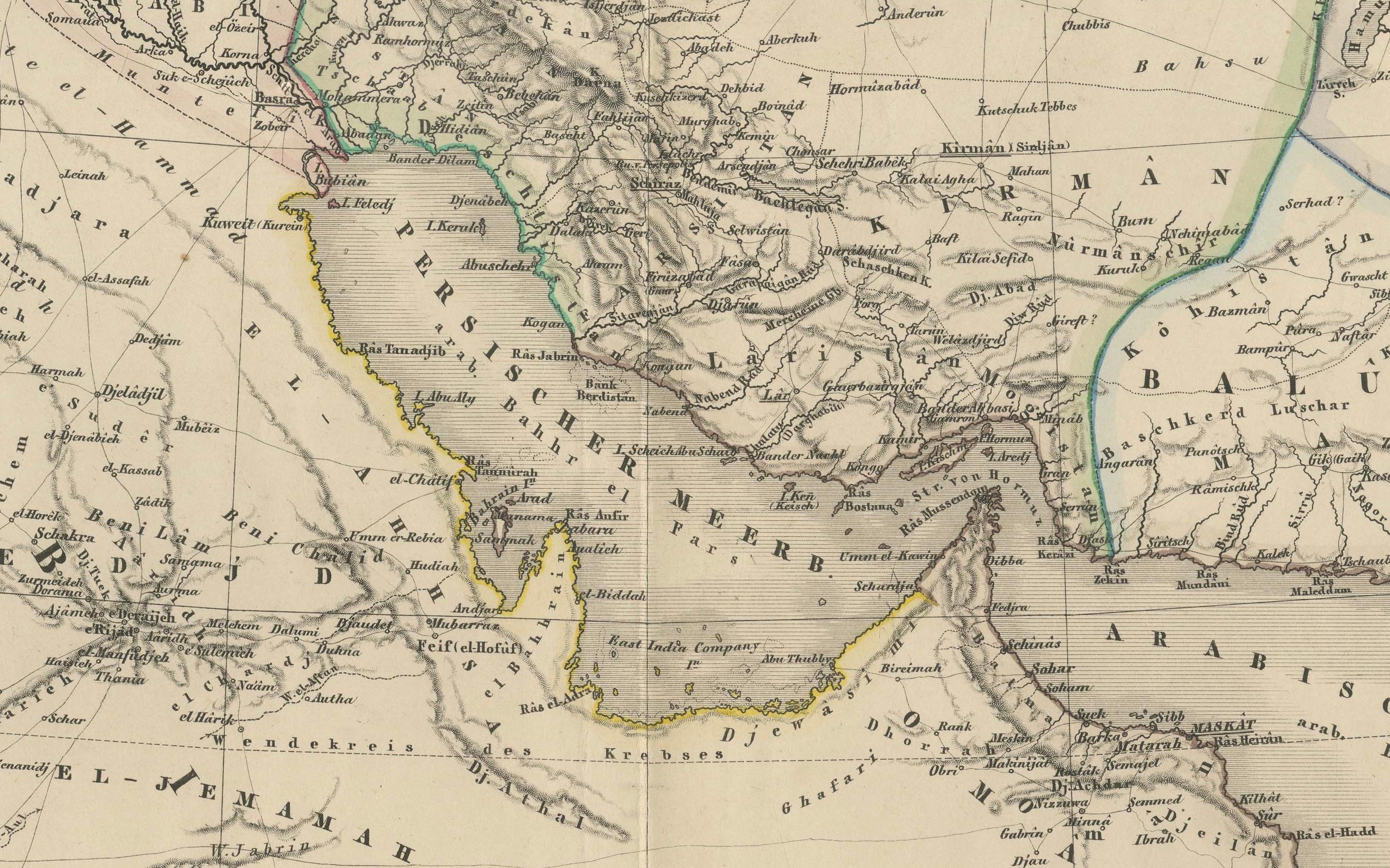
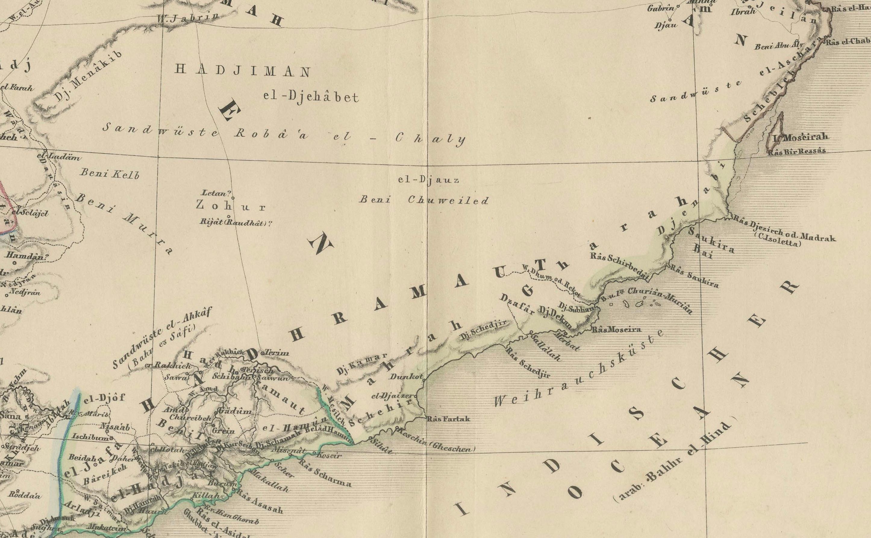
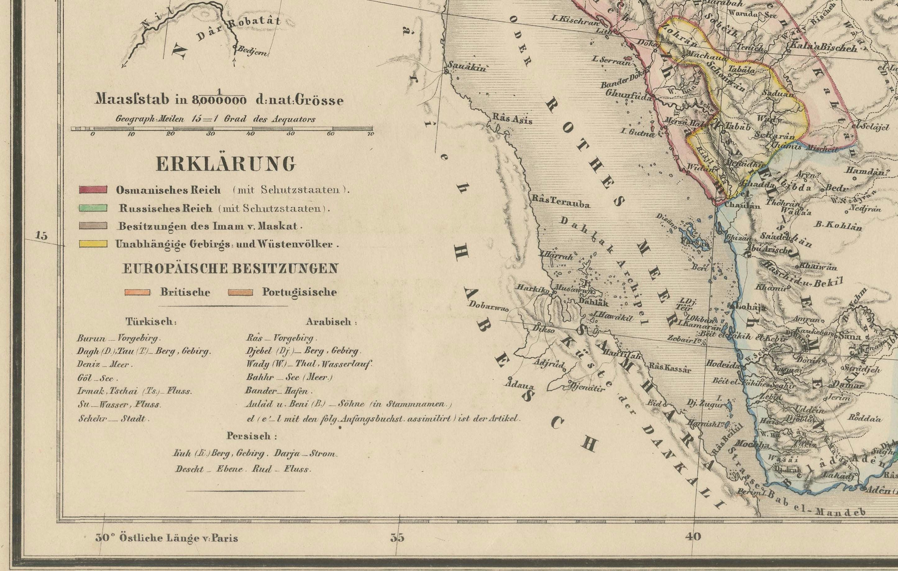
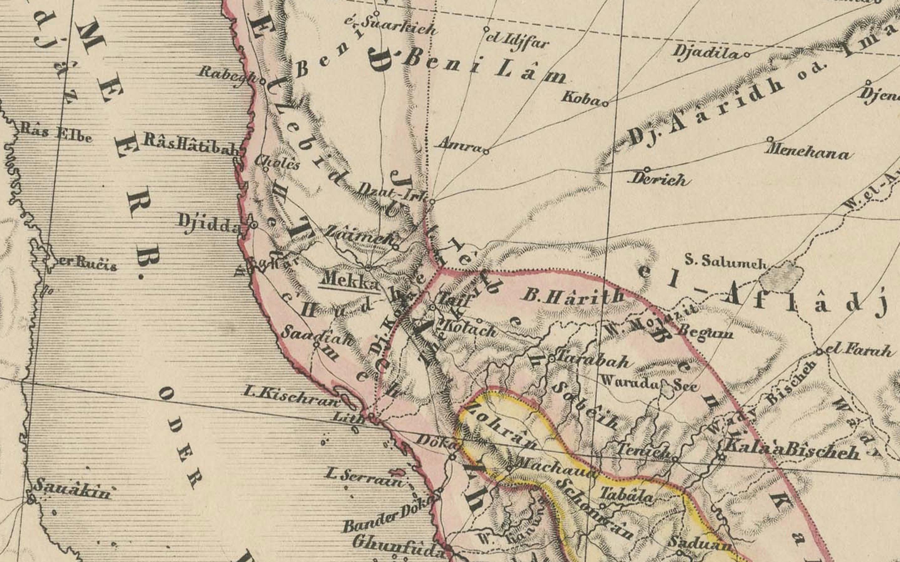
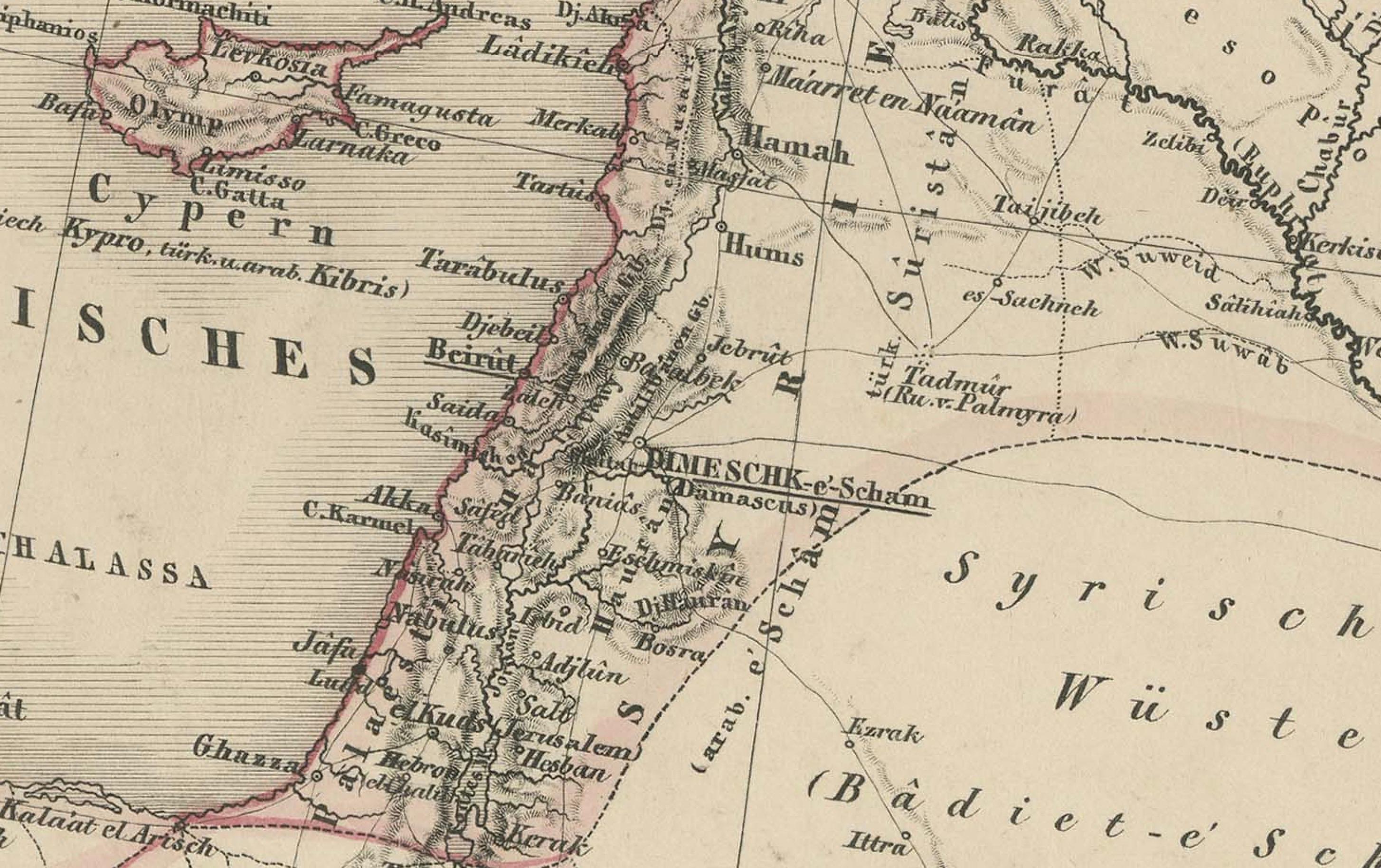
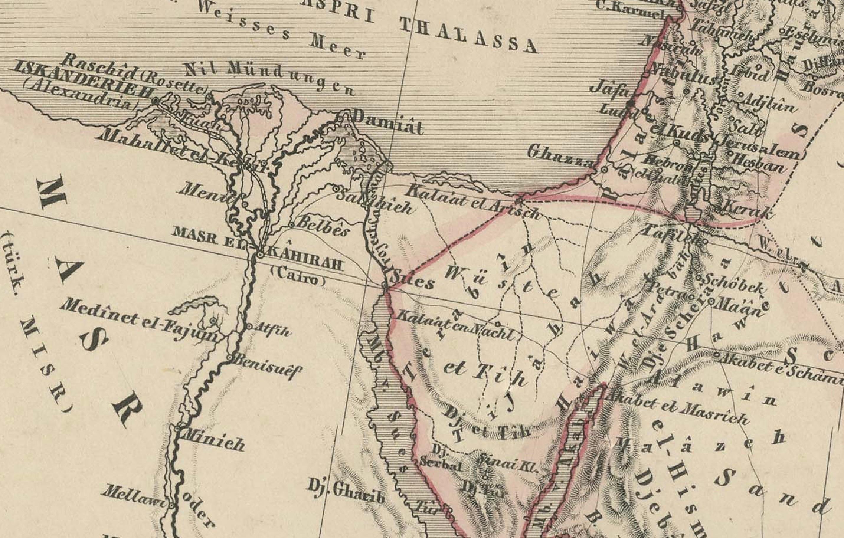
This is a detailed engraved map titled Vorder-Asien oder Iran, Turan, Arabien, Kleinasien und die Kaukasus Länder, published by the Weimar Geographisches Institut (Justus Perthes) in 1858. The map depicts Western Asia including modern-day Turkey, Iran, Iraq, the Arabian Peninsula, Central Asia, and the Caucasus region.
It shows extensive political boundaries, major cities, rivers, and mountain ranges with precise German cartographic labeling. The left section includes a key (Erklärung) indicating international boundaries, regional boundaries, trade routes, and caravan roads, which were critical for understanding commerce and travel routes in the mid-19th century. The typography and engraving style are characteristic of the Weimar publishing house's scientific maps of the period.
This map is from the historical Stieler’s Hand-Atlas series, one of the finest German atlases known for its accuracy and clarity. The title cartouche is elegant yet understated, located at the lower right corner, and the map bears the engraver's imprint: "Weimar Geographisches Institut."
Condition report:
Good condition. Strong dark impression on clean paper with original outline hand coloring. Light general age toning, faint scattered spots in margins, and minor marginal handling marks typical for atlas maps of this age. Original center fold as issued with repairs.
Framing suggestion:
Frame with a classic black or dark wood moulding and an archival off-white or cream mat to emphasize the detailed engraving and subtle outline coloring. UV-protective glass is recommended to preserve the paper quality and prevent fading.