Scotland Map – Highlands, Islands, and Northern England 1858
€ 340
One of a kind: this is the sheet in the photographs. Ships from Langweer, the Netherlands.
Date
1858
Sheet size
37.5 × 45.4 cm (14.8 × 17.9 in)
Condition
Good
Reference
BG-05552-21
Condition
Condition summary: Excellent condition with minimal toning, no tears, repairs, or significant foxing. Colours remain vivid and paper is strong and stable.
About this sheet
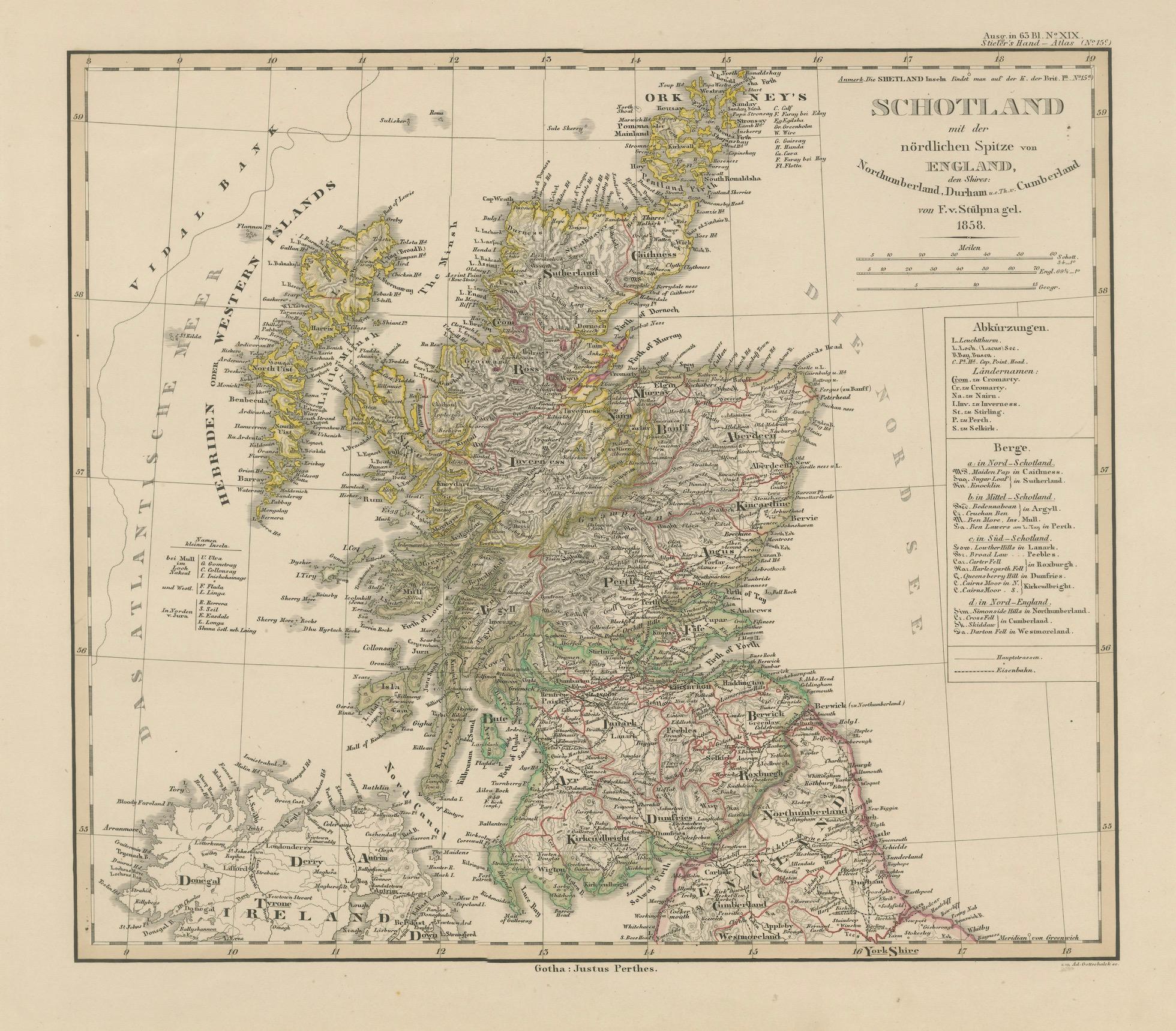
Scotland Map – Highlands, Islands, and Northern England 1858
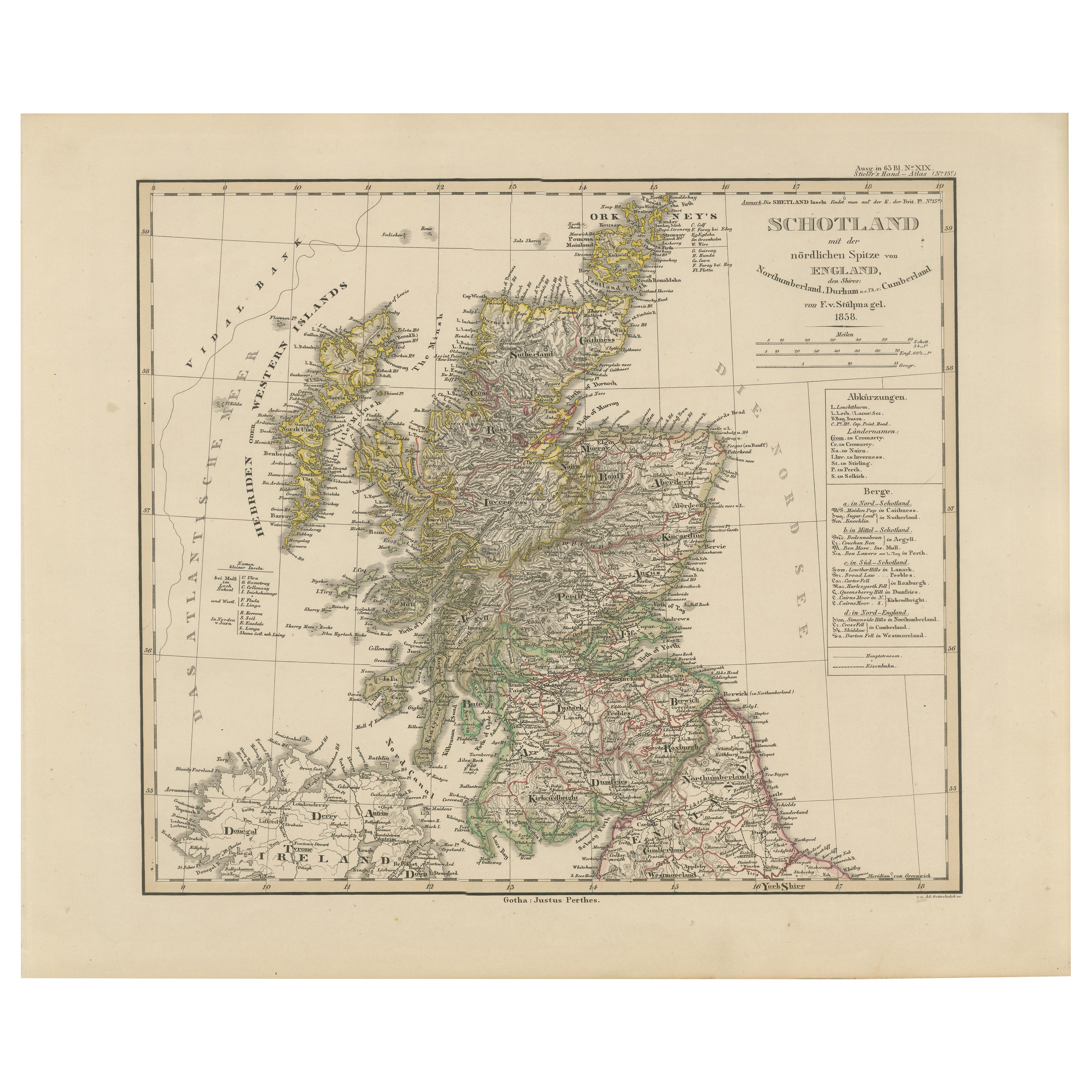
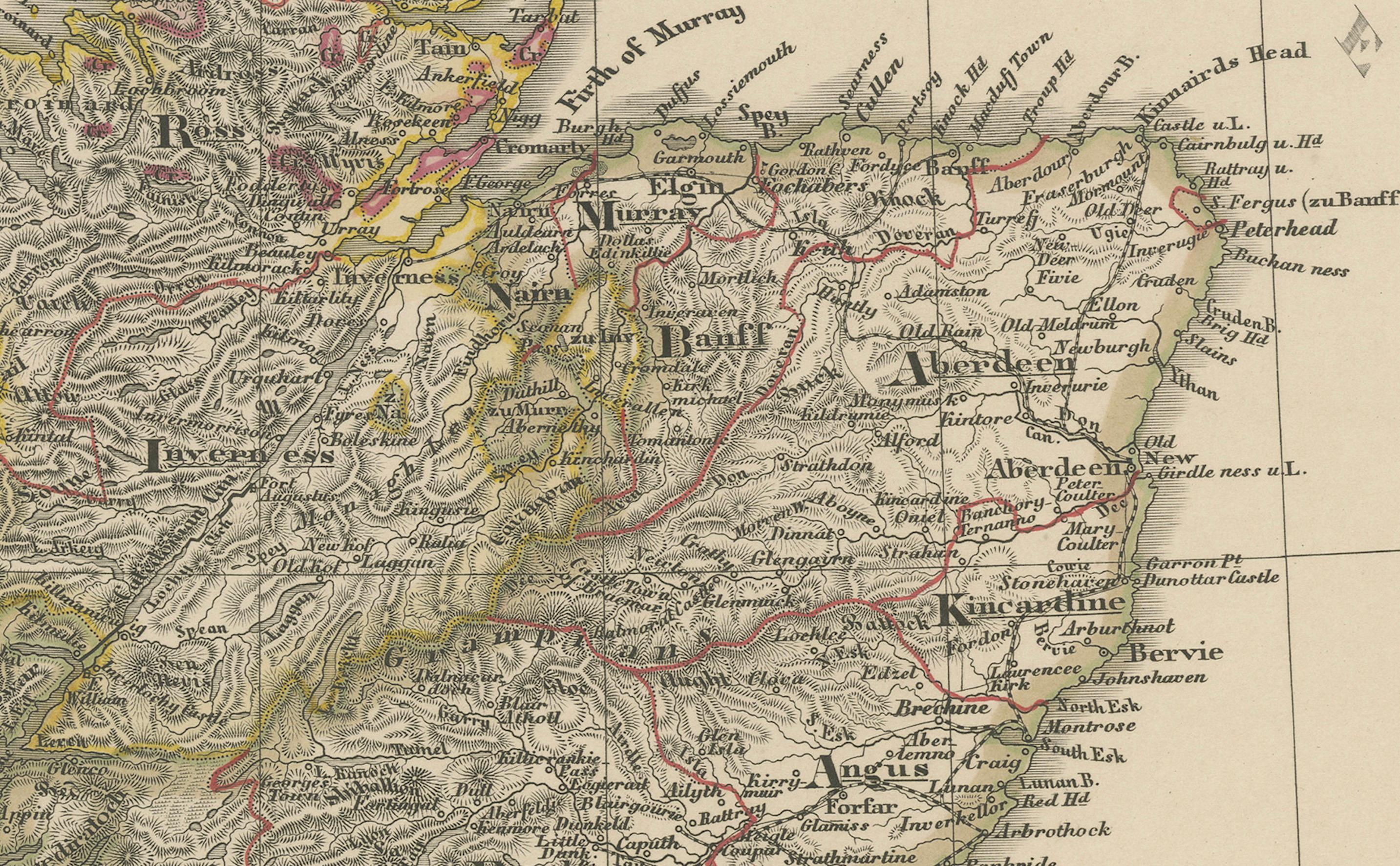
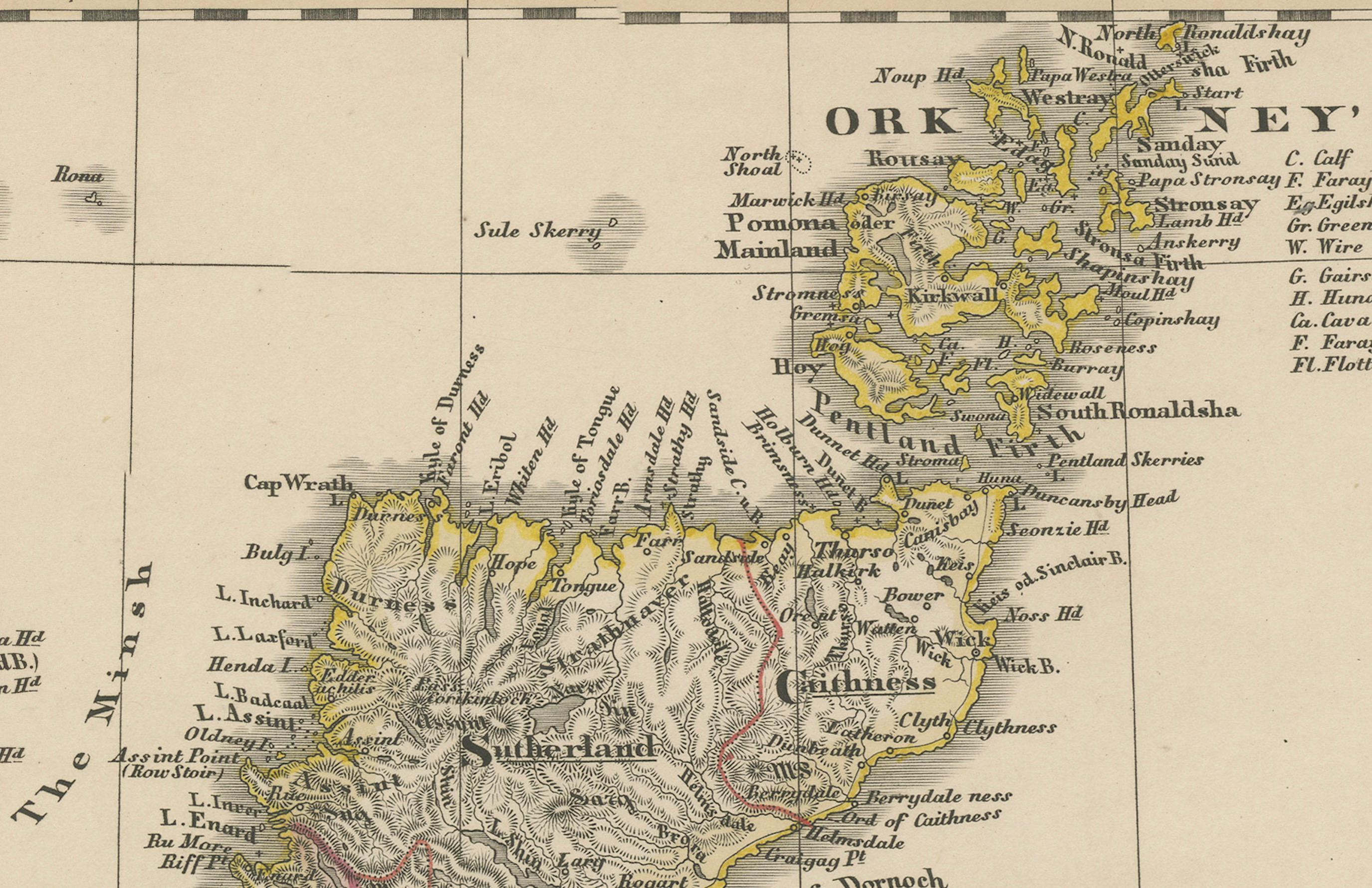
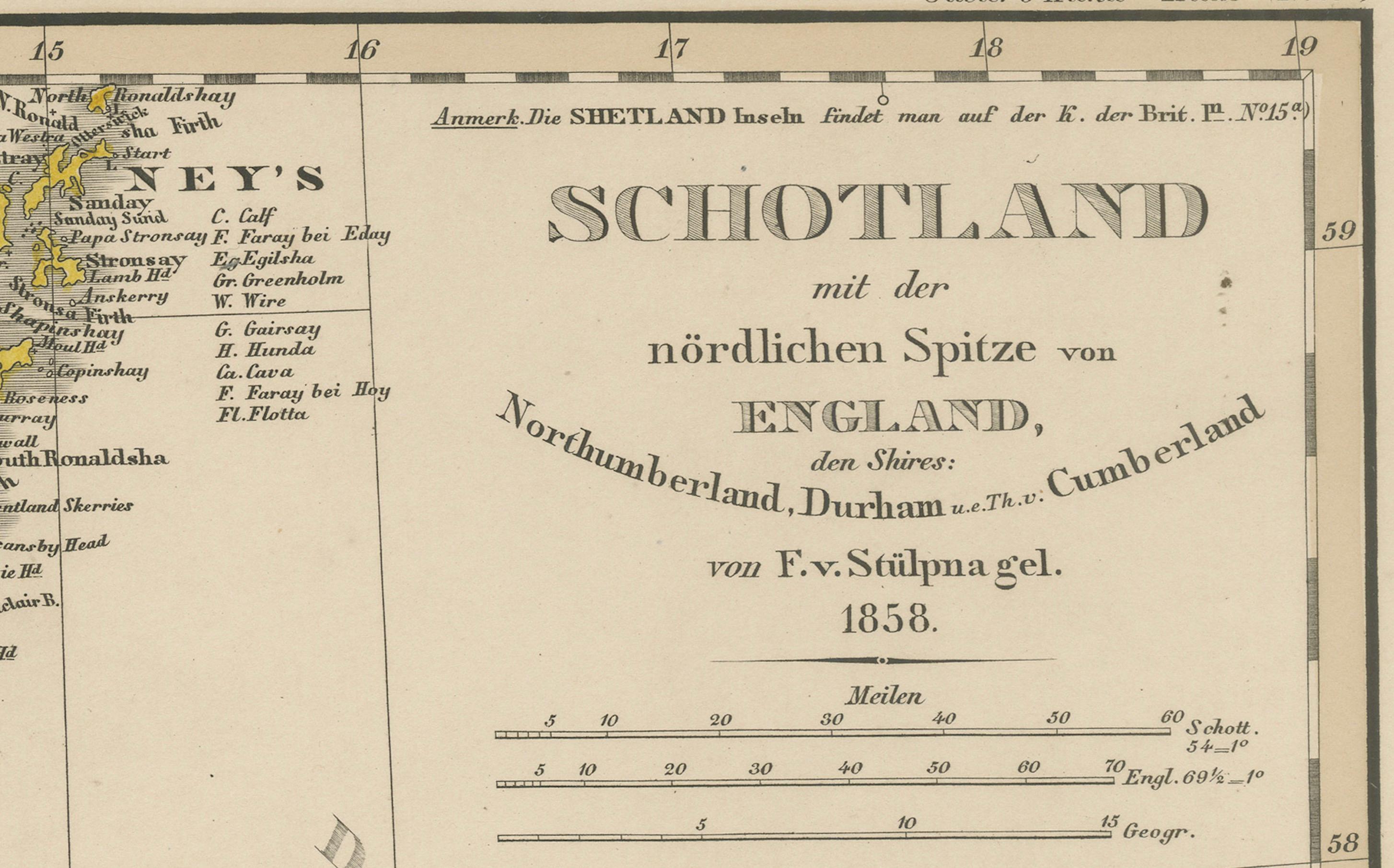
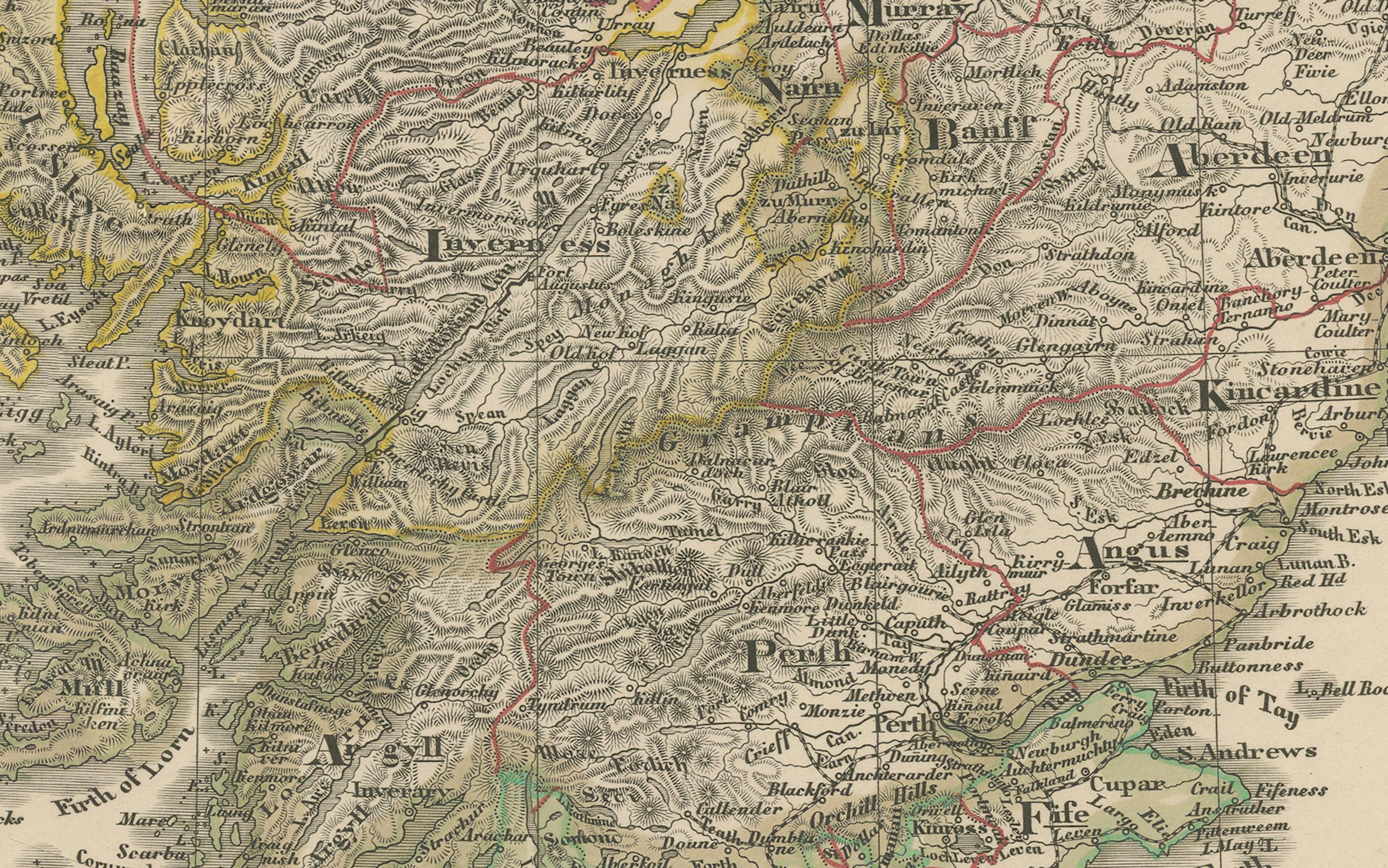
This attractive antique print shows Scotland and its surroundings titled “Schotland mit der nördlichen Spitze von England” meaning “Scotland with the northern tip of England.” Published in 1858 by Justus Perthes in Gotha as part of Adolf Stieler’s renowned Hand-Atlas, the map was created by cartographer F. v. Stülpnagel. It provides detailed topographical and political information, including major towns, roads, rivers, and mountain ranges.
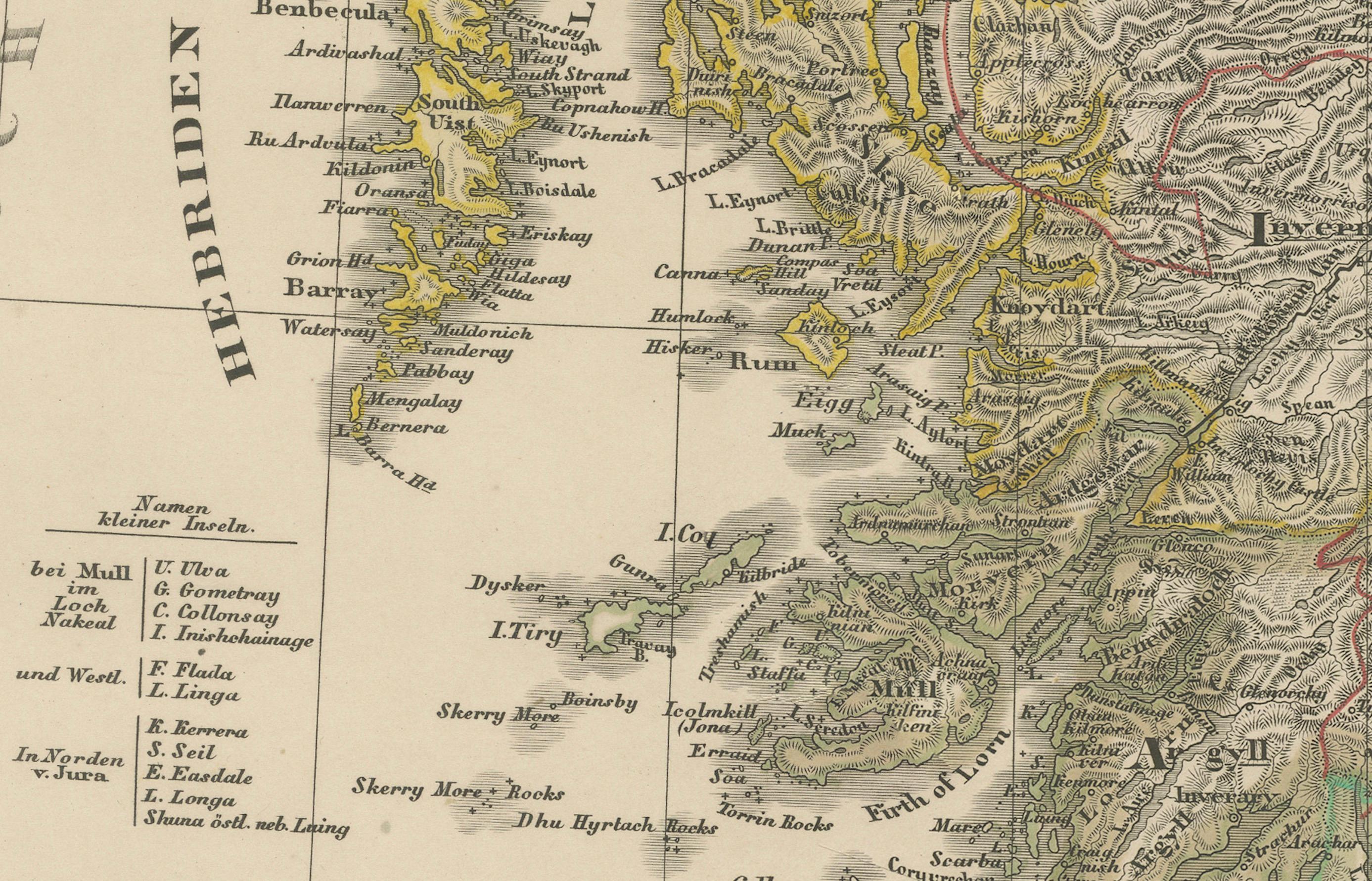
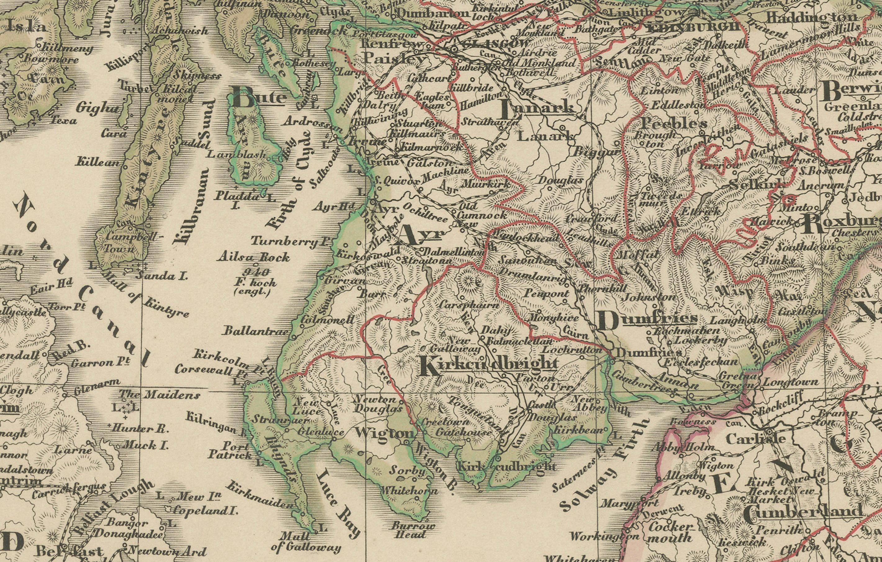
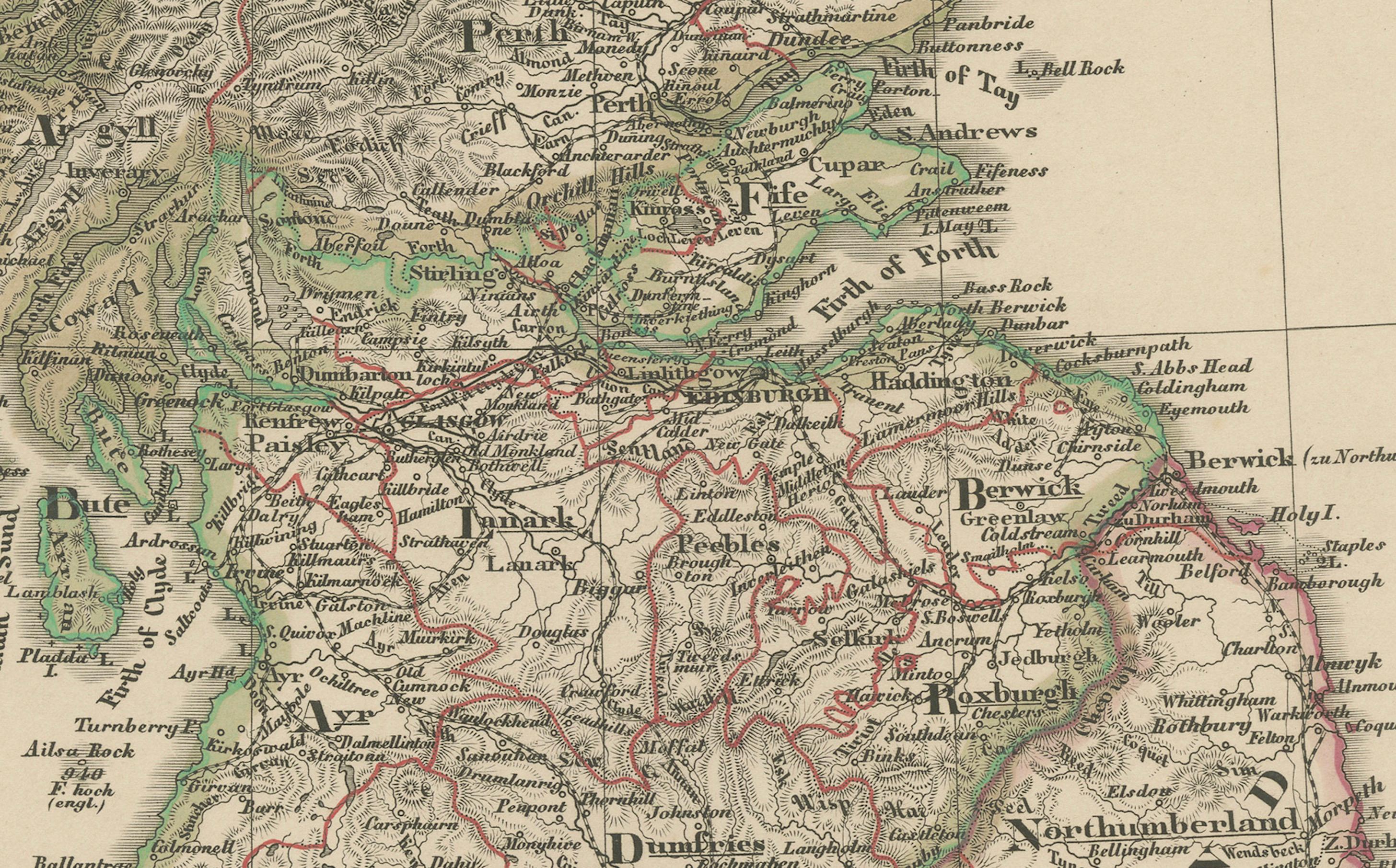
The map covers the entire country from the Borders through the Central Lowlands up to the Highlands, including the Hebrides (Western Isles) and Orkney Islands. It also extends into northern England, showing Northumberland, Durham, and Cumberland. Important towns such as Edinburgh, Glasgow, Aberdeen, Inverness, and Dundee are labelled clearly, as are significant geographical features like Loch Ness, Ben Nevis, and the Grampian Mountains.
This map is significant as it reflects mid-19th-century Scotland just before the major industrial expansions of the later Victorian period, capturing historical county boundaries, transportation routes, and settlements as they existed in 1858. It is of interest to collectors for its fine engraving and to historians for its depiction of Scotland during an era of social and economic transformation.
Technique: Copperplate engraving with original hand colouring used to outline counties and territories in subtle yet clear hues. German titles and detailed annotations are engraved with precision.
Condition summary: Excellent condition with minimal toning, no tears, repairs, or significant foxing. Colours remain vivid and paper is strong and stable.
Framing tips: This detailed map of Scotland will look distinguished in a dark wood or black frame to highlight its fine cartographic detail. Pair with a wide ivory or cream mount to balance its historical and decorative presentation. UV-protective glass is recommended to preserve the clarity of the engraving and original colouring for long-term display.