About this sheet
Antique Maps of the Ottoman Empire – Europe and Asia by Andriveau-Goujon, circa 1865
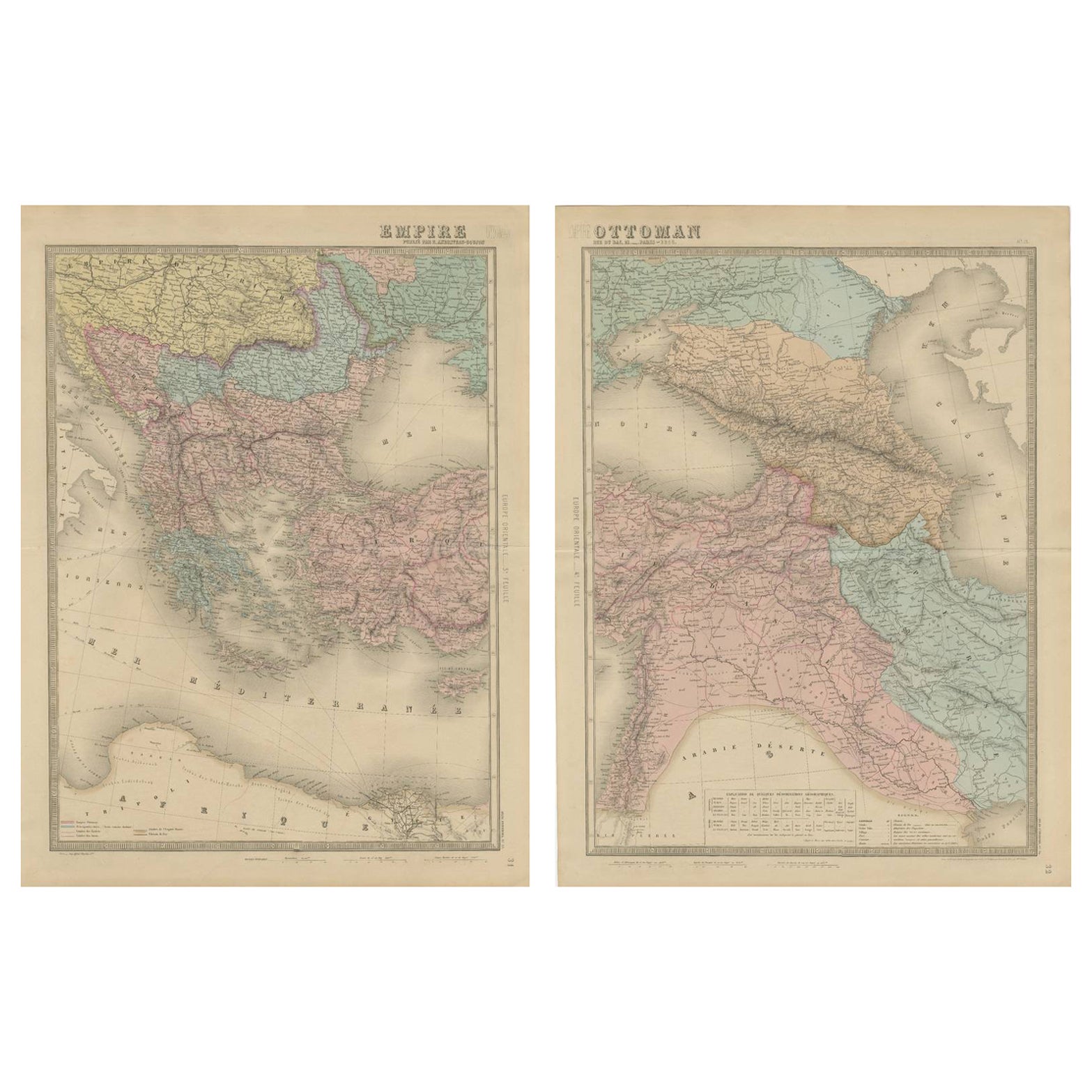


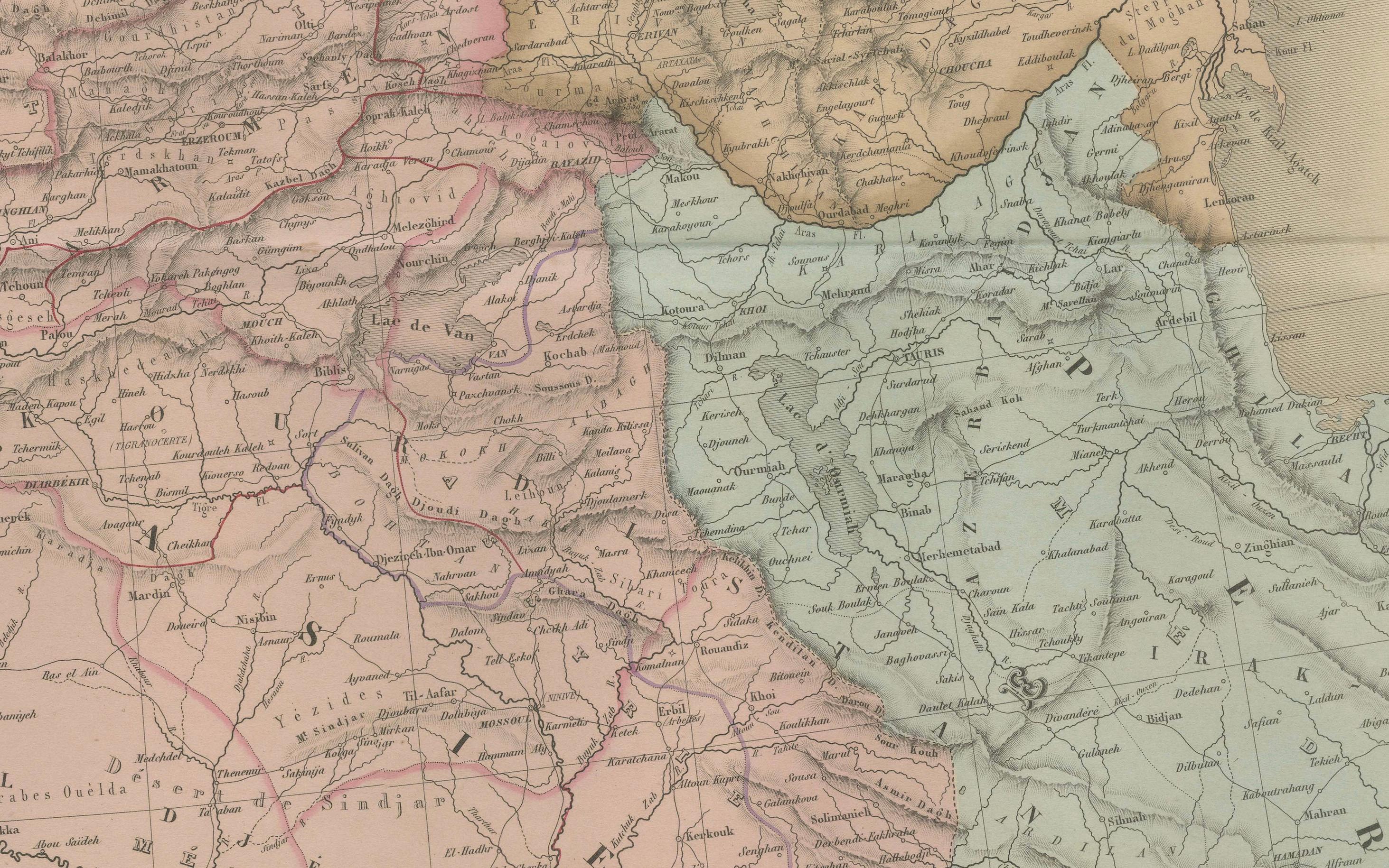
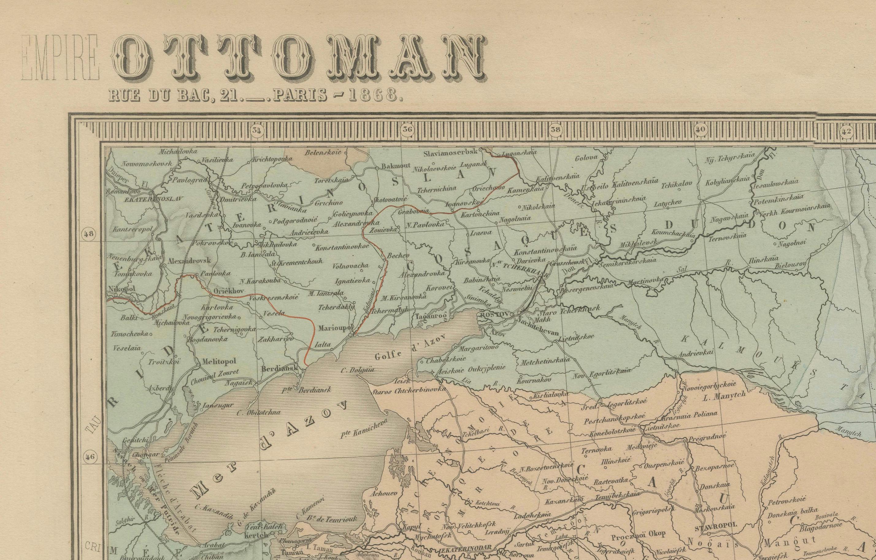
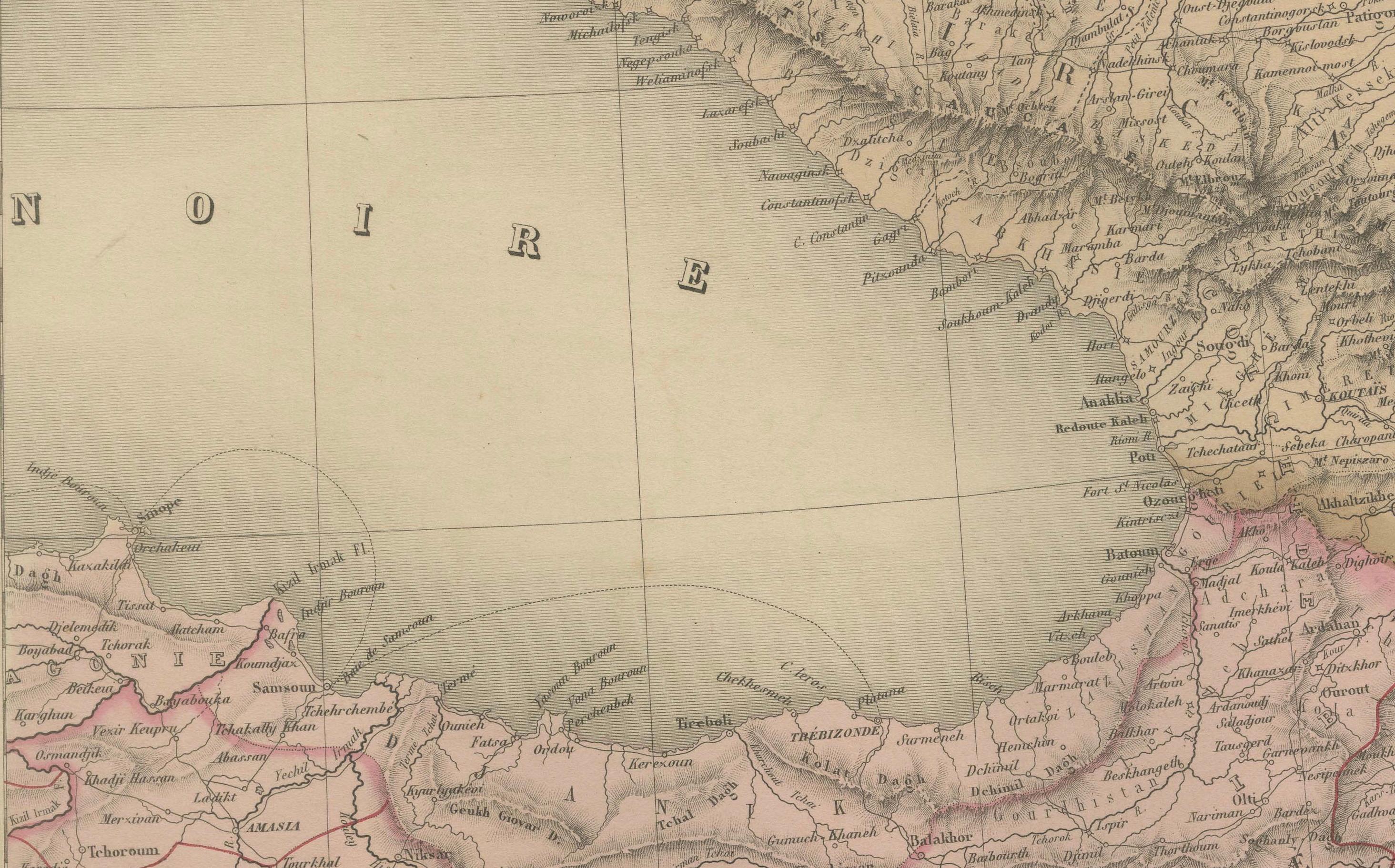
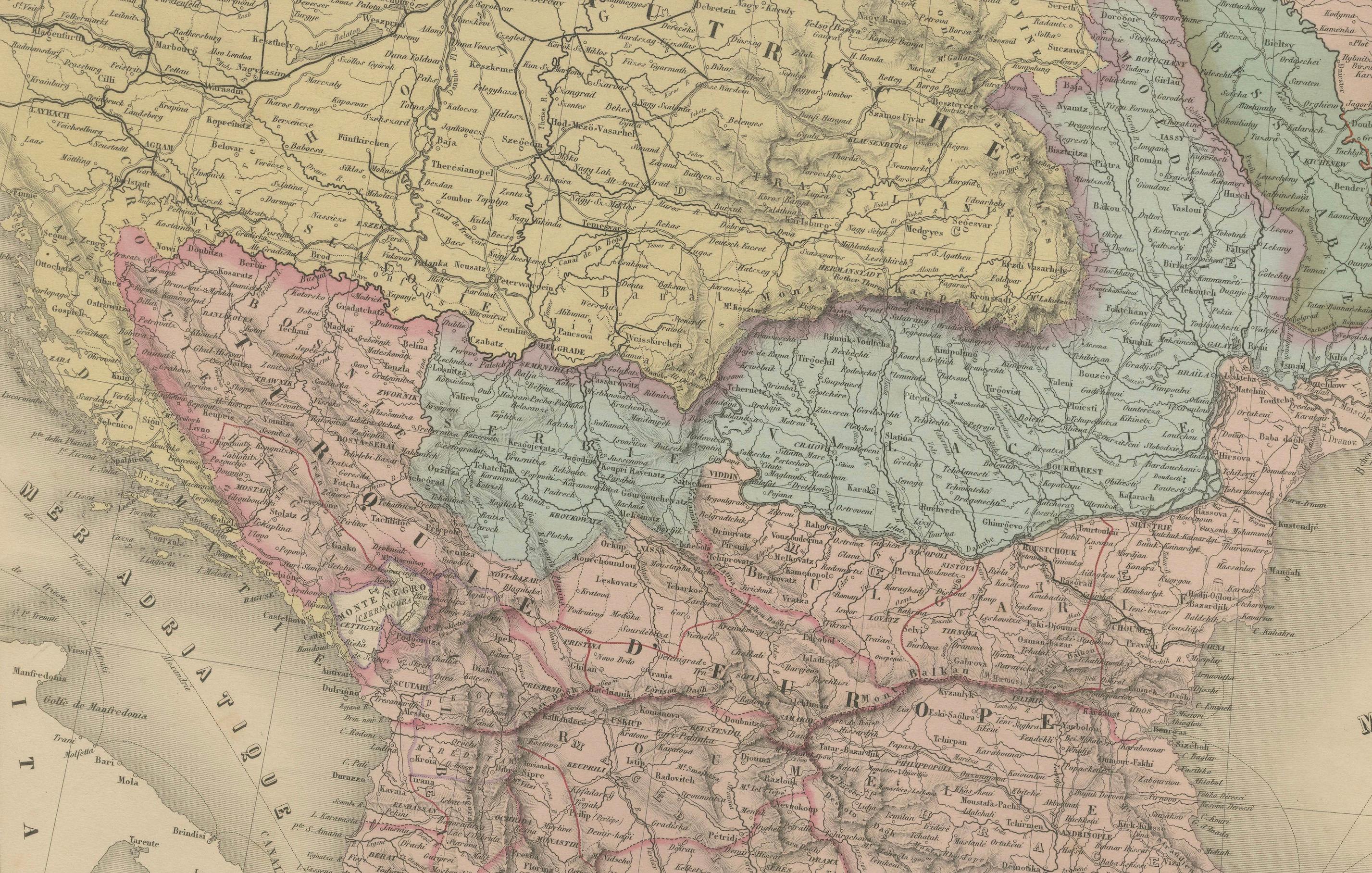
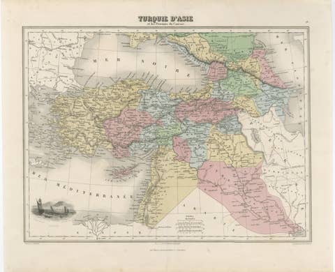
This finely engraved and hand-colored two-sheet map of the Ottoman Empire was published in Paris by E. Andriveau-Goujon in the 1860s. Titled simply “Empire Ottoman,” it presents the full territorial extent of the Ottoman domains across both Europe and Asia, divided across two joined plates from the Atlas Universel series: one sheet covering the European provinces (Empire Ottoman en Europe), and the other focused on the Asian provinces (Empire Ottoman en Asie).
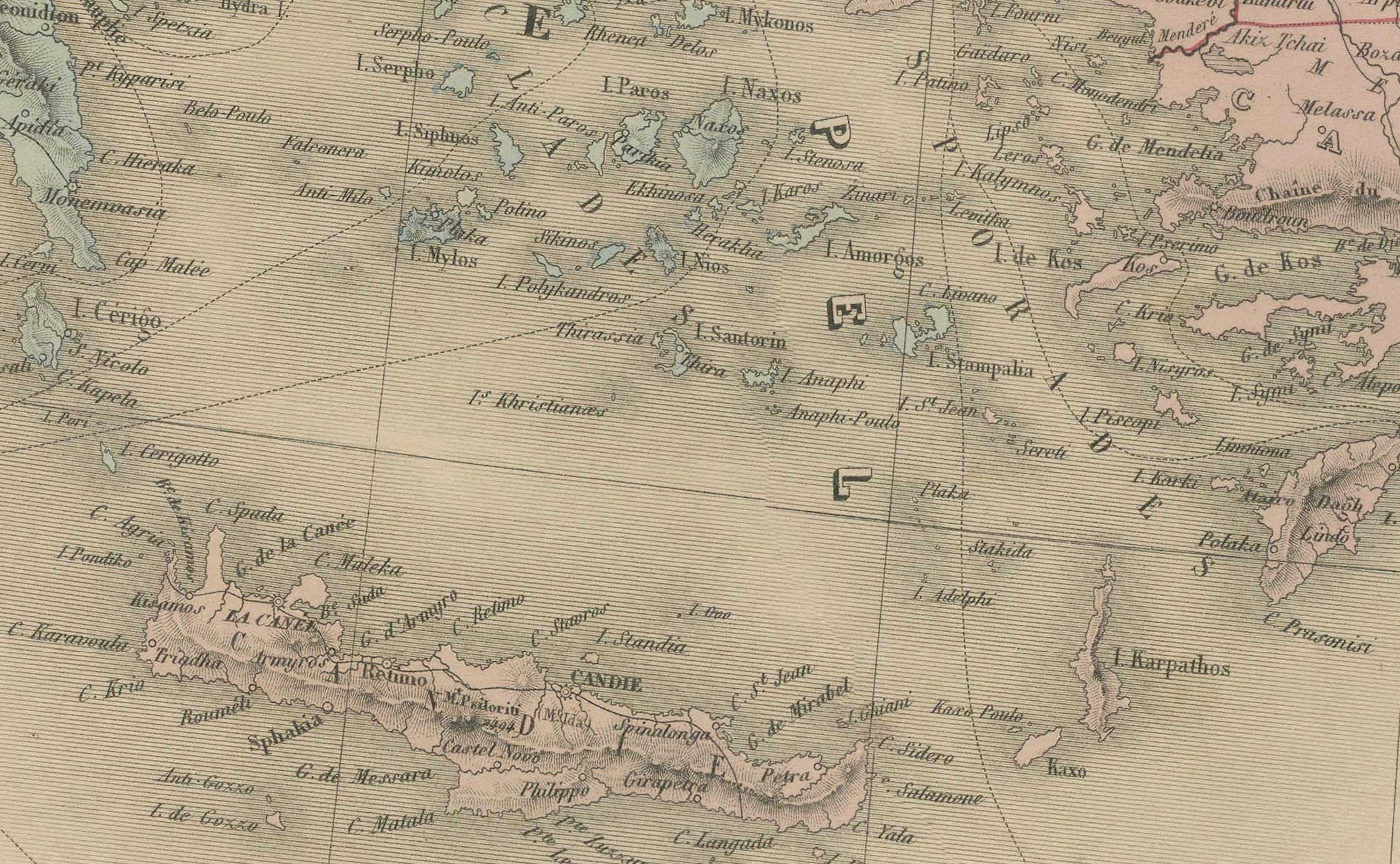
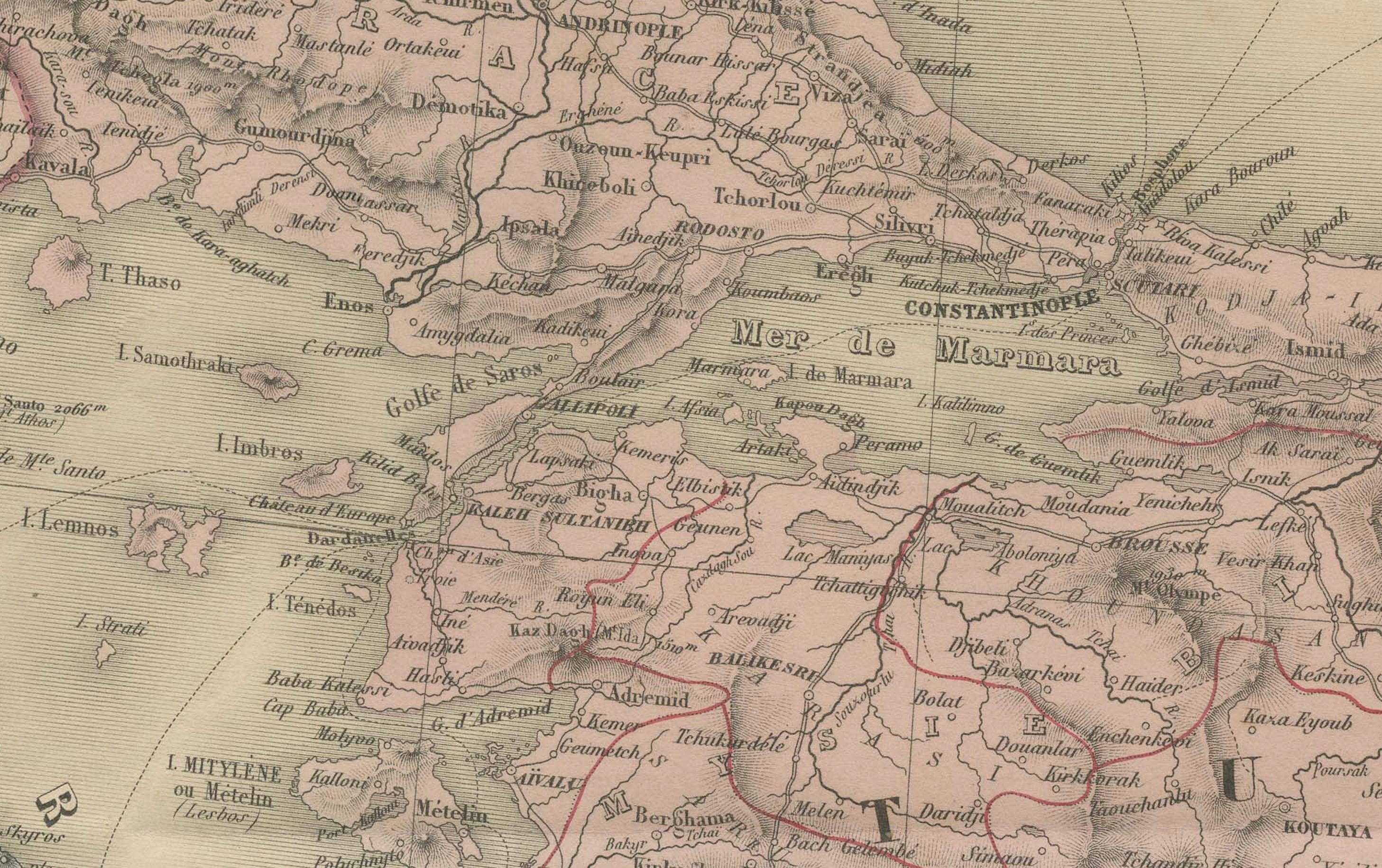
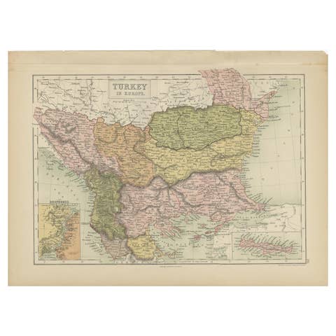
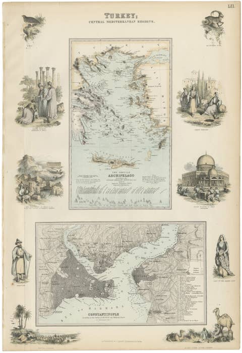
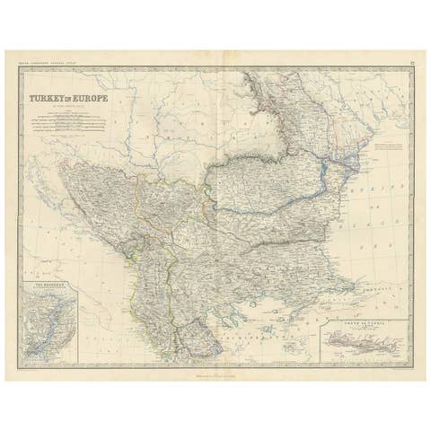
The left sheet illustrates Ottoman Europe, including present-day Greece, Bulgaria, Albania, Macedonia, Serbia, Bosnia, and parts of Romania and Turkey-in-Europe. Major cities like Constantinople, Thessaloniki, Adrianople, and Belgrade are clearly marked, along with dense networks of roads, rivers, and mountain ranges. The Aegean islands and parts of the eastern Mediterranean, including Crete and Cyprus, are included in fine detail.
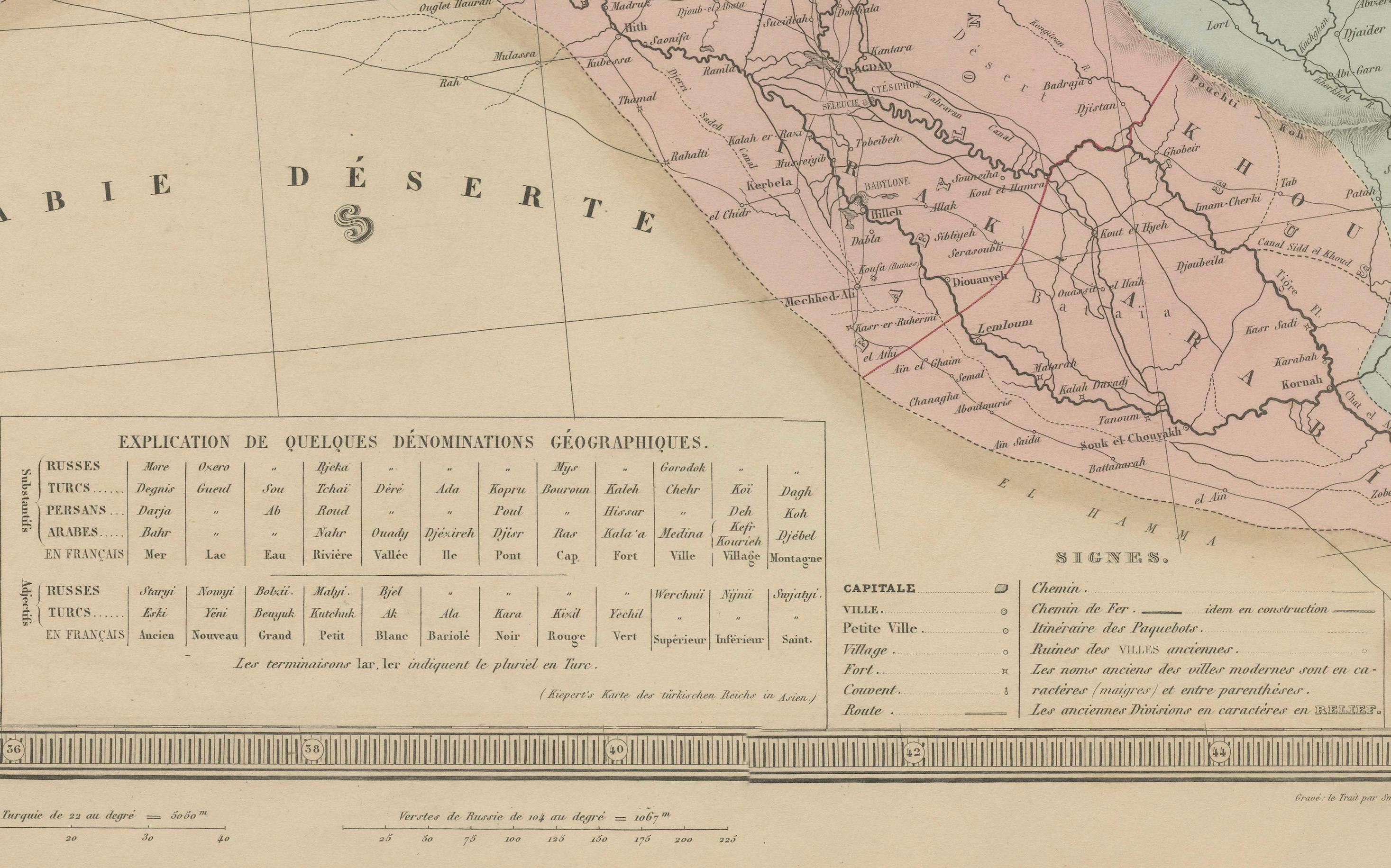
The right-hand sheet maps the Asian part of the empire, extending from Anatolia across the Levant, Mesopotamia, and into the fringes of Arabia and Persia. It includes regions corresponding to modern-day Turkey, Syria, Lebanon, Israel, Palestine, Iraq, and parts of Armenia and Georgia. Notable cities such as Aleppo, Damascus, Baghdad, Mosul, and Smyrna (Izmir) are all labeled. The map includes a boxed legend at the bottom showing administrative divisions of the empire, such as vilayets (provinces), sanjaks (districts), and key fortified cities.
Color coding separates administrative boundaries while retaining the pastel elegance typical of mid-19th century French cartography. These two sheets offer an unusually complete view of the Ottoman Empire’s reach during its final century of existence and provide valuable insight into the political geography of the Eastern Mediterranean before the sweeping changes of the late 19th and early 20th centuries.
Condition: Very good condition. Original centerfolds as issued. Slight age toning and minor marginal spotting. Clean impressions with strong original hand coloring. Plates numbered 32 and 33.
Framing tips: These two sheets may be displayed side by side or joined and framed as a single composition. Use a wide ivory mat and a dark wood or antique gold frame. A muted red or sage green inner mat can complement the Ottoman palette.
Technique: Engraving with original hand coloring
Maker: E. Andriveau-Goujon, Paris, circa 1860s