About this sheet
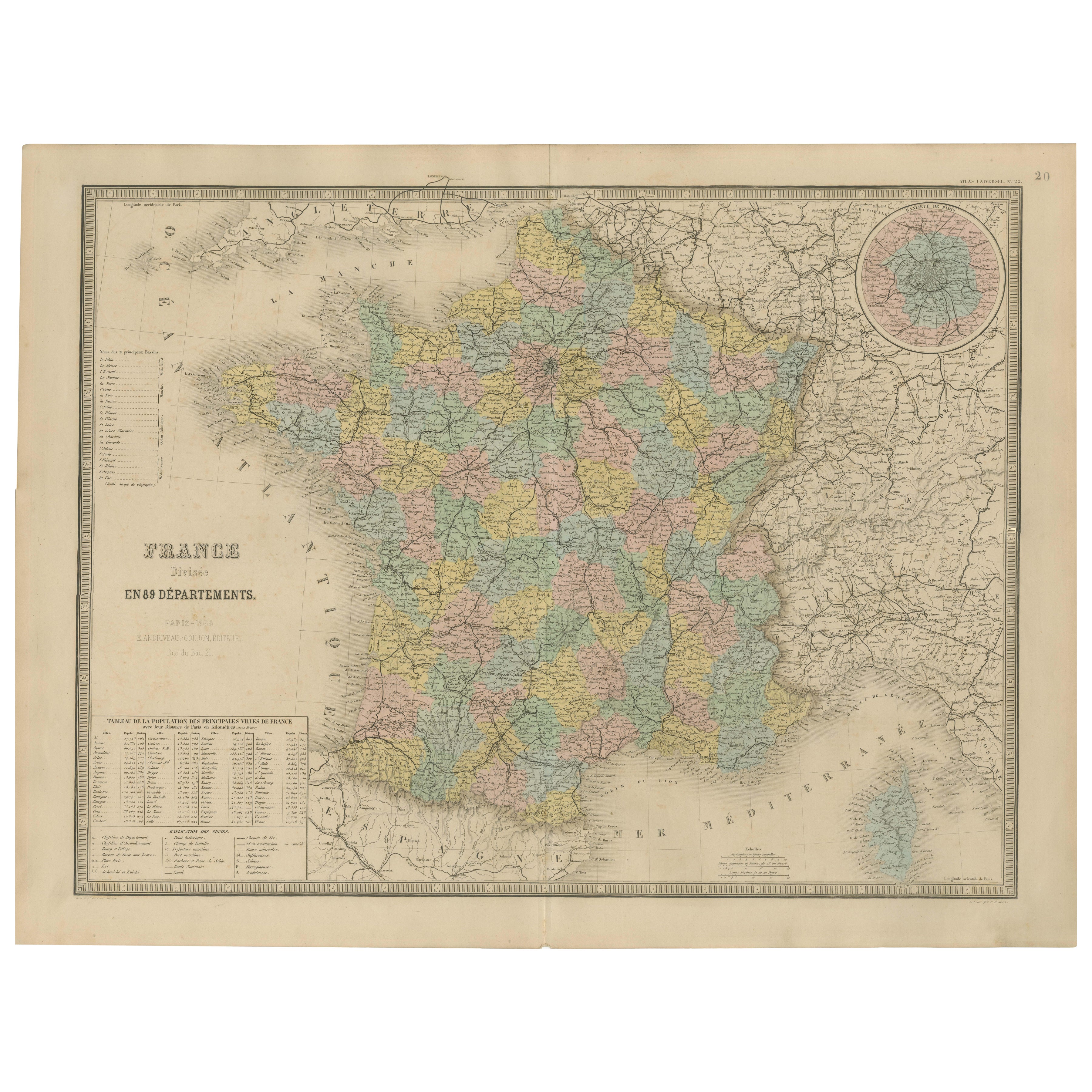
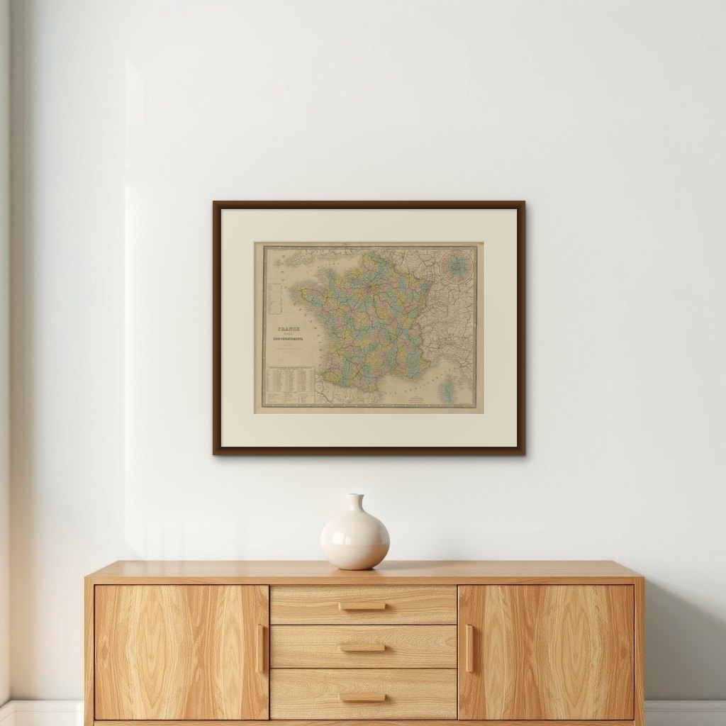
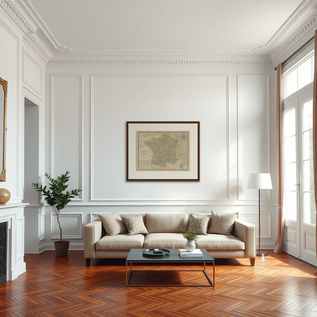
Antique Map of France – Divided into 89 Departments by Andriveau-Goujon, 1861
This finely engraved and beautifully hand-colored map titled “France divisée en 89 Départements” was published in Paris in 1861 by E. Andriveau-Goujon. It presents an elegant and detailed administrative view of France during the Second Empire under Napoleon III, showing the country fully divided into its 89 departments, a system first introduced during the French Revolution.
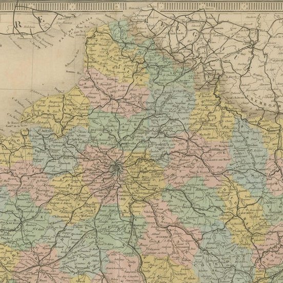
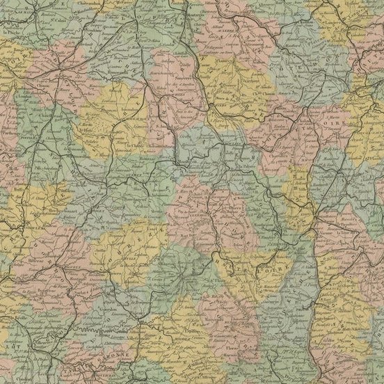
Each department is clearly delineated with its own color, making the internal borders immediately legible. Cities, towns, rivers, and major transport routes are all precisely engraved, offering a comprehensive view of the infrastructure and geography of France in the mid-19th century. Paris is marked prominently, and a circular inset in the upper right corner provides an enlarged view of the Paris metropolitan area, revealing the intricate network of roads and surrounding communes.
To the lower left, a printed table titled “Tableau de la Population des Principales Villes de France” lists the largest cities in the country, ranked by population. This includes Paris, Lyon, Marseille, Bordeaux, Toulouse, Nantes, and others — providing valuable historical demographic data for the era.
Borders with Belgium, Germany, Switzerland, Italy, and Spain are also shown with clarity, giving the map both domestic and international context. Longitude is measured from the Paris meridian.
The map is engraved with fine precision and finished with pastel hand coloring that brings out the administrative divisions without overwhelming the eye. It is framed by a decorative border typical of Andriveau-Goujon’s Atlas Universel, plate number 20 appearing in the top right.
This is an ideal piece for collectors of antique French cartography, educators, or anyone with an interest in the administrative history of France. Its balance of aesthetic appeal and historical depth makes it suitable for both display and reference.
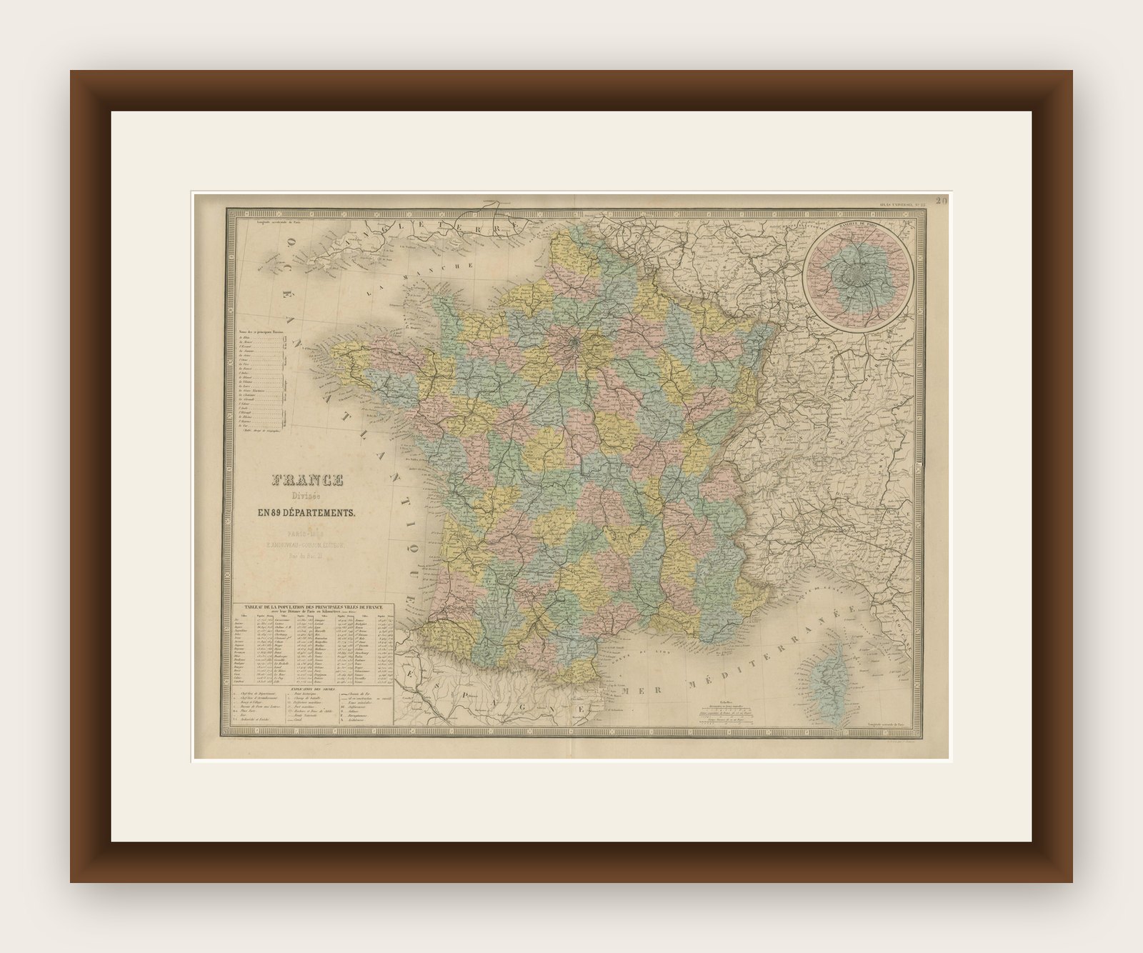
Framing tips: Best paired with a gold or dark wood frame and an ivory or cream mat to complement the pastel colors. A secondary red or blue inner mat can be used to highlight the inset of Paris.