Northern Hemisphere Star Map – Constellations & Astronomical Chart, c.1858
€ 440
Original antique · The actual sheet photographed · Certificate of authenticity on request · Sold unframed · Worldwide shipping from € 15 (rates)
Date
1858
Technique
Copperplate engraving with original hand coloring, used here to highlight stars in yellow and constellation illustrations in pale blue for clarity
Sheet size
45.4 × 37.5 cm (17.9 × 14.8 in)
Condition
Good
Reference
BG-05552-4
What the condition grades mean
Excellent
Bright and clean, with no faults worth mentioning.
Very good
Only light signs of age, such as faint toning.
Good
Normal signs of age for a sheet of this period: toning, some foxing, small marks or neat old repairs.
Fair
Clear faults such as staining, tears or repairs, priced to match.
Every fault we see is written in the condition note, and the whole sheet is shown uncropped in the photos.
Condition
Condition summary: Excellent condition with strong impression, minimal toning, and no tears or repairs noted. Colors remain vivid. Paper is firm with only minor age-related signs near margins.
About this sheet
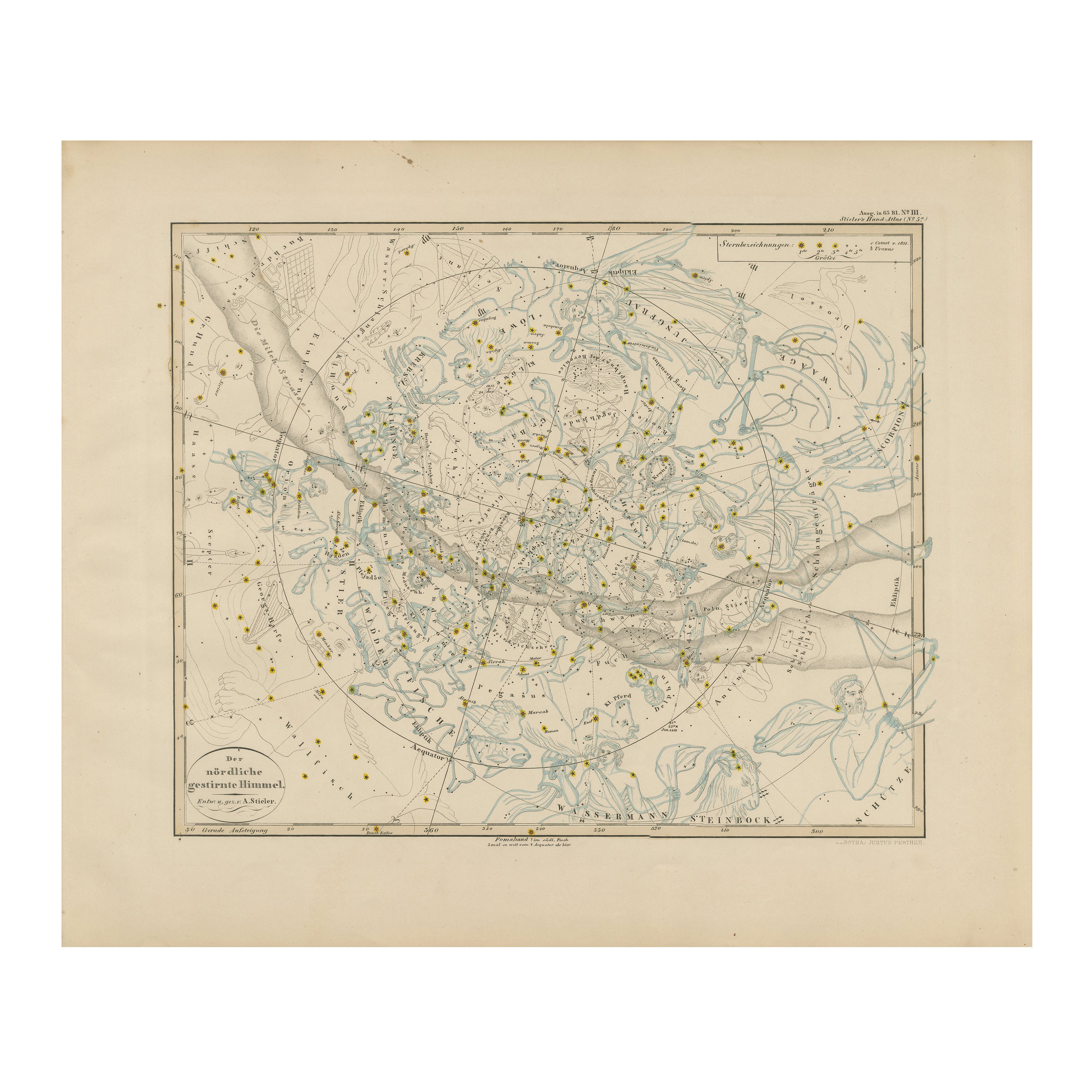
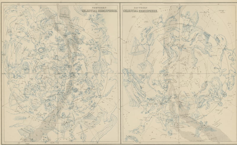
Northern Hemisphere Star Map – Constellations & Astronomical Chart c.1858
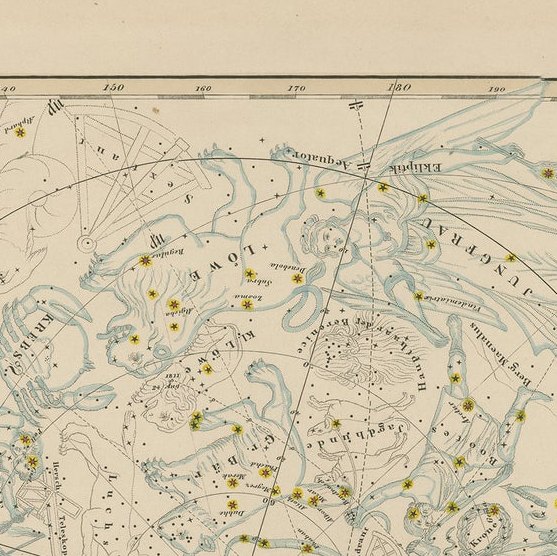
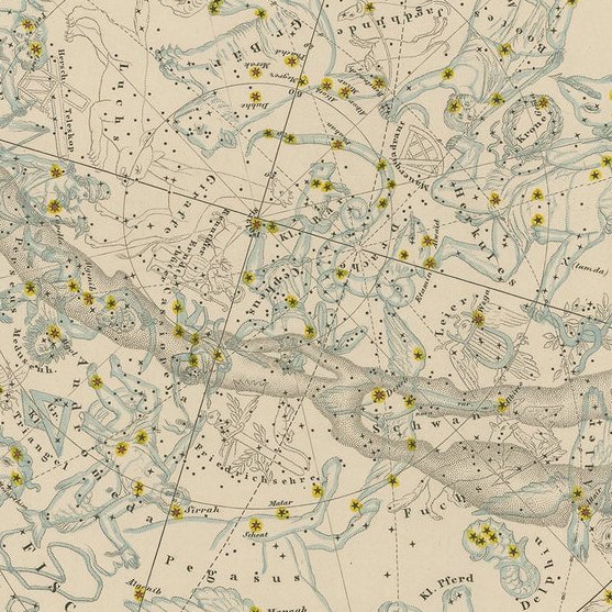
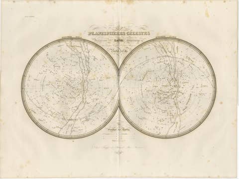
This attractive antique print shows the northern starry sky titled “Der nördliche gestirnte Himmel”, meaning “The Northern Starry Sky”. The map presents a detailed celestial chart with constellations finely engraved and illustrated with classical figures such as Pegasus, Andromeda, Hercules, and Orion. The Milky Way is shown as a shaded band crossing the chart, with star positions marked in yellow and constellation lines neatly overlaid in blue.
Published around 1858 by Justus Perthes in Gotha as part of Adolf Stieler’s renowned Hand-Atlas, this chart was engraved by skilled cartographers under the editorial supervision of Heinrich Berghaus. Stieler’s Hand-Atlas is celebrated for its precision and clarity, and its astronomical plates were used for education, navigation, and scientific reference throughout Europe.
This star map is significant as it reflects mid-19th-century astronomical knowledge and artistry, combining scientific accuracy with decorative engraving. It allowed users to identify stars and constellations visible in the northern hemisphere at various times of year, and the depiction of mythological figures enhanced understanding of classical celestial cartography traditions.
Condition summary: Excellent condition with strong impression, minimal toning, and no tears or repairs noted. Colors remain vivid. Paper is firm with only minor age-related signs near margins.
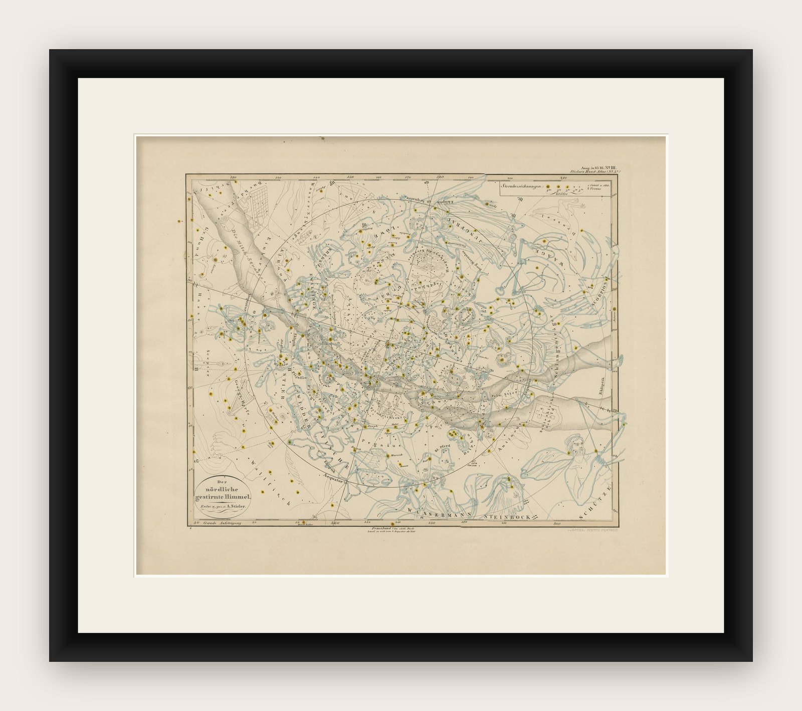
Framing tips: This celestial chart will look stunning in a black or dark wood frame to accentuate the delicate blue engravings and yellow star highlights. A wide white or cream mount will enhance contrast and draw attention to its intricate detail. UV-protective glass is recommended to preserve color clarity and prevent fading over time.