About this sheet
Antique Map of India, Persia & Afghanistan – Andriveau-Goujon, Paris 1864
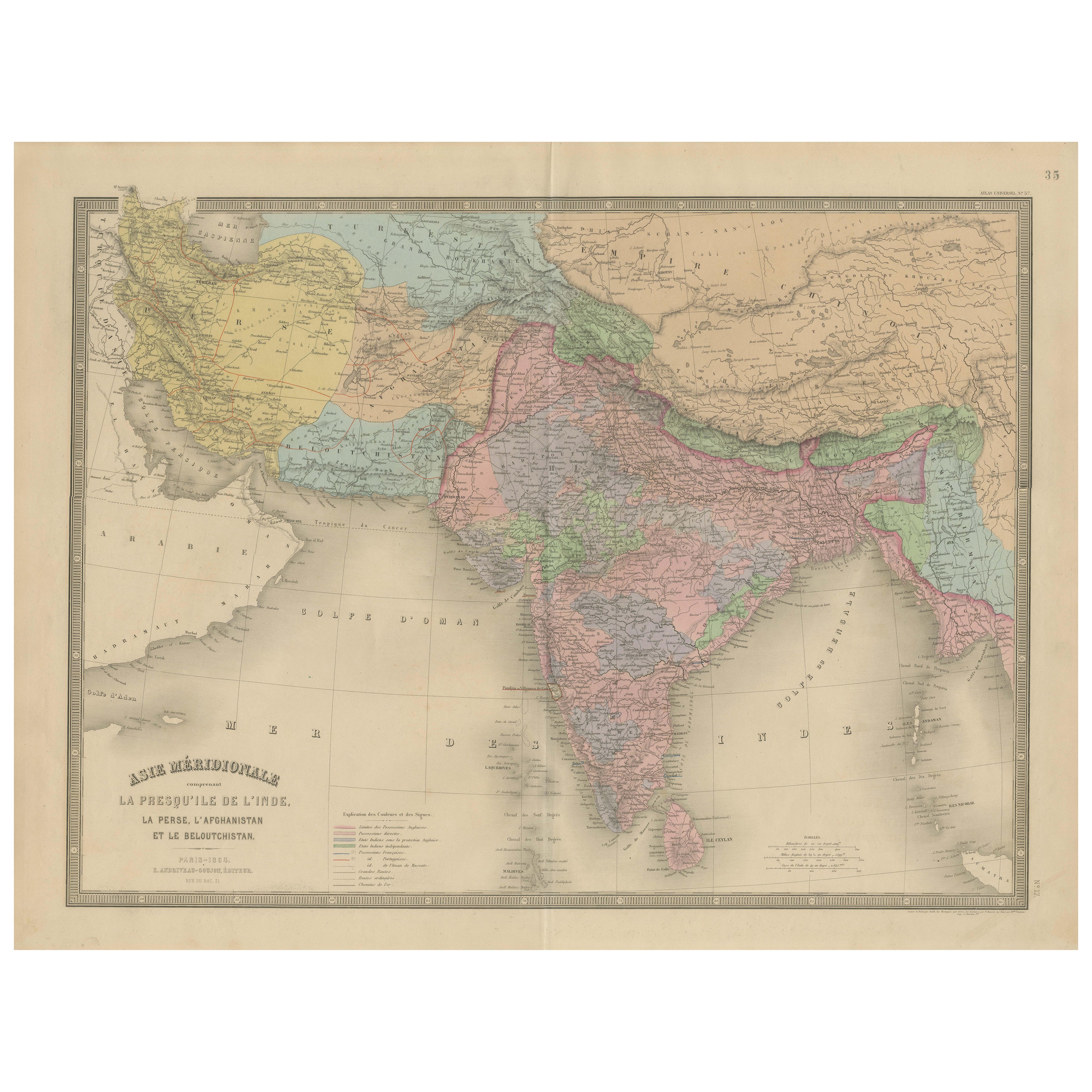
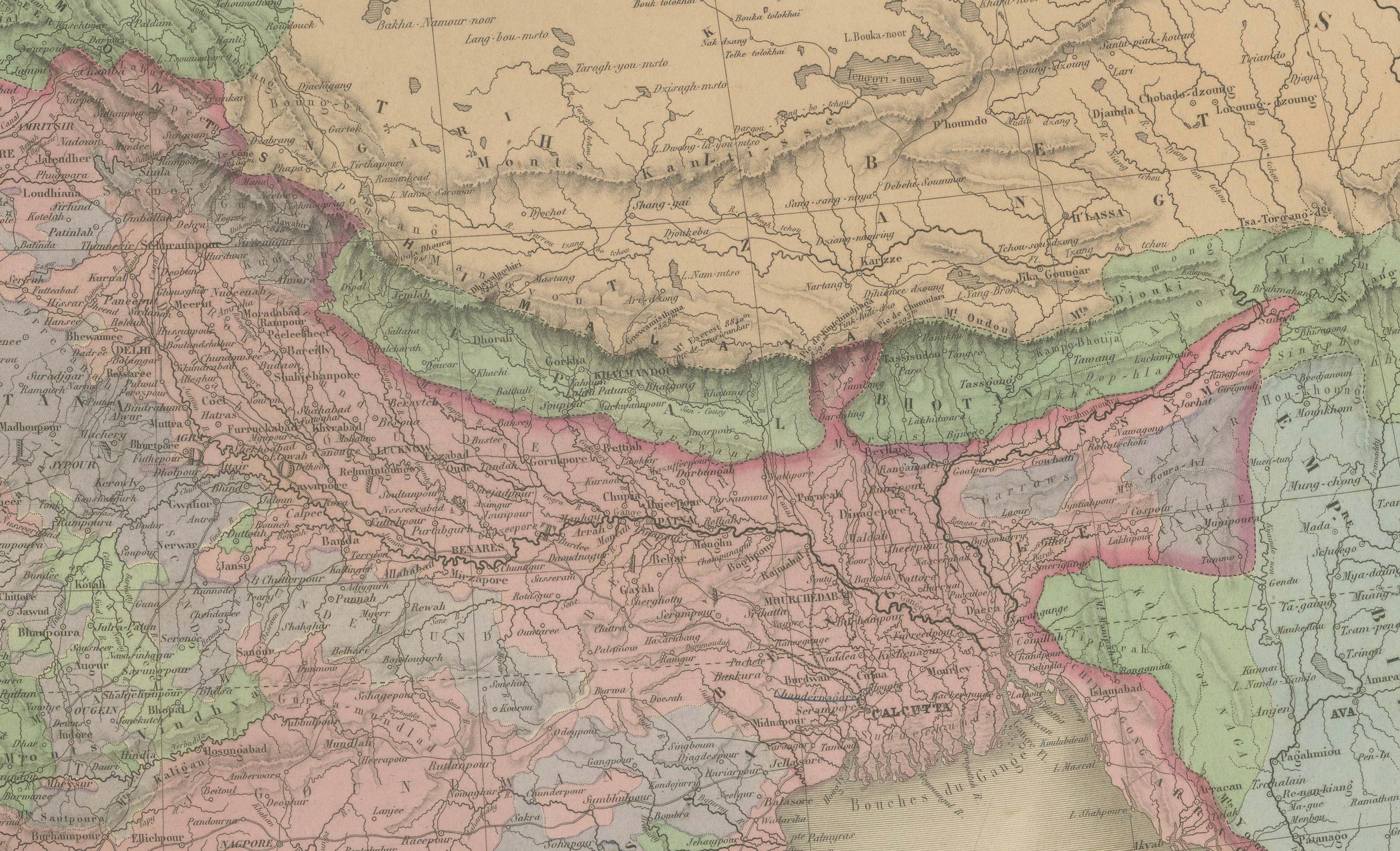
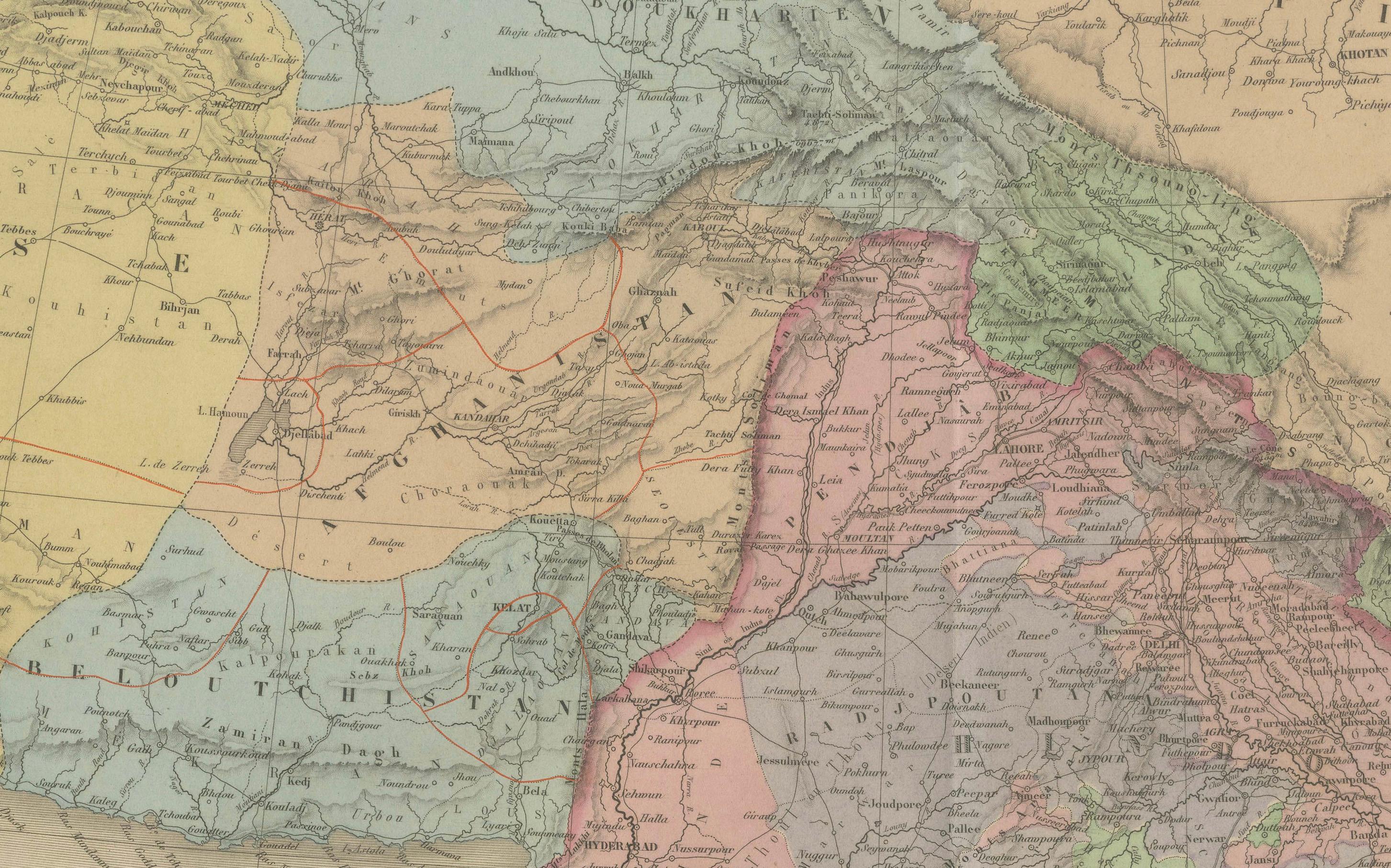
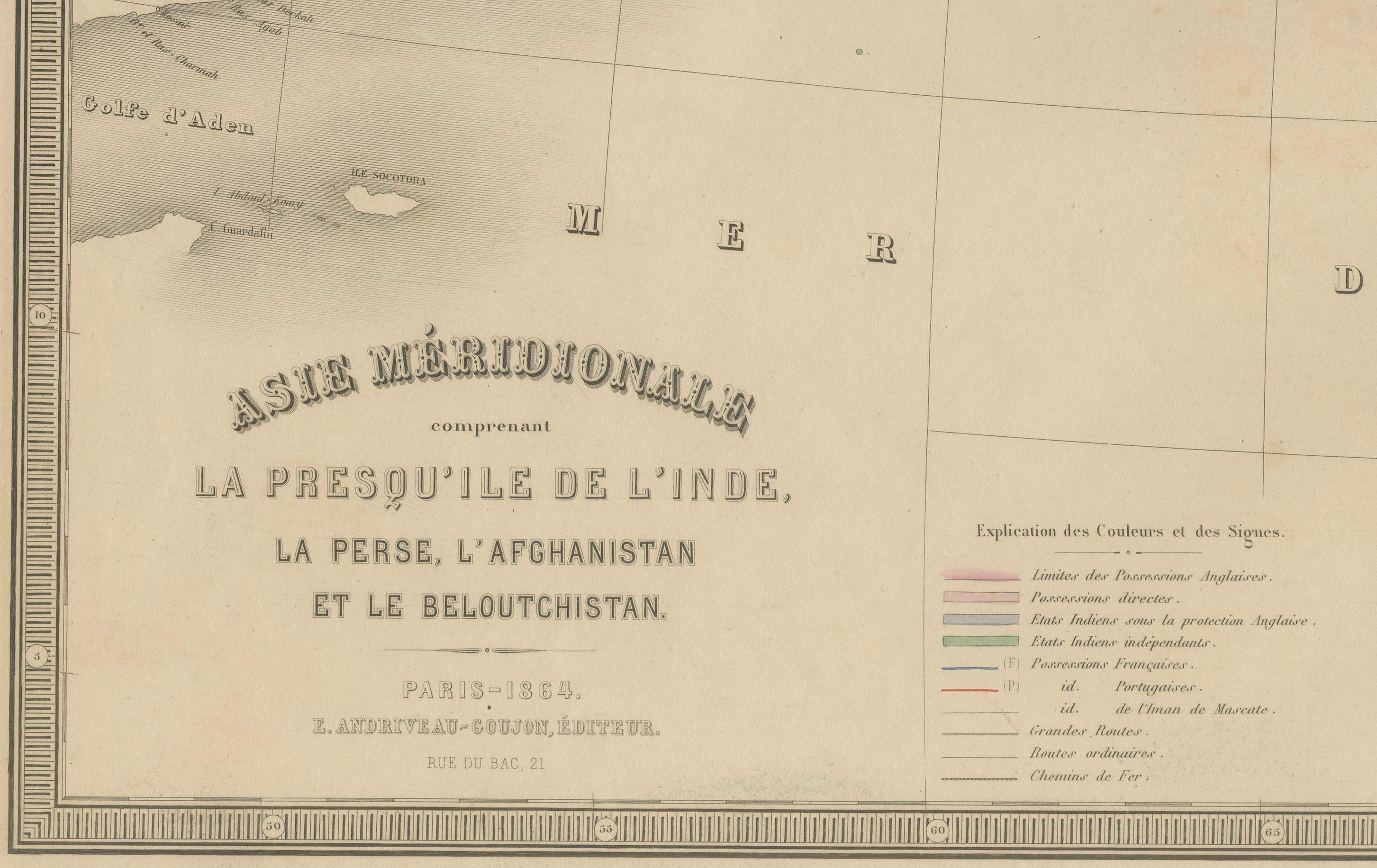
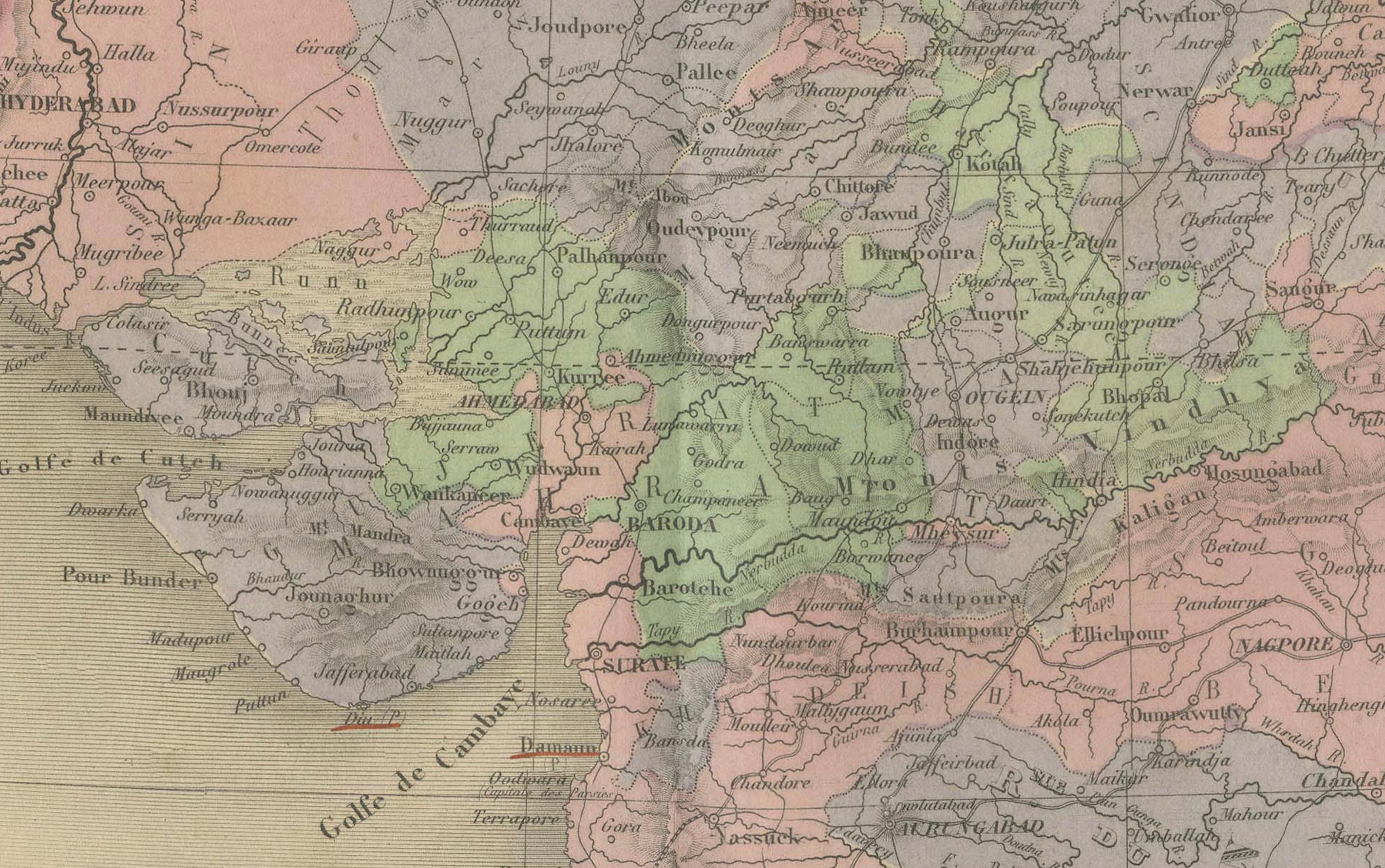
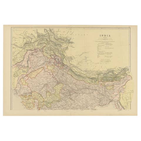
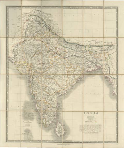
This detailed 19th-century map titled “Asie Méridionale comprenant la Presqu'île de l'Inde, la Perse, l'Afghanistan et le Beloutchistan” was published in Paris in 1864 by the renowned cartographer E. Andriveau-Goujon. Issued as plate number 35 in the Atlas Universel, it offers a comprehensive depiction of Southern Asia, covering the Indian subcontinent as well as the adjoining regions of Persia (Iran), Afghanistan, and Baluchistan.
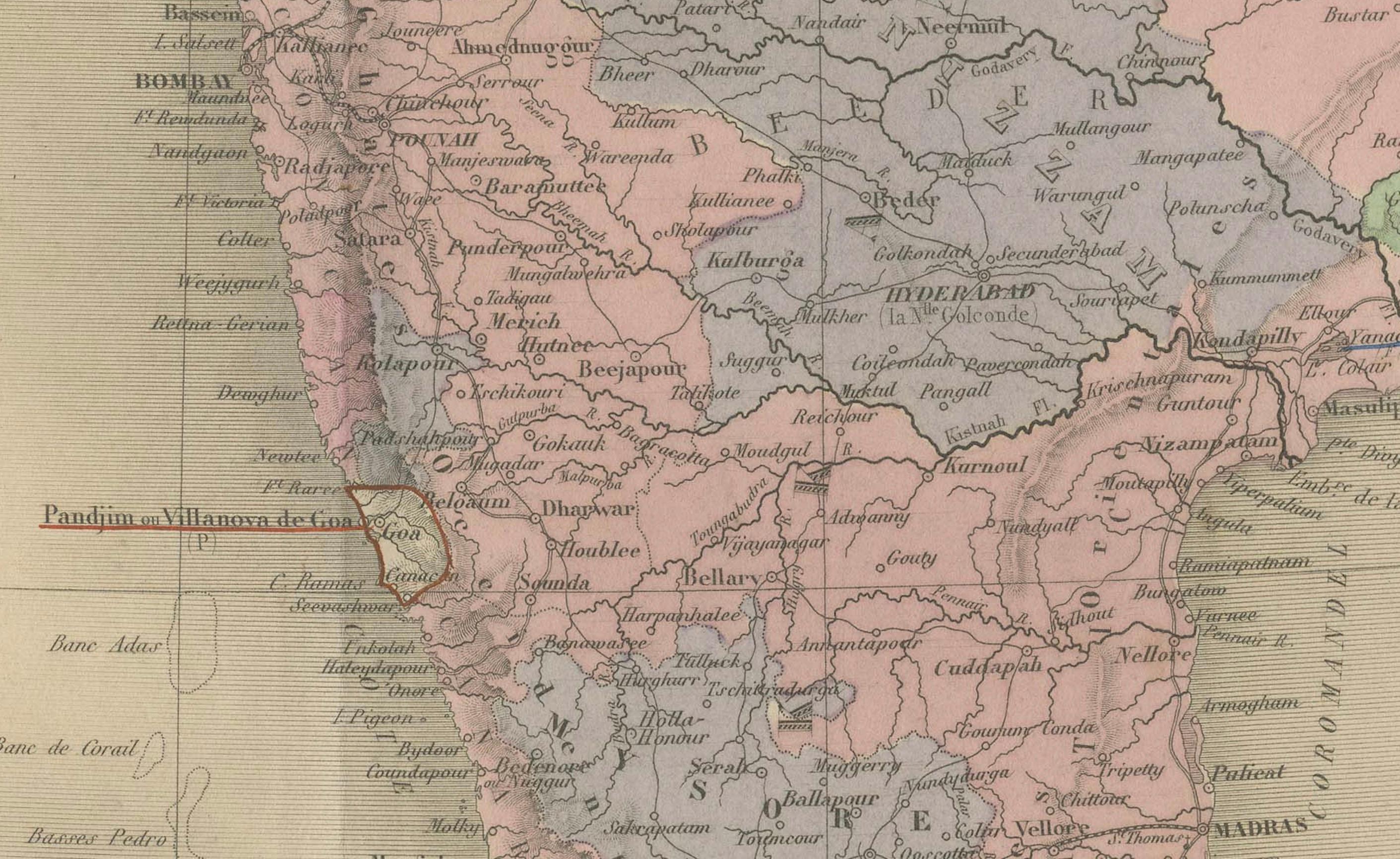
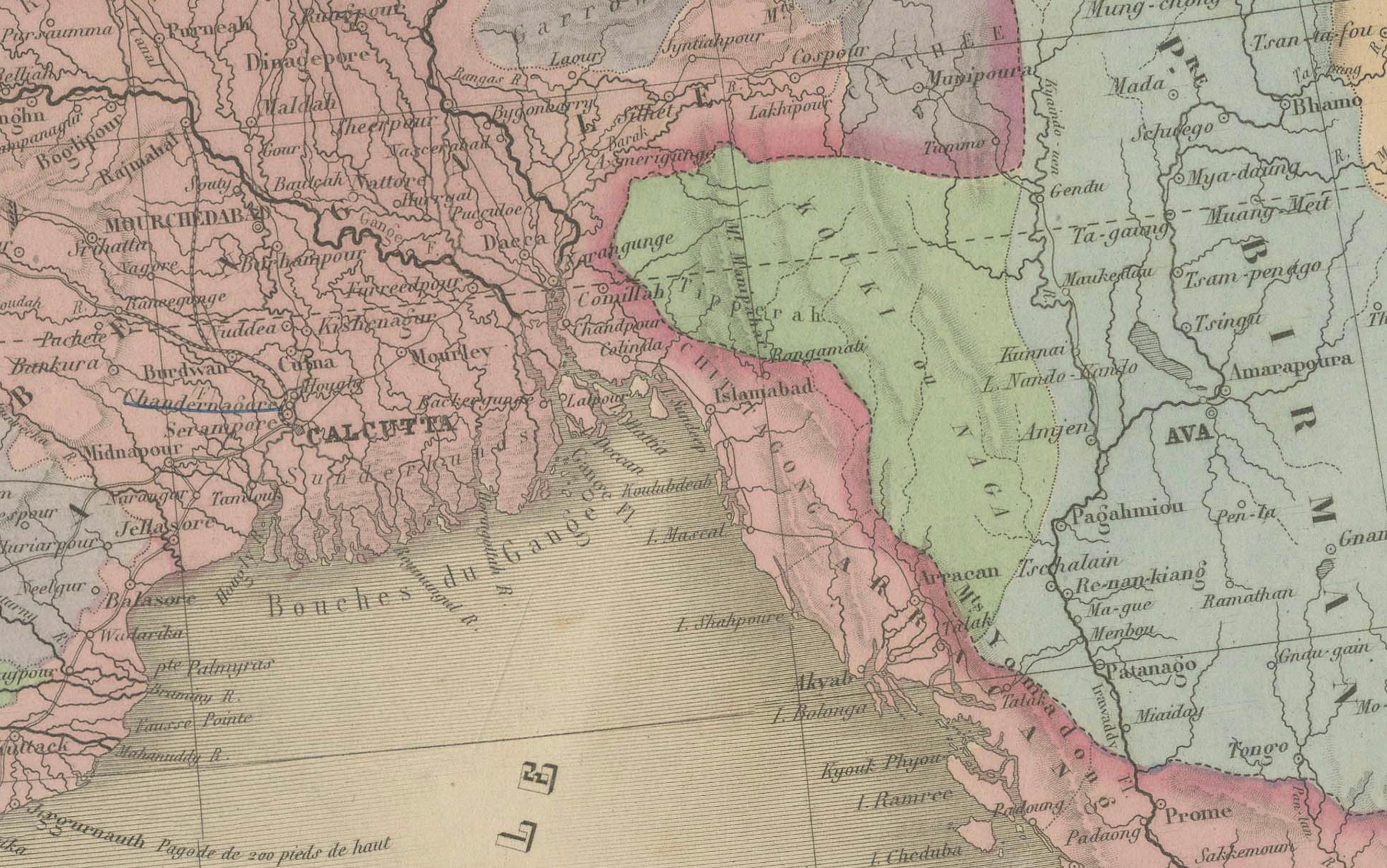
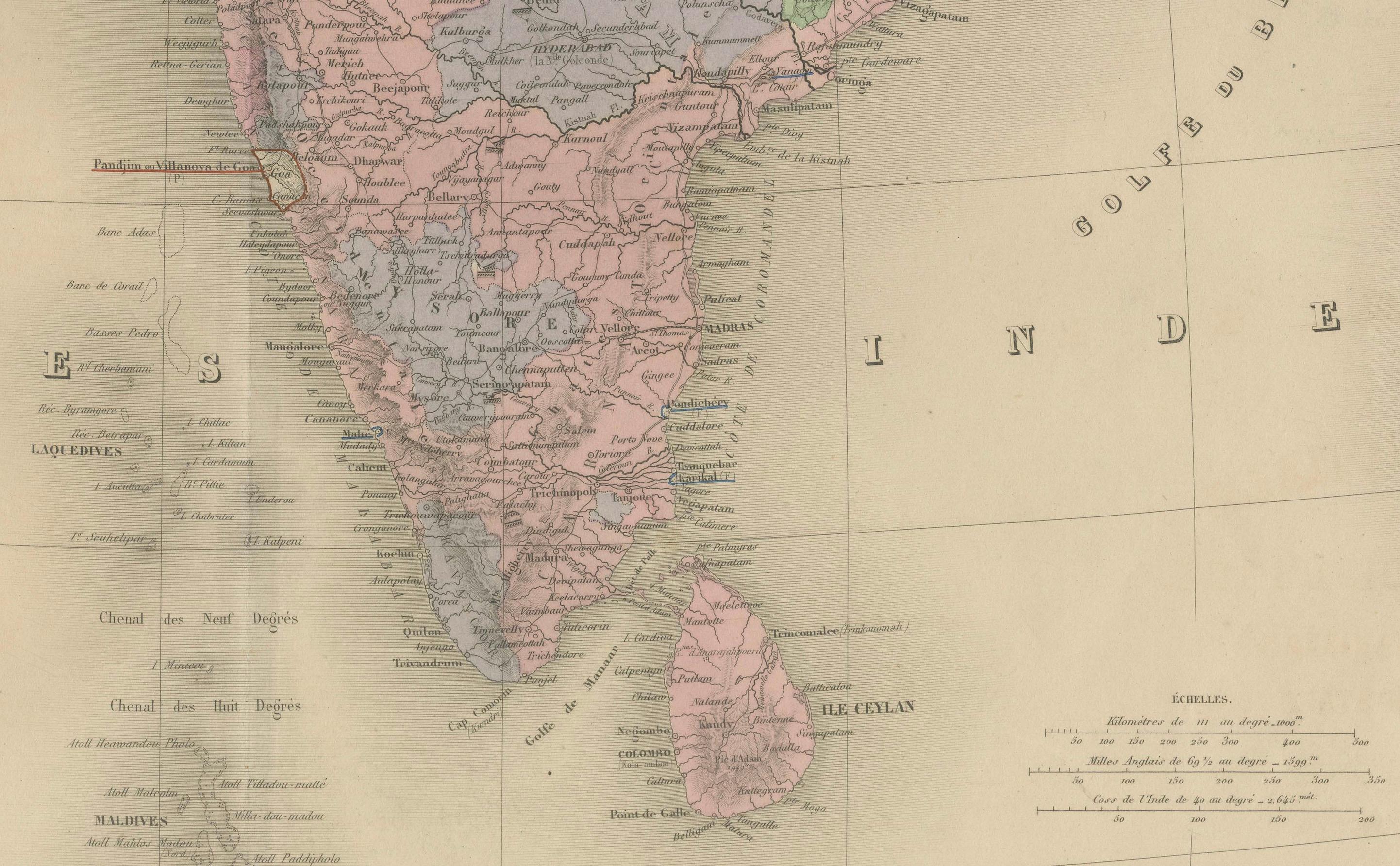
The Indian peninsula is shown in extraordinary detail, capturing the complex political landscape under British colonial control. Princely states are individually colored, with clear boundaries separating territories under direct British rule from those governed by local rulers. Major cities such as Bombay, Calcutta, Madras, Delhi, Lahore, and Hyderabad are prominently marked, alongside principal rivers, mountain ranges, and road networks.
To the northwest, the Persian Empire appears in yellow, stretching to the Caspian Sea and the Persian Gulf. Afghanistan and Baluchistan are delineated with colored boundaries, reflecting the geopolitical interest of European powers in this buffer zone between British India and the Russian Empire during the “Great Game.”
A legend at bottom center explains the various color codes and boundary lines, distinguishing independent states, provinces under British rule, and tribal regions. The inclusion of the Persian Gulf, Arabian Sea, and Indian Ocean further situates the subcontinent within a broader maritime and geopolitical context.
This map serves as an important historical document reflecting colonial influence, territorial divisions, and regional geography during the mid-19th century.
Condition: Very good condition. Original centerfold. Slight age toning to margins, minor edge wear. Strong original hand coloring, sharp engraving. Plate number 35 in upper right.
Framing tips: Ideal in a dark wooden or ebonized frame with a neutral ivory or cream mount. A secondary mat in light ochre or muted red can highlight the warm tones in the map and complement antique interiors.
Technique: Engraving with original hand coloring
Maker: E. Andriveau-Goujon, Paris, 1864