About this sheet
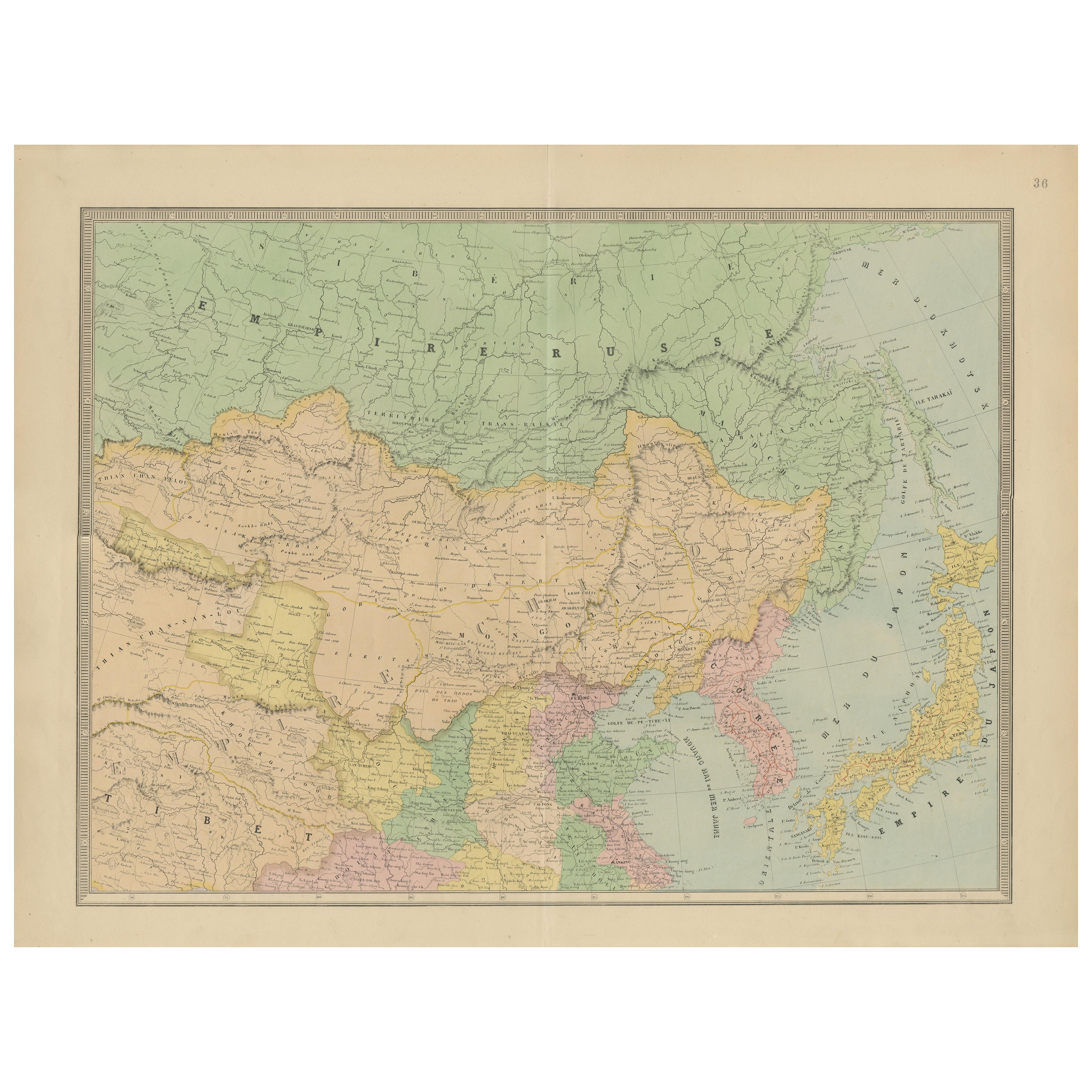
Antique Map of China, Japan & Korea – Eastern Asia by Andriveau-Goujon, 1860
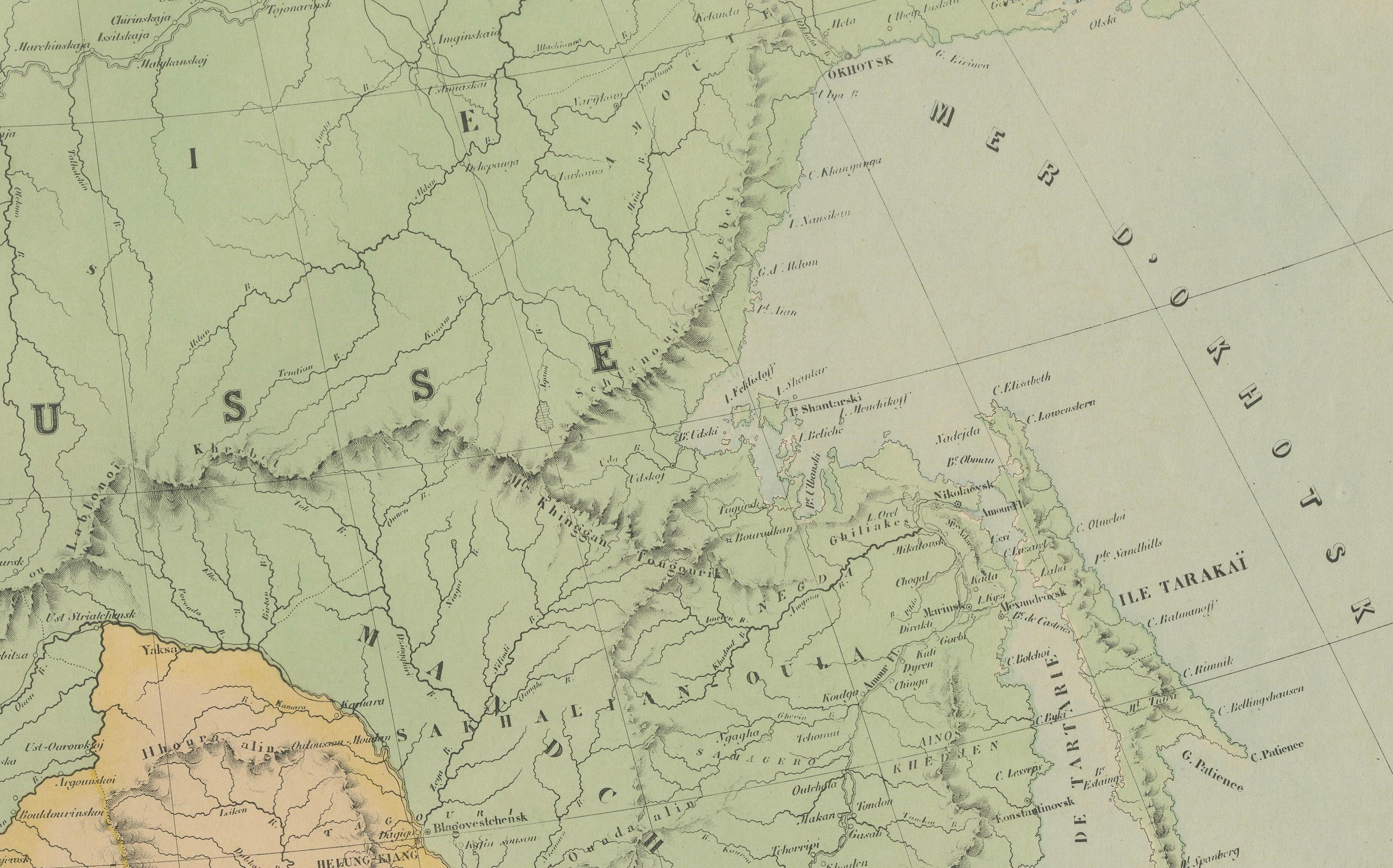
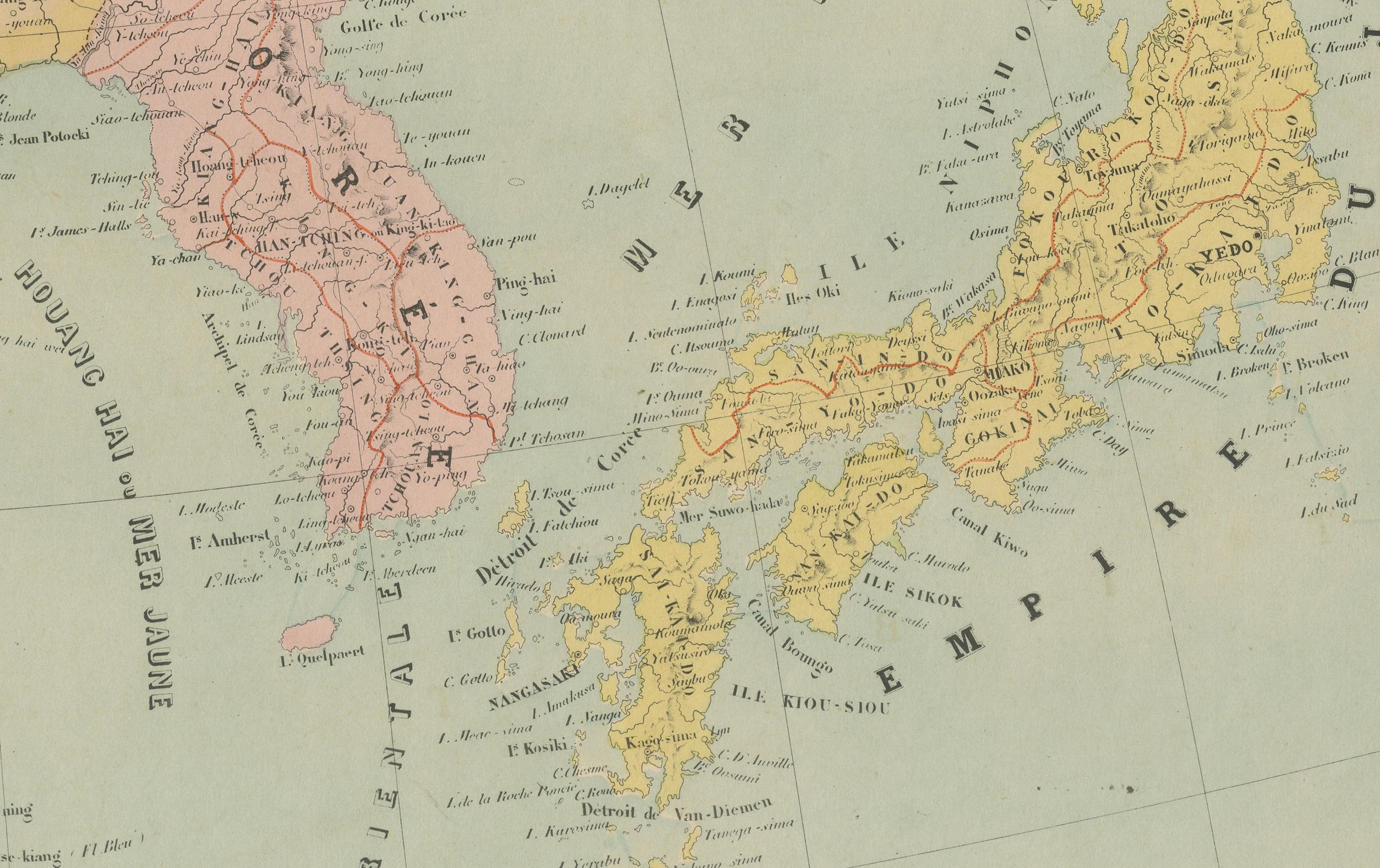
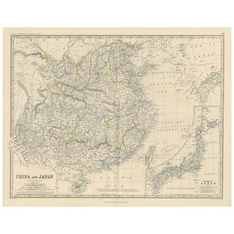
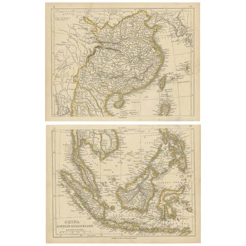
This beautifully hand-colored antique map, titled “Carte de la Chine, de la Corée et du Japon,” was published in Paris in 1860 by E. Andriveau-Goujon as plate number 36 in his Atlas Universel. It offers a highly detailed view of Eastern Asia at a time of dramatic change, with sharp delineations of the Qing Empire, the expanding Russian Empire, and newly opening trade routes to Japan and Korea.
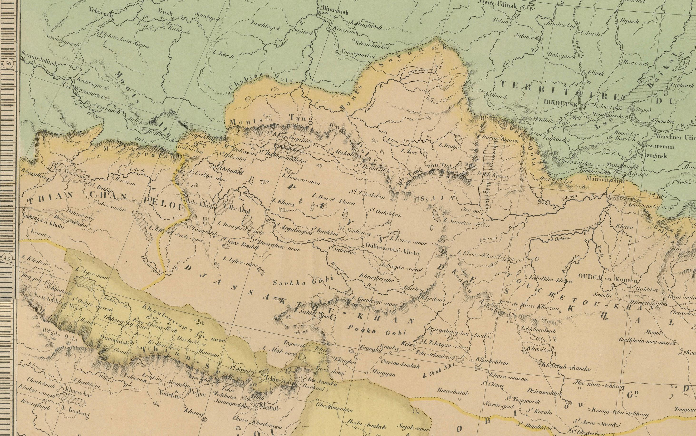
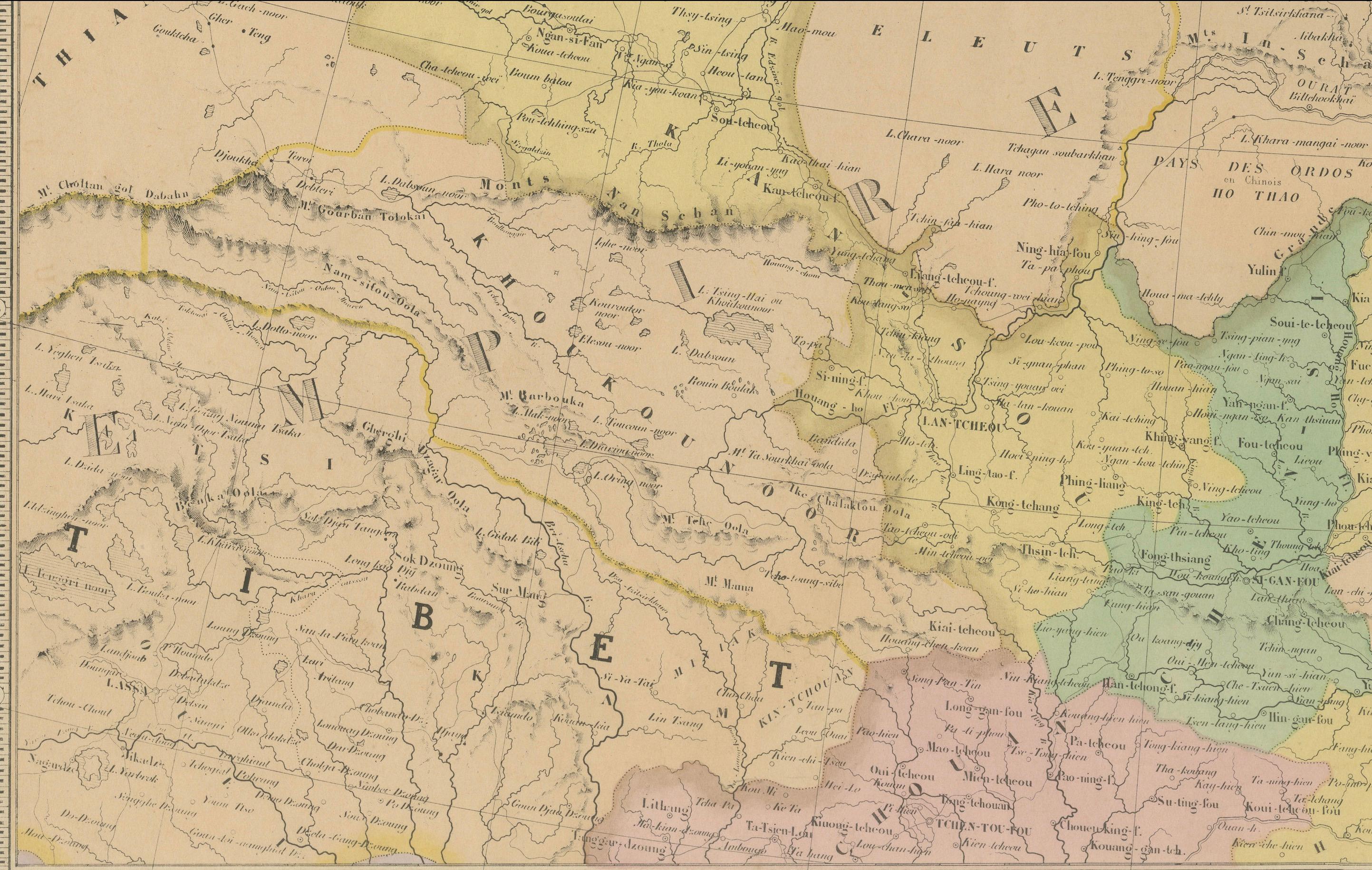
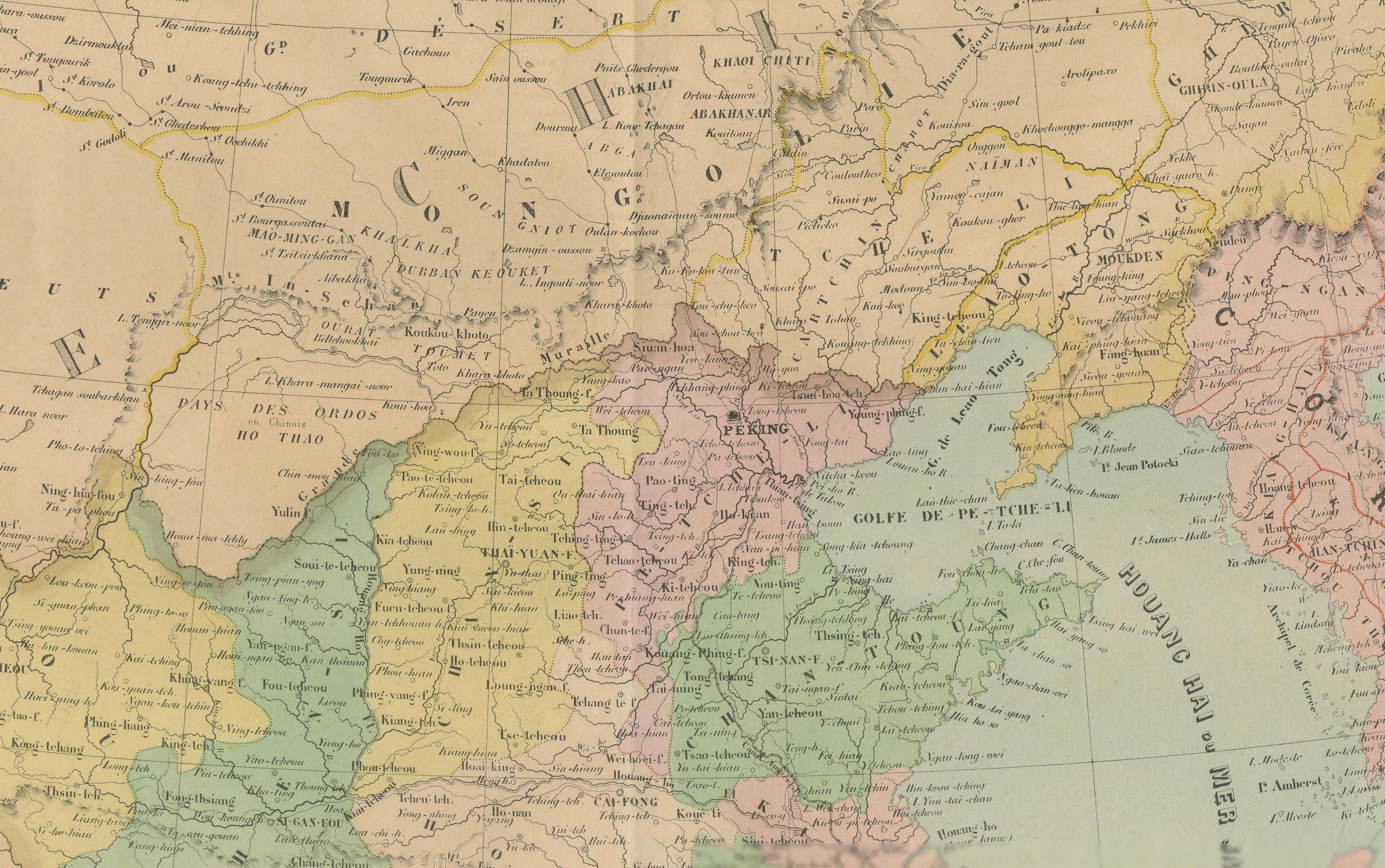
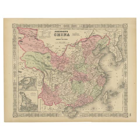
China is prominently featured at the center, divided into its various imperial provinces. Major cities such as Beijing (Pekin), Nanking, Canton (Guangzhou), and Shanghai are clearly marked, alongside key geographical features like the Yellow River, Yangtze River, and the Great Wall. The western parts of the empire, including Xinjiang and Tibet, are also well represented.
To the east, the Korean Peninsula is shown as a vassal kingdom under Chinese suzerainty. Japan, still under the Tokugawa Shogunate at the time, is depicted in its entirety, with the main islands of Honshu, Kyushu, Shikoku, and Hokkaido carefully labeled and outlined. This was just years after Commodore Perry’s expedition opened Japan to foreign trade in 1854, marking this map as a historical document of geopolitical transition.
The Russian Empire stretches across the northern part of the map, with its southern borders pressing into Manchuria and the Far East. The map also shows parts of Indochina, including present-day Vietnam, Laos, Cambodia, and Thailand.
This map is a fascinating record of mid-19th century Asian political geography and European perceptions of the East. It is particularly significant for collectors interested in imperial Chinese cartography, early Japanese maps, or the colonial view of Asia during the 1800s.
Condition: Excellent impression with original centerfold. Slight age toning to outer margins, small handling marks, no tears. Strong plate imprint and original hand coloring preserved.
Framing tips: Frame in a minimalist black or deep cherry wood frame with a neutral cream or pale green mat. This enhances the color palette and highlights the fine engraved detail.
Technique: Engraving with original hand coloring
Maker: E. Andriveau-Goujon, Paris, 1860