About this sheet

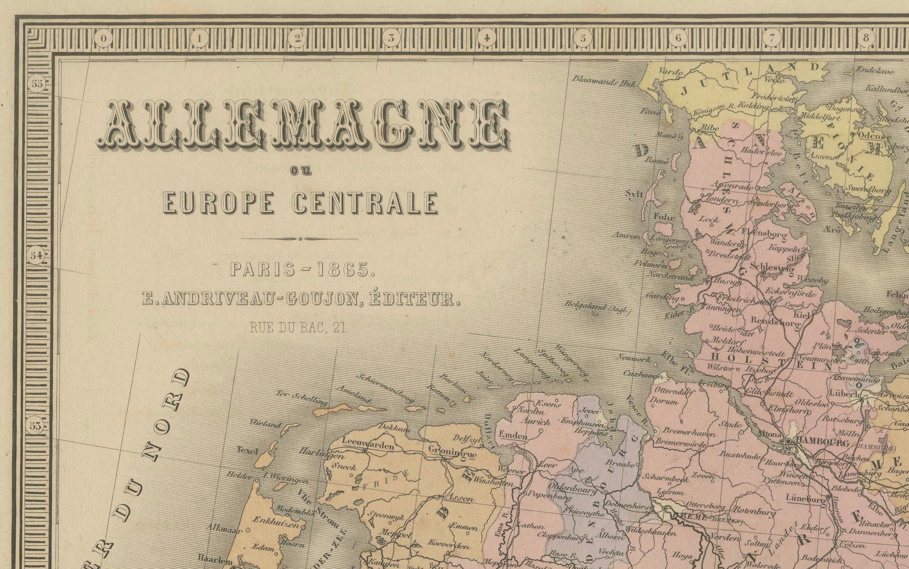
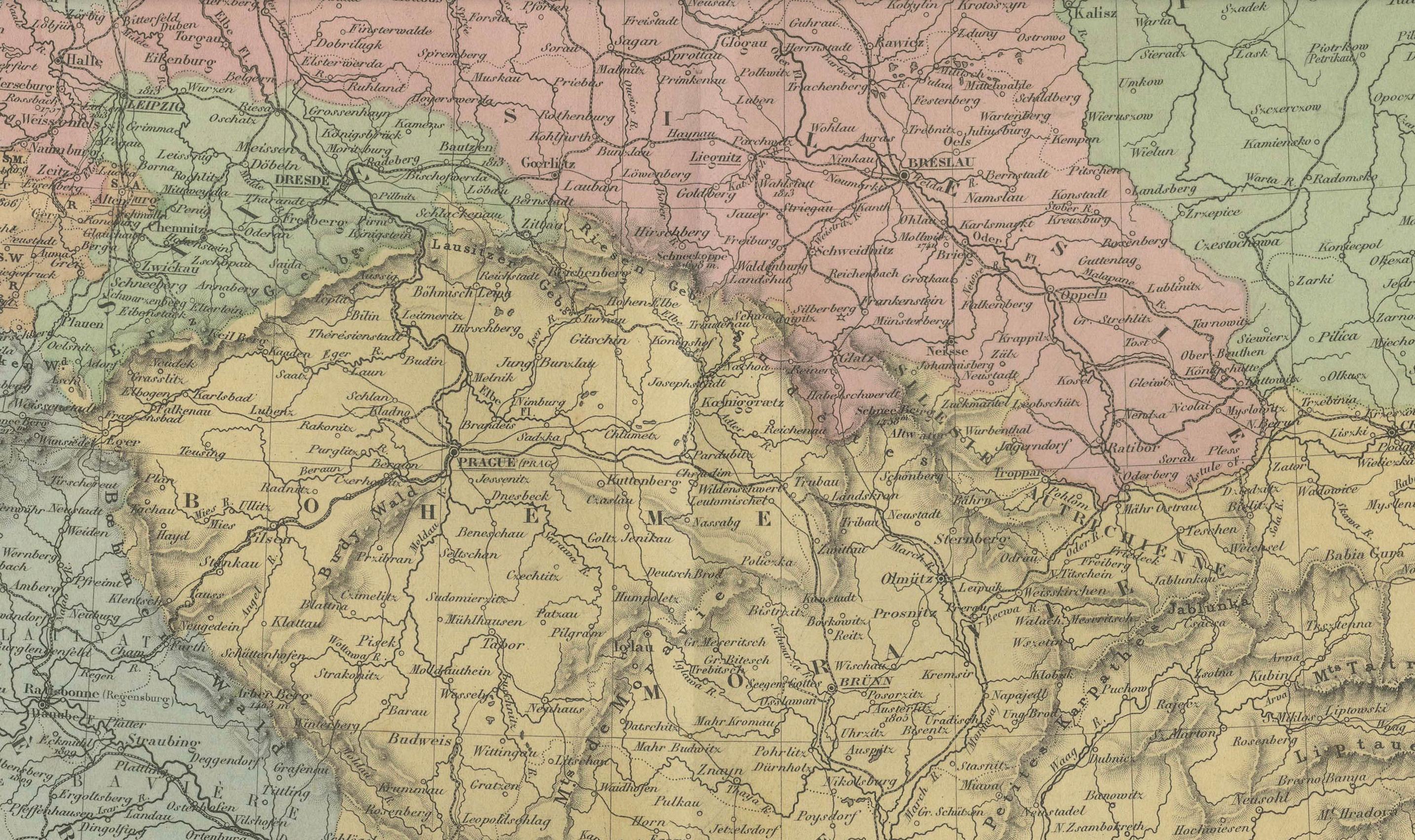
Antique Map of Germany and Central Europe – “Allemagne et Europe Centrale” by Andriveau-Goujon, 1865
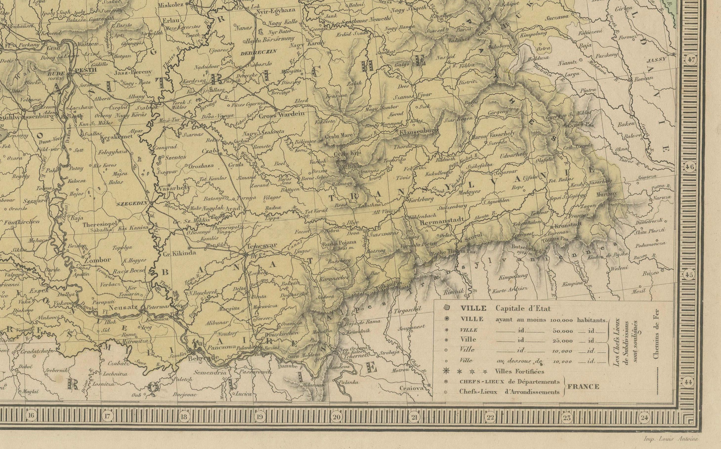
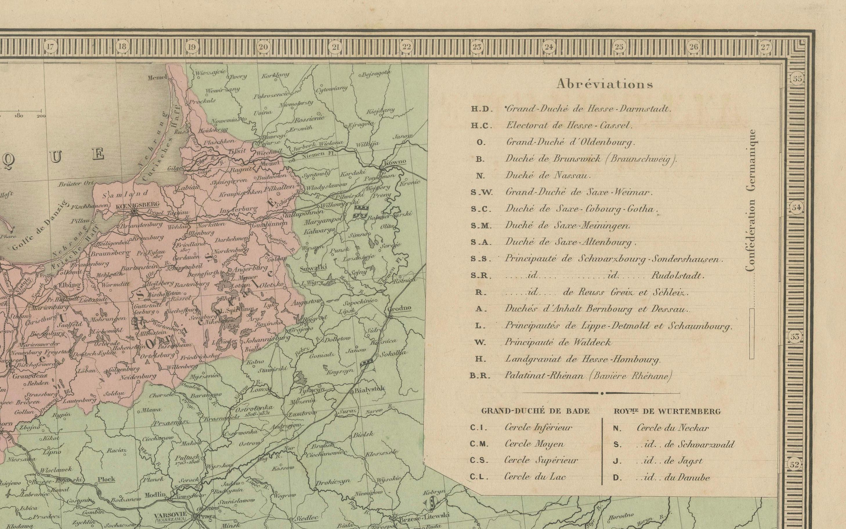
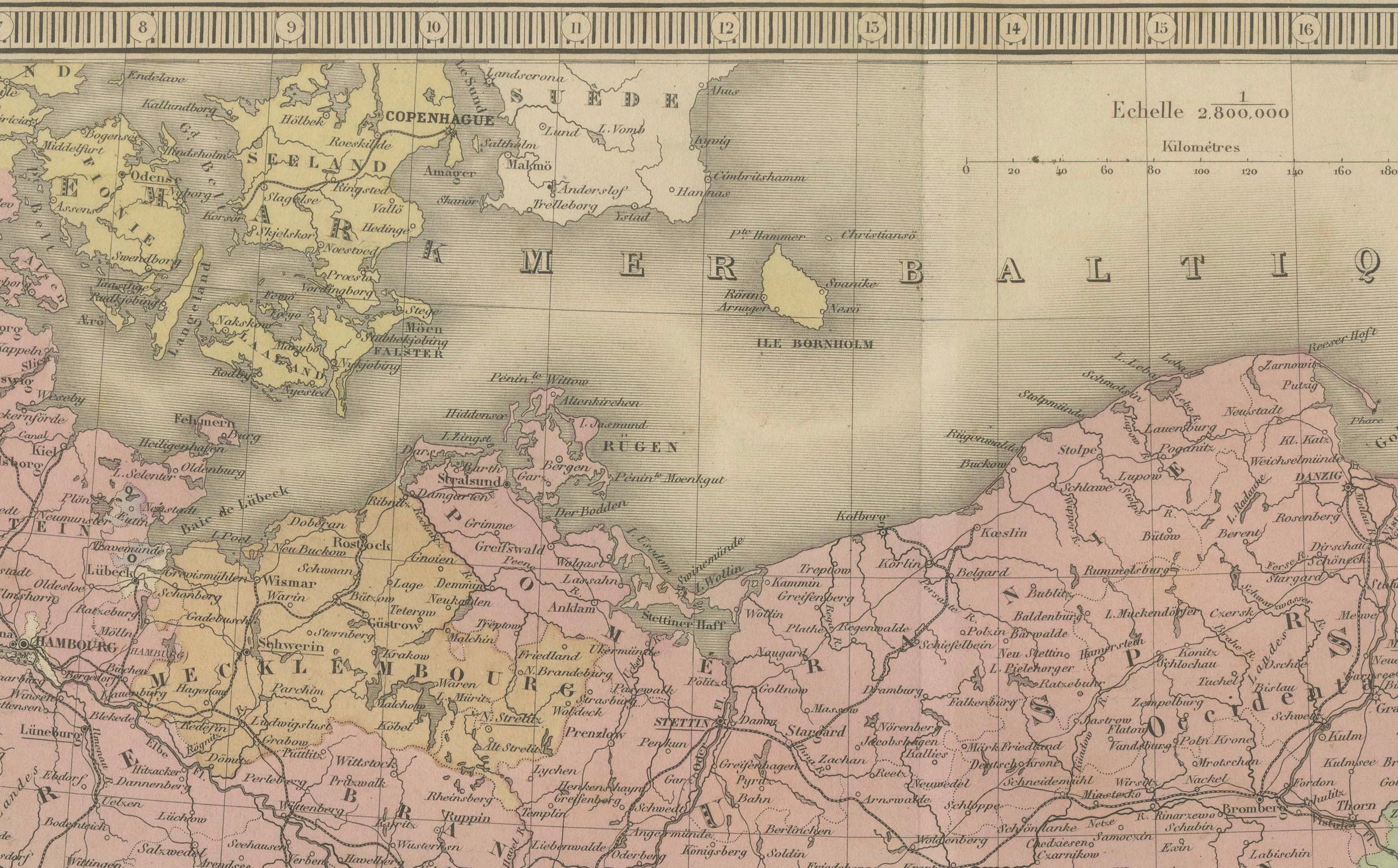
This large, finely engraved map titled “Allemagne et Europe Centrale” was published in Paris in 1865 by E. Andriveau-Goujon, one of the most prominent 19th-century French map publishers. Issued as plate number 28 in the Atlas Universel, the map provides a highly detailed depiction of Central Europe on the eve of German unification, encompassing the German Confederation, the Austrian Empire, and neighboring states in their mid-19th-century political configuration.
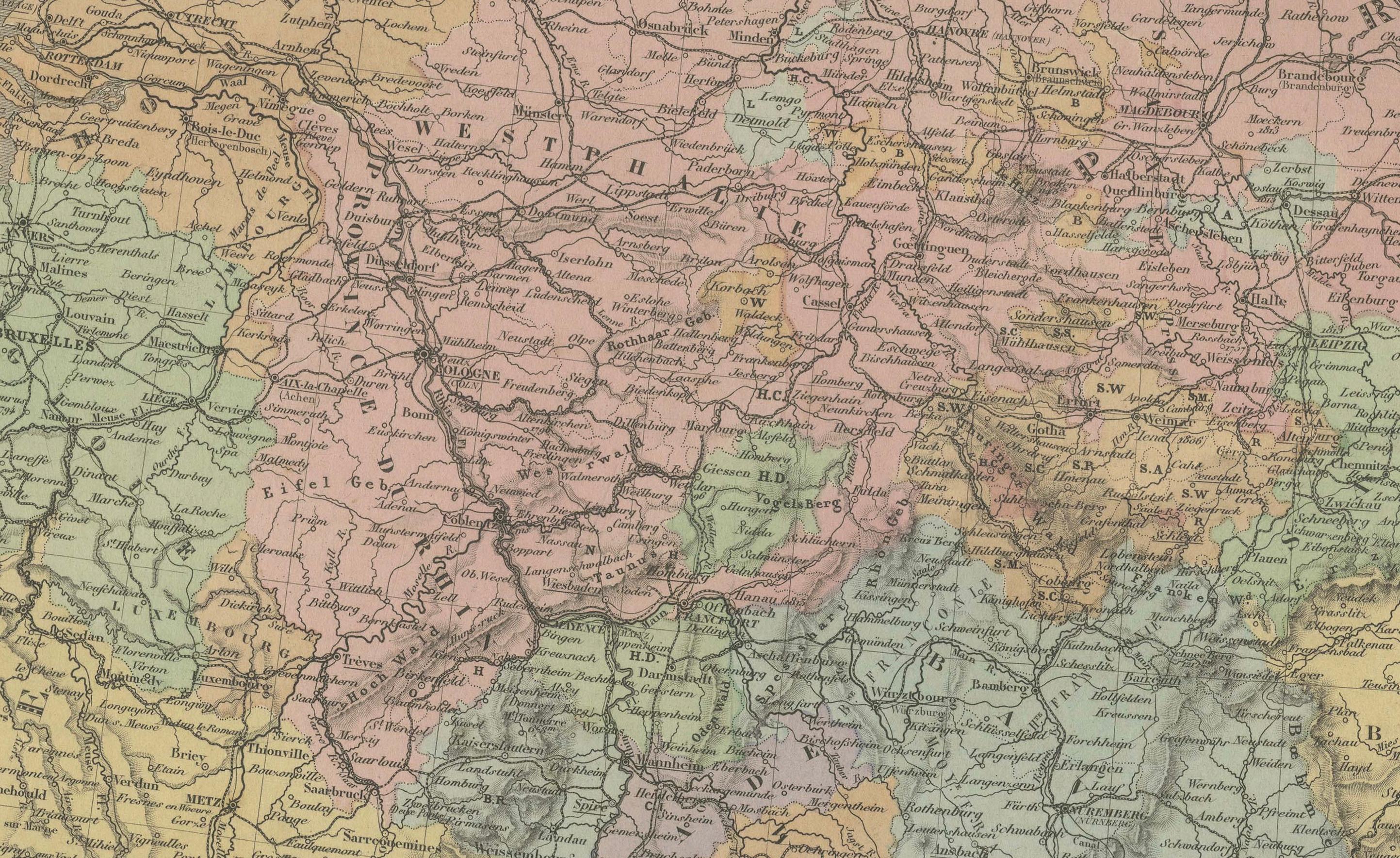
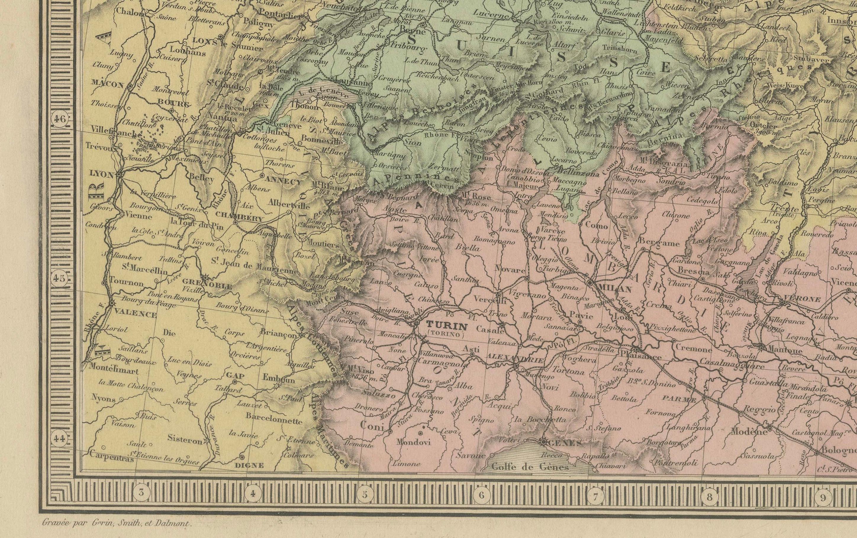
The map covers a vast area from the Netherlands and eastern France in the west to Poland and western Russia in the east, and from the North Sea and Baltic Sea down to northern Italy, Hungary, and the Balkans. It captures the fragmented nature of the German states at the time, with Prussia, Bavaria, Saxony, Württemberg, Hanover, and numerous smaller duchies, bishoprics, and free cities all rendered in distinct pastel colors.
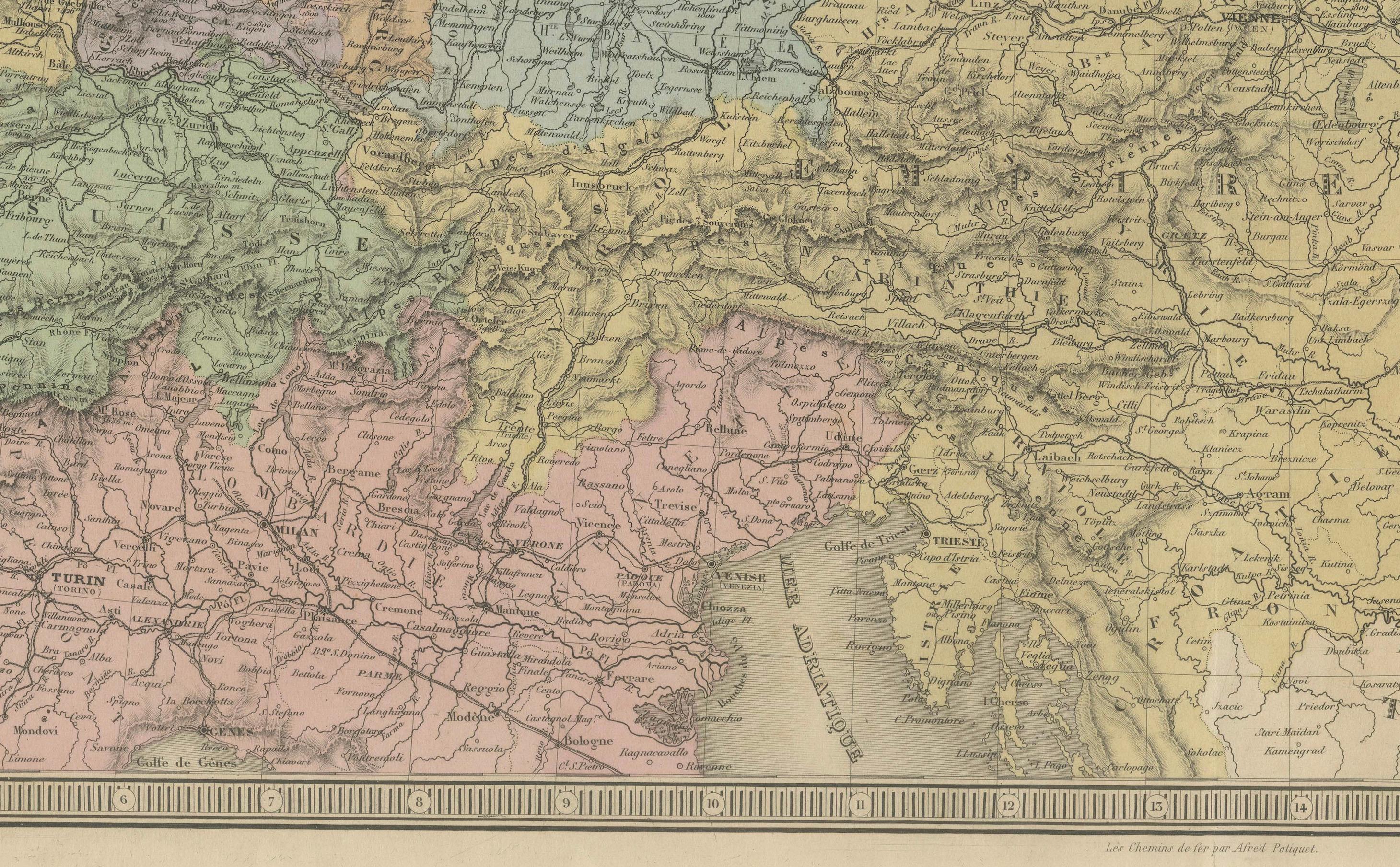
To the southeast, the map illustrates the full extent of the Austrian Empire in yellow, including modern-day Austria, Hungary, the Czech Republic, Slovakia, and parts of the Balkans. Important cities such as Berlin, Vienna, Munich, Frankfurt, Prague, Dresden, and Budapest are all clearly marked, along with roads, rivers, and administrative boundaries.
In the upper right corner, a legend titled “Abbreviations” lists the German Confederation’s member states and principal regions, such as the Kingdom of Prussia, Grand Duchy of Baden, and Duchy of Brunswick. At the bottom right, a key to symbols defines capital cities, fortified towns, and religious centers.
This map is a valuable historical record of Central Europe before the political reconfigurations brought about by the Austro-Prussian War of 1866 and the creation of the German Empire in 1871. It appeals to collectors interested in European history, German unification, and 19th-century political geography.
Condition: Very good. Light toning and minor foxing in the margins, original centerfold as issued. Clean engraving with delicate original hand coloring. Plate number 28 in upper right.
Framing tips: A dark wood or antique gold frame with a cream mat will highlight the detailed engraving and period colors. A muted green or burgundy inner mat could enhance the central European palette.
Technique: Engraving with original hand coloring
Maker: E. Andriveau-Goujon, Paris, 1865