European Turkey and Greece Map – Balkans and Ionian Islands 1857
€ 340
Original antique · The actual sheet photographed · Certificate of authenticity on request · Sold unframed · Worldwide shipping from € 15 (rates)
Date
1857
Technique
Copperplate engraving with original hand coloring, used to differentiate political borders with subtle hues. German titles and annotations are engraved with cl
Sheet size
37.5 × 45.4 cm (14.8 × 17.9 in)
Condition
Good
Reference
BG-05552-42
What the condition grades mean
Excellent
Bright and clean, with no faults worth mentioning.
Very good
Only light signs of age, such as faint toning.
Good
Normal signs of age for a sheet of this period: toning, some foxing, small marks or neat old repairs.
Fair
Clear faults such as staining, tears or repairs, priced to match.
Every fault we see is written in the condition note, and the whole sheet is shown uncropped in the photos.
Condition
Condition summary: Excellent condition with strong impression, minimal age toning, and no tears, repairs, or significant foxing. Colors remain fresh and paper is firm and stable.
About this sheet
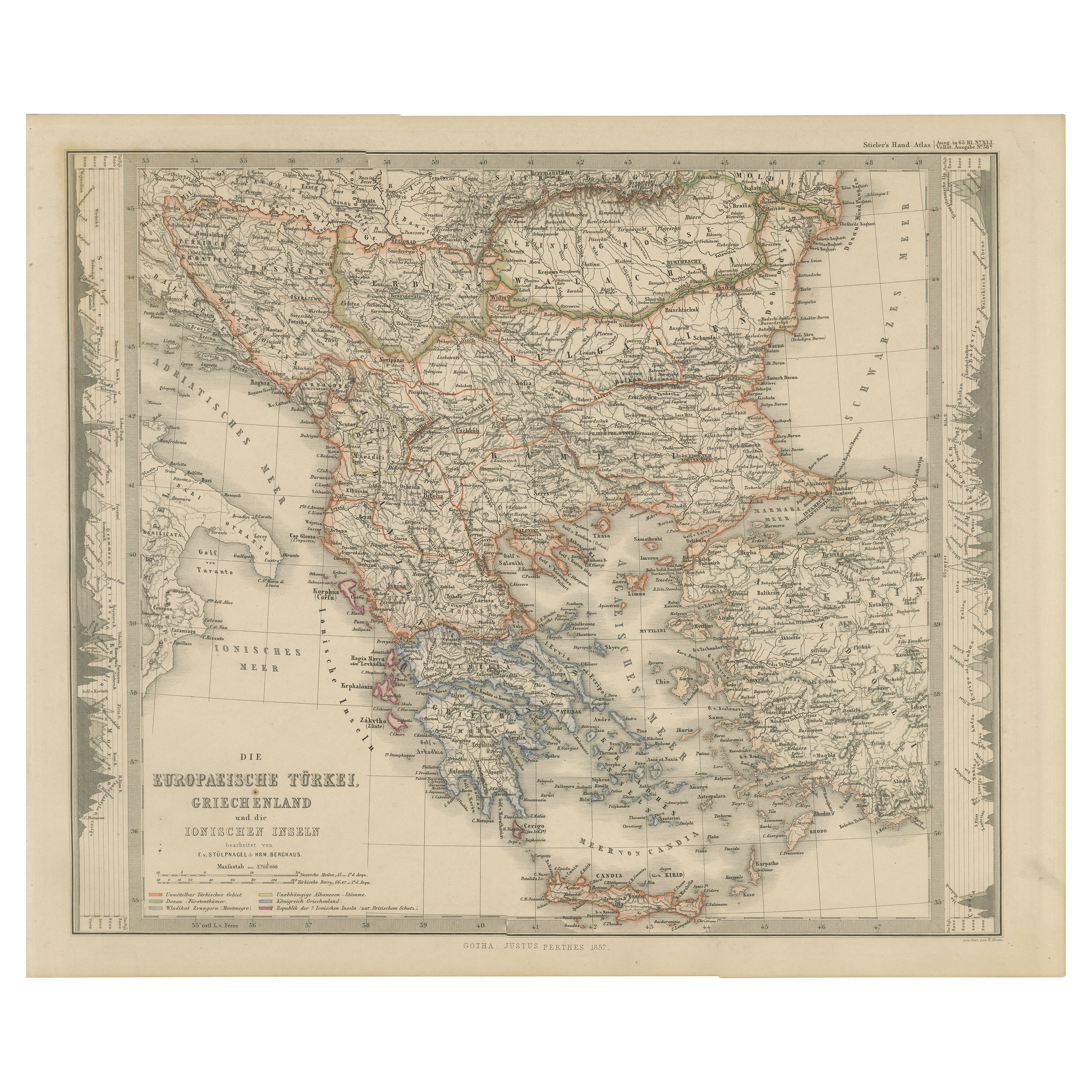
European Turkey and Greece Map – Balkans and Ionian Islands 1857
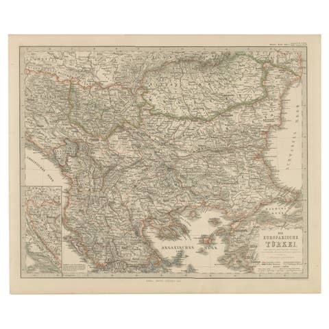
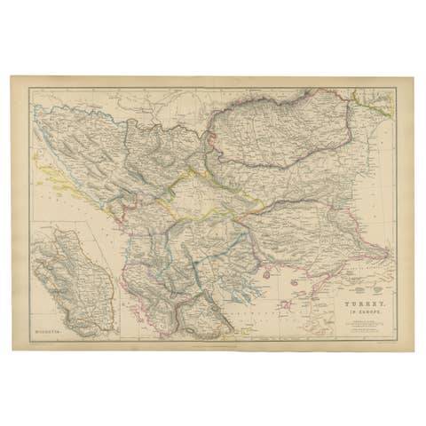
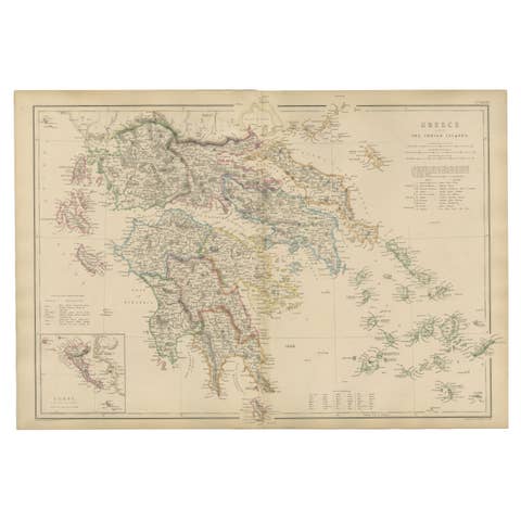
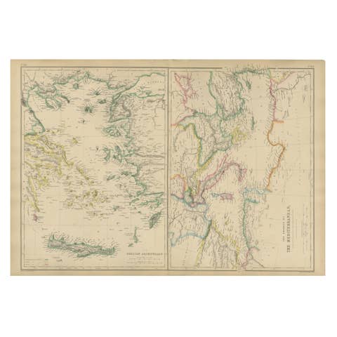
This detailed antique print shows “Die Europäische Türkei, Griechenland und die Ionischen Inseln” meaning “European Turkey, Greece and the Ionian Islands.” Published in 1857 by Justus Perthes in Gotha as part of Adolf Stieler’s prestigious Hand-Atlas, this map was created under the cartographic direction of F. v. Stülpnagel and H. Berghaus.
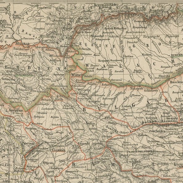
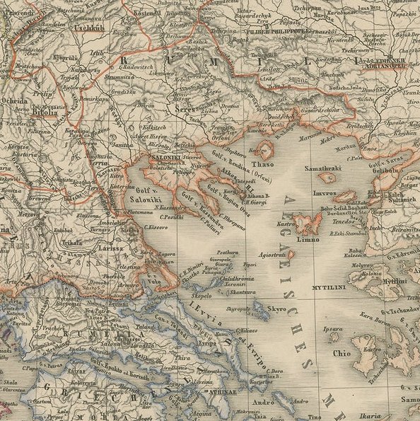
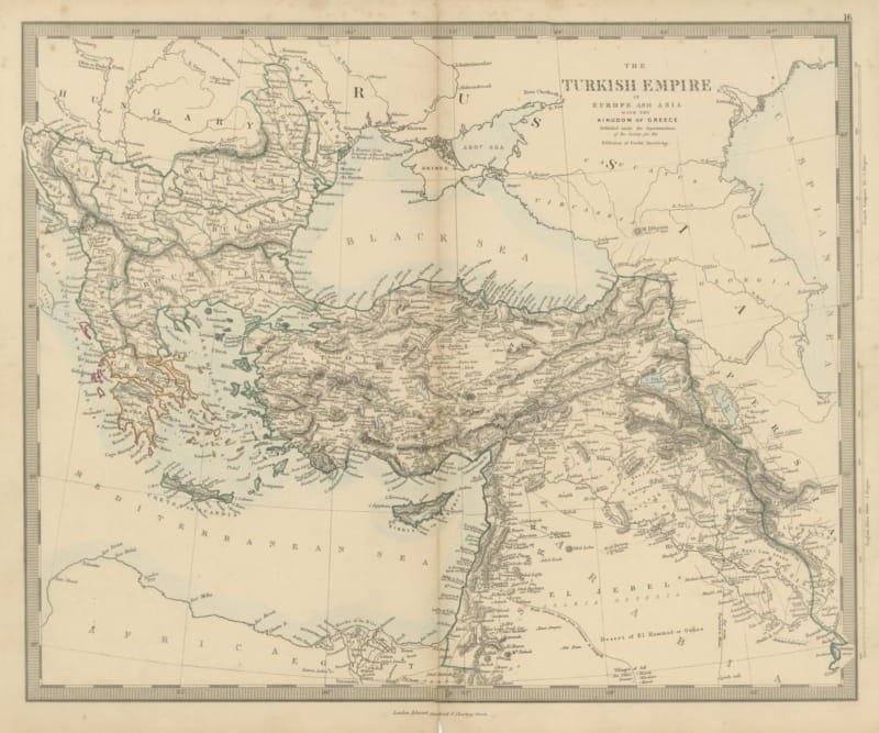
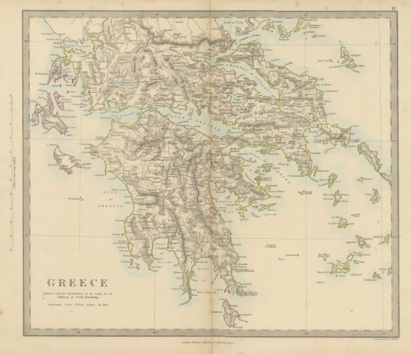
The map covers the entire Balkan Peninsula from the Adriatic Sea across to the Black Sea, including present-day Greece, Albania, Macedonia, Bulgaria, Serbia, Bosnia, Croatia, Romania, and European Turkey. It shows the political borders, towns, rivers, and mountain ranges in fine detail, with the Ionian Islands and Crete (Candia) also clearly delineated.
This map is significant as it depicts the Ottoman Empire’s European territories shortly before the major nationalist uprisings and wars of independence that would reshape the region in the late 19th century. Greece is shown as an independent kingdom while neighboring territories remain under Ottoman control, reflecting the geopolitical tensions of the period.
Condition summary: Excellent condition with strong impression, minimal age toning, and no tears, repairs, or significant foxing. Colors remain fresh and paper is firm and stable.
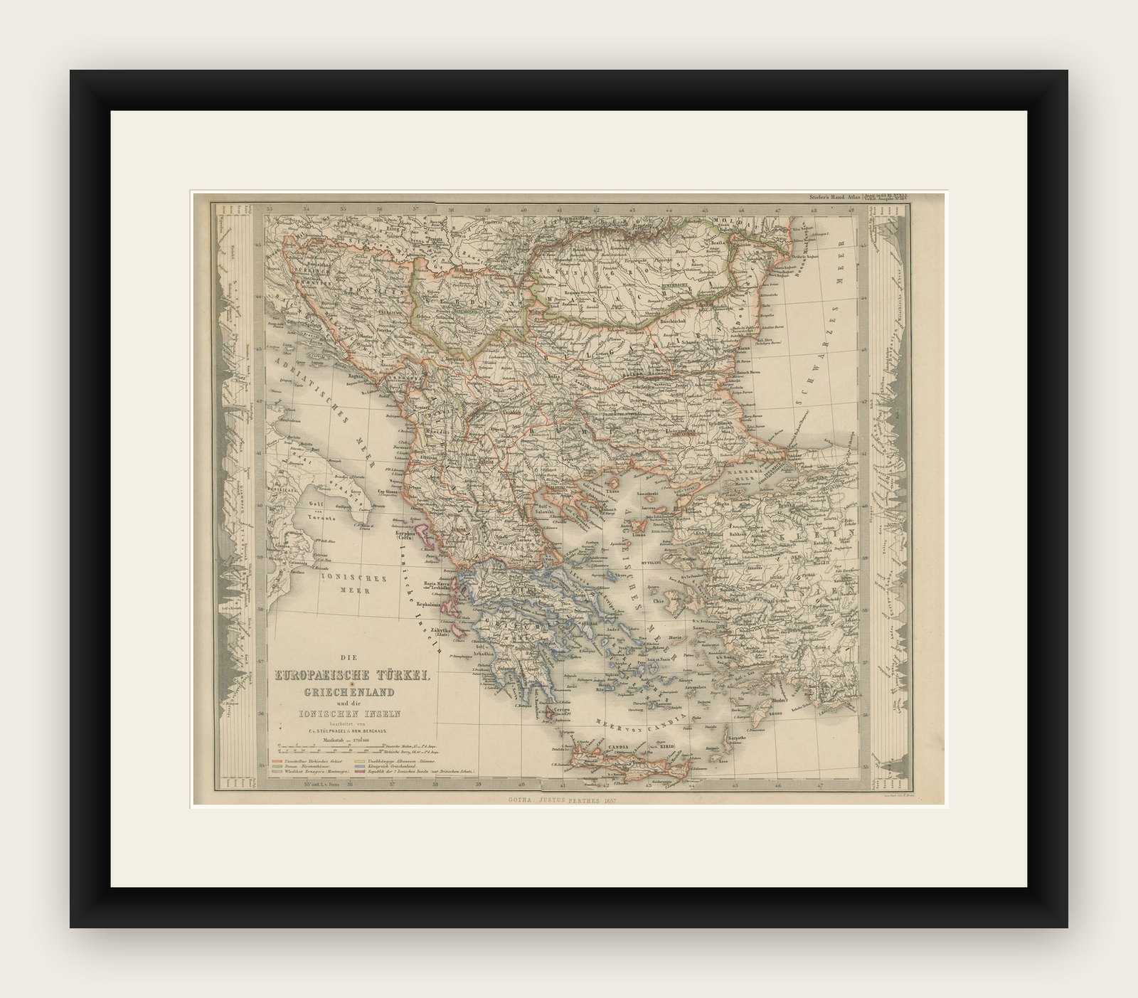
Framing tips: This Balkans and Greece map will look refined in a dark wood or black frame to highlight its historical gravitas, paired with a wide cream or ivory mount to balance its presentation. UV-protective glass is recommended to preserve the engraved detail and original coloring for long-term display.