Mountain Elevation Profiles – Alps, Pyrenees, Andes & World Heights 1857
€ 360
One of a kind: this is the sheet in the photographs. Ships from Langweer, the Netherlands.
Date
1857
Sheet size
37.5 × 45.4 cm (14.8 × 17.9 in)
Condition
Good
Reference
BG-05552-10
Condition
Condition summary: Excellent condition with minimal toning, no tears, repairs, or significant foxing. Colours remain clear and fresh. Paper is firm and stable.
About this sheet
Mountain Elevation Profiles – Alps, Pyrenees, Andes & World Heights 1857
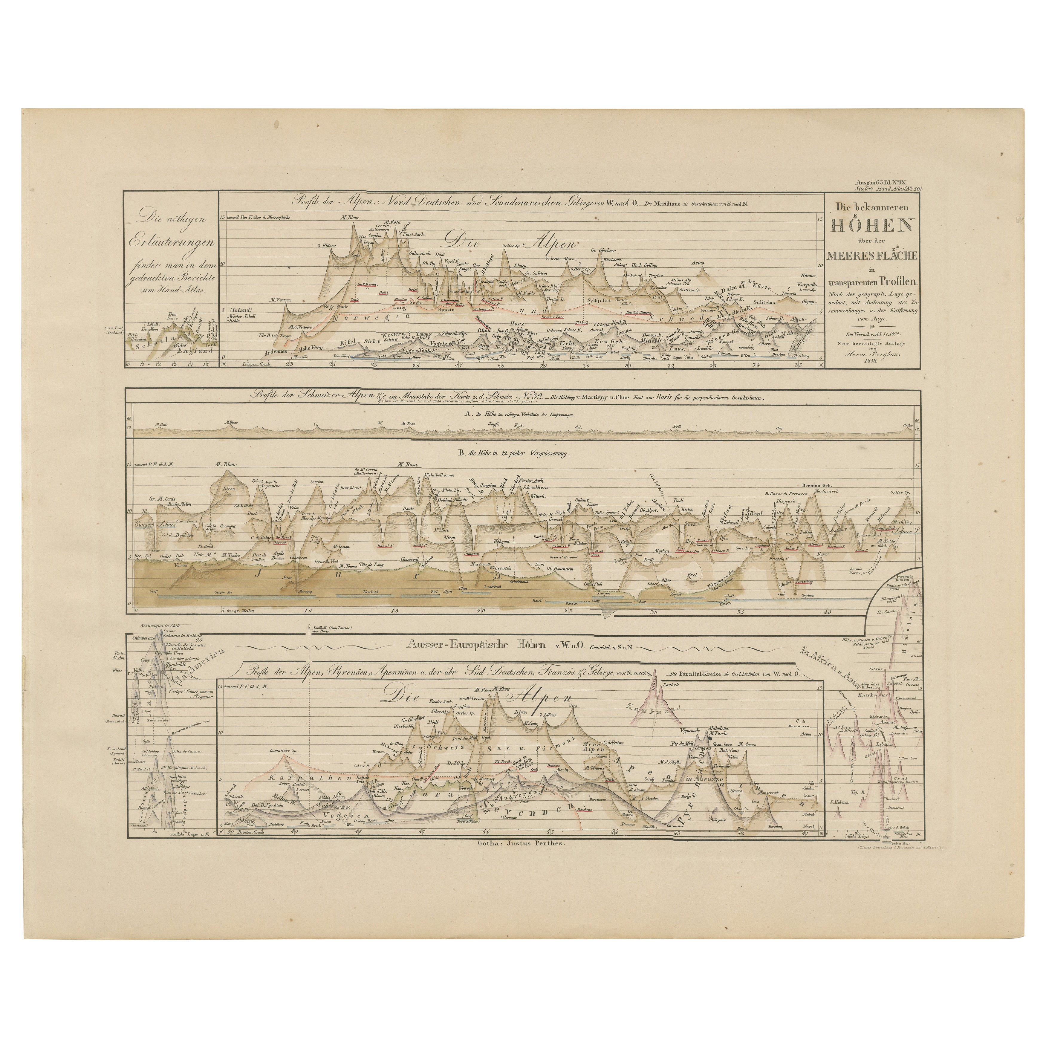
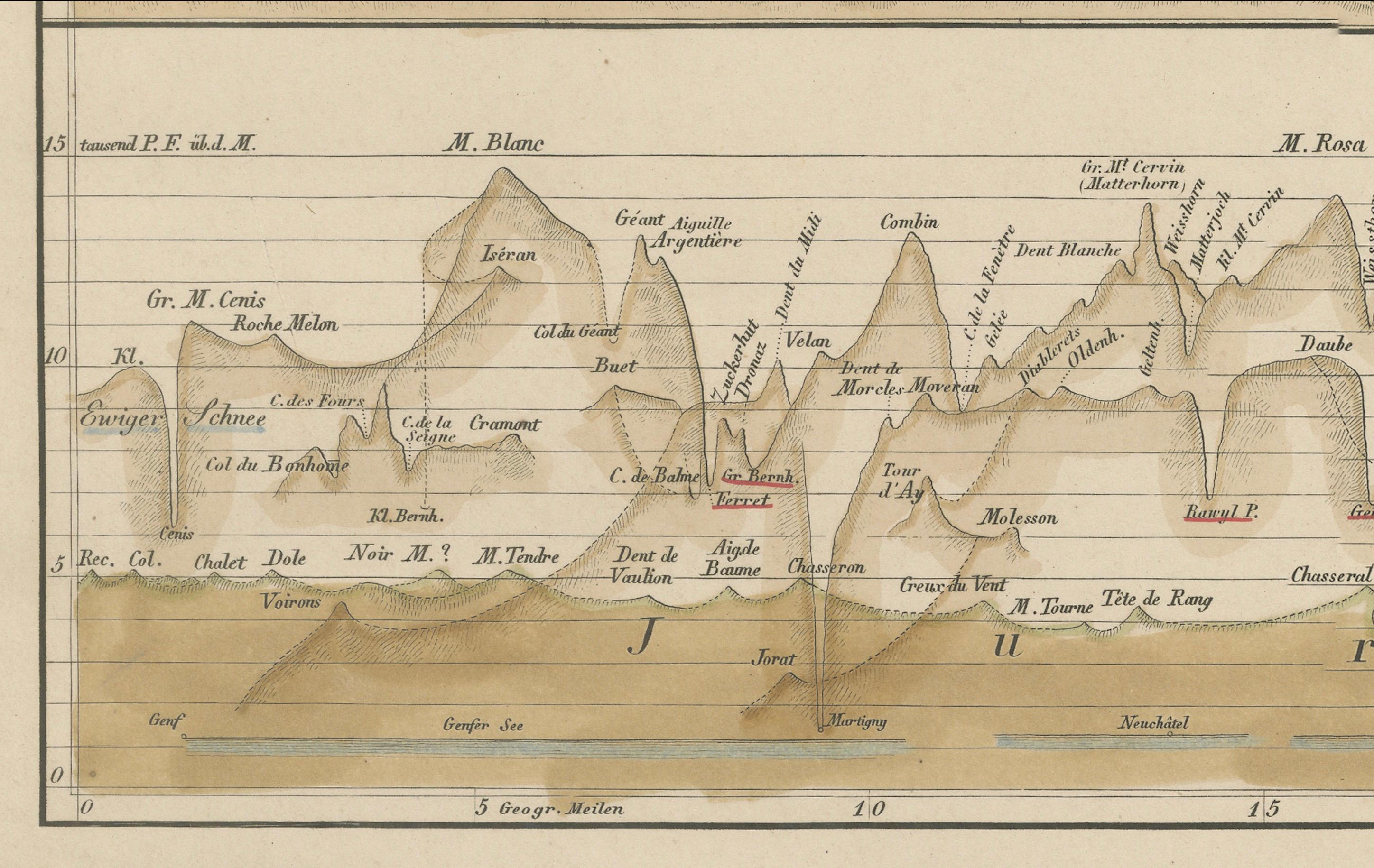
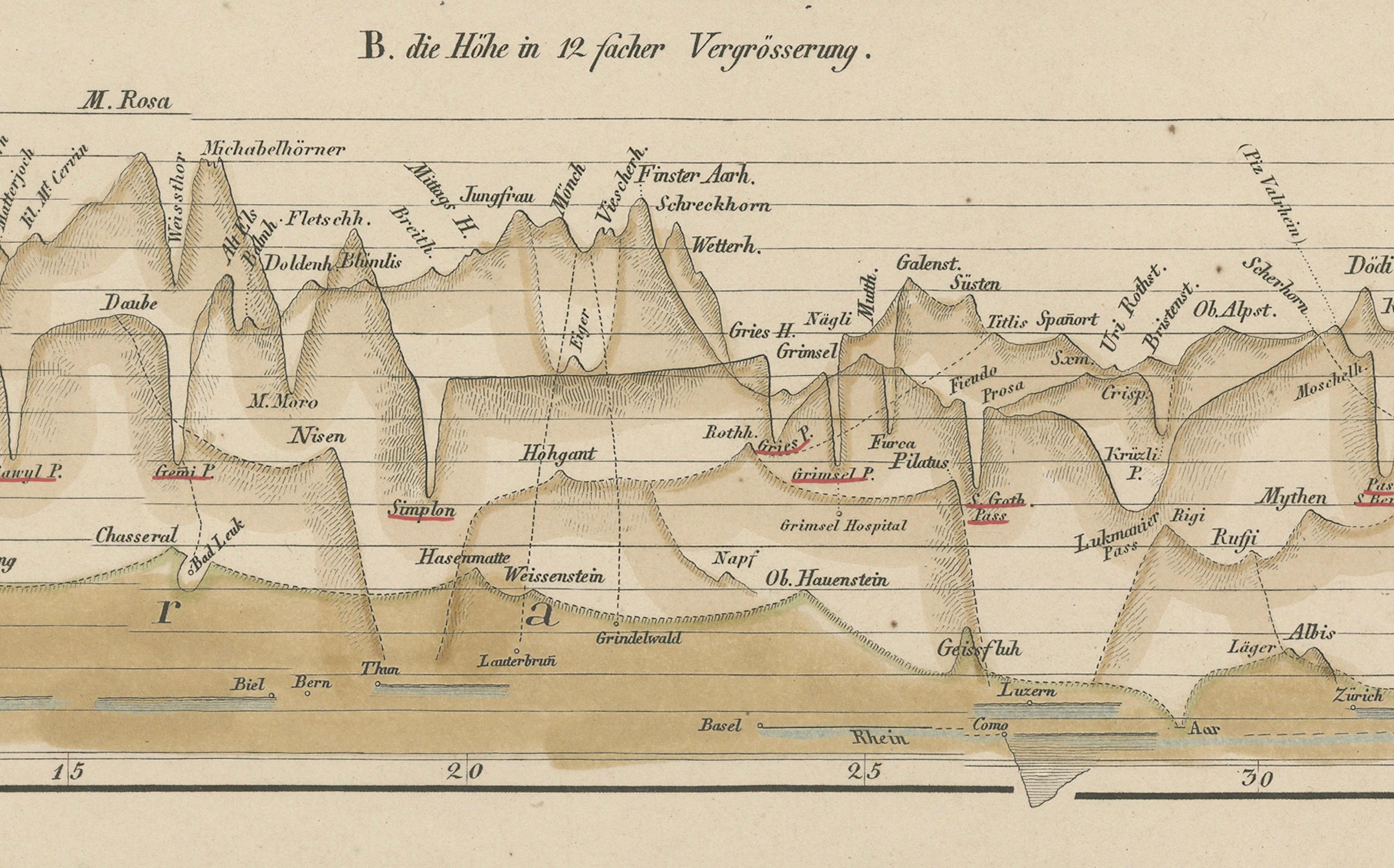
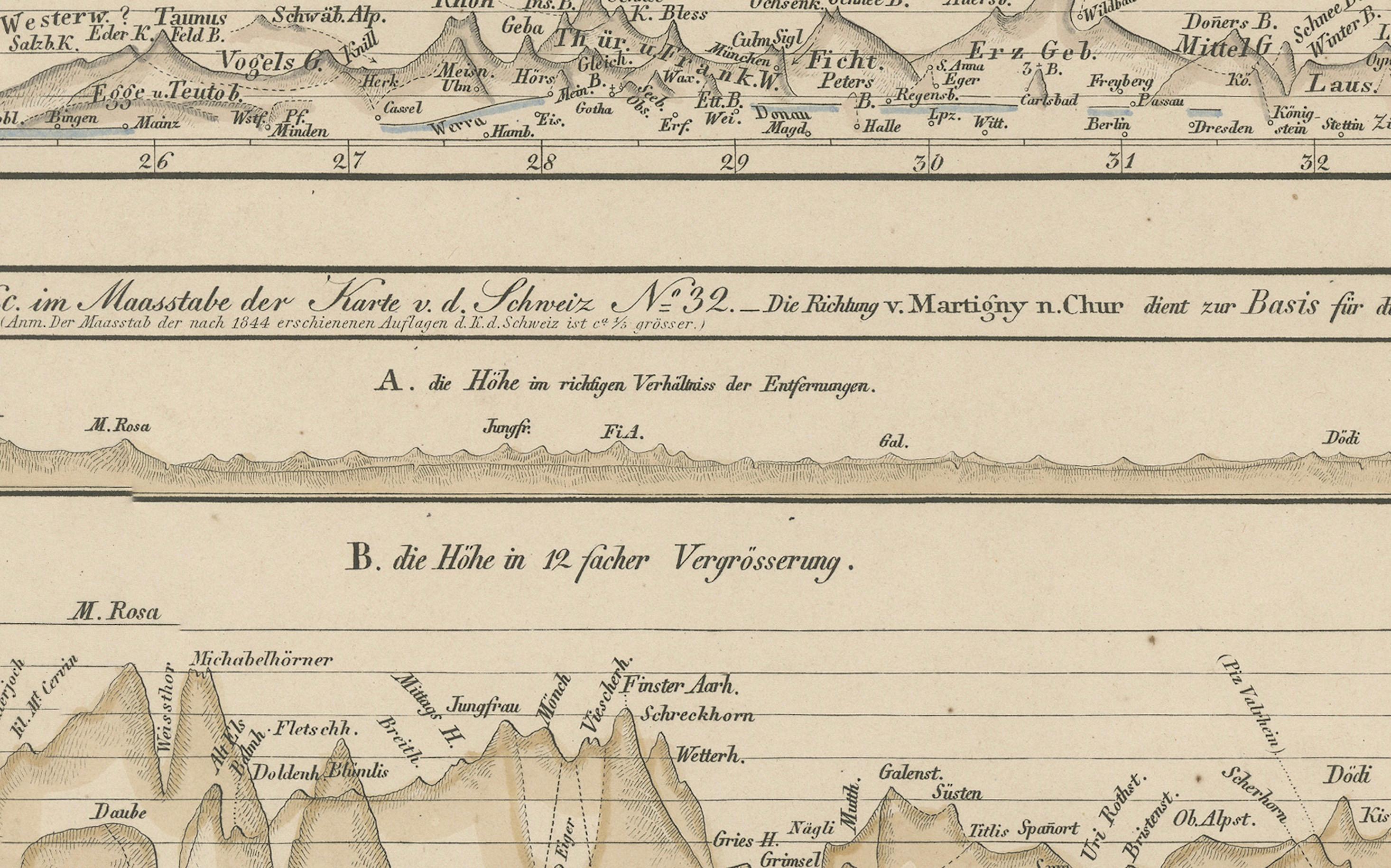
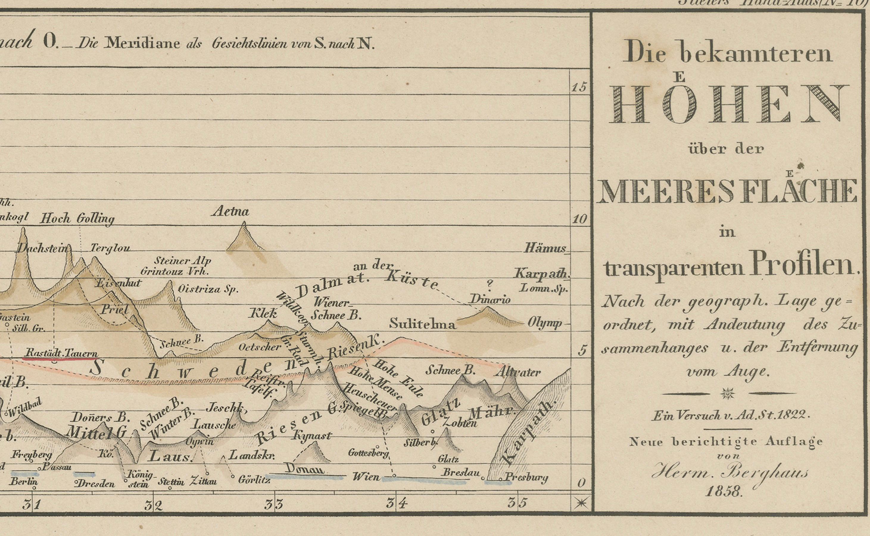
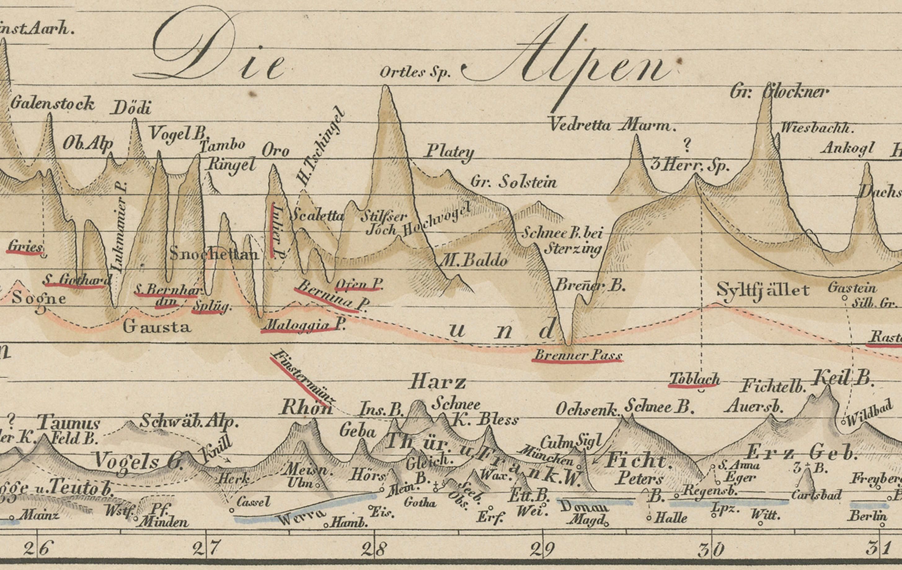
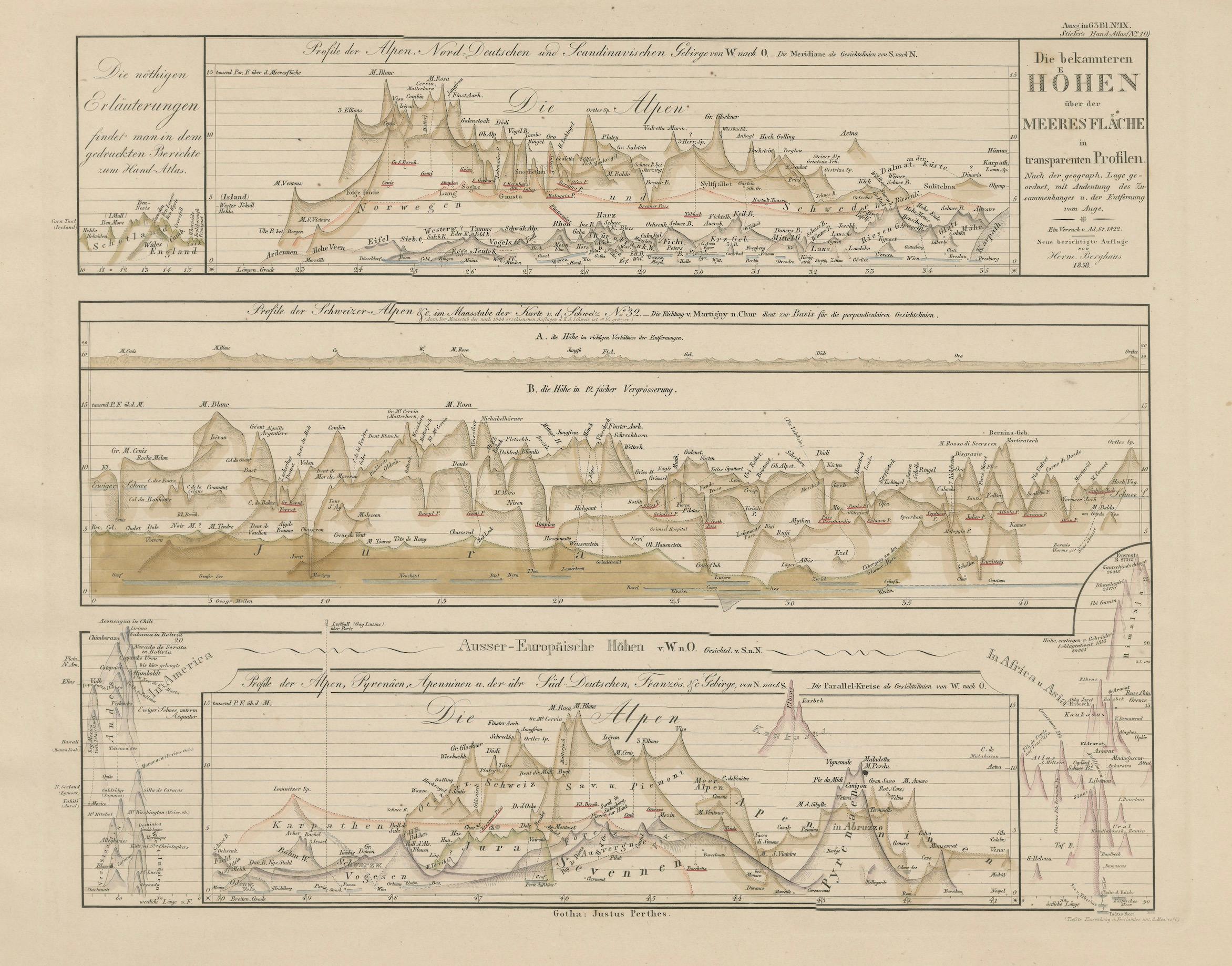
This intriguing antique print shows comparative elevation profiles titled “Die bekannteren Höhen über der Meeresfläche in vergrösserten Profilen,” meaning “The better-known heights above sea level in enlarged profiles.” It features three main diagrams:
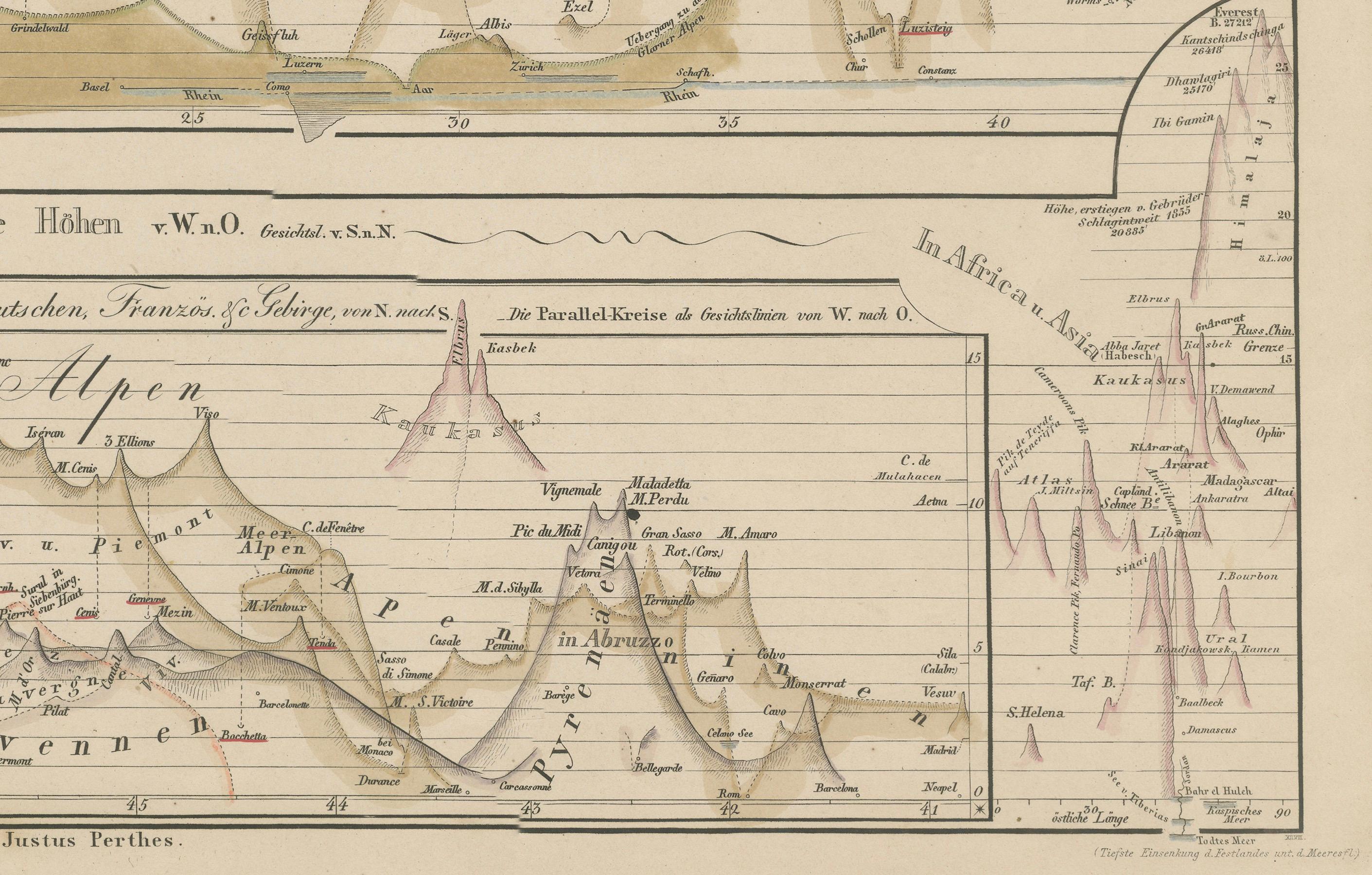
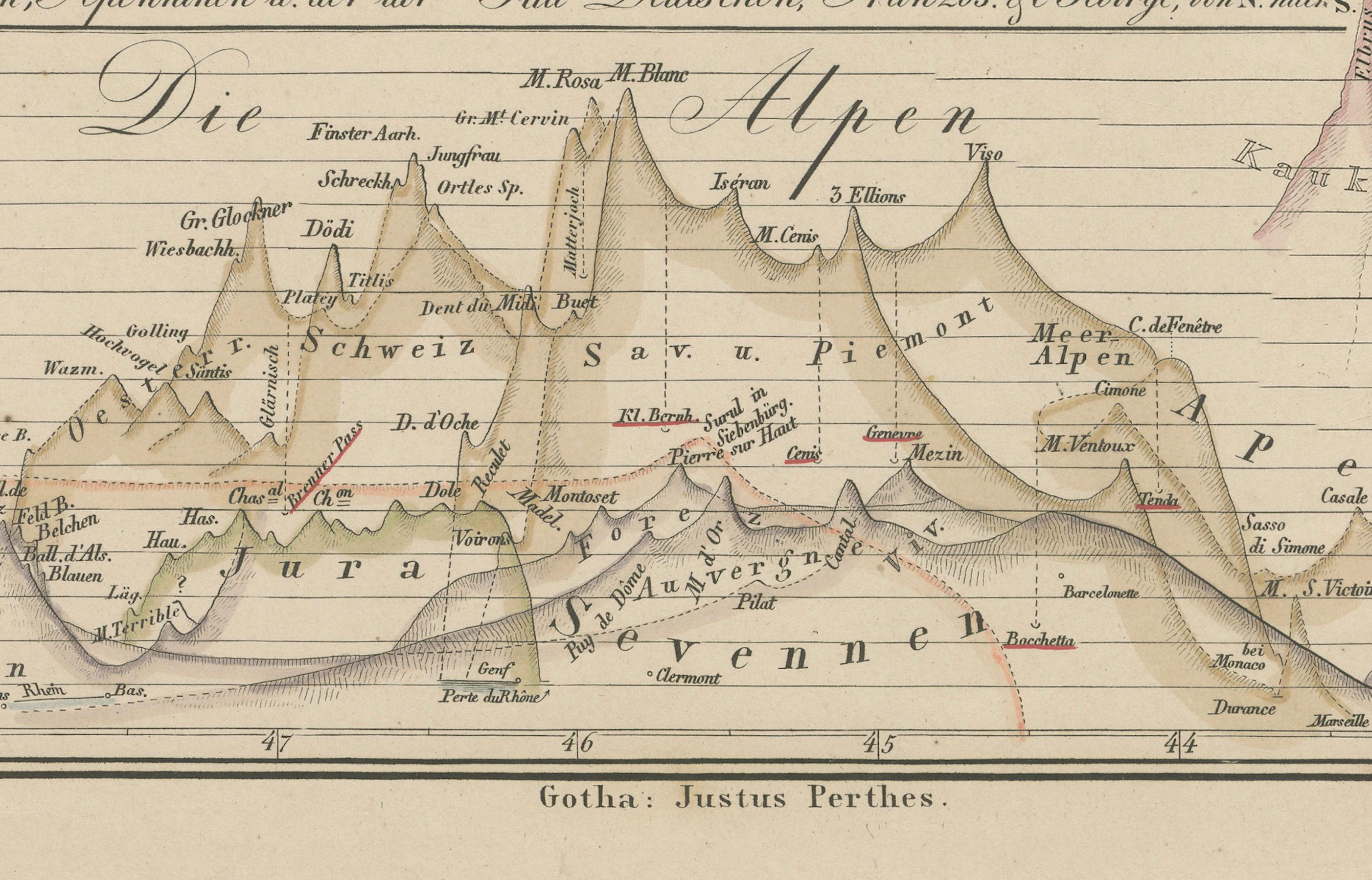
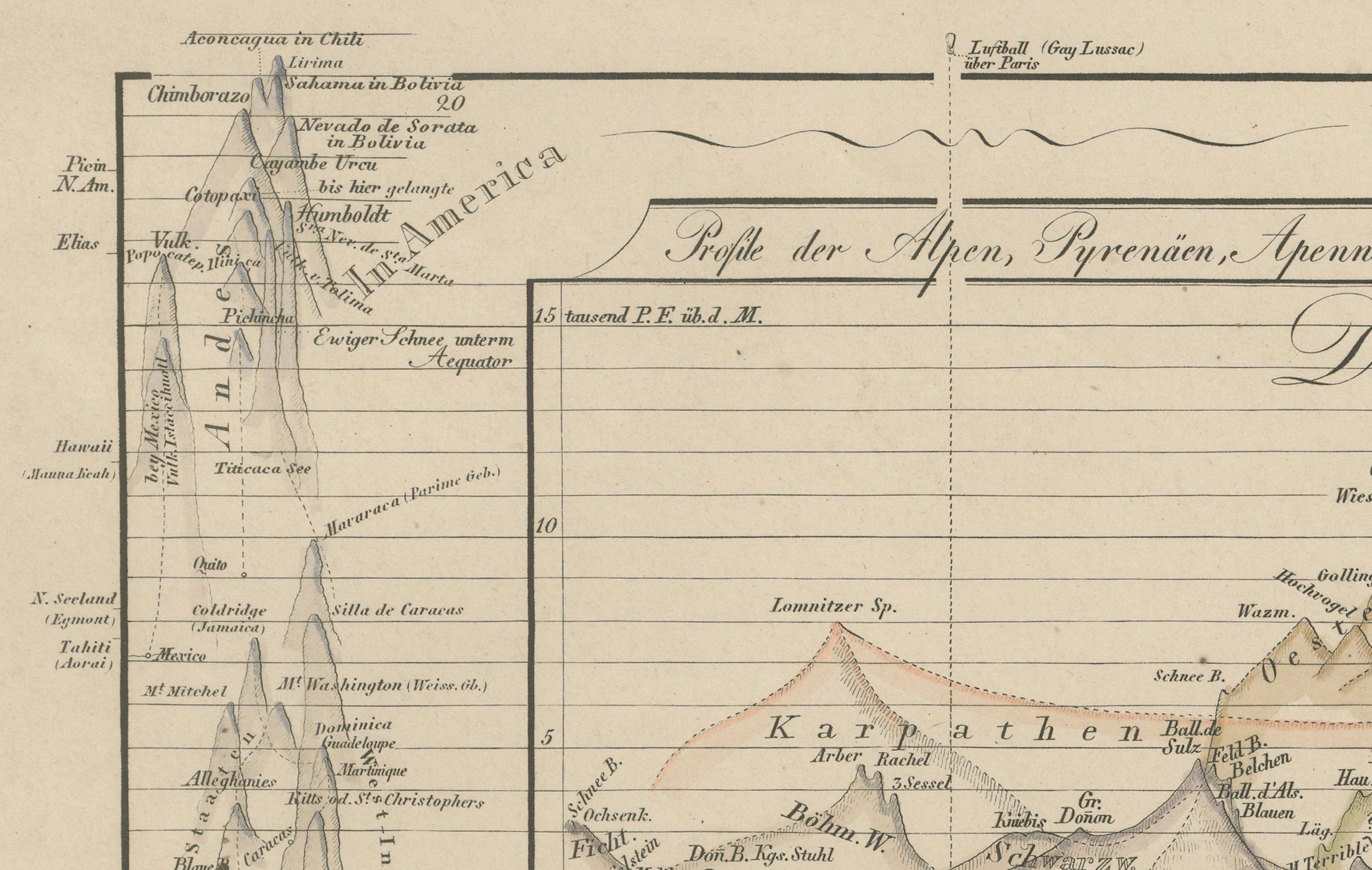
– Top: Profile of the Alps from Northern Germany to Southern Italy, showing major peaks such as Mont Blanc, Monte Rosa, and the Jungfrau, with elevations marked precisely. – Middle: Profile of the Swiss Alps and neighbouring ranges with detailed annotations of peaks and valleys. – Bottom: Comparative profiles of non-European mountains including the Andes in South America and African peaks, alongside further Alpine and Pyrenean elevations.
Published in 1857 by Justus Perthes in Gotha as part of Adolf Stieler’s famous Hand-Atlas, these engravings were prepared under the editorial supervision of Heinrich Berghaus, known for his scientific cartography and thematic maps.
This print is significant for its scientific presentation of global mountain heights during a period when comparative geography and natural sciences were advancing rapidly. Such profiles allowed scholars and travellers to visualise and understand altitudinal differences between European mountains and other world ranges, enhancing education in physical geography.
Technique: Copperplate engraving with original hand colouring to highlight elevation contours and mountain shapes. German titles and detailed annotations are engraved with exceptional clarity.
Condition summary: Excellent condition with minimal toning, no tears, repairs, or significant foxing. Colours remain clear and fresh. Paper is firm and stable.
Framing tips: This elevation profile engraving will look impressive in a dark wood or black frame to emphasise its scientific detail, paired with a wide cream or light ivory mount to soften and balance the presentation. UV-protective glass is recommended to preserve its fine engraved lines and original colour clarity for long-term display.