Large Antique Map of Texas with Panhandle & Bay Inset Maps, Colton, 1873
€ 730
Original antique · The actual sheet photographed · Certificate of authenticity on request · Sold unframed · Worldwide shipping from € 15 (rates)
Date
1873
Sheet size
44.5 × 70.1 cm (17.5 × 27.6 in)
Condition
Good
Reference
BG-14112
What the condition grades mean
Excellent
Bright and clean, with no faults worth mentioning.
Very good
Only light signs of age, such as faint toning.
Good
Normal signs of age for a sheet of this period: toning, some foxing, small marks or neat old repairs.
Fair
Clear faults such as staining, tears or repairs, priced to match.
Every fault we see is written in the condition note, and the whole sheet is shown uncropped in the photos.
Condition
Original hand color. Light toning along edges with a few minor chips at top and bottom. A couple of short edge tears have been archivally repaired. Trimmed close to the lower border by the binder but not affecting image or title. Centerfold as issued.
About this sheet
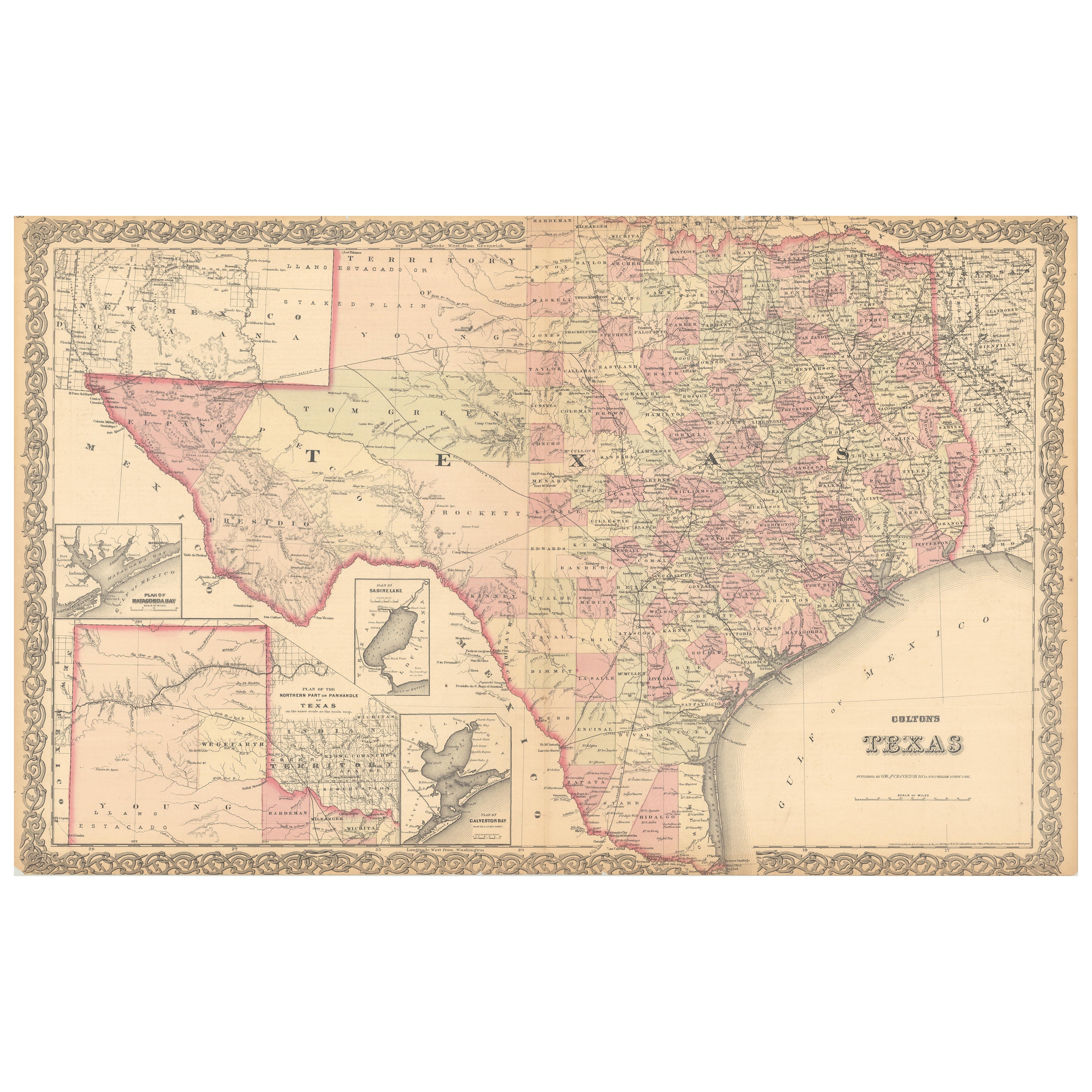
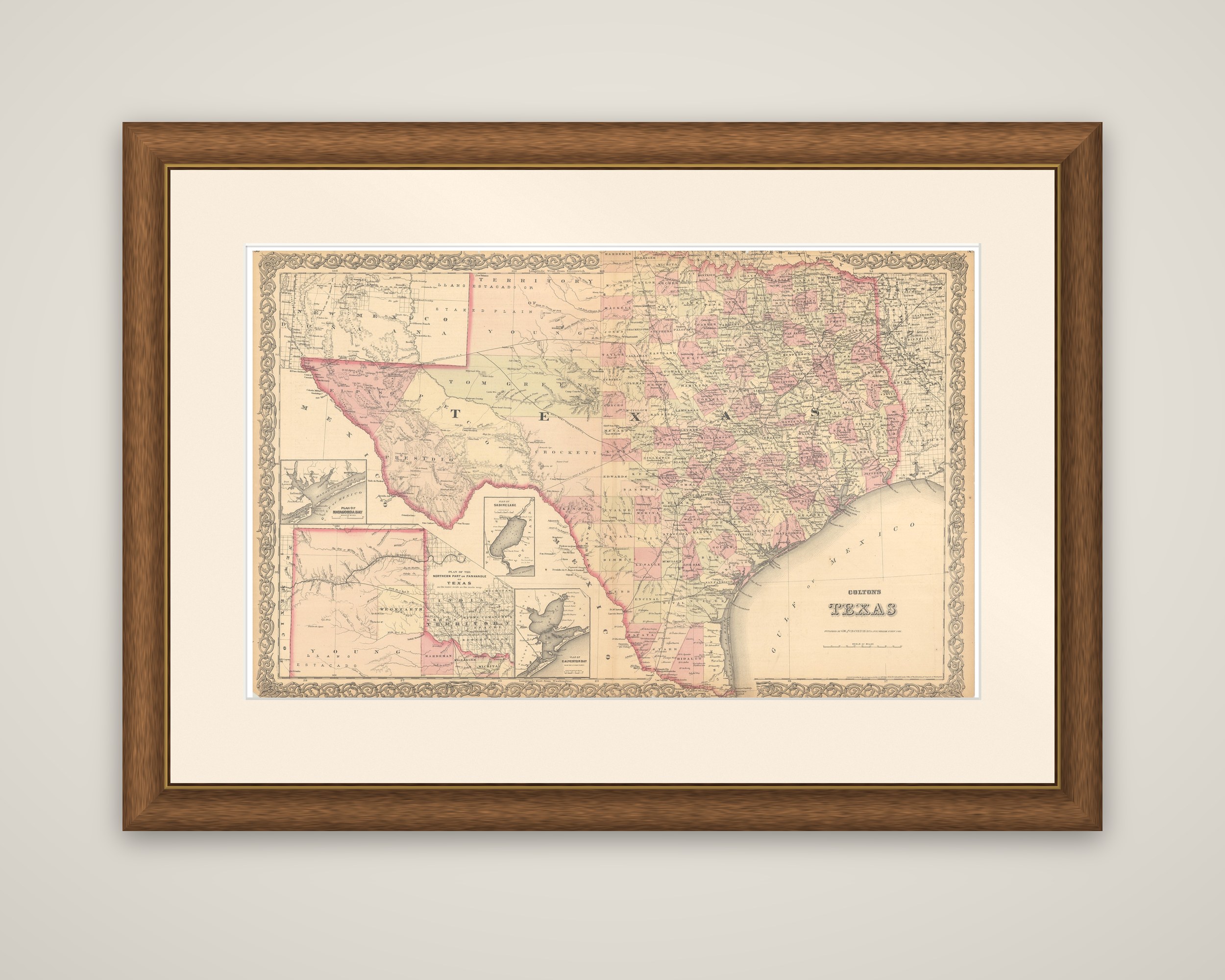
Colton's Texas, an original lithographed state map with original hand color, published in New York by G.W. & C.B. Colton and dated 1873. The map is titled "Colton's Texas" in the lower right, within the firm's familiar border of interlaced scrollwork.
The sheet is a double-page map of the state, printed on two joined halves. East and central Texas is densely divided into counties, each tinted in pink, yellow or green, while the west and southwest still show large tracts such as Presidio, El Paso and Pecos, and the western part of the state is mostly open. Railroads, forts, post offices, roads, rivers and springs are marked across the sheet. The neighboring states and territories appear at the margins, with New Mexico and the Indian Territory in the upper left and Mexico along the border at the south.
Four insets give detail on the coast and frontier: a large "Plan of the Northern Part or Panhandle of Texas," a plan of Galveston Bay from the U.S. Coast Survey, a plan of Matagorda Bay and a plan of Sabine Lake.
Colton's atlas maps were among the most widely used American state maps of the 1870s, and this one records Texas as the railroad network and county organization expanded after the Civil War.