About this sheet
Antique Map of Europe – Political Divisions by Andriveau-Goujon, Paris 1861
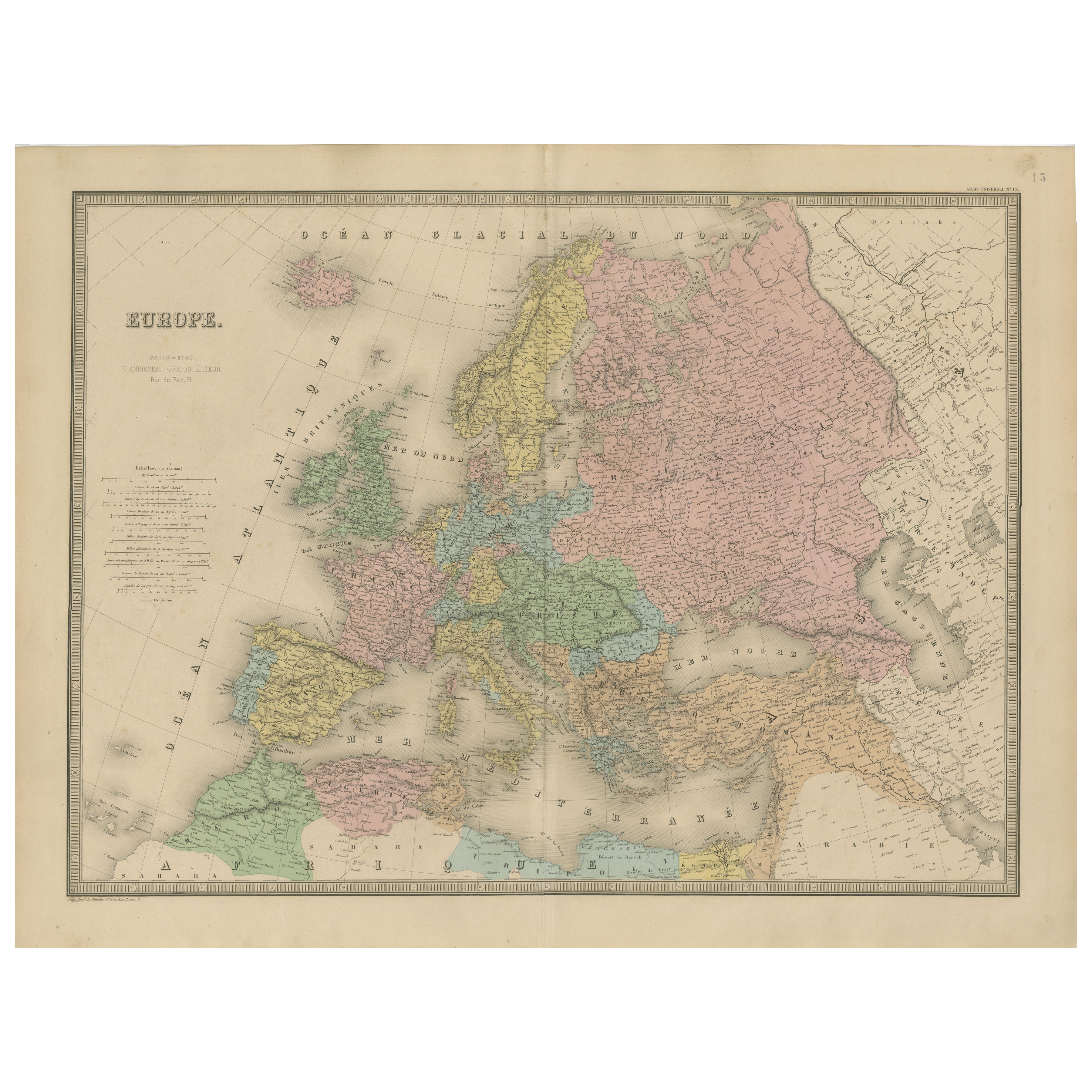
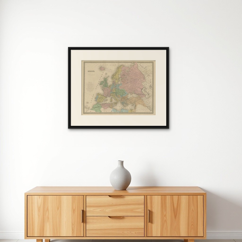
This beautifully engraved and hand-colored antique map of Europe was published in 1861 by the Parisian cartographer E. Andriveau-Goujon. Titled simply “Europe,” the map was part of the Atlas Universel and presents the political boundaries of the European continent in the mid-19th century—a period of significant change, just a decade before the unifications of Germany and Italy.
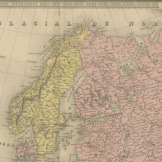
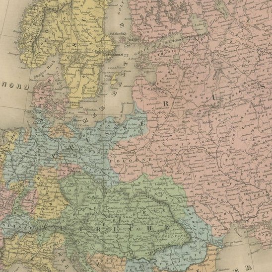
The map displays the entire European continent from the Atlantic Ocean to the Ural Mountains, including Iceland, parts of the Middle East, and North Africa. Each country is delicately colored in a pastel palette to distinguish political boundaries. The map reflects the historical configuration of Europe before the major geopolitical changes of the late 19th century. Notable historical features include the large expanse of the Russian Empire in pink, the German Confederation with its fragmented principalities, the Kingdom of Prussia, the Austrian Empire, and the still-unified Scandinavian kingdoms.
France is shaded in pink, Italy appears divided into pre-unification states, and the Ottoman Empire stretches across the Balkans and Anatolia, shaded in sandy brown. The map includes an elegant key to symbols on the left side of the sheet, indicating various capital cities, large and small towns, ports, and fortresses. Longitude is measured from the Paris meridian.
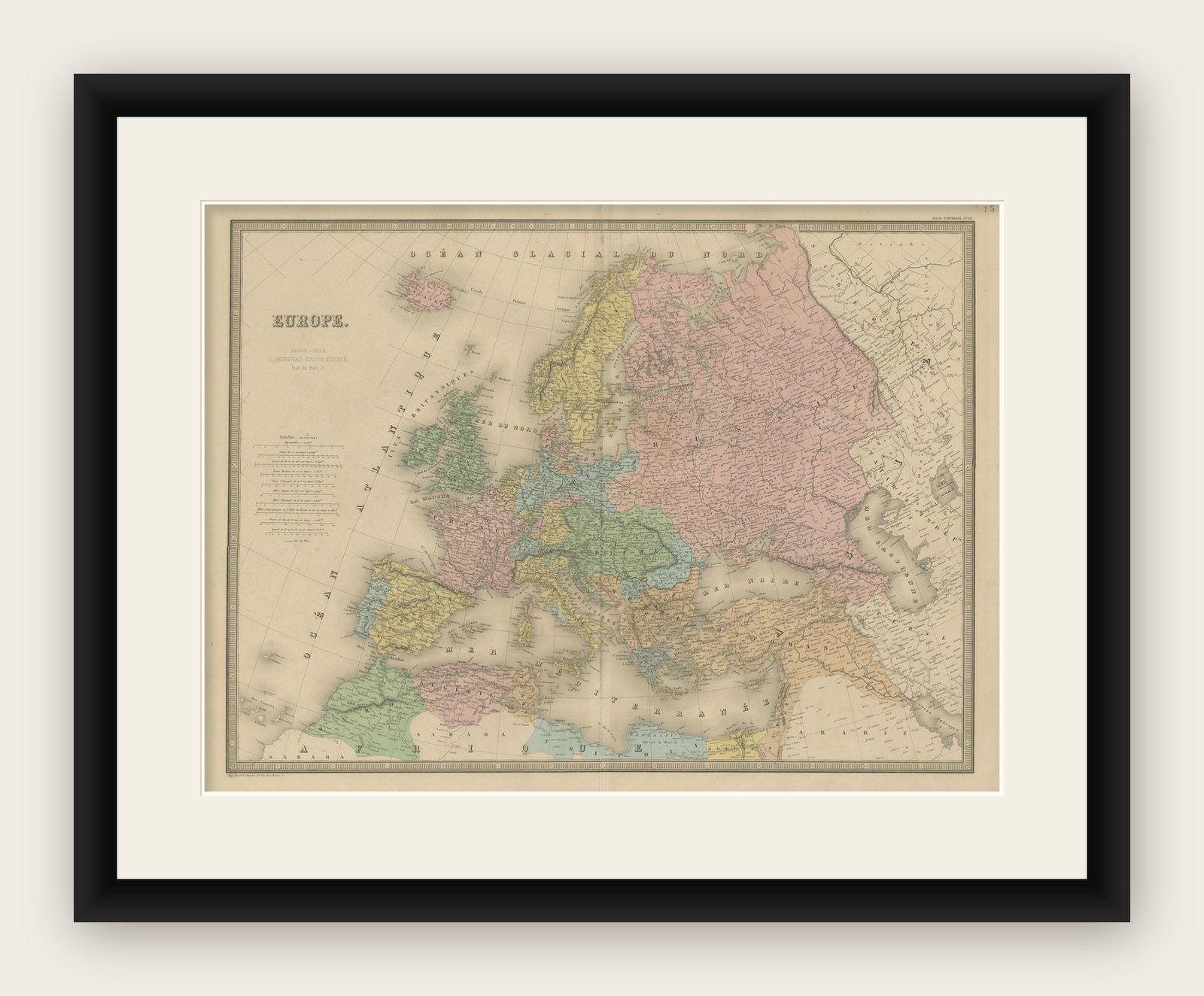
The map is bordered by a finely engraved decorative frame and printed on thick paper with wide margins, ideal for framing. It is an excellent reference piece for understanding European political geography on the eve of profound national transformations.
This piece is both a beautiful decorative artifact and a valuable document of mid-19th-century European political history—highly appealing for collectors, educators, and interior decorators.
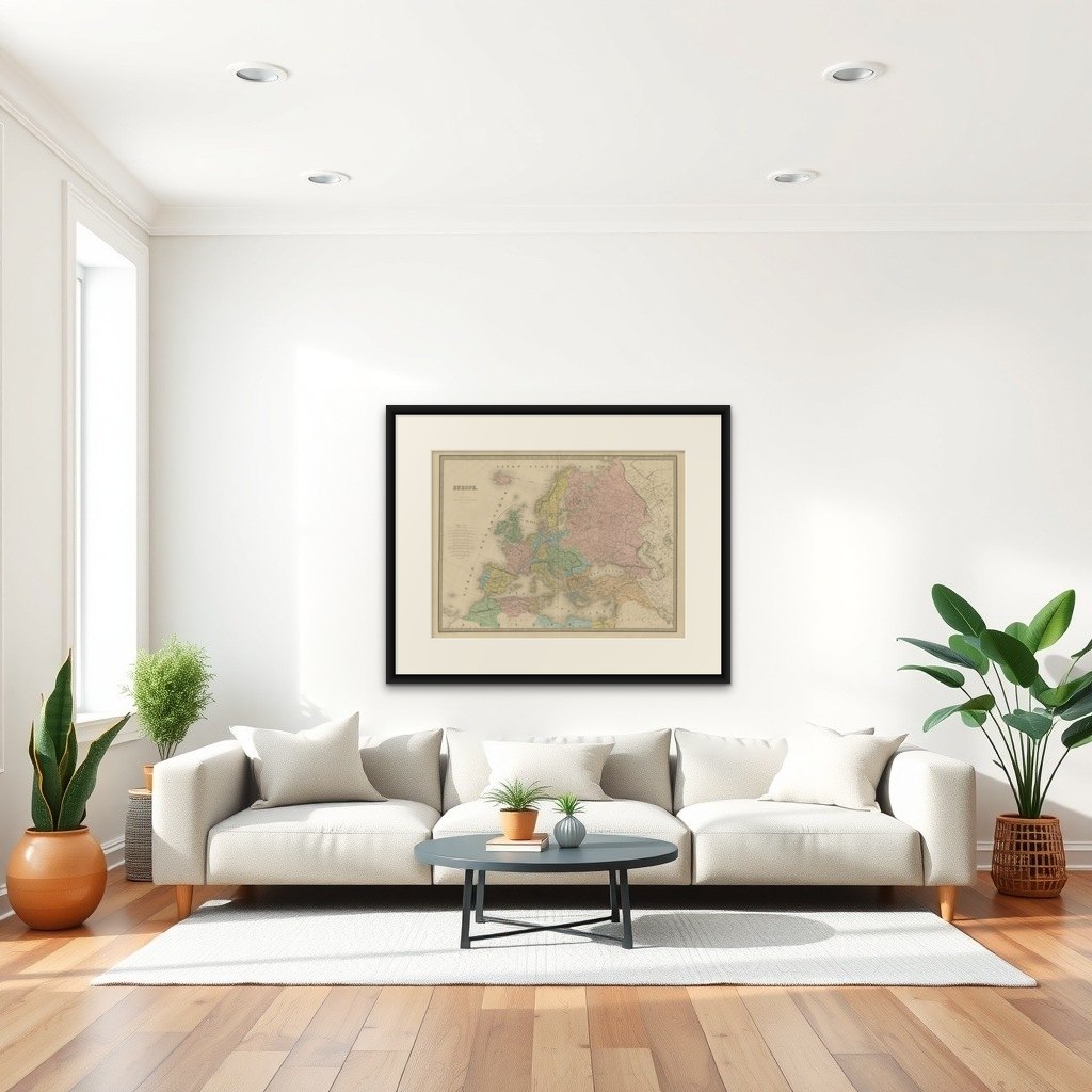
Framing tips: A wide ivory or pale taupe mat with a classic black or dark wood frame will best enhance the delicate pastel tones and fine engraved lines. Ideal for a study, library, or office setting.