
Maps & PrintsBartele Gallery · Langweer
Home / Antique Maps / Europe / Western Europe / France

France · 19th century

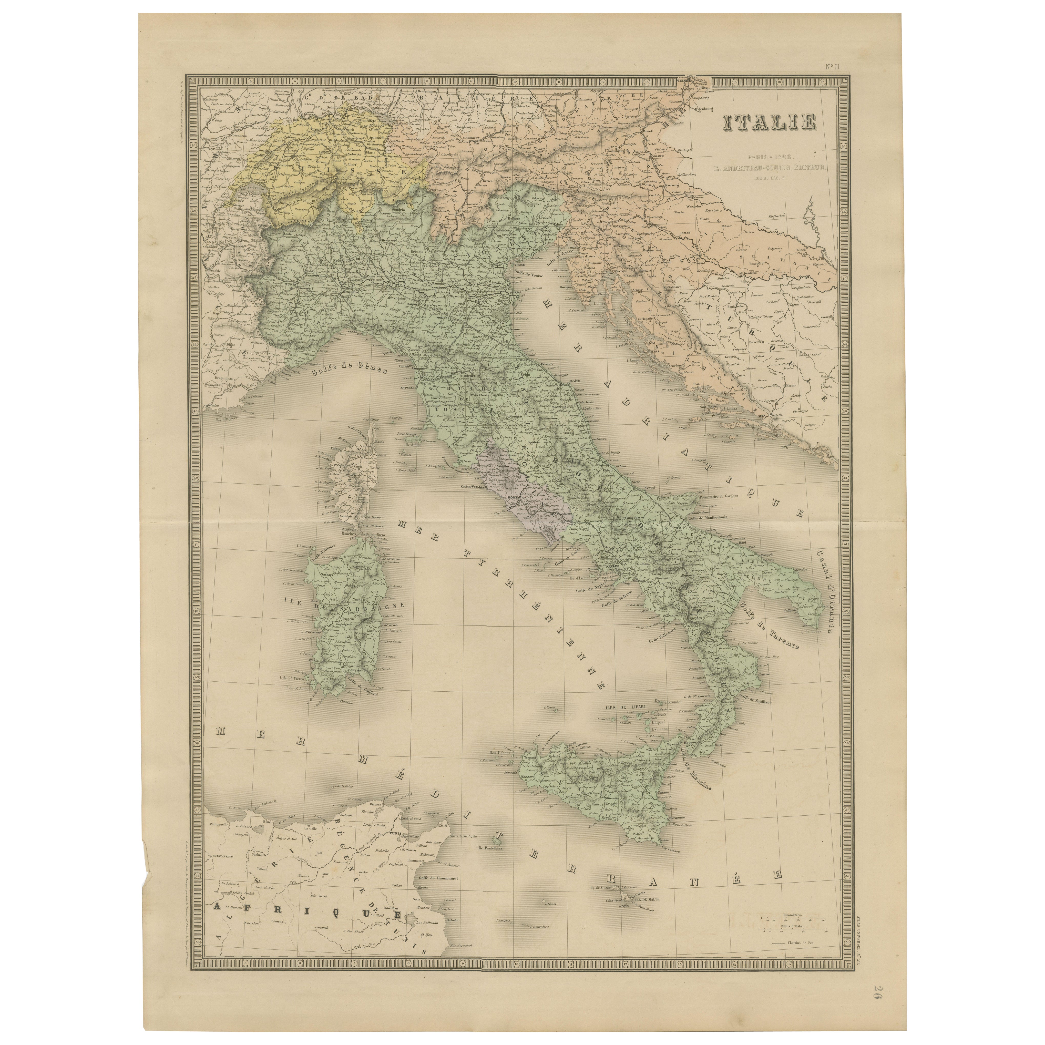
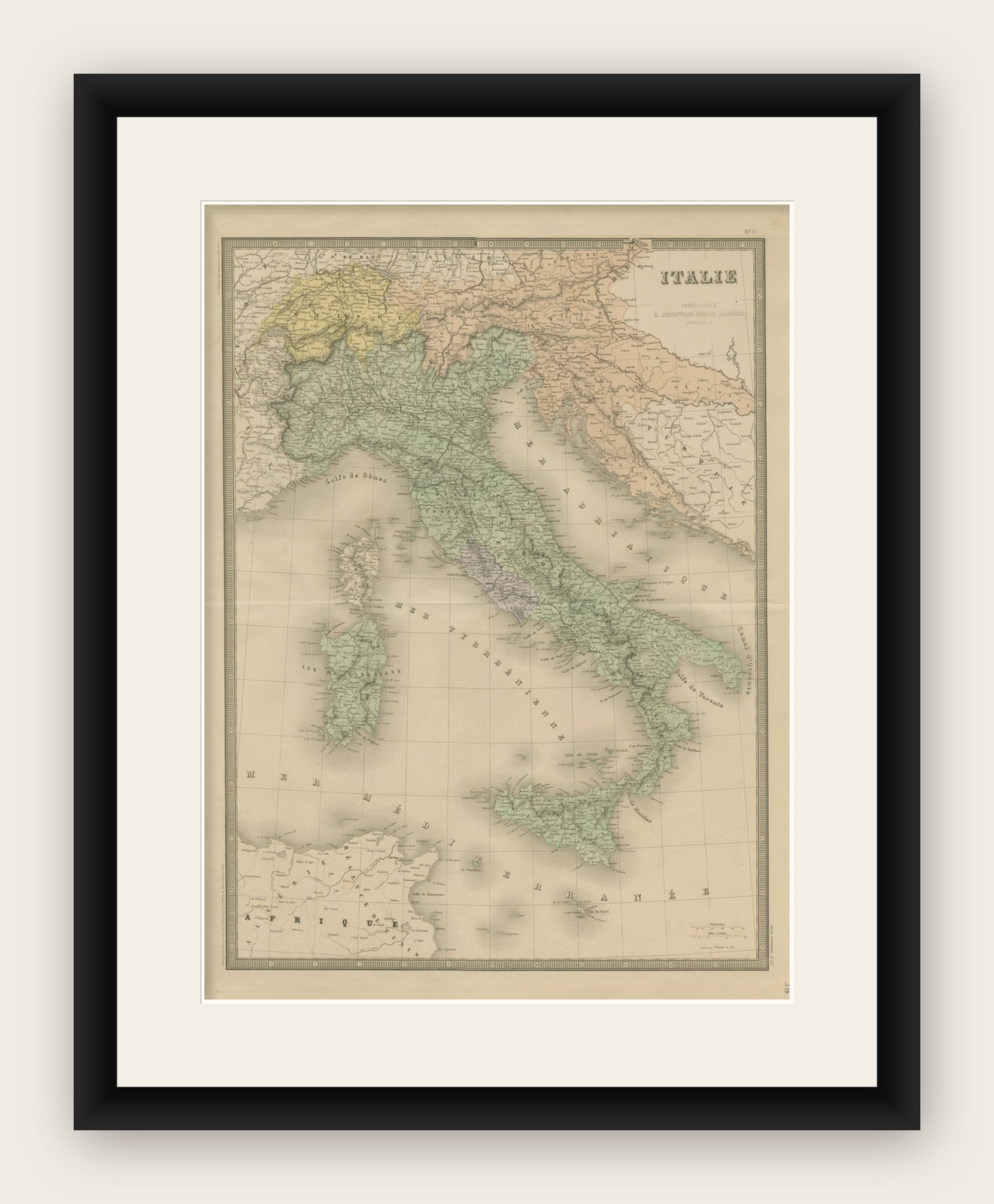
Antique Map of Italy – Pre-Unification Italy by Andriveau-Goujon, Paris 1861

€ 390

Original antique · The actual sheet photographed · Certificate of authenticity on request · Sold unframed · Worldwide shipping from € 15 (rates)

Date
1861
Mapmaker / artist
E. Andriveau-Goujon, Paris, 1861
Technique
Engraving with original hand coloring
Sheet size
70.2 × 53.1 cm (27.6 × 20.9 in)
Reference
BG-14099-6
What the condition grades mean
Excellent
Bright and clean, with no faults worth mentioning.
Very good
Only light signs of age, such as faint toning.
Good
Normal signs of age for a sheet of this period: toning, some foxing, small marks or neat old repairs.
Fair
Clear faults such as staining, tears or repairs, priced to match.

Every fault we see is written in the condition note, and the whole sheet is shown uncropped in the photos.

Condition

Very good condition. Slight toning around the edges and minimal foxing in the margins. Original centerfold as issued. Bright original coloring. Plate number “11” appears in the top right corner.
About this sheet

Antique Map of Italy – Pre-Unification Italy by Andriveau-Goujon, Paris 1861

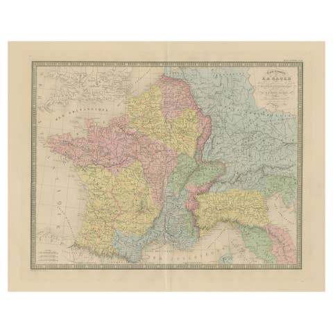
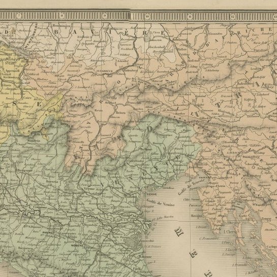
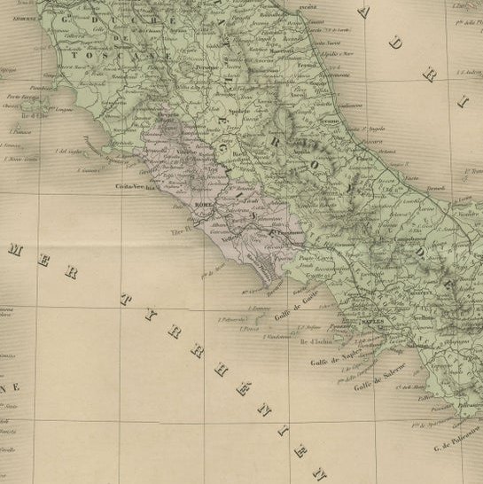
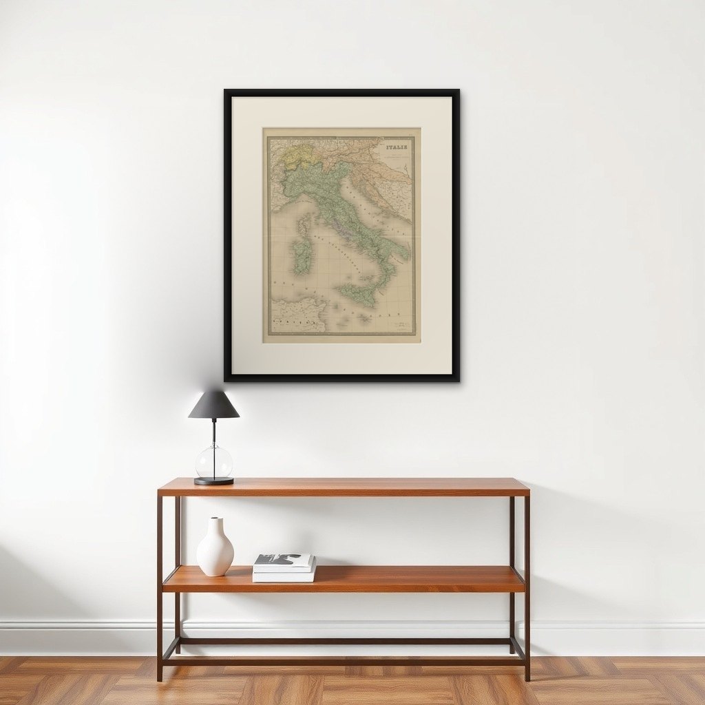
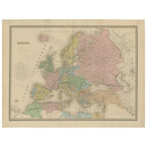
This antique map of Italy, titled simply “Italie,” was published in Paris in 1861 by E. Andriveau-Goujon as plate no. 11 in his Atlas Universel. The map captures the Italian Peninsula and its surrounding islands just as Italy was undergoing unification, making it a compelling historical document of the fragmented political landscape that preceded the formation of the modern Italian state.

The map shows the entire Italian Peninsula, from the Alps in the north to the tip of Sicily in the south, including Corsica, Sardinia, Elba, and the coastal regions of Dalmatia and North Africa. It reflects the pre-unification borders, with the Italian states still divided among the Kingdom of Sardinia (including Piedmont and Sardinia), the Austrian-controlled Lombardy-Venetia in yellow, the Grand Duchy of Tuscany, the Papal States in central Italy, and the Kingdom of the Two Sicilies in the south. Each political entity is delicately shaded in pastel tones, offering a clear depiction of the regional divisions of the time.

Major cities such as Milan, Venice, Florence, Rome, Naples, Palermo, and Turin are clearly marked, alongside smaller towns, rivers, and transport routes. The Adriatic and Tyrrhenian coasts are well defined, and the surrounding Mediterranean context adds both geographic and visual interest.

This map was engraved and hand-colored with precision, featuring a decorative border and fine cartographic detail typical of Andriveau-Goujon's high-quality publications. Issued at a pivotal time in European history, it stands as both a beautiful piece of cartography and an important record of Italy before its unification was completed in the 1860s.

Framing tips: Best displayed in a classic black or gold frame with a light ivory or cream mat. A secondary inner mat in olive green or soft red can complement the tones of the Italian territories.

More from France

Ask about this sheet

Antique Map of Italy – Pre-Unification Italy by Andriveau-Goujon, Paris 1861
1861 · Ref. BG-14099-6 · € 390
We reply by email, usually within one working day.

Your favorites

Saved in this browser. Email the list to yourself to keep it on any device.

We use your email to send this list and, only if you tick the box and confirm, for occasional new arrivals. Every email has an unsubscribe link. Bartele Gallery, the Netherlands.