About this sheet
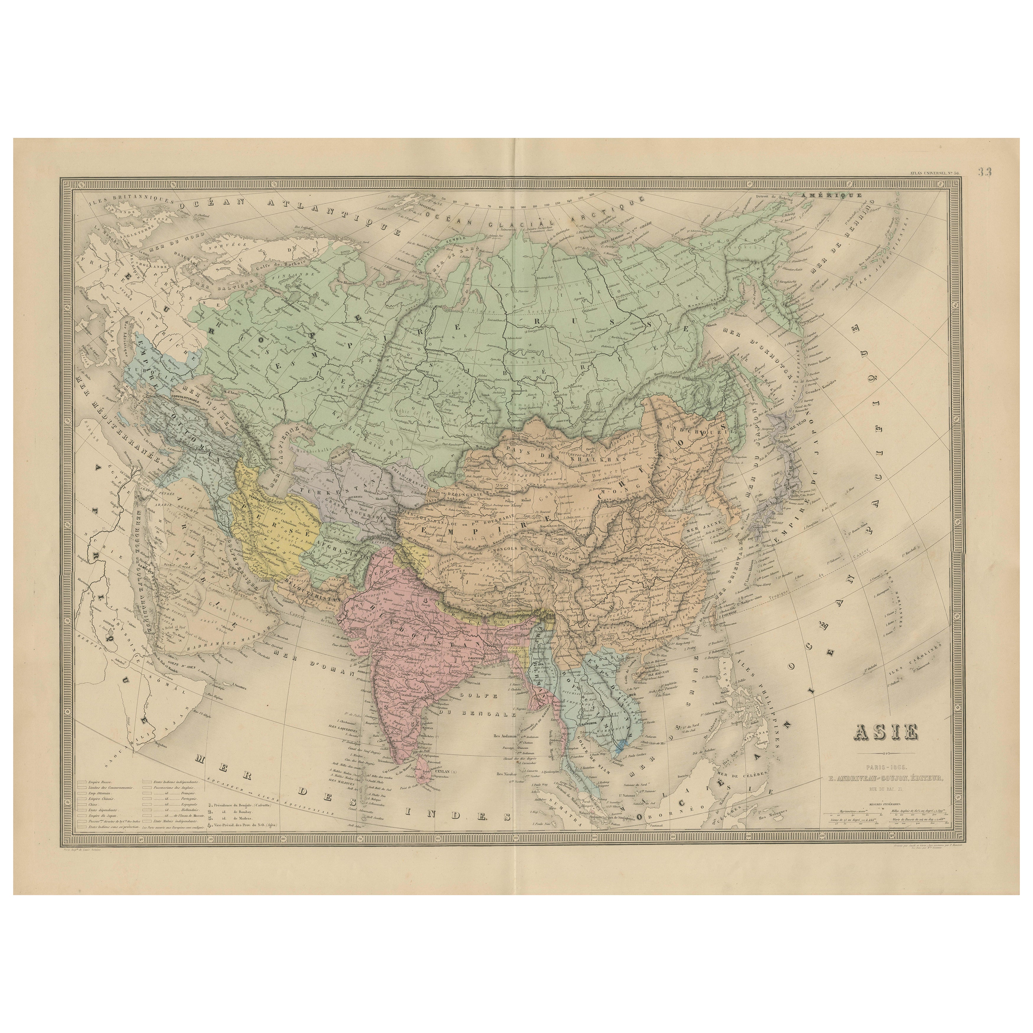
Antique Map of Asia – Andriveau-Goujon, Paris 1865
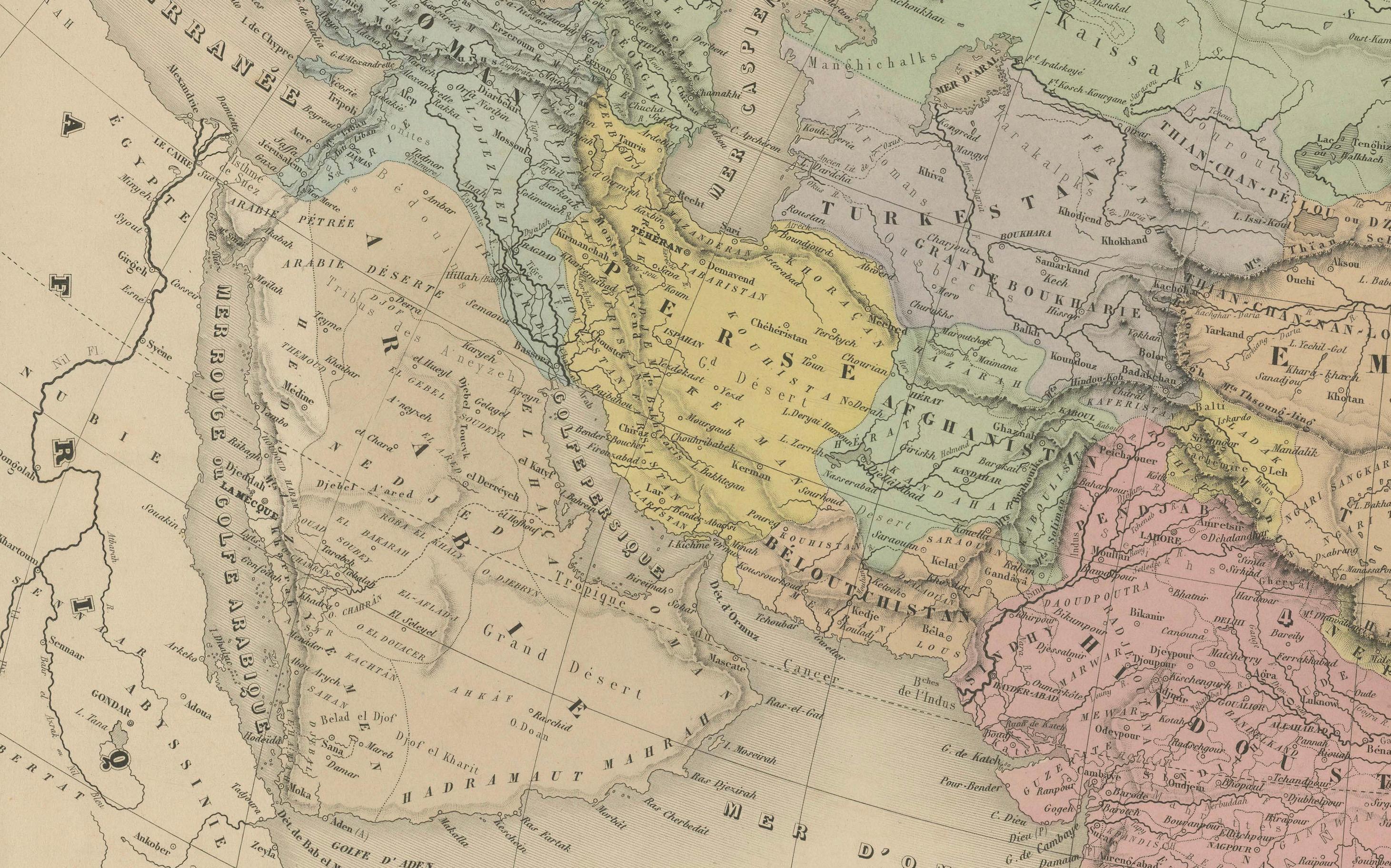
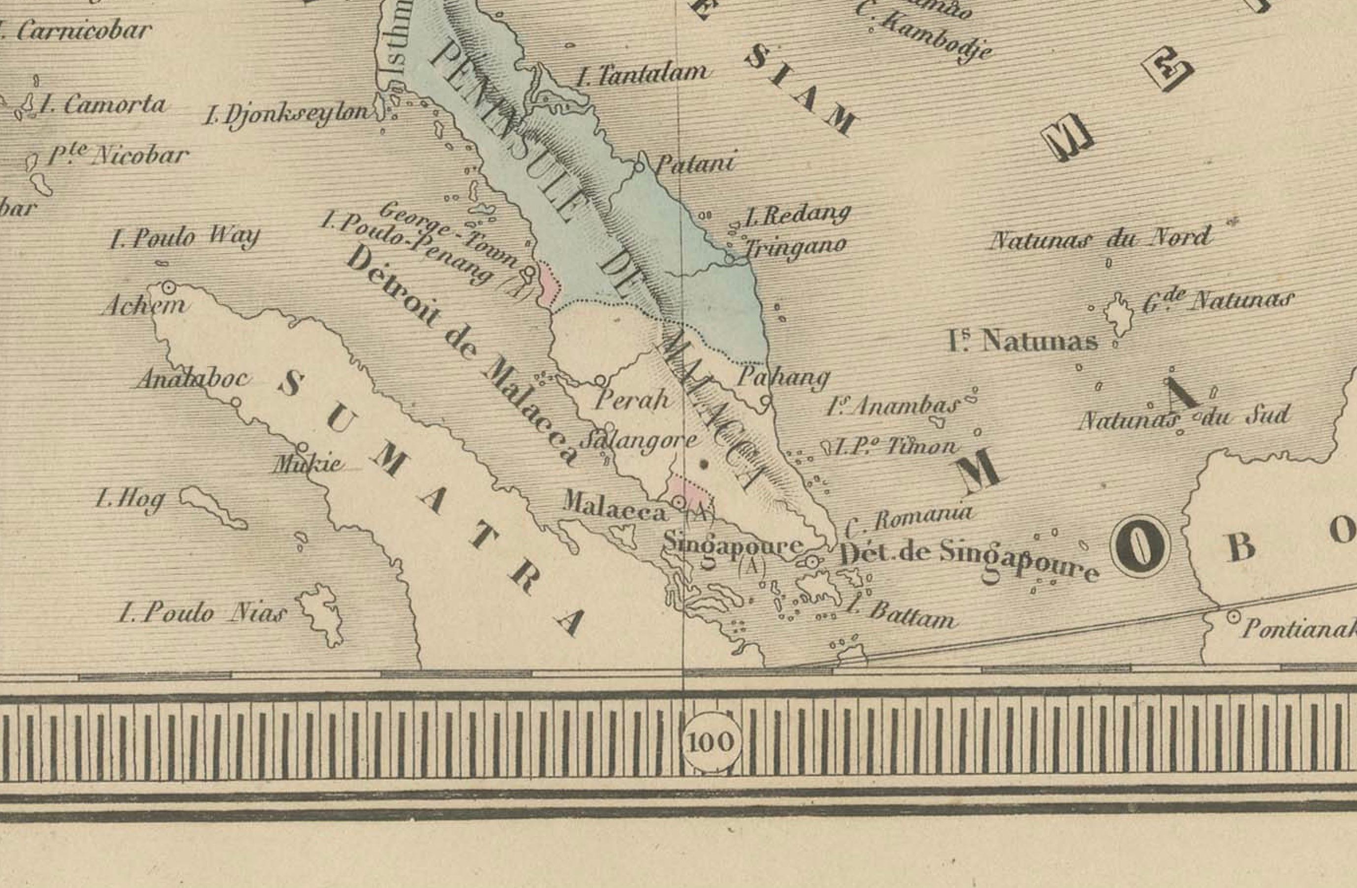
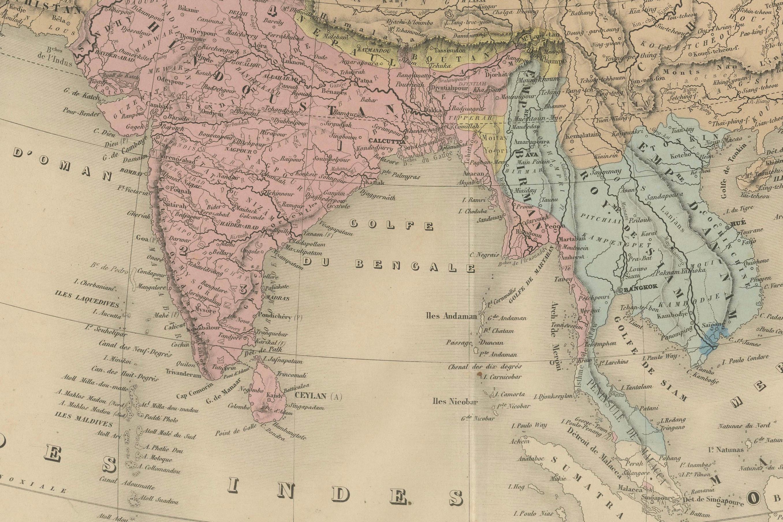
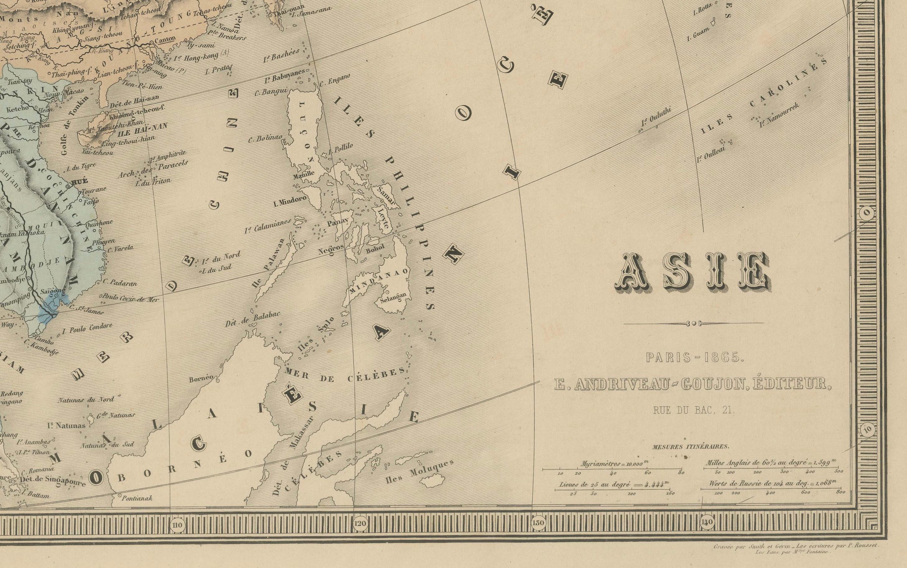
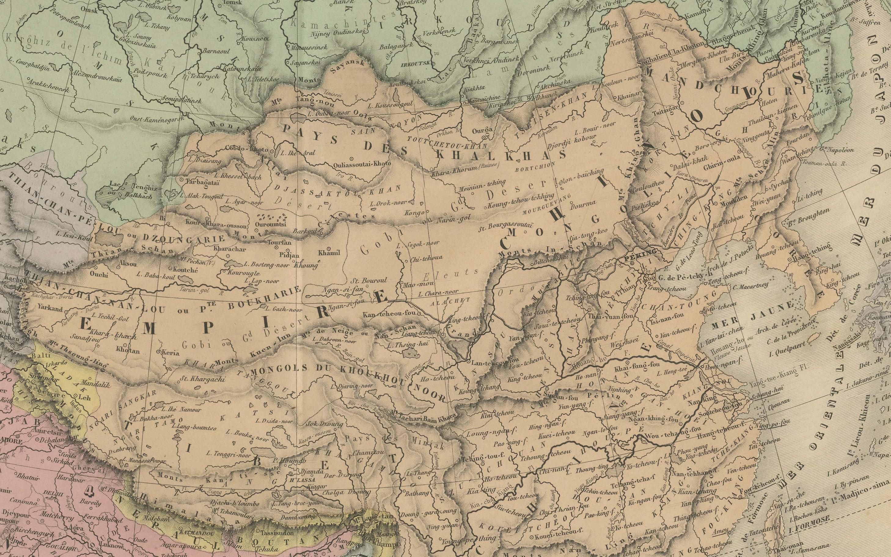
This large and finely engraved antique map titled “Asie” was published in Paris in 1865 by the prominent French cartographer E. Andriveau-Goujon. Issued as plate number 33 from the *Atlas Universel*, it presents the continent of Asia in its entirety, extending from the Mediterranean and Middle East to the Pacific Ocean, and from the Arctic Ocean down to the islands of Southeast Asia and the Indian Ocean.
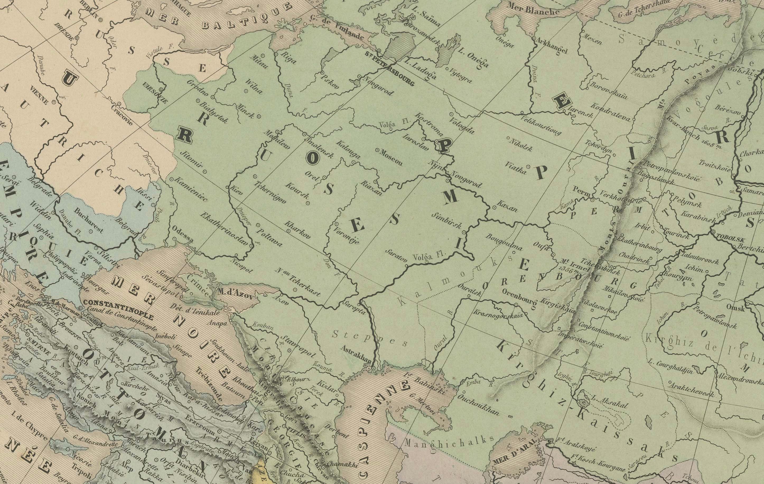
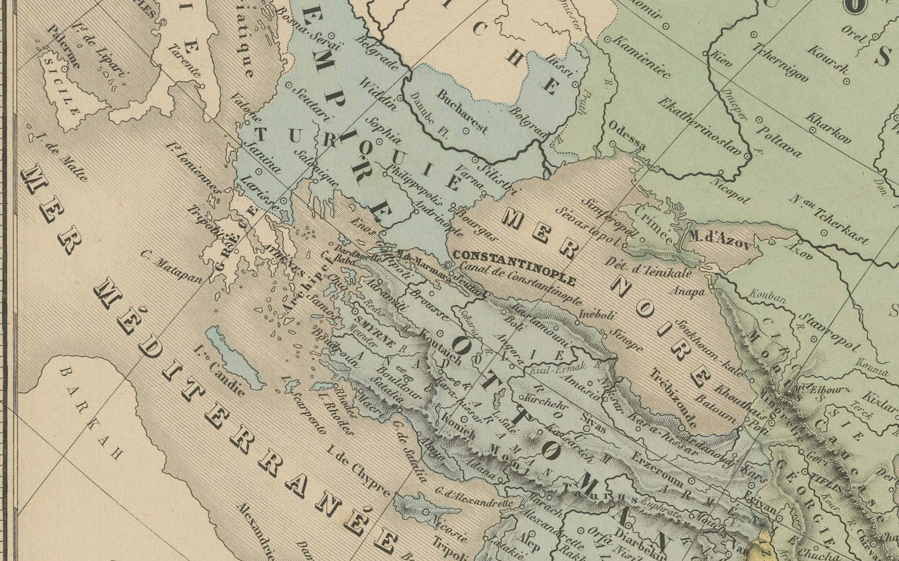
The map shows the vast expanse of Asia divided into major regions and empires of the time. The Russian Empire dominates the north, shaded in light green, stretching across Siberia and into Central Asia. China is clearly outlined and labeled as “Empire de la Chine,” while India, shown in pink, is marked as “Empire de l’Inde,” reflecting its status under British colonial control. Other territories such as Persia (Iran), the Ottoman provinces in Asia, Afghanistan, Siam (Thailand), Korea, and Japan are distinctly marked and shaded.
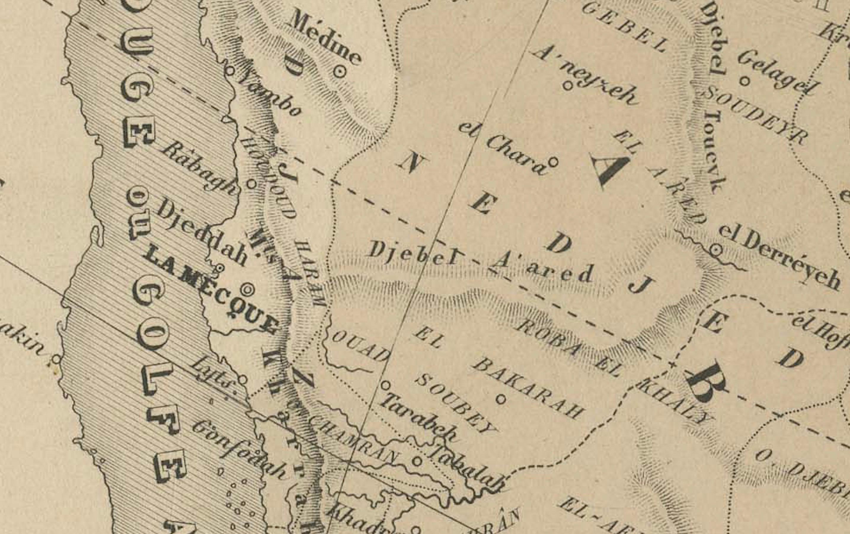
Major cities including Peking (Beijing), Calcutta, Bombay, Delhi, Kabul, Mecca, Tehran, Tokyo (referred to as Yedo), and others are labeled. Mountain ranges, deserts, river systems, and key trade routes are finely engraved, adding geographical depth to the political boundaries.
A legend in the lower left corner explains the color-coding of empires and political entities, as well as the symbols for capitals, fortresses, ports, and trade centers. This map reflects the geopolitical landscape of Asia during a period of colonial expansion, imperial rivalry, and increased European interest in Asia’s strategic and commercial importance.
Condition: Very good condition. Original centerfold as issued. Light age toning and minimal foxing to the margins. Strong impression with well-preserved original hand coloring. Plate number 33 in upper right.
Framing tips: Best presented in a dark wood or black frame with a wide ivory mat. A secondary mat in soft green or gold can enhance the pastel tones and period character.
Technique: Engraving with original hand coloring
Maker: E. Andriveau-Goujon, Paris, 1865