About this sheet
Antique Map of California – Railroads, Cities & Counties, 1888
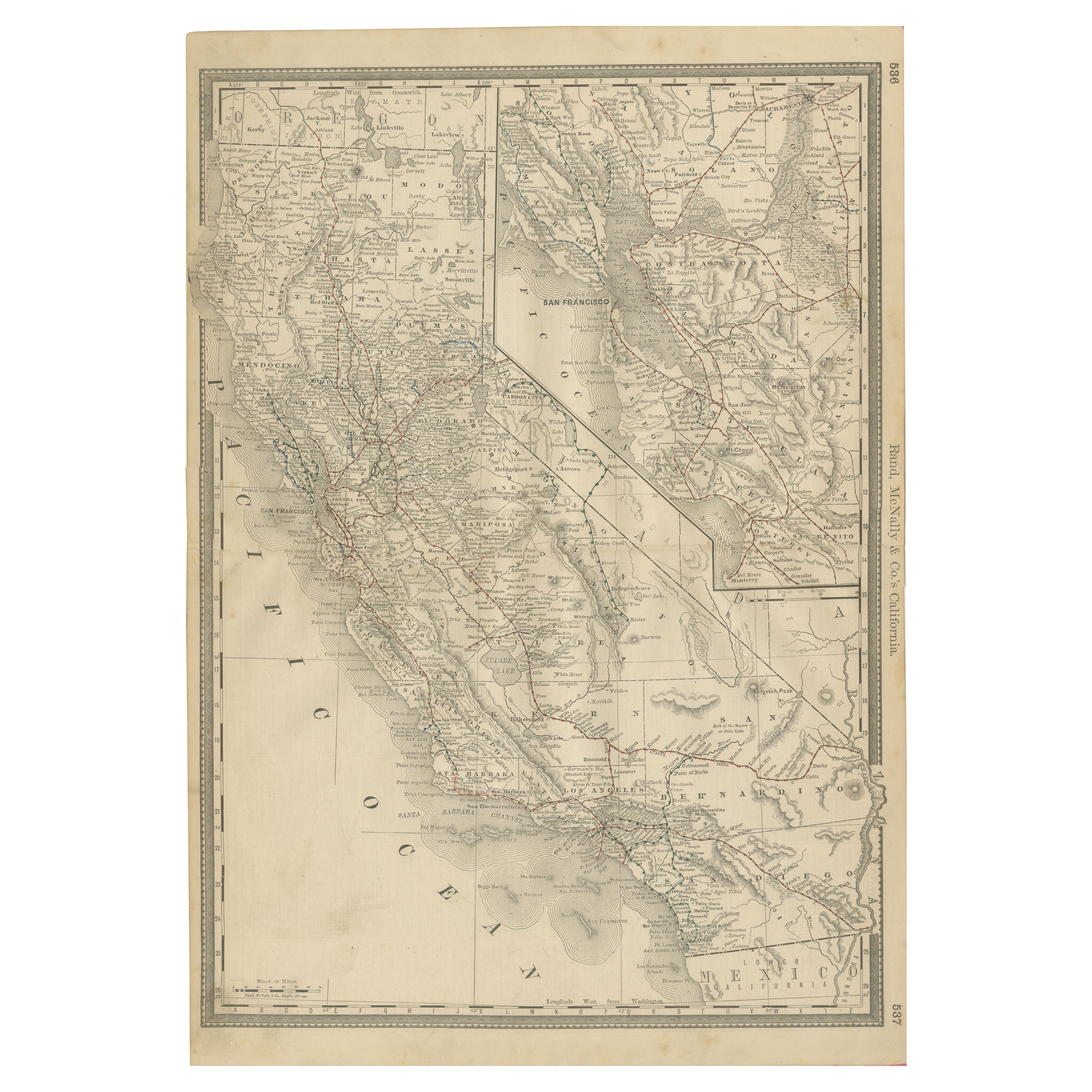
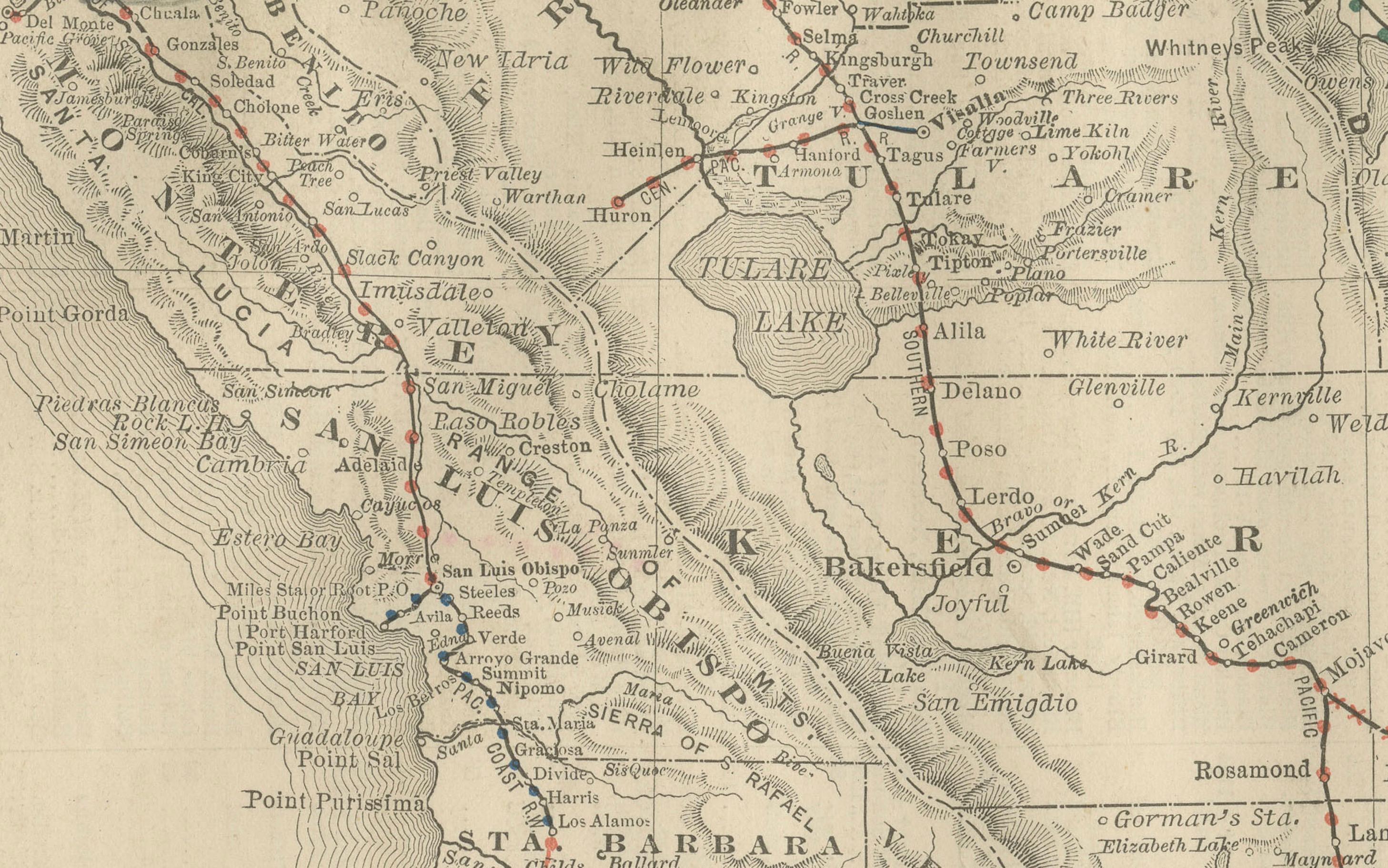
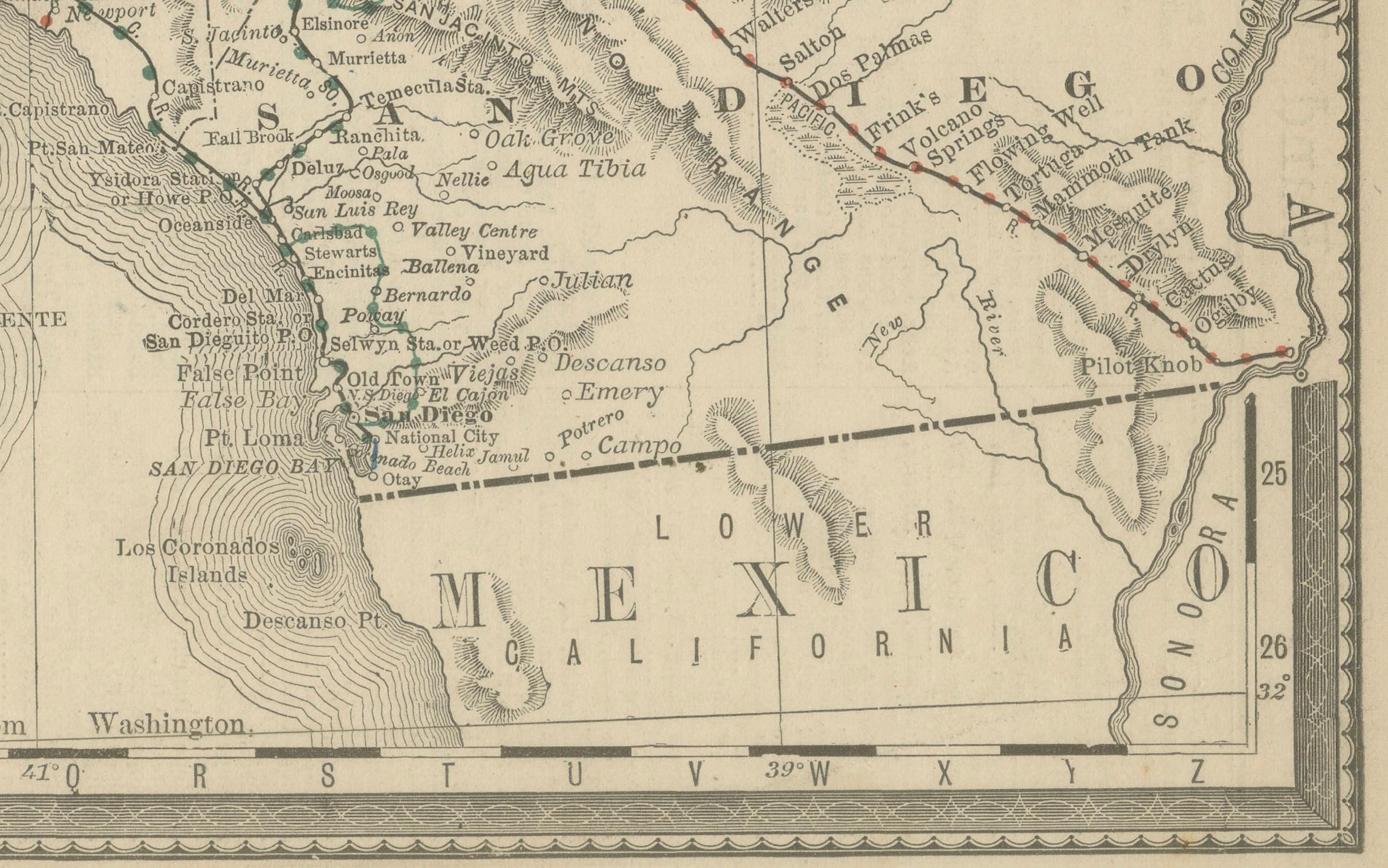
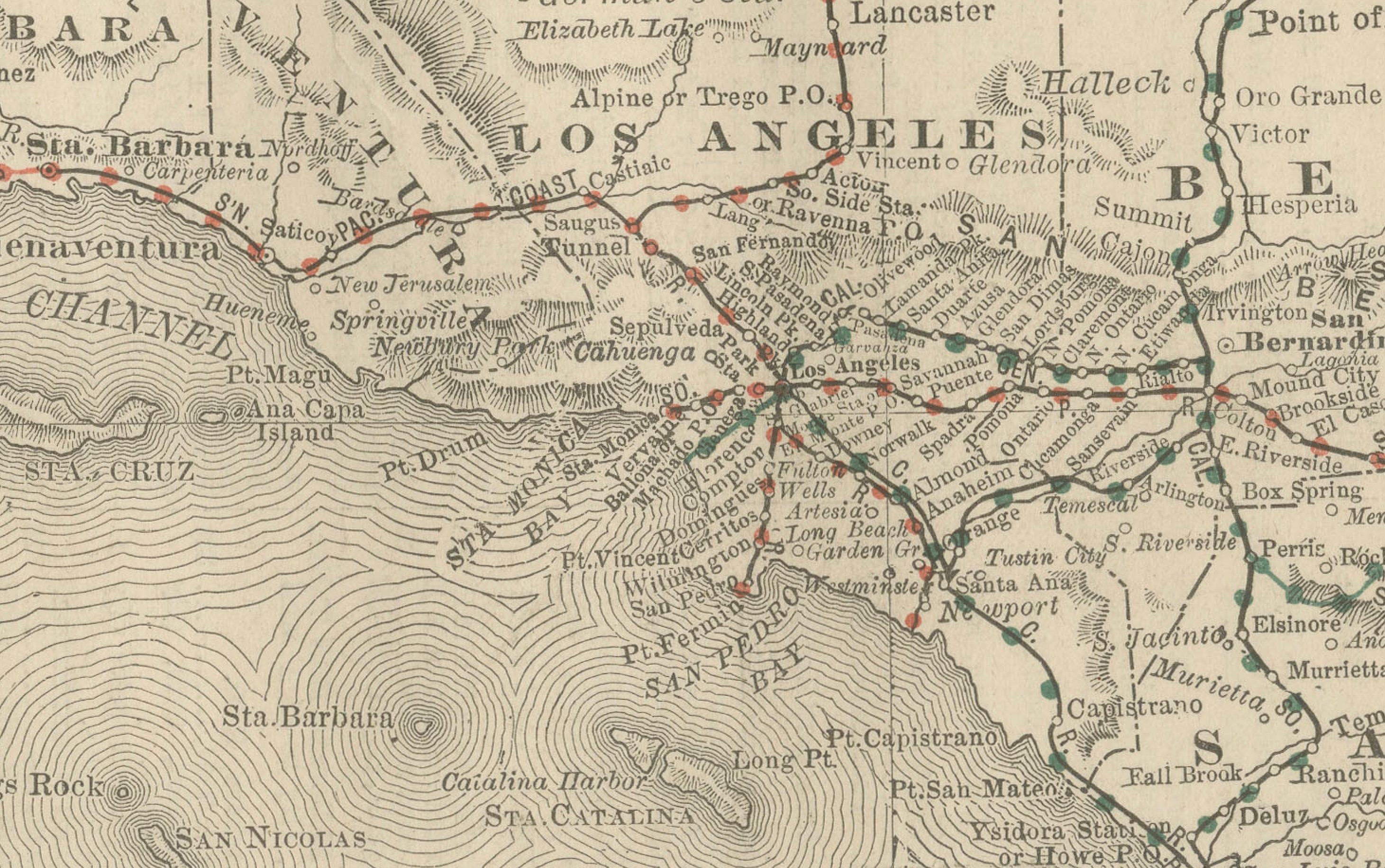
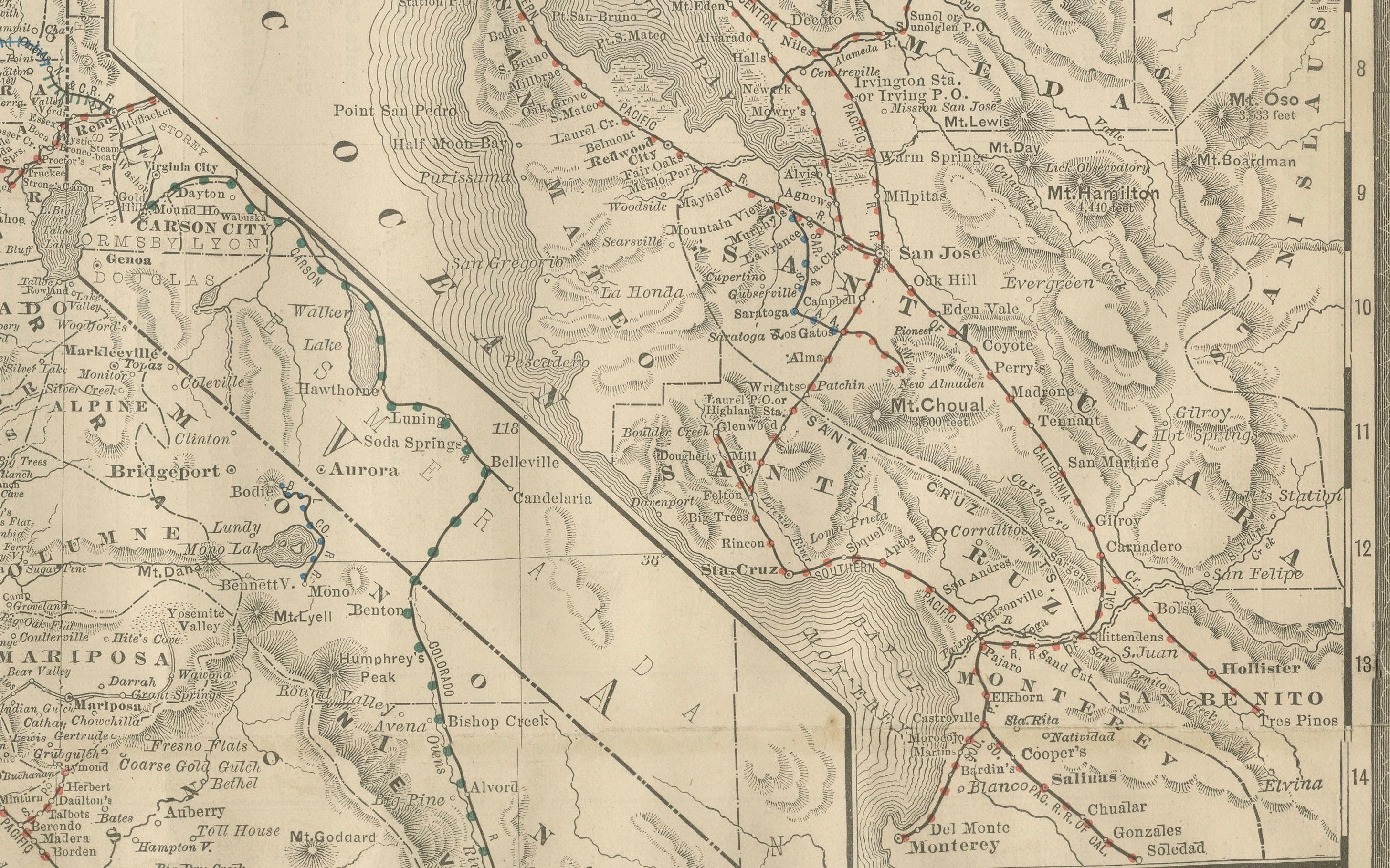
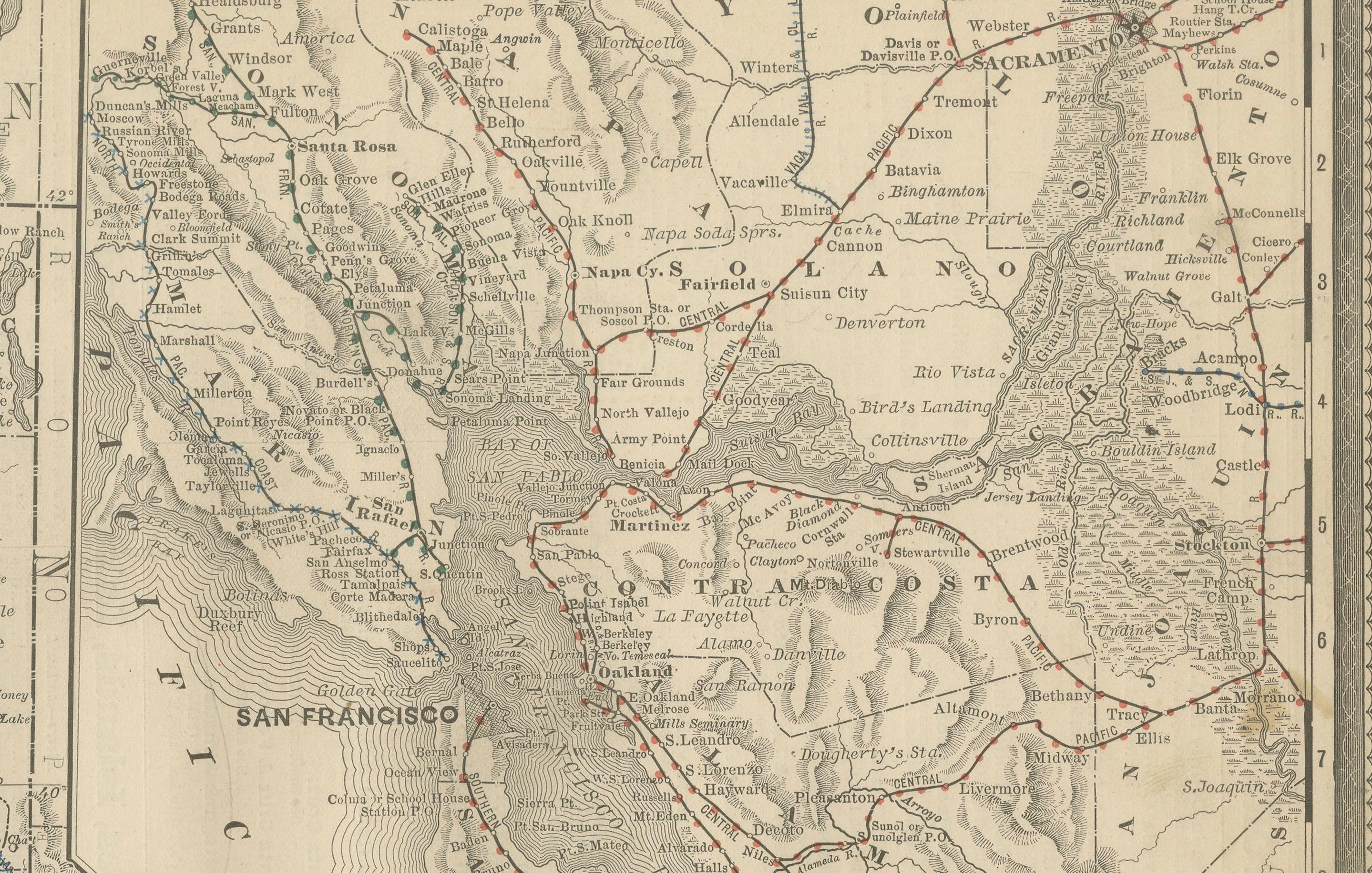
This antique engraved map shows California in 1888, at a time of enormous growth and transformation. Published by Rand, McNally & Co. in Chicago for their Improved Indexed Business Atlas and Shippers Guide, the map details the entire state with its expanding railroad network, counties, towns, and natural geography, just four decades after California became a U.S. state in 1850.
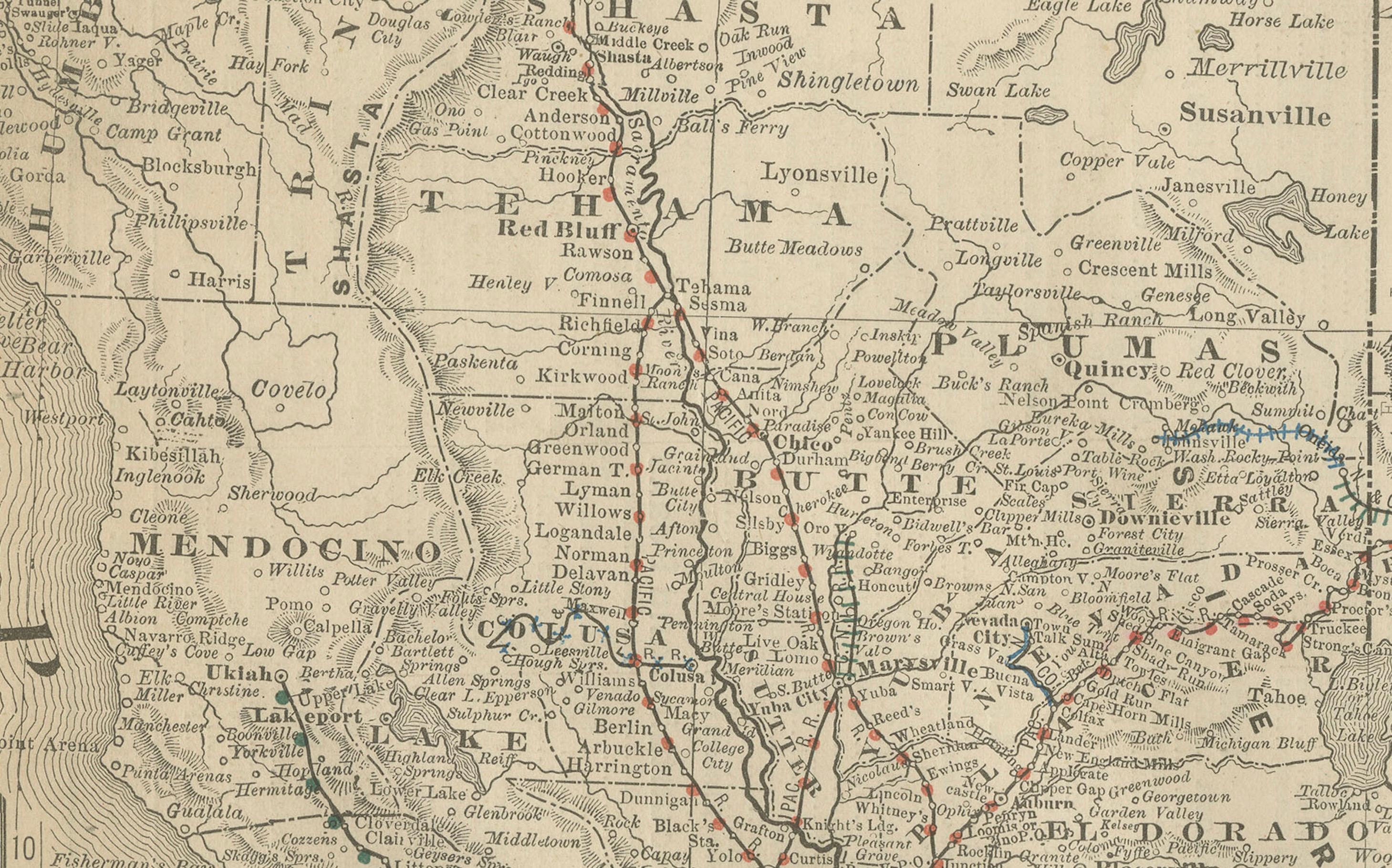
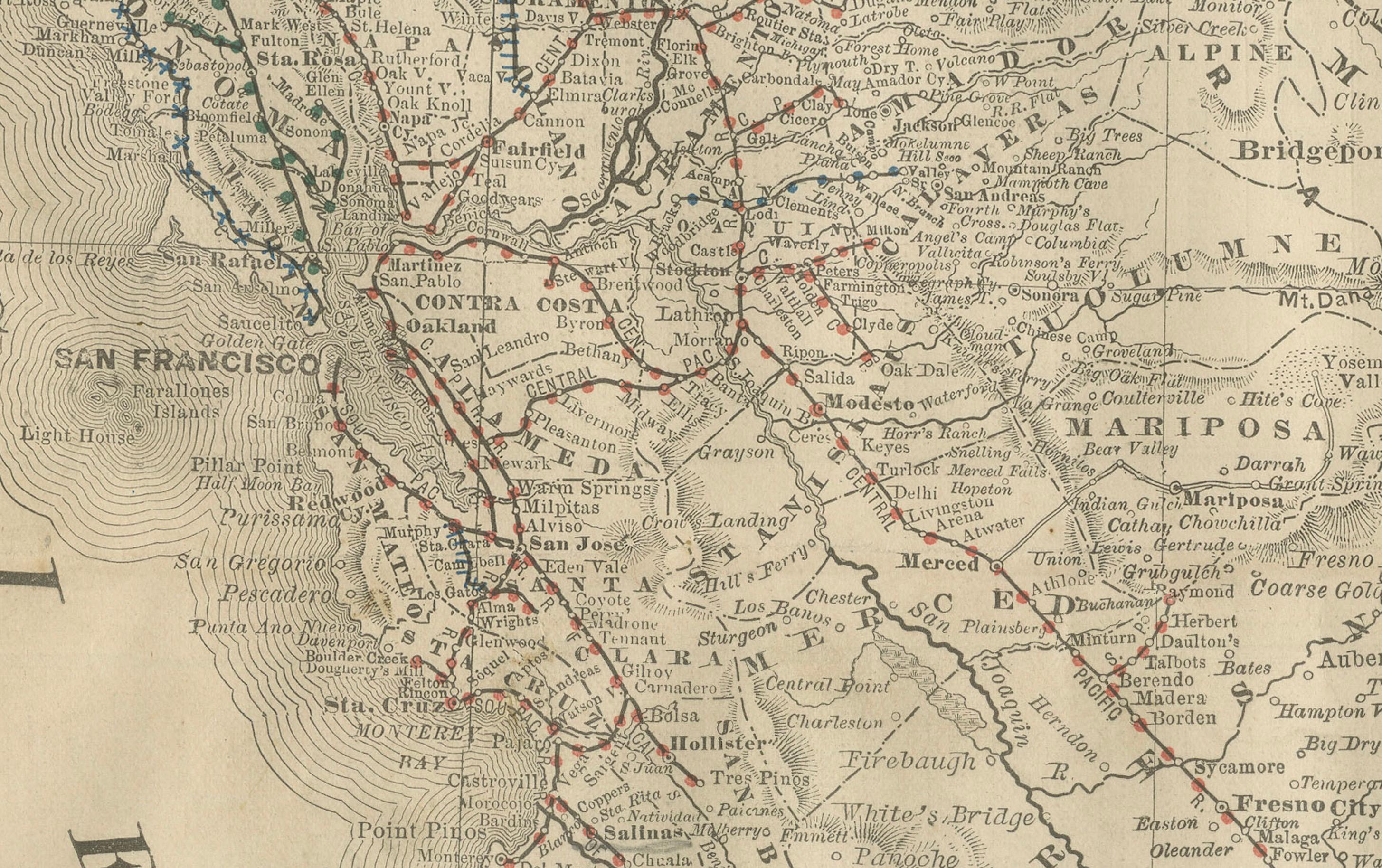
The railroads, carefully marked in red and blue, dominate the map. Major routes include the Southern Pacific system running north-south through the Central Valley, linking Sacramento, Fresno, and Los Angeles, and the transcontinental connection across the Sierra Nevada toward Nevada and the Union Pacific. The prominence of railroads reflects their crucial role in integrating California’s economy with the rest of the United States, enabling the export of agricultural produce, gold, silver, and later oil.
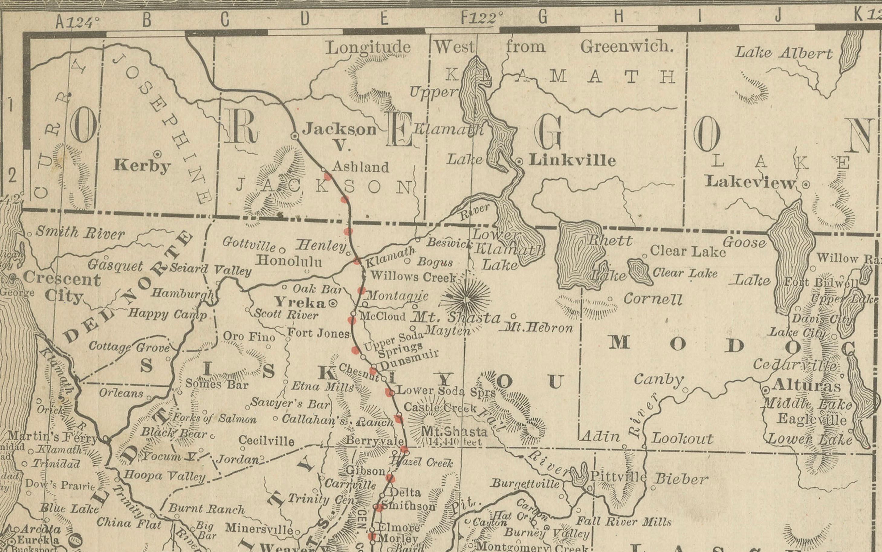
Key cities are clearly labeled, including San Francisco, Los Angeles, San Diego, Sacramento (the state capital), and Oakland, along with numerous smaller towns that were just beginning to grow, such as Riverside, Pasadena, and Santa Barbara. The map also shows mining towns of the Sierra Nevada foothills, remnants of the California Gold Rush that had reshaped the state’s history just a few decades earlier. County boundaries are distinctly drawn, including early administrative divisions such as San Bernardino, Kern, Sonoma, Monterey, and Humboldt.
Natural features such as the Sierra Nevada range, Yosemite Valley, Lake Tahoe, and the Pacific coastline are depicted in detail. Offshore, the Channel Islands appear, while the contours of San Francisco Bay are precisely engraved, highlighting its importance as a hub of shipping and trade.
The timing of this map makes it particularly valuable: by 1888, California was transitioning from its frontier and mining past into an agricultural and urban powerhouse. Los Angeles and Southern California were experiencing a land boom, fueled by railroads and real estate promotion, while San Francisco remained the dominant port of the Pacific Coast. This map reflects both the practical shipping routes of the time and the optimism of California’s future development.
Condition summary: Good condition with even toning and some light foxing at the margins. Original fold lines as issued, paper strong with a clear plate impression. No major tears or repairs.
Framing tips: A dark oak or walnut frame will emphasize the antique quality of this map, while a black frame with ivory or parchment mount will create a crisp modern display. A double mat, perhaps ivory with a golden-brown accent, can highlight California’s warm tones and historic character.
Technique: Engraving
Maker: Rand, McNally & Co., Chicago, 1888