About this sheet
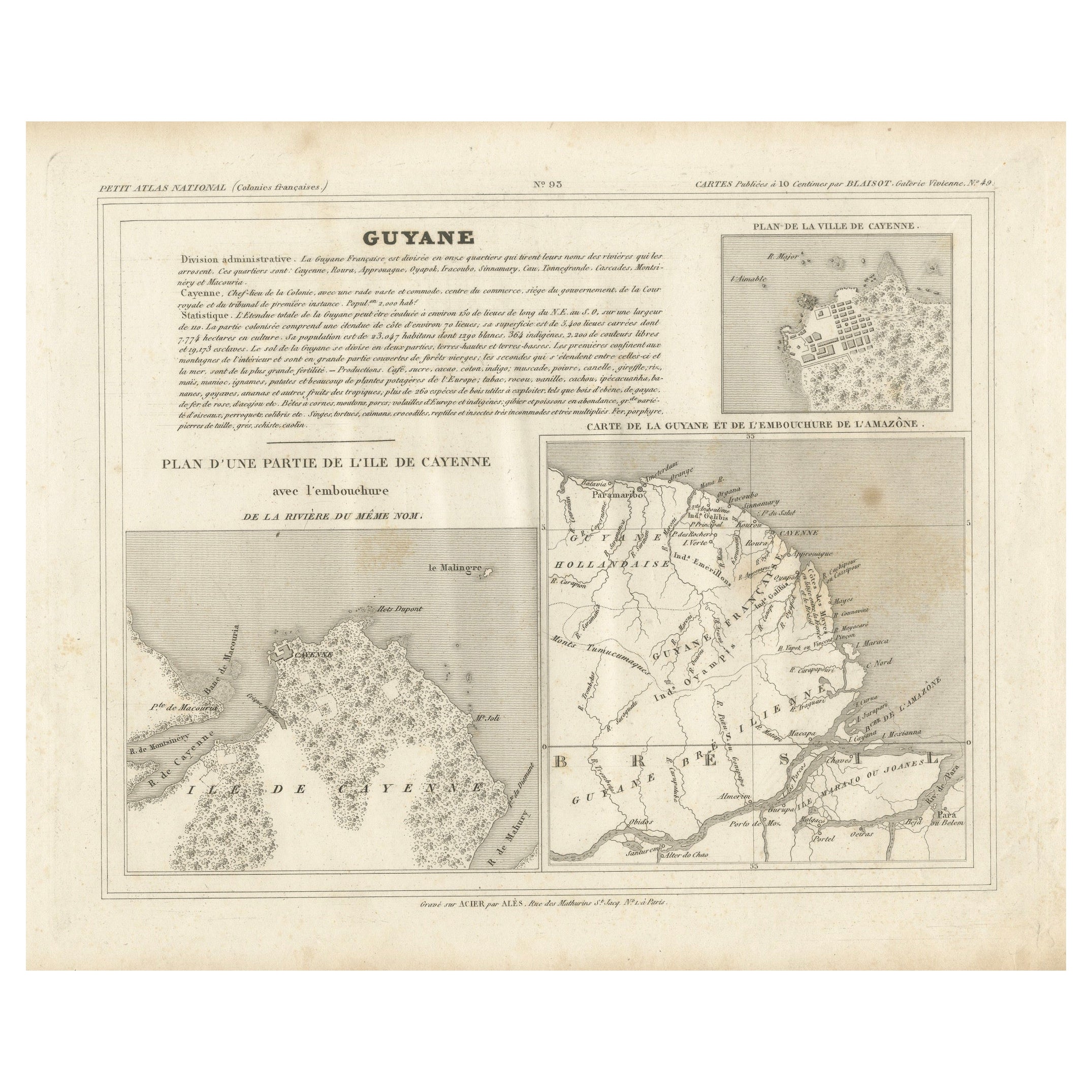
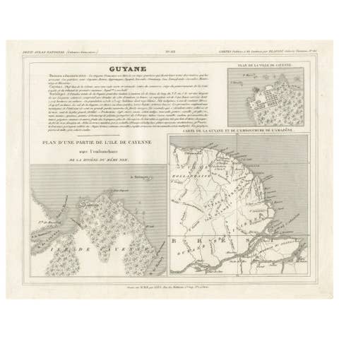
Map of Guyane (French Guiana) with Cayenne, circa 1826
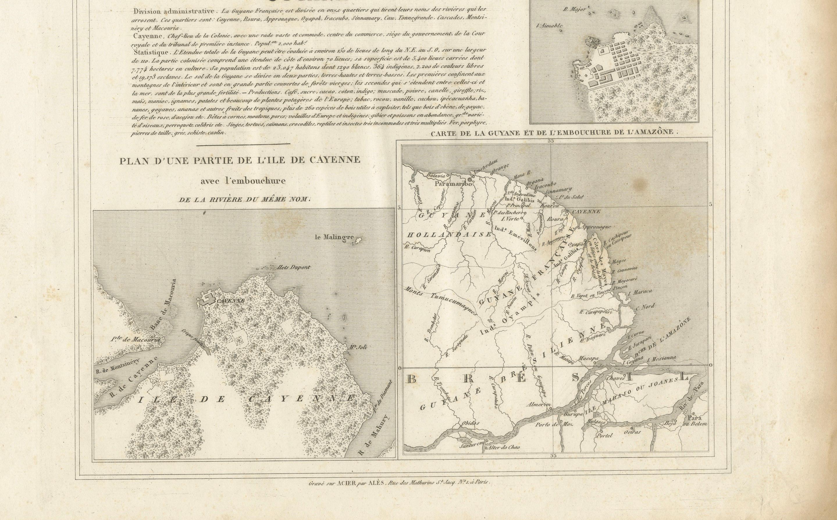
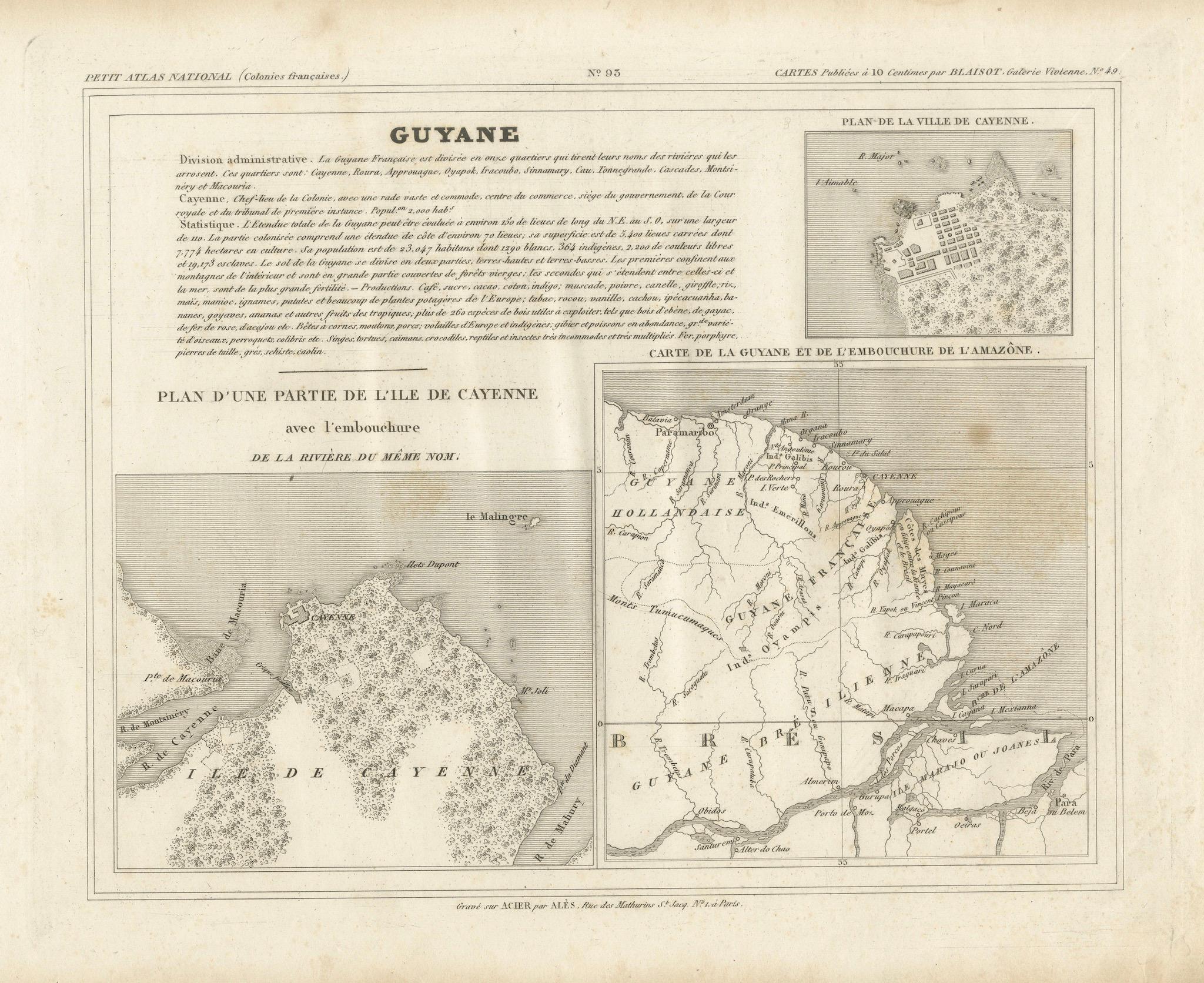
This is an antique French map titled “Guyane” from *Petit Atlas National (Colonies françaises)* published by Blaisot around 1826. It features three distinct cartographic elements:
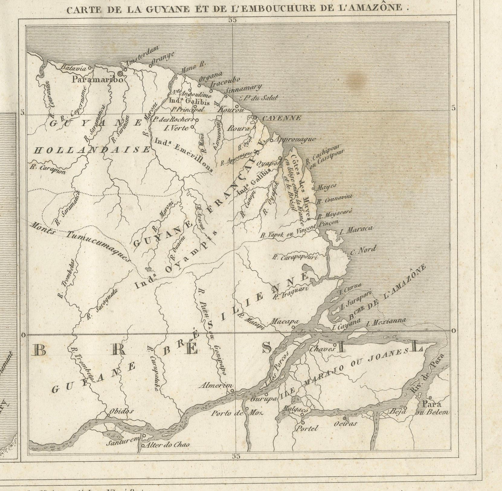
1. Main map – Carte de la Guyane et de l'embouchure de l'Amazone: showing the northern coast of South America including French Guiana, Dutch Guiana (Suriname), and the Amazon River mouth in Brazil, with detailed river systems, settlements, and borders.
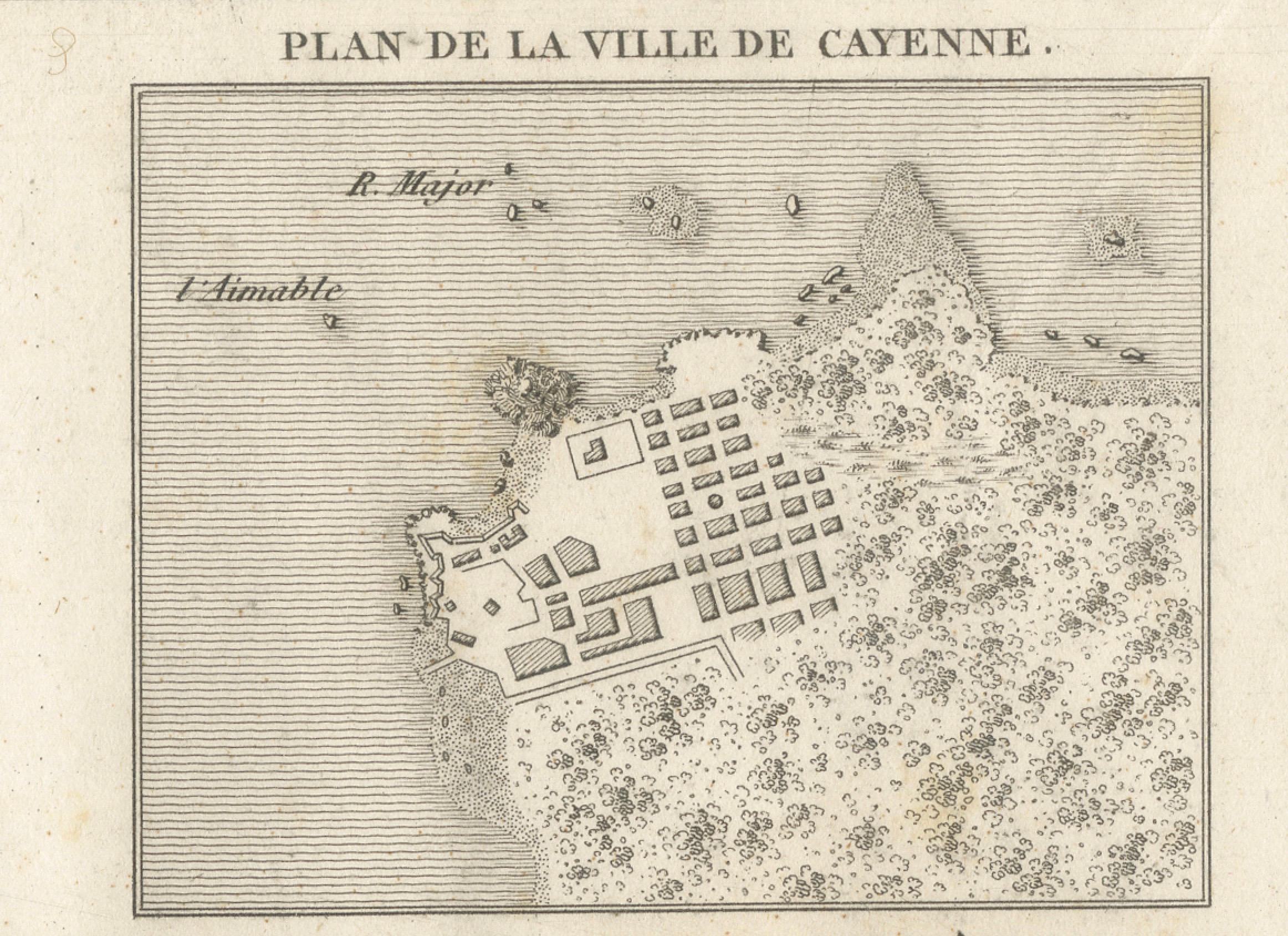
2. Inset city plan – Plan de la ville de Cayenne: a finely engraved small city plan depicting the fortifications, street grid, and coastal layout of Cayenne city, the colonial capital.
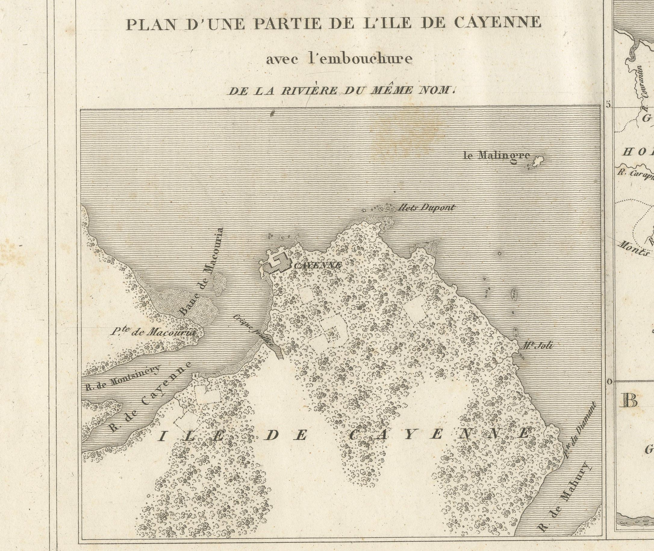
3. Inset island plan – Plan d'une partie de l'île de Cayenne avec l'embouchure de la rivière du même nom: showing the island of Cayenne with rivers, vegetation areas, and geographical detail, useful for colonial administration and navigation.
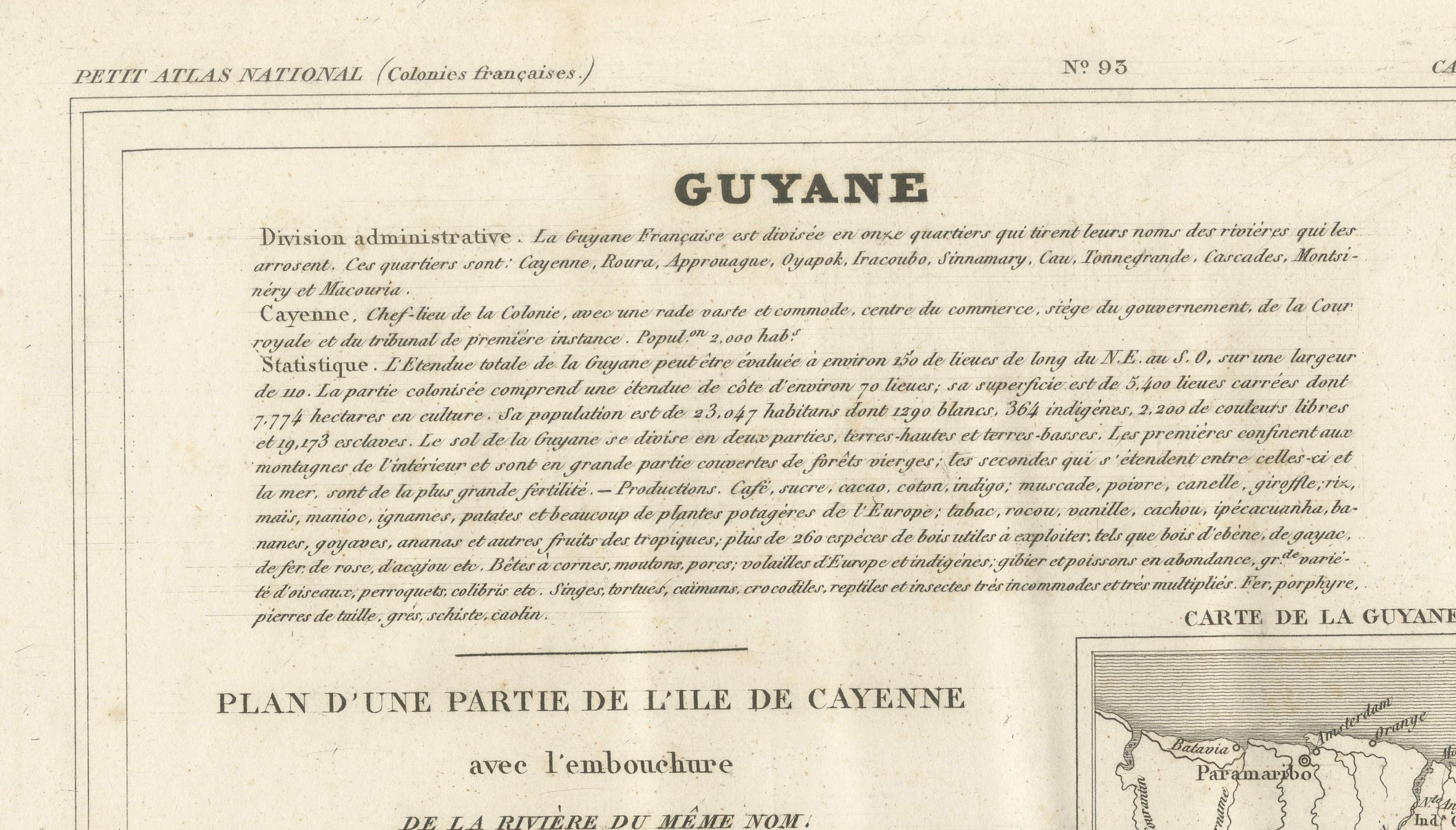
Above the maps is a comprehensive text block describing administrative divisions, population statistics, geography, and economic data of French Guiana during the early 19th century.
Engraved by M. Aubry, Rue des Mathurins St. Jacques No. 5, Paris.
Condition:
Fair condition with strong impression. General age toning, scattered light foxing in blank margins. Paper edges with minor handling marks consistent with age.
Framing suggestions:
Frame floated in a slim black, walnut, or gold leaf frame with a soft cream archival mat to highlight its historic engravings and French colonial typography. Ideal for display in a study, library, or a travel-themed gallery wall.
Keywords:
French Guiana map, antique map Cayenne, Blaisot Petit Atlas National, South America colonial map, Amazon River map, French colonies, Suriname, Guyana, 19th century engraved map, historic cartography, Paris engravings