About this sheet
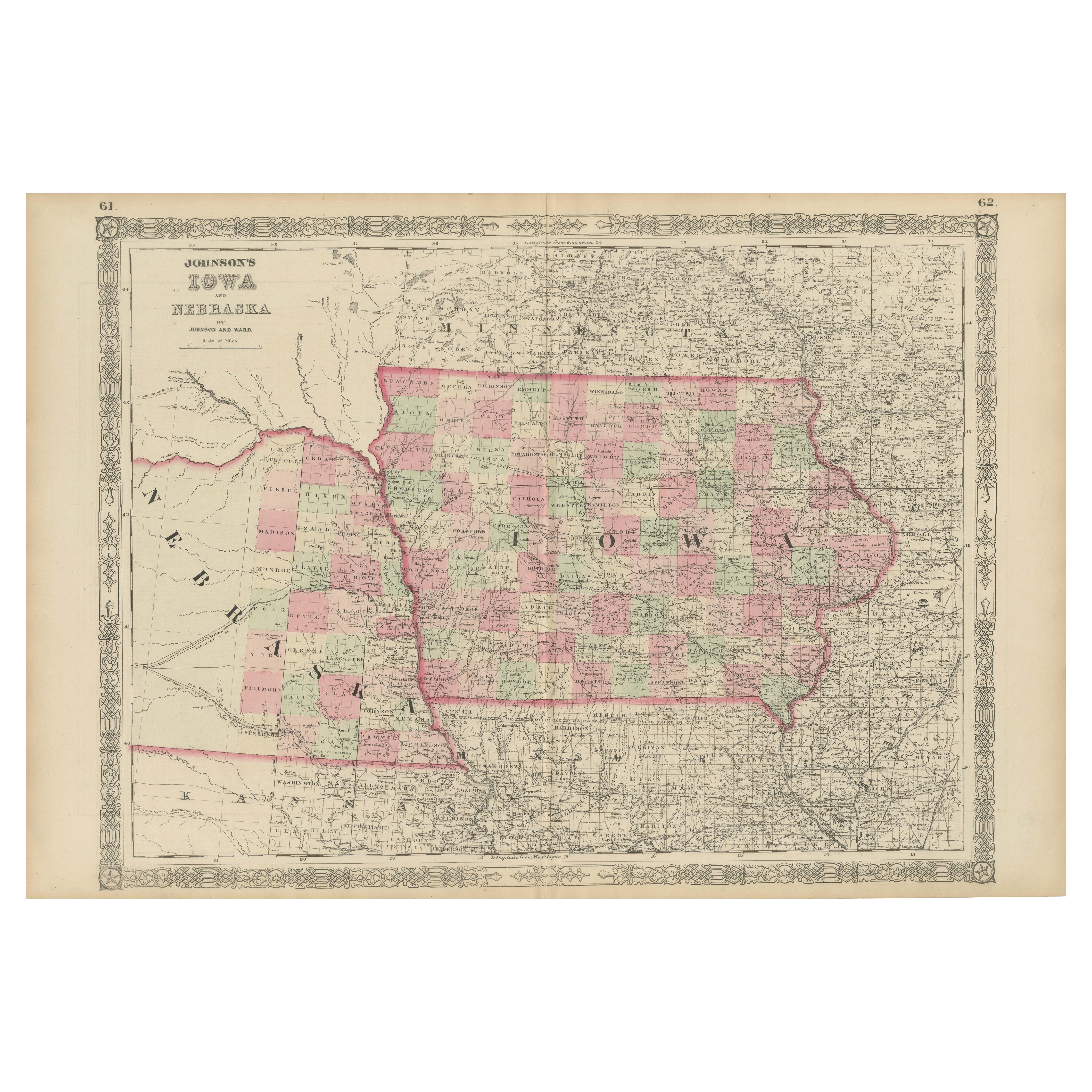
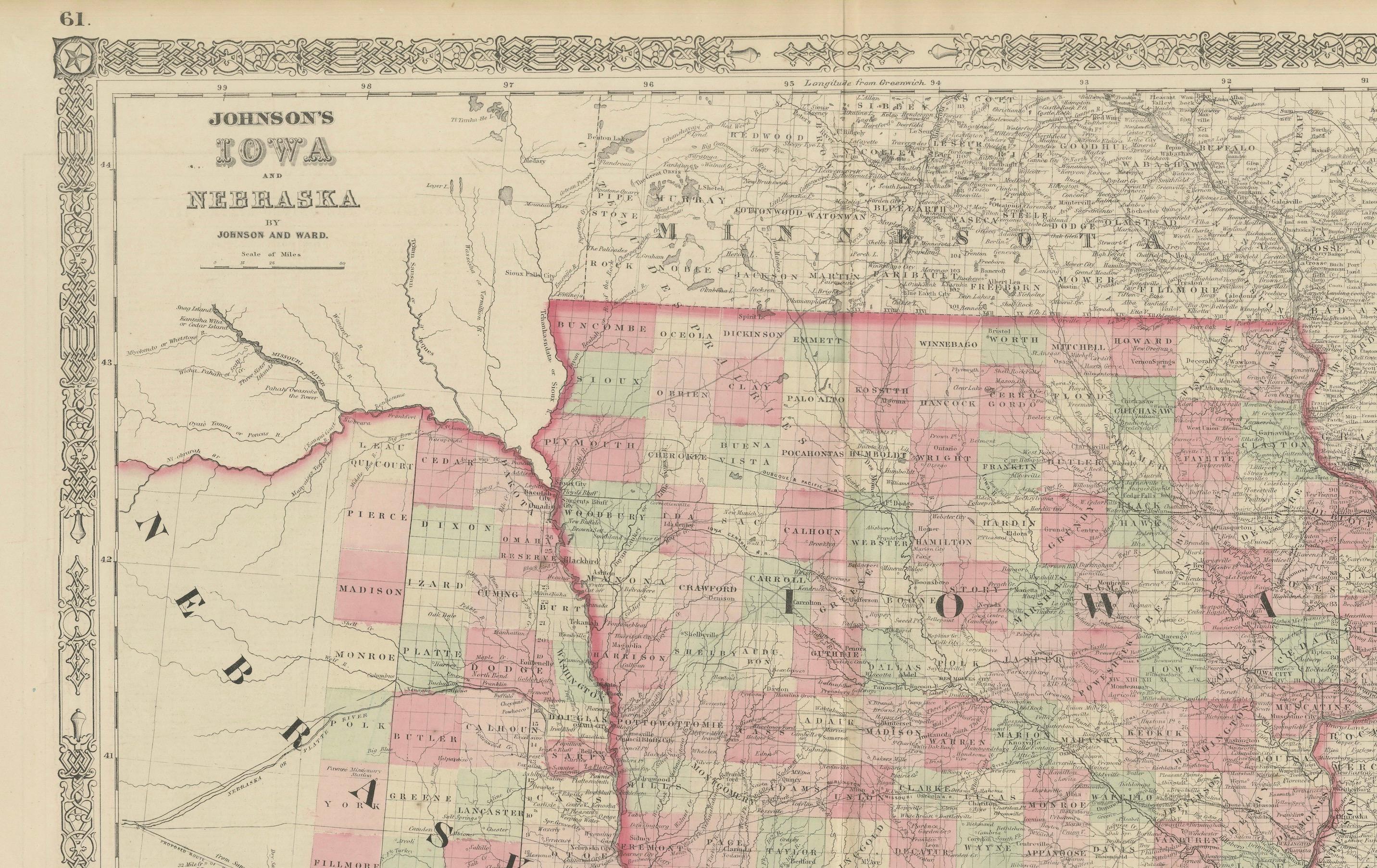
Antique Map of Iowa and Nebraska by Johnson and Ward, 1862
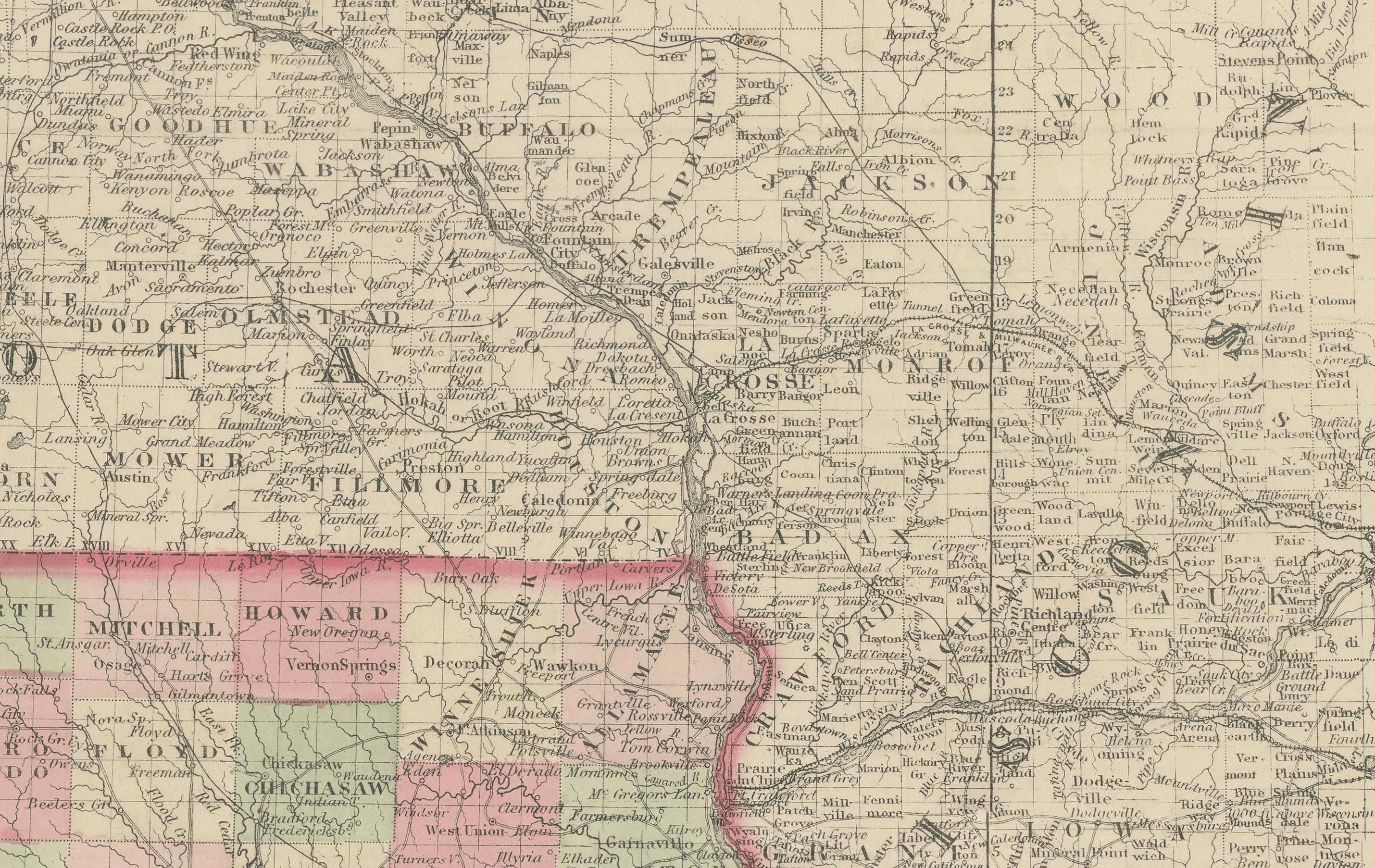
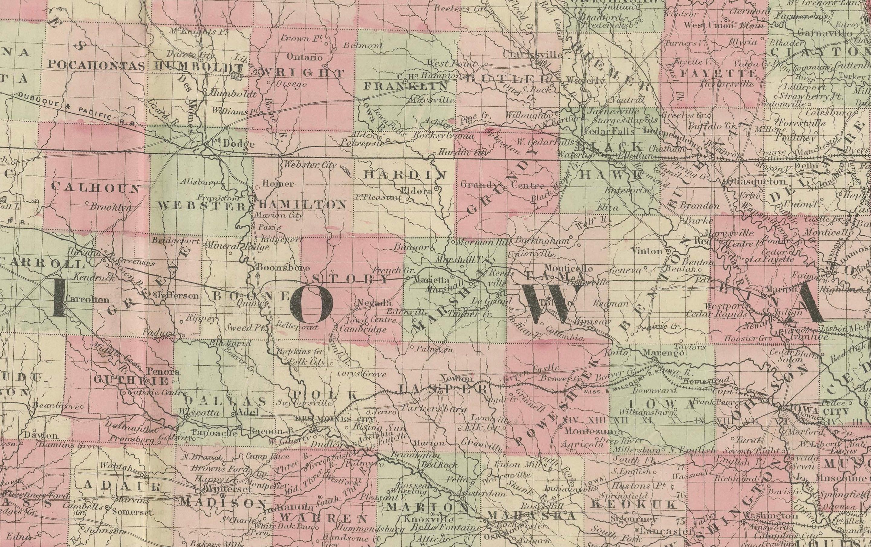
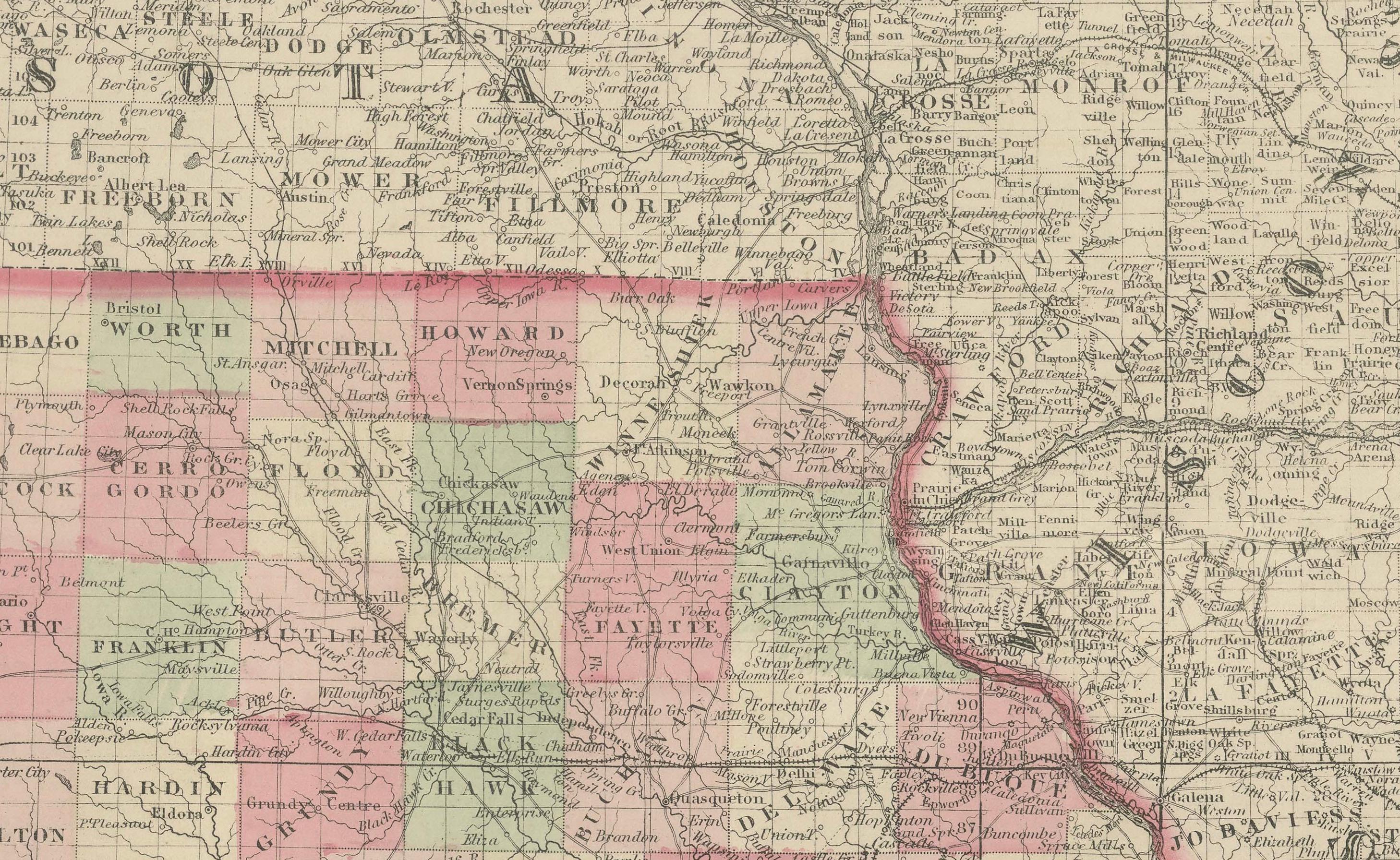
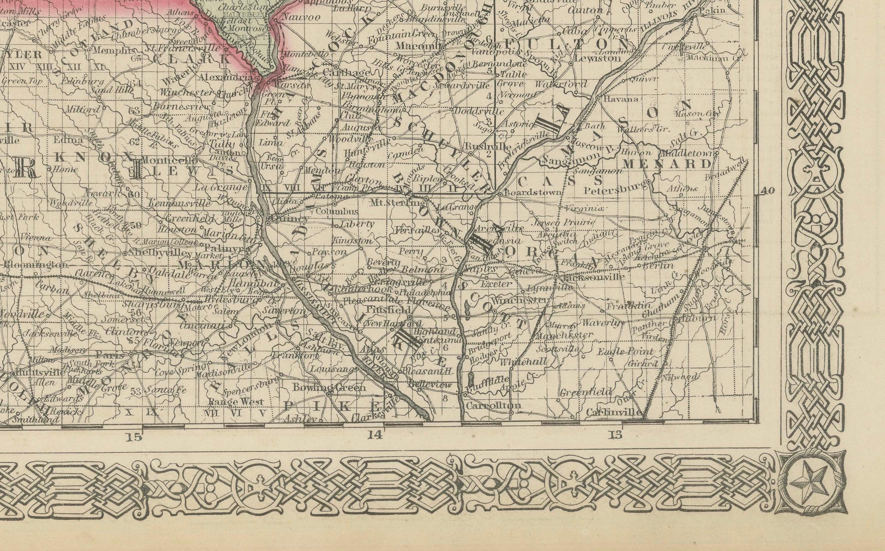
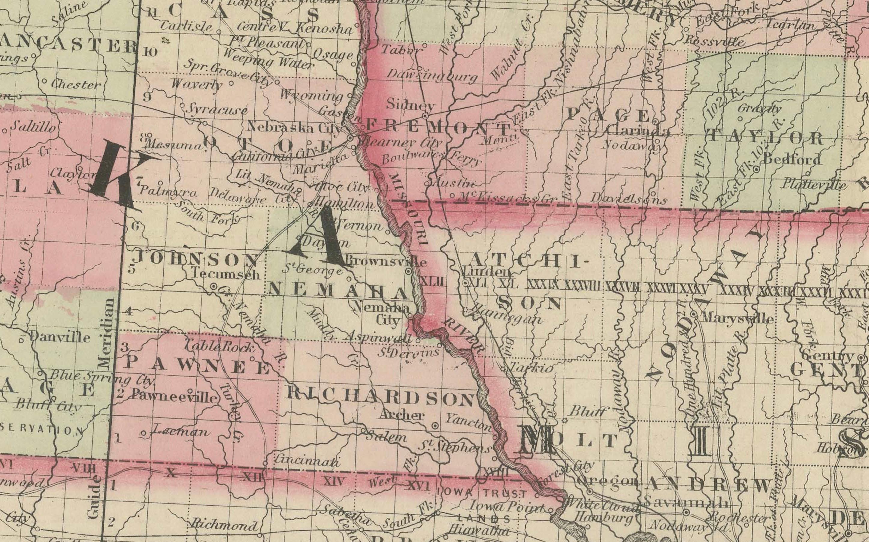
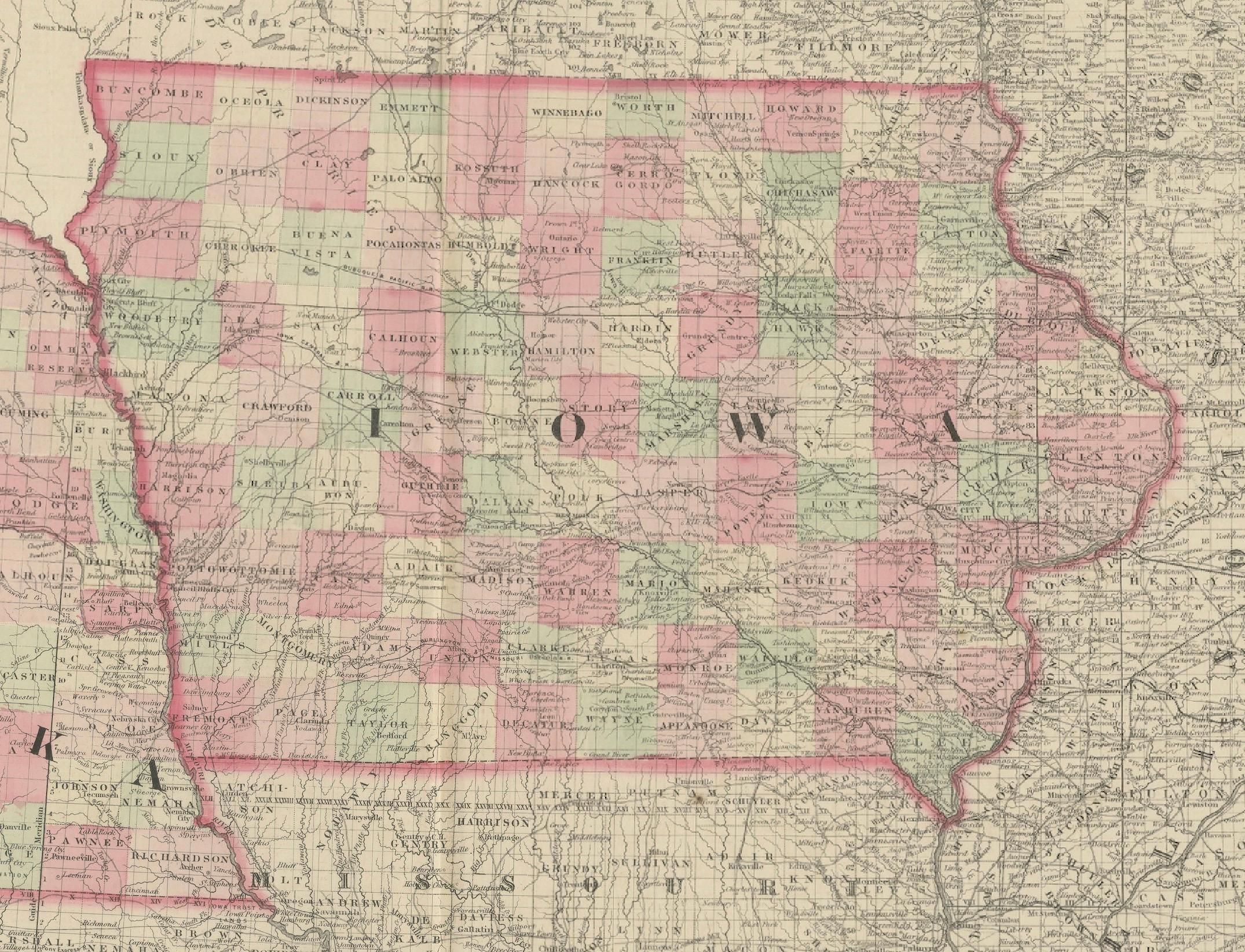
This beautifully detailed antique map, published in 1862, depicts the states of Iowa and Nebraska during the mid-19th century, a period of rapid development and settlement in the American Midwest. Each county is outlined in hand-applied color washes of pink, green, and yellow, giving a clear view of administrative divisions. The map includes towns, roads, rivers, and railroads, offering a snapshot of the region at a formative moment in U.S. history.
The map is surrounded by Johnson’s characteristic decorative border, an ornate design that frames the detailed cartography. Iowa is shown fully organized into its counties, with towns such as Des Moines, Iowa City, and Davenport marked prominently. Nebraska, by contrast, is shown in an earlier stage of territorial development, with large, sparsely populated counties and fewer settlements, reflecting the westward expansion and pioneer migration of the era. The Missouri River is prominently featured, marking the important boundary between Iowa and Nebraska.
This map comes from Johnson’s New Illustrated Family Atlas, one of the most popular and widely distributed American atlases of the 19th century. Johnson and Ward’s maps are prized for their accuracy, hand colouring, and rich historical detail, making them sought-after collector’s pieces today.
Condition: Very good. Original hand colouring remains bright. Minor age toning and light foxing to margins, typical for age. Centerfold as issued.
Framing tips: A dark walnut or black frame with a cream or light tan mat will highlight the hand colouring and ornate border. For a more striking display, a gilt frame will enhance the decorative qualities of the piece.
Technique: Hand-coloured lithograph
Maker: Johnson and Ward, New York, 1862