Ireland Map – Provincial and County Divisions 1851
€ 340
One of a kind: this is the sheet in the photographs. Ships from Langweer, the Netherlands.
Date
1851
Sheet size
37.5 × 45.4 cm (14.8 × 17.9 in)
Condition
Good
Reference
BG-05552-22
Condition
Technique: Copperplate engraving with original hand colouring used to delineate counties and provincial borders in subtle yet clear tones. German titles and detailed annotations are engraved with exceptional clarity typical of Stieler’s Hand-Atlas.
About this sheet
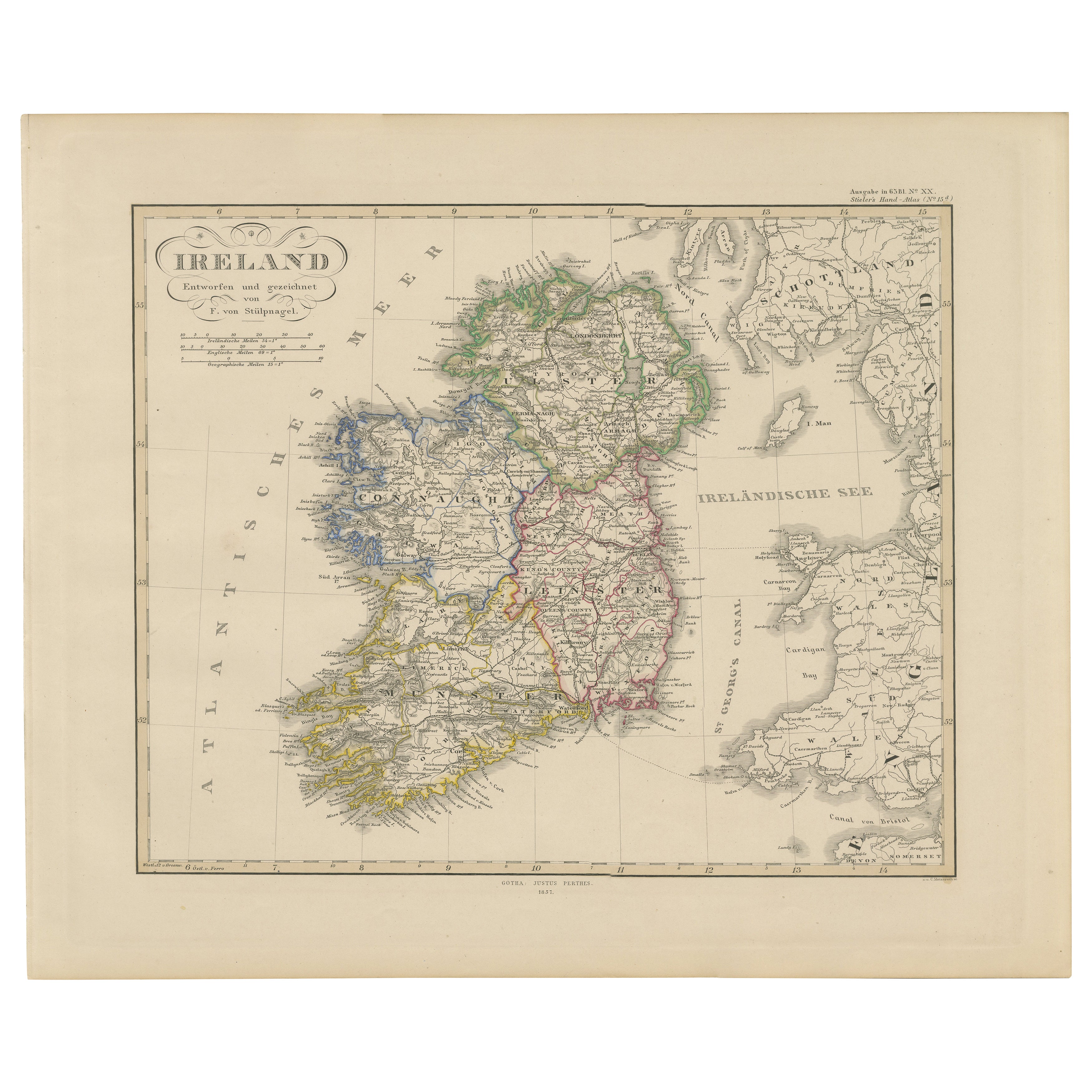
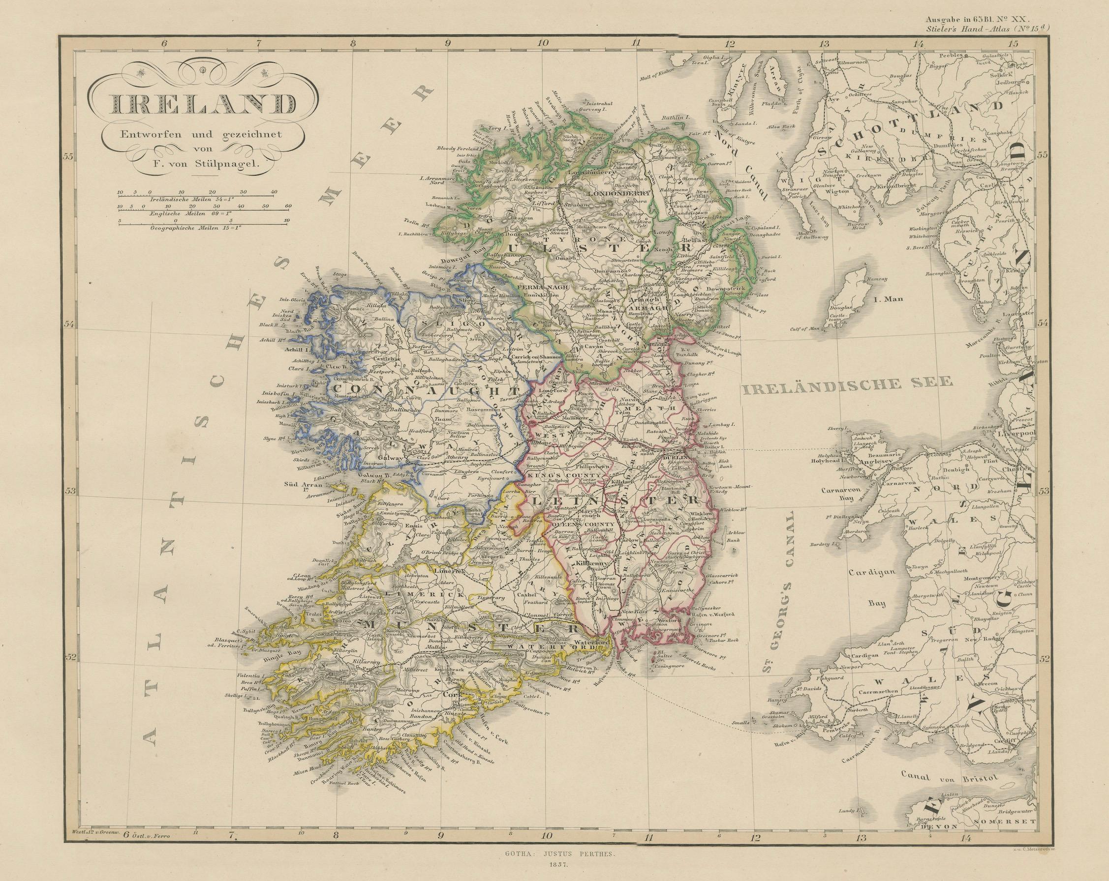
Ireland Map – Provincial and County Divisions 1851
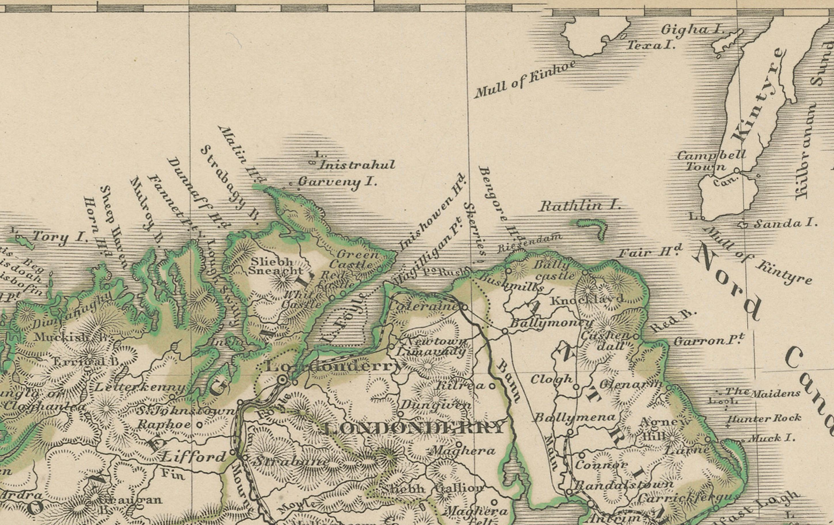
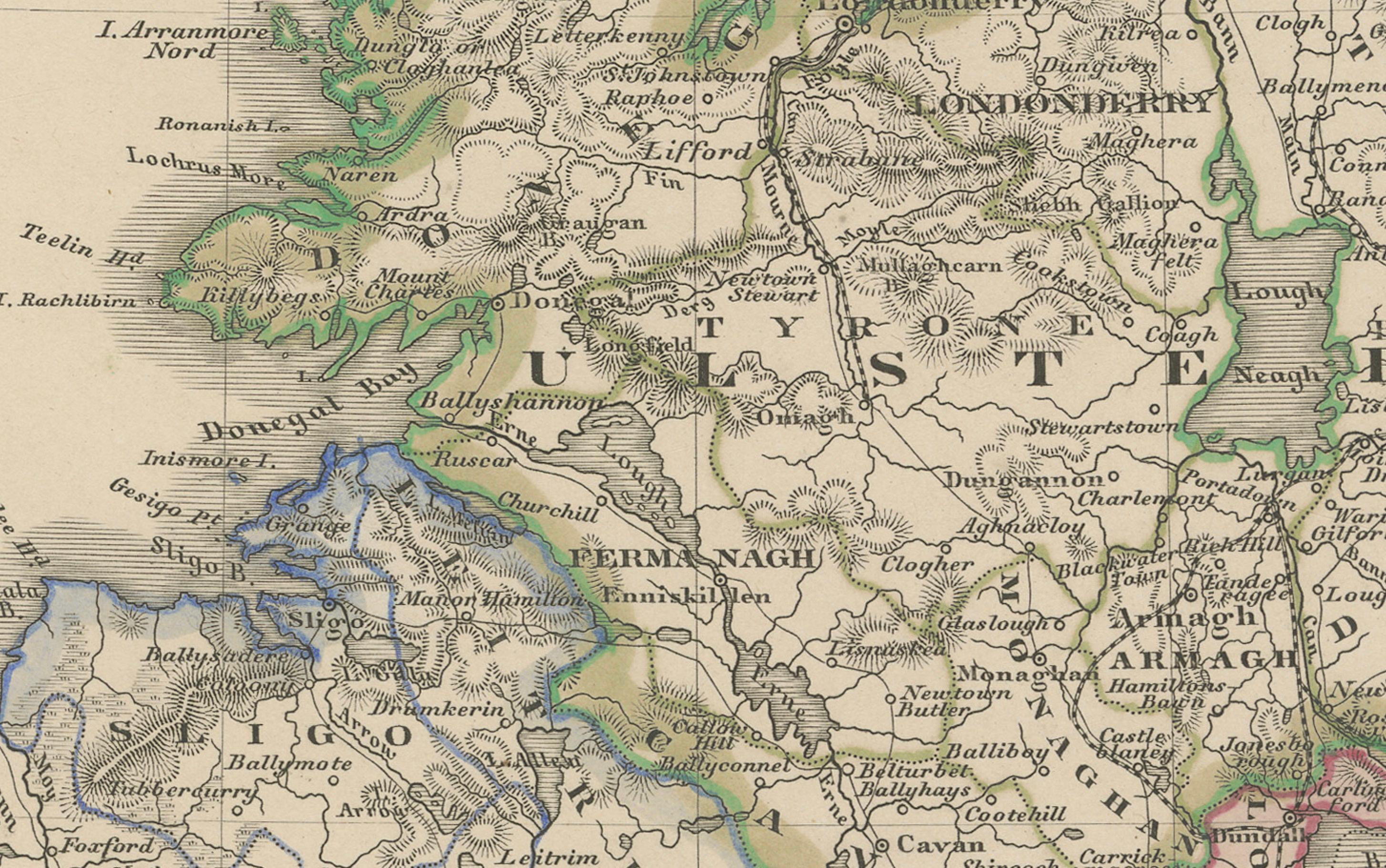
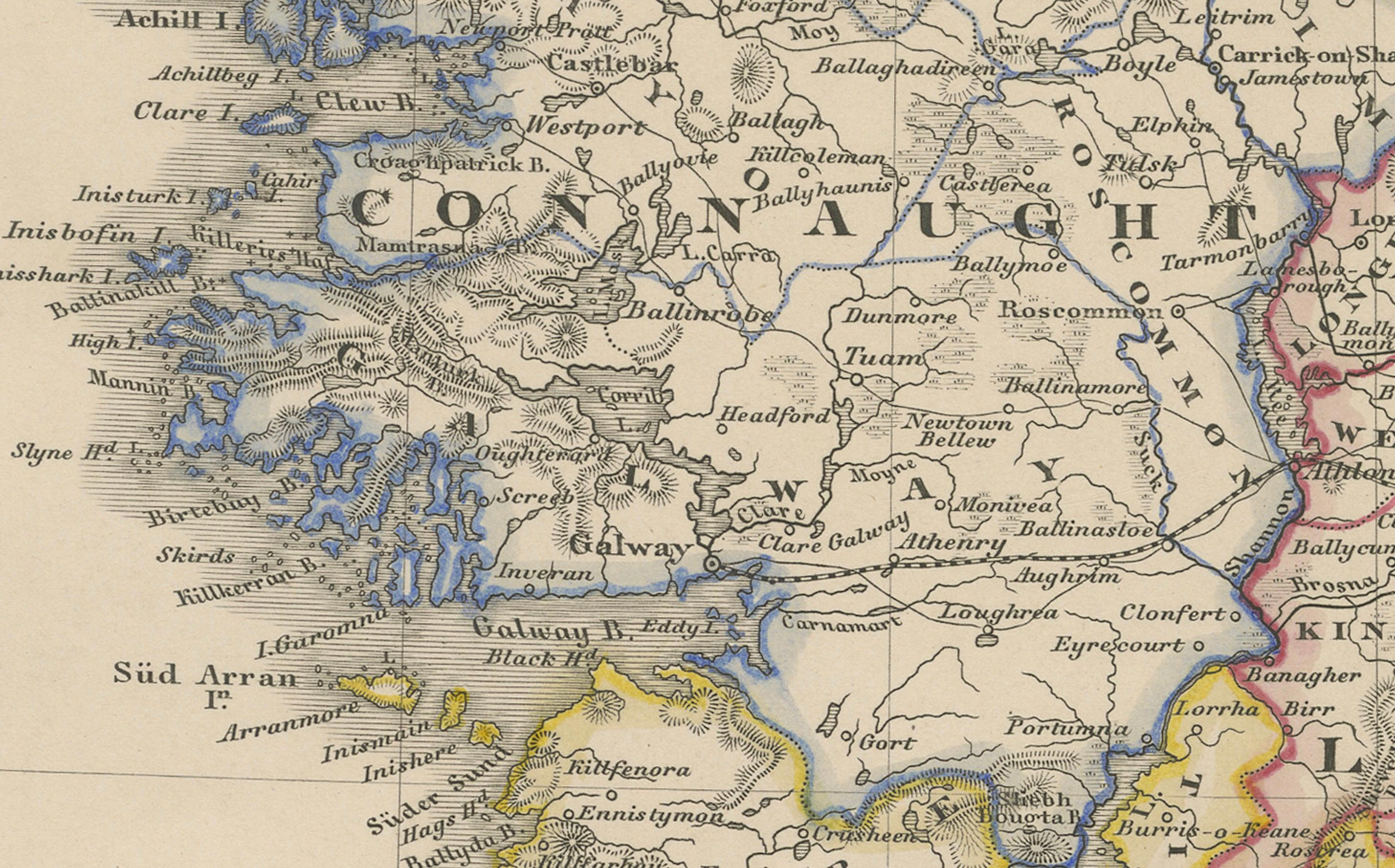
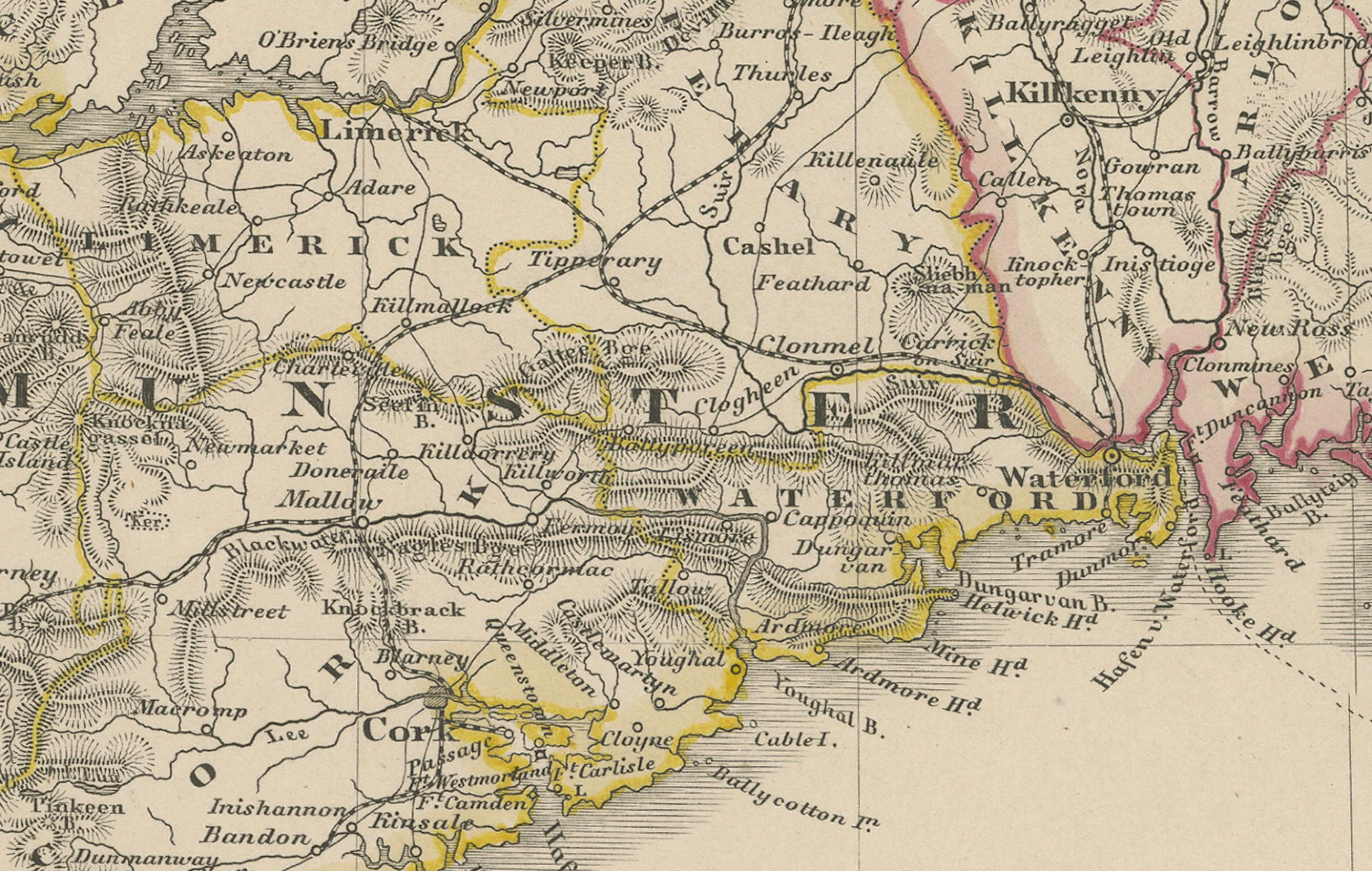
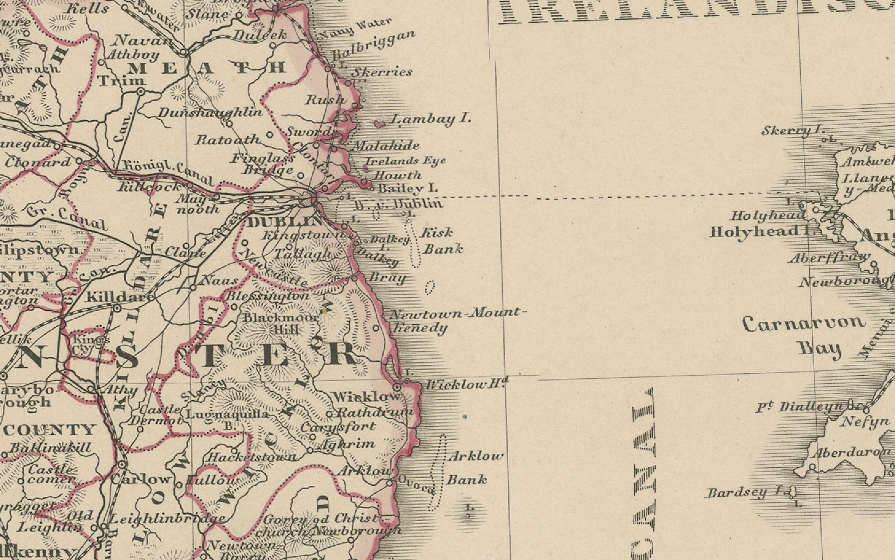
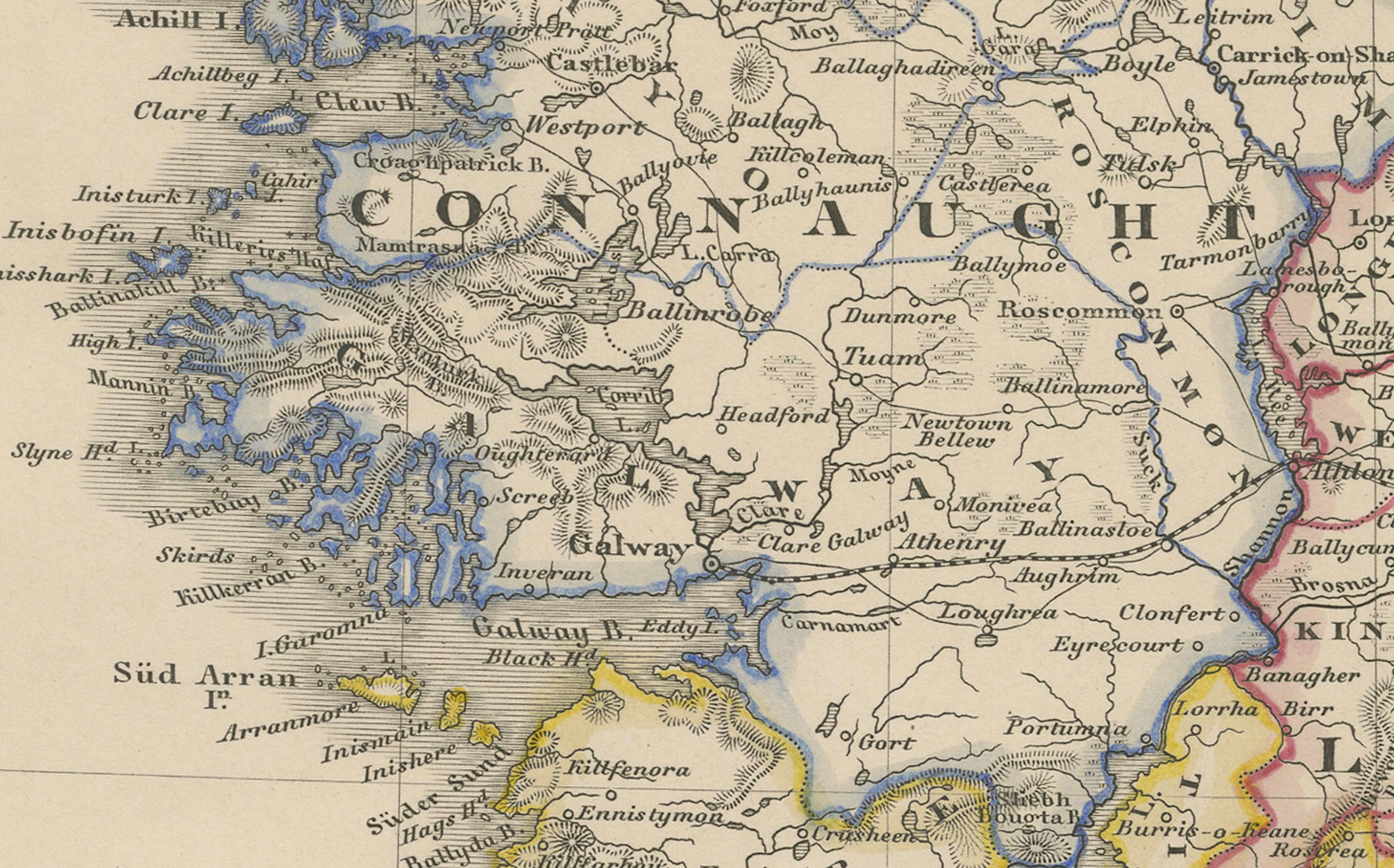
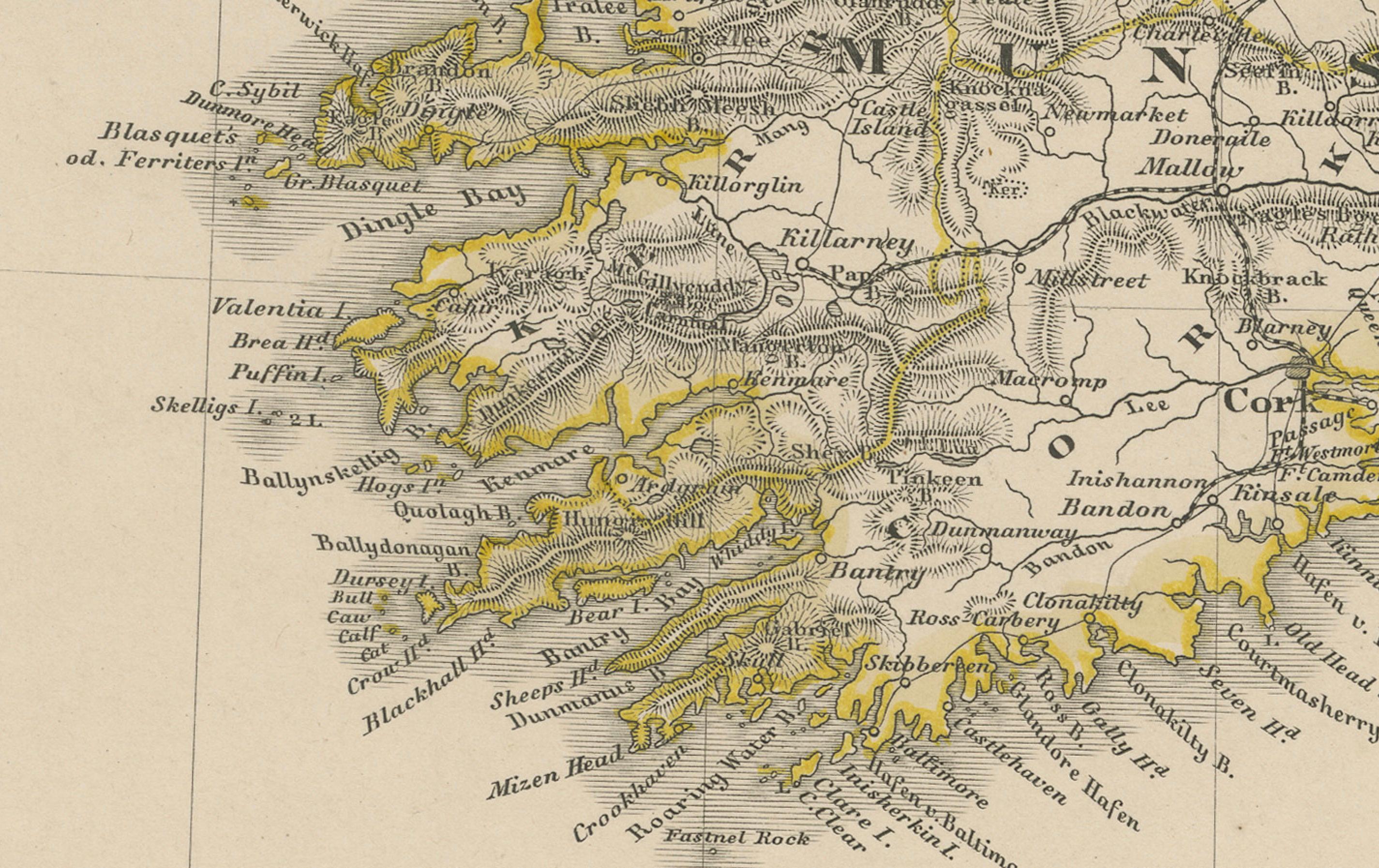
This fine antique print shows Ireland titled simply “Ireland,” published in 1851 by Justus Perthes in Gotha as part of Adolf Stieler’s prestigious Hand-Atlas. The map was drawn and engraved by F. v. Stülpnagel, a noted German cartographer. It presents Ireland with detailed provincial and county boundaries highlighted in original hand colouring, and labels major towns, rivers, and mountain ranges with precision.
The map shows all four historic provinces – Connaught, Leinster, Munster, and Ulster – each outlined in different colours to distinguish their counties. Major cities such as Dublin, Cork, Limerick, Galway, and Belfast are clearly labelled, as are regional features including Lough Neagh, the Shannon River, and mountain ranges like MacGillycuddy’s Reeks.
This map is significant as it captures mid-19th-century Ireland shortly after the Great Famine period (1845–1852), a time of major social and demographic change. It provides valuable insight into Ireland’s political geography under British rule and its transport connections, including towns, canals, and ferry routes.
Technique: Copperplate engraving with original hand colouring used to delineate counties and provincial borders in subtle yet clear tones. German titles and detailed annotations are engraved with exceptional clarity typical of Stieler’s Hand-Atlas.
Condition summary: Excellent condition with strong impression, minimal toning, and no tears, repairs, or significant foxing. Colours remain vivid and the paper is firm and stable.
Framing tips: This detailed map of Ireland will display beautifully in a dark wood or black frame to emphasise its cartographic clarity, paired with a wide ivory or cream mount to soften the presentation and highlight its decorative and historical value. UV-protective glass is recommended to preserve the engraving lines and original colours for long-term display.