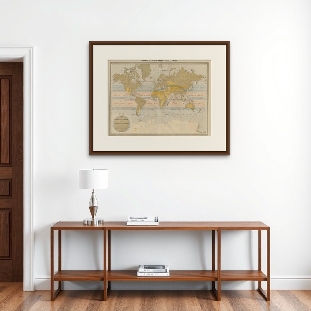
World Wind Currents Map – “Courants de l’Atmosphère” by Andriveau-Goujon, 1861
€ 349
Original antique · The actual sheet photographed · Certificate of authenticity on request · Sold unframed · Worldwide shipping from € 15 (rates)
Date
1861
Mapmaker / artist
E. Andriveau-Goujon, Paris, 1861
Technique
Engraving with original hand coloring
Sheet size
53.1 × 70.2 cm (20.9 × 27.6 in)
Condition
Good
Reference
BG-14099-3
What the condition grades mean
Excellent
Bright and clean, with no faults worth mentioning.
Very good
Only light signs of age, such as faint toning.
Good
Normal signs of age for a sheet of this period: toning, some foxing, small marks or neat old repairs.
Fair
Clear faults such as staining, tears or repairs, priced to match.
Every fault we see is written in the condition note, and the whole sheet is shown uncropped in the photos.
Condition
Slight toning and minor foxing to the margins. Original centerfold as issued. Clean plate impression and fresh hand coloring. Two tears around bottom folding line, repaired on reverse.
About this sheet
World Wind Currents Map – “Courants de l’Atmosphère” by Andriveau-Goujon, 1861
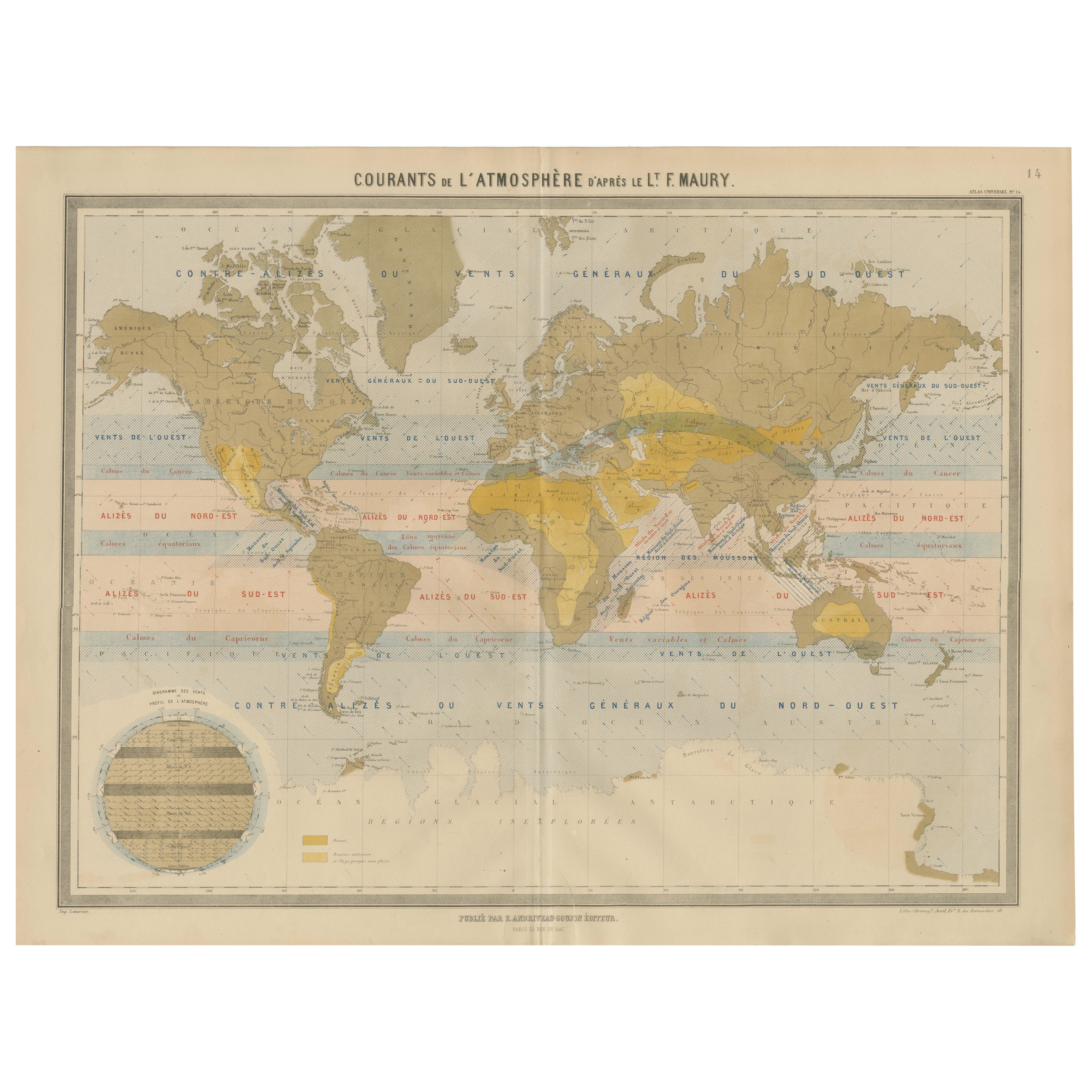
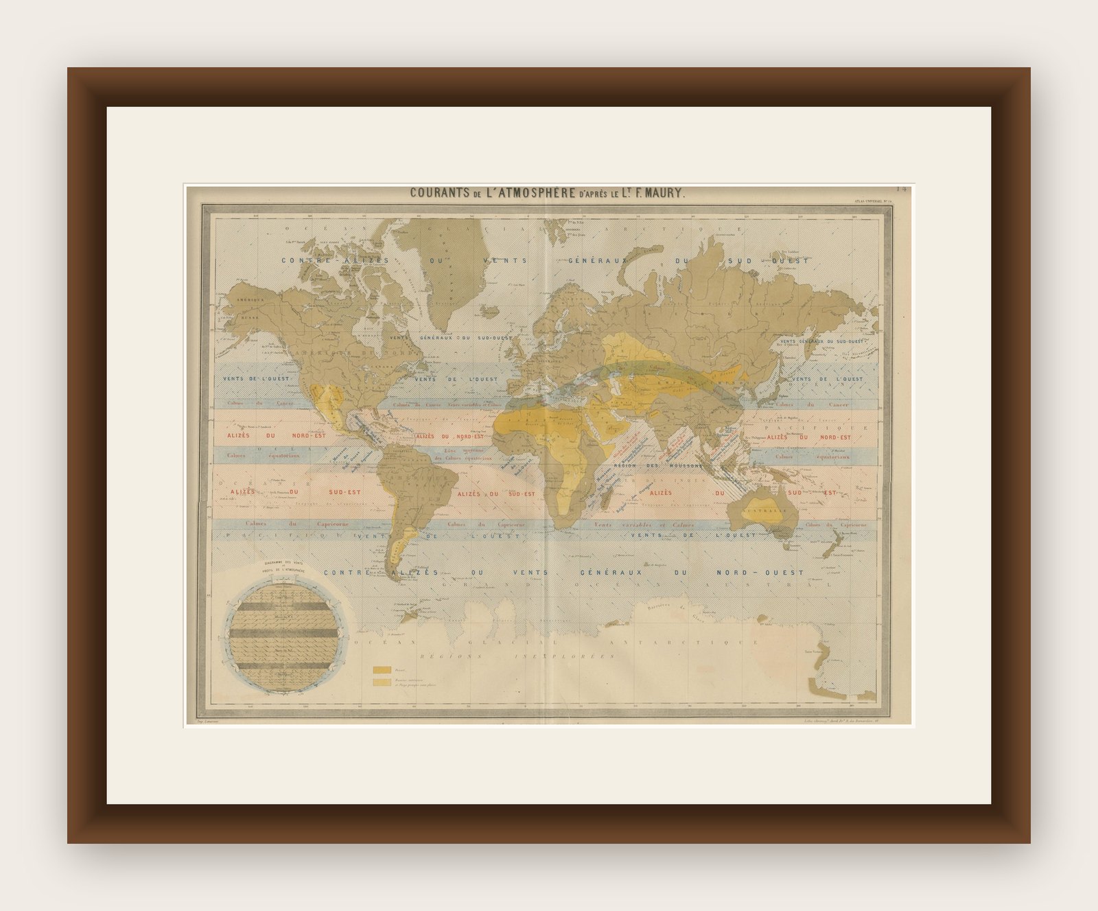
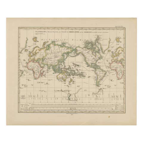
This striking and educational antique chart titled “Courants de l’Atmosphère d’après le Lt. F. Maury” visualizes the major atmospheric wind systems of the Earth as understood in the mid-19th century. Published by E. Andriveau-Goujon in Paris in 1861, it forms part of the “Atlas Universel” and is based on the pioneering meteorological work of U.S. Navy Lieutenant Matthew Fontaine Maury, a key figure in the early scientific study of oceanography and global wind patterns.
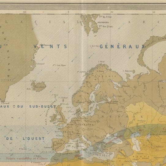
The map illustrates prevailing wind directions and zones across the globe with great clarity, using a mix of colors, arrows, and hatching to differentiate between climatic belts and wind regimes. Trade winds (alizés), westerlies (vents de l’ouest), monsoons, calms (zones of relative atmospheric stillness), and polar winds are all distinctly marked. Notably, the red-striped zones indicate the northeast and southeast trade winds, while blue diagonal hatching identifies the westerlies.
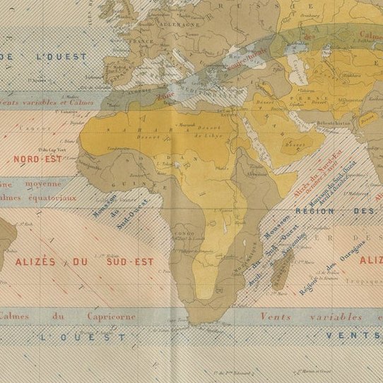
A key feature is the inclusion of major monsoon systems over the Indian Ocean, Southeast Asia, and the western Pacific, labeled with directional arrows and seasonal annotations such as "Mousson du Sud-Ouest Avril–Octobre." The equatorial calms (calmes équatoriaux) and zones like the “Région des Ouragans” in the Caribbean are clearly demarcated, giving insight into both meteorological science and historical maritime navigation.
A circular inset in the lower left corner presents a vertical atmospheric profile titled “Diagramme des Vents et Profil de l’Atmosphère,” offering an illustrative cross-section of wind circulation by latitude and altitude. Deserts and arid zones are shaded in yellow and ochre according to the legend.
This chart is both scientifically fascinating and visually elegant—an outstanding example of 19th-century thematic cartography merging climatology, geography, and aesthetics. It reflects the growing 19th-century interest in global systems and navigation and would appeal to collectors of antique maps, maritime history, or early meteorological science.
Framing tips: Best suited to a dark wood or brass-toned frame with a light ivory mat. A thin secondary mat in blue or gray can highlight the diagram’s fine scientific detailing while enhancing its decorative appeal.