Arctic Polar Map – Greenland, North Pole & Russian Empire Regions, 1857
€ 340
One of a kind: this is the sheet in the photographs. Ships from Langweer, the Netherlands.
Date
1857
Sheet size
37.5 × 45.4 cm (14.8 × 17.9 in)
Condition
Good
Reference
BG-05552-9
Condition
Condition summary: Excellent condition with strong impression and minimal age toning. No repairs, or significant foxing. One light crease in right top. Colours remain fresh, and the paper is firm and stable.
About this sheet
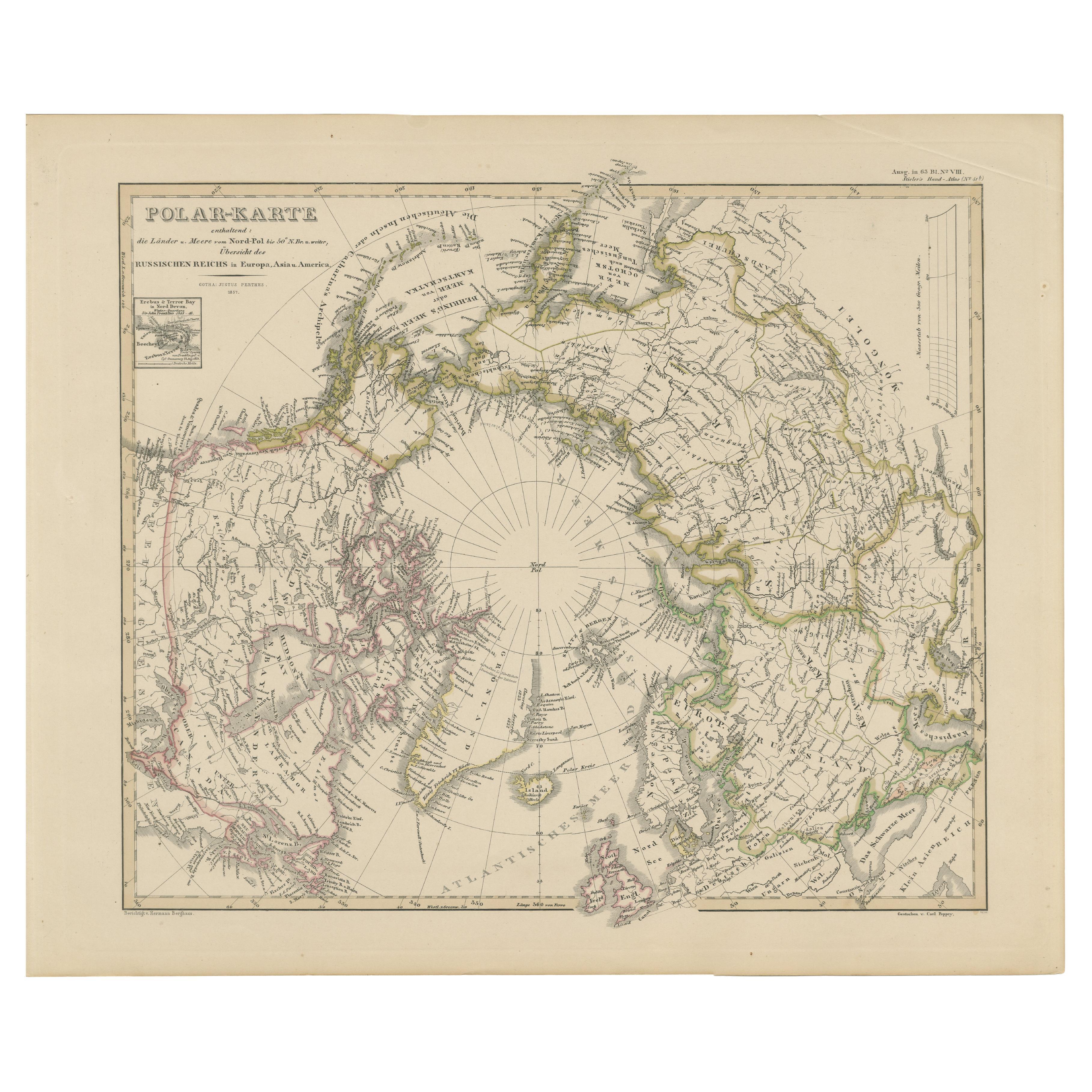
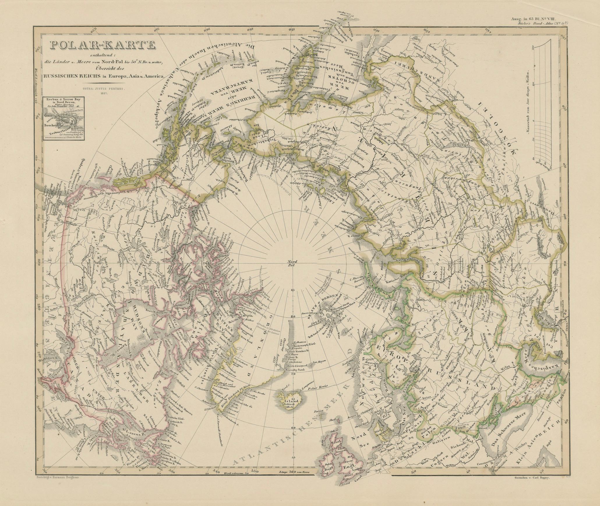
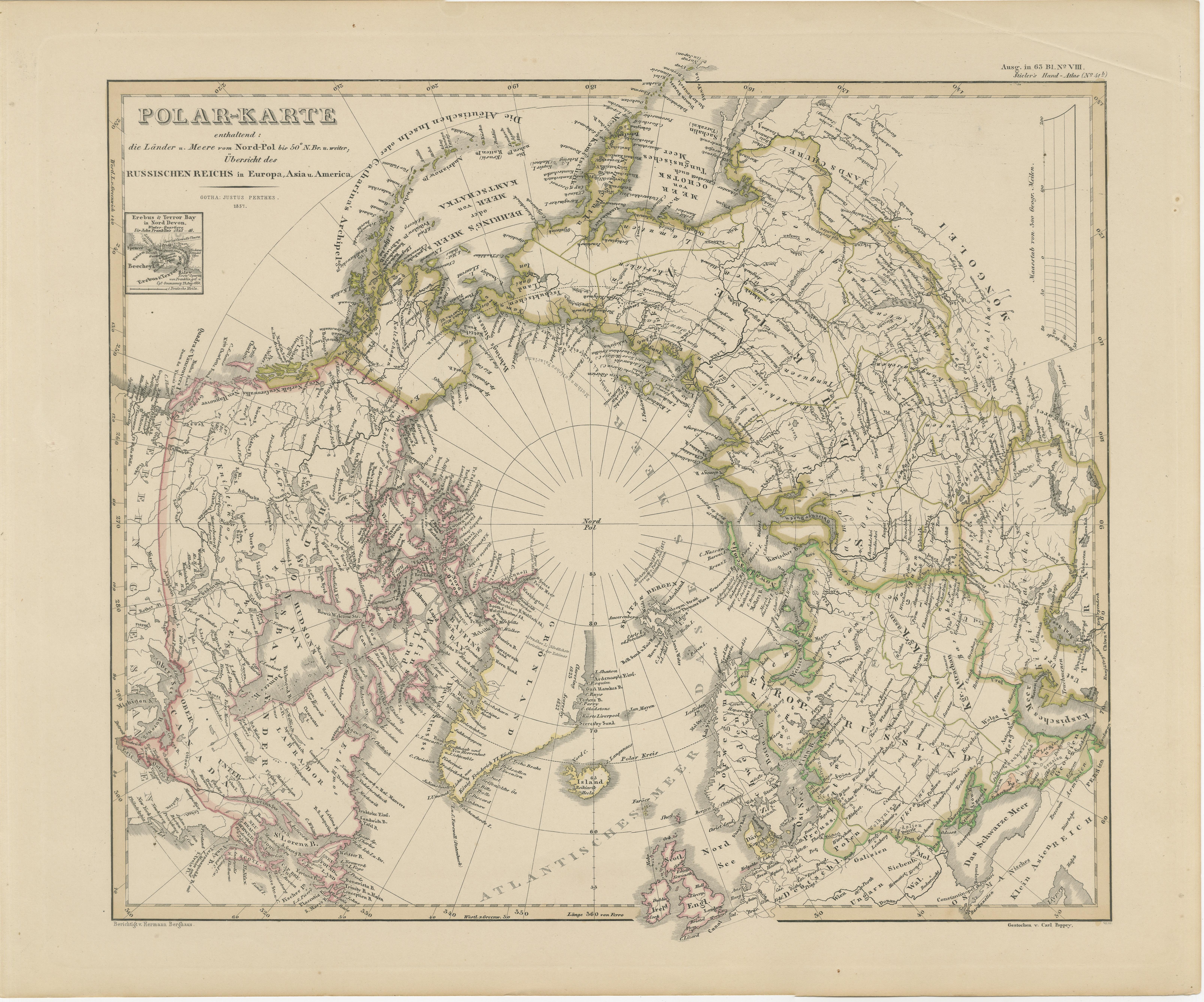
Arctic Polar Map – Greenland, North Pole & Russian Empire Regions, 1857
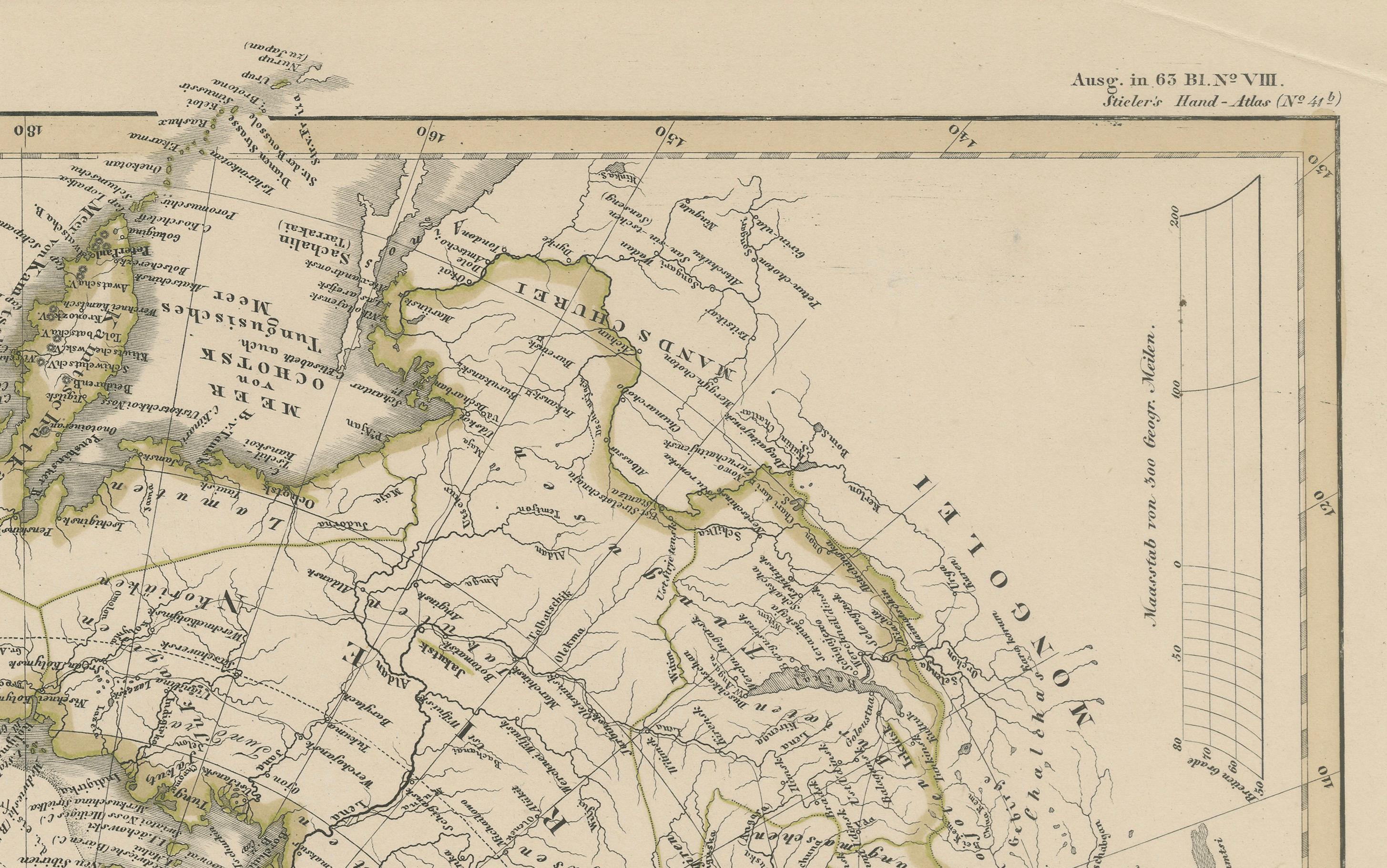
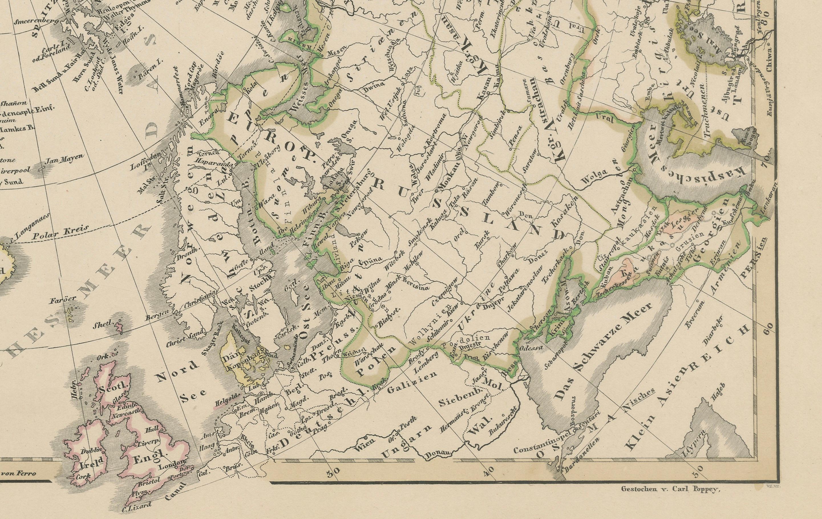
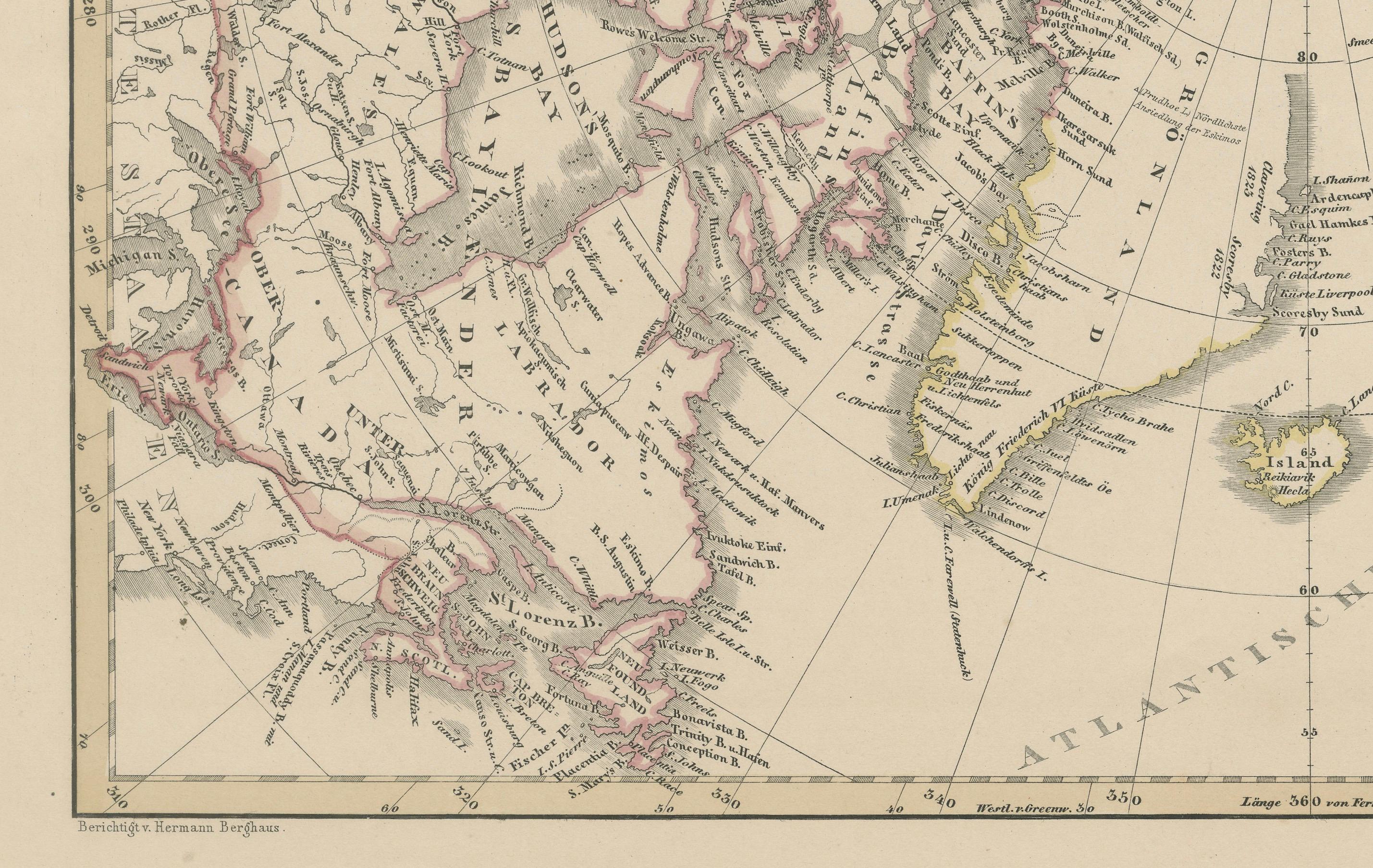
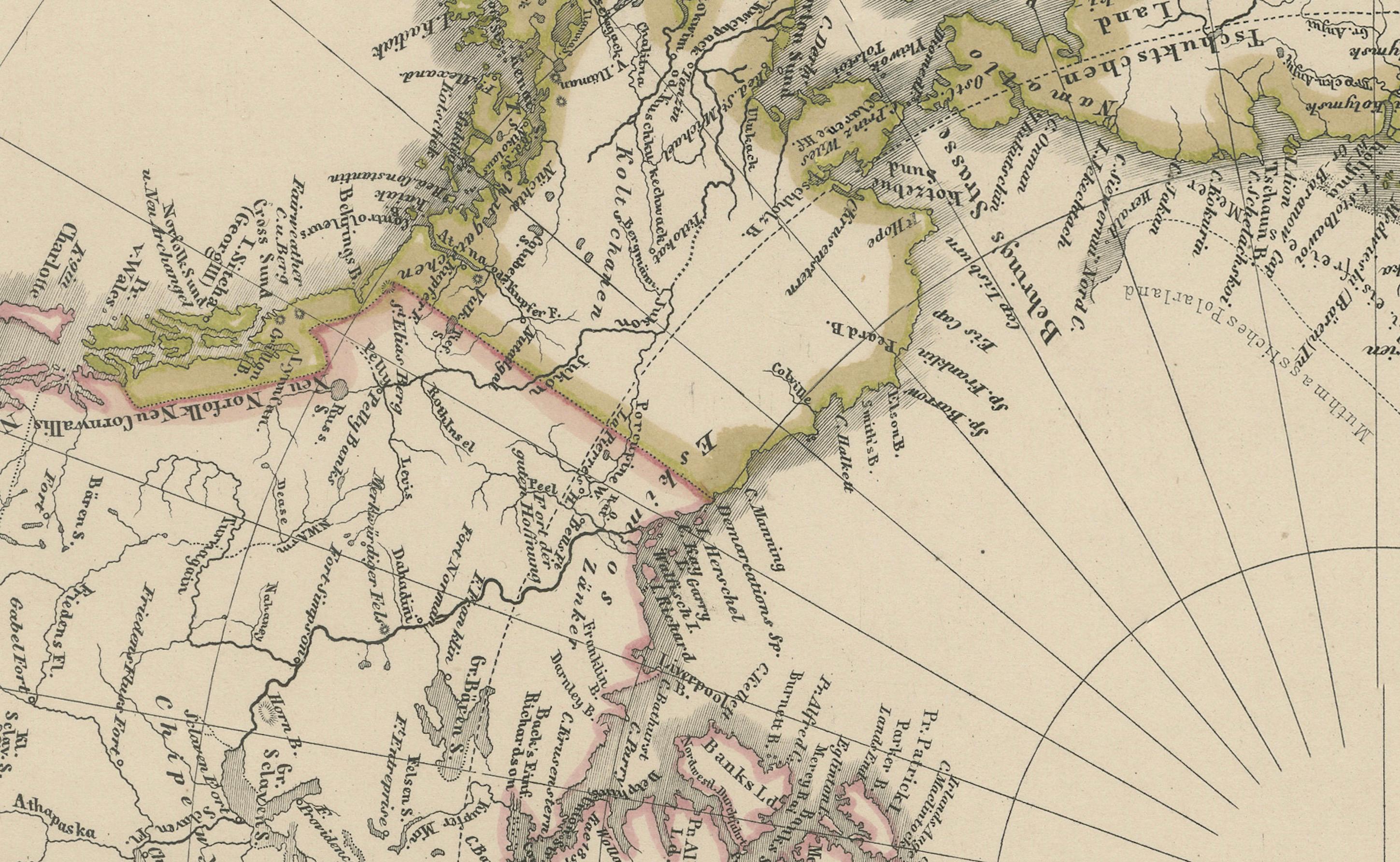
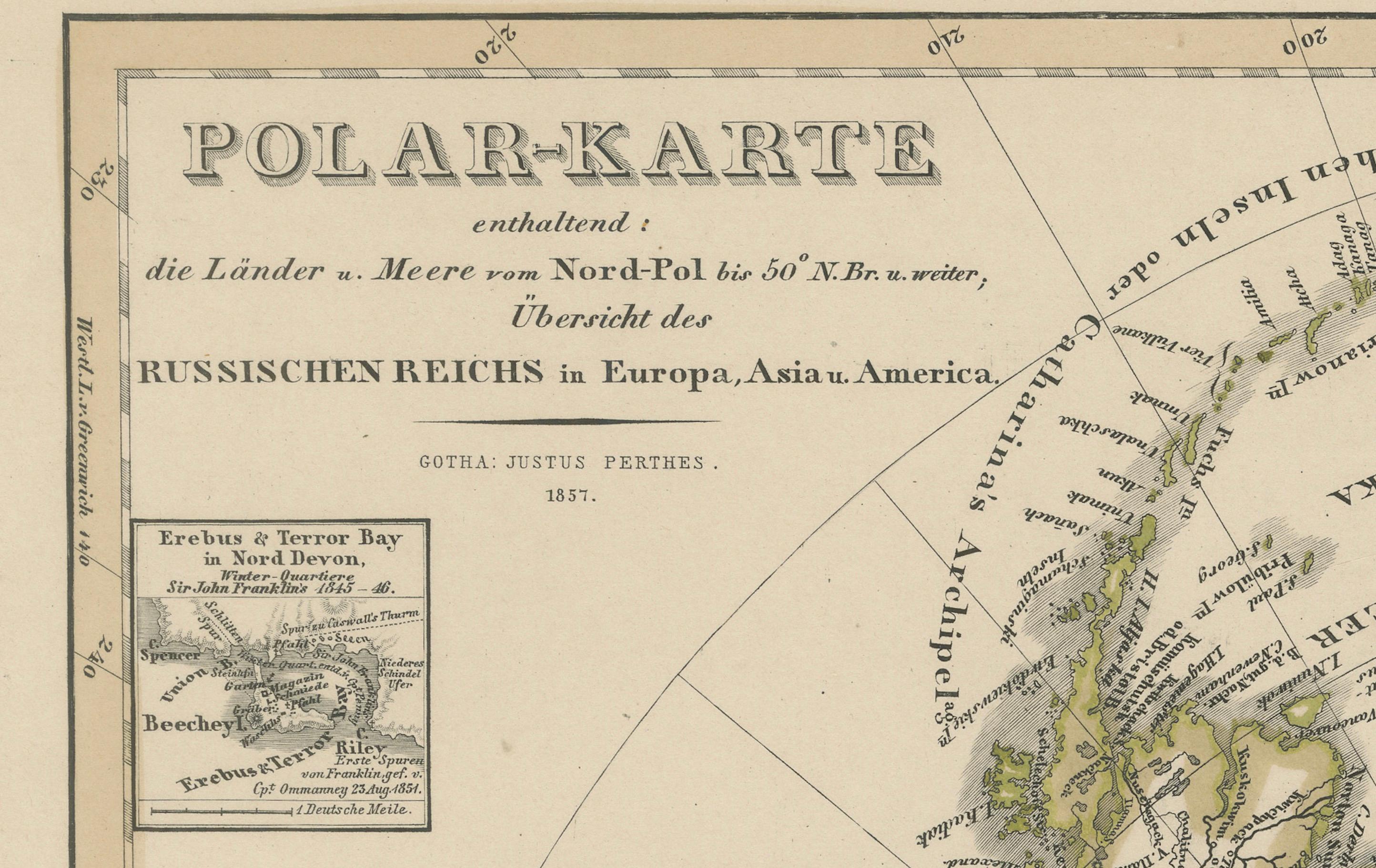
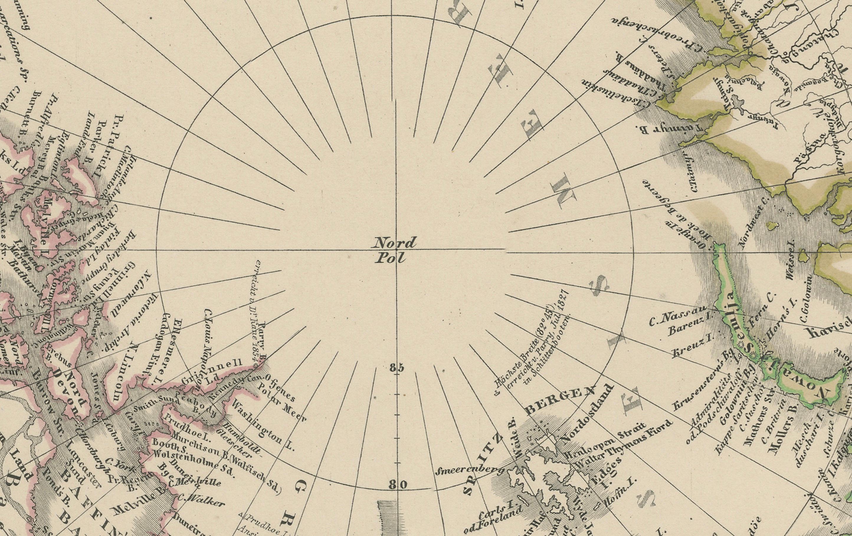
This remarkable antique print shows the Arctic titled “Polar-Karte enthaltend die Länder und Meere am Nord-Pol” meaning “Polar Map containing the lands and seas at the North Pole.” The map provides a detailed view of the Arctic regions, focusing on the northern parts of Europe, Asia, and America, and including the expansive territories of the Russian Empire. It depicts Greenland, Iceland, Norway, Sweden, Finland, Siberia, Alaska (labelled as Russian America), and Canada, alongside detailed coastlines, islands, and exploratory routes into the Arctic Ocean.
Published in 1857 in Gotha by Justus Perthes as part of Adolf Stieler’s esteemed Hand-Atlas, this engraving was produced under the editorial direction of Heinrich Berghaus, one of Germany’s foremost cartographers. Stieler’s atlases are known for their scientific accuracy and clear presentation, and this polar map is no exception.
This map is significant as it represents the mid-19th-century understanding of the Arctic, a period when exploration of polar regions was intensifying, with expeditions searching for the Northwest Passage and new trade routes. The map also highlights territorial extents of Russia before the Alaska Purchase (1867), making it a valuable historical record of pre-transfer geography.
Technique: Copperplate engraving with original outline hand colouring, used to delineate political boundaries and enhance readability. German titles and detailed notations are engraved with clarity throughout the plate.
Condition summary: Excellent condition with strong impression and minimal age toning. No tears, repairs, or significant foxing. Colours remain fresh, and the paper is firm and stable.
Framing tips: This polar map will look striking in a dark wood or black frame to emphasise its scientific and historical value, paired with a wide cream or light ivory mount to balance its detailed composition. UV-protective glass is recommended to preserve the engraving lines and original colouring.