About this sheet
Antique Map of Egypt, Nubia & Red Sea Coast – Andriveau-Goujon, Paris 1865
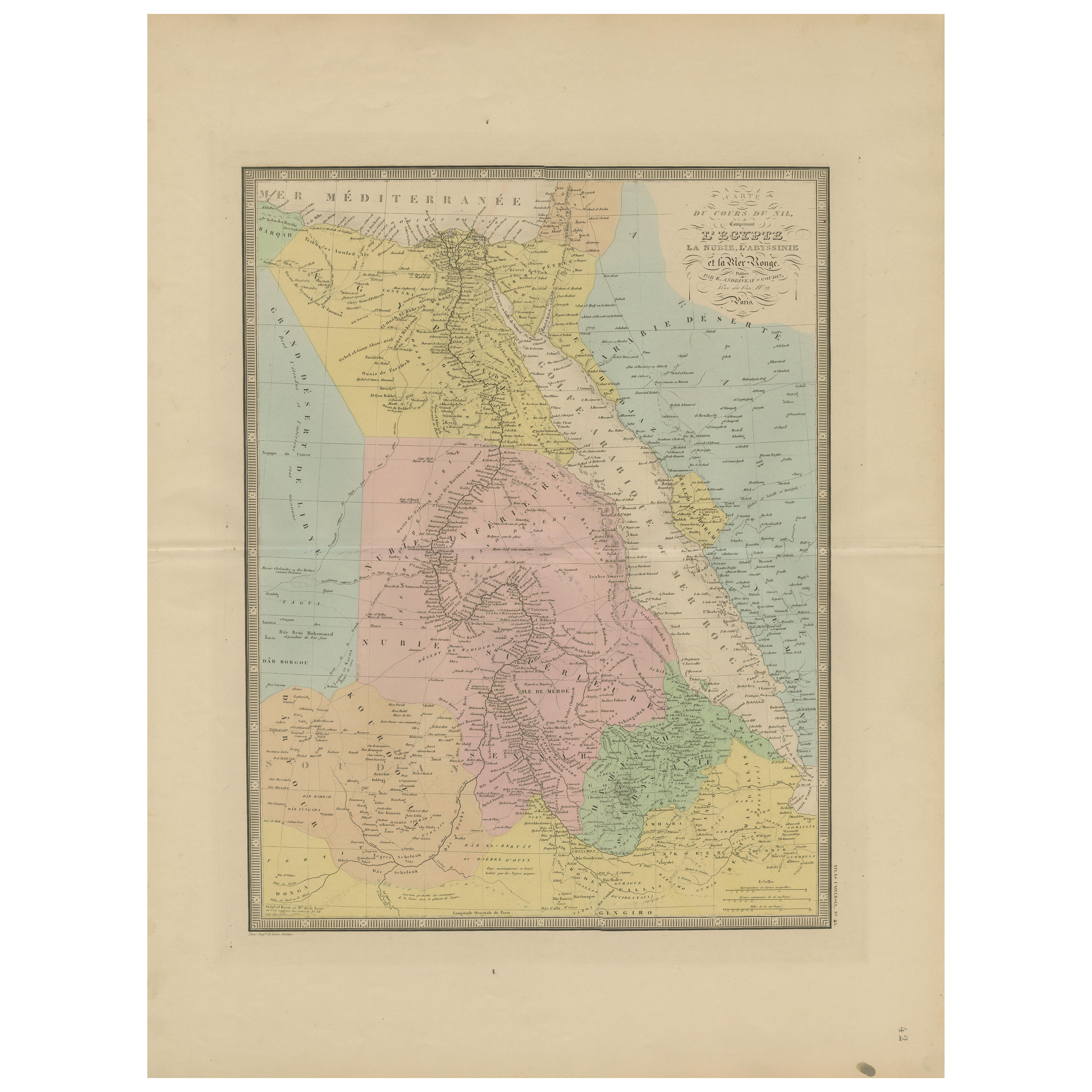
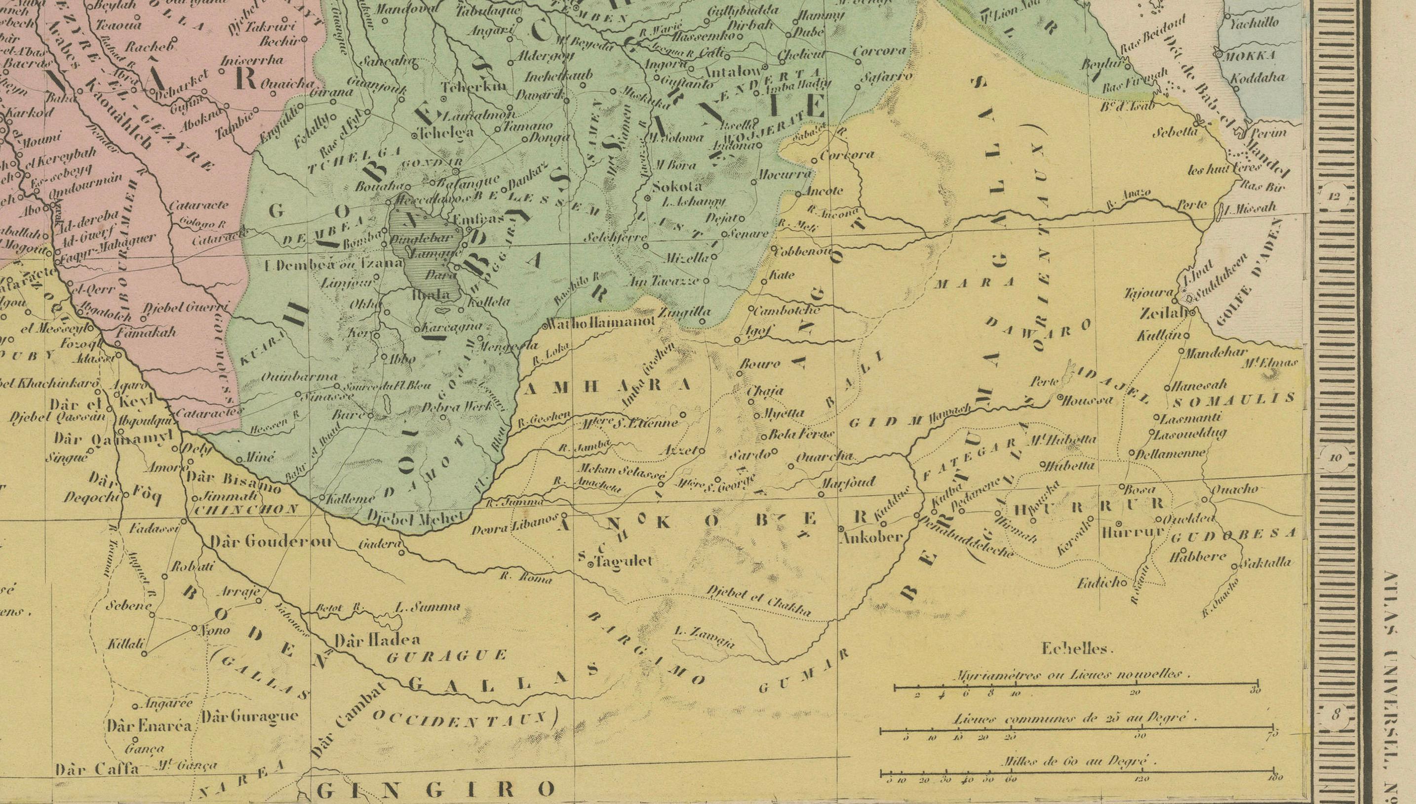
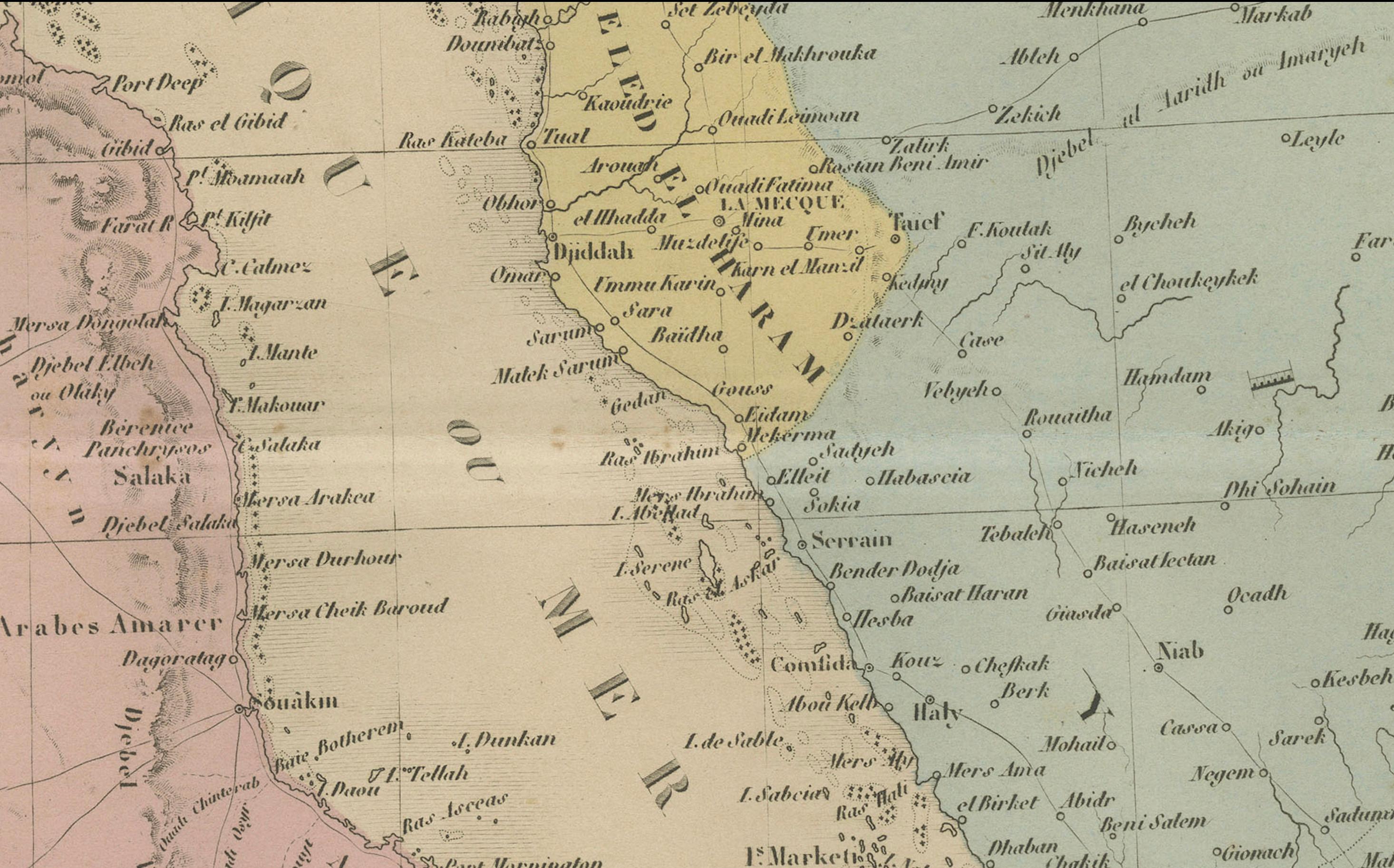
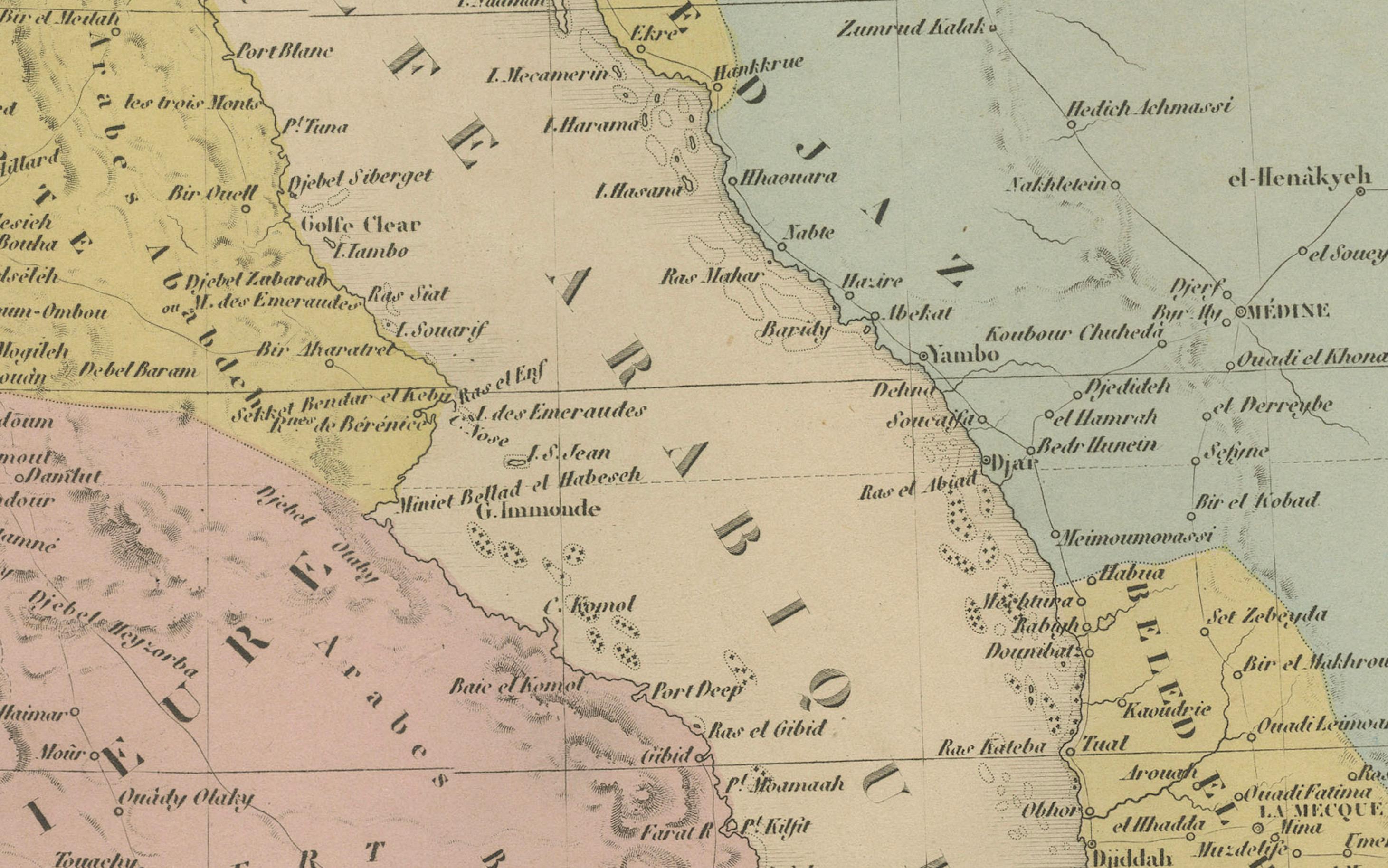
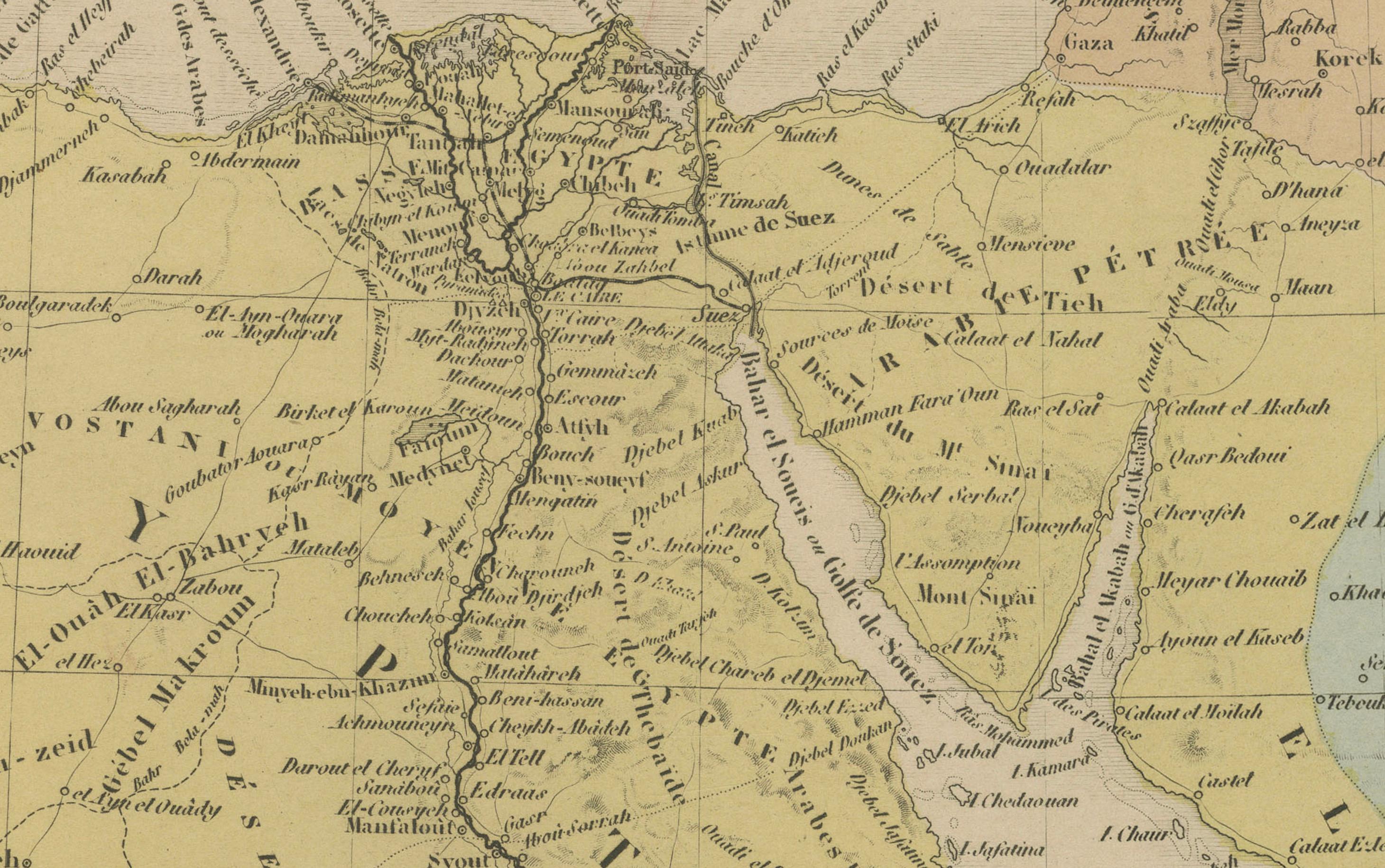
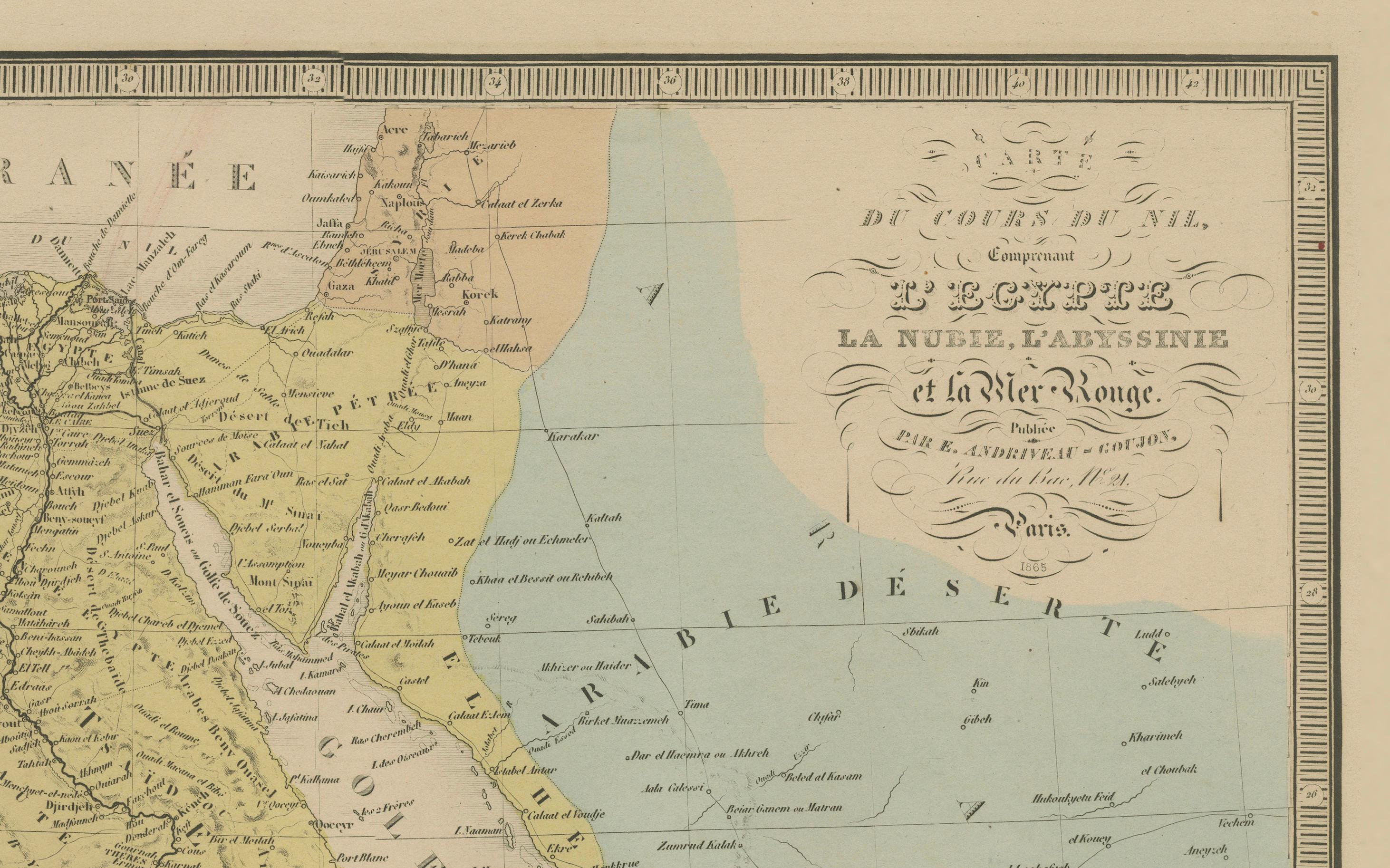
This delicately colored antique map, titled *Partie du Cours du Nil comprenant l'Égypte, la Nubie, l'Abyssinie et la Mer Rouge*, was engraved and published in Paris in 1865 by E. Andriveau-Goujon. It was issued as part of the Atlas Universel, a monumental cartographic work known for its clarity, precision, and fine aesthetic detailing.
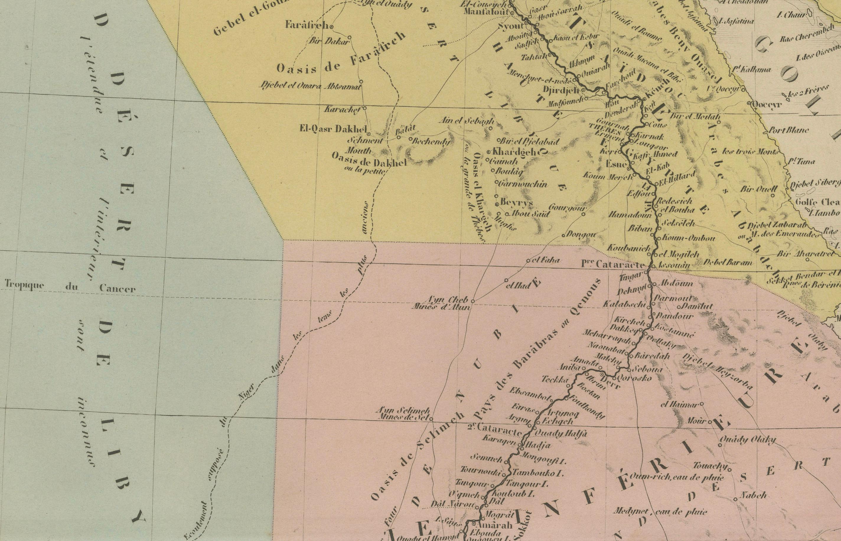
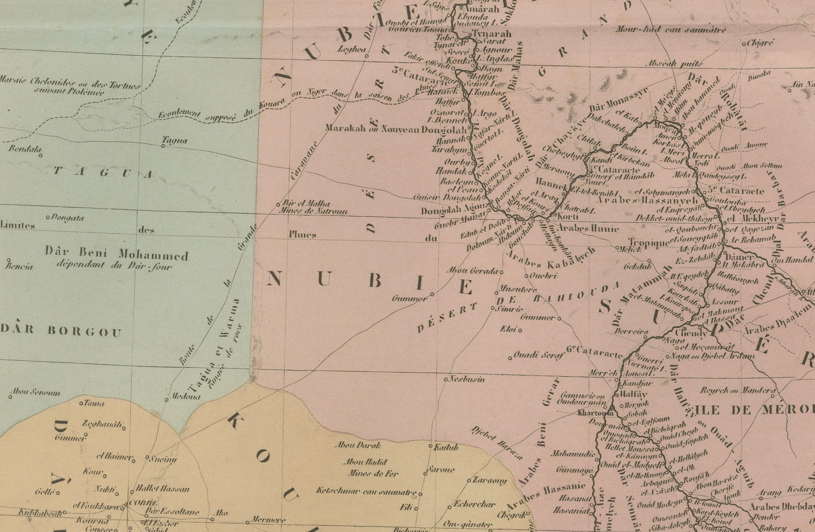
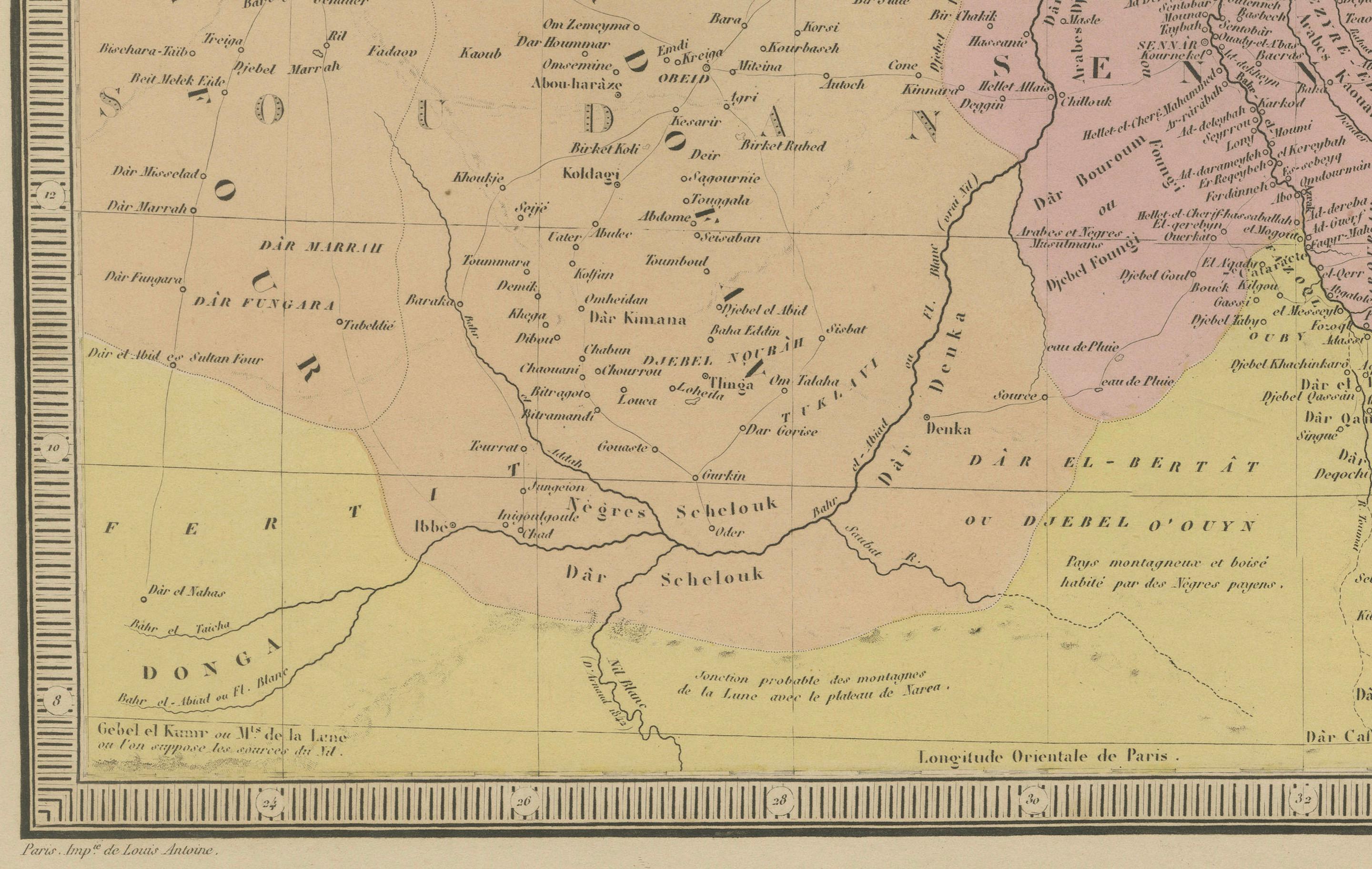
The map focuses on the northeastern quadrant of Africa, tracing the course of the Nile River from its mouth in the Mediterranean through Egypt and Nubia, deep into the then-mysterious central interior of Africa. Major cities such as Cairo, Thebes (Luxor), Dongola, Khartoum, and Gondar are labeled, as well as regions such as Nubie (Nubia), Sennar, Darfour, Kordofan, and Abyssinie (Ethiopia).
Geographical features like the White Nile and Blue Nile are distinguished, and significant emphasis is placed on the mountainous and desert terrain flanking the Nile basin. The Red Sea coast is depicted in detail, showing ports, settlements, and inland connections important for trade and pilgrimage routes.
What makes this map particularly significant is its capture of African geography during a period of growing European interest in exploration and colonization. At the time, much of central Africa remained only partially mapped, and Andriveau-Goujon’s attempt to represent key ethnographic, political, and hydrological elements reflects both contemporary knowledge and speculative geography.
To collectors and historians, this is an important visual document of 19th-century African cartography, representing colonial, scientific, and navigational ambitions of the era.
Condition: Very good. Sharp plate impression, with attractive original hand coloring. Slight age toning at the margins, original centerfold visible. No tears or repairs.
Framing tips: Best suited to a gold or walnut wooden frame with a soft cream or light beige mat to match the antique paper tone and highlight the vivid color borders.
Technique: Engraving with original hand coloring
Maker: E. Andriveau-Goujon, Paris, 1865