Rare 1888 Map of Arizona – Railroads, Mines & Early Frontier Settlements
€ 480
Original antique · The actual sheet photographed · Certificate of authenticity on request · Sold unframed · Worldwide shipping from € 15 (rates)
Date
1888
Sheet size
52.5 × 36 cm (20.7 × 14.2 in)
Condition
Good
Reference
BG-12794-63
What the condition grades mean
Excellent
Bright and clean, with no faults worth mentioning.
Very good
Only light signs of age, such as faint toning.
Good
Normal signs of age for a sheet of this period: toning, some foxing, small marks or neat old repairs.
Fair
Clear faults such as staining, tears or repairs, priced to match.
Every fault we see is written in the condition note, and the whole sheet is shown uncropped in the photos.
Condition
Condition summary: Good condition overall. Light toning consistent with age, faint foxing in some margins, and original fold lines as issued. Paper remains strong with no significant tears or repairs. Clear plate impression throughout.
About this sheet
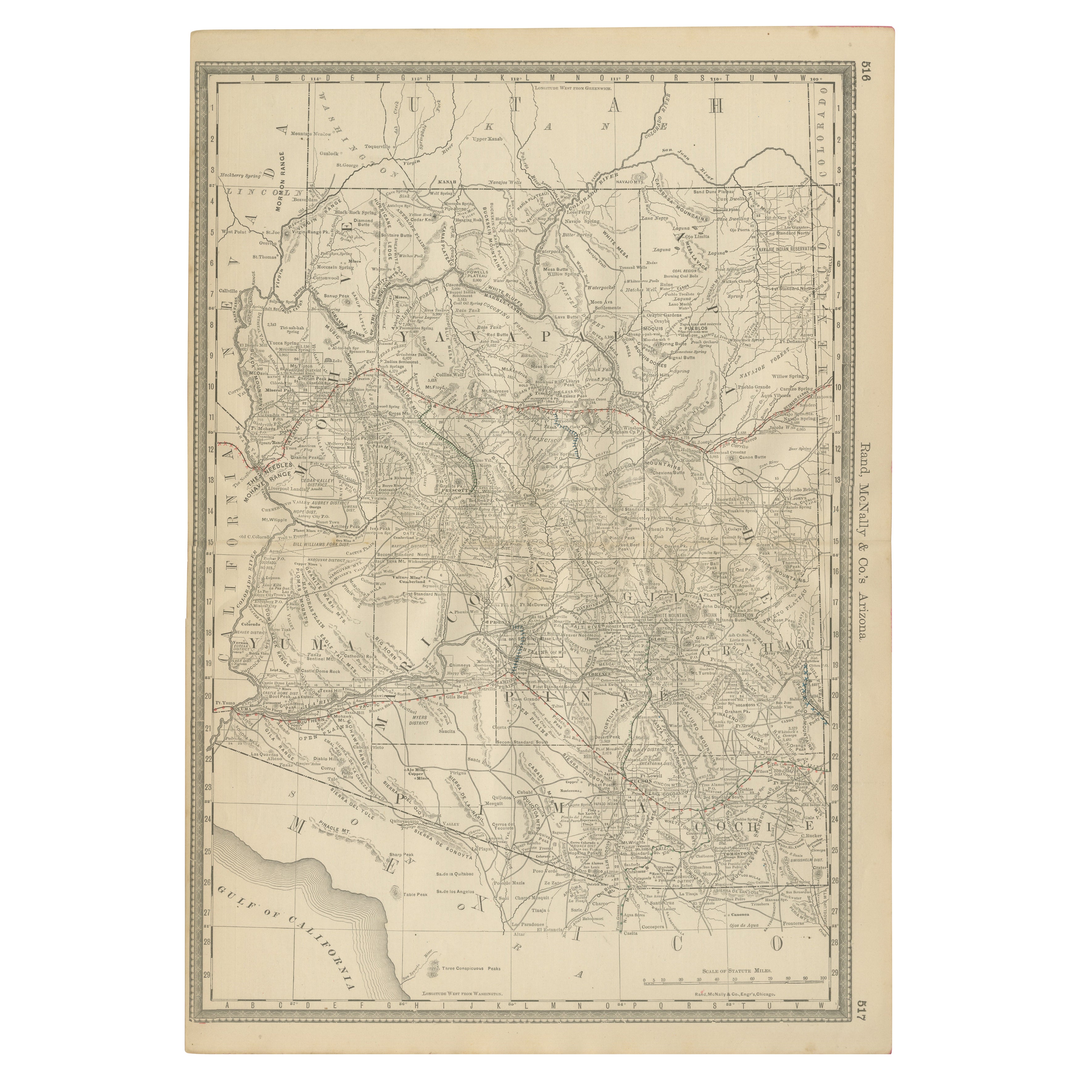
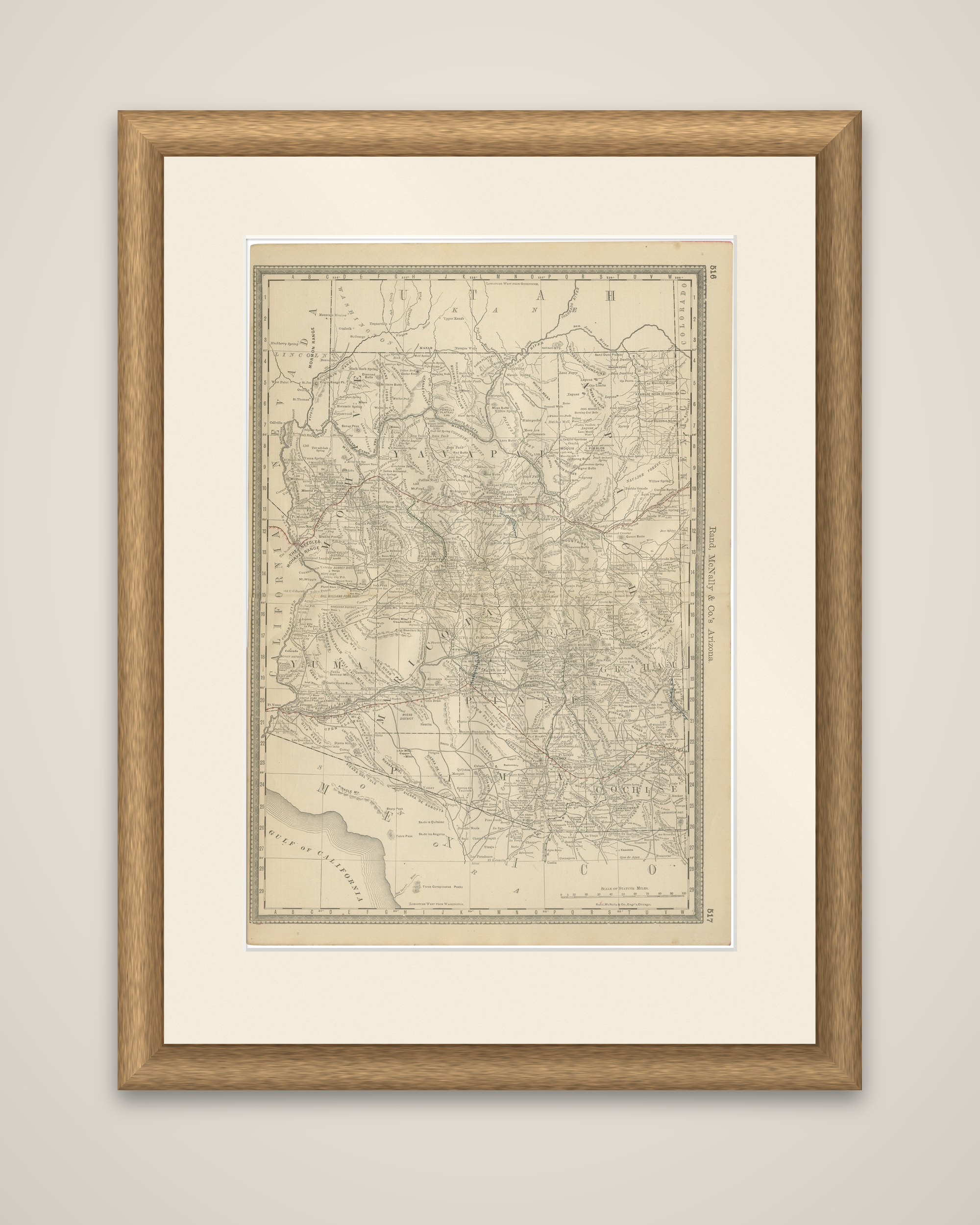
The Territory of Arizona in 1888, an original atlas map from Rand, McNally & Co.'s Improved Indexed Business Atlas and Shippers Guide, titled "Rand, McNally & Co.'s Arizona" in the right margin.
The territory is drawn in detail, with county boundaries and county names across the sheet, among them Mohave, Yavapai, Yuma, Maricopa, Pima, Pinal and Cochise. Railroads are traced in red and blue: the Southern Pacific crossing the south from Yuma through the Tucson area toward New Mexico, and the Atlantic & Pacific line running across the northern part of the territory through Flagstaff and Winslow. Towns, mining camps, stage roads, rivers, ranges and military posts are lettered throughout, including Prescott, Tucson, Phoenix, Tombstone and Nogales. Utah and Nevada lie along the top, California at the left, New Mexico at the right, and Mexico below, with the head of the Gulf of California at the lower left.
Arizona did not become a state until 1912, so the sheet shows the region as a territory in the years when the railroads and the mines were bringing it into the national economy.