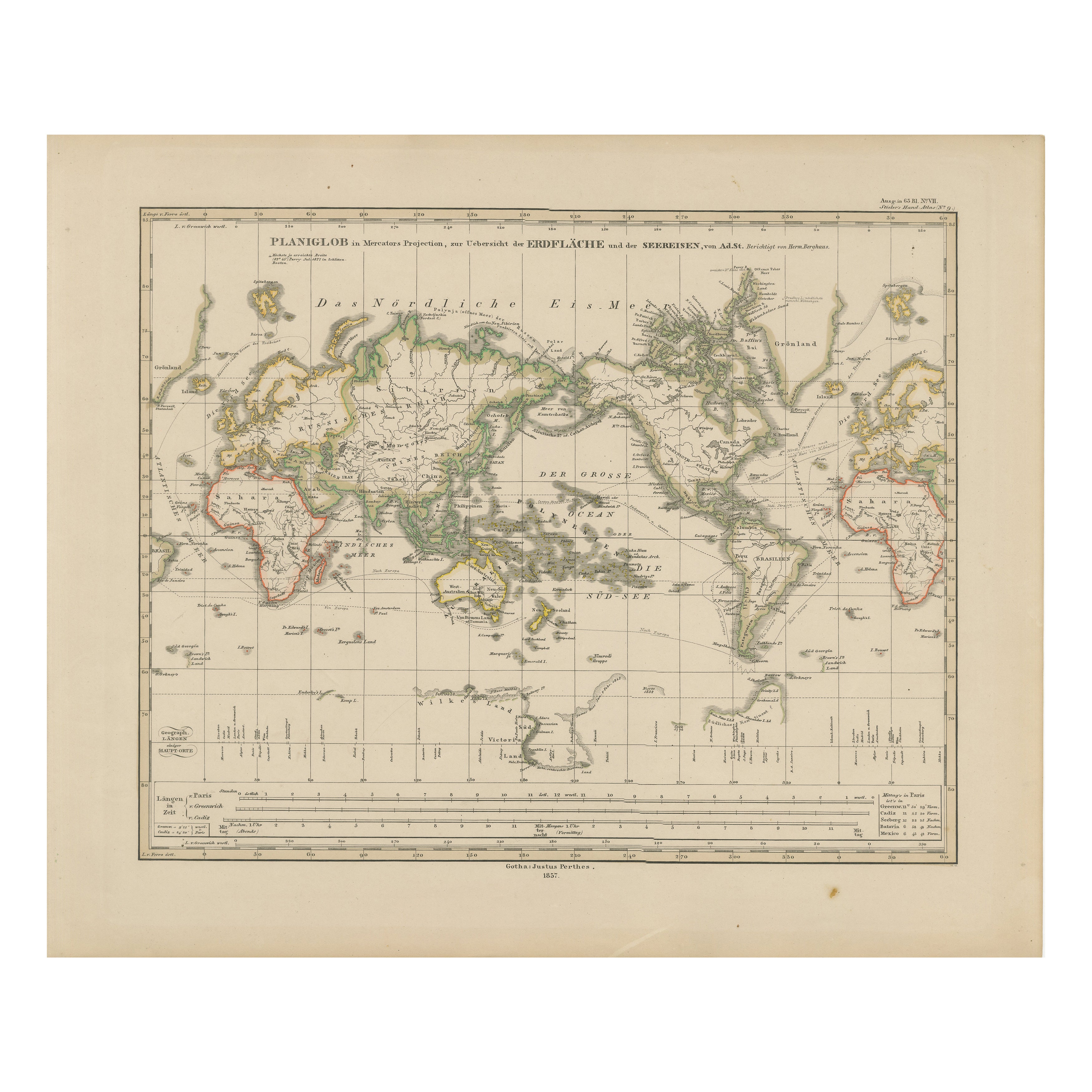
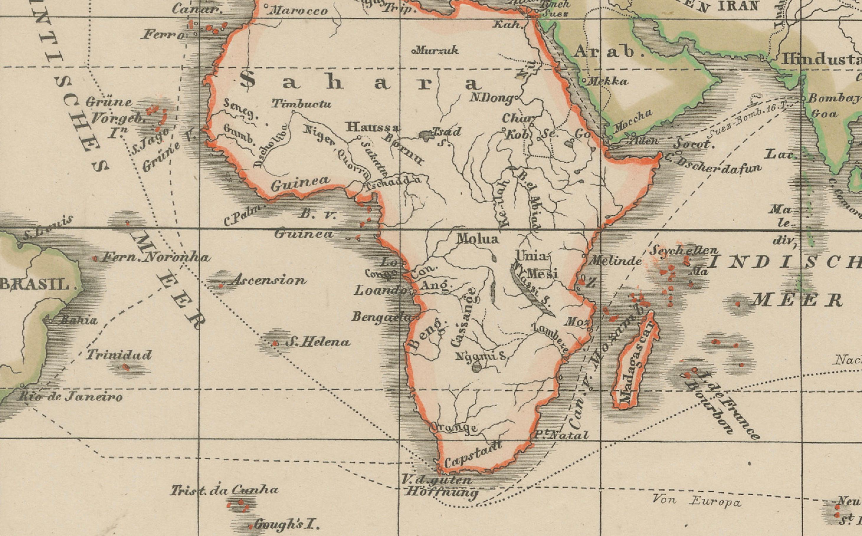
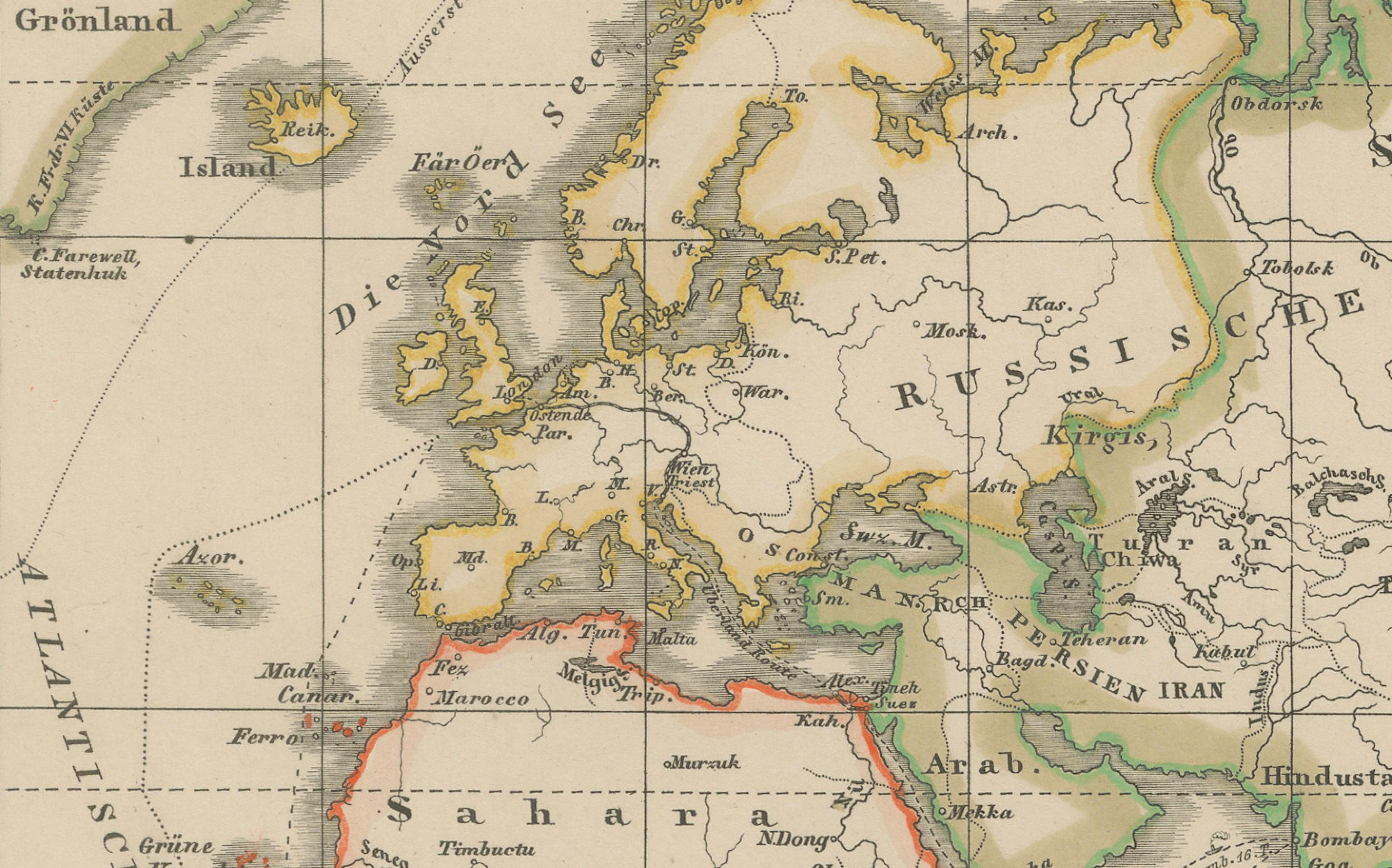
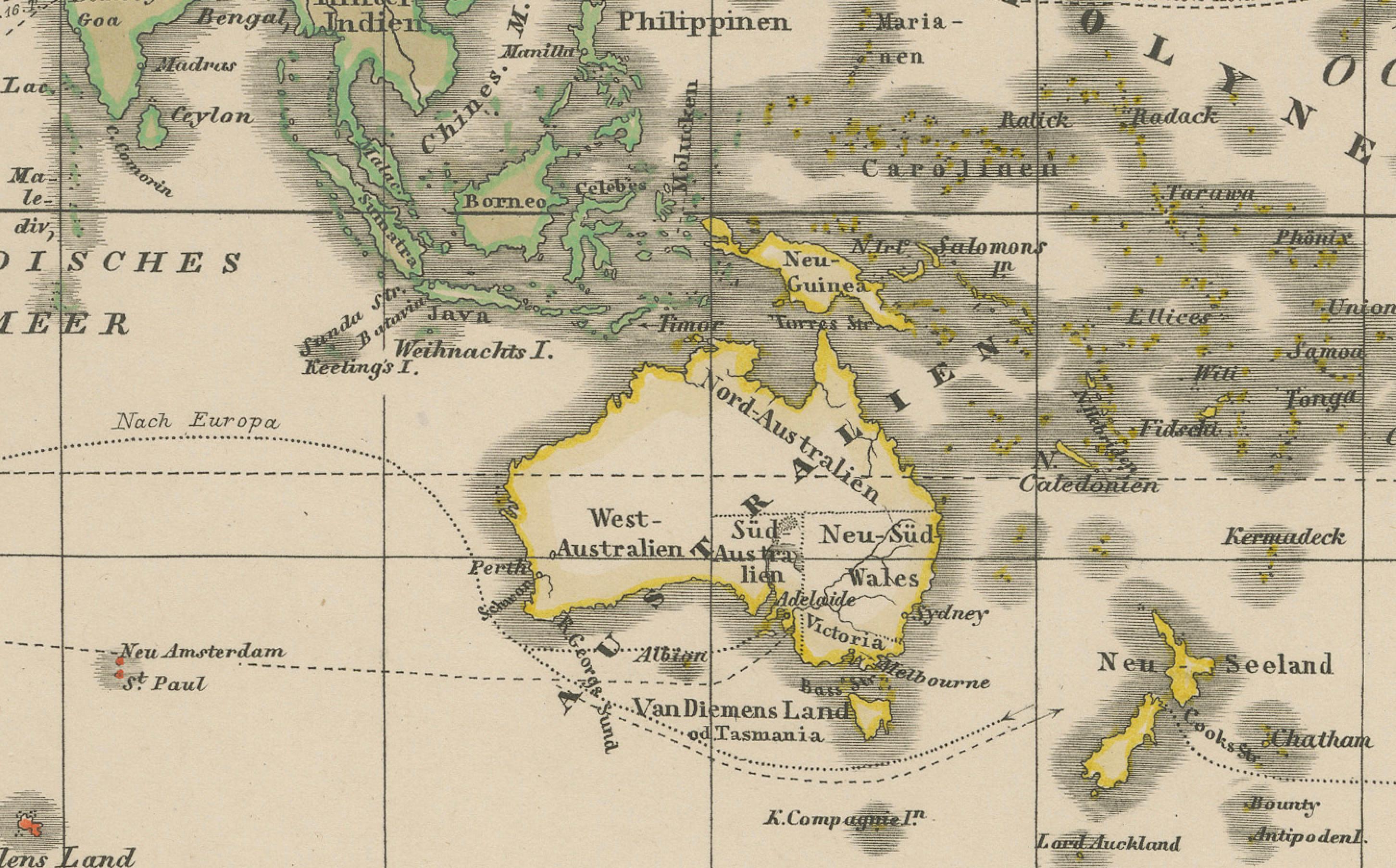
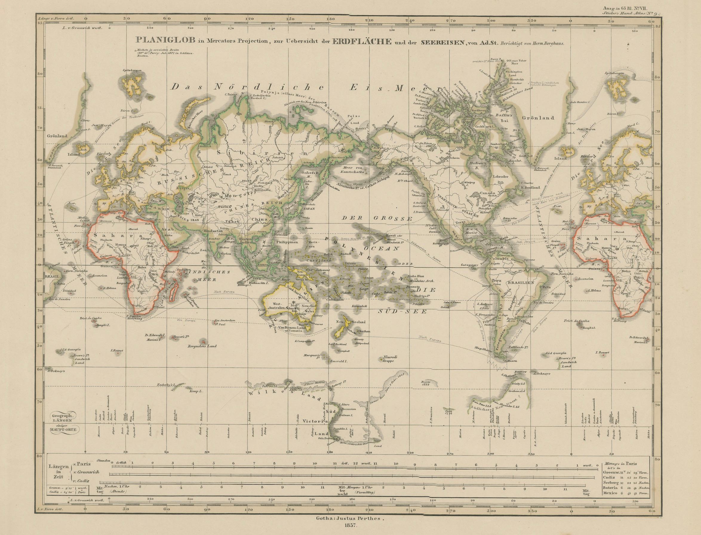
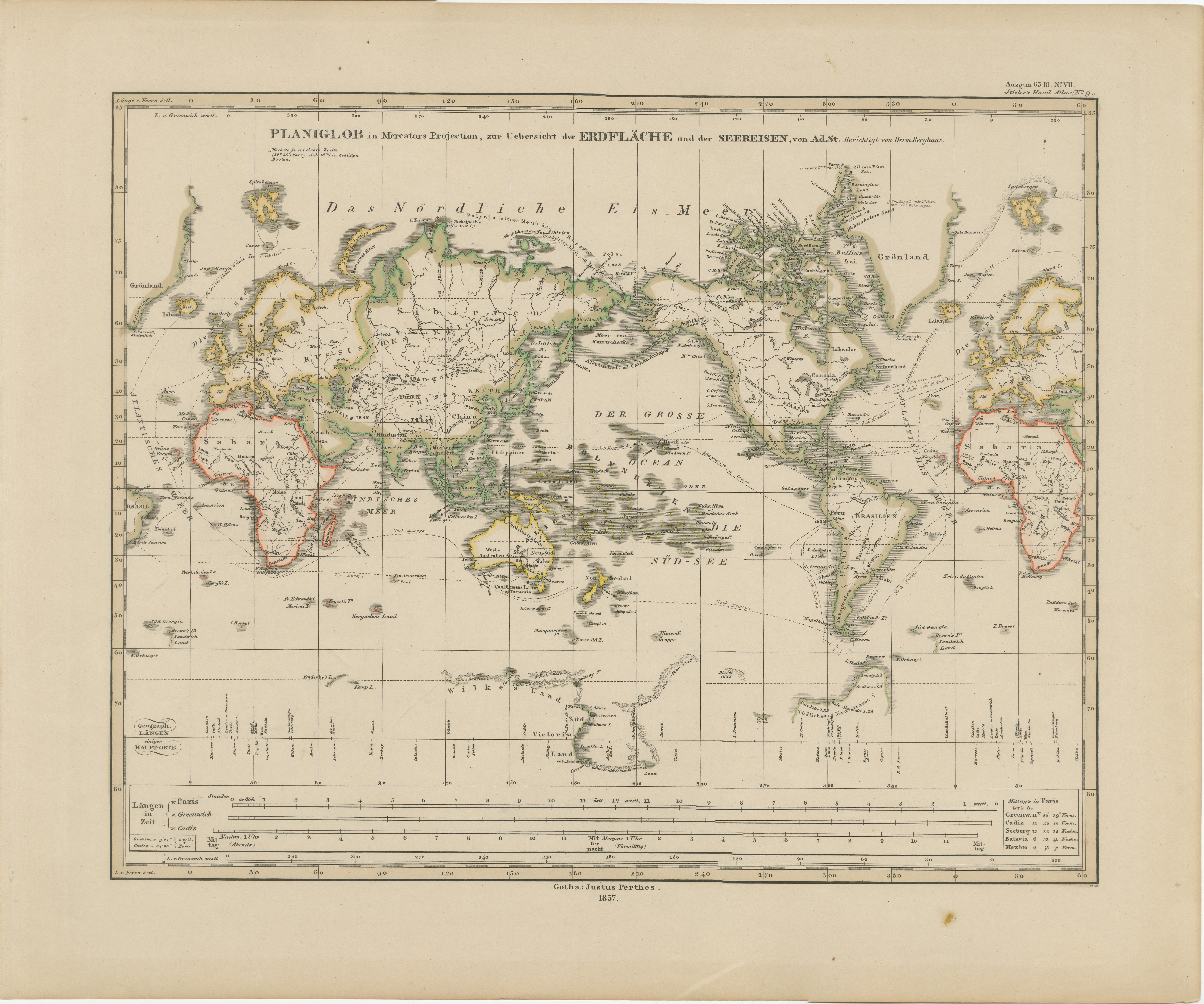
World Map – Mercator Projection with Global Sea Routes, Published in 1857
€ 380
One of a kind: this is the sheet in the photographs. Ships from Langweer, the Netherlands.
Date
1857
Sheet size
37.5 × 45.4 cm (14.8 × 17.9 in)
Condition
Good
Reference
BG-05552-8
Condition
Condition summary: Excellent condition with strong impression and minimal toning. No tears, repairs, or significant foxing. Colours remain fresh, and the paper is strong throughout.
About this sheet
World Map – Mercator Projection with Global Sea Routes 1857
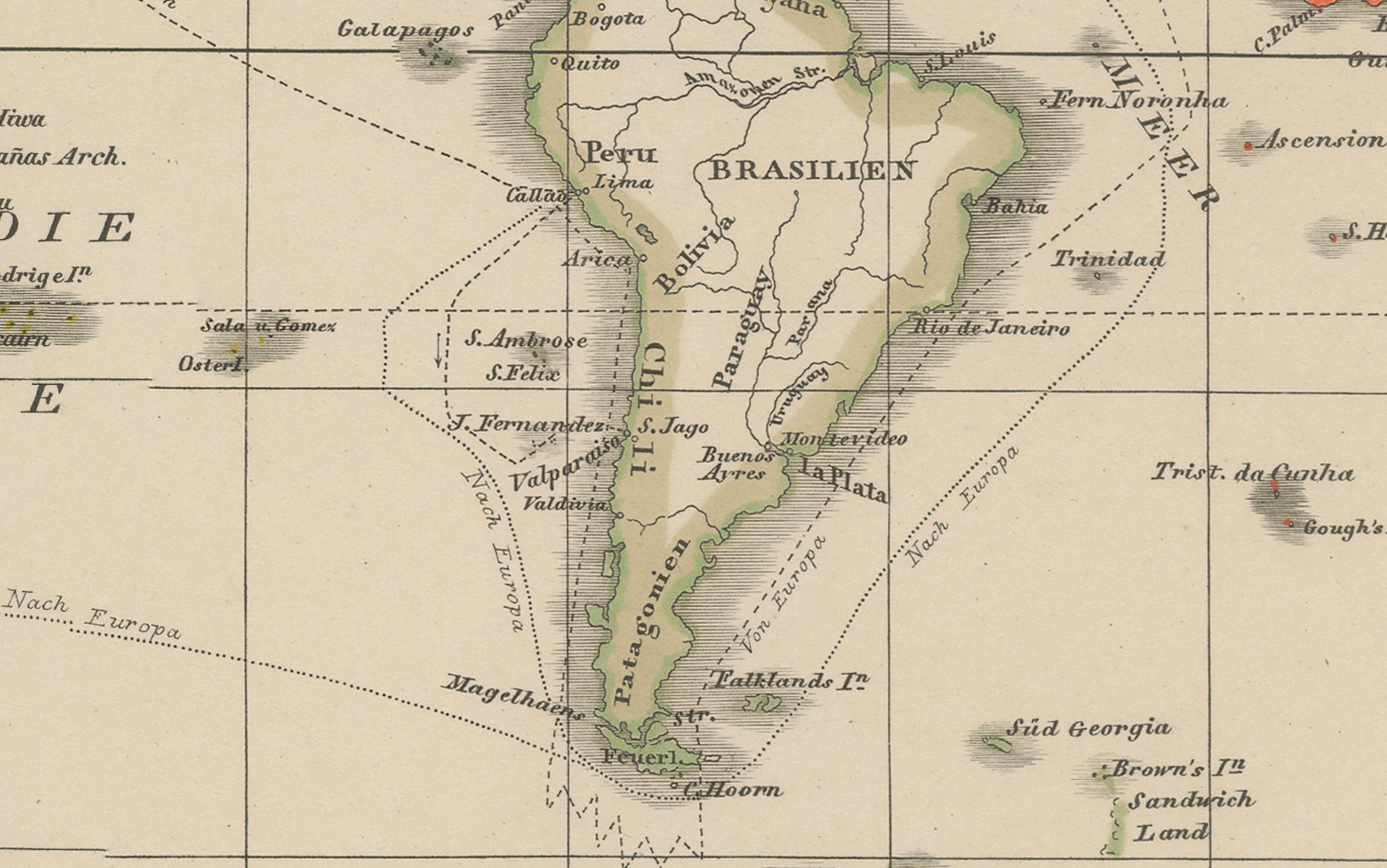
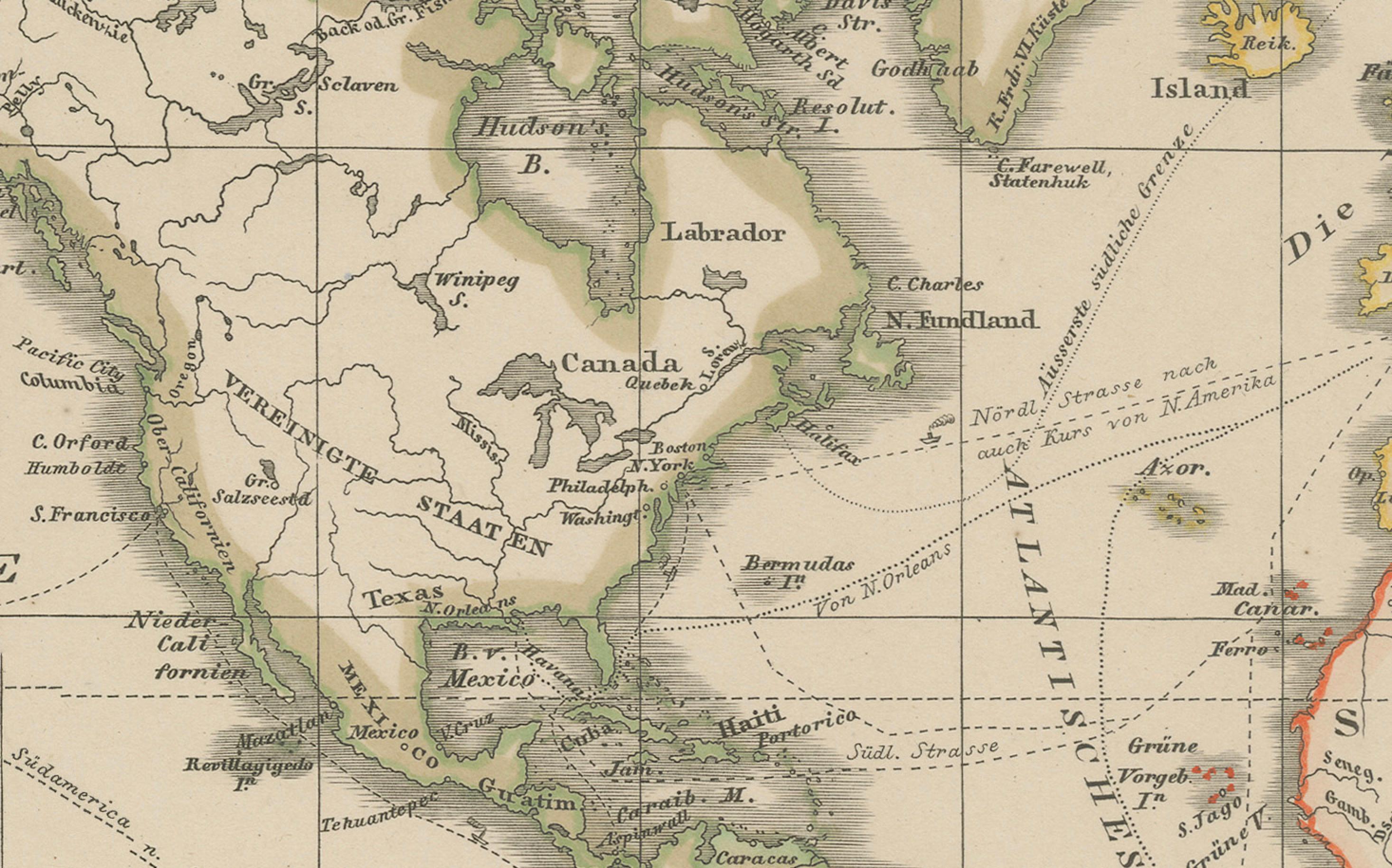
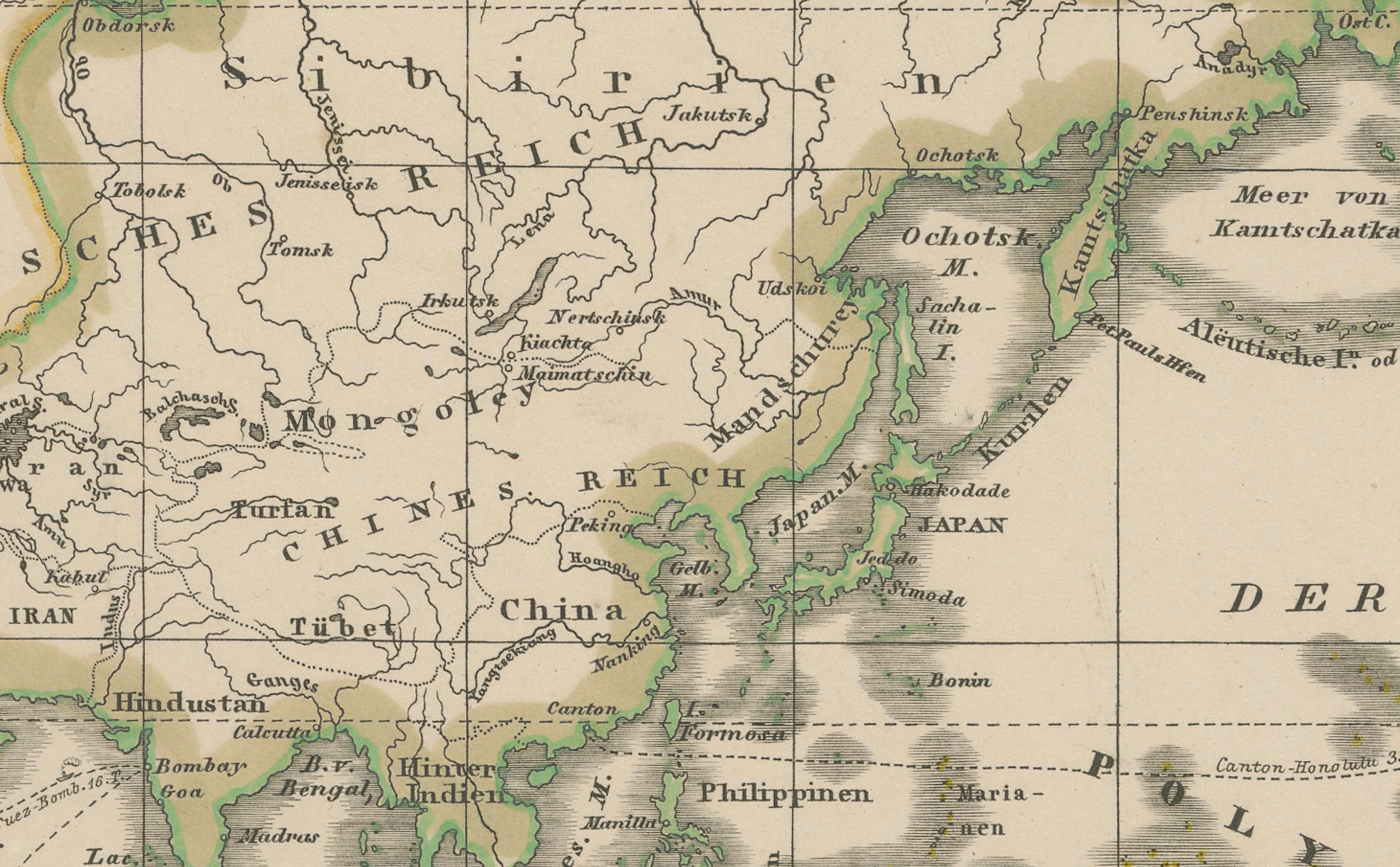
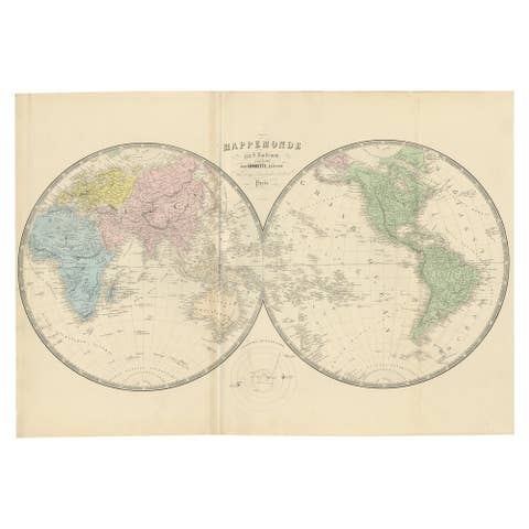
This attractive antique print shows a world map titled “Planiglob in Mercators Projection zur Übersicht der Erdfläche und der Seereisen,” meaning “Planiglob in Mercator Projection for Overview of the Earth’s Surface and Sea Voyages.” The map presents the world using Mercator’s projection, highlighting continents with coloured borders and featuring detailed coastlines, major rivers, and mountain ranges. Notably, the map shows sea routes and comparative scales, providing a valuable overview for mid-19th-century navigators and scholars.
Published in 1857 by Justus Perthes in Gotha as part of Adolf Stieler’s renowned Hand-Atlas, this engraving was prepared under the editorial supervision of the distinguished German cartographer Heinrich Berghaus. Stieler’s atlas was celebrated for its clarity and precision, becoming an essential reference work in academic and scientific circles across Europe.
This map is significant as it illustrates global exploration and trade routes at a time when steamship travel was transforming international commerce and geopolitical relations. The depiction of ocean currents, longitudinal scales, and landmass outlines reflects the era’s focus on practical navigation and geographic understanding, essential for colonial expansion and scientific expeditions.
Technique: Copperplate engraving with original outline hand colouring, used to differentiate national and continental boundaries while maintaining a clean scientific presentation. The engraved German titles and notations provide rich context for scholars and collectors.
Condition summary: Excellent condition with strong impression and minimal toning. No tears, repairs, or significant foxing. Colours remain fresh, and the paper is strong throughout.
Framing tips: This world map will display beautifully in a black or dark wood frame to emphasise its cartographic precision, paired with a wide ivory or light cream mount to soften the presentation and draw attention to its detailed engraving. UV-protective glass is recommended to maintain the sharpness of its lines and prevent fading.