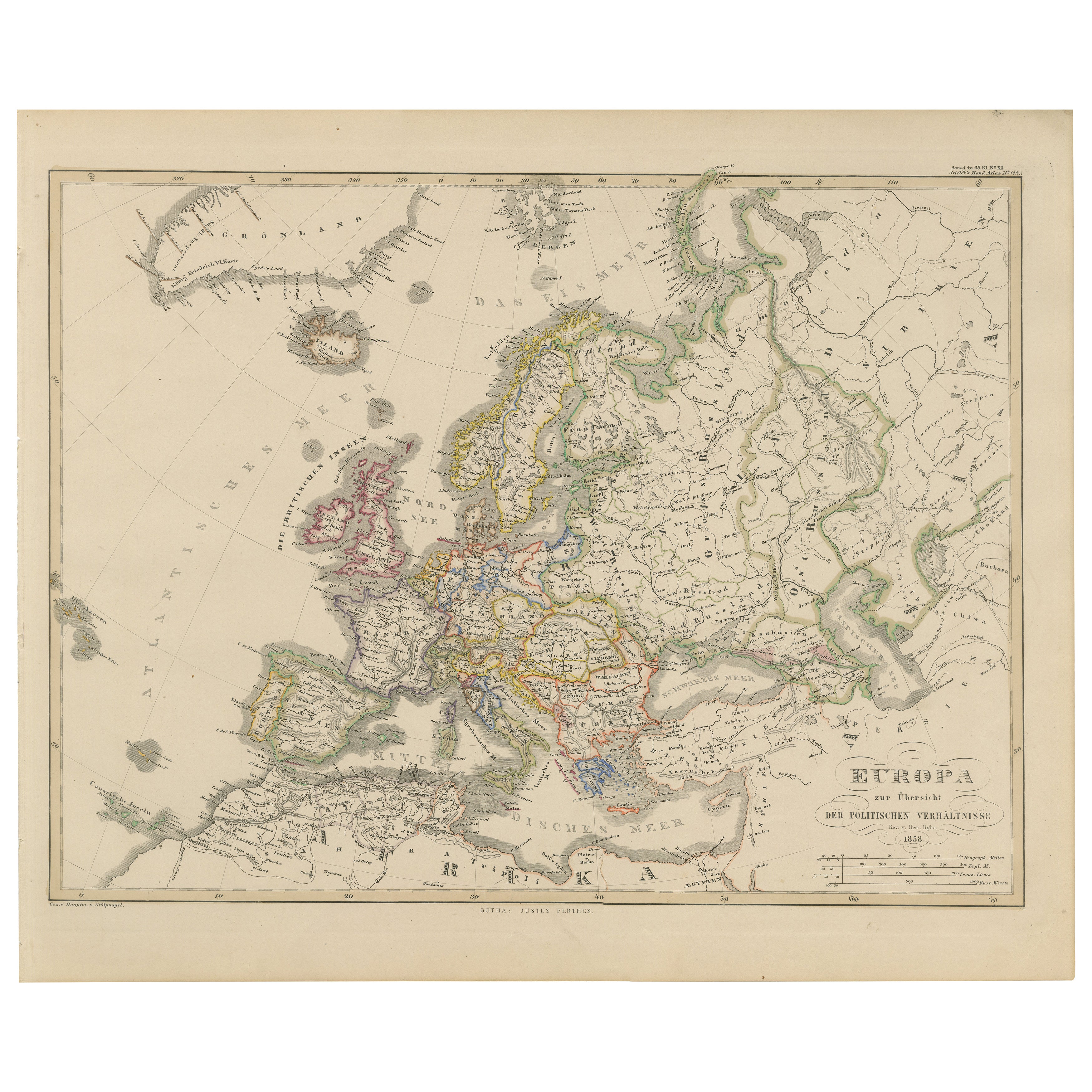
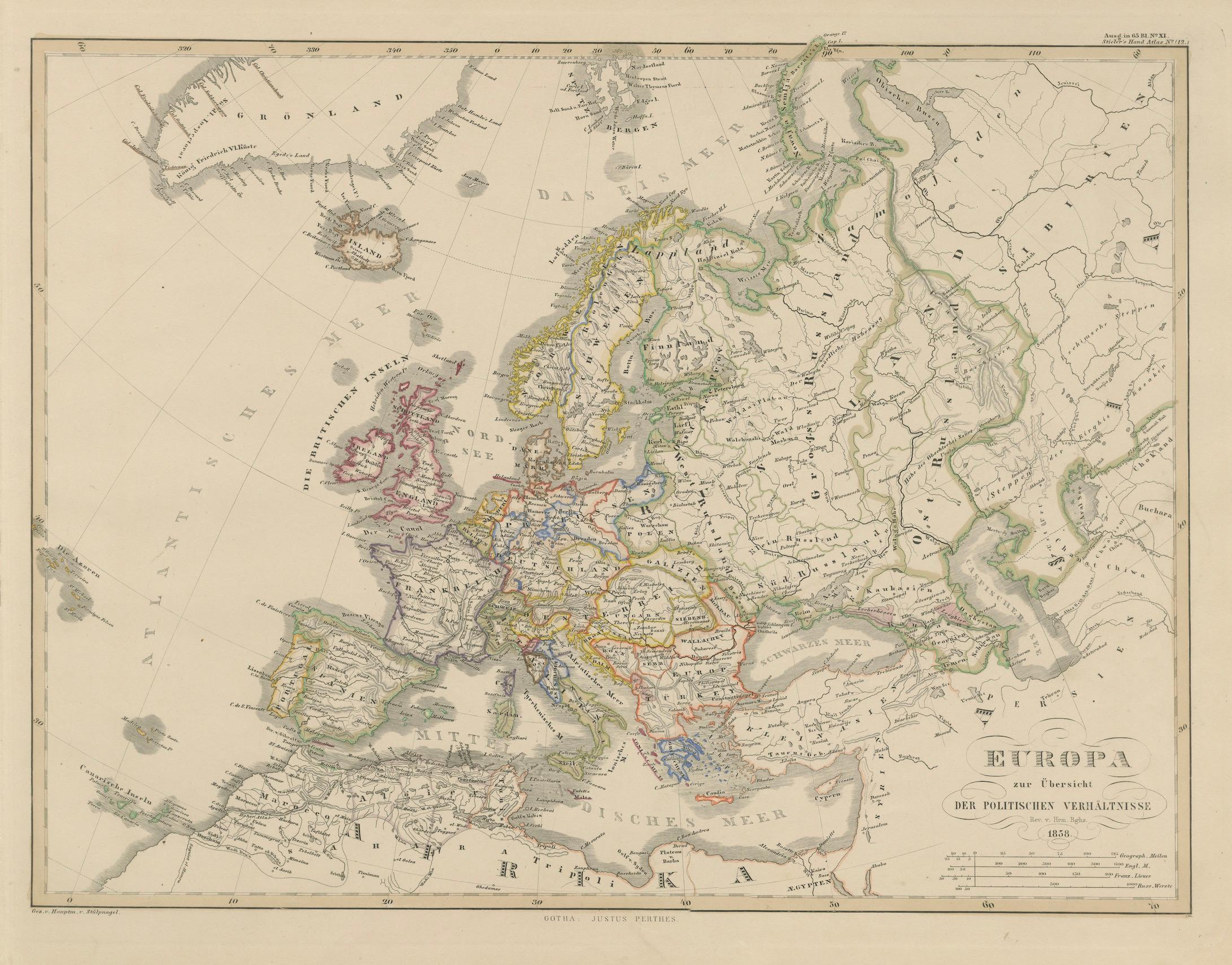
Europe Map – Political Divisions and Borders, Published in 1858
€ 340
One of a kind: this is the sheet in the photographs. Ships from Langweer, the Netherlands.
Date
1858
Sheet size
37.5 × 45.4 cm (14.8 × 17.9 in)
Condition
Good
Reference
BG-05552-12
Condition
Condition summary: Excellent condition with strong impression, minimal age toning, no tears or repairs. Colours remain vivid and paper is firm and stable.
About this sheet
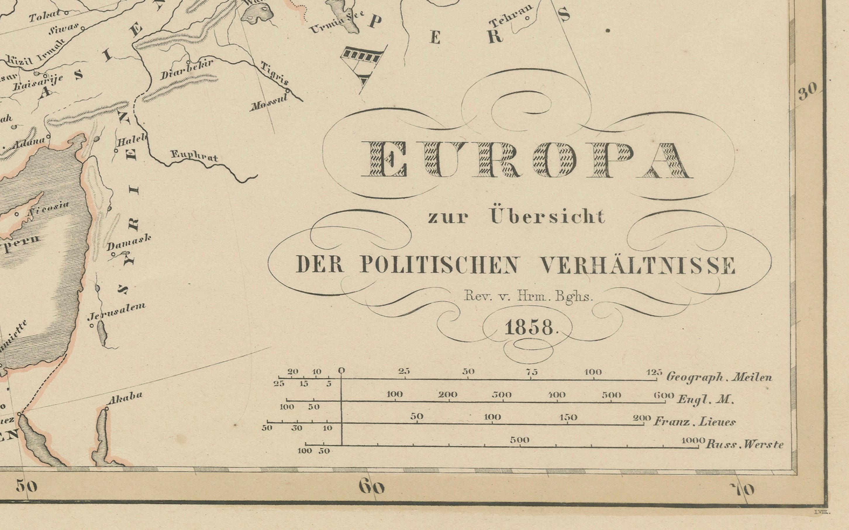
Europe Map – Political Divisions and Borders 1858
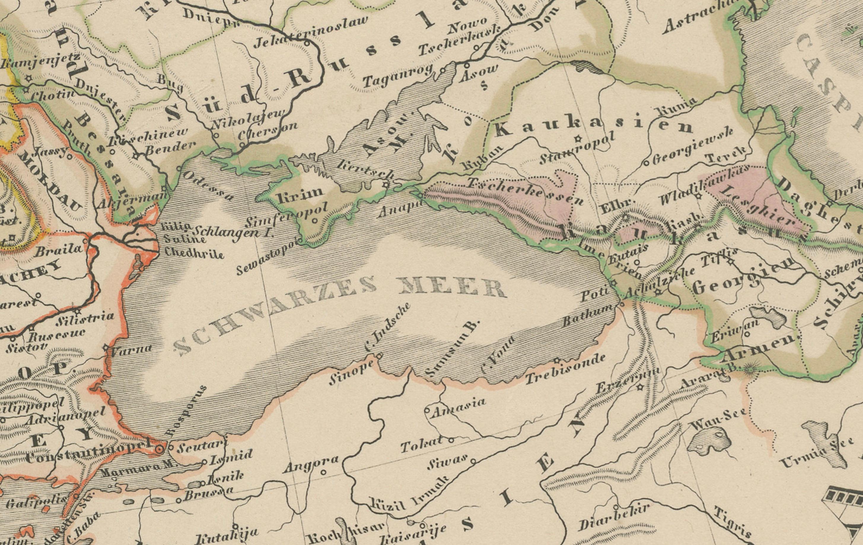
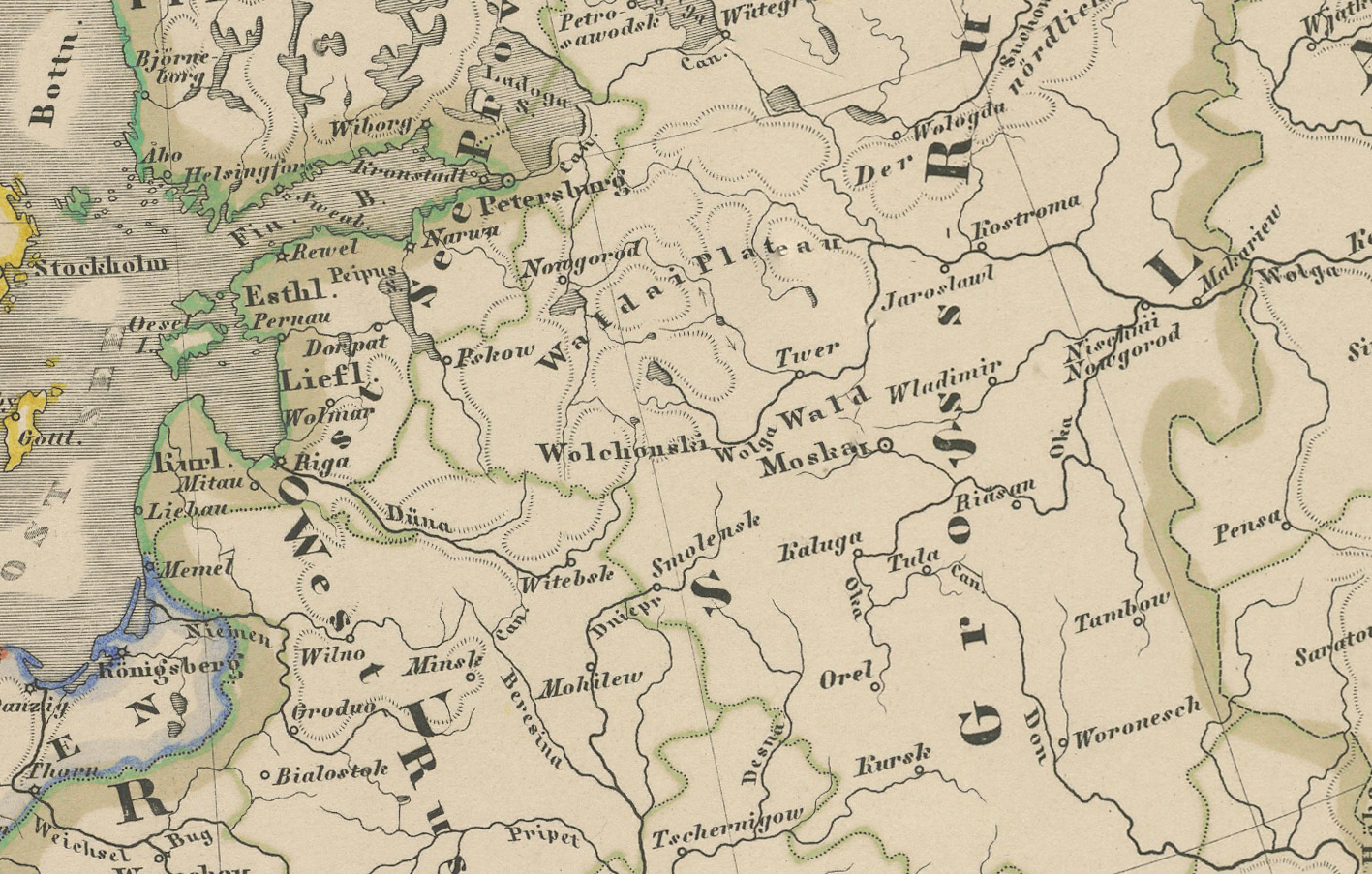
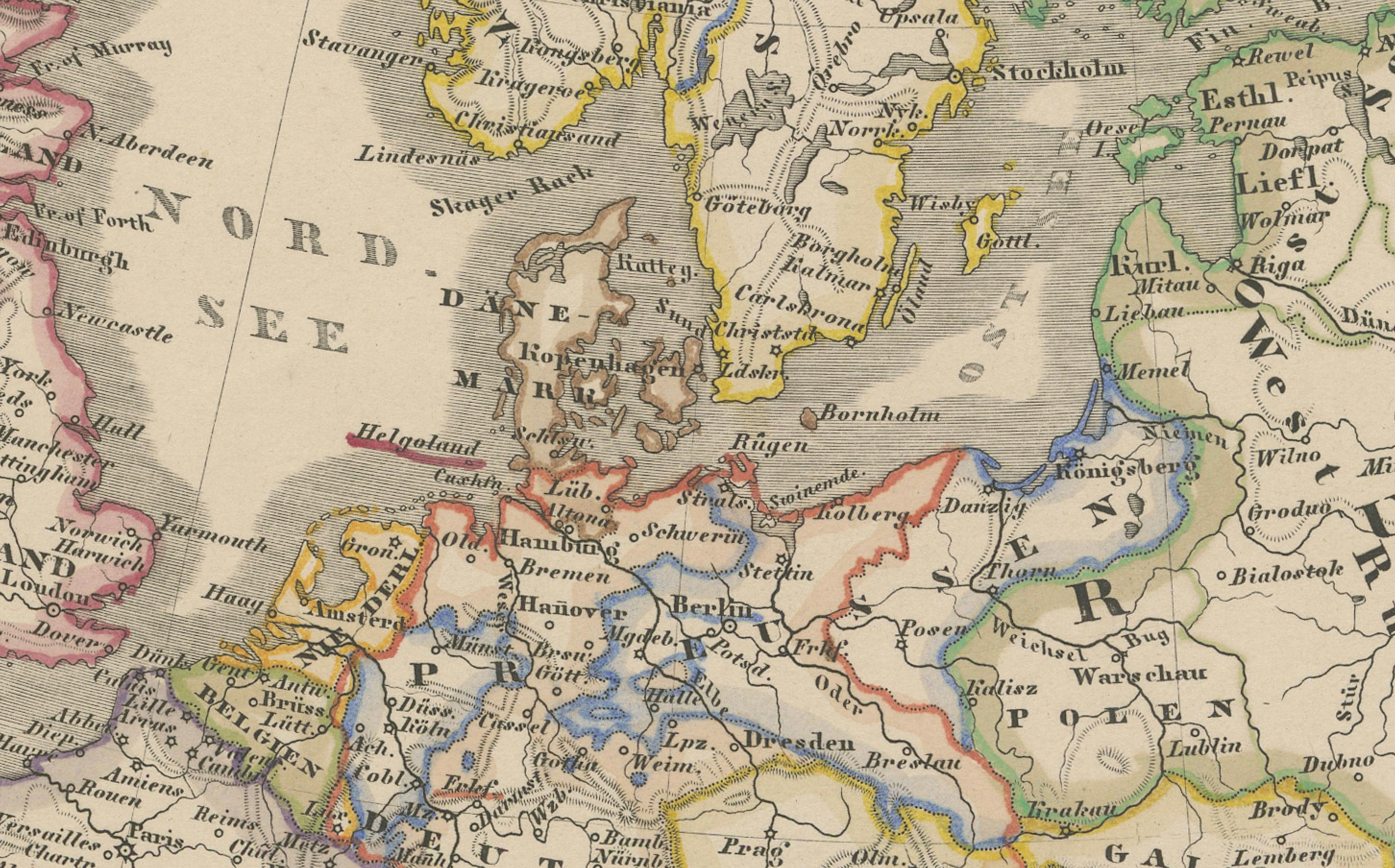
This fine antique print shows Europe with its political divisions titled “Europa zur Übersicht der politischen Verhältnisse” meaning “Europe showing political conditions.” Published in 1858 by Justus Perthes in Gotha as part of Adolf Stieler’s acclaimed Hand-Atlas, this map presents the continent with national borders clearly outlined and coloured, displaying the geopolitical landscape prior to German unification and major 19th-century territorial changes.
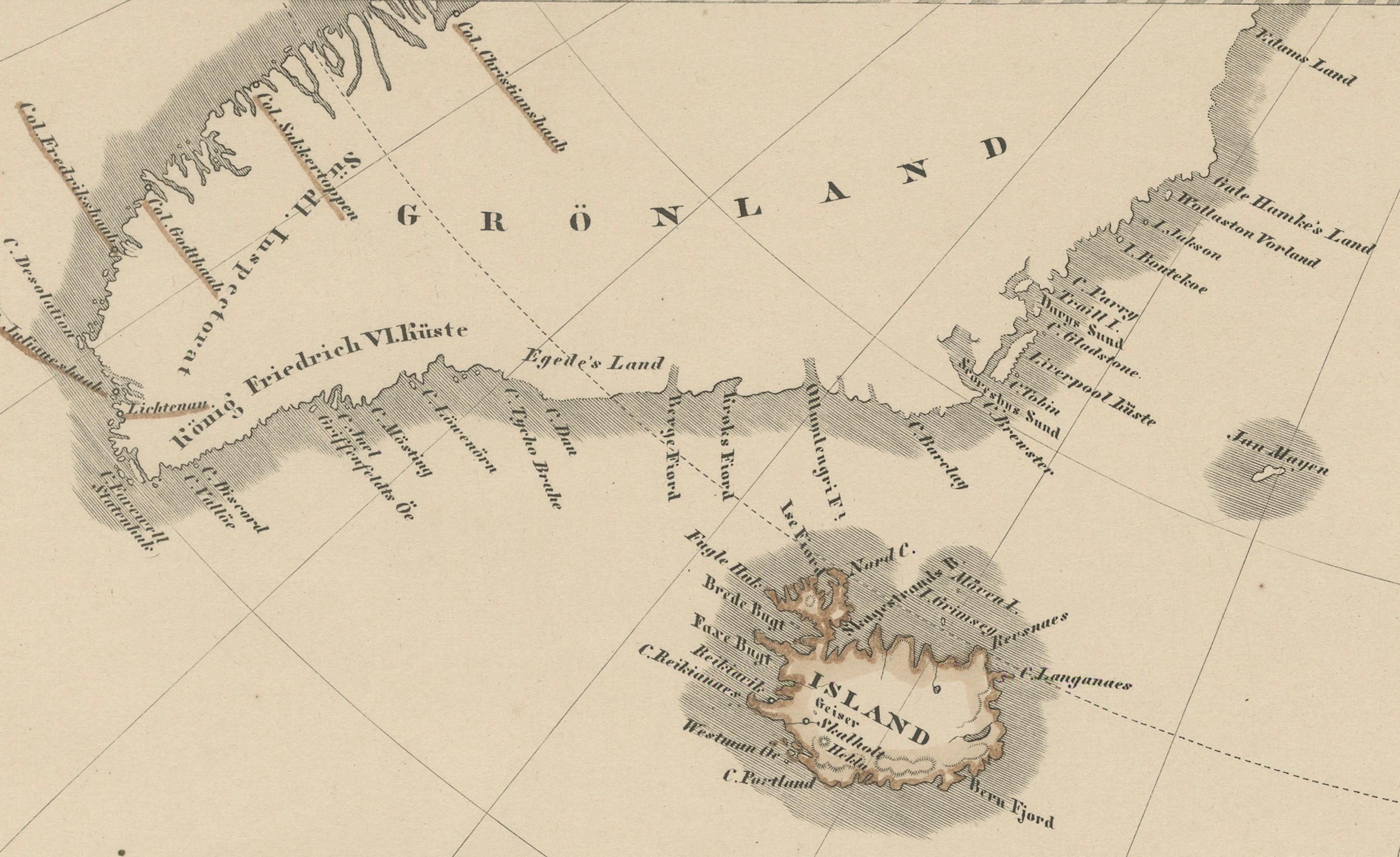
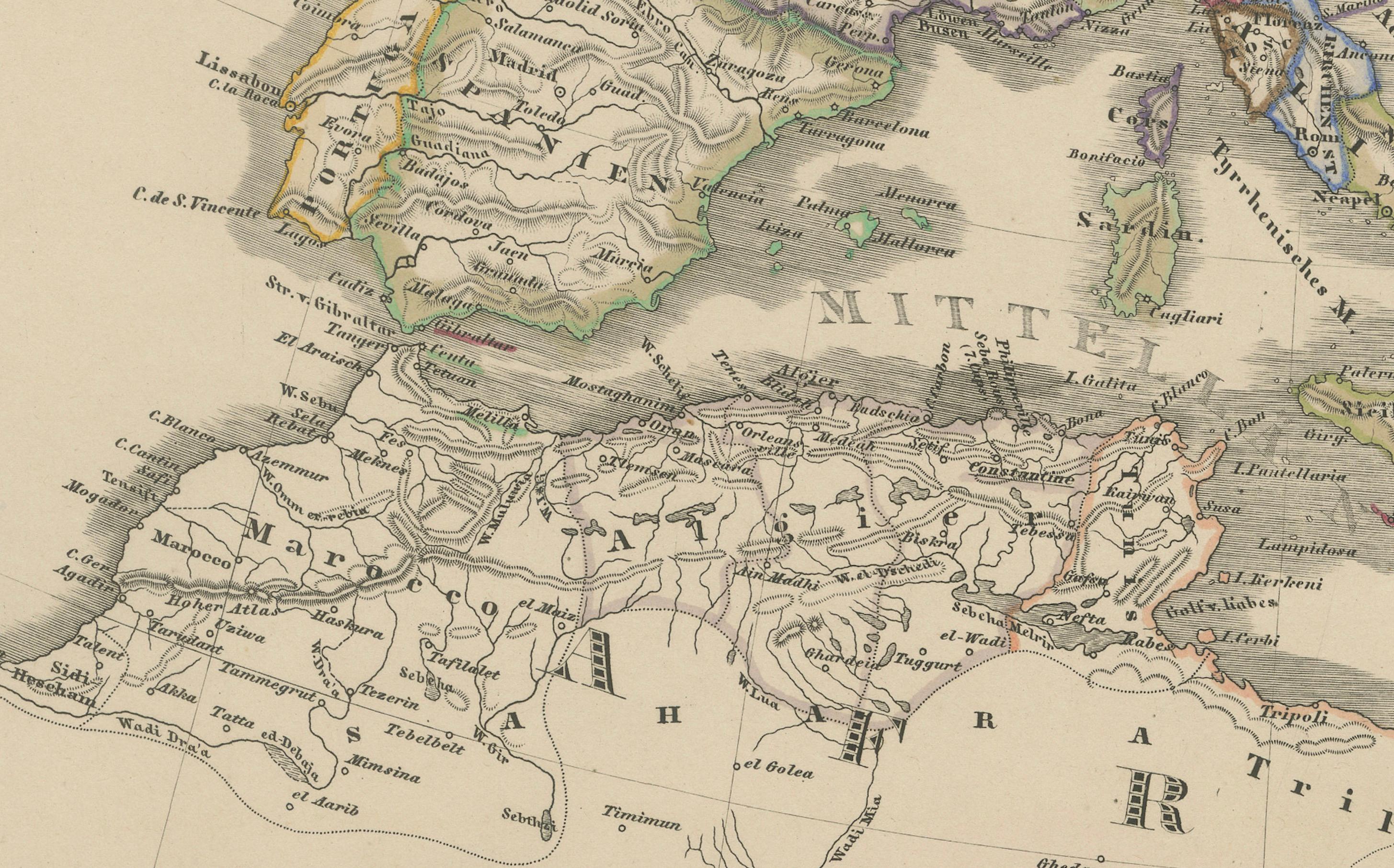
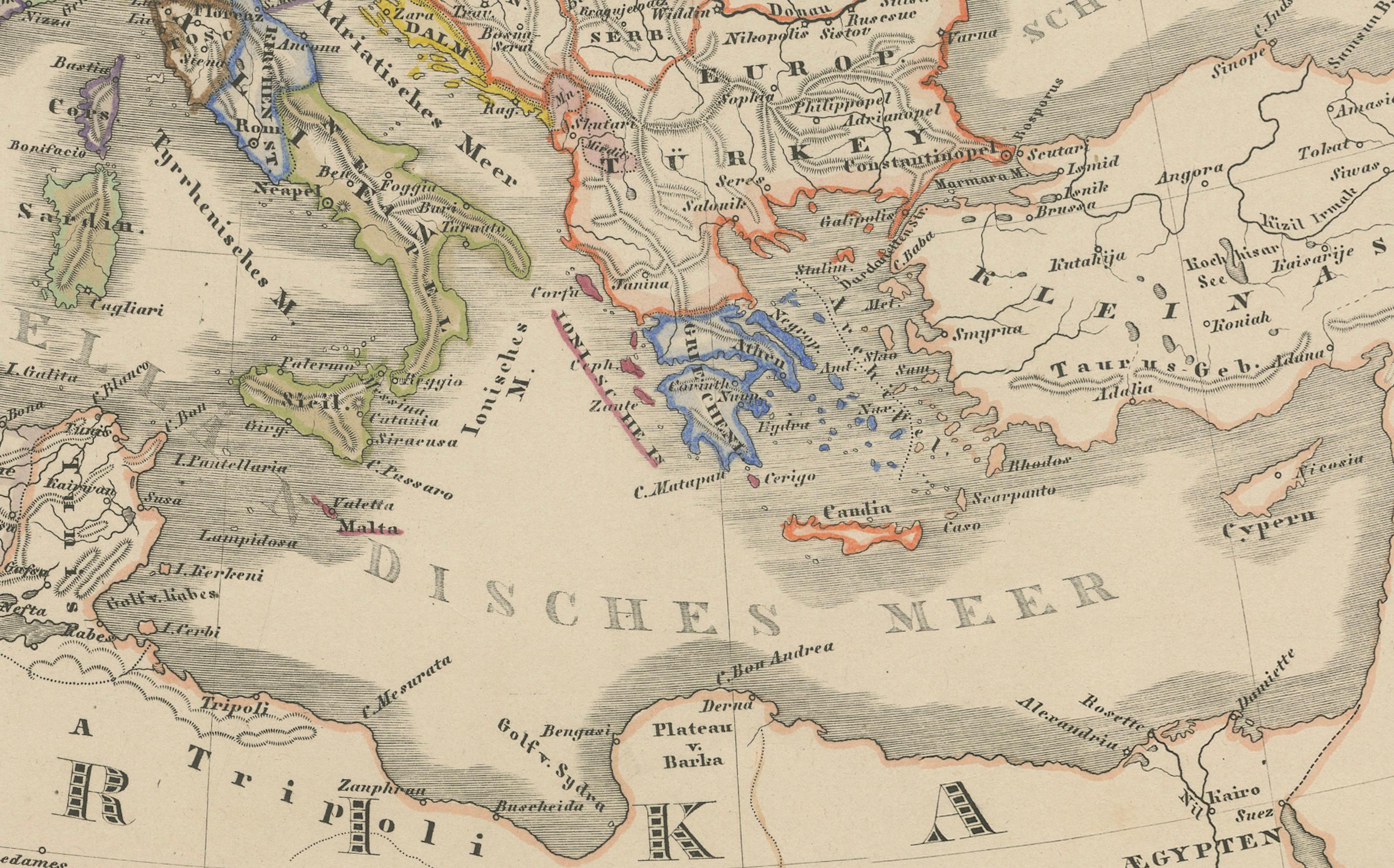
The map includes detailed labelling of cities, rivers, and mountain ranges, extending from Iceland and Greenland in the northwest to the Caspian Sea and Caucasus in the east, and down to North Africa in the south. It shows the Austrian Empire, Prussia, the Ottoman Empire, and the Russian Empire with their extensive territories, as well as smaller states such as the Italian duchies and the German principalities, reflecting the complex political structure of Europe before the late 19th-century unifications.
Created under the editorial supervision of Hrn. v. Stülpnagel and cartographer Heinrich Berghaus, the engraving demonstrates Stieler’s commitment to accuracy and clarity, making it an essential reference for historians, collectors, and educators today.
Technique: Copperplate engraving with original hand colouring to delineate political borders and territories, using subtle yet precise hues for each region. The German titles and annotations are engraved with exceptional clarity, typical of Stieler’s publishing standards.
Condition summary: Excellent condition with strong impression, minimal age toning, no tears or repairs. Colours remain vivid and paper is firm and stable.
Framing tips: This political map of Europe will look distinguished in a dark wood or black frame to emphasise its historical and cartographic importance. Pair with a wide ivory or cream mount to soften the presentation and draw attention to its detailed engraving. UV-protective glass is recommended to maintain the crisp lines and original colours for long-term preservation.