About this sheet
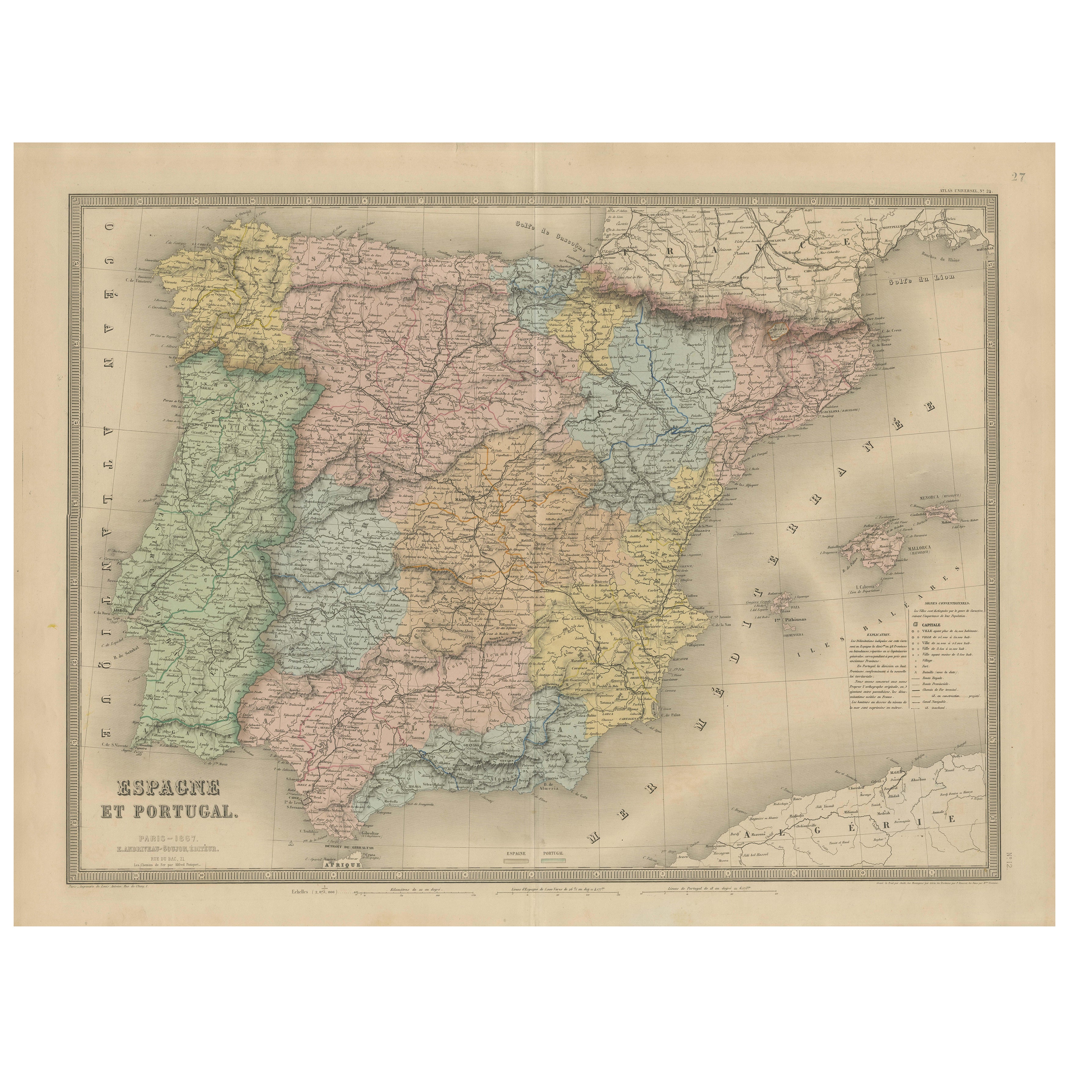
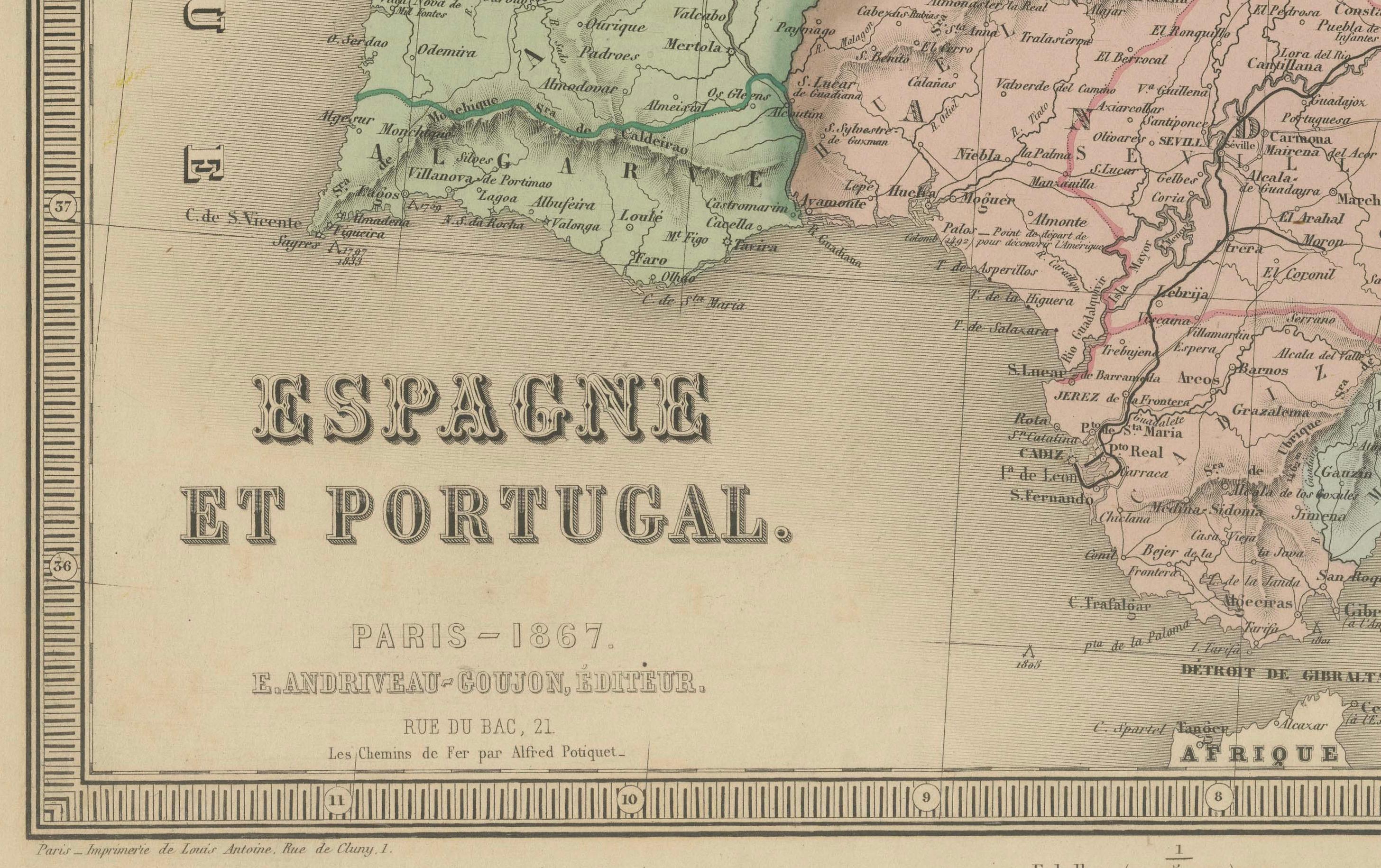
Antique Map of Spain and Portugal – “Espagne et Portugal” by Andriveau-Goujon, 1867
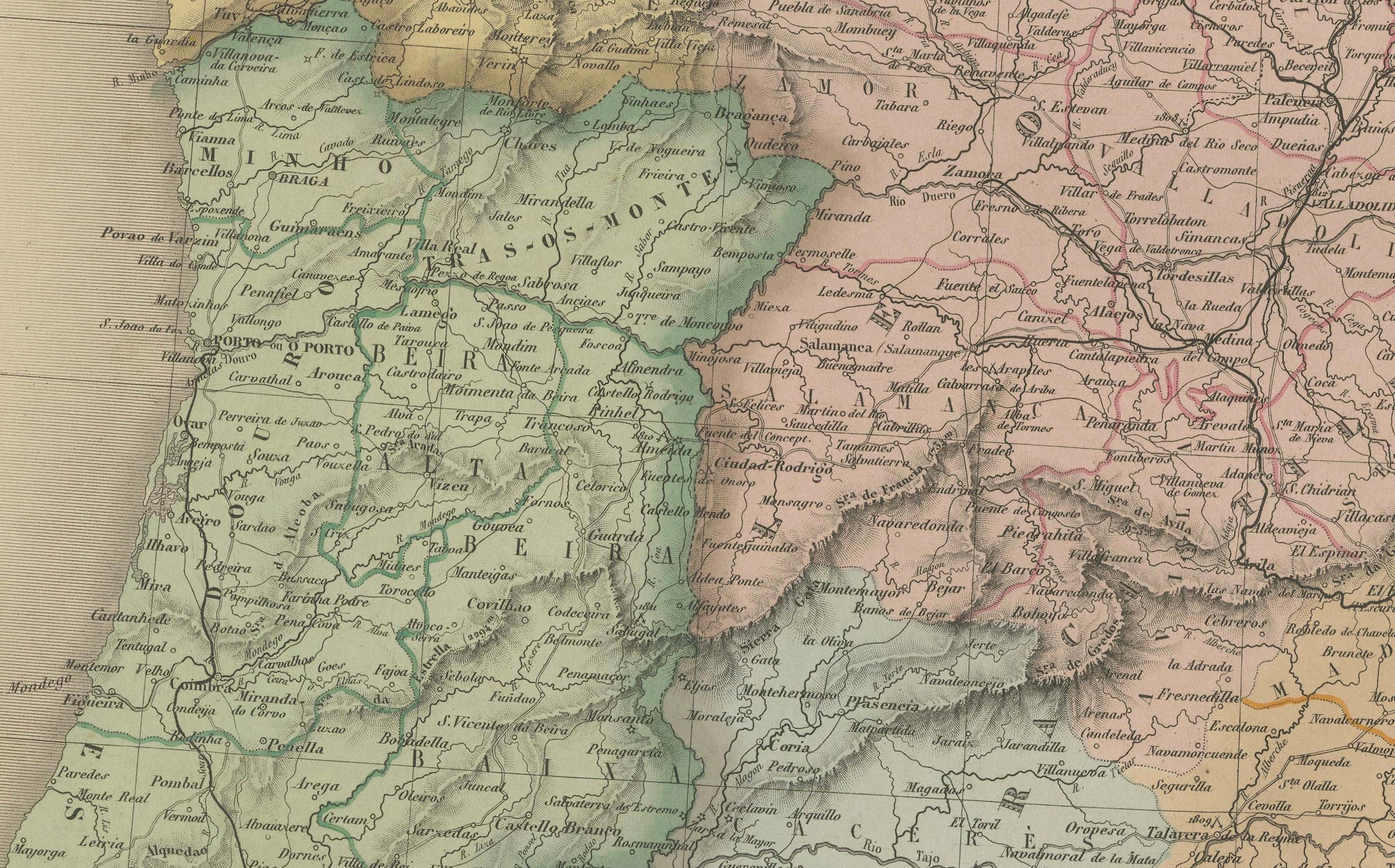
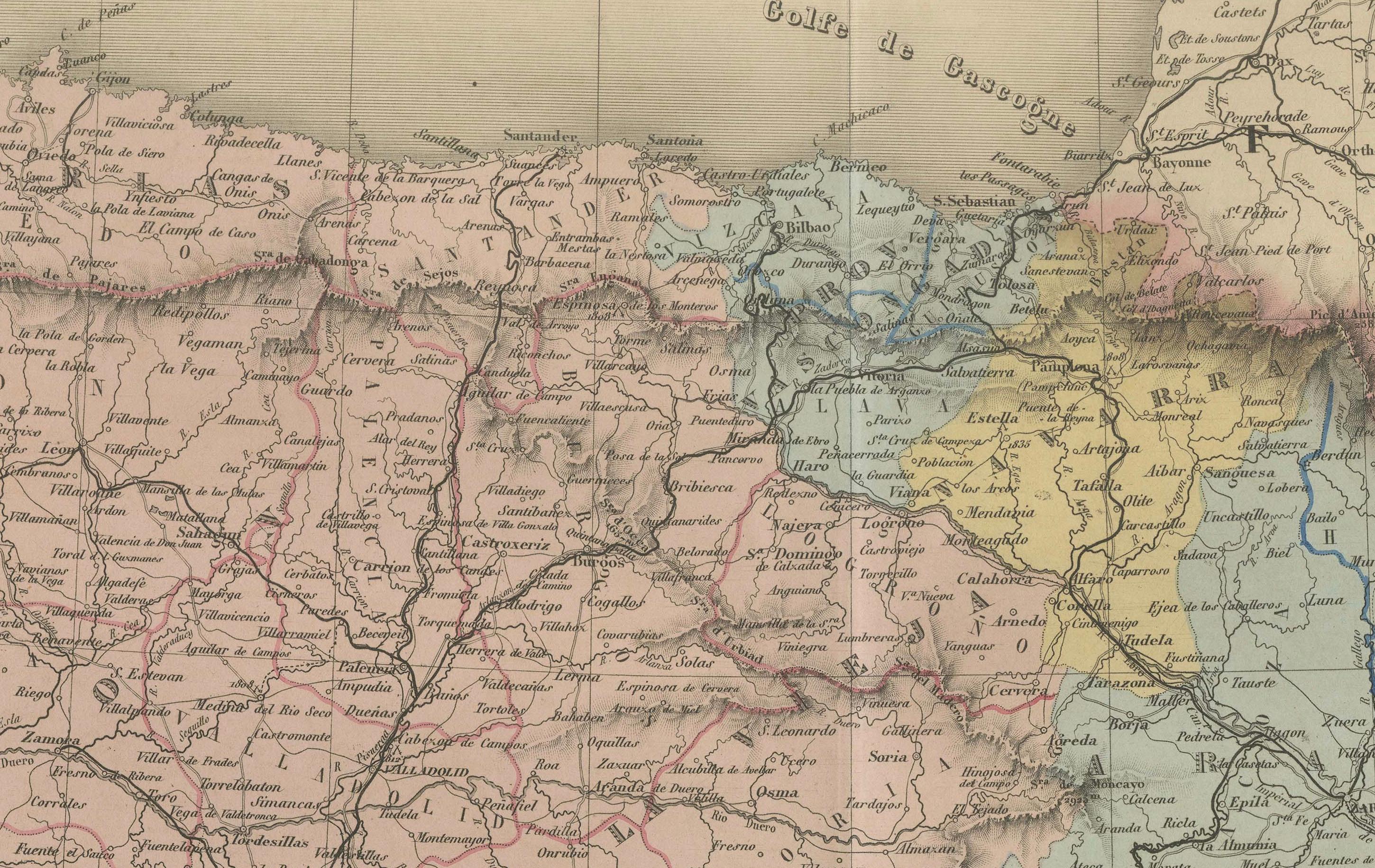
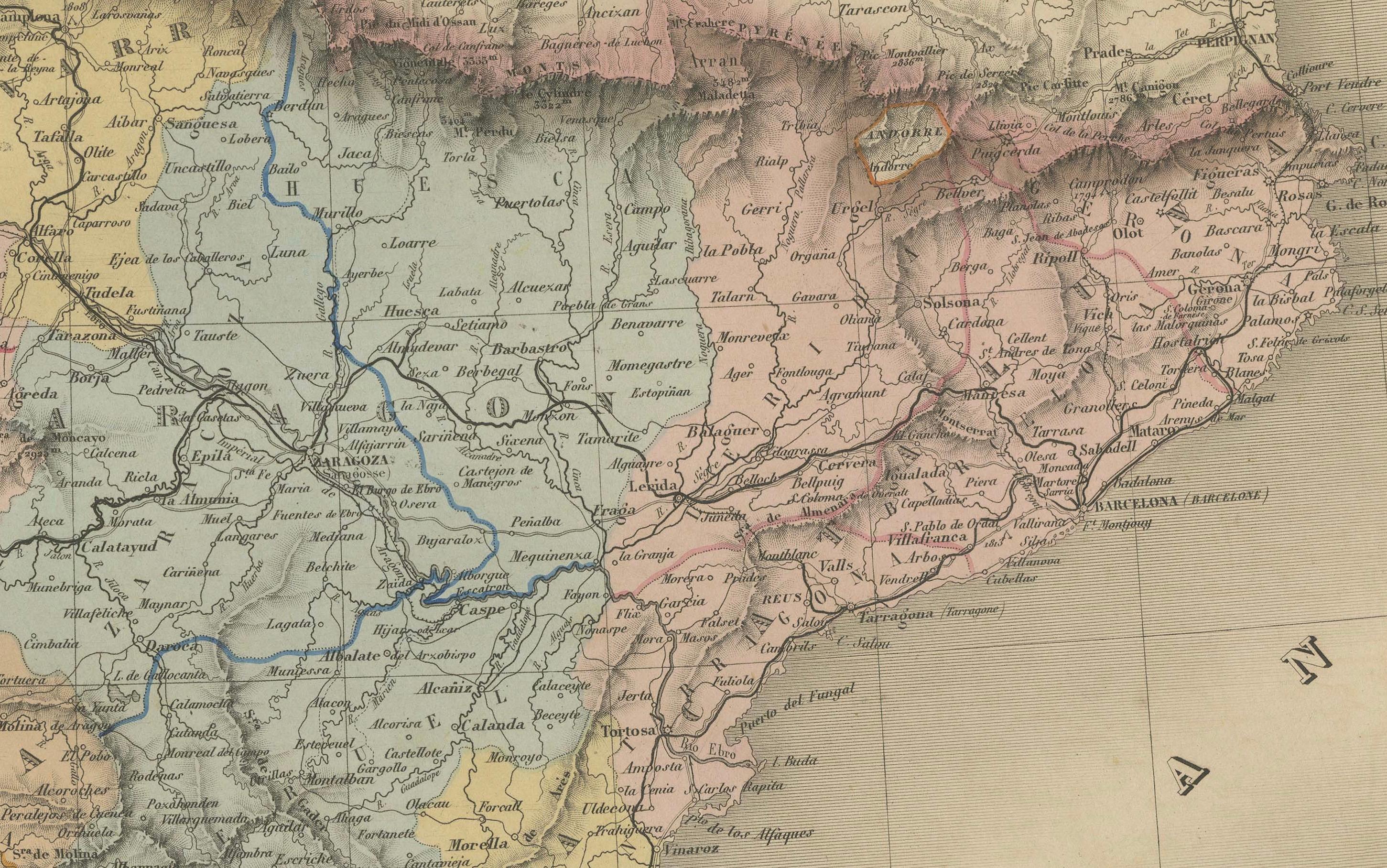
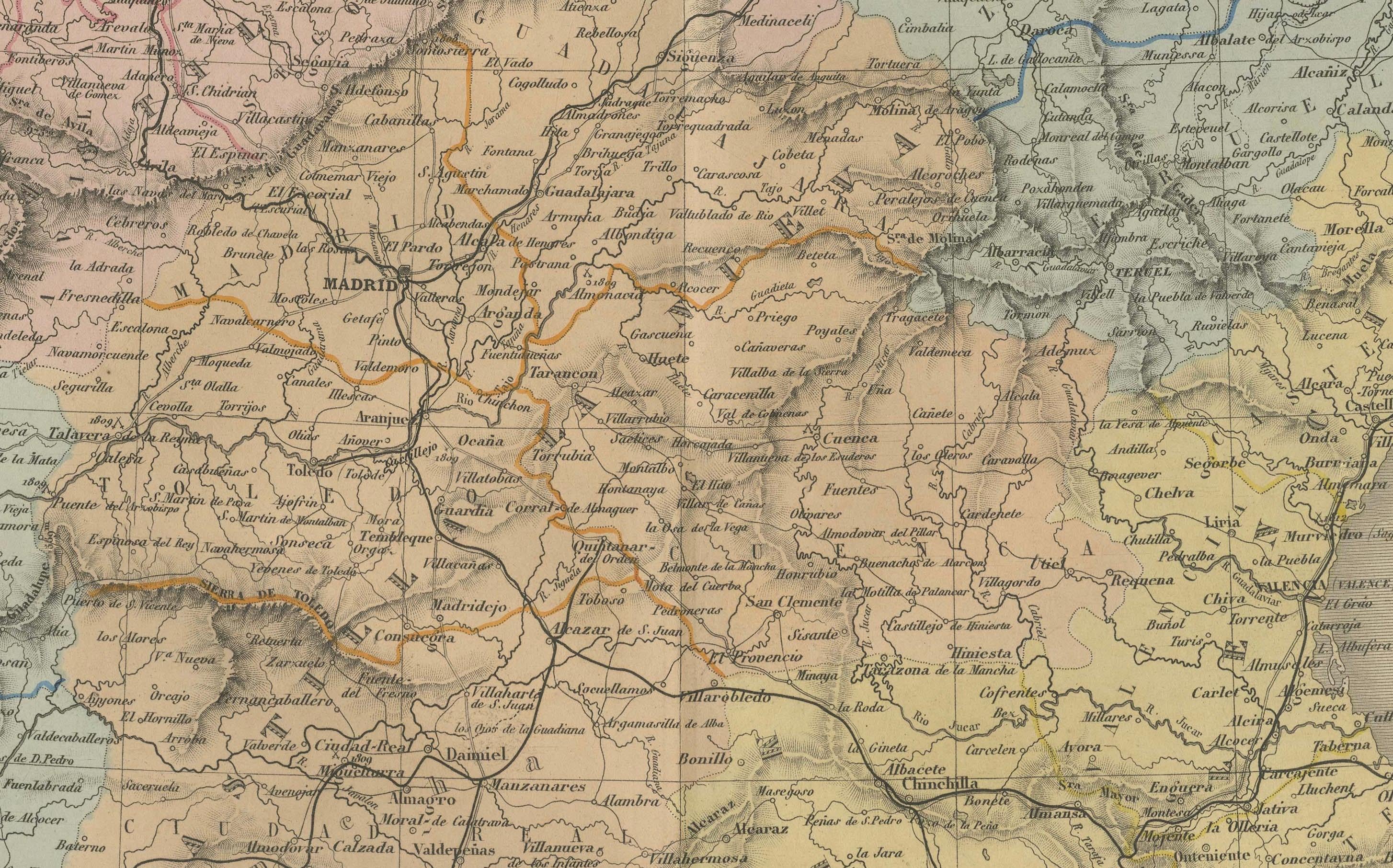
This finely detailed antique map titled “Espagne et Portugal” was published in Paris in 1867 by the eminent cartographer E. Andriveau-Goujon. It presents a comprehensive and elegantly engraved view of the Iberian Peninsula, including both Spain and Portugal, at a time of significant political and infrastructural development during the mid-19th century.
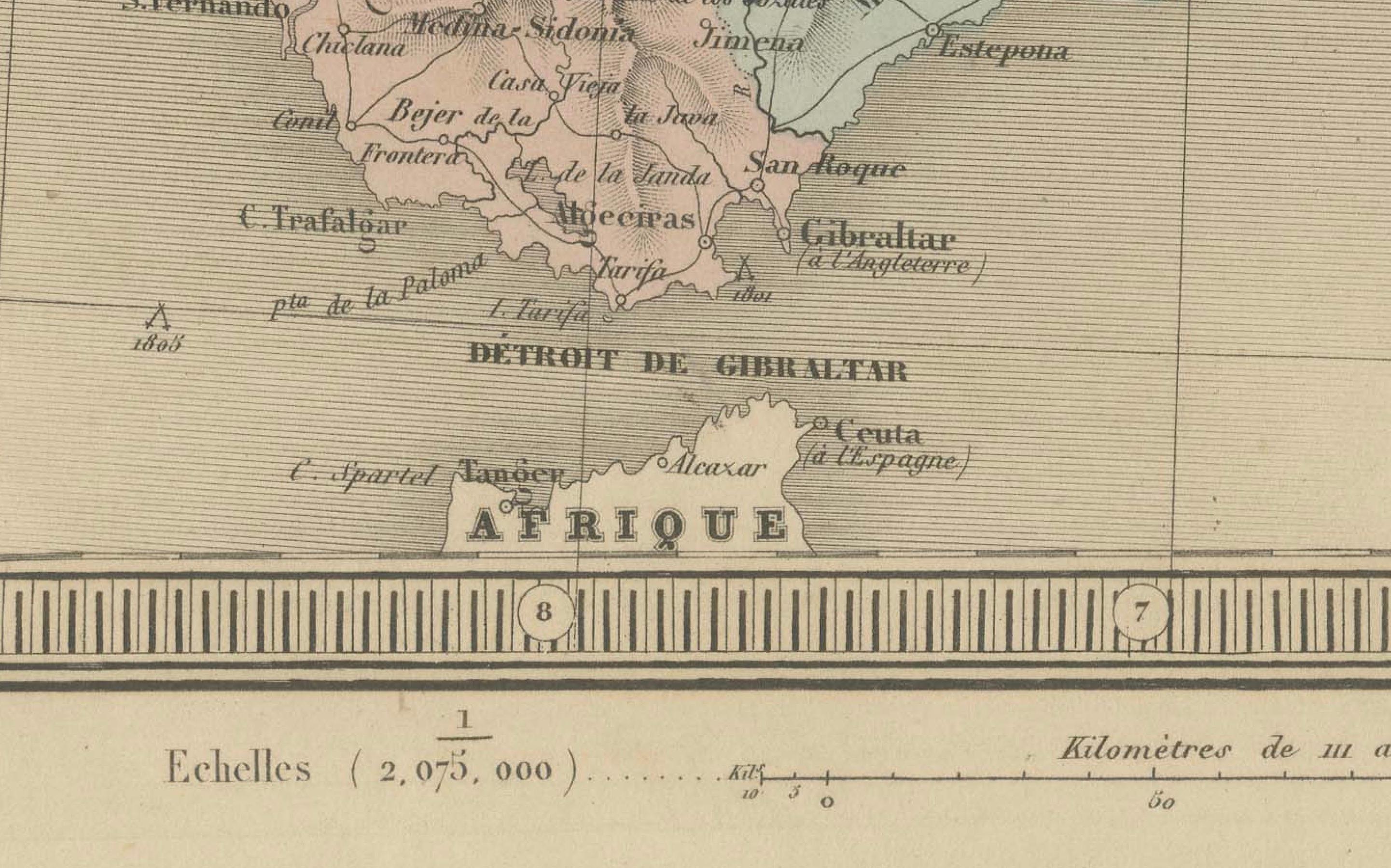
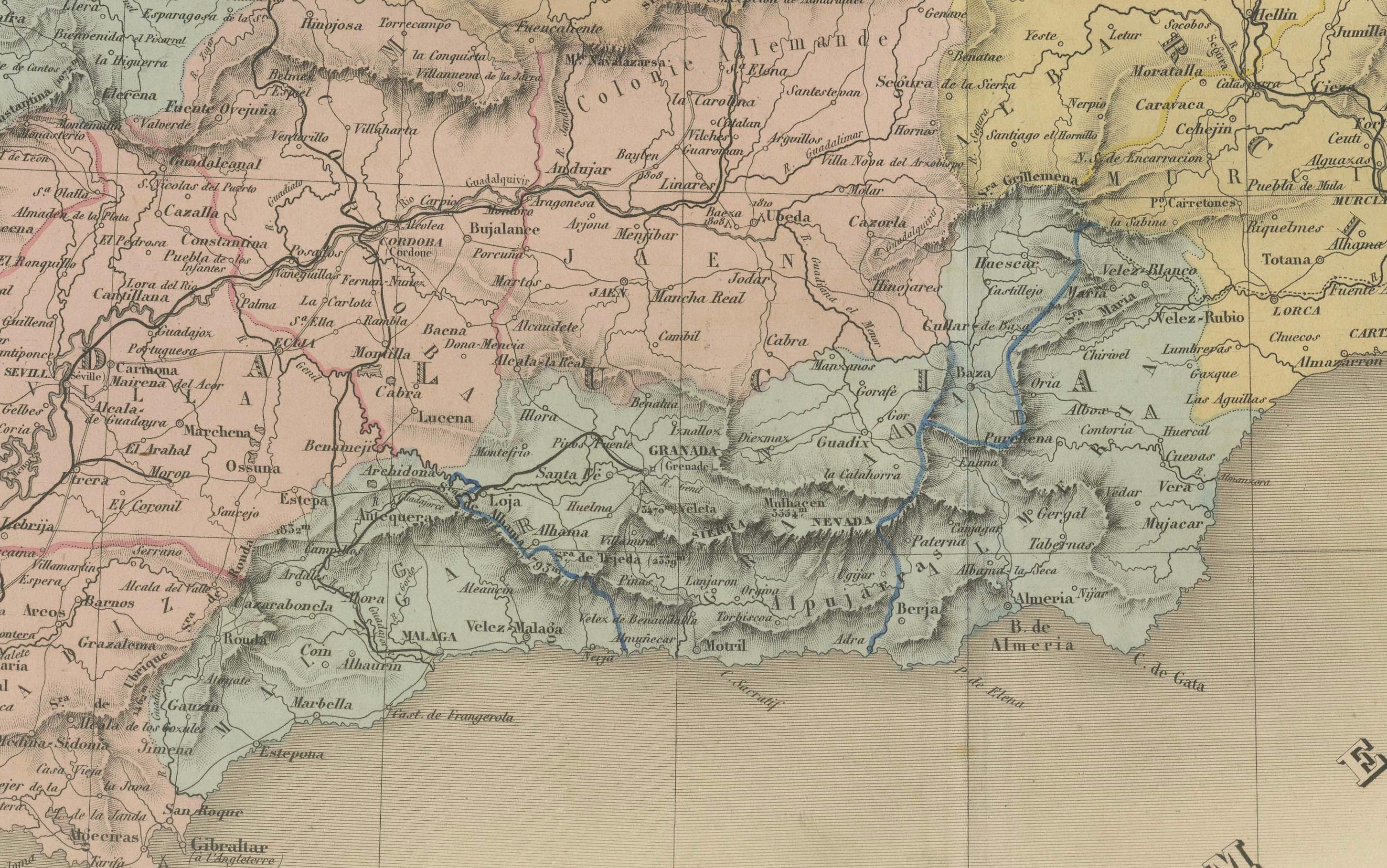
Each Spanish province is individually shaded in soft pastel colors to indicate administrative boundaries, while Portugal is outlined and colored distinctly to emphasize its national integrity. Major cities such as Madrid, Lisbon, Seville, Barcelona, Valencia, Porto, and Zaragoza are prominently marked, along with a dense network of towns, rivers, and early transportation routes. The Balearic Islands, including Mallorca and Menorca, are clearly illustrated in the Mediterranean to the east, and the map reaches as far south as the northern coastline of Morocco.
In the lower right, the map features a helpful reference key ("Divisions Administratives") that explains the political and administrative divisions of both Spain and Portugal, including the provincial capitals and regional boundaries. The engraved borders and typography reflect the high-quality craftsmanship characteristic of Andriveau-Goujon's Atlas Universel, of which this map is plate number 27.
This map provides valuable insight into the political geography of Iberia before the widespread modernization and consolidation of Spain’s provincial systems. It is both a historical document and a decorative piece, ideal for collectors, historians, or anyone with ties to the Iberian Peninsula.
Condition: Very good condition. Slight even toning and faint foxing in the margins. Original centerfold as issued. Clear plate impression and original pastel hand coloring. No tears or repairs. Plate number “27” in top right corner.
Framing tips: A dark wood or aged gold frame with a neutral cream mat will enhance the vintage appeal of the pastel coloring. A secondary mat in soft red or green may complement the Iberian palette and highlight key regions.
Technique: Engraving with original hand coloring
Maker: E. Andriveau-Goujon, Paris, 1867