United States, Canada & Mexico – 1857 North America Map
€ 370
Original antique · The actual sheet photographed · Certificate of authenticity on request · Sold unframed · Worldwide shipping from € 15 (rates)
Date
1857
Sheet size
37.5 × 45.4 cm (14.8 × 17.9 in)
Condition
Good
Reference
BG-05552-51
What the condition grades mean
Excellent
Bright and clean, with no faults worth mentioning.
Very good
Only light signs of age, such as faint toning.
Good
Normal signs of age for a sheet of this period: toning, some foxing, small marks or neat old repairs.
Fair
Clear faults such as staining, tears or repairs, priced to match.
Every fault we see is written in the condition note, and the whole sheet is shown uncropped in the photos.
Condition
Condition summary: Excellent condition with strong impression, minimal age toning, and no tears, repairs, or significant foxing. Colors remain vivid and paper is firm and stable.
About this sheet
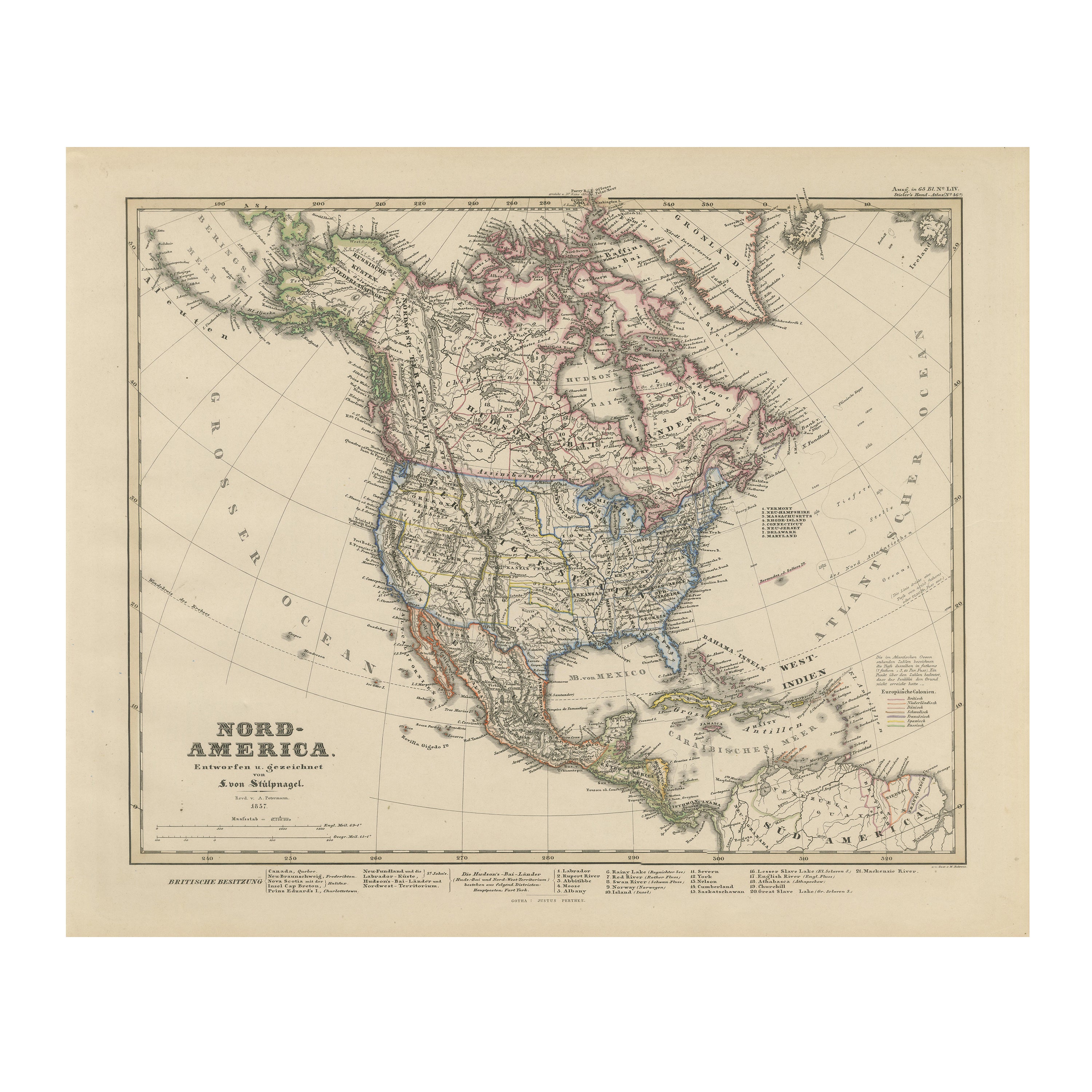
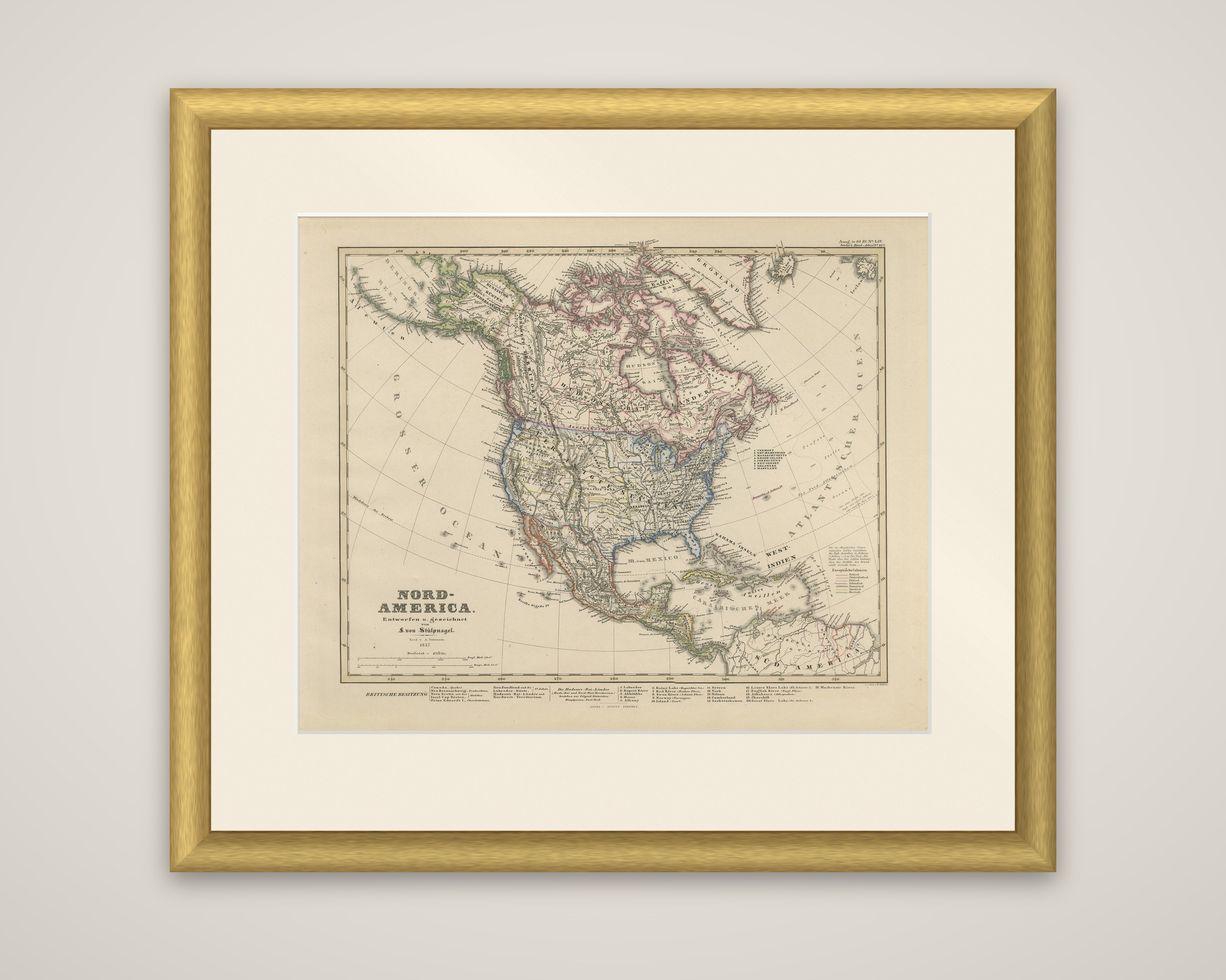
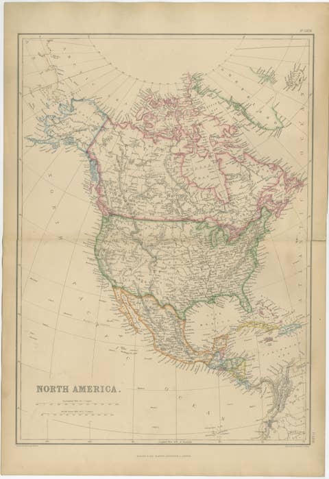
North America in 1857, an original copper engraving with hand-colored outlines, titled "Nord-America. Entworfen u. gezeichnet von F. von Stülpnagel." It was published in Gotha by Justus Perthes for Adolf Stieler's Hand-Atlas, with the date 1857 in the title block.
The sheet covers the whole continent, from Russian America (Alaska) and the Arctic archipelago in the north to Central America and the northern edge of South America in the south, with Greenland at the upper right. Color distinguishes British possessions, the United States, Mexico and the Central American republics, and a key at the lower right explains the European colonial colors. Hudson Bay, the Great Lakes, the Mississippi and Missouri, and the Rockies and Appalachians are shown. The western United States appears as large unorganized territories, and Cuba and the West Indies are included at the lower right. At the foot, tables list the British possessions and the regions of the Hudson's Bay Company lands, and a list of states appears along the upper right.
The date places the sheet between the Treaty of Guadalupe Hidalgo of 1848 and the Alaska Purchase of 1867.