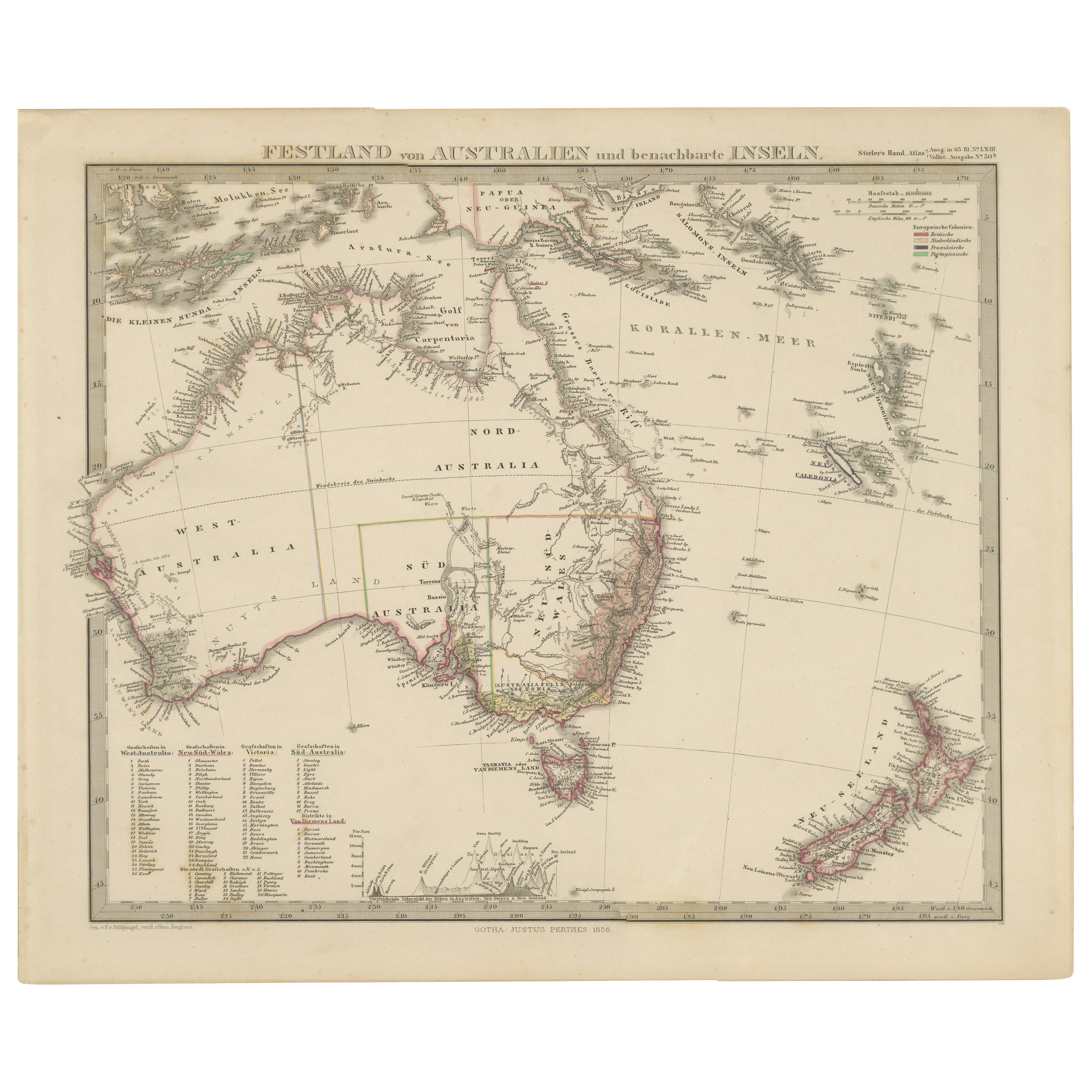
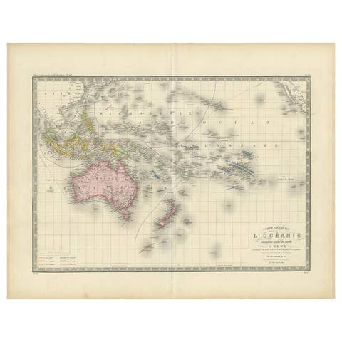
Australia, New Zealand, and Neighbouring Islands Map 1858
€ 290
One of a kind: this is the sheet in the photographs. Ships from Langweer, the Netherlands.
Date
1858
Sheet size
37.5 × 45.4 cm (14.8 × 17.9 in)
Condition
Good
Reference
BG-05552-58
Condition
Condition summary: Excellent condition with strong impression, minimal age toning, no tears, repairs, or significant foxing. Colours remain vivid and paper is firm and stable.
About this sheet
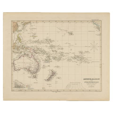
Australia and Neighbouring Islands Map 1858
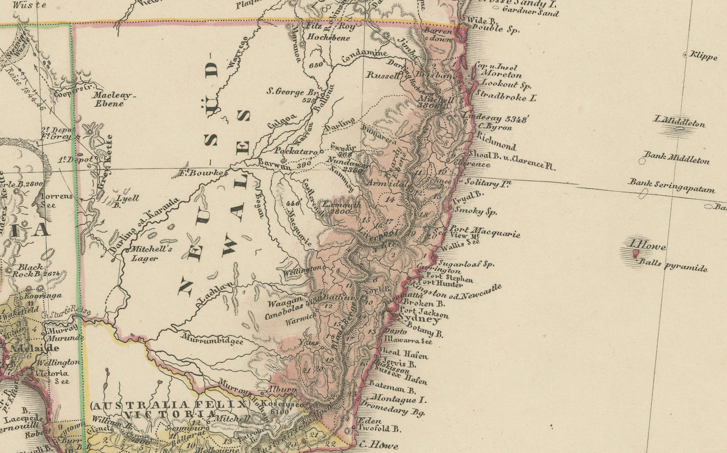
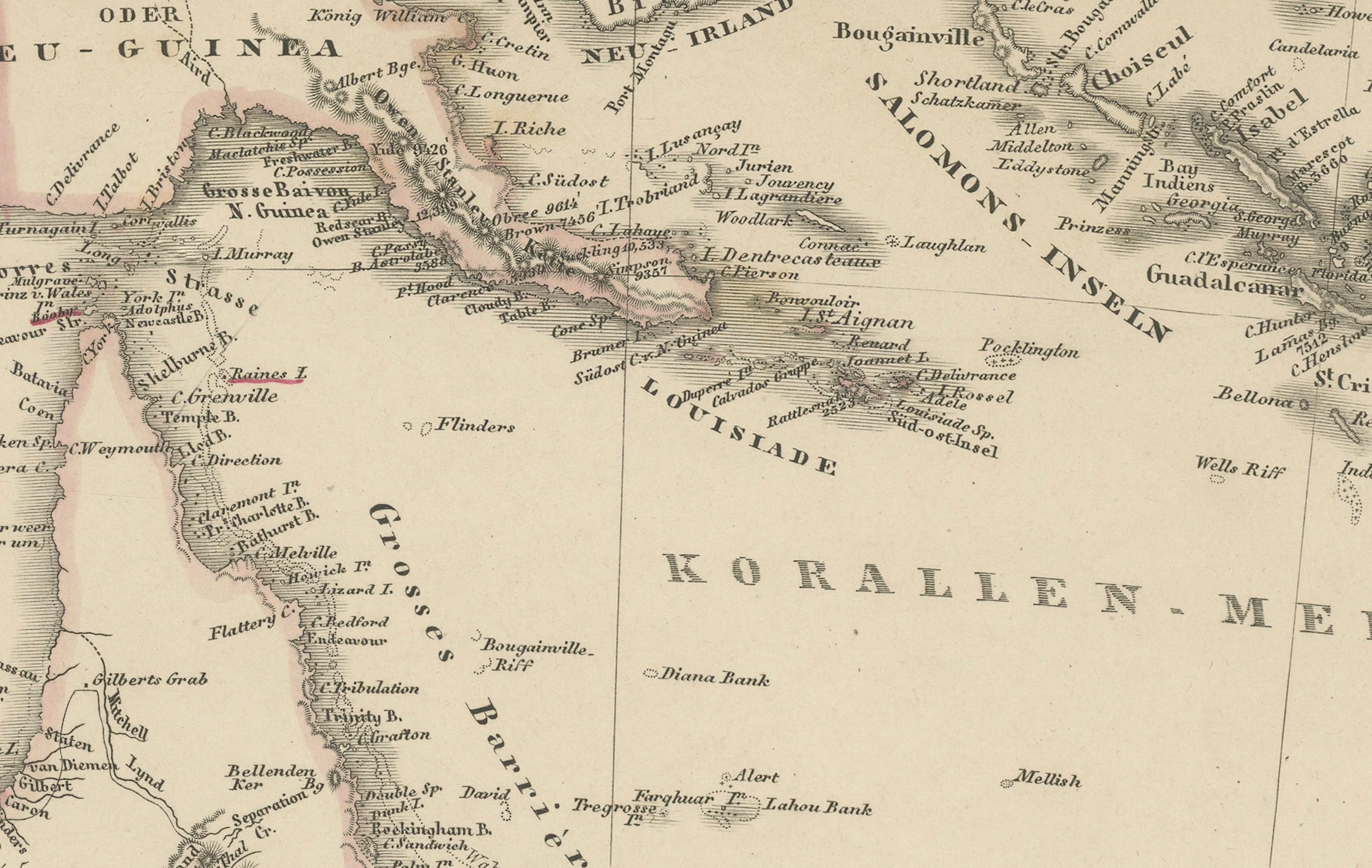
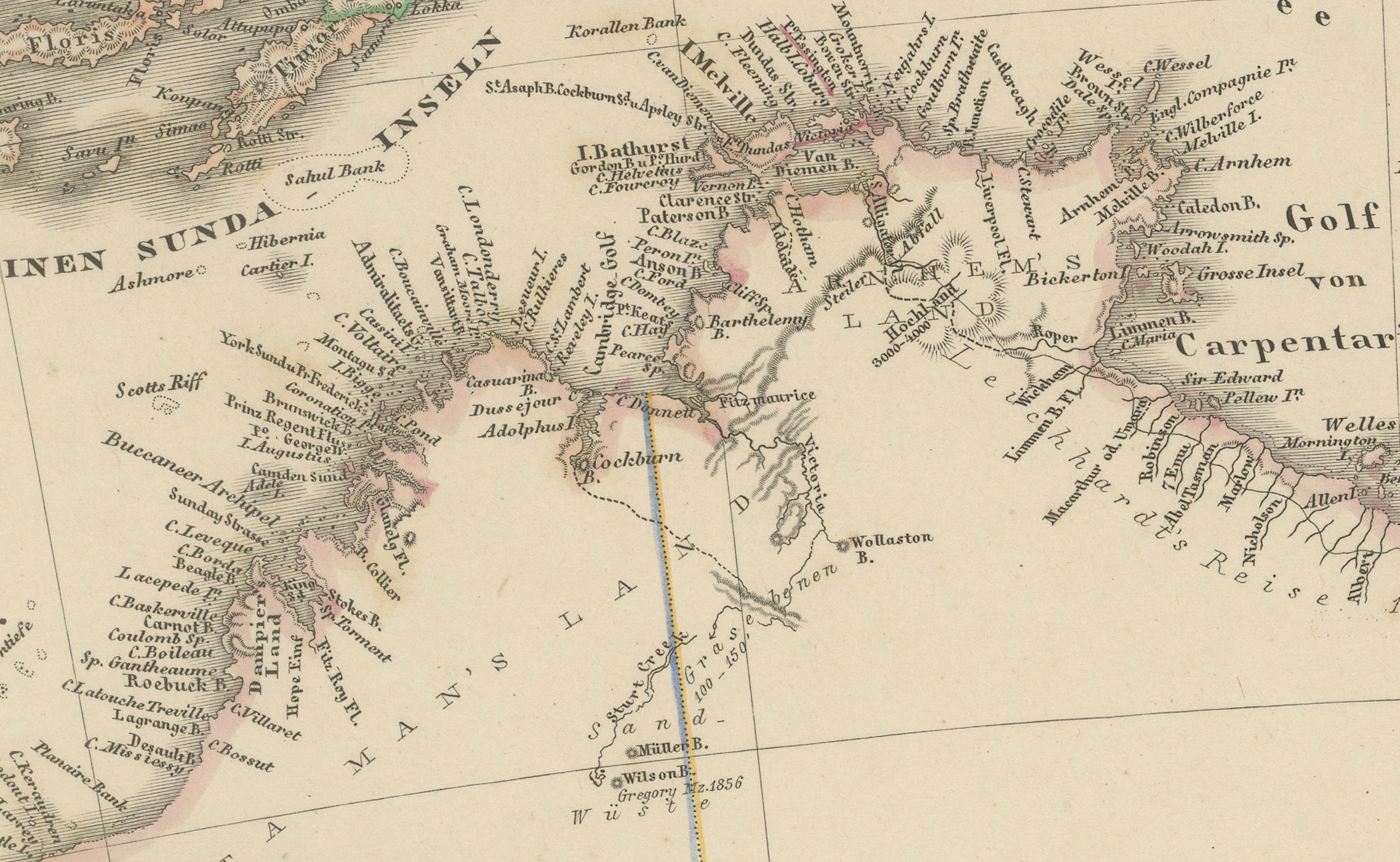
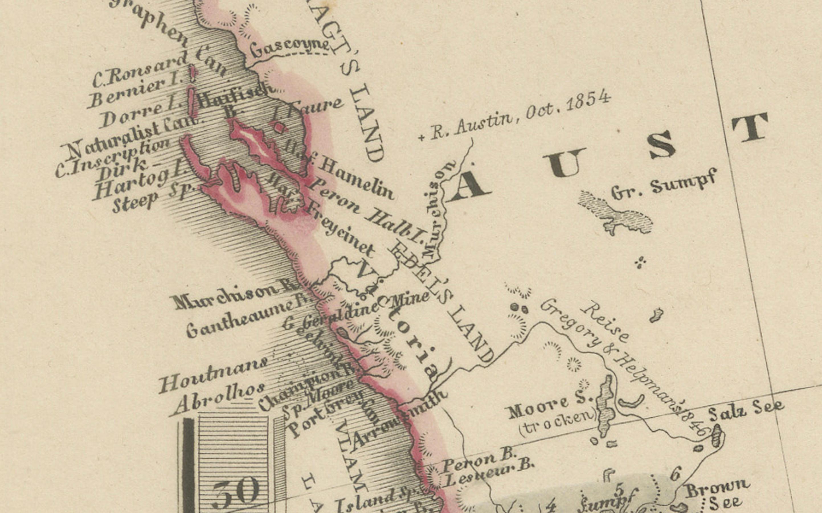
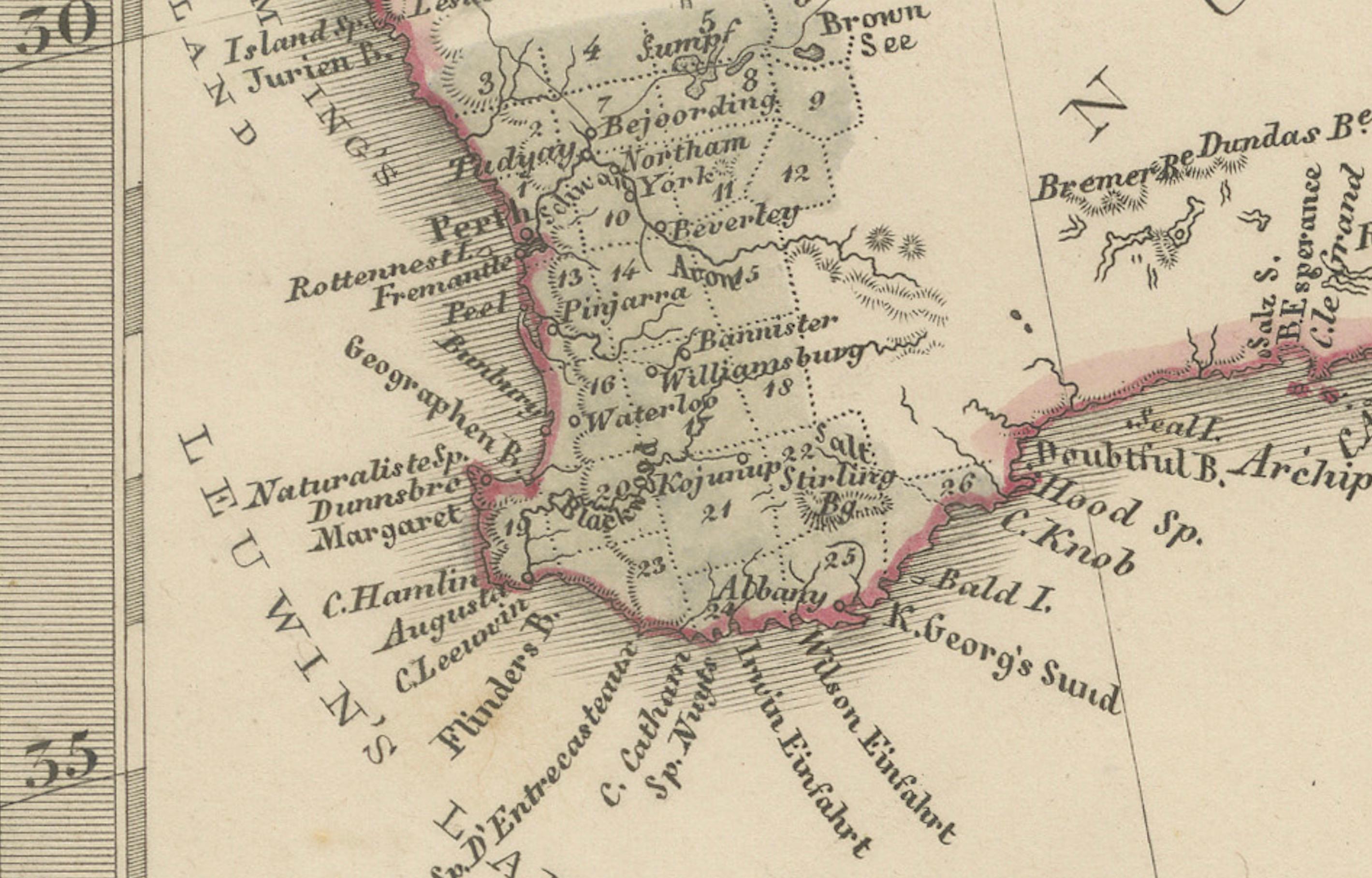
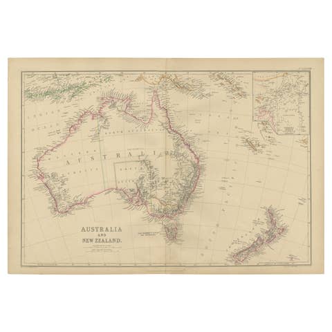
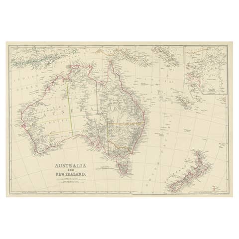
This attractive antique print shows “Festland von Australien und benachbarte Inseln” meaning “Mainland Australia and neighbouring islands.” Published in 1858 by Justus Perthes in Gotha as part of Adolf Stieler’s esteemed Hand-Atlas, this map was created under the direction of cartographer F. v. Stülpnagel.
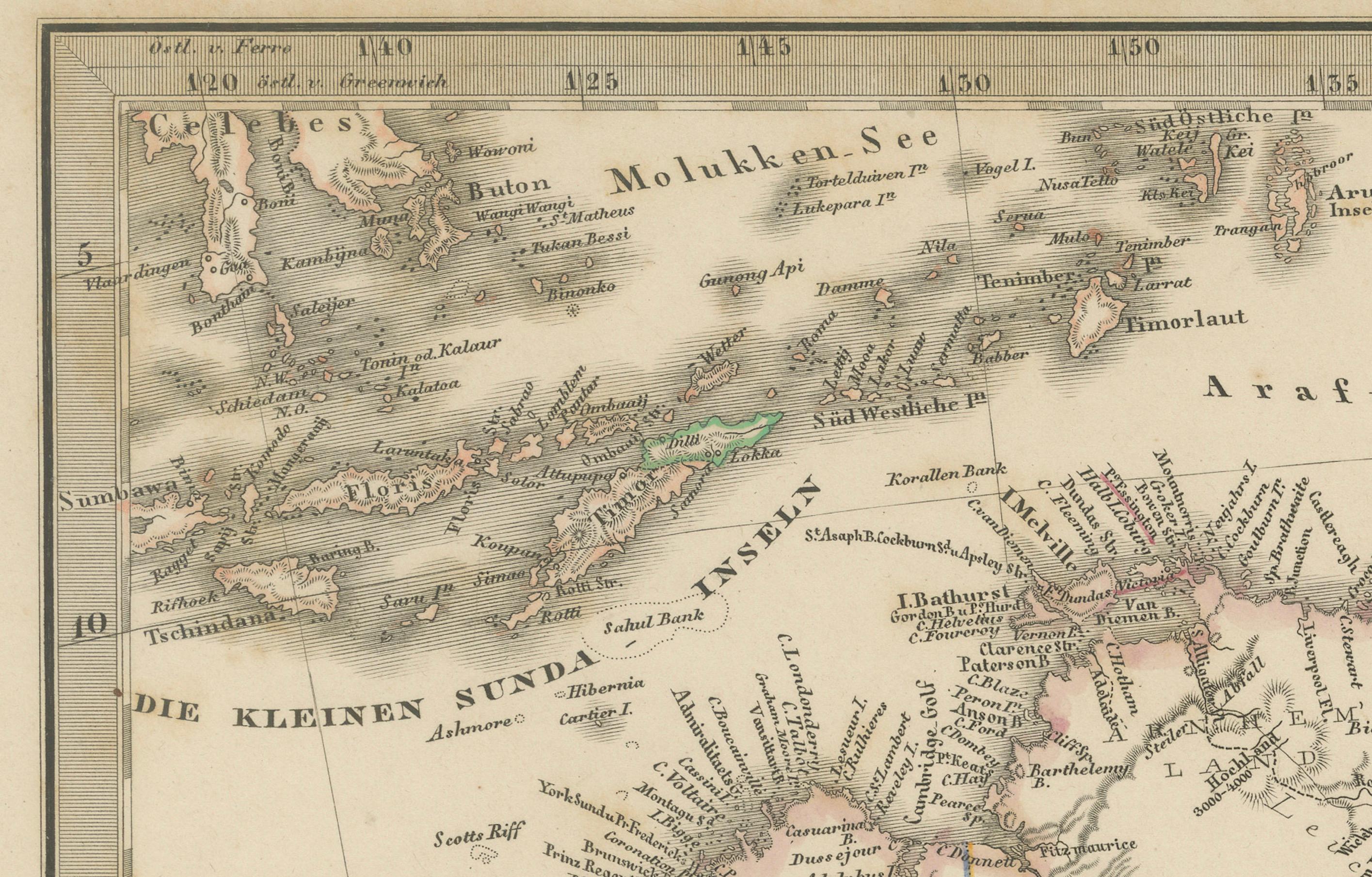
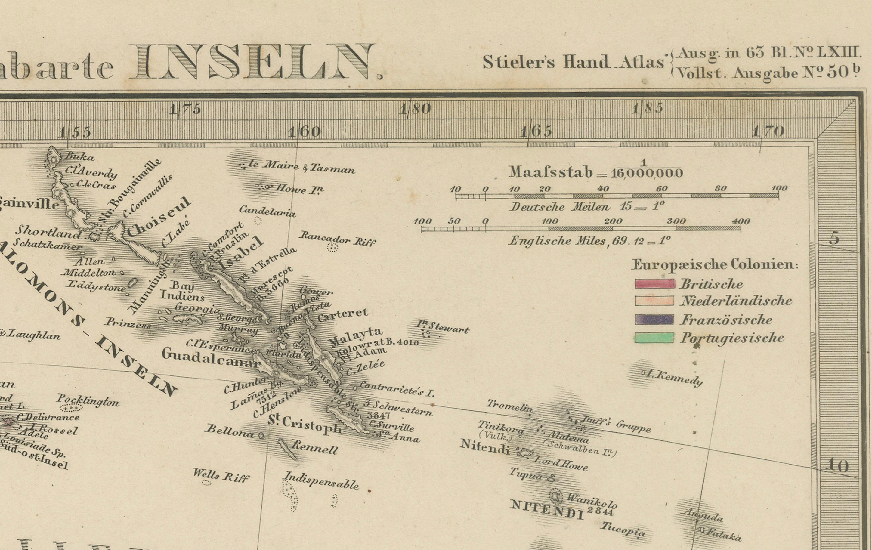
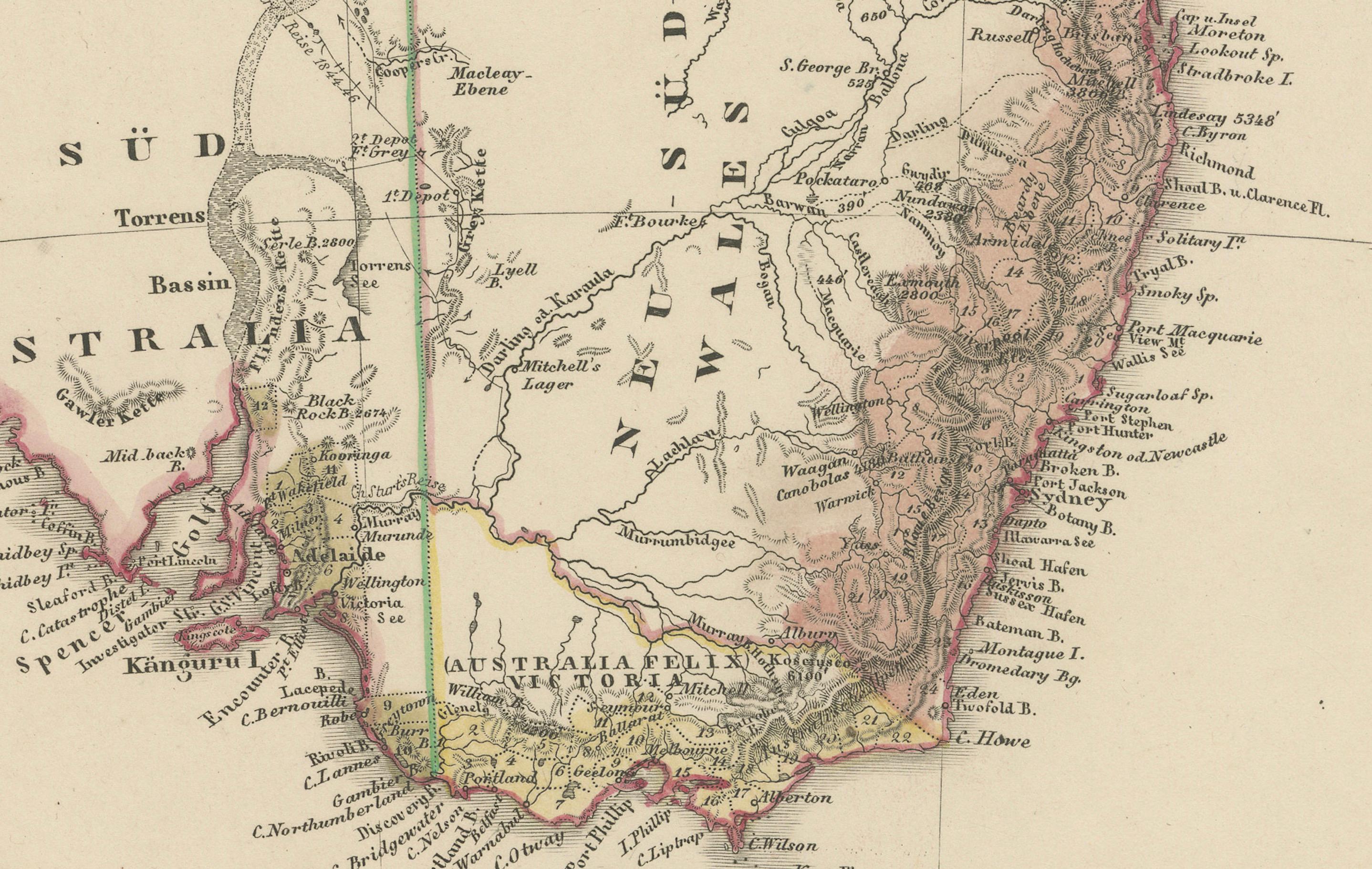
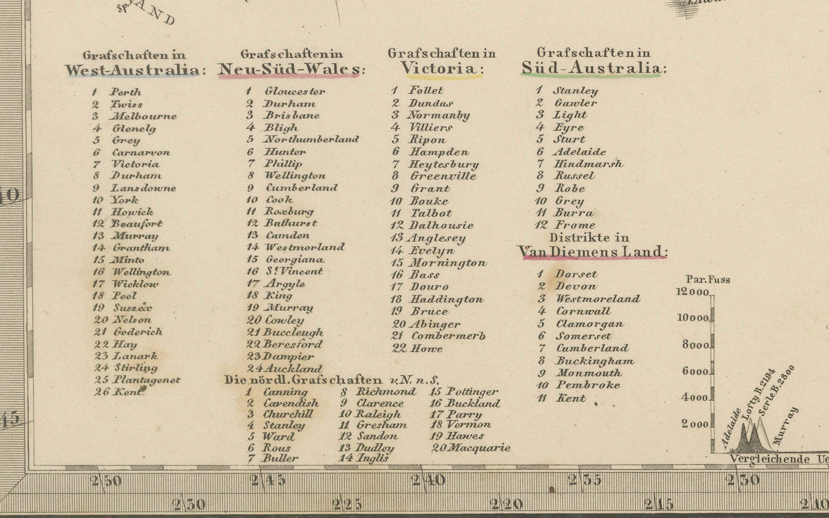
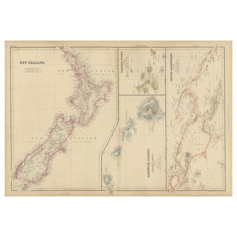
The map presents Australia divided into its mid-19th-century colonial regions, including New South Wales, Victoria, South Australia, Western Australia, and the Northern Territory, here labelled as part of “Nord Australia.” Tasmania is included at the south-east corner, with major cities such as Sydney, Melbourne, Adelaide, Perth, and Hobart clearly marked. The map also features neighbouring islands such as New Guinea, Timor, New Caledonia, and New Zealand with both North and South Islands labelled.
This map is significant for its depiction of Australia during the early colonial period, showing exploration routes, settlements, and geographic knowledge before full federation in 1901. It also highlights European colonial claims and trade routes within the broader Asia-Pacific region, reflecting the geopolitical interests of the era.
Technique: Copperplate engraving with original hand colouring to delineate colonial borders and territorial claims. German titles and detailed annotations are engraved with precision, typical of Stieler’s cartographic standards.
Condition summary: Excellent condition with strong impression, minimal age toning, no tears, repairs, or significant foxing. Colours remain vivid and paper is firm and stable.
Framing tips: This detailed map of Australia and its neighbouring islands will look impressive in a dark wood or black frame to emphasise its historical and geographical value. Pair with a wide ivory or cream mount to soften the presentation and highlight its cartographic clarity. UV-protective glass is recommended to preserve the engraved lines and original colouring for long-term display.