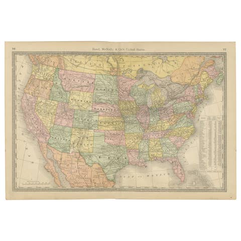
About this sheet
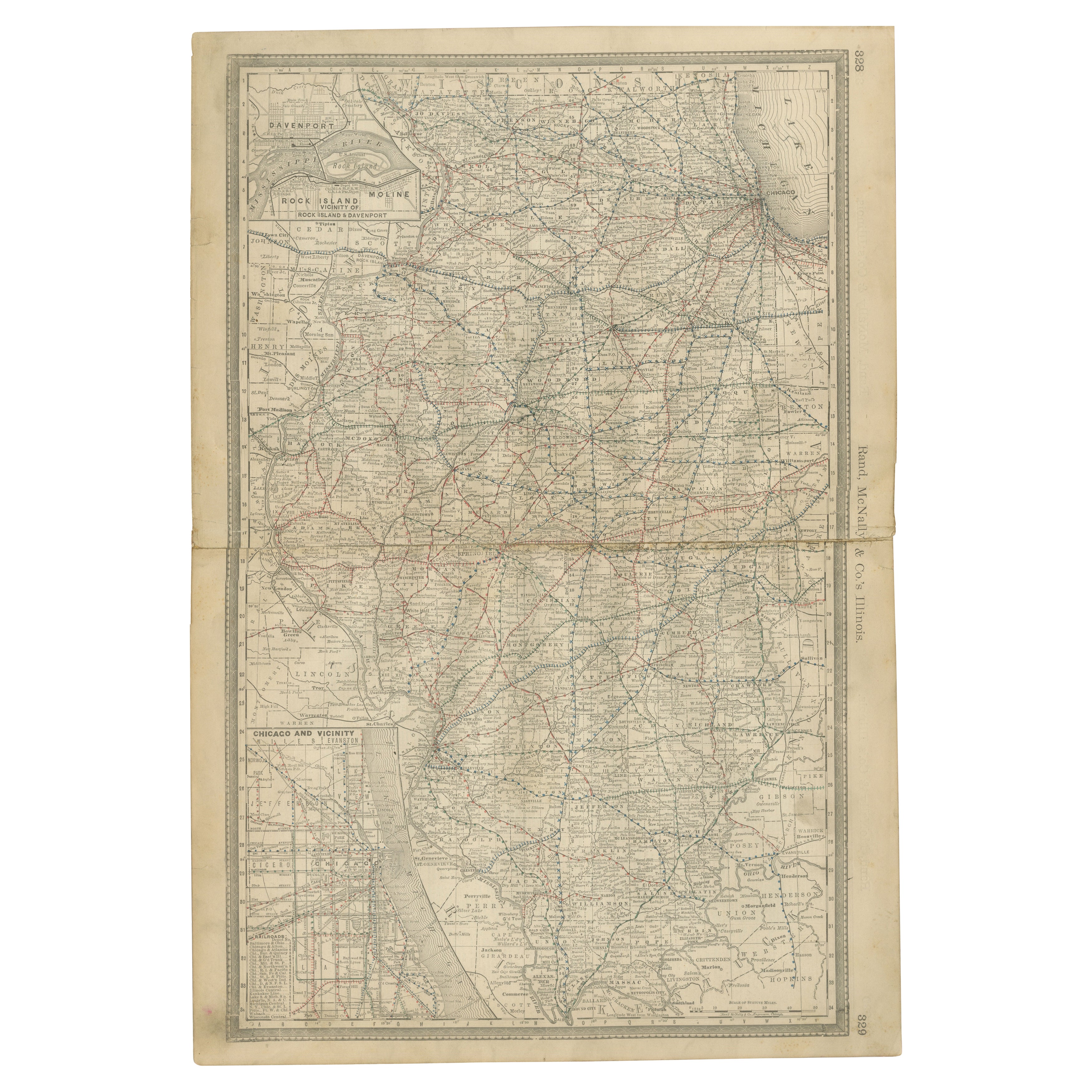
Antique Map of Illinois – Railroads, Cities & Counties, 1888
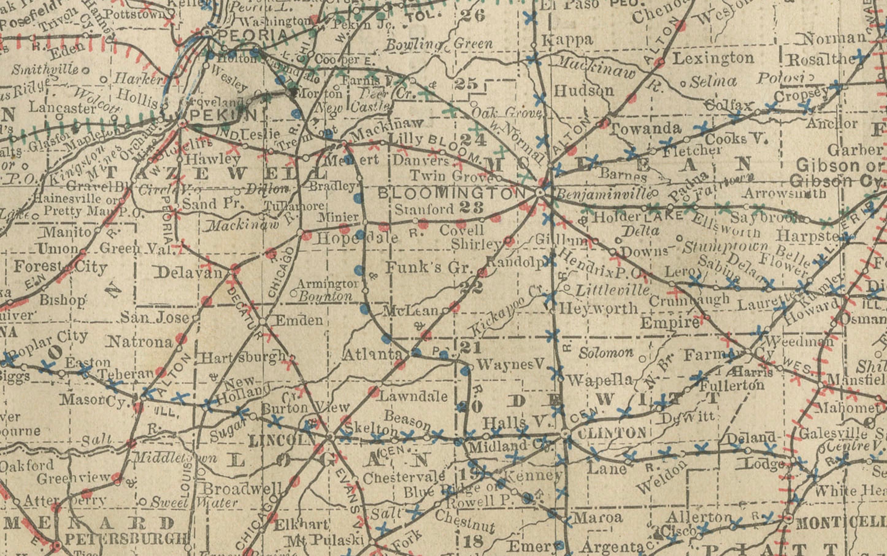
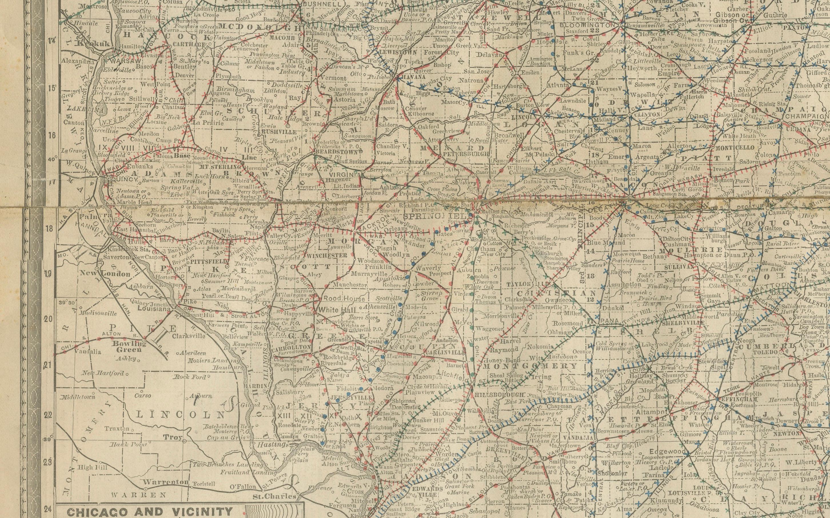
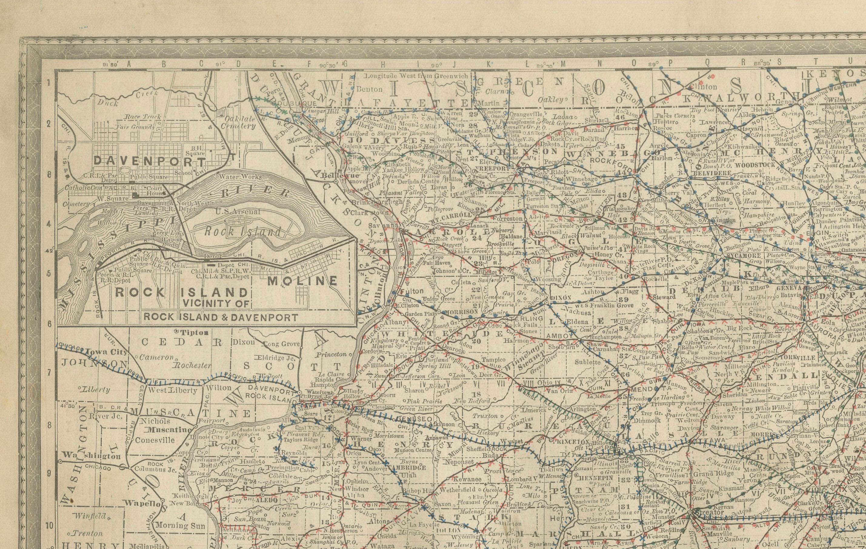
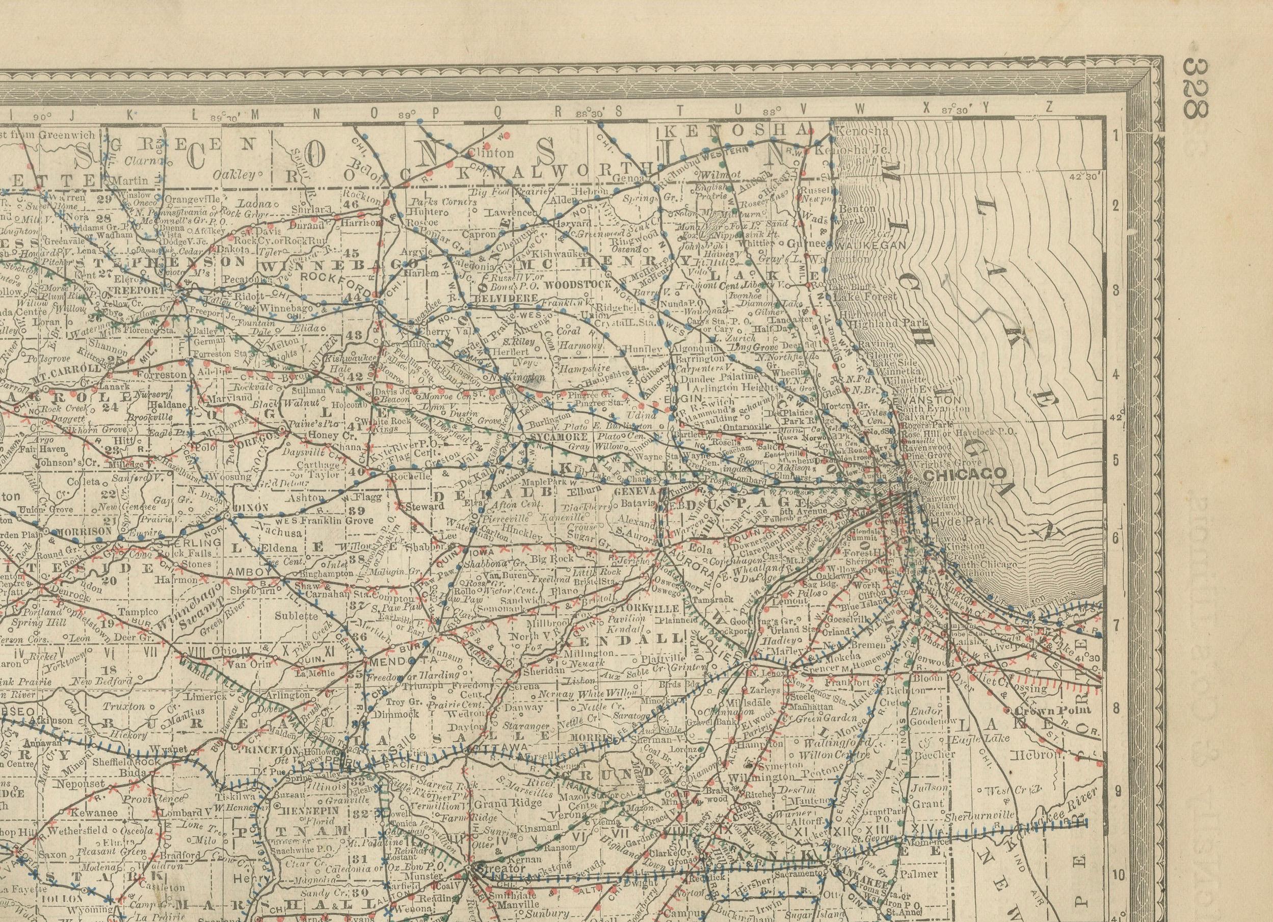
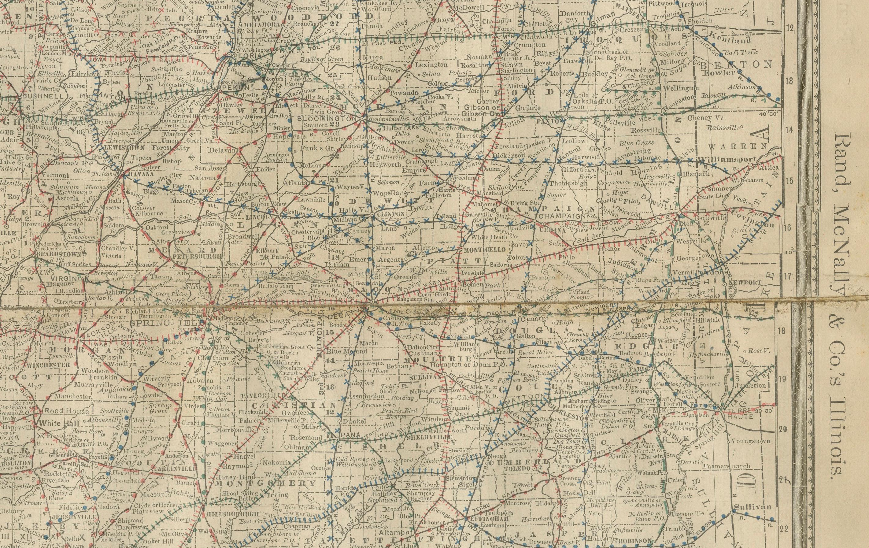
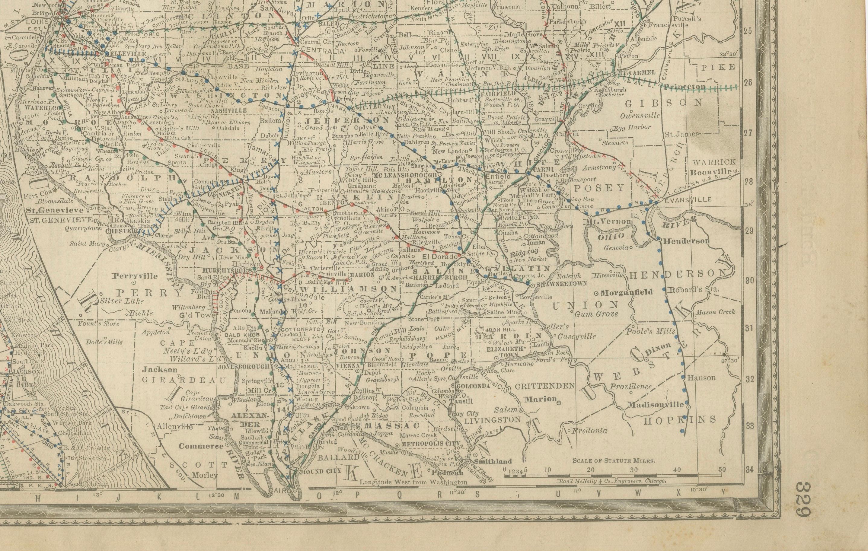
This finely detailed antique map shows the state of Illinois in the late 19th century, engraved and published in 1888 by Rand, McNally & Co. for their Improved Indexed Business Atlas and Shippers Guide. It captures Illinois at a time of rapid industrial growth, dominated by the expansion of railroads, which are meticulously traced across the state in red and blue lines. Every major and minor railroad company is indicated, revealing the complexity of passenger and freight networks that connected towns, agricultural centers, and industrial hubs.
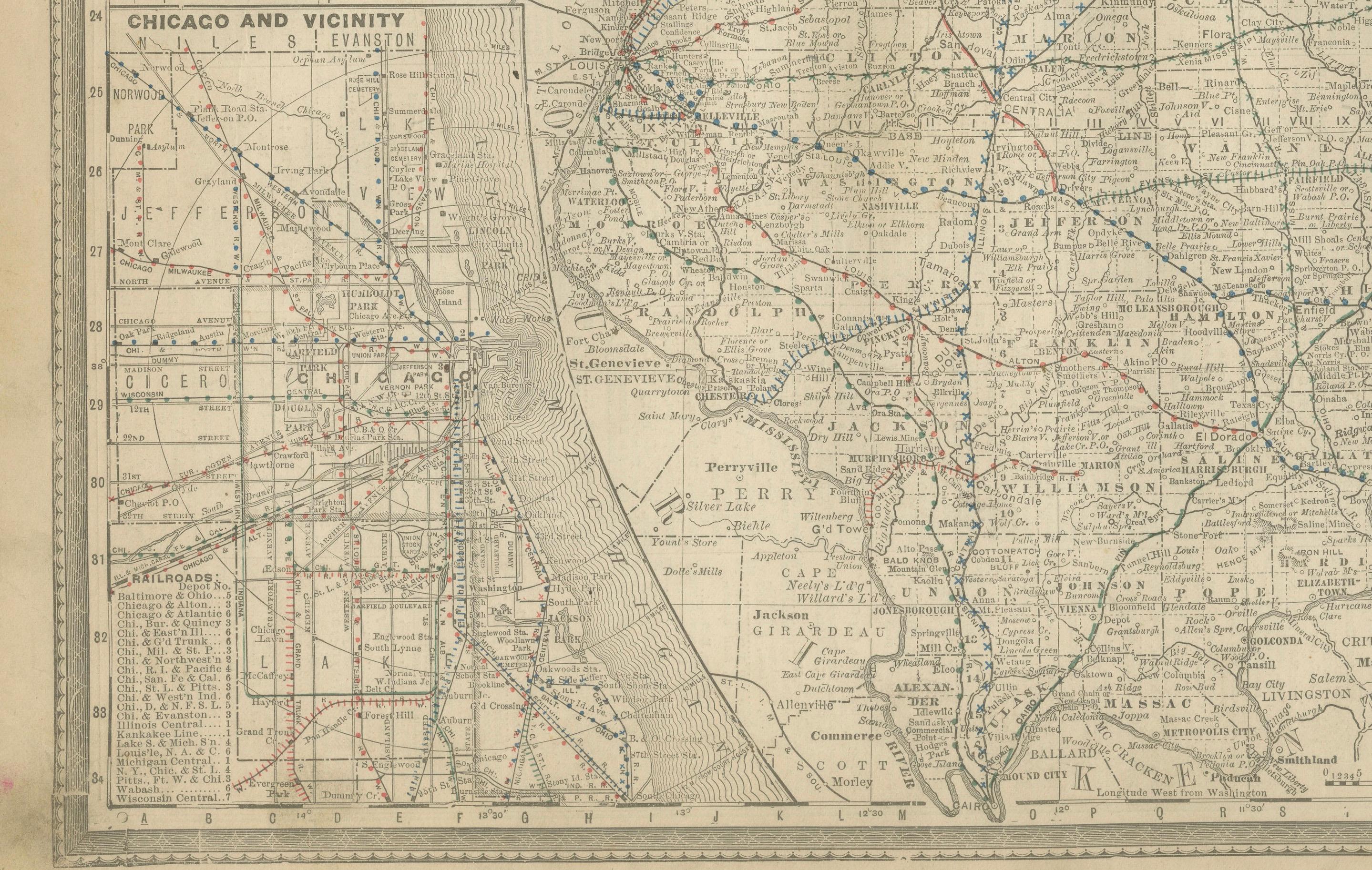
Chicago, situated prominently on Lake Michigan, is shown as the state’s most important transport and economic hub, with dense rail connections radiating outward. The map also includes inset details such as “Chicago and Vicinity” and “Rock Island and Davenport,” highlighting urban areas and regional transport centers. Other cities like Springfield (the state capital), Peoria, Bloomington, Rockford, Decatur, and Cairo appear clearly, alongside countless smaller towns and villages. County boundaries are carefully delineated, making the map an invaluable reference for both historical and genealogical research.
The significance of this piece lies not only in its cartographic precision but also in the historical context it represents. Illinois in the 1880s was a state in transition—Chicago had already recovered and grown dramatically following the Great Fire of 1871, becoming a powerhouse of commerce and immigration. Railroads such as the Illinois Central and the Chicago & Alton linked Chicago to the Mississippi River, St. Louis, and beyond, cementing the state’s role as a transportation crossroads of America. Maps like this were essential tools for shippers, businessmen, and travelers, guiding the movement of goods such as grain, coal, and livestock across the Midwest.
This map was printed using engraving techniques on paper, typical of Rand McNally’s high-quality atlas productions of the period. It combines clarity with practical information, intended for both business and general use.
Condition summary: Good condition for its age, with light toning to the paper and some wear along the original center fold. Minor handling marks at the margins, small edge nicks, and faint foxing in places, but no major tears or repairs. Plate impression is clear and paper remains strong.
Framing tips: This map would look impressive framed in dark wood or walnut for a period feel, or in black for a modern contrast. A cream or light ivory mount will highlight the fine engraved detail, while a double mat in ivory with a darker accent (such as deep red or grey) can draw attention to the intricate railroad network.
Technique: Engraving
Maker: Rand, McNally & Co., Chicago, 1888