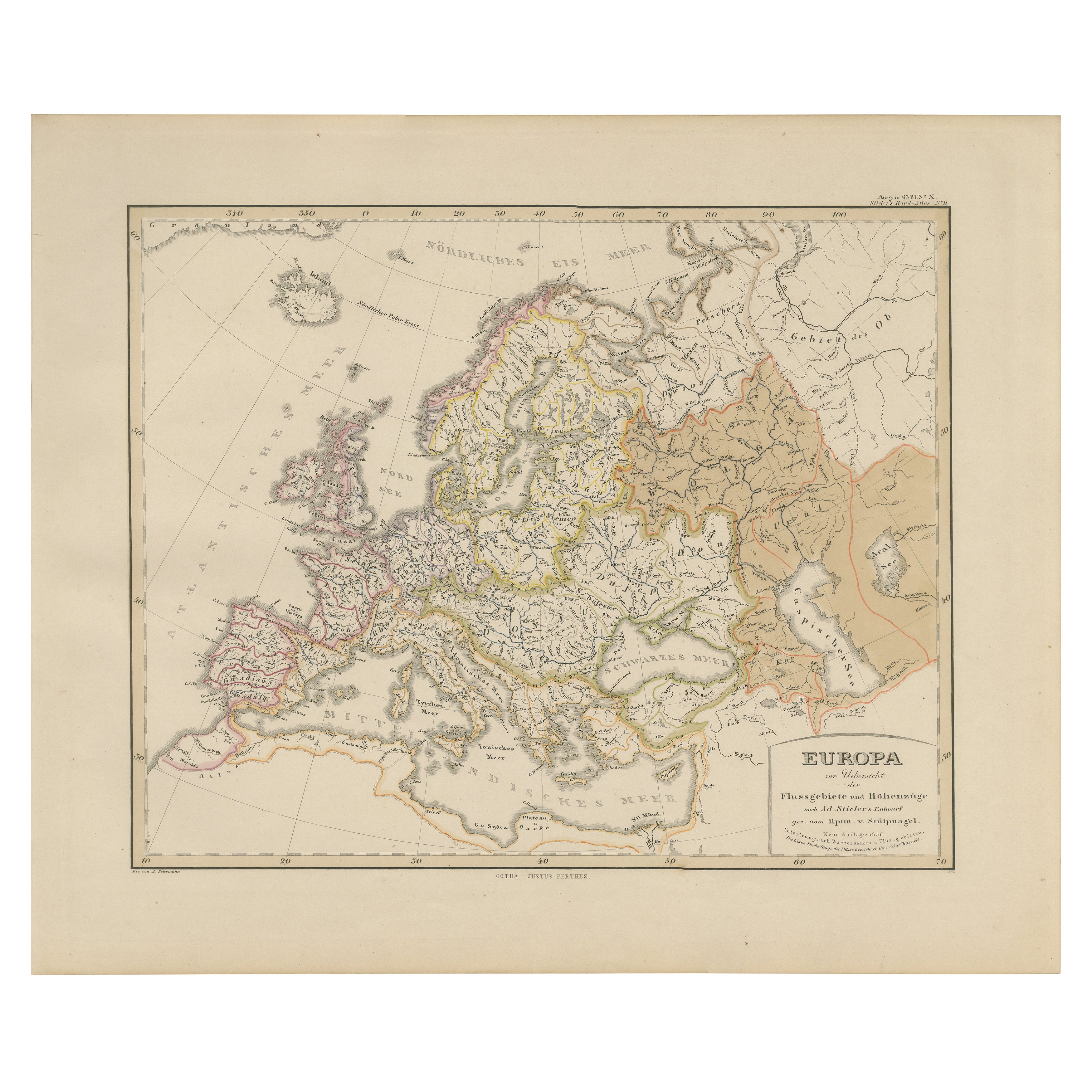
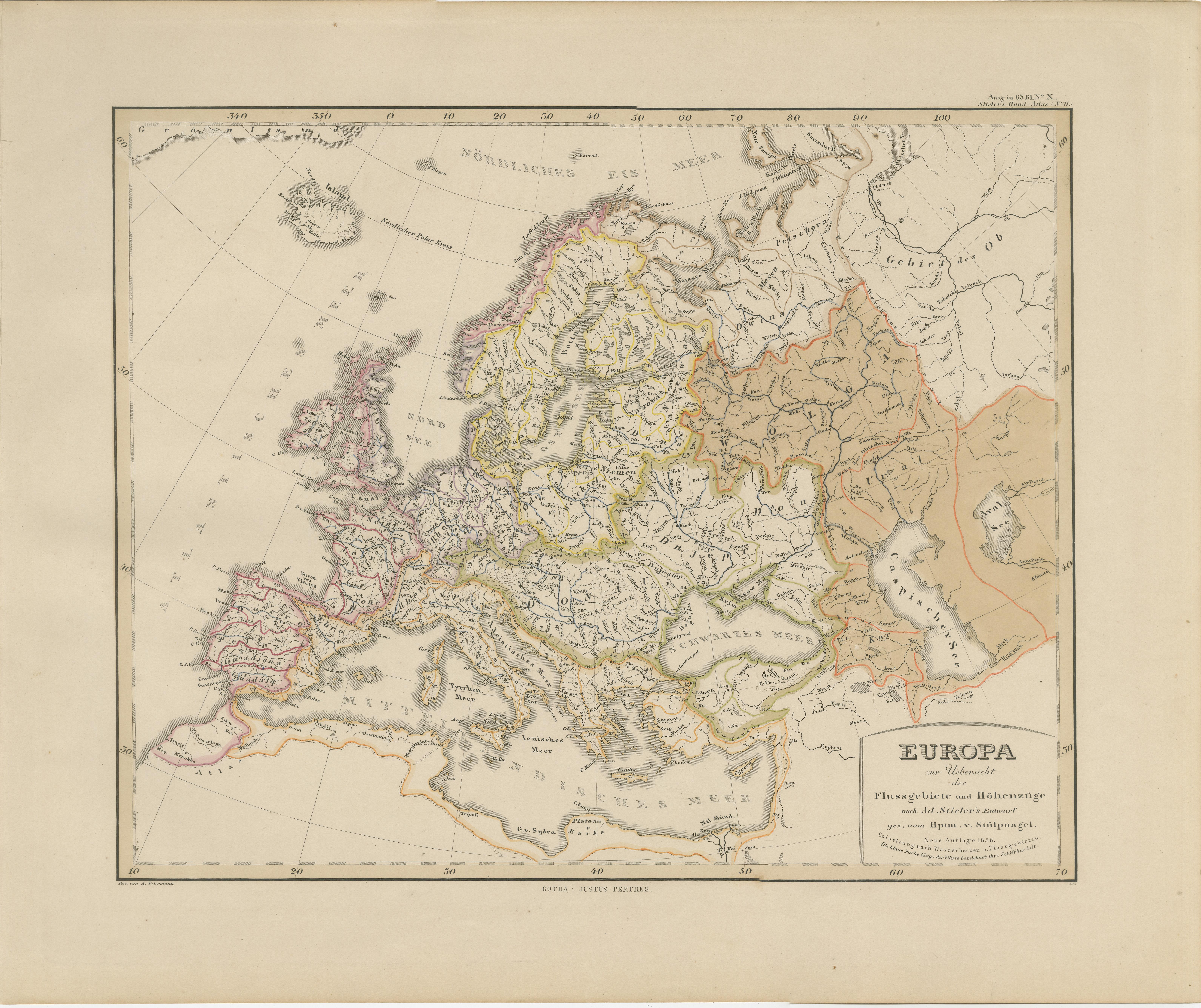
Europe Map – Rivers, Watersheds and Elevation, Published in 1857
€ 360
One of a kind: this is the sheet in the photographs. Ships from Langweer, the Netherlands.
Date
1857
Sheet size
37.5 × 45.4 cm (14.8 × 17.9 in)
Condition
Good
Reference
BG-05552-11
Condition
Condition summary: Excellent condition with strong impression, minimal age toning, and no tears, repairs, or significant foxing. Colours remain vivid and the paper is firm and stable.
About this sheet
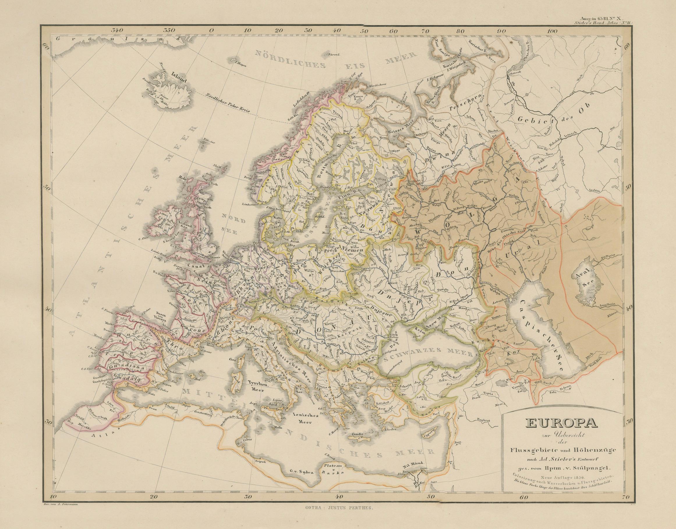
Europe Map – Rivers, Watersheds and Elevation 1857
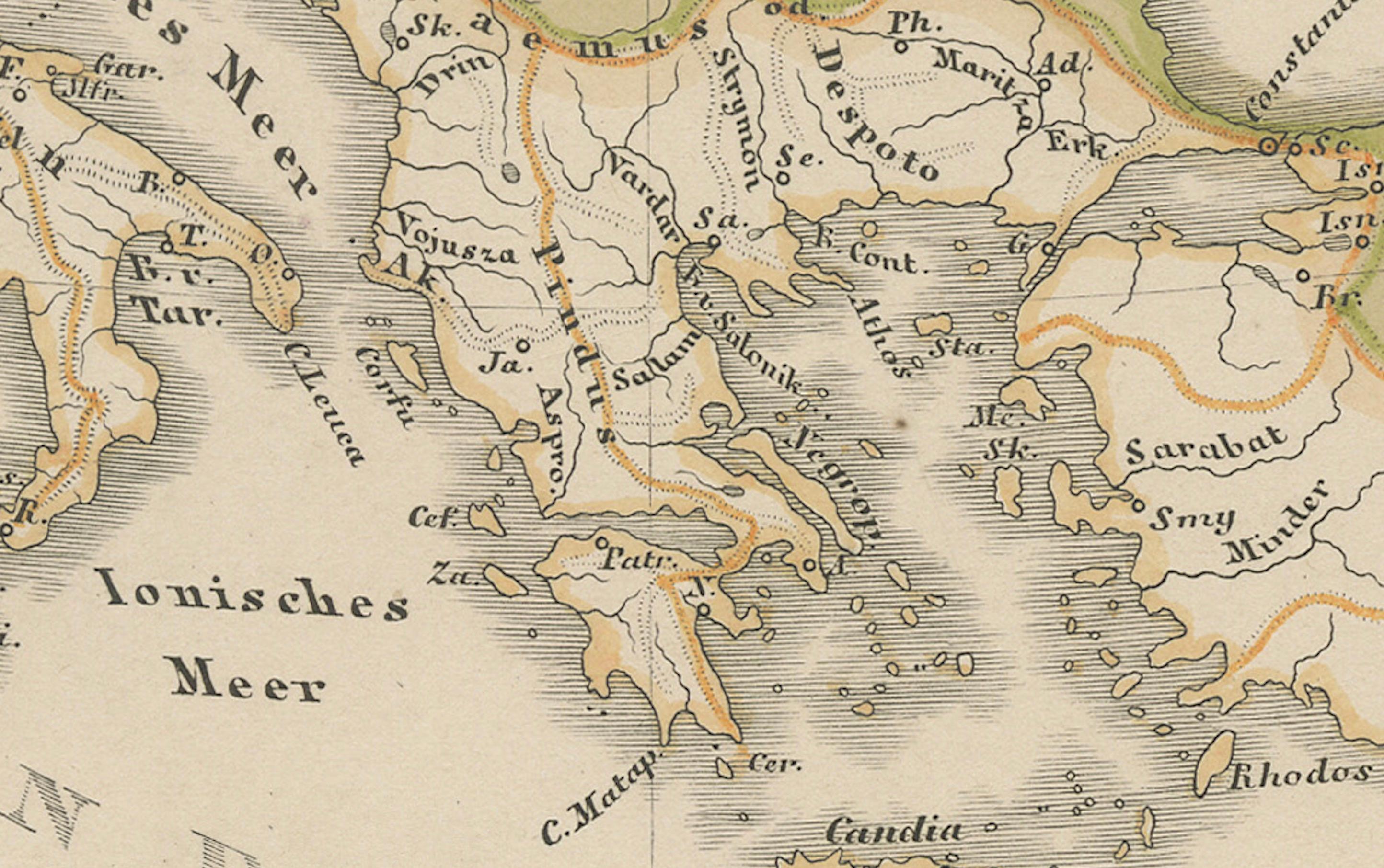
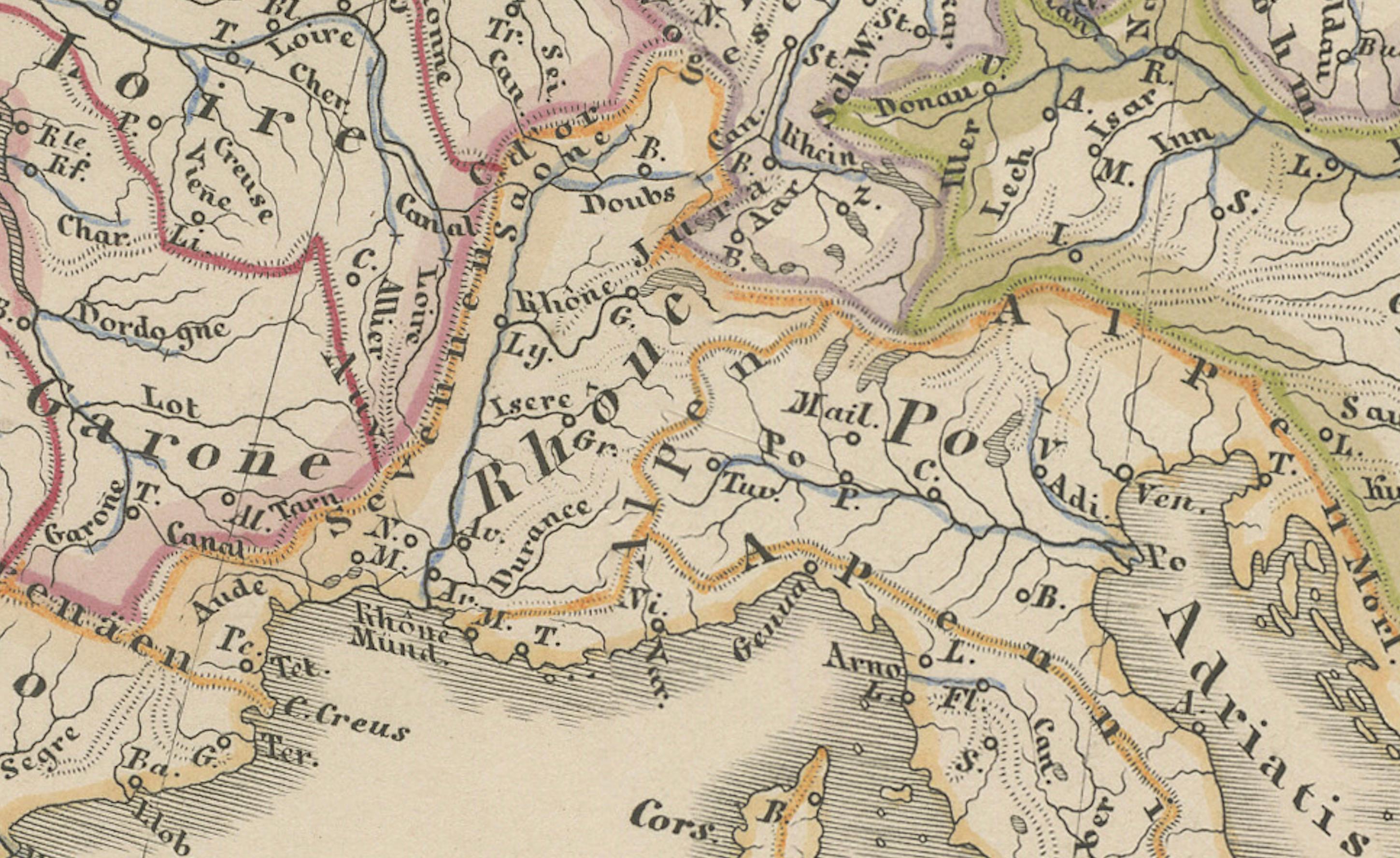
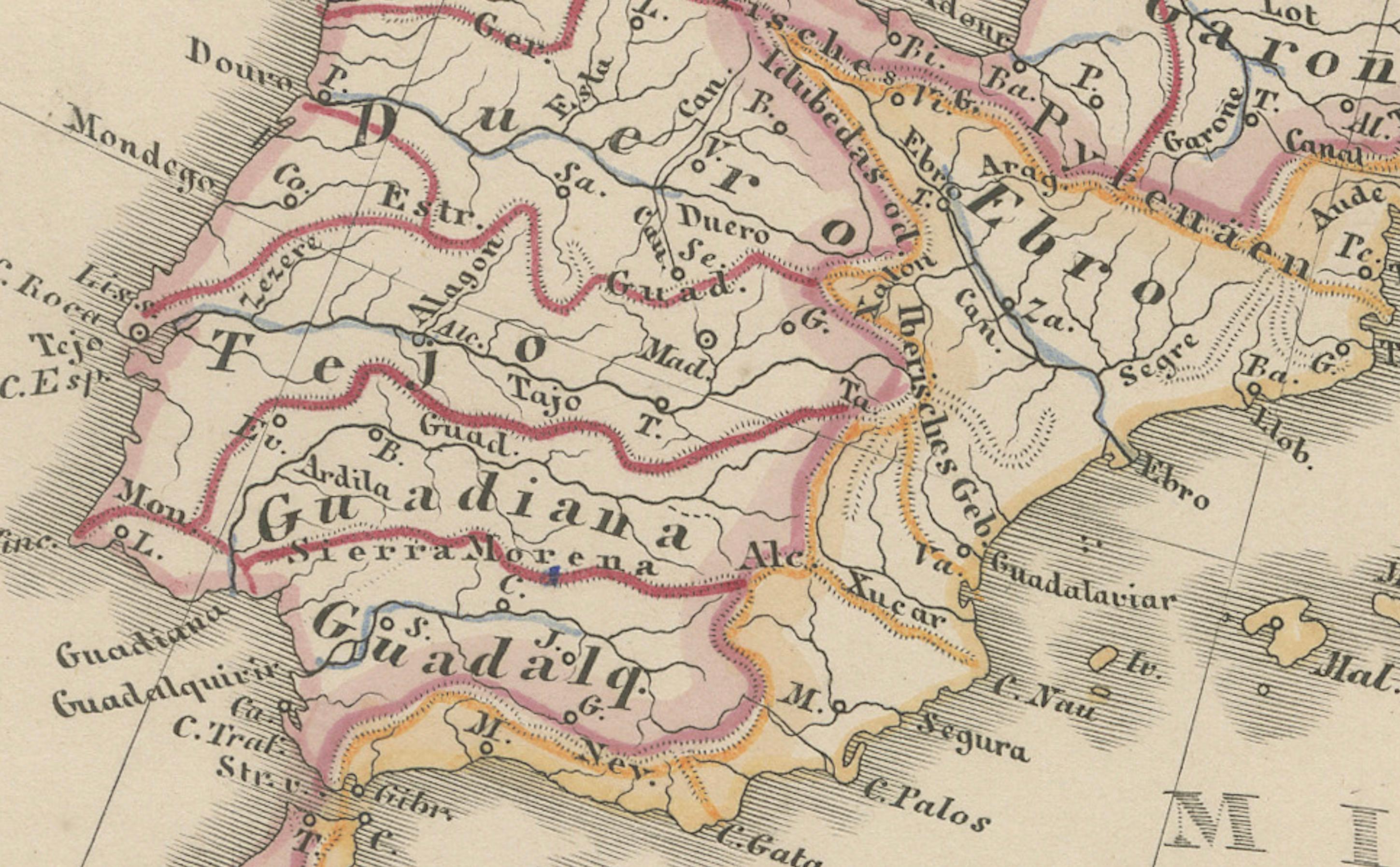
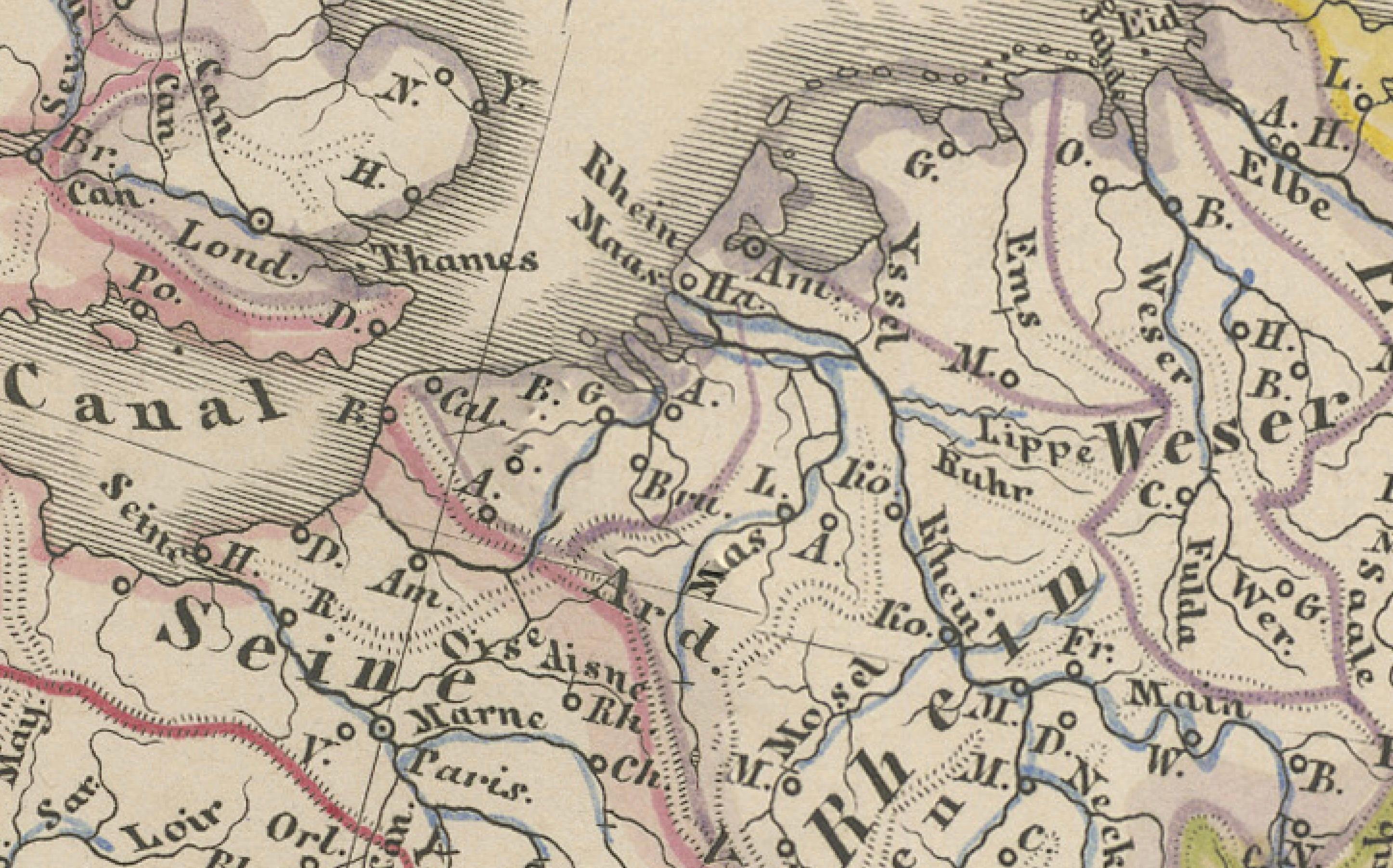
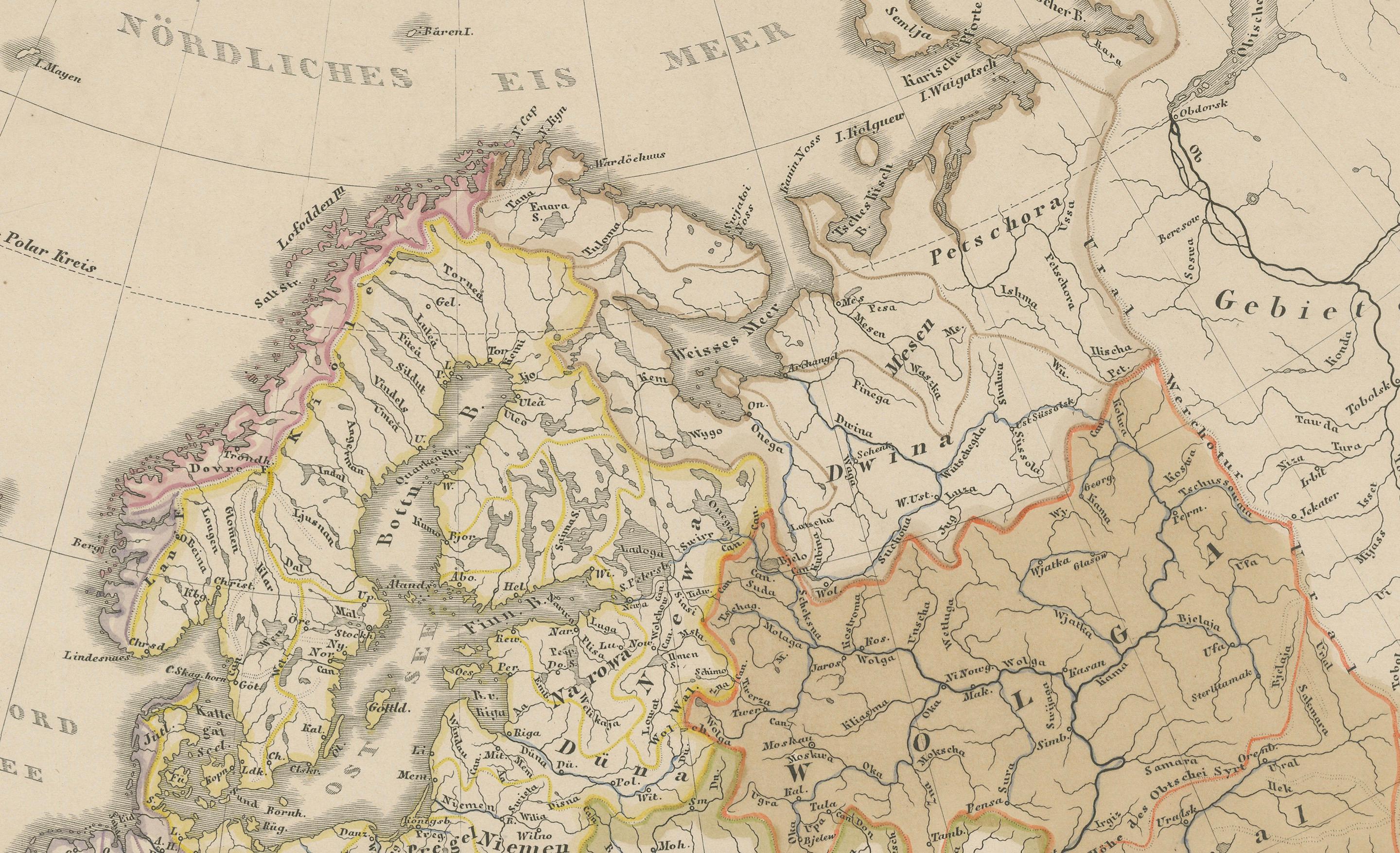
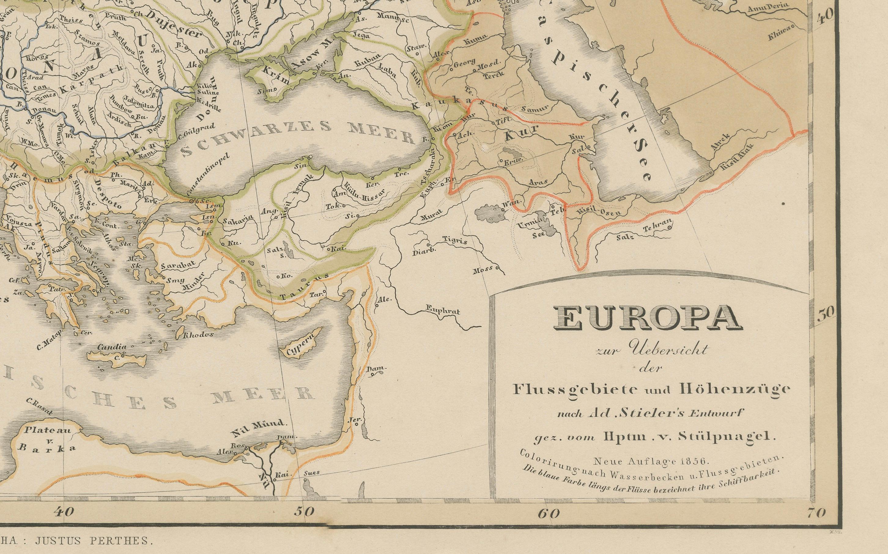
This beautiful antique print shows Europe with its river systems and watershed regions, titled “Europa zur Übersicht der Flussgebiete und Bodenhöhe” meaning “Europe showing river basins and land elevations.” The map highlights Europe’s major drainage basins, including the Volga, Danube, Rhine, and other principal river systems, with fine detail of mountain ranges and elevations throughout the continent.
Published in 1857 by Justus Perthes in Gotha as part of Adolf Stieler’s famous Hand-Atlas, this engraving was prepared under the supervision of cartographer Heinrich Berghaus with contributions from Hrn. v. Stülpnagel. Stieler’s maps are highly regarded for their scientific accuracy and elegant presentation, making them indispensable references in European geography during the 19th century.
This map is significant as it combines hydrological and topographical information, illustrating how Europe’s rivers shape its natural and human geography. The delineation of river basins alongside elevation shading provides insight into continental drainage patterns, supporting historical studies in geography, settlement development, trade routes, and environmental history.
Technique: Copperplate engraving with original hand colouring to differentiate political boundaries and river basins. German titles and annotations are engraved with clarity and precision typical of Stieler’s atlases.
Condition summary: Excellent condition with strong impression, minimal age toning, and no tears, repairs, or significant foxing. Colours remain vivid and the paper is firm and stable.
Framing tips: This detailed map will look refined in a dark wood or black frame to enhance its scientific and historical presentation. A wide cream or ivory mount will create balance and focus attention on the engraving. UV-protective glass is recommended to preserve the engraved lines and original colouring for long-term display.