Planiglob of the Antipodes – Unique Global Projection Map 1857
€ 380
Original antique · The actual sheet photographed · Certificate of authenticity on request · Sold unframed · Worldwide shipping from € 15 (rates)
Date
1857
Technique
Copperplate engraving with original hand coloring to highlight land masses in ochre tones and oceans in pale washes, with engraved German titles and explanator
Sheet size
37.5 × 45.4 cm (14.8 × 17.9 in)
Condition
Good
Reference
BG-05552-7
What the condition grades mean
Excellent
Bright and clean, with no faults worth mentioning.
Very good
Only light signs of age, such as faint toning.
Good
Normal signs of age for a sheet of this period: toning, some foxing, small marks or neat old repairs.
Fair
Clear faults such as staining, tears or repairs, priced to match.
Every fault we see is written in the condition note, and the whole sheet is shown uncropped in the photos.
Condition
Condition summary: Excellent condition with strong impressions and minimal age toning. No tears, repairs, or significant foxing observed. Paper remains firm and colors are fresh.
About this sheet
Planiglob of the Antipodes – Unique Global Projection Map 1857
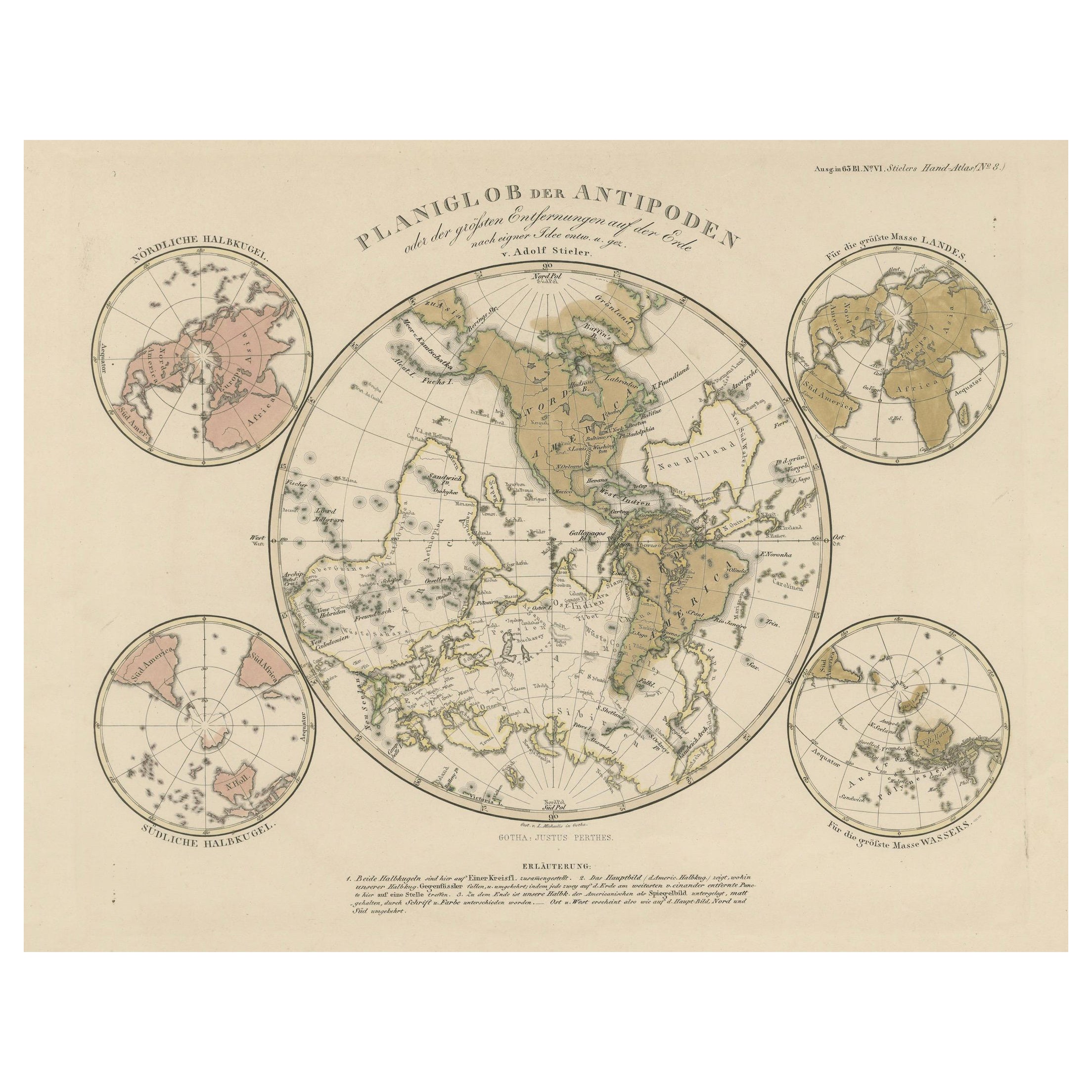
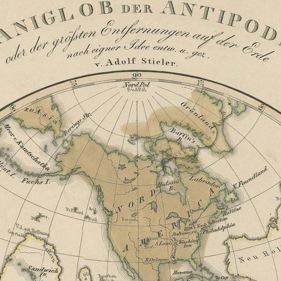
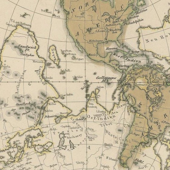
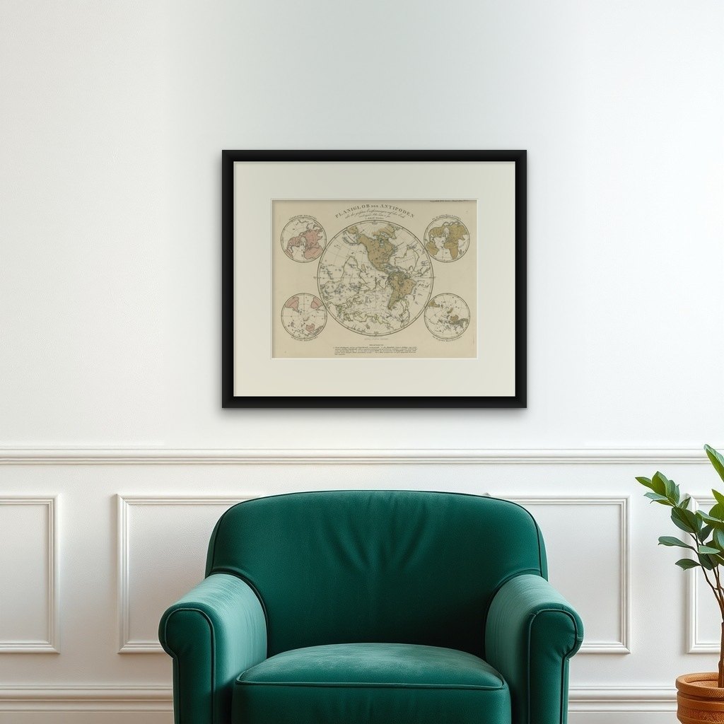
This rare and fascinating antique print shows a “Planiglob der Antipoden” or Planiglob of the Antipodes, depicting the world from an unusual perspective to illustrate opposite points (antipodes) on the Earth’s surface. The central map focuses on the Northern Hemisphere in an azimuthal projection centred on the North Pole, showing Europe, Asia, and North America with clarity. Surrounding the main map are four inset globes:
– Top left: Northern Hemisphere – Bottom left: Southern Hemisphere – Top right: The globe showing the greatest landmass – Bottom right: The globe showing the greatest water mass (oceans and seas)
Published in 1857 by Justus Perthes in Gotha as part of Adolf Stieler’s renowned Hand-Atlas, this engraving was created under the editorial direction of leading German cartographer Heinrich Berghaus. Stieler’s atlases were celebrated for their accuracy and innovative projections, and this plate exemplifies the cartographic creativity of the period.
This map is significant for its scientific purpose of visualizing global distances and the concept of antipodal points, which was important for navigation, global understanding, and the evolving fields of geology and geography in the mid-19th century. It also beautifully combines multiple cartographic views on a single sheet to aid comparative study.
Condition summary: Excellent condition with strong impressions and minimal age toning. No tears, repairs, or significant foxing observed. Paper remains firm and colors are fresh.
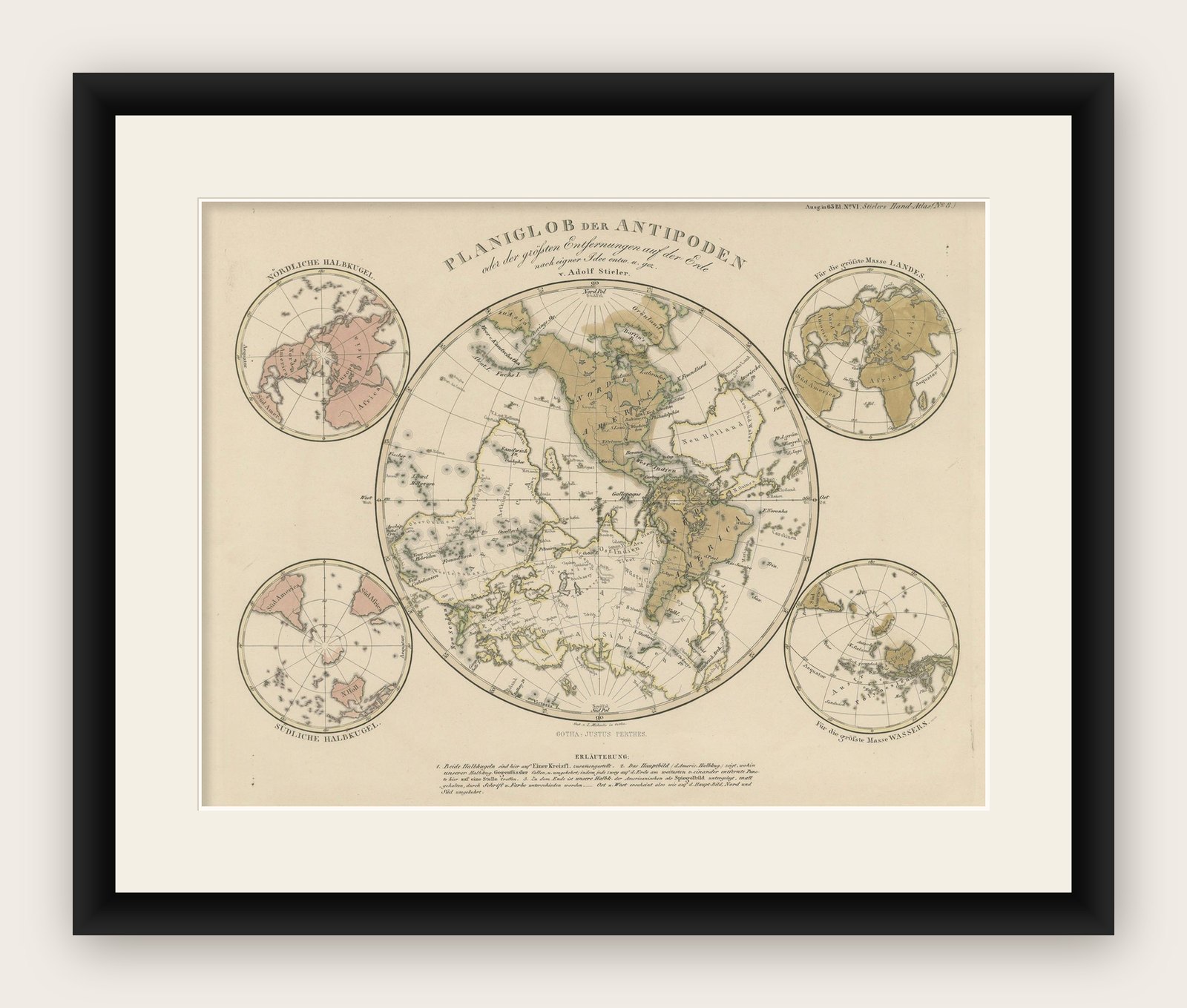
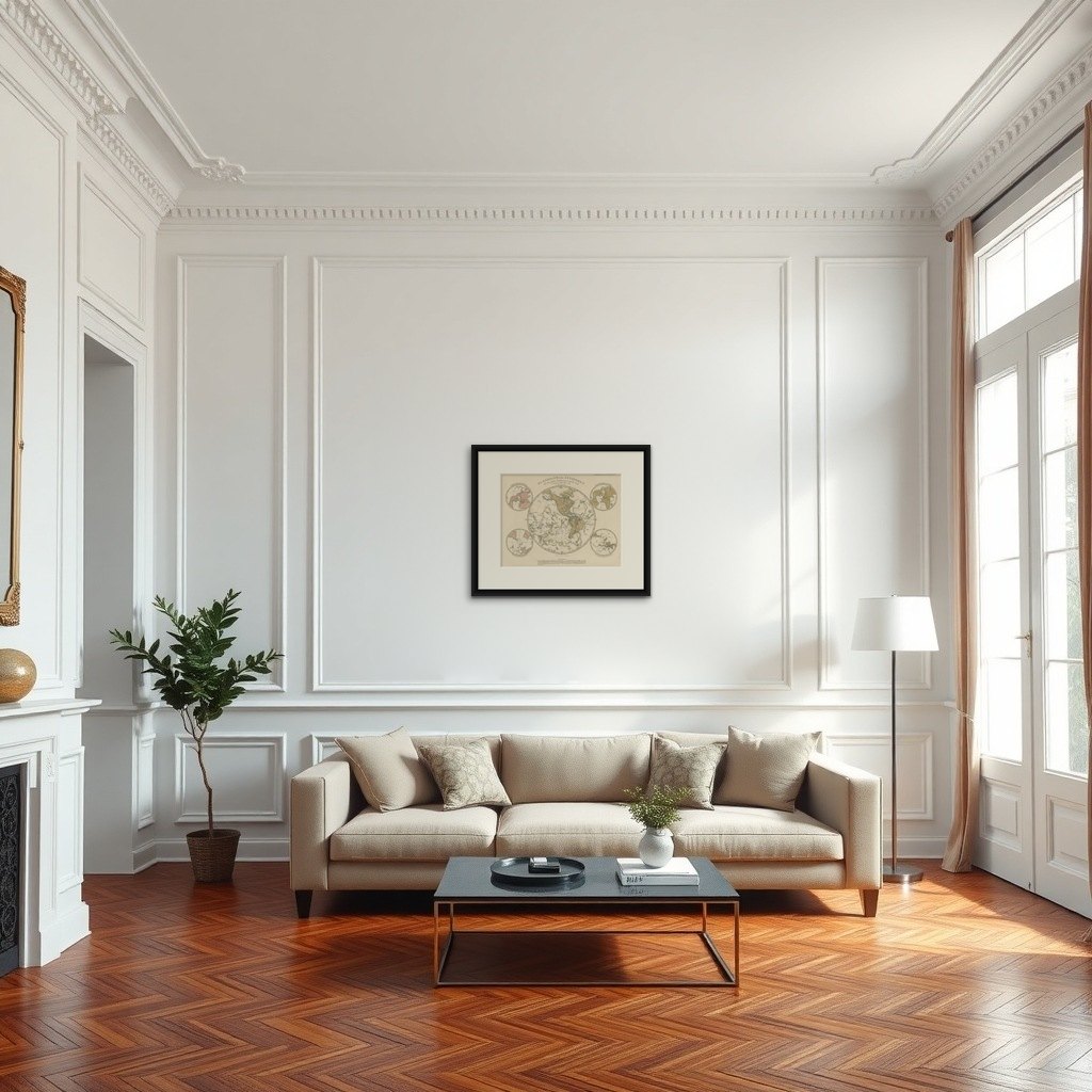
Framing tips: This unique map will look exceptional in a dark walnut or black frame to emphasize its academic appearance, paired with a wide cream or off-white mount to create balance and focus on its detailed composition. UV-protective glass is recommended to preserve the engraved lines and subtle colors for future generations.