About this sheet
Antique Map of Utah – Railroads, Counties & Great Salt Lake, 1888
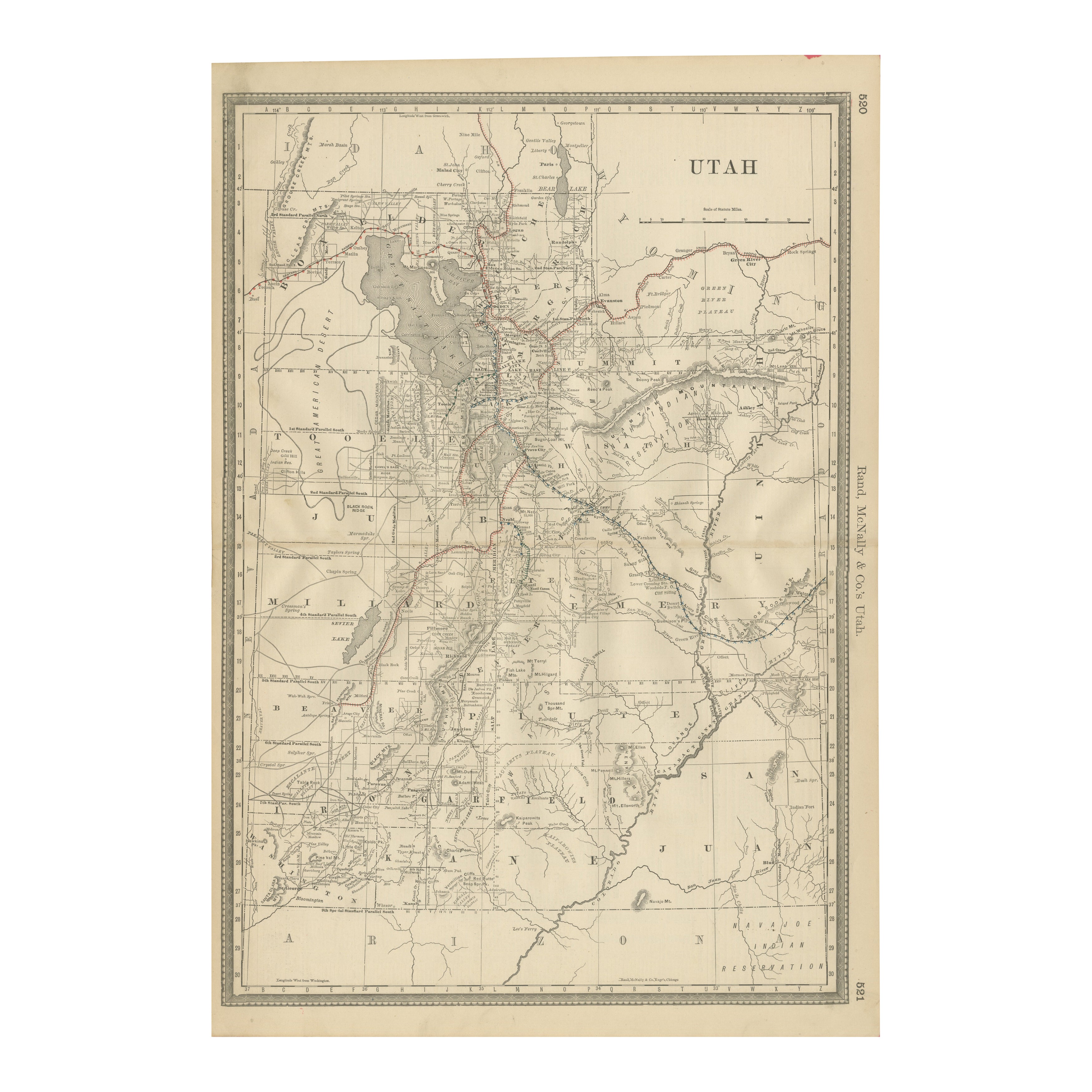
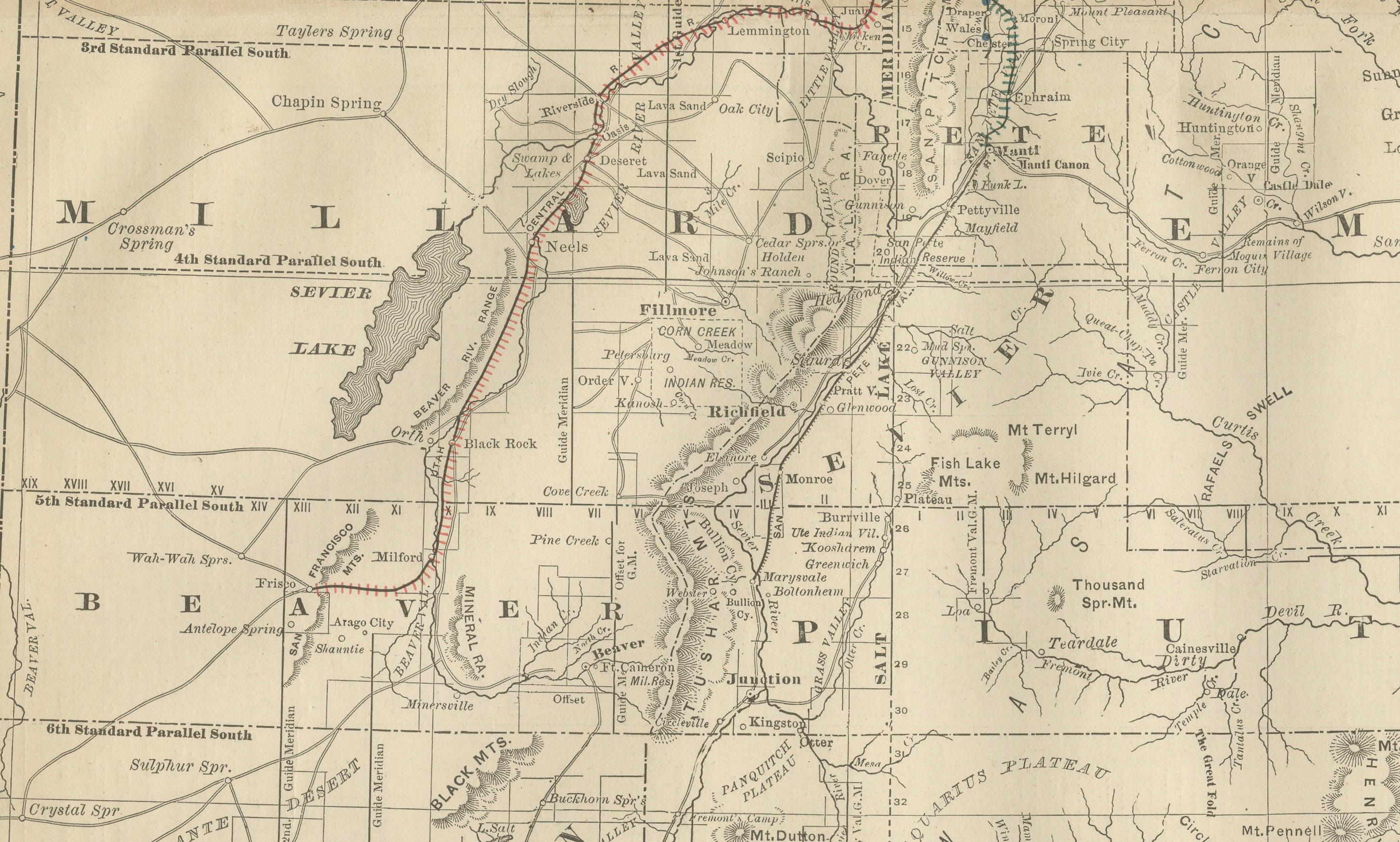
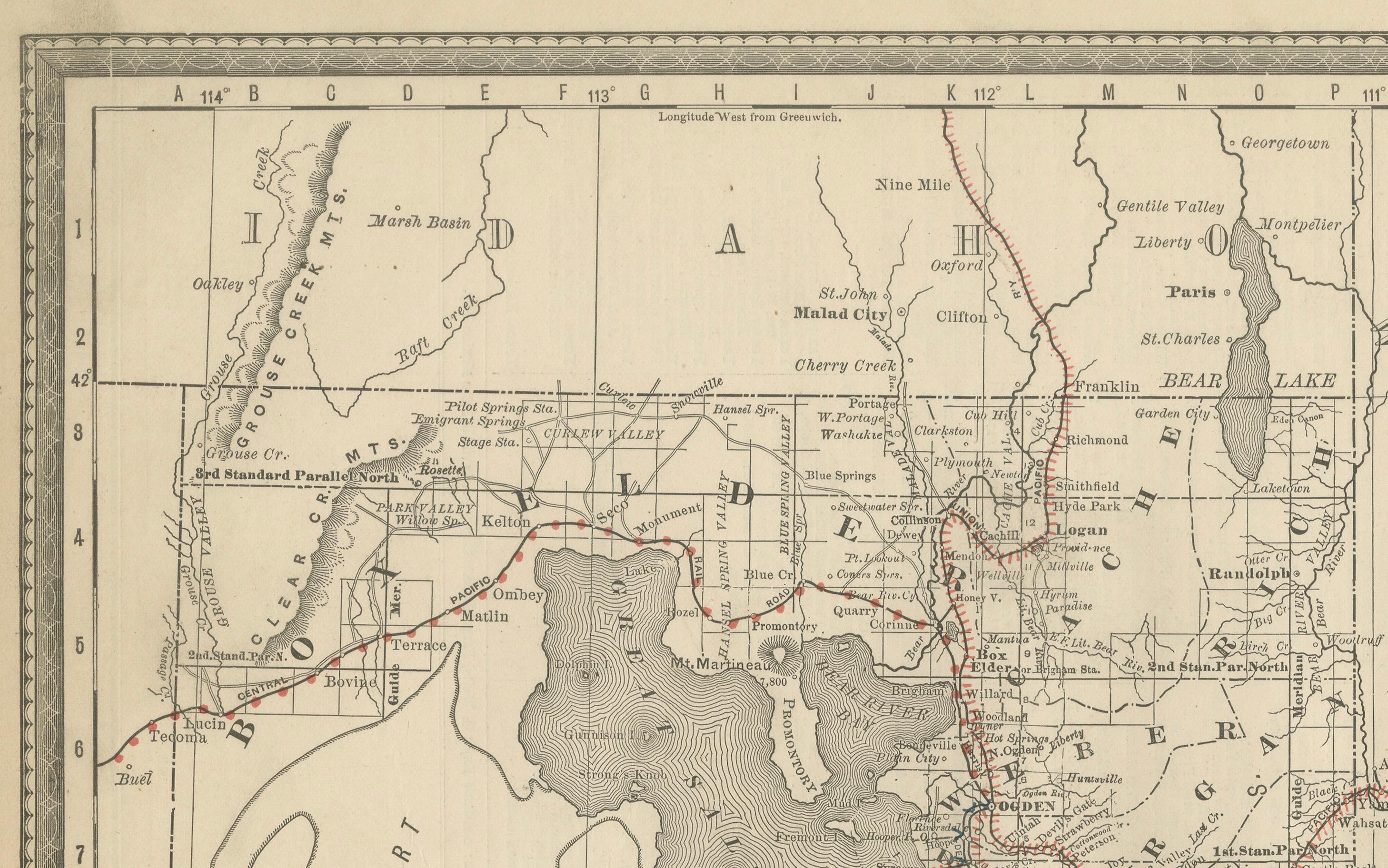
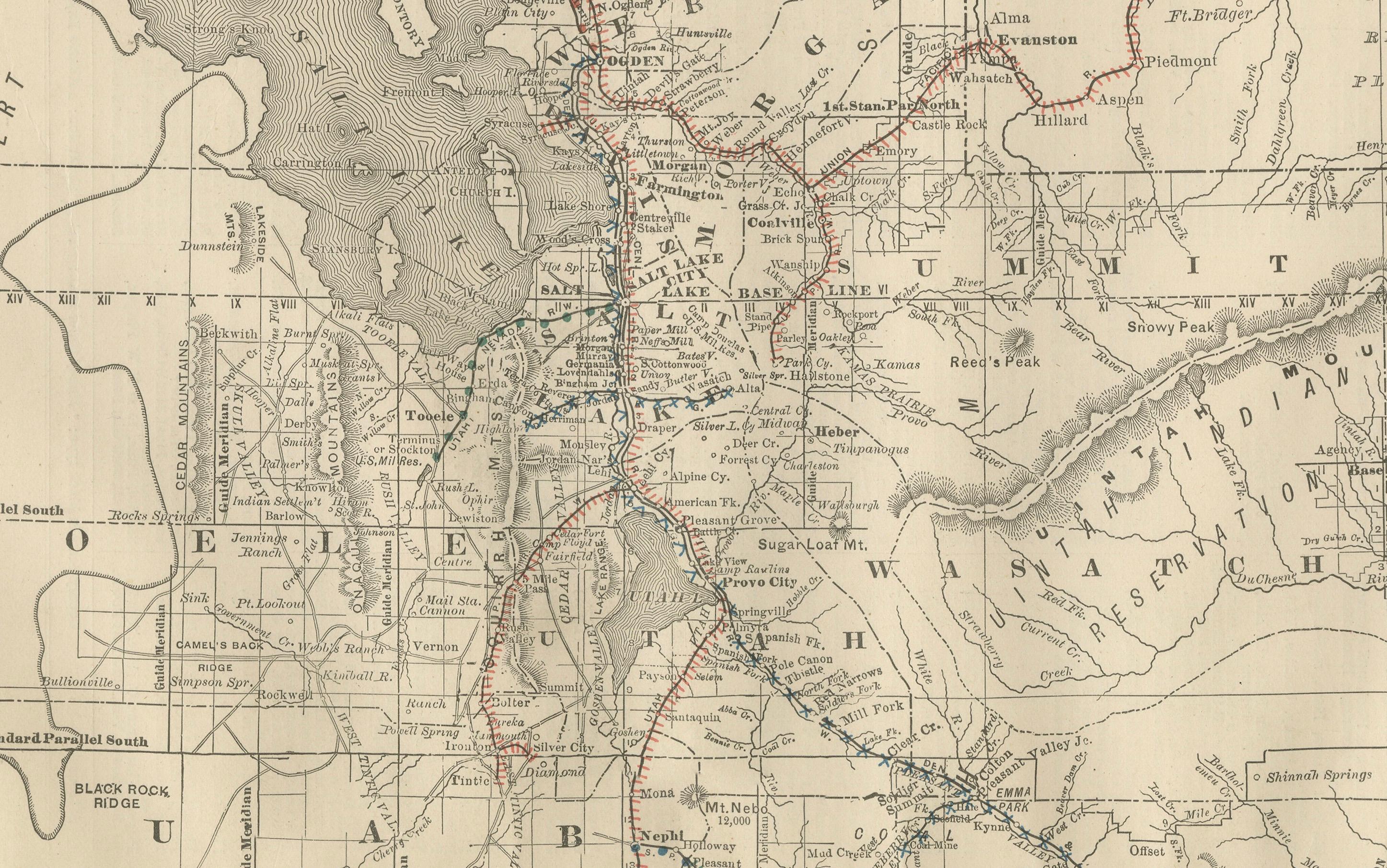
This antique engraved map presents the Territory of Utah in 1888, published by Rand, McNally & Co. in Chicago for their Improved Indexed Business Atlas and Shippers Guide. It shows Utah at a pivotal time in its history, just a few years before statehood in 1896, with its counties, towns, railroads, and geographic landmarks precisely delineated.
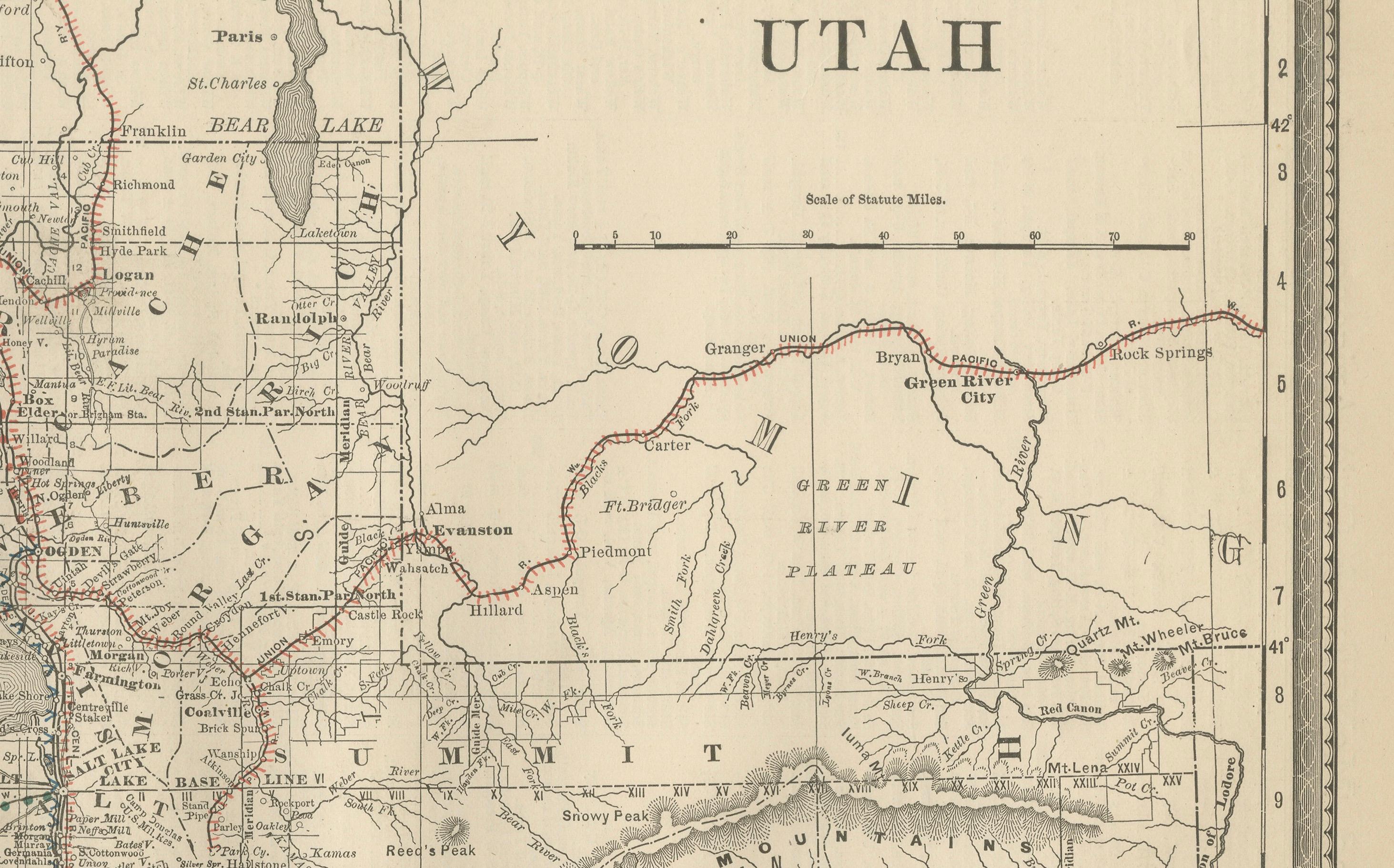
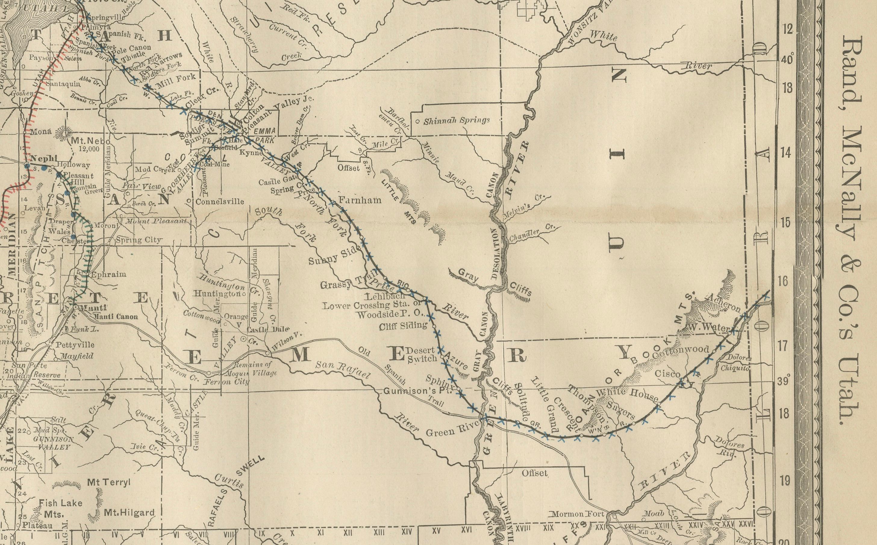
The map emphasizes Utah’s developing railroad system, marked in red and blue, including the Union Pacific and Denver & Rio Grande lines. These railroads passed through Ogden, Salt Lake City, and Provo, connecting the territory’s agricultural valleys, mining camps, and growing towns with national markets. This expansion of transport was crucial for integrating Utah’s economy, particularly for the shipment of silver, copper, and agricultural products.
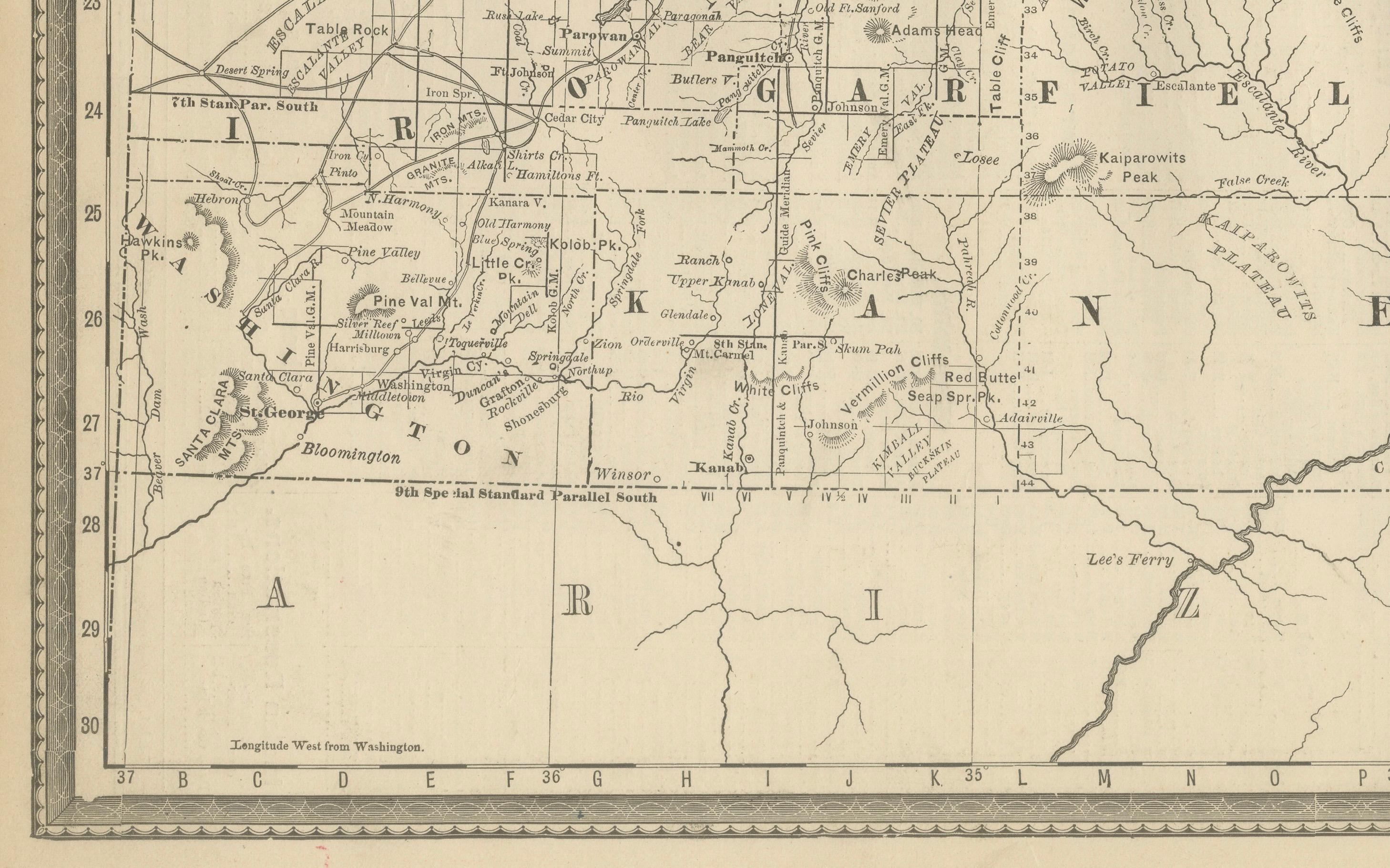
Counties such as Salt Lake, Utah, Weber, Cache, Iron, Washington, and Sanpete are shown with their towns and villages. Salt Lake City, already the political and cultural center of the territory, is prominently displayed near the Great Salt Lake. Mining districts and frontier towns appear throughout, reflecting the economic diversity of late 19th-century Utah.
Notably, Native American lands are marked, including the Navajo Indian Reservation in the southeast and the Uintah Indian Reservation in the northeast, highlighting the presence and displacement of Indigenous communities during this era of territorial settlement. Geographic features such as the Wasatch Range, Utah Lake, Sevier Lake, the San Rafael Desert, and the Great Salt Lake are carefully engraved, giving the map depth and topographic clarity.
The historical significance of this map lies in its timing. In 1888, Utah was still a U.S. territory, its politics shaped by debates over Mormon settlement, federal authority, and eventual statehood. The railroads had opened up the territory, and settlement expanded rapidly along the valleys of the Wasatch Front, while the south remained sparsely populated but strategically important.
Printed using precise engraving techniques, this map reflects Rand McNally’s reputation for clarity and accuracy, making it not only a functional tool for shippers and businessmen but also a document of western expansion in the late 19th century.
Condition summary: Good condition overall. Mild toning of the paper, light foxing at the margins, and original fold lines as issued. Paper remains strong and the plate impression is sharp. No major tears or repairs.
Framing tips: A dark oak or walnut frame complements the antique character of the map, while a black frame with ivory matting provides a clean, modern contrast. A double mat in cream with a muted earth-tone accent would highlight Utah’s deserts and mountain ranges beautifully.
Technique: Engraving
Maker: Rand, McNally & Co., Chicago, 1888