Antique Maps of Western Europe
1,929 original sheets

Parthian Empire Map, Arsacid Persia & Bactria, Wilkinson London 1817
1817 · € 349

Hannibal’s Campaign Map, Spain to Italy via Alps, Wilkinson London 1817
1817 · € 390

Roman Empire Map, Europe Mediterranean & Near East, Wilkinson London 1817
1817 · € 590

Roman Britain Map, Britannia Romana, Ancient England Wales Wilkinson 1817
1817 · € 399
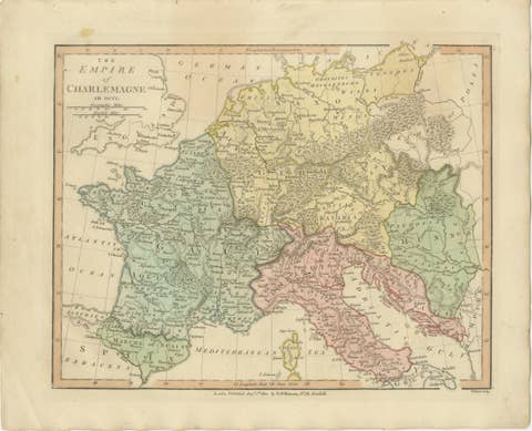
Charlemagne’s Empire Map, Carolingian Europe France Germany Italy 1817
1817 · € 349
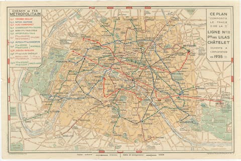
Vintage Paris Metro Map, Ligne 11 Opening, Art Deco Transit Plan, 1935
1935 · € 445
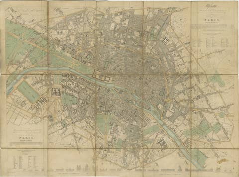
Antique Map Paris, SDUK Plan, Linen Backed, Hand Colored c.1855
1855 · € 990
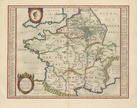
Caesar’s Gallia Antiqua – Blaeu Map of Ancient France, c.1642
1642 · € 5 950
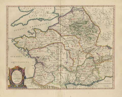
Caesar’s Gallia Veteris – Blaeu Map of Ancient Gaul, France c.1642
1642 · € 5 500
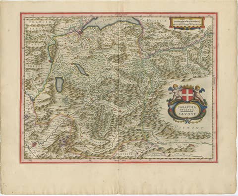
Blaeu Map of Savoy & Alps, Geneva Piedmont France Italy, c.1642
1642 · € 4 750
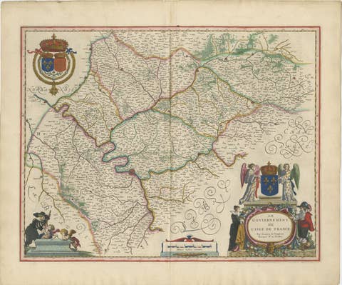
Blaeu Map of Île-de-France – Paris Region with Royal Arms, c.1642
1642 · € 3 450
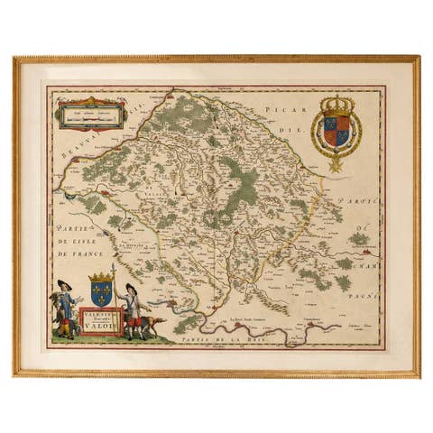
Antique Map of Valois, Picardy France – Blaeu Hand Colored c.1642
1642 · € 3 950
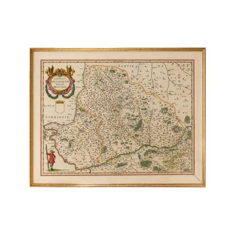
Antique Map Beauvais, Picardy France – Blaeu Hand Colored c.1642
1642 · € 3 450
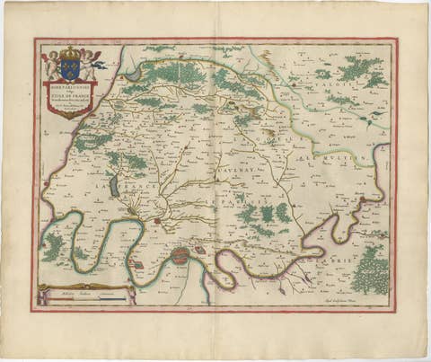
Antique Map Paris & Île-de-France – Blaeu Hand Colored c.1642
1642 · € 4 450
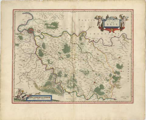
Antique Map Brie & Champagne France, Blaeu c.1642 – Paris Region
1642 · € 4 500
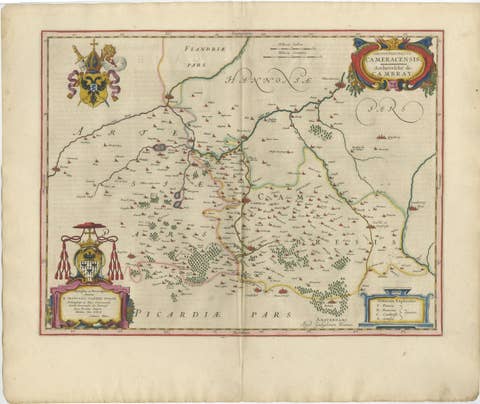
Blaeu Map of Cambrai, Artois & Hainaut – Heraldic France c.1642
1642 · € 4 250
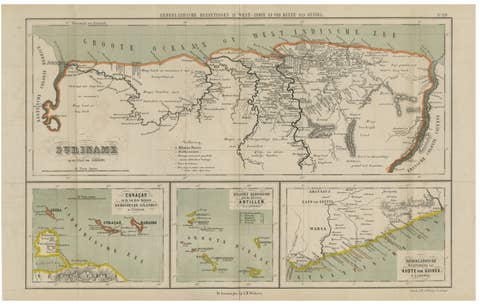
Suriname, Curaçao & Dutch Guinea – Jacob Kuyper Colonial Atlas Map, 1882
1882 · € 390
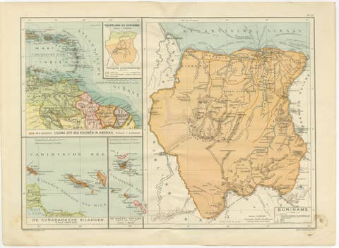
Suriname & the Dutch Antilles – Colonial Atlas Map by W.J. Thieme, c.1905
1905 · € 240
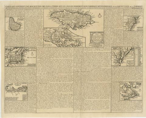
Rare French Colonial America Map, Jamaica Barbados Carolina, c.1719
1719 · € 1 295
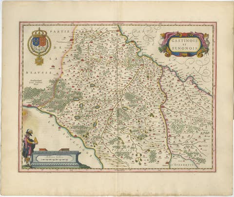
Antique Blaeu Map of Gâtinais & Sénonais France, c. 1642 Hand Color
1642 · € 1 950

Antique Blaeu Map of Champagne France, Campania Comitatus, c. 1642
1642 · € 3 450
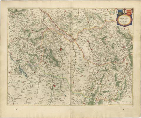
Antique Blaeu Map of Reims & Rethel Champagne France, c. 1642
1642 · € 2 950
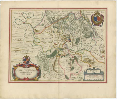
Antique Blaeu Map of Sedan & Donchery France, c. 1642 Hand Color
1642 · € 2 150
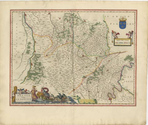
Antique Blaeu Map of Beauce & Perche France, c. 1642 Hand Color
1642 · € 3 250
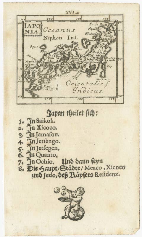
Rare 1683 Mallet Miniature Map of Japan “Iaponia” with German Text
1683 · € 290
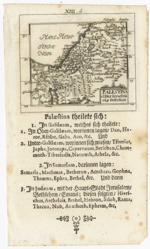
17th Century Holy Land Map “Palestina” with German Biblical Text, c.1650
1650 · € 390
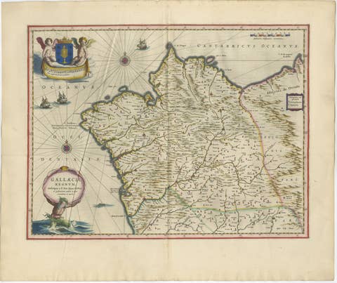
Blaeu Map of Galicia Spain, Decorative Dutch Golden Age Map, 1642
1642 · € 2 850
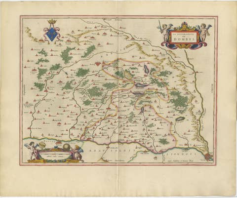
Blaeu's Dombes, Lyonnais and Bresse, France – Original 1642 Map
1642 · € 2 250
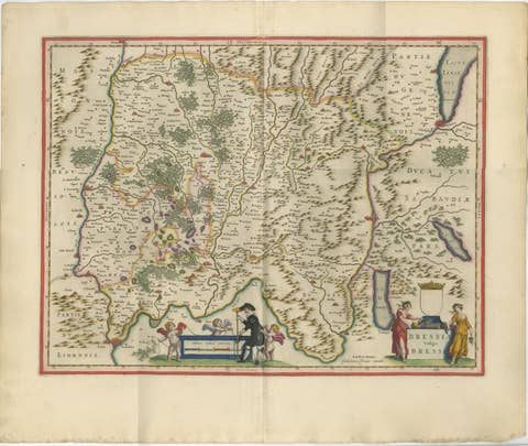
Antique Blaeu Map of Bresse & Dombes, Eastern France – Hand-Colored, c.1642
1642 · € 2 750
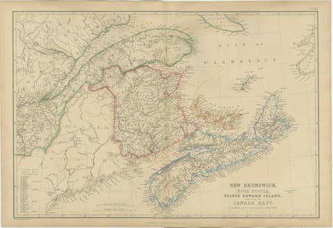
Antique Map of New Brunswick, Nova Scotia, Prince Edward Island and Canada East
€ 360

Antique Map of British North America, Canada and Hudson Bay, 1860
1860 · € 370
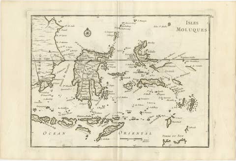
Antique Map of the Moluccas & Celebes, Le Rouge, French Engraving c.1750
1750 · € 395
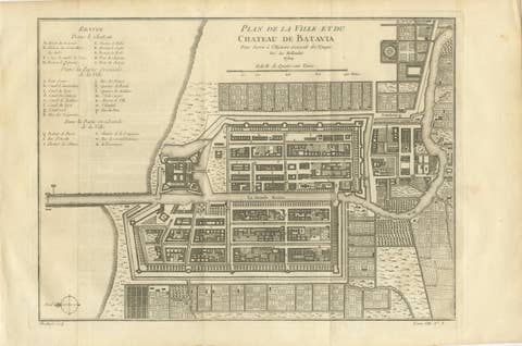
Antique Map of Batavia Jakarta Indonesia, Dutch East Indies, c.1750
1750 · € 545
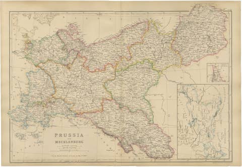
Original Antique Map of Prussia and Mecklenburg, Germany c.1860
1860 · € 440
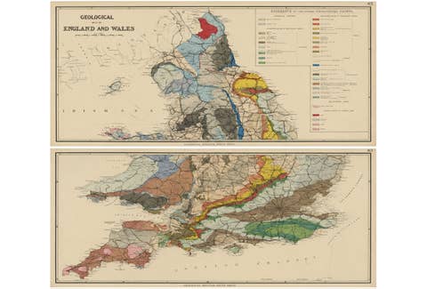
Antique Geological Map of England & Wales, Hand-Colored, c.1880
1880 · € 1 150
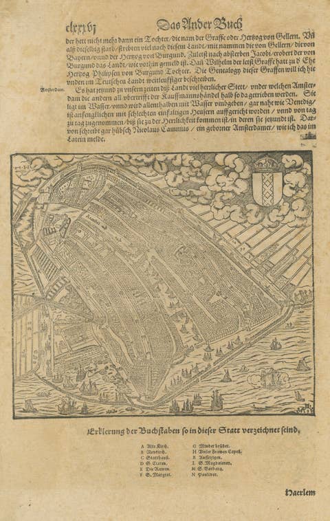
Antique Haarlem Map, Sebastian Münster Cosmographia Woodcut, c.1575
1575 · € 595
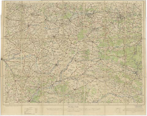
1914 WWI British War Office Map of Arras, Amiens and Reims, Edward Stanford
1914 · € 690
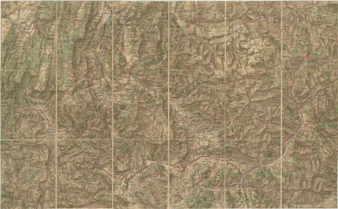
Antique French Alps Map of Albertville & Briançon, Edward Stanford 1908
1908 · € 525
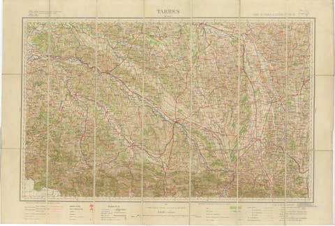
Antique Tarbes & French Pyrenees Folding Map, Edward Stanford, 1922
1922 · € 495
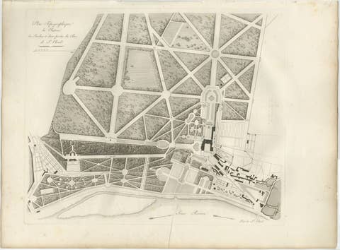
Plan of the Château and Gardens of Saint-Cloud by Baltard, Paris, 1803
1803 · € 425
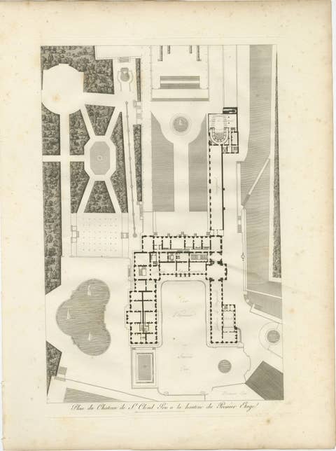
Plan of the Château de Saint-Cloud First Floor by Baltard, Paris, 1803
1803 · € 525
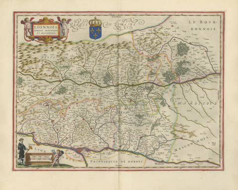
Antique Blaeu Map of Lyonnais, Forez, Beaujolais & Mâconnais, 1642
1642 · € 2 250
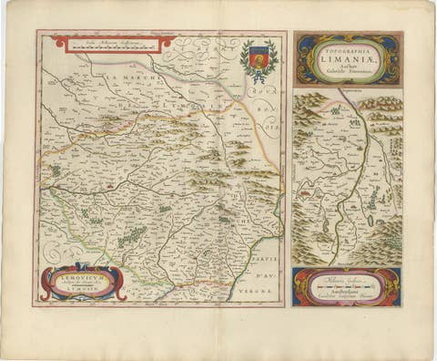
Antique Blaeu Map of Limousin and Limagne, France, circa 1642
1642 · € 2 050
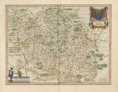
Antique Blaeu Map of Bourbonnais, Moulins and Vichy, France, 1642
1642 · € 2 050

Antique Blaeu Map of Nevers, Nivernais and Morvan, France, 1642
1642 · € 1 950

Antique Blaeu Map of Berry, Bourges and Sancerre, France, 1642
1642 · € 2 050
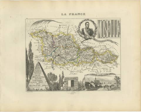
Antique Decorative Map of Moselle, France by Vuillemin, circa 1850
1850 · € 250
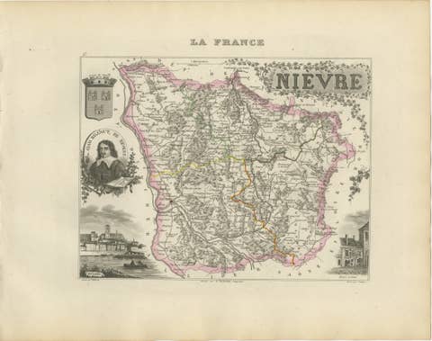
Antique Decorative Map of Nièvre, France by Vuillemin, circa 1850
1850 · € 280