About this sheet
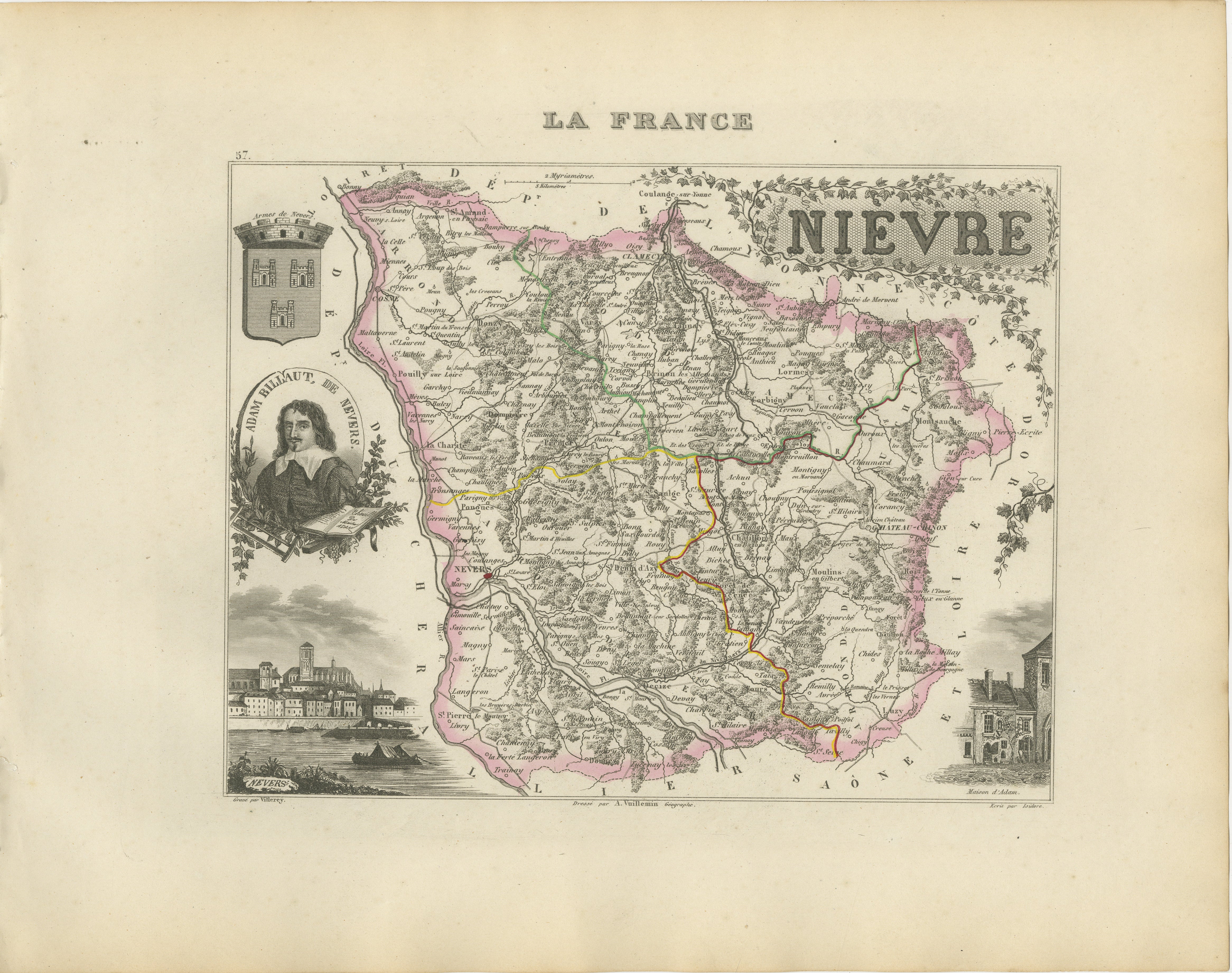
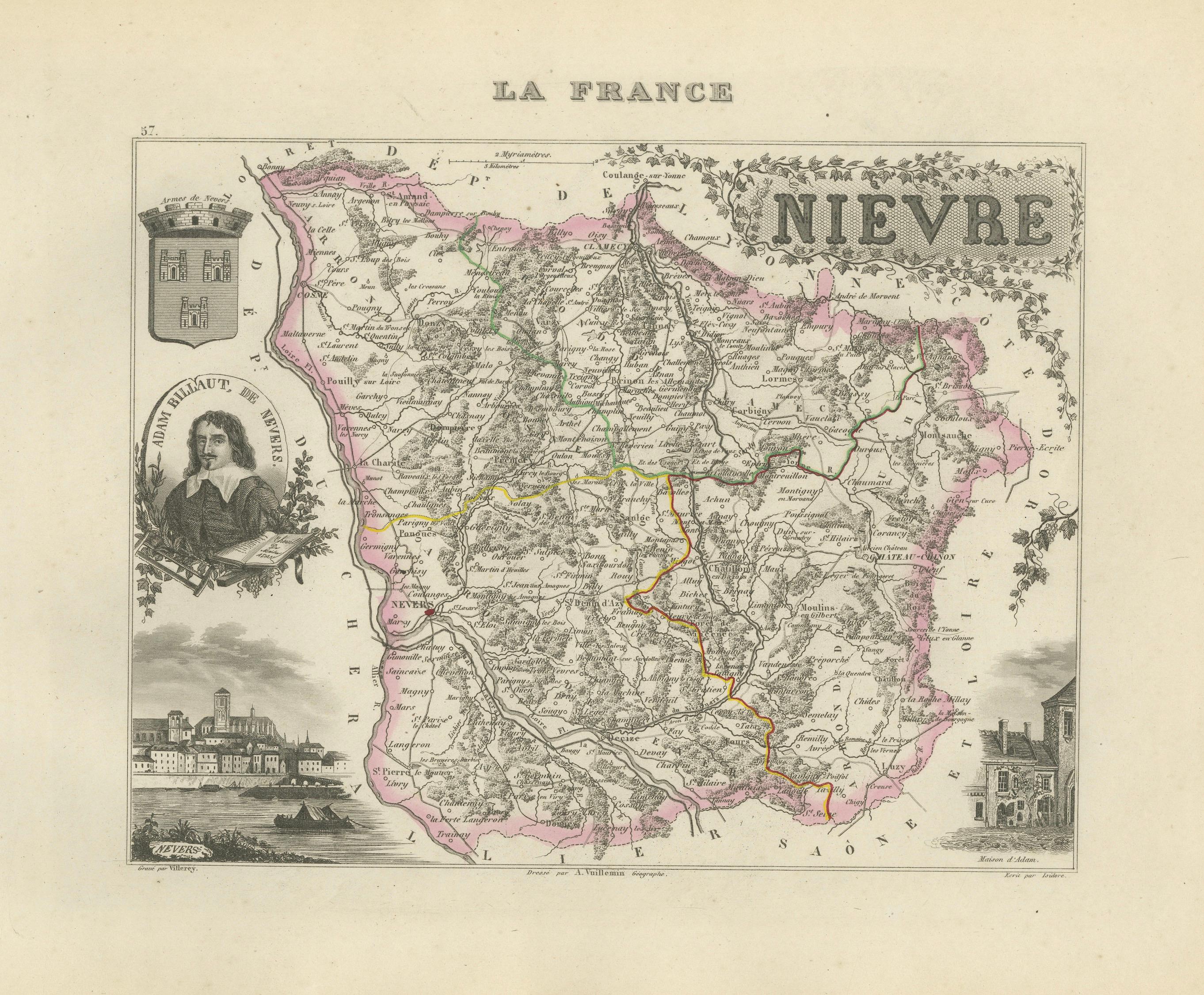
Original antique map of the French department of Nièvre, published in Paris around 1850 by the French cartographer Alexandre Vuillemin.
The map was issued as part of Vuillemin’s celebrated decorative atlas La France Illustrée, a publication admired for combining detailed regional cartography with historical portraits, architectural views and ornamental embellishments.
Numbered 57, the map depicts the department’s towns, villages, roads, rivers and administrative boundaries. The borders and internal divisions are enhanced with attractive original hand colouring.
Prominent locations shown include Nevers, Clamecy, Château-Chinon, Cosne, La Charité-sur-Loire, Decize, Pouilly-sur-Loire, Corbigny, Varzy, Guérigny, Saint-Amand-en-Puisaye, Cercy-la-Tour, Luzy and numerous smaller communities throughout the historic Nivernais region.
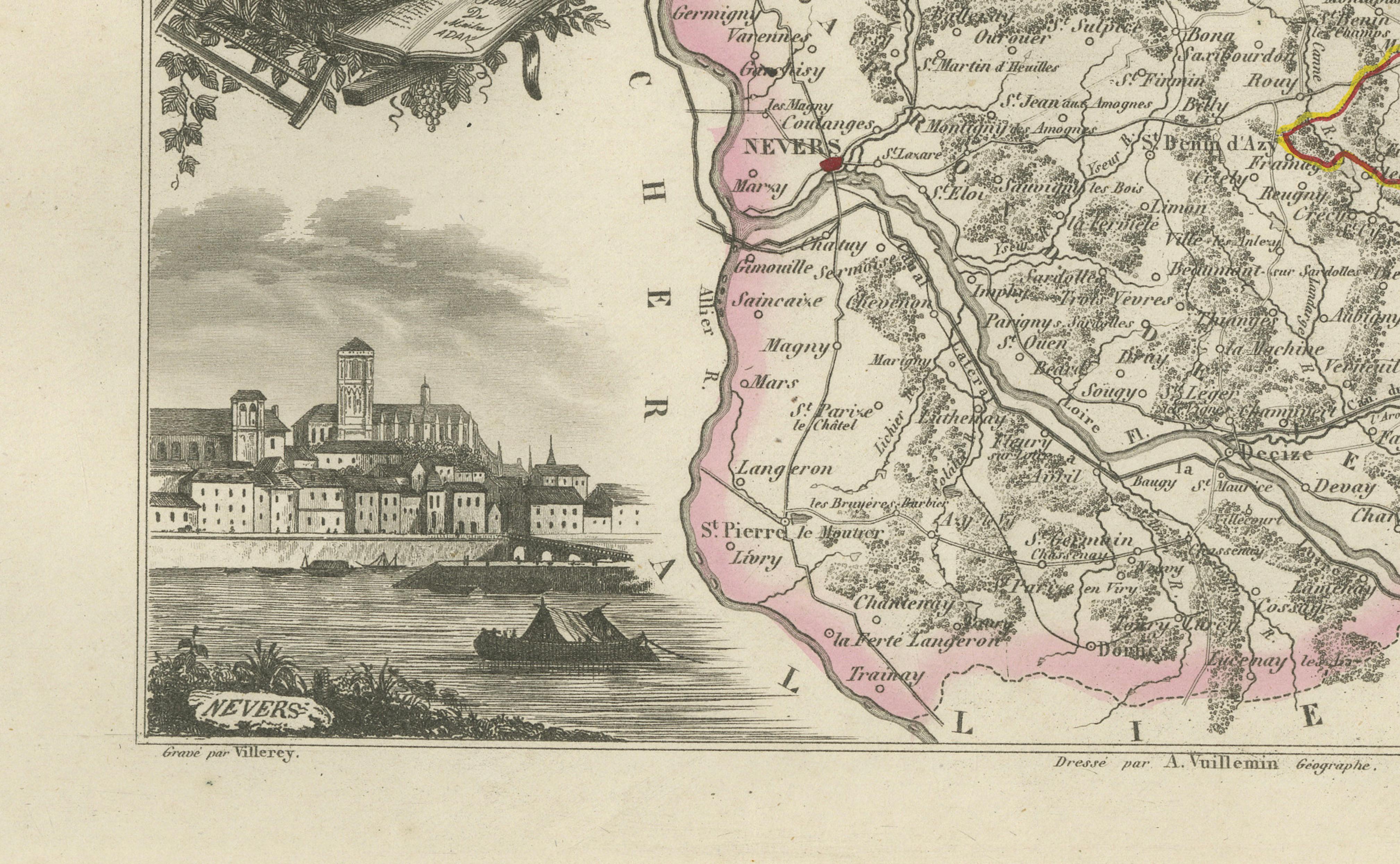
The decorative composition includes the coat of arms of Nièvre, a portrait labelled Adam Billaut de Nevers, a panoramic view of Nevers beside the Loire and an architectural vignette of the Maison d’Adam. Adam Billaut, shown at the left of the map, was a seventeenth-century French author associated with Nevers.
The western part of Nièvre is also closely associated with important Loire Valley wines. Pouilly-Fumé is produced from Sauvignon Blanc, while Pouilly-sur-Loire is made from Chasselas. Both appellations are centred around Pouilly-sur-Loire in the Nièvre department. The Coteaux du Giennois wine region also extends along the Loire towards Cosne-sur-Loire.
An appealing map for collectors of French cartography, Burgundy history, Loire Valley wines, Nevers decorative arts and nineteenth-century engravings.
This is an original antique engraving and not a modern reproduction. It is offered unframed. Any framed images are shown for presentation purposes only.
Technique: Engraving with original hand colouring
Maker: Alexandre Vuillemin
Place of Publication: Paris, France
Date: Circa 1850
Source: La France Illustrée
Department: Nièvre, number 57
Region: Historic Nivernais, Burgundy, France
Condition:
Good antique condition with general age-related toning, light foxing, scattered marks and minor wear around the margins. The original hand-coloured borders remain clearly visible. Wear is consistent with age and use. Please examine the images carefully as they form an important part of the condition description.
Keywords:
Alexandre Vuillemin, antique Nièvre map, Nievre France map, historic Nivernais map, Burgundy antique map, Bourgogne map, Bourgogne-Franche-Comté, Nevers antique map, Nevers wall art, Nevers faience, Clamecy map, Château-Chinon map, Cosne-Cours-sur-Loire, Cosne antique map, La Charité-sur-Loire, Decize map, Pouilly-sur-Loire map, Corbigny map, Varzy map, Guérigny map, Saint-Amand-en-Puisaye, Cercy-la-Tour, Luzy France, Morvan map, Morvan Regional Natural Park, Loire River map, Allier River, Canal du Nivernais, Loire Valley, French departmental map, La France Illustrée, decorative French map, nineteenth-century cartography, antique French engraving, original hand colouring, Adam Billaut, Maison d’Adam, historic Nevers, French architectural vignette, Pouilly-Fumé, Blanc Fumé de Pouilly, Pouilly-sur-Loire wine, Coteaux du Giennois, Loire Valley wine, Burgundy wine, Sauvignon Blanc, Chasselas wine, Pinot Noir, Gamay, French vineyard decor, wine cellar wall art, Francophile gift, French heritage art, library decor, office wall art, collector’s map