About this sheet
Antique Map Paris, SDUK Plan, Linen Backed, Hand Colored c.1855
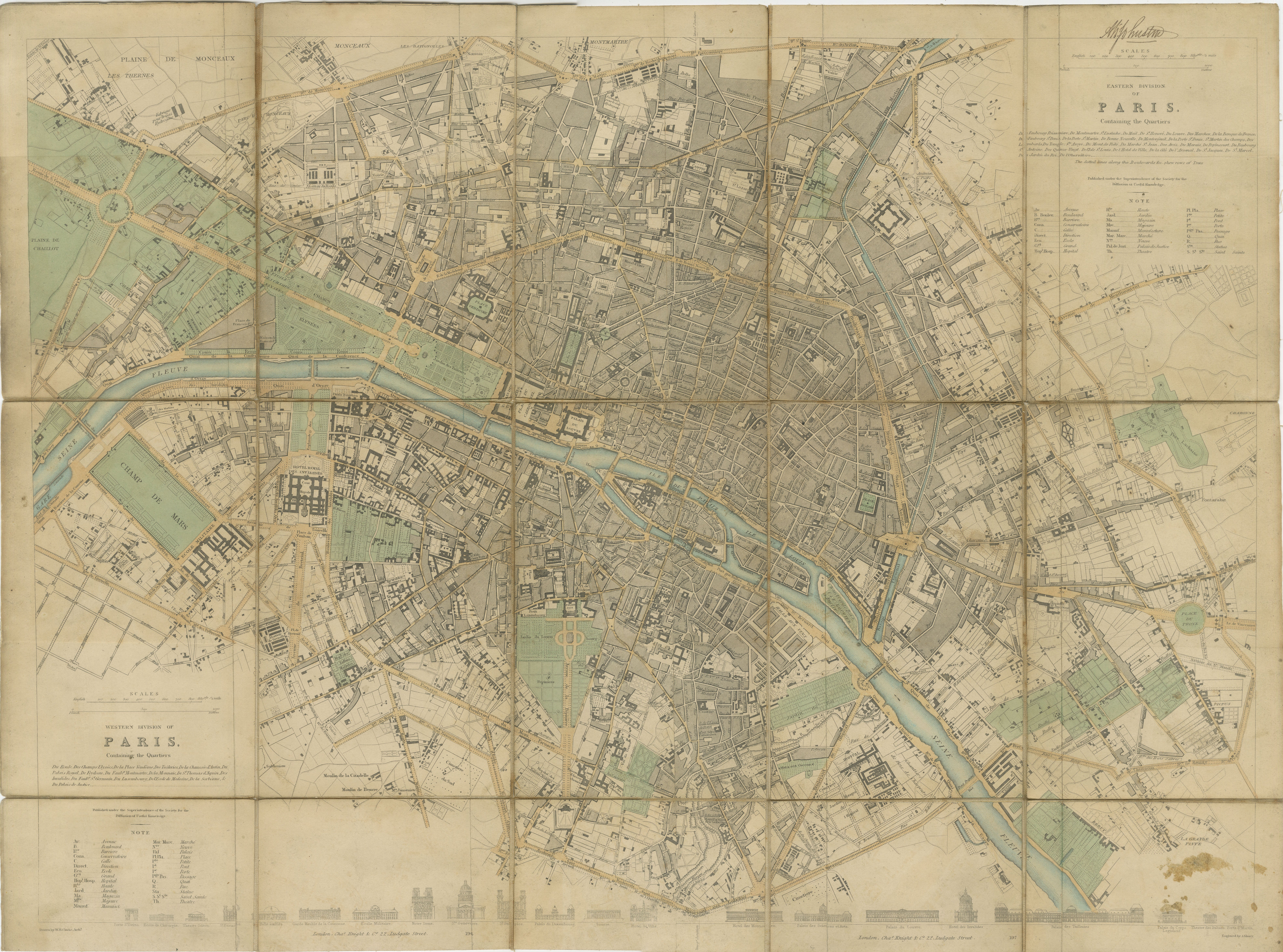
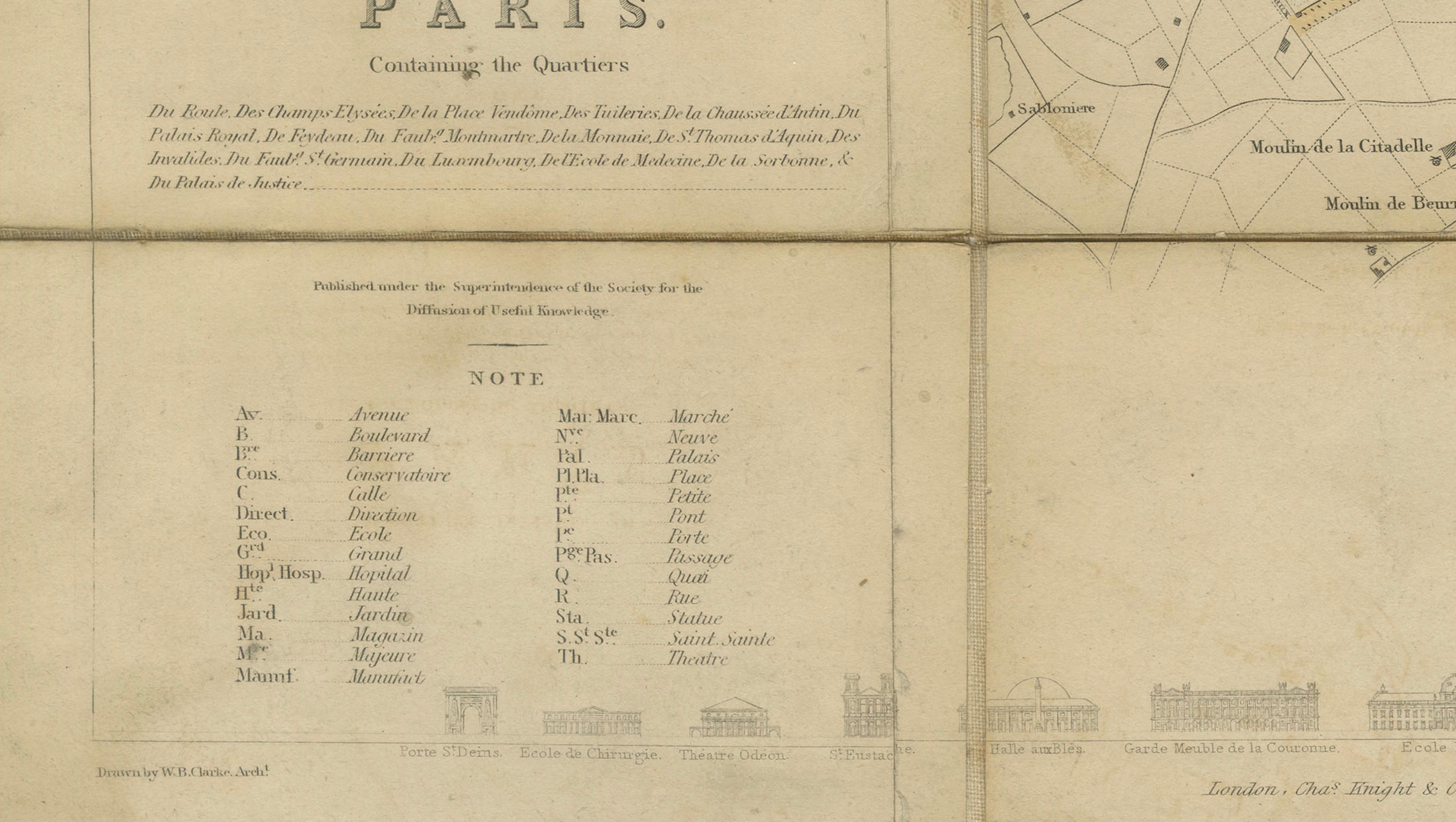
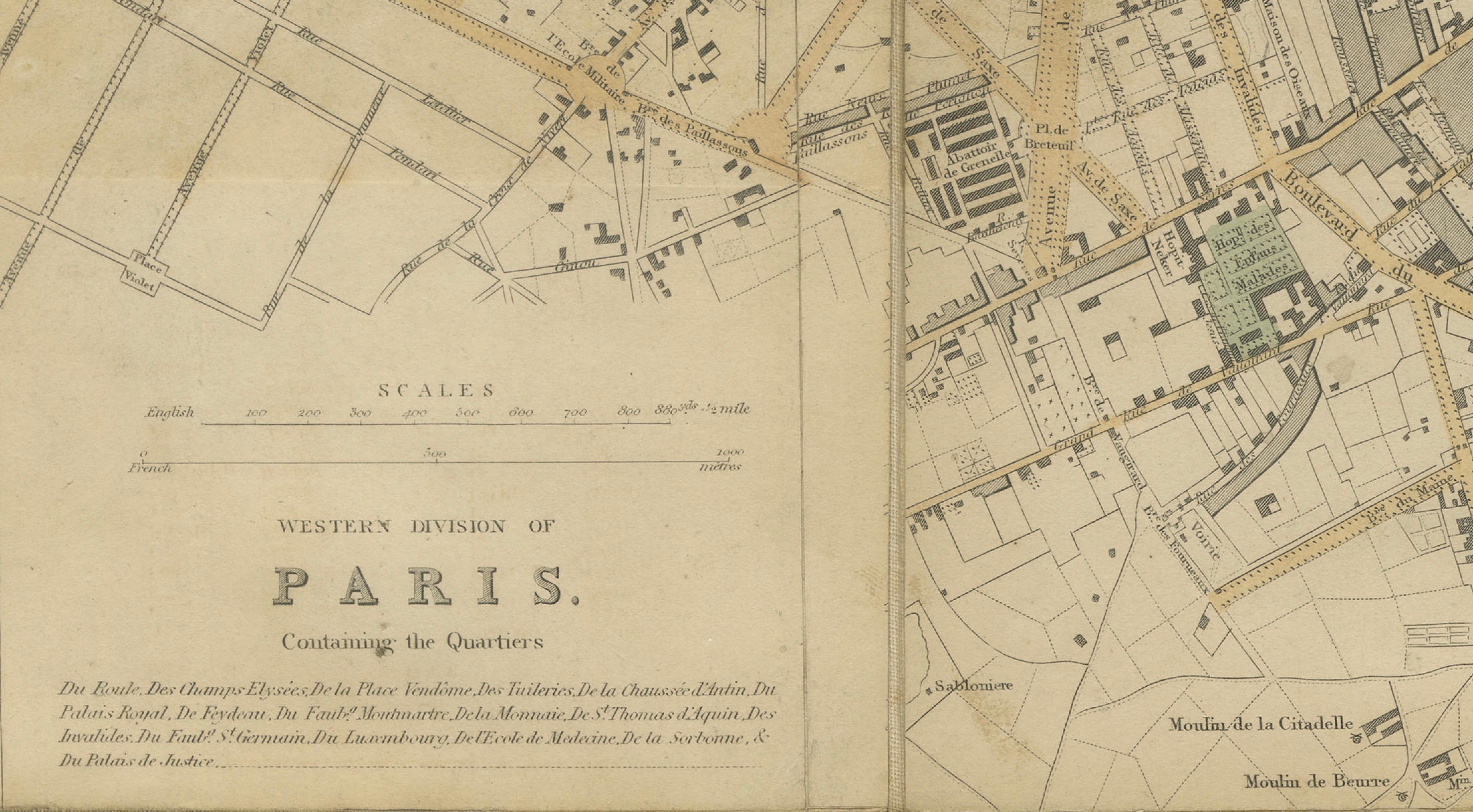
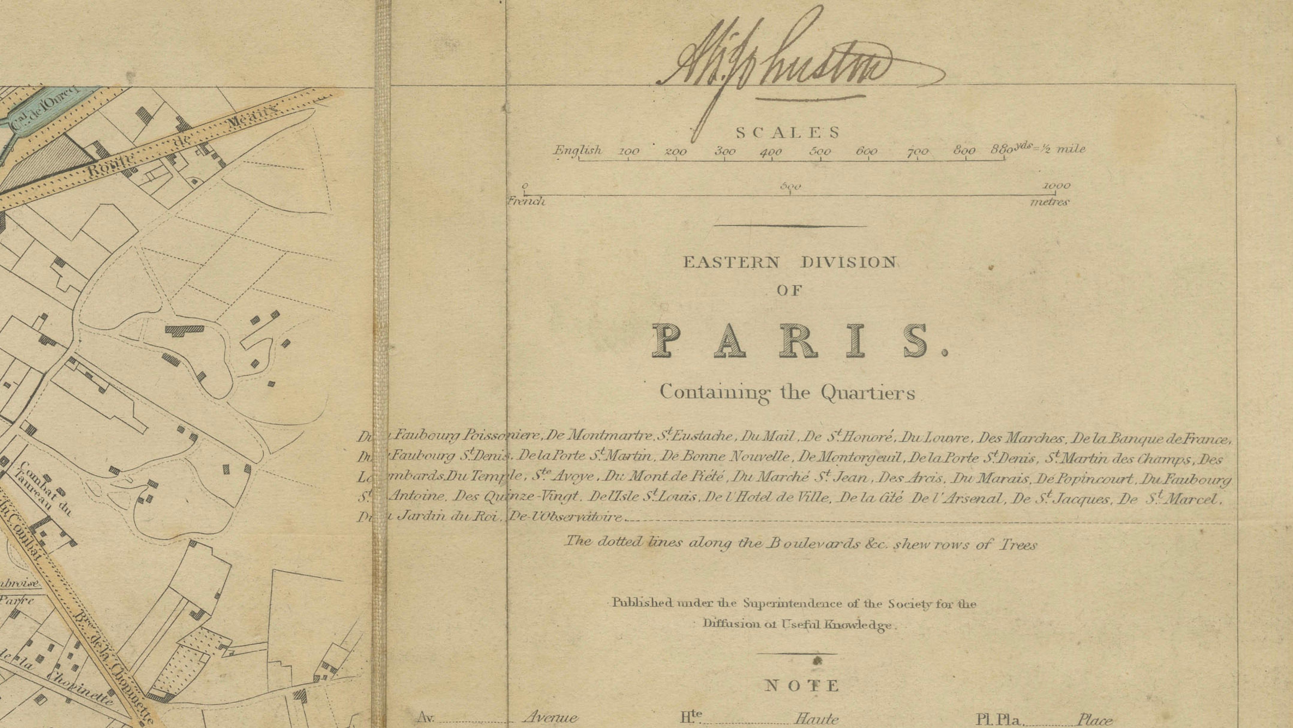
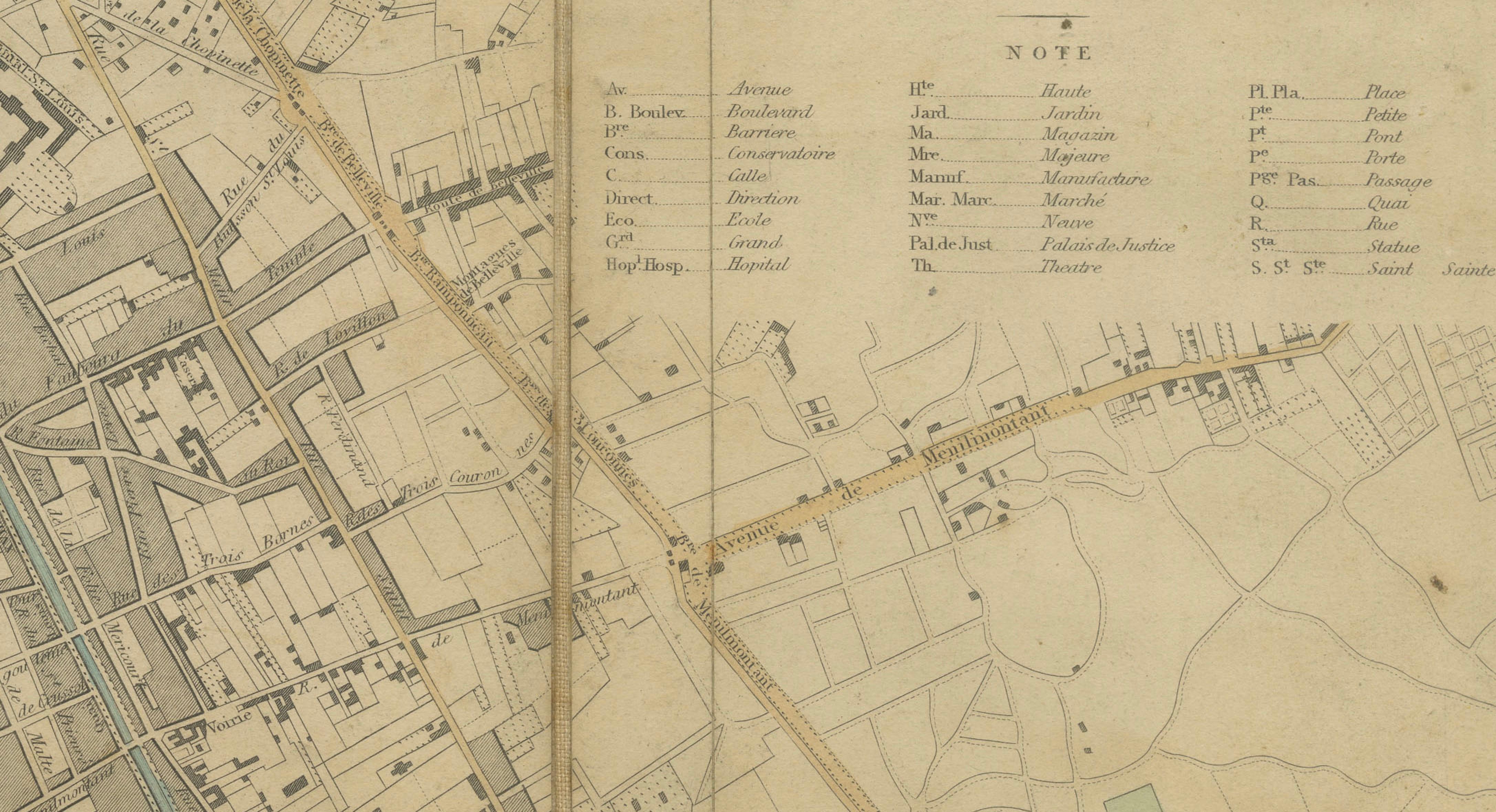
This finely engraved and highly detailed map of Paris was published by the Society for the Diffusion of Useful Knowledge (S.D.U.K.) around 1855, one of the most influential cartographic institutions of 19th-century Britain. Produced during a period of growing demand for accessible geographic knowledge, SDUK maps are renowned for their clarity, precision, and elegant engraving, and this example represents one of the most desirable city plans issued by the society.
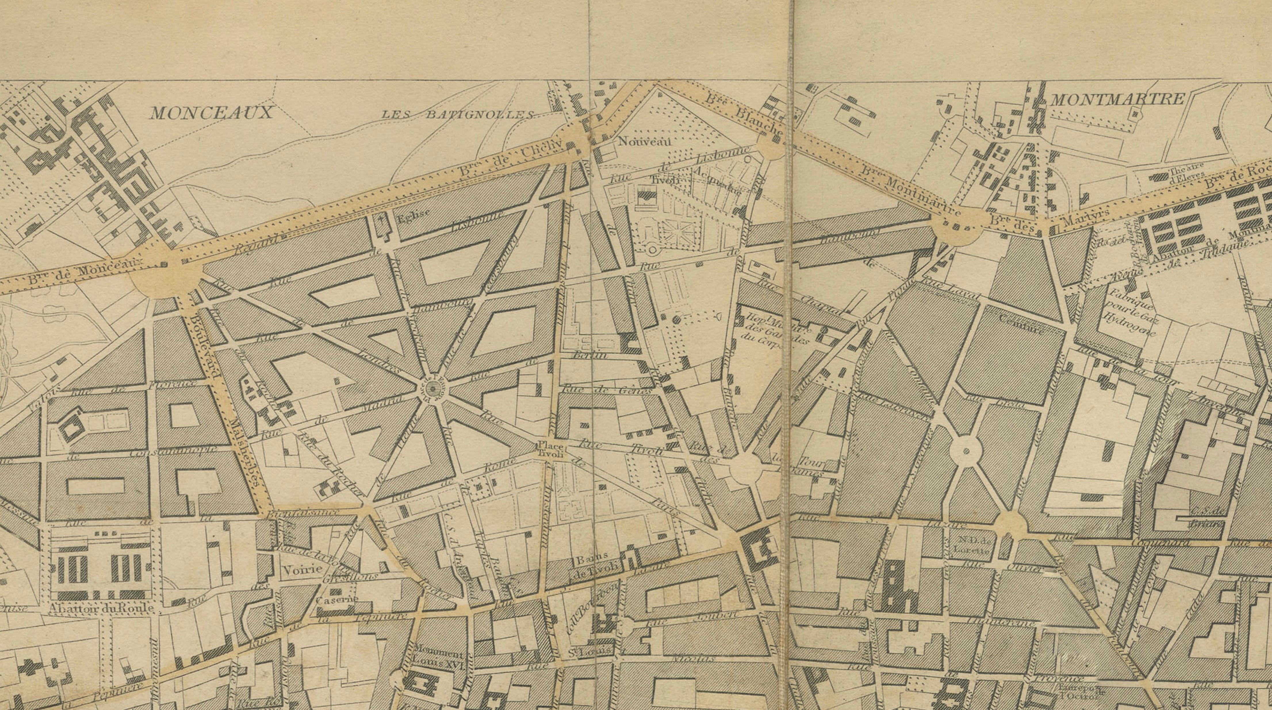
The map presents Paris in two coordinated sections, titled the Eastern Division and Western Division, together forming a complete and highly legible overview of the city at a pivotal moment in its history. Issued just prior to the sweeping urban redesigns of Baron Haussmann, the plan captures the city in its earlier configuration, preserving a dense network of historic streets, quartiers, and landmarks that would soon be transformed.
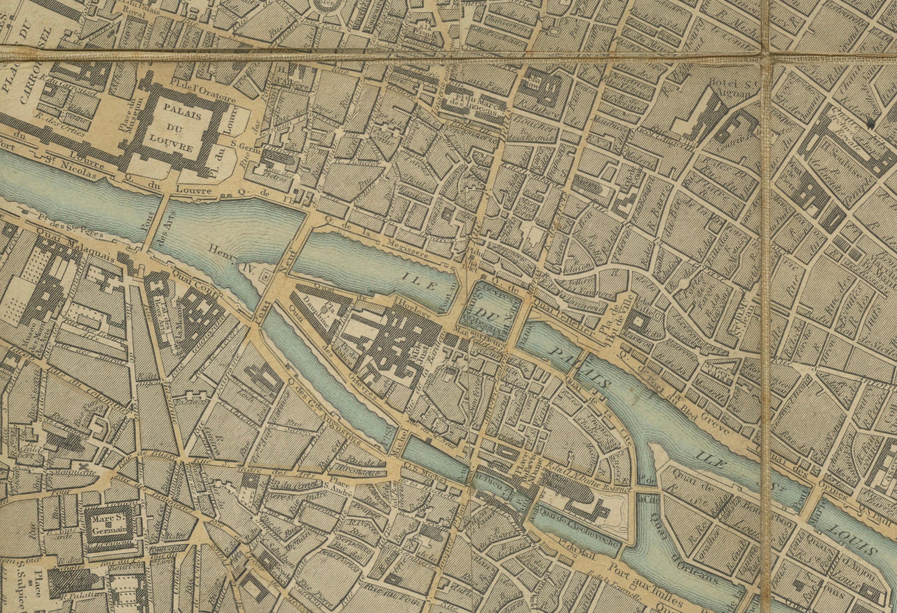
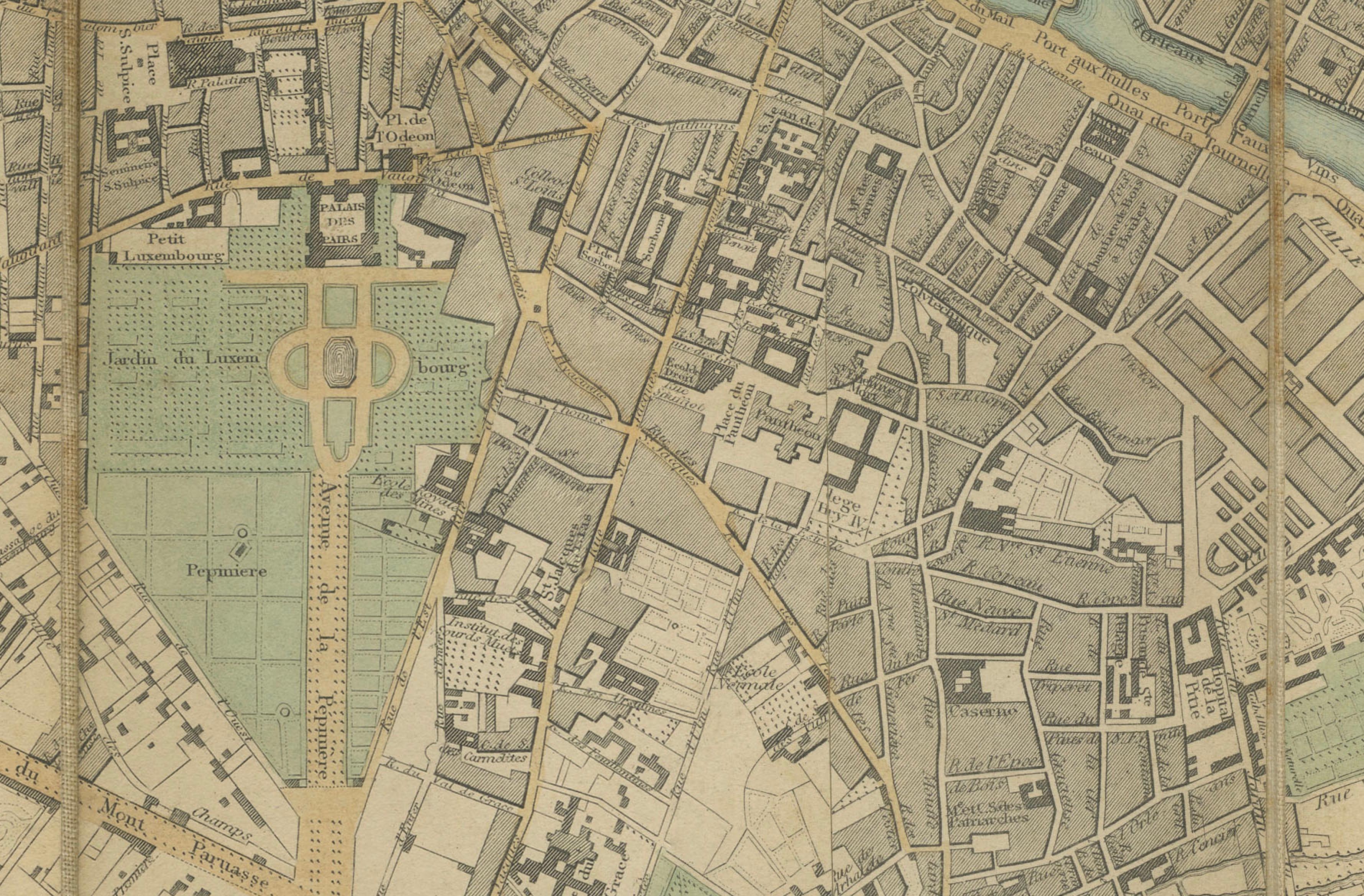
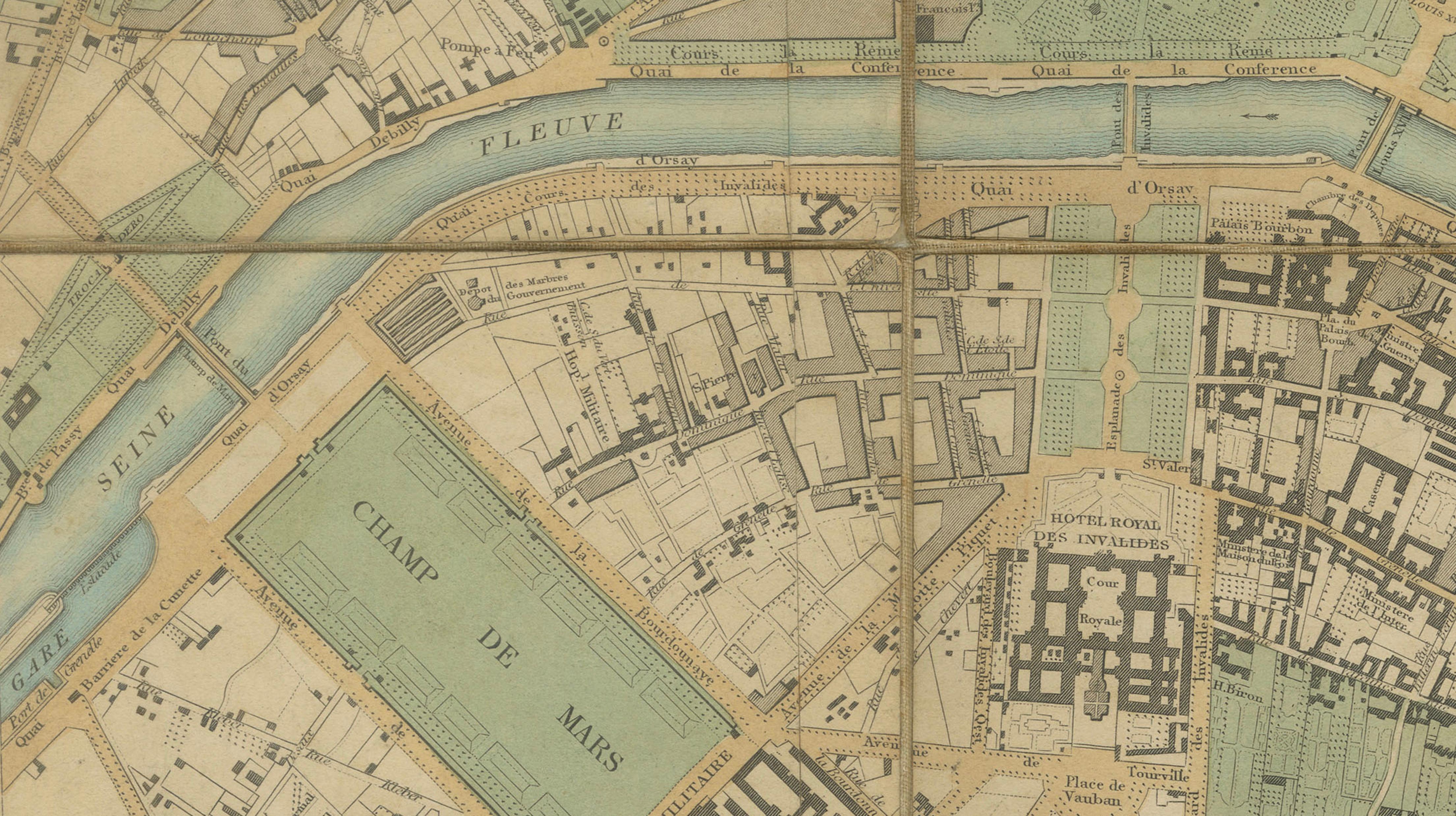
The Seine flows prominently through the composition, highlighted in original outline hand-coloring, dividing the city into its characteristic left and right banks. Major sites such as the Louvre, the Tuileries, the Luxembourg Gardens, and the Champs de Mars are clearly delineated, while an intricate web of streets and neighborhoods conveys the complexity and vibrancy of mid-19th-century Paris. The balance between refined engraving and functional clarity makes this map both visually attractive and historically significant.
As issued, the map is sectionalised and laid on linen, allowing it to be folded for portability while maintaining durability. This original format enhances both its authenticity and its tactile appeal as a period object. The subtle hand-coloring adds visual depth without overwhelming the composition, making it particularly suitable for display in both classic and contemporary interiors.
Maps of Paris from this transitional period are increasingly sought after, particularly complete examples that retain their original linen backing and coloring. This piece offers a compelling combination of historical importance and decorative elegance, ideal for collectors, designers, or anyone with an appreciation for Paris and its urban history.
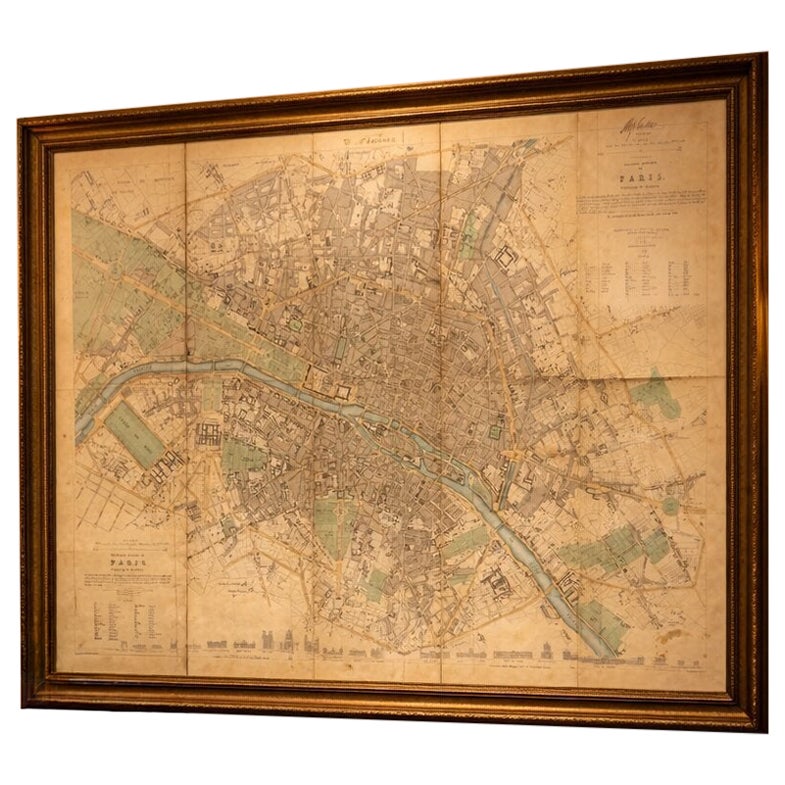
This is an original antique engraving, printed in the 19th century. It is not a modern reproduction. Any images showing the map framed are for visual inspiration only. The map is supplied unframed. Contained in a modern green cloth slipcase.
Condition: Good condition with light age-related toning, some staining and handling marks consistent with use. There is visible foxing or similar discoloration in the lower right area. Sectionalised and linen-backed as issued. A near-contemporary manuscript ownership inscription is present in the upper margin. Overall a well-preserved and attractive example.
Framing tips: This map displays beautifully in a dark walnut or ebonized wood frame with a wide warm ivory museum mat, enhancing the subtle tones of the paper and coloring. A double mat with a fine inner line can add depth and a more luxurious presentation. For a brighter interior, a light oak frame with an off-white mat offers a clean and elegant alternative while maintaining a refined look.
Keywords: Paris, Seine River, Louvre, Tuileries Gardens, Palais Royal, Luxembourg Gardens, Jardin du Luxembourg, Champs de Mars, Invalides, Hôtel des Invalides, Sorbonne, Latin Quarter, Île de la Cité, Notre Dame, Marais, Montmartre, Faubourg Saint-Germain, Faubourg Saint-Honoré, Place Vendôme, Boulevard Saint-Germain, Palais de Justice, Panthéon, École de Médecine, Jardin des Plantes, Bastille, Hôtel de Ville, Pont Neuf, Pont Royal, Quai d’Orsay, Avenue des Champs-Élysées, Arc de Triomphe (area), Paris quarters map
Technique: Engraving with original hand-coloring
Maker: Society for the Diffusion of Useful Knowledge (S.D.U.K.), London, circa 1855