About this sheet
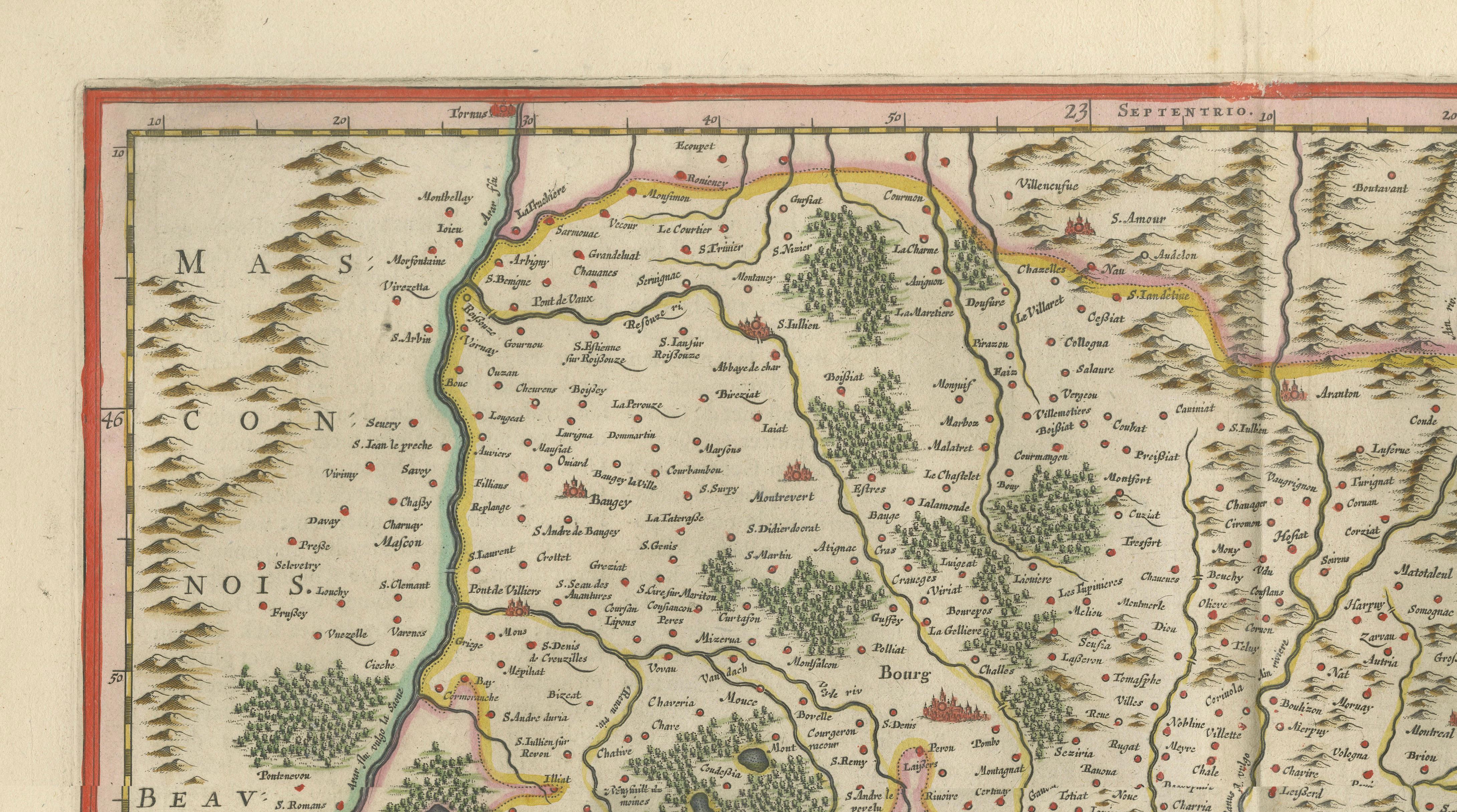
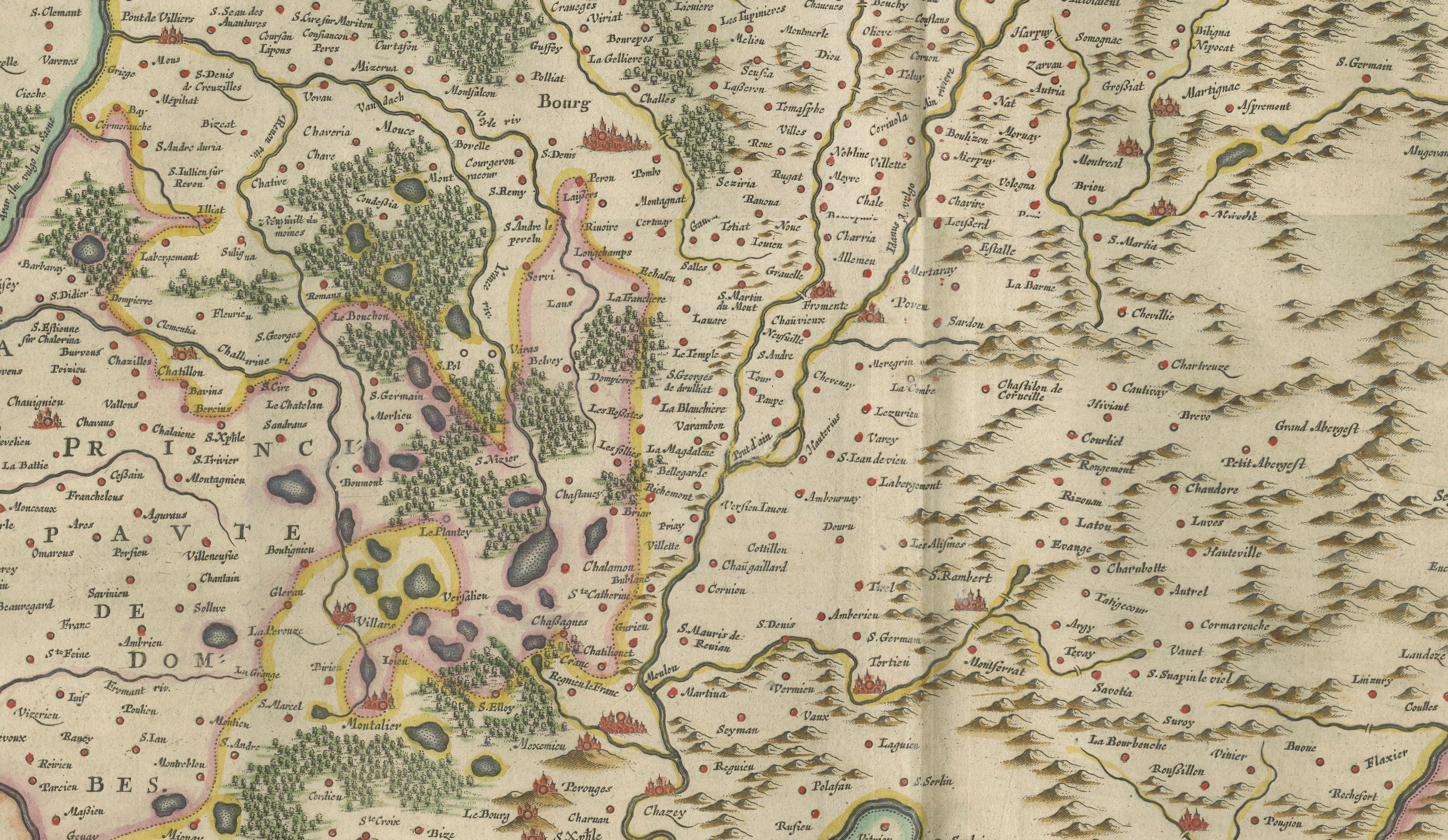
Antique Blaeu Map of Bresse & Dombes, Eastern France – Hand-Colored c.1642
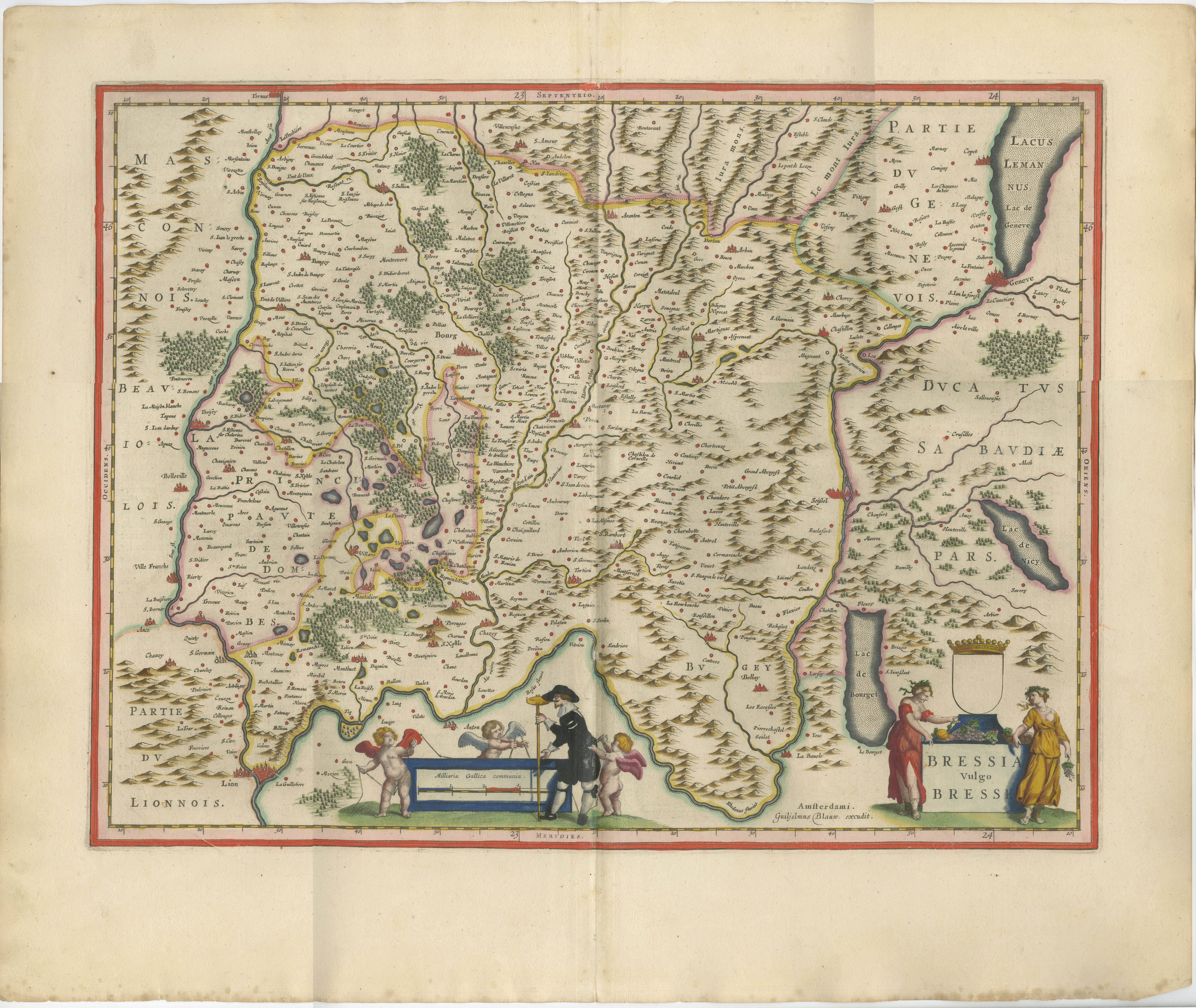
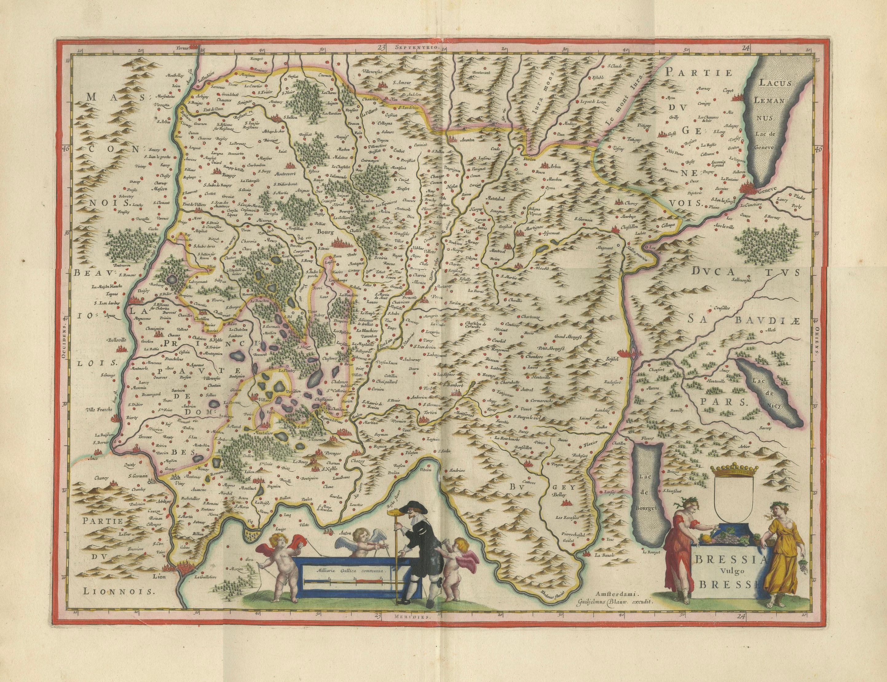
This attractive and finely engraved map depicts the historic province of Bresse (Bressia Vulgo Bresse) and the neighboring region of Dombes in eastern France, close to Lyon, Burgundy, Savoy, and Lake Geneva. Created by the renowned Dutch cartographer Willem Janszoon Blaeu and published in Amsterdam around 1642, the map originates from Blaeu's celebrated atlas series, among the most admired cartographic works of the Dutch Golden Age.
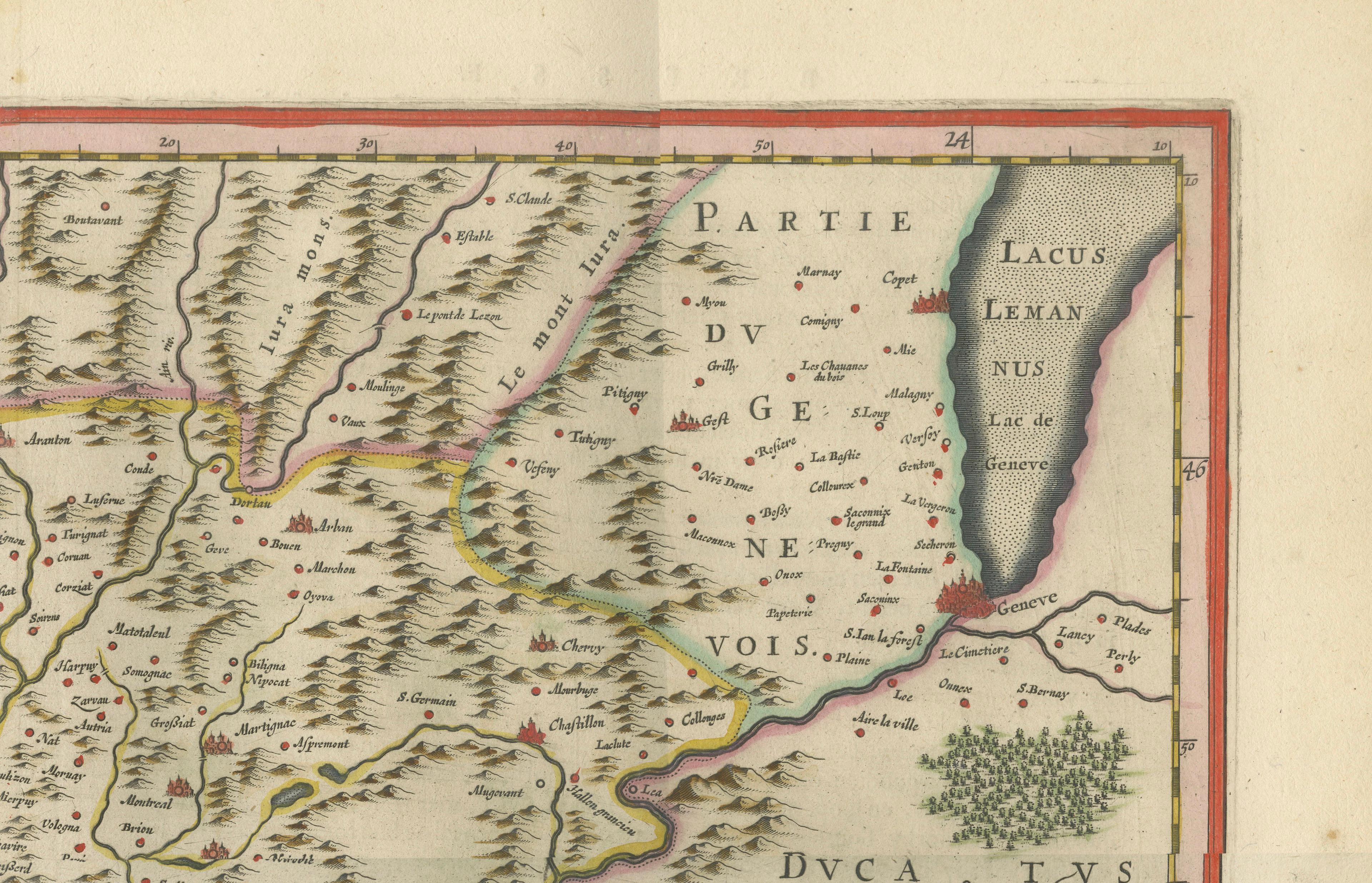
The map presents the region in remarkable detail, illustrating hundreds of towns and villages, extensive forests, mountain ranges, rivers, lakes, and political boundaries. Particularly striking are the many lakes and marshes of Dombes, depicted with beautiful contemporary hand coloring. To the east, the map extends toward the Duchy of Savoy and the shores of Lake Geneva (Lacus Lemanus), while the Rhône and Saône river systems provide important geographic reference points. Major settlements including Bourg, Belleville, Trévoux, Lyon, Geneva, and numerous smaller communities are carefully engraved throughout the composition.
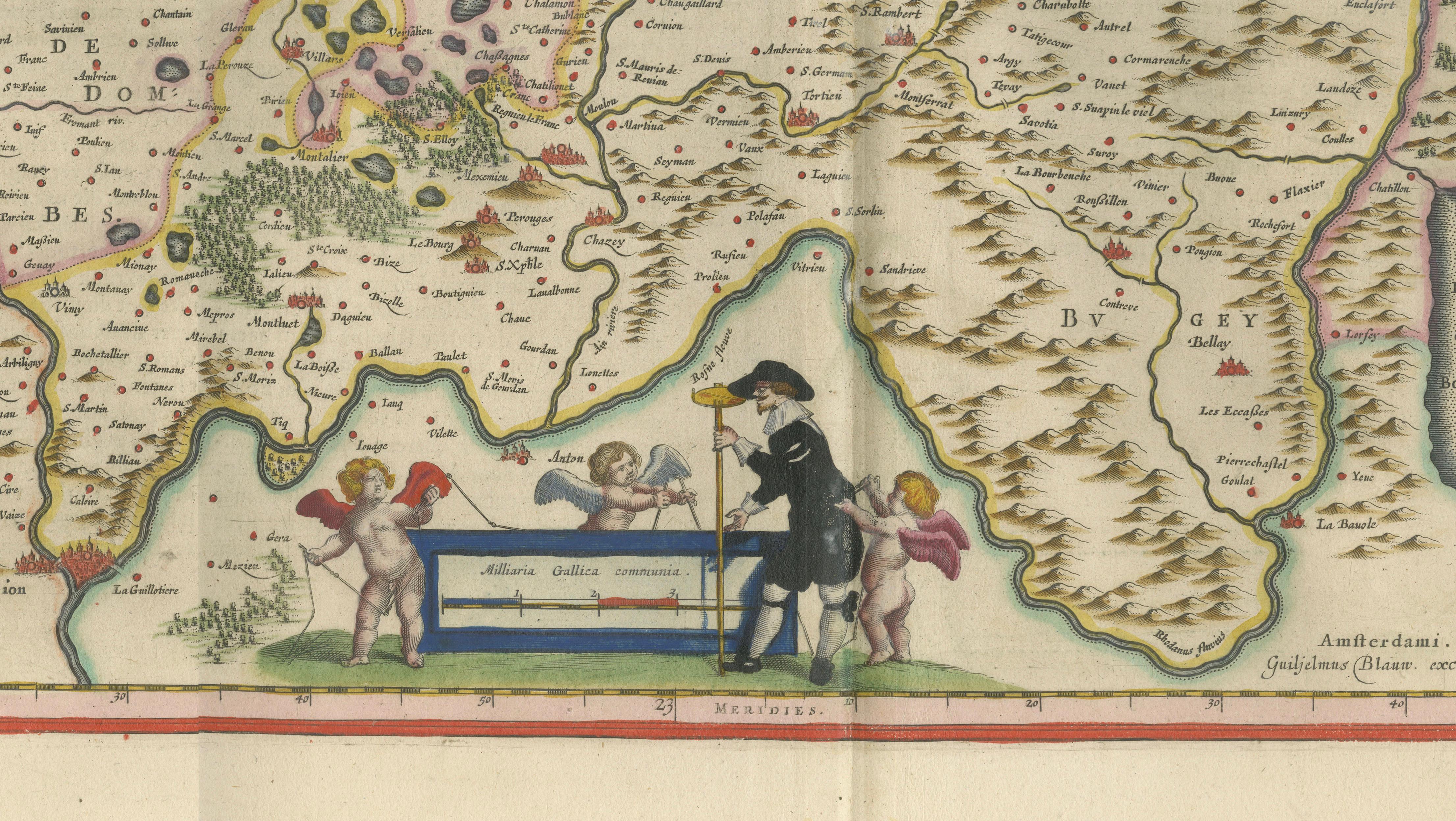
Blaeu's decorative artistry is evident in the elegant cartouches and ornamental figures. The lower right corner features an elaborate armorial cartouche supported by finely dressed allegorical figures, while the scale cartouche is adorned with putti and a surveyor, symbolizing the scientific precision that characterized Dutch cartography during the seventeenth century. These decorative elements elevate the map beyond a geographic document, making it equally appealing as a work of art.
Willem Janszoon Blaeu (1571–1638) established one of the most influential publishing houses of the seventeenth century. His atlases were renowned for their accuracy, engraving quality, and decorative beauty. Following his death, the Blaeu firm continued under his sons and became the leading cartographic publisher of Europe. Maps from the Blaeu atlases remain among the most desirable examples of early Dutch mapmaking.
Today, original Blaeu maps are highly sought after by collectors, historians, and interior designers. This example combines detailed geography, attractive hand color, and refined decorative engraving, making it an excellent addition to a collection of French regional maps, Dutch Golden Age cartography, or seventeenth-century decorative works on paper.
Condition report: Original centerfold as issued. Light age-related toning and occasional minor spotting consistent with age. Attractive hand color. Wide margins. Please study the image carefully for a detailed impression of the condition.
Framing tips: This map displays beautifully in a dark walnut, ebonized, or museum-black frame with a wide ivory or parchment-colored mat. A subtle gilt liner can enhance the original hand coloring and decorative cartouches while maintaining an elegant museum-quality presentation.
Technique: Copperplate engraving
Maker: Willem Janszoon Blaeu, Amsterdam, c.1642
This example is an original 17th-century copperplate engraving. It is not a modern reproduction. Any images showing the print framed are for visual inspiration only. The map is supplied unframed.
Keywords: Bresse, Dombes, Bressia Vulgo Bresse, Bourg-en-Bresse, Bourg, Dombes, Trévoux, Lyon, Lyonnais, Beaujolais, Savoy, Savoie, Duchy of Savoy, Geneva, Genève, Lake Geneva, Lac Léman, Lacus Lemanus, Rhône River, Saône River, Belleville, Burgundy, Bourgogne, Eastern France, French provinces, Willem Blaeu, Blaeu Atlas, Dutch Golden Age cartography, antique map, 17th-century map, hand-colored map, regional map of France.