About this sheet
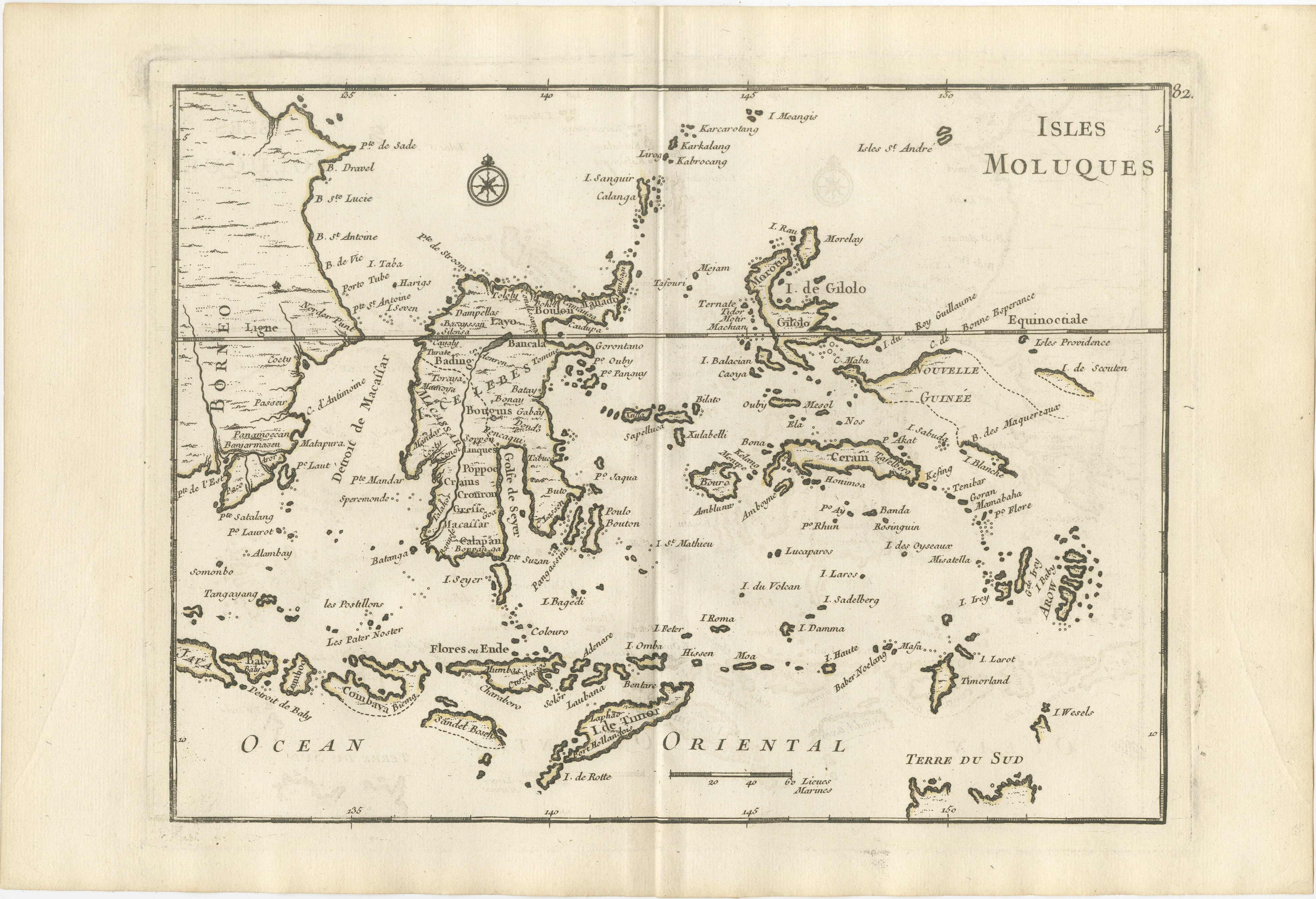
Antique Map of the Moluccas & Celebes, Le Rouge, French Engraving c.1750
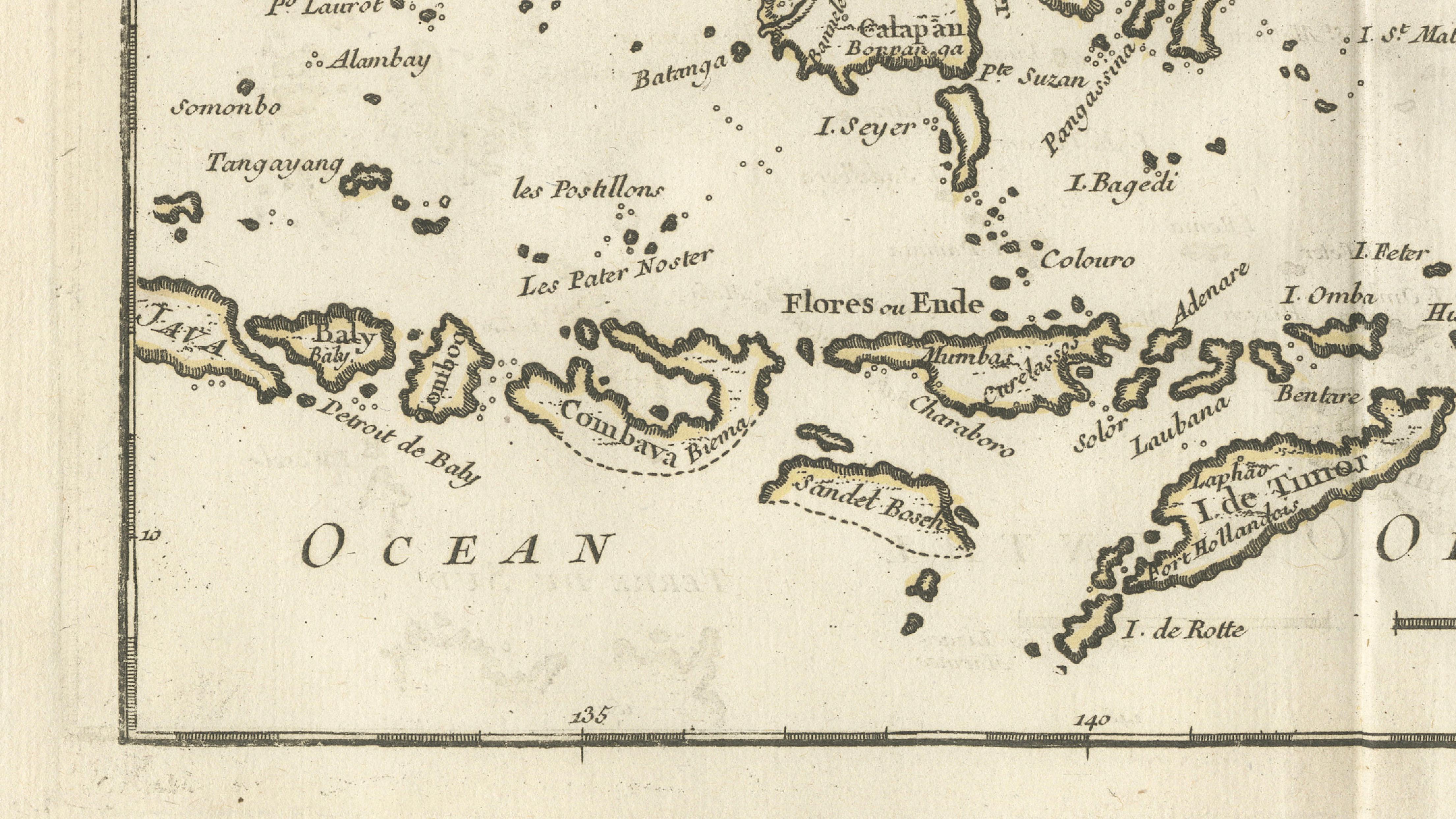
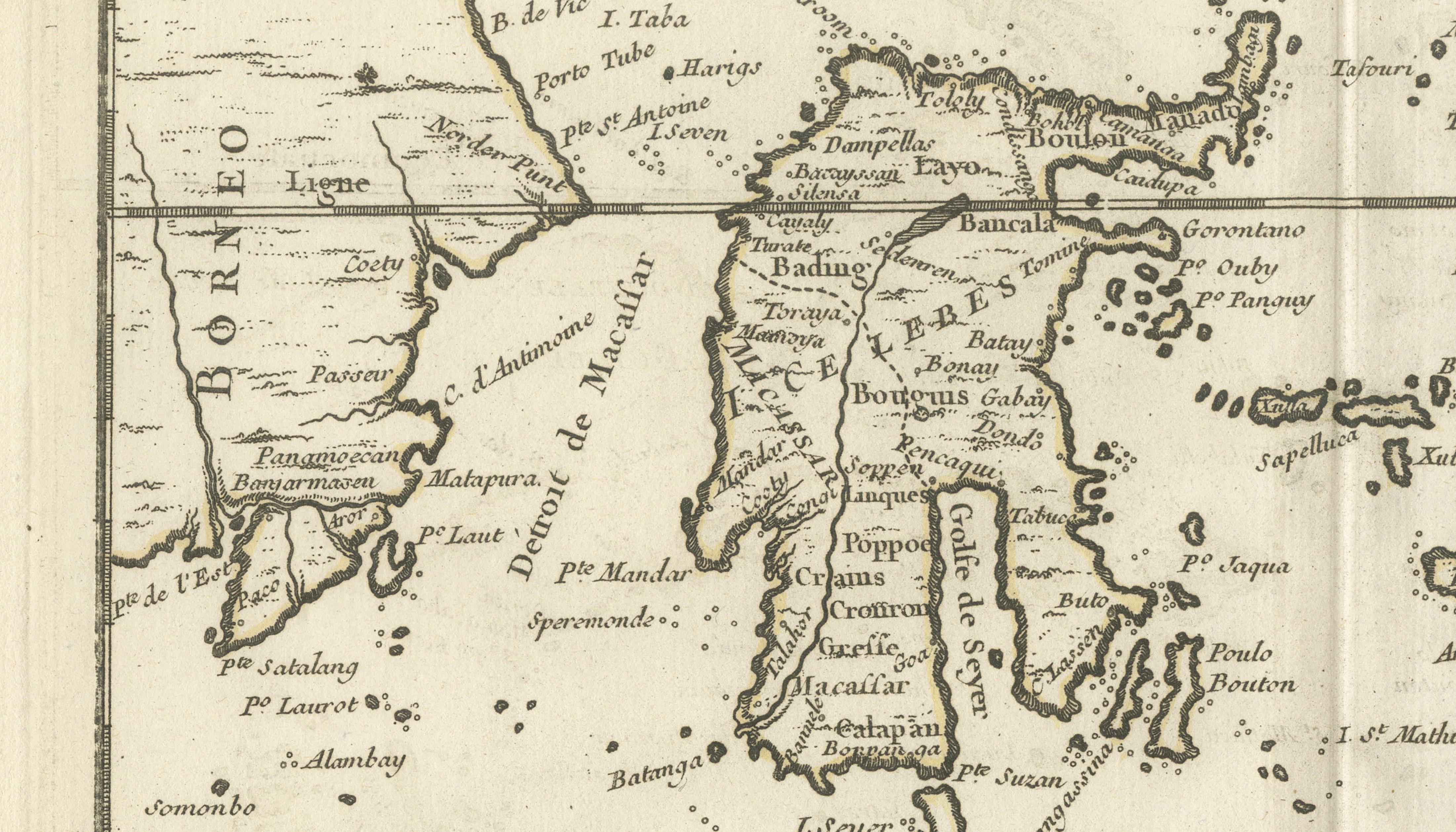
This attractive eighteenth-century map titled Isles Moluques depicts the legendary Spice Islands of Southeast Asia, including the Moluccas (Maluku), Celebes (Sulawesi), Timor, Flores, Ceram, Gilolo (Halmahera), Banda, and numerous surrounding islands. Published by the distinguished French cartographer Georges-Louis Le Rouge around 1746–1759, the map reflects European geographical knowledge of the Indonesian archipelago during the height of the global spice trade.
The Moluccas occupied a central position in world commerce for centuries as the only known source of cloves, nutmeg, and mace. These highly valuable commodities attracted Portuguese, Spanish, Dutch, English, and French interest, transforming the islands into one of the most strategically important regions of the early modern world. Le Rouge's map captures this complex maritime landscape with remarkable clarity, showing countless islands, bays, straits, and trading routes that connected the archipelago to the wider Asian trading network.
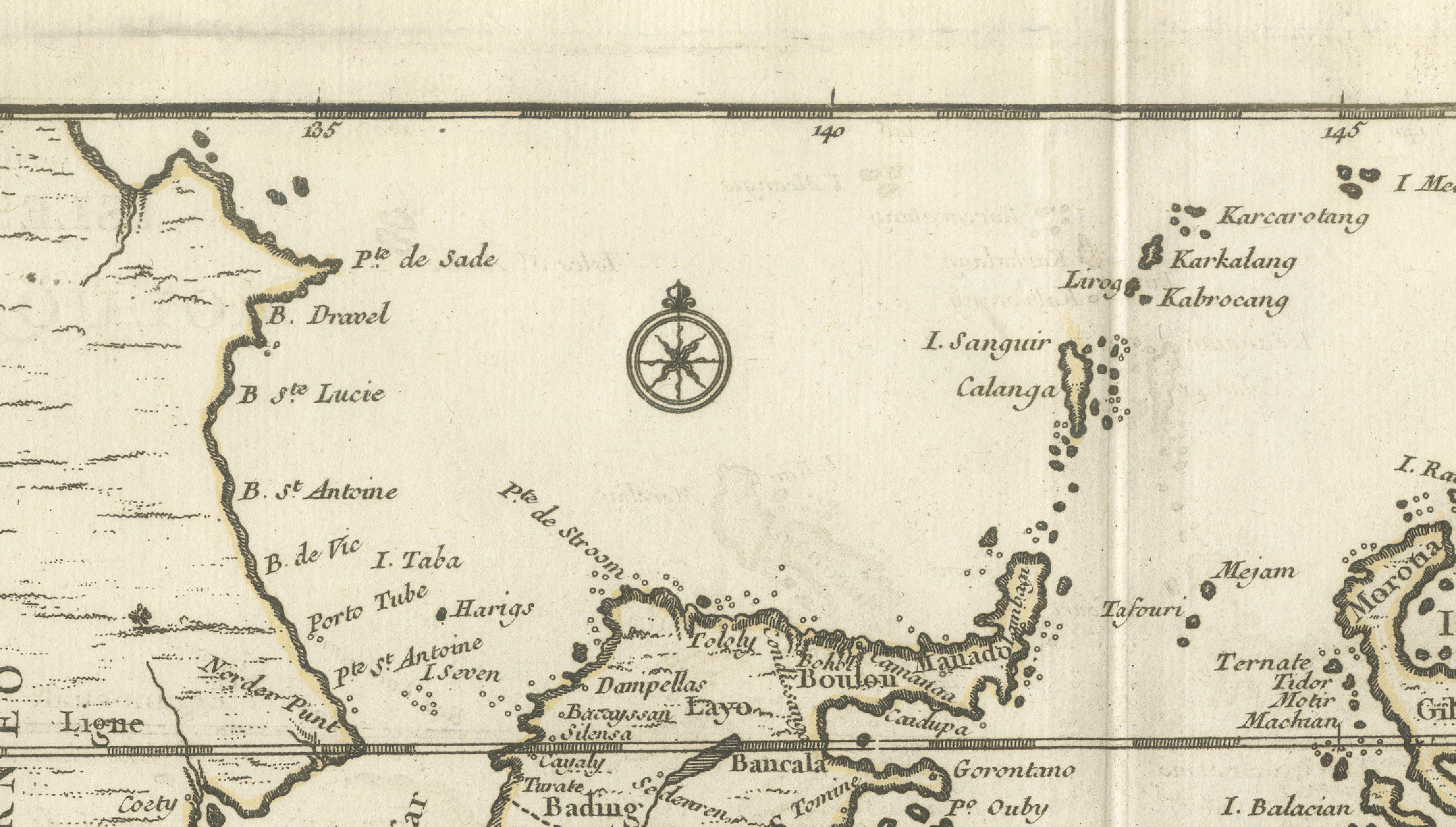
Particularly striking is the elegant depiction of Sulawesi (Celebes), whose distinctive branching coastline dominates the western portion of the map. The islands of Banda, famous for their nutmeg plantations, are clearly identified, while the Moluccan islands of Ternate, Tidore, Ceram, and Gilolo are prominently shown. Decorative elements are restrained yet effective, including a finely engraved compass rose and elegant eighteenth-century French typography.
Georges-Louis Le Rouge (c.1712–1790) was one of the most influential French map publishers of the eighteenth century. His works are admired for their combination of geographical accuracy, elegant engraving, and historical importance. Maps of the East Indies and Spice Islands remain especially desirable due to their connection with the VOC, European exploration, and the lucrative spice trade that helped shape global history.
This is an original antique copperplate engraving printed in the eighteenth century. It is not a modern reproduction.
Condition report:
Good condition for age. Original centerfold as issued. Light age toning and occasional faint spotting consistent with eighteenth-century paper. The engraving remains clear and attractive with strong impressions. Please examine the photographs carefully.
Framing tips:
This map displays beautifully in a dark walnut, ebonized, or museum-black frame with a warm ivory mat. A thin gilt liner can subtly highlight the engraving while maintaining a refined historical appearance. Particularly suitable for studies, libraries, maritime interiors, or collections focused on Indonesia and the Dutch East Indies.
Technique: Copperplate engraving
Maker: Georges-Louis Le Rouge, Paris, circa 1746–1759