About this sheet
Roman Britain Map, Britannia Romana, Ancient England Wales Wilkinson 1817
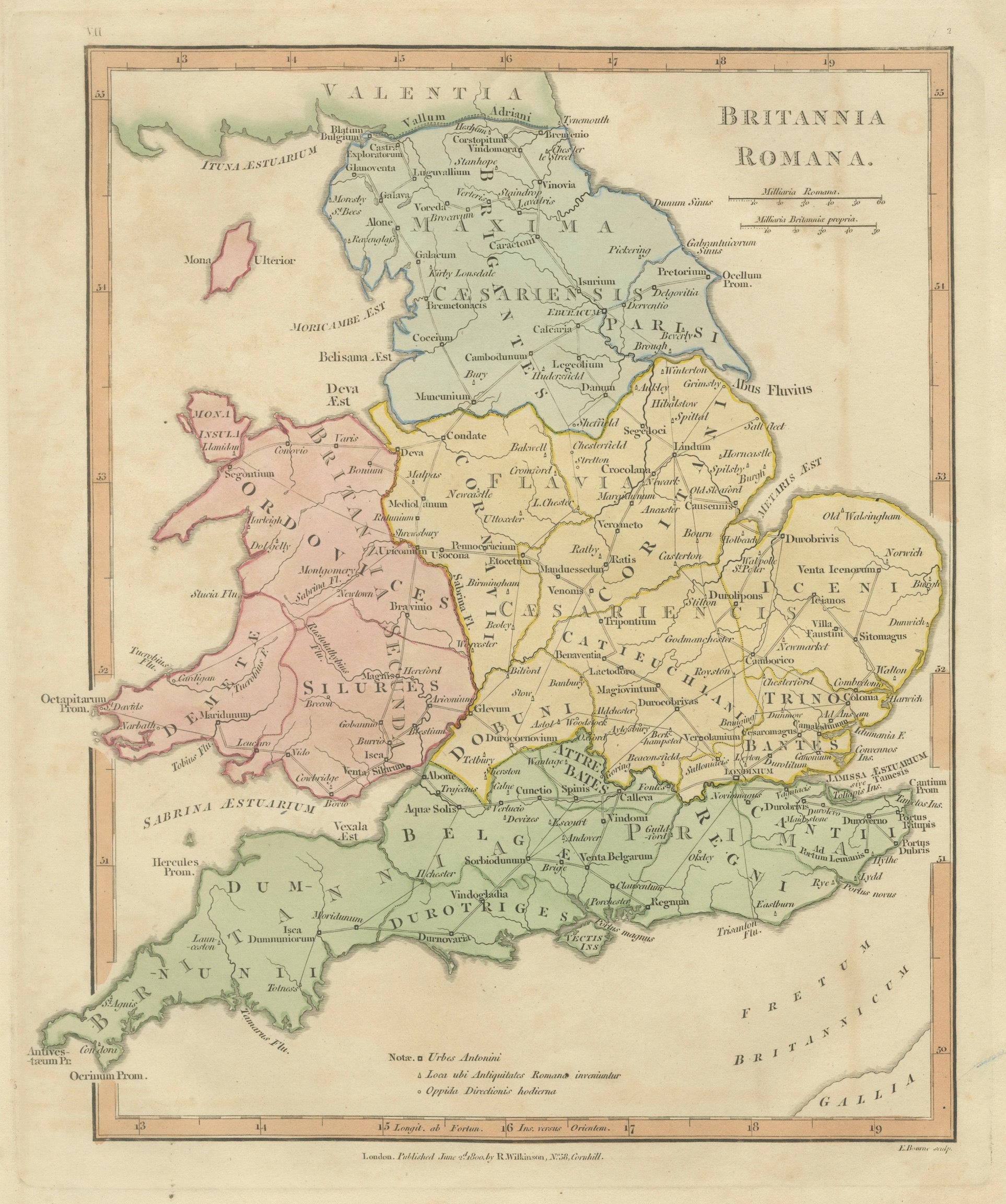
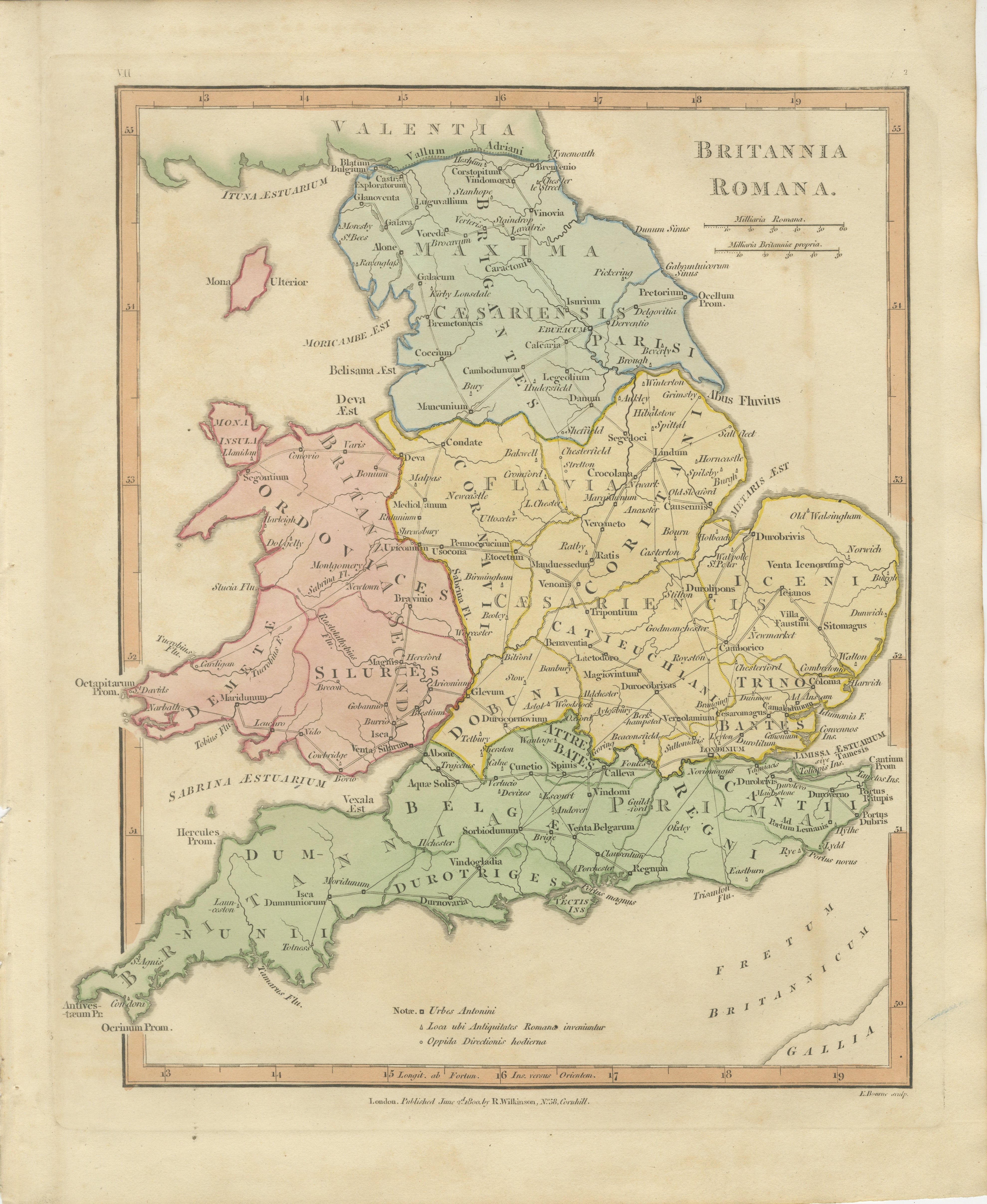
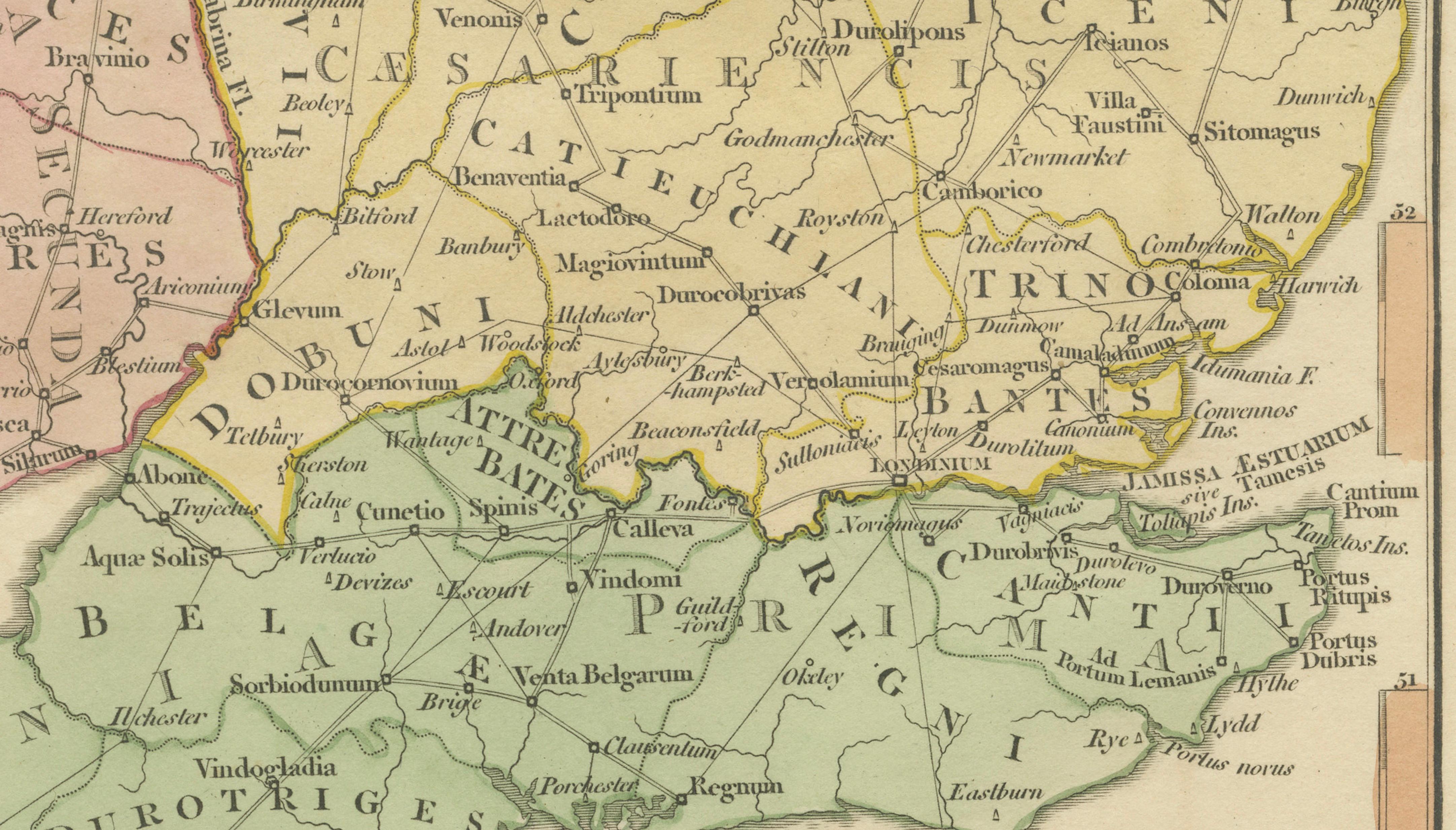
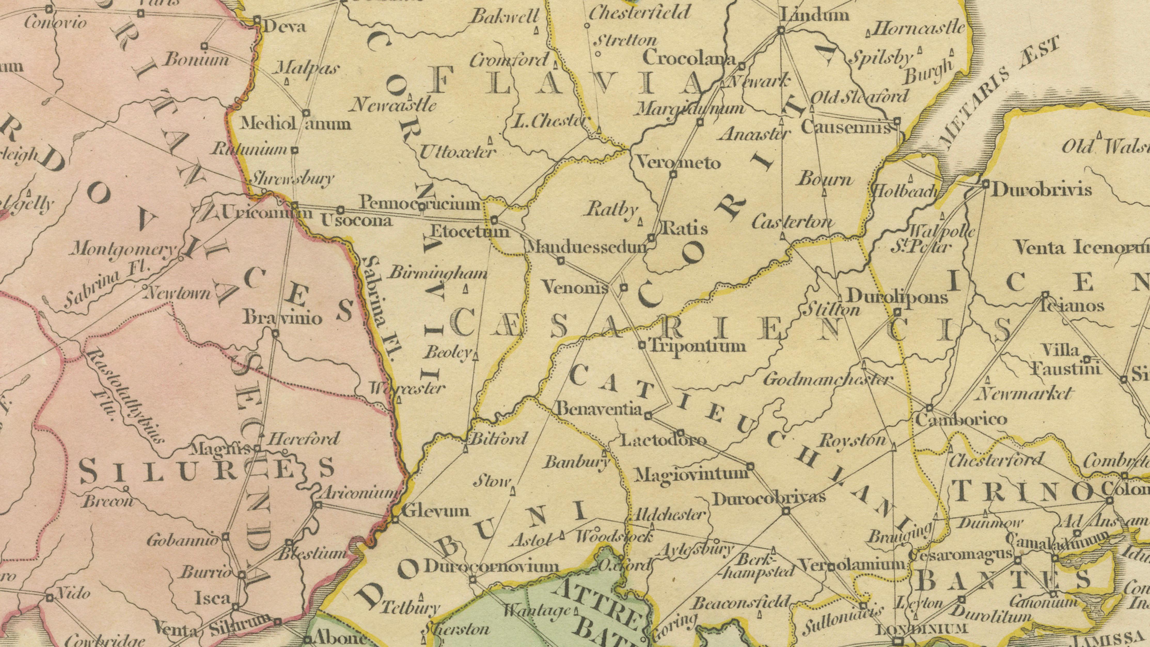
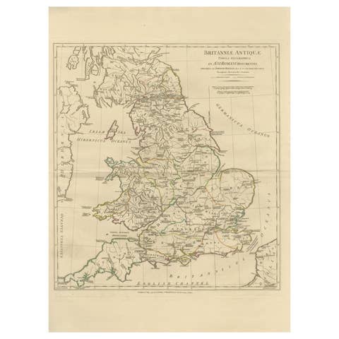
This finely engraved and delicately hand-colored map depicts Roman Britain, offering a detailed view of the provinces, tribes, and settlements that formed the northern frontier of the Roman Empire. Published in London in 1817 by Robert Wilkinson as part of his renowned Atlas Classica, the map was created to accompany the study of classical history and to illustrate the geography described by ancient Roman sources.
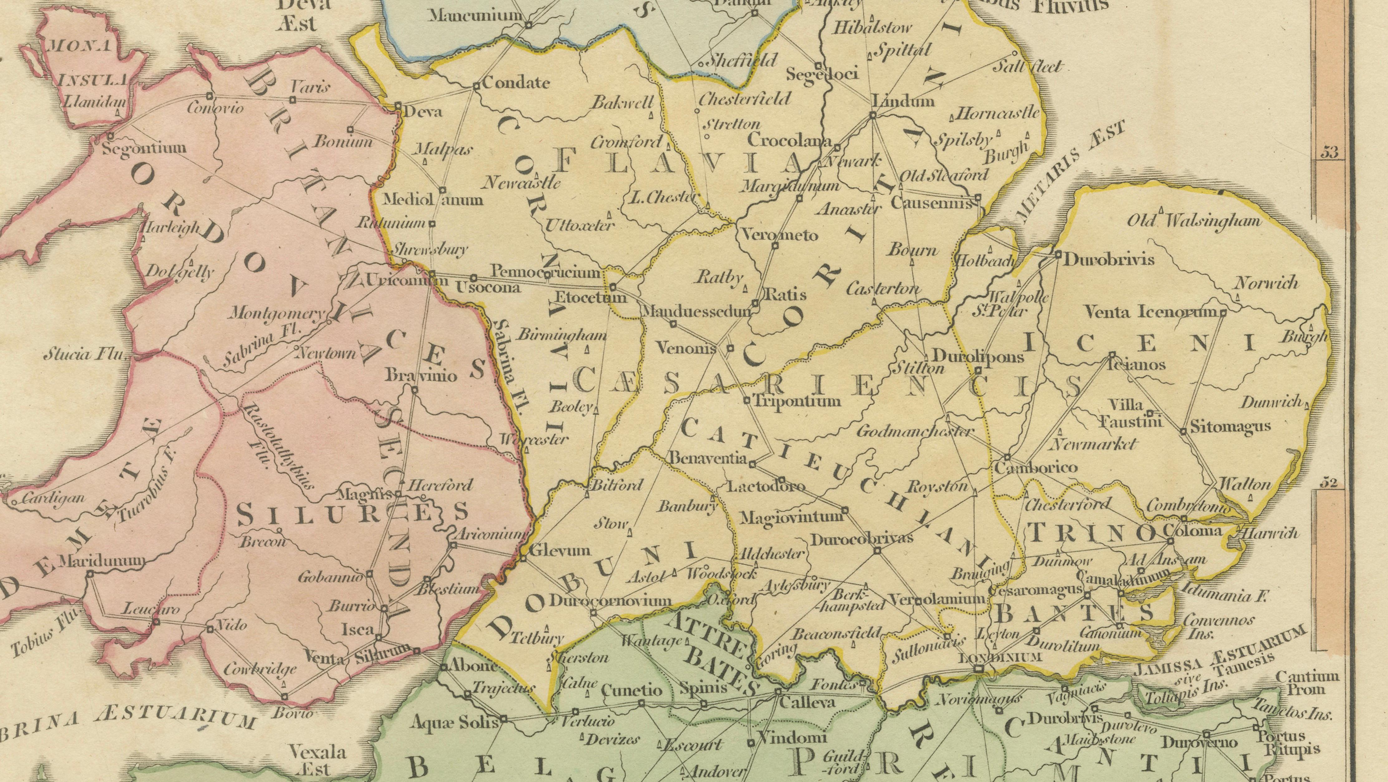
Titled Britannia Romana, the map presents England and Wales divided into Roman administrative regions and tribal territories, each carefully outlined and enhanced with subtle original hand coloring. Prominent regions such as Brigantes, Iceni, Trinovantes, Silures, and Dumnonii are clearly identified, providing insight into the complex political landscape encountered by Roman forces following the invasion of AD 43.
The map is richly detailed with Roman towns, roads, rivers, and fortifications. Important sites such as Londinium (London), Eboracum (York), Verulamium (St Albans), and Camulodunum (Colchester) are prominently marked, illustrating the network of urban centers that supported Roman administration and trade. Hadrian’s Wall (*Vallum Adriani*) is clearly shown across the north, emphasizing the defensive boundary between Roman Britannia and the unconquered territories beyond.
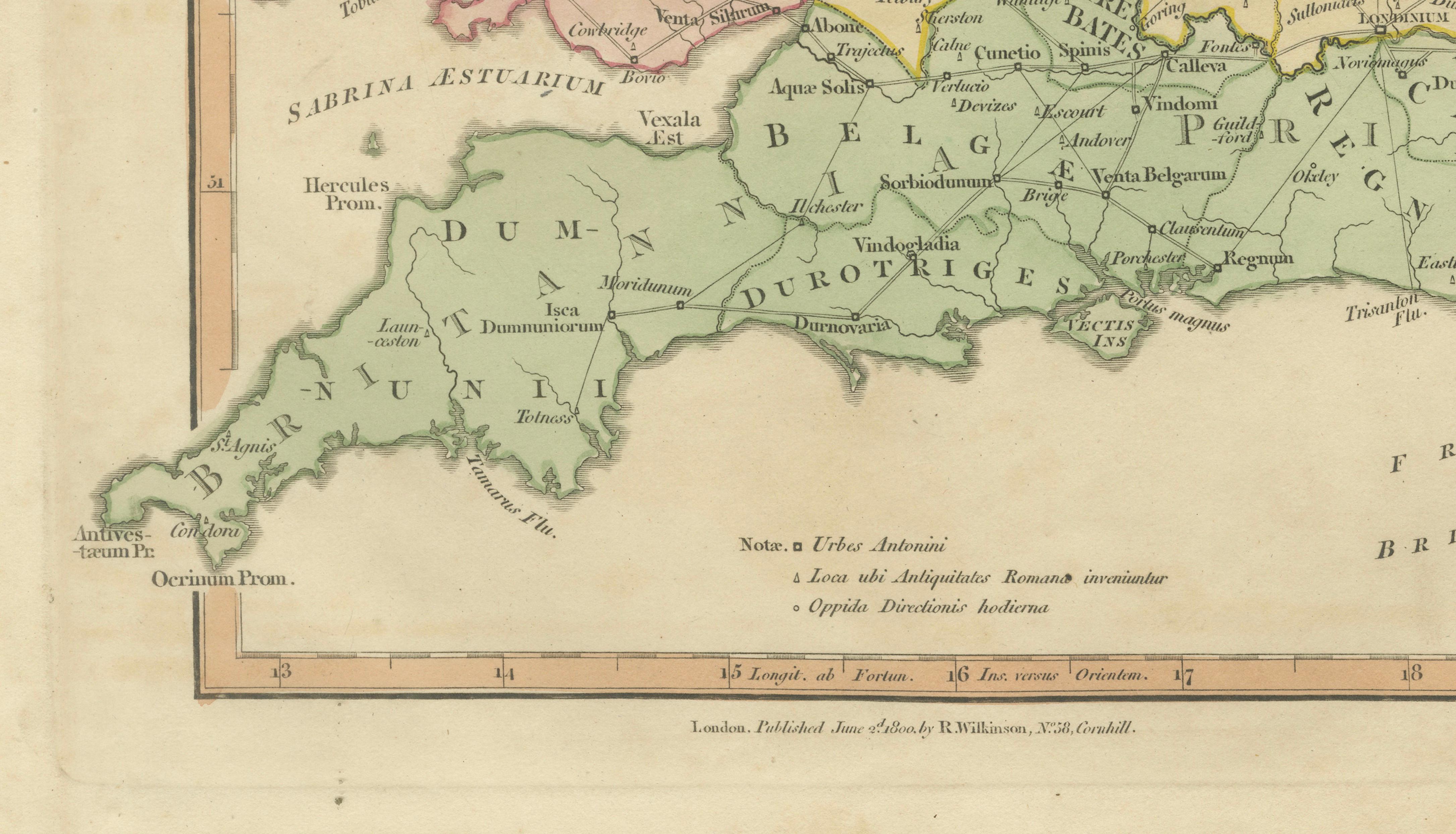
Surrounding coastal features, estuaries, and nearby regions—including parts of Wales and the western approaches—are elegantly rendered, reinforcing the island’s strategic importance within the Roman world. The balanced composition and clear geographical layout make the map both highly informative and visually appealing.
Engraved with precision by E. Bourne, this sheet exemplifies the refined craftsmanship of early 19th-century British cartography. The soft pastel palette, crisp lettering, and harmonious design make it not only a valuable historical reference but also a highly decorative piece suited for a wide range of interiors.
A compelling and historically rich work, ideal for collectors of Roman history, British antiquity, or decorative antique maps. It offers a fascinating window into the organization and infrastructure of Roman Britain and remains highly desirable for both scholarly and decorative purposes.
Condition: Very good with original hand color. Light age toning and minor wear consistent with age. Margins well preserved. Plate mark visible.
Framing tips: Particularly effective in a dark walnut or ebonized frame with a generous ivory or warm off-white mat. Ideal for a study, library, or classic interior; pairs beautifully with other maps of the Roman world.
This is an original 19th-century engraving, not a reproduction. All items we offer are authentic period works of art over 100 years old. The map is sold unframed; any framed images are shown for presentation and interior inspiration only.
Keywords: Roman Britain map, Britannia Romana, ancient England map, Wales antique map, Roman provinces Britain, Brigantes Iceni Trinovantes, Silures Dumnonii, Londinium Eboracum map, Hadrian’s Wall map, Vallum Adriani, Roman roads Britain, classical antiquity Britain, Atlas Classica, Robert Wilkinson map, 1817 antique map, copperplate engraving, hand colored map, British atlas engraving, London published map, early 19th century map, decorative antique map, scholarly atlas, collectors map, interior wall art, neoclassical decor, museum quality map
Technique: Copperplate engraving with original hand color
Maker: Robert Wilkinson, London, 1817 (engraved by E. Bourne)