About this sheet
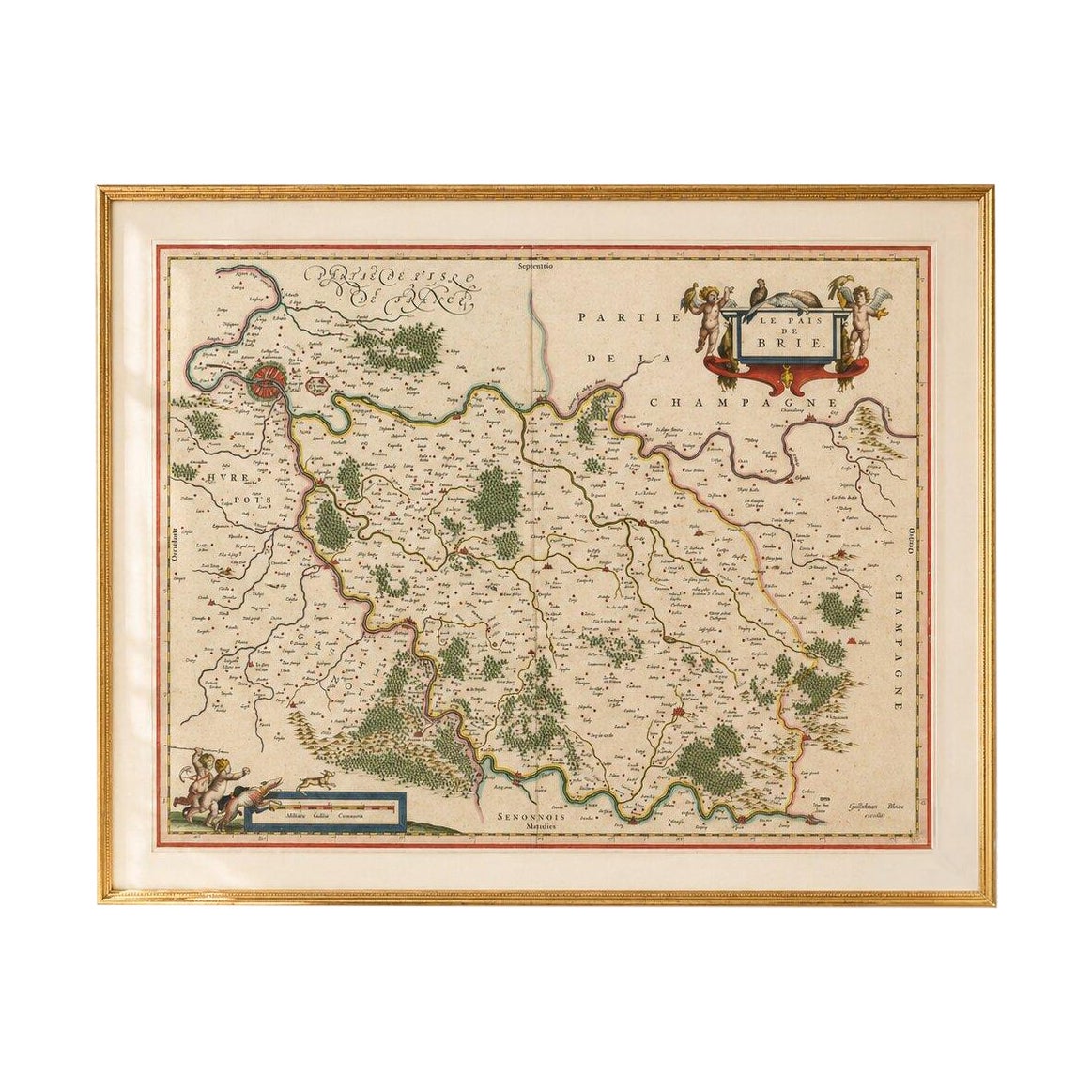
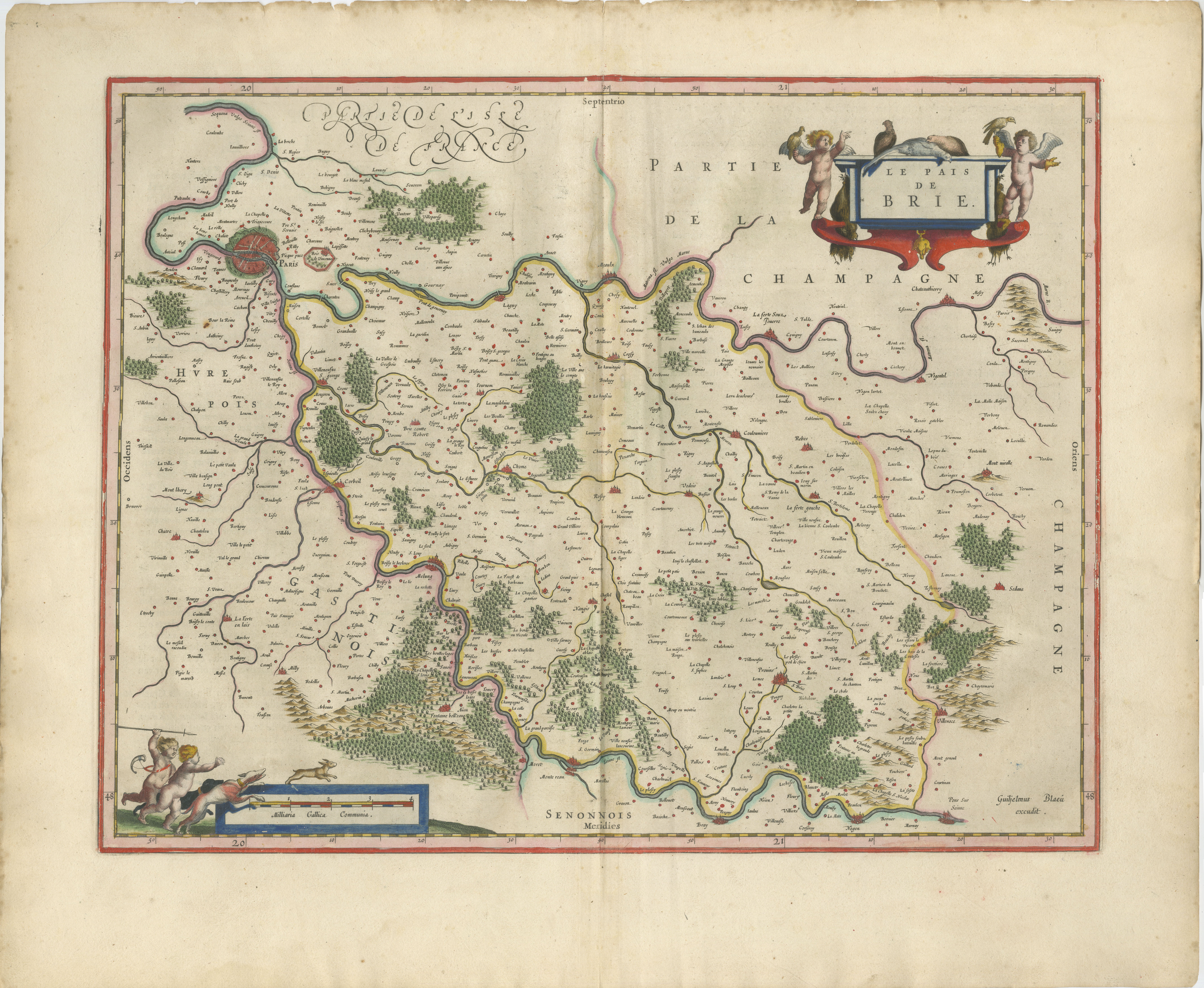
Antique Map of Brie & Champagne, Paris Region – Blaeu, c.1642
An elegant Blaeu map of the historic Brie region, long associated with Parisian aristocracy, royal estates, and refined French cuisine. Bordering the vineyards of Champagne and home to the legendary Brie de Meaux, this landscape embodies the luxury and cultural prestige of early modern France.
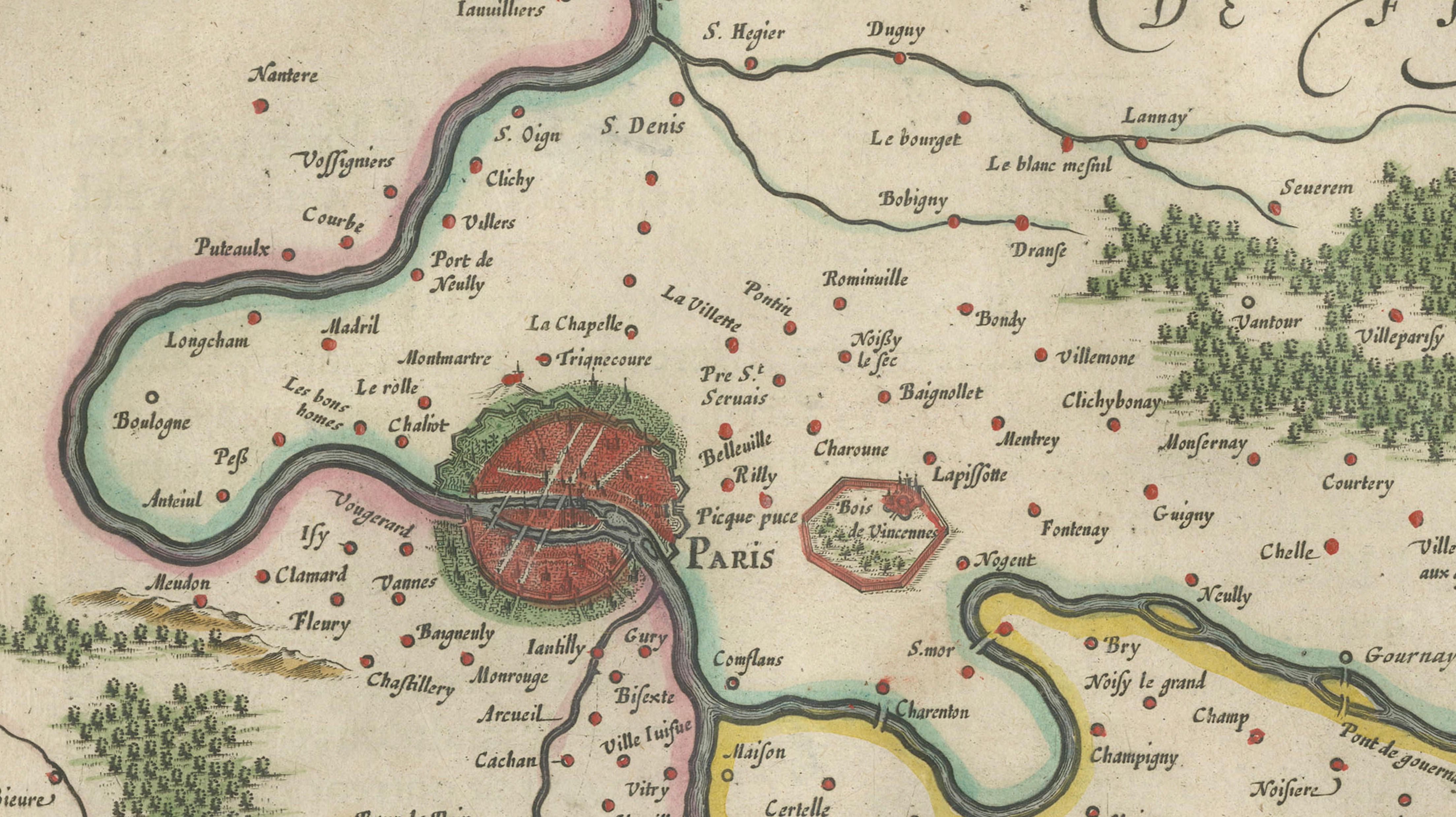
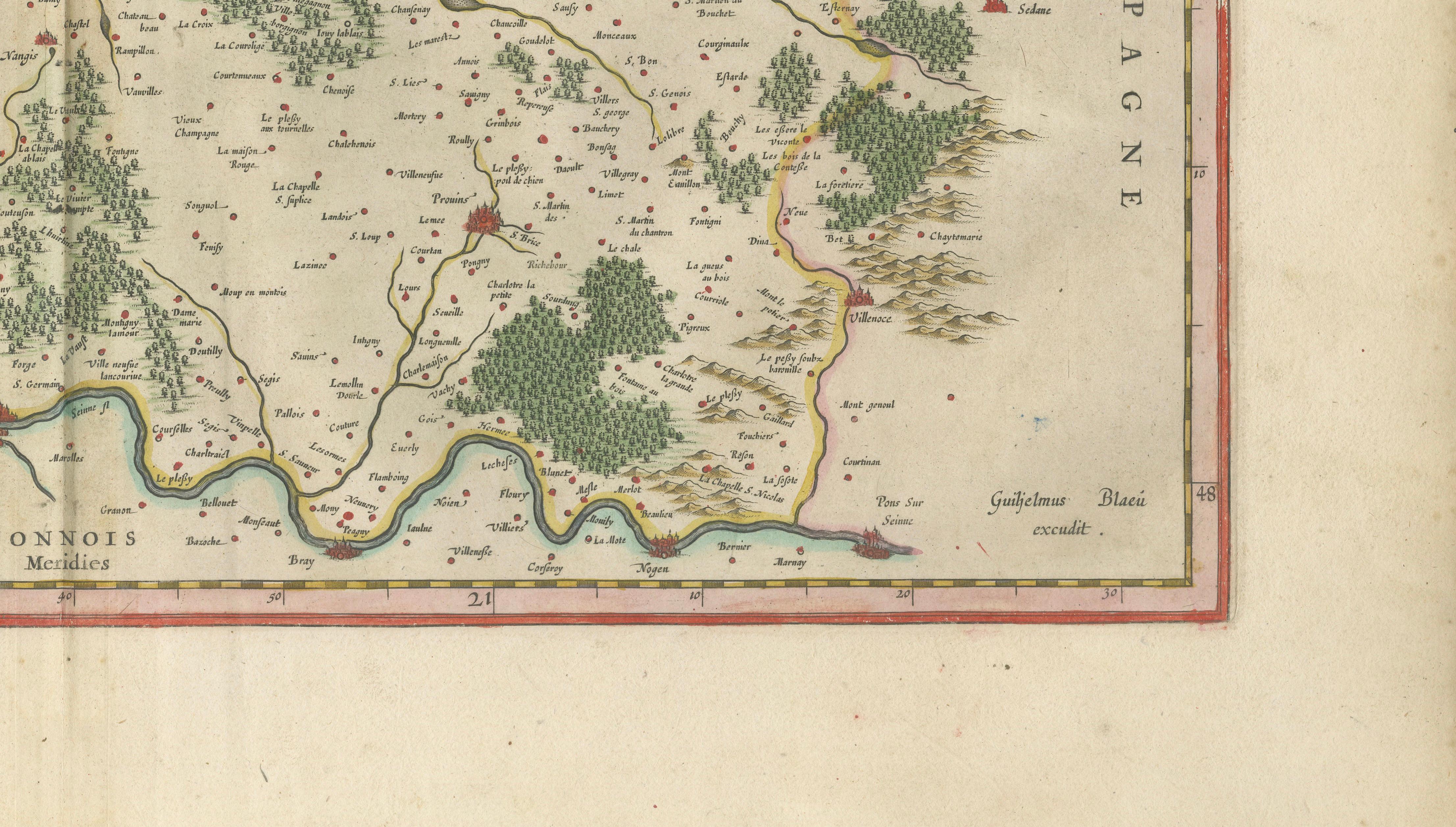
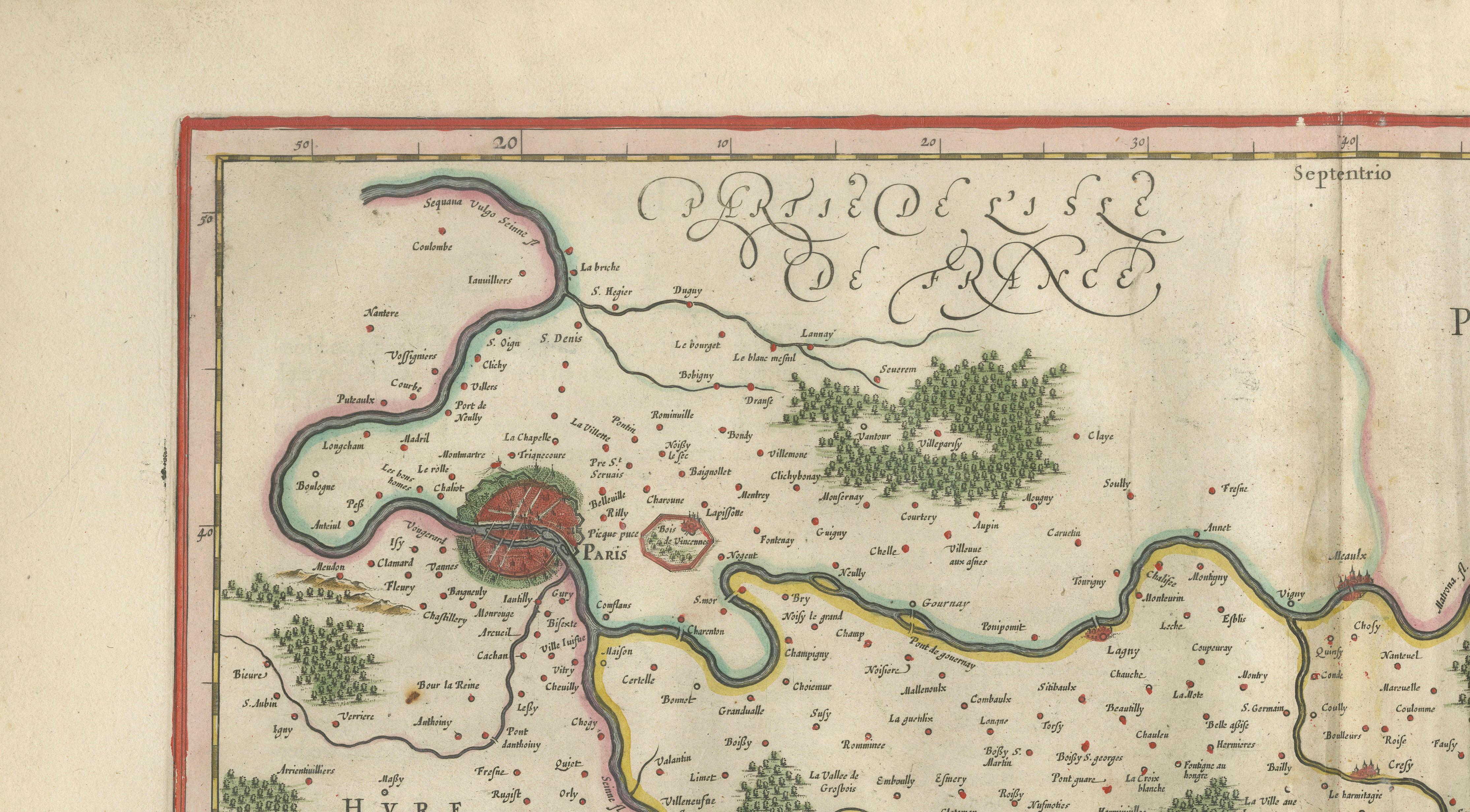
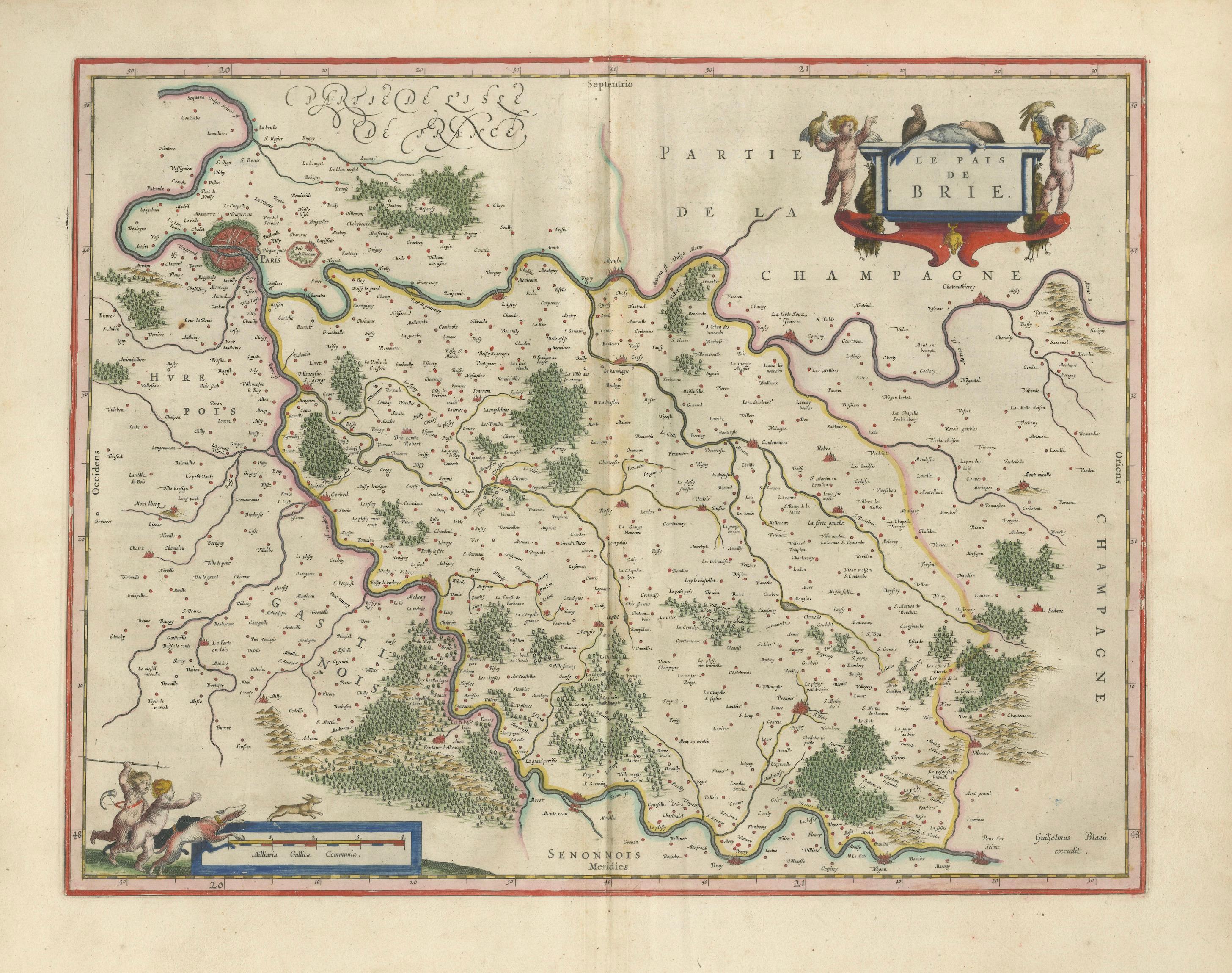
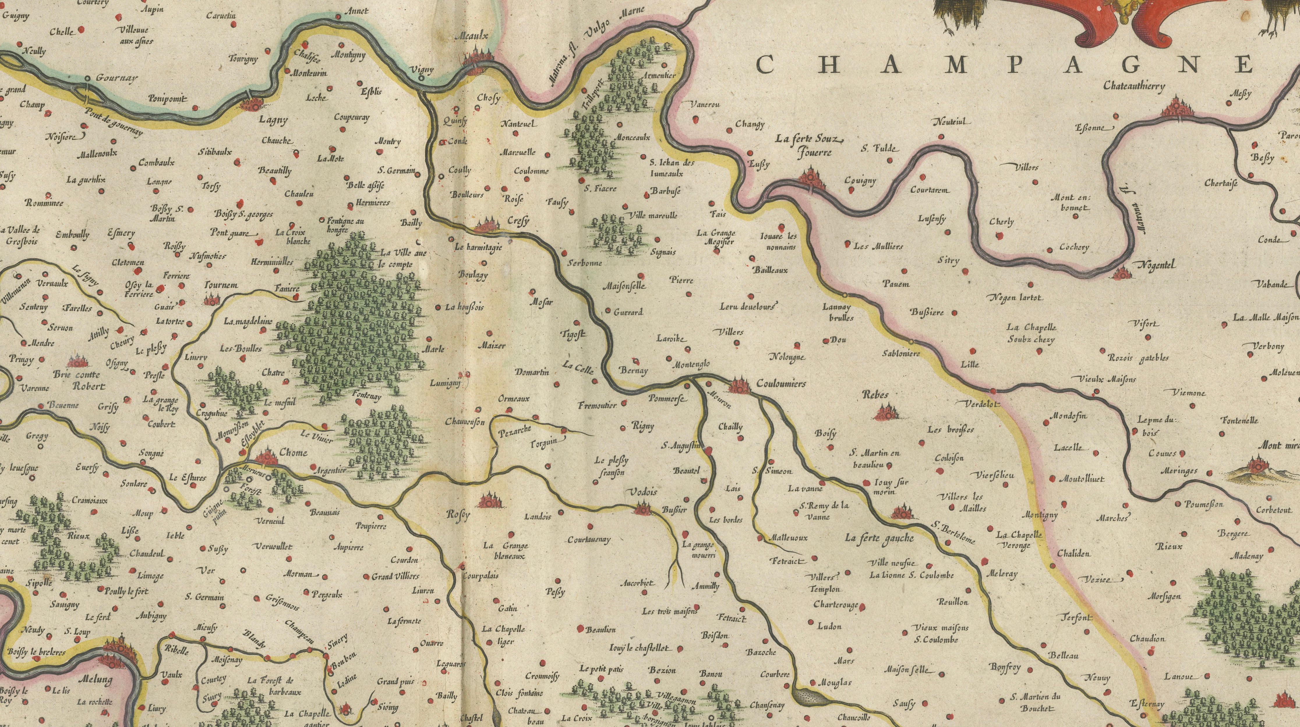
This finely engraved and original hand-colored copperplate map was published by Willem Janszoon Blaeu in Amsterdam circa 1642, as part of his celebrated atlas Toonneel des Aerdrycx. Centered on the fertile lands east of Paris, the map extends across the Pays de Brie into the edges of Champagne, with the Seine and its tributaries elegantly winding through a densely cultivated countryside. Paris itself appears to the west, anchoring the composition within the immediate sphere of royal power and influence.
The region depicted here formed one of the most important agricultural and cultural hinterlands of the French capital. Its proximity to Paris placed it at the heart of courtly life, where aristocratic estates, hunting grounds, and productive farmland coexisted within a highly structured and prosperous landscape. Brie was renowned for its dairy production, most notably the celebrated Brie de Meaux, long regarded as the “King of Cheeses” and a staple of elite dining. To the east, the land transitions into the famed vineyards of Champagne, placing the region within one of the most prestigious wine cultures in the world—an association historically tied to royal banquets, luxury trade, and the refined lifestyle of Paris.
Blaeu’s engraving captures this landscape with remarkable clarity and decorative finesse. A dense network of towns and villages is carefully plotted, interwoven with rivers, roads, and clusters of stylized forests. The composition is both informative and visually harmonious, reflecting the high standards of Dutch Golden Age cartography.
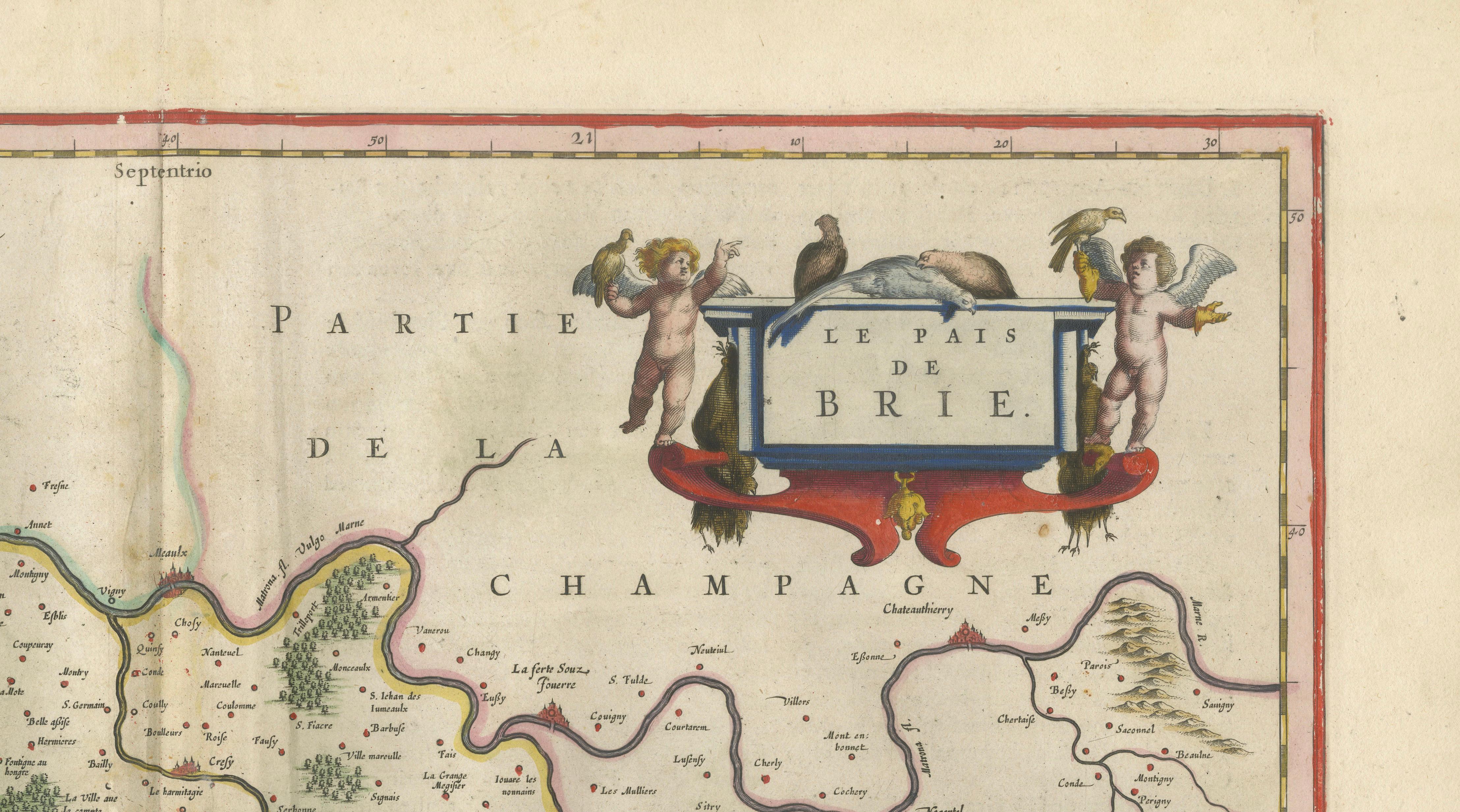
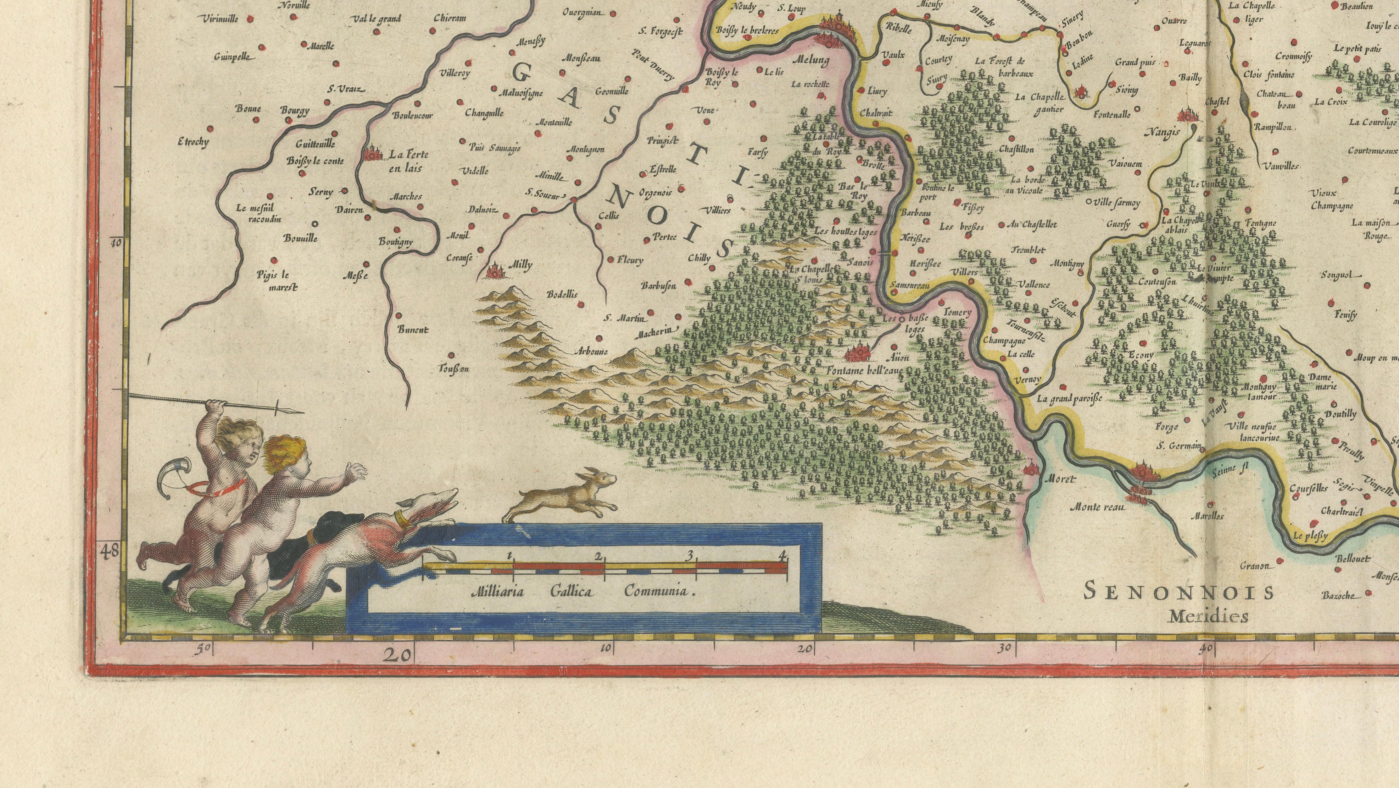
Decorative elements enhance the map’s appeal. The upper right features an elaborate baroque cartouche titled “Le Pais de Brie,” supported by playful putti and animals, while the lower left contains a finely engraved scale cartouche with lively figural ornament. The original hand coloring highlights regional boundaries and waterways, adding warmth and depth to the composition.
Maps centered on the Paris region are among the most desirable of all French cartographic works, combining historical importance with strong decorative presence. This example stands out for its balance, clarity, and cultural resonance, making it particularly well suited for both collectors and interior designers.
A refined and highly collectible piece, ideal for a Parisian-style interior, a classic study, or a contemporary space seeking a strong historical focal point with a distinct sense of luxury and place.
Condition report:
Good condition overall. Original centerfold as issued. Light age toning and minor discoloration to the margins, with some faint handling marks. Colors remain vibrant and well preserved. Plate mark visible.
Framing tips:
This map displays beautifully in a dark walnut or ebonized frame with a wide ivory or cream mat, enhancing the warmth of the original hand coloring and decorative cartouches. For a lighter, more contemporary interior, a thin black or bronze frame with an off-white mat creates a crisp and elegant presentation reminiscent of a Paris gallery setting.
Special note: This is an original antique map, not a reproduction. All items we offer are authentic period works of art over 100 years old. The piece is sold unframed; any framed images are shown for presentation and interior inspiration only and may not always be to scale.
Keywords:
Paris map, Brie map, Champagne region map, Île-de-France map, antique France map, Blaeu map, 17th century map, Paris region engraving, French countryside map, Brie de Meaux, Champagne vineyards, royal France map, decorative map France, hand colored map, old map Paris, European antique map, Dutch Golden Age cartography
Technique: Copperplate engraving with original hand coloring
Maker: Willem Janszoon Blaeu, Amsterdam, circa 1642