About this sheet
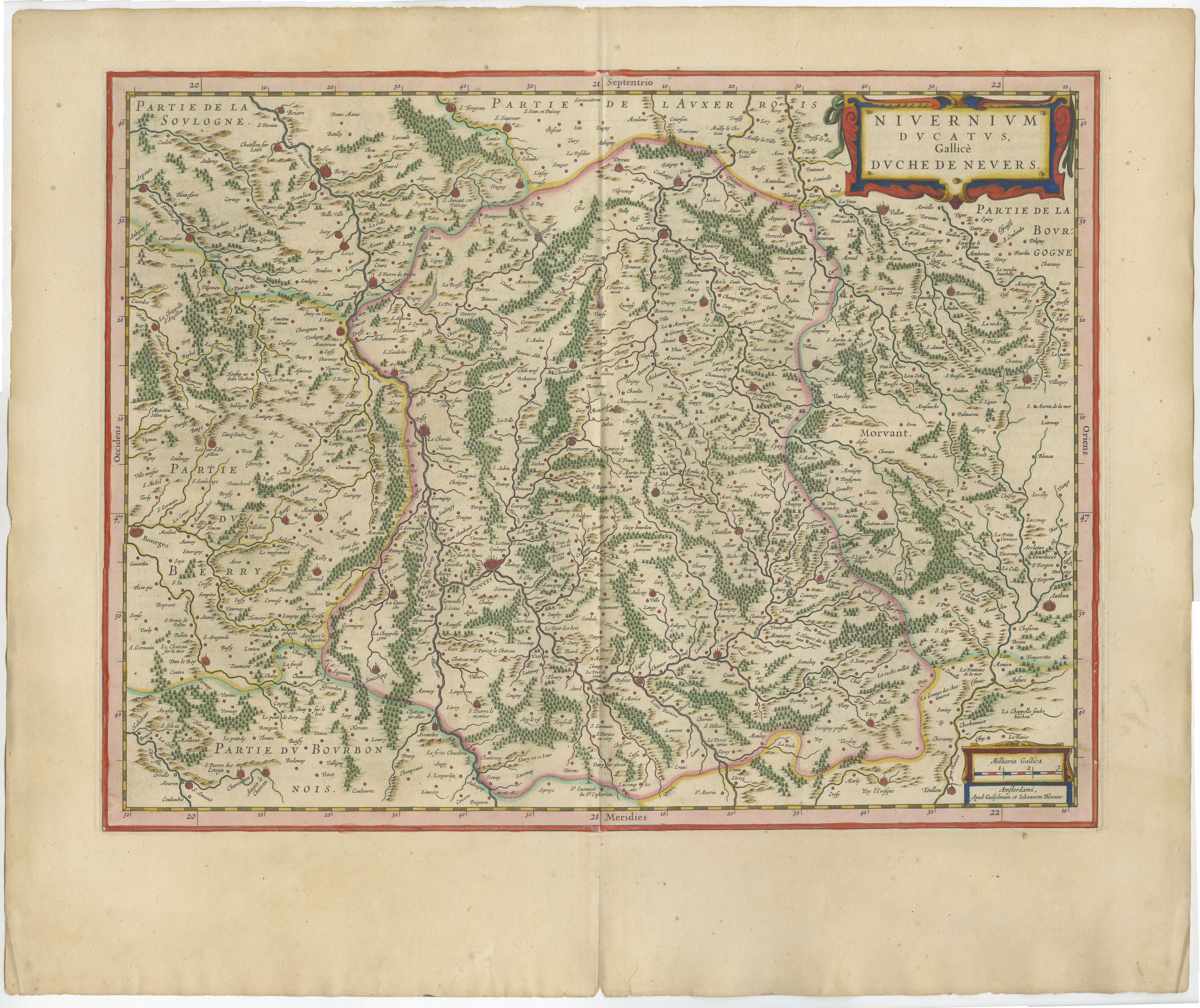
Antique Blaeu Map of Nevers, Nivernais and Morvan, France, 1642
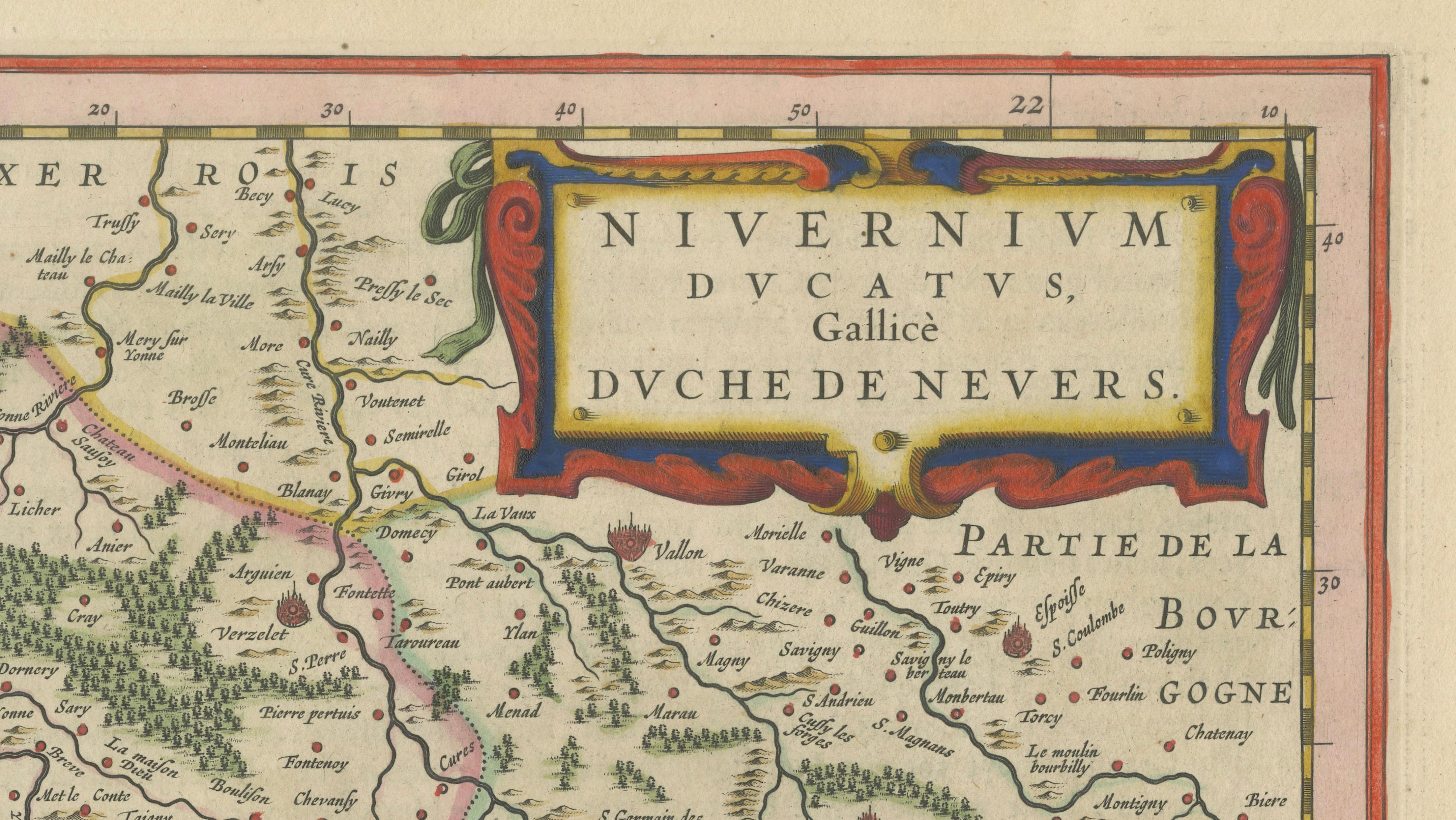
This original seventeenth-century map depicts the historic Duchy of Nevers and the surrounding Nivernais region of central France. The map is titled “Nivernium Ducatus, Gallice Duché de Nevers” and presents the territory in exceptional detail, including Nevers, the Morvan, numerous villages, rivers, forests, roads and historic provincial boundaries.
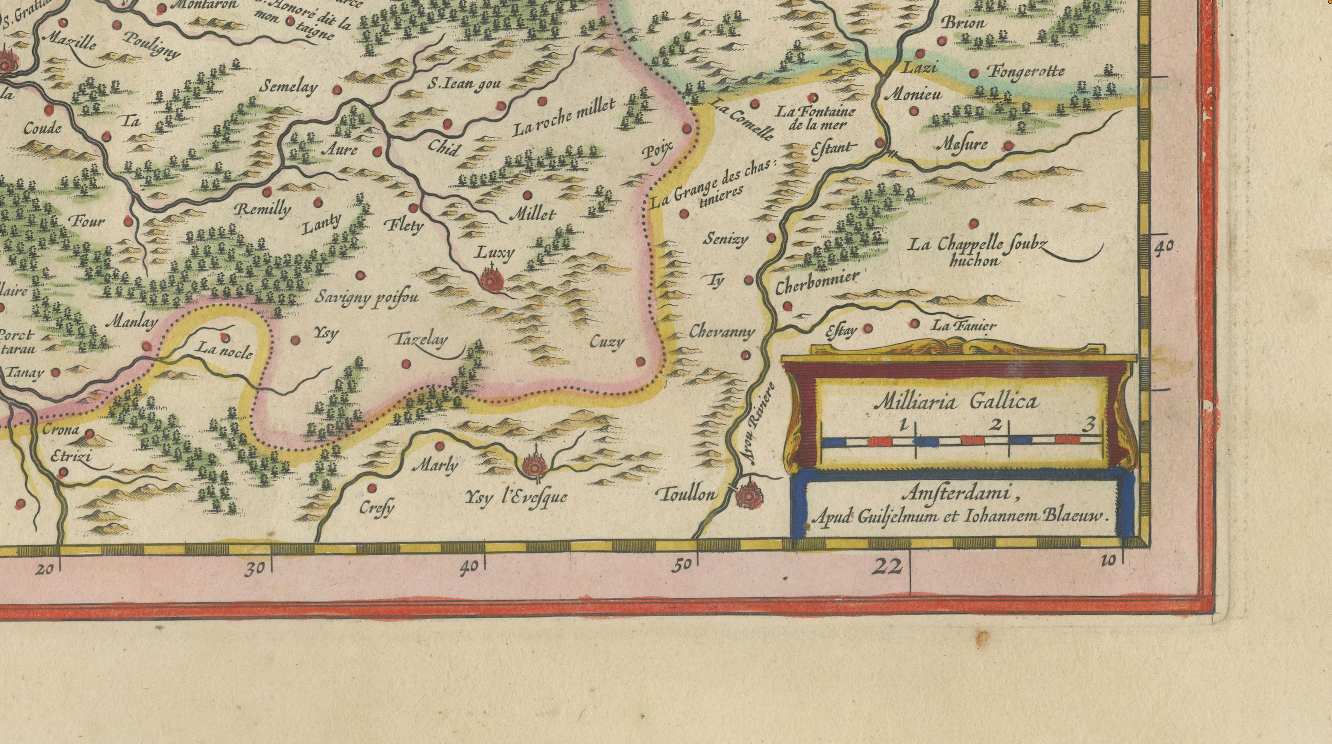
Published in Amsterdam by Willem Janszoon Blaeu and Joan Blaeu, the map belongs to the celebrated atlas publications of the Blaeu workshop. The publisher’s imprint appears in the lower-right corner. This example dates to circa 1642, during the period when the Blaeu firm was producing some of the most admired maps of the Dutch Golden Age.
The composition is distinguished by an elaborate title cartouche in the upper-right corner, decorated with bold strapwork ornament. A smaller scale cartouche appears at the lower right. Finely engraved forests, waterways, settlements and relief details fill the map, while hand-coloured boundaries distinguish the historic territories.
The map centres on the Duchy of Nevers, with neighbouring areas identified around its borders, including parts of Berry, Bourbonnais, Auxerrois and Burgundy. The Morvan, a historic upland region now forming part of Burgundy, is clearly marked in the eastern section.
Nevers is historically known for its ducal heritage and for the production of Nevers faience, a tradition of decorated tin-glazed earthenware established during the Renaissance. The wider Nivernais and Burgundy region is also associated with rural gastronomy, Charolais cattle and long-established wine-producing areas.
Willem Janszoon Blaeu was one of the leading cartographers, publishers and globe makers of the seventeenth century. Following his death in 1638, the Amsterdam firm continued under his sons, including Joan Blaeu, maintaining its reputation for geographical detail, refined engraving and decorative elegance.
With its dense cartographic detail, attractive colouring and strong regional associations, this map would make a distinguished addition to a collection of French cartography, Burgundy-related works or Dutch Golden Age maps. It would also create an impressive focal point in a library, study, dining room or refined interior.
Title: Nivernium Ducatus, Gallice Duché de Nevers
Publishers: Willem Janszoon Blaeu and Joan Blaeu
Place of publication: Amsterdam
Date: Circa 1642
Technique: Hand-coloured copperplate engraving
Subject: Nevers, Nivernais and the Morvan, France
Condition: The map shows age-related toning, a central atlas fold and minor wear consistent with its age. Some irregularity and light staining are visible around the margins. Please examine the photographs carefully, as they form an important part of the condition description.
This is an original seventeenth-century copperplate engraving and not a modern reproduction. Any images showing the map framed are provided for visual inspiration only. The map is supplied unframed.
Keywords:
Willem Blaeu, Joan Blaeu, Blaeu map, antique map of France, Nevers map, Nivernais map, Duchy of Nevers, Morvan map, Burgundy map, French regional map, seventeenth-century map, 17th-century cartography, Dutch Golden Age map, Amsterdam cartography, hand-coloured map, copperplate engraving, original antique map, historic French map, decorative wall map, Blaeu atlas, Nevers faience, Burgundy history, French provincial map, early European cartography, collector’s map