About this sheet
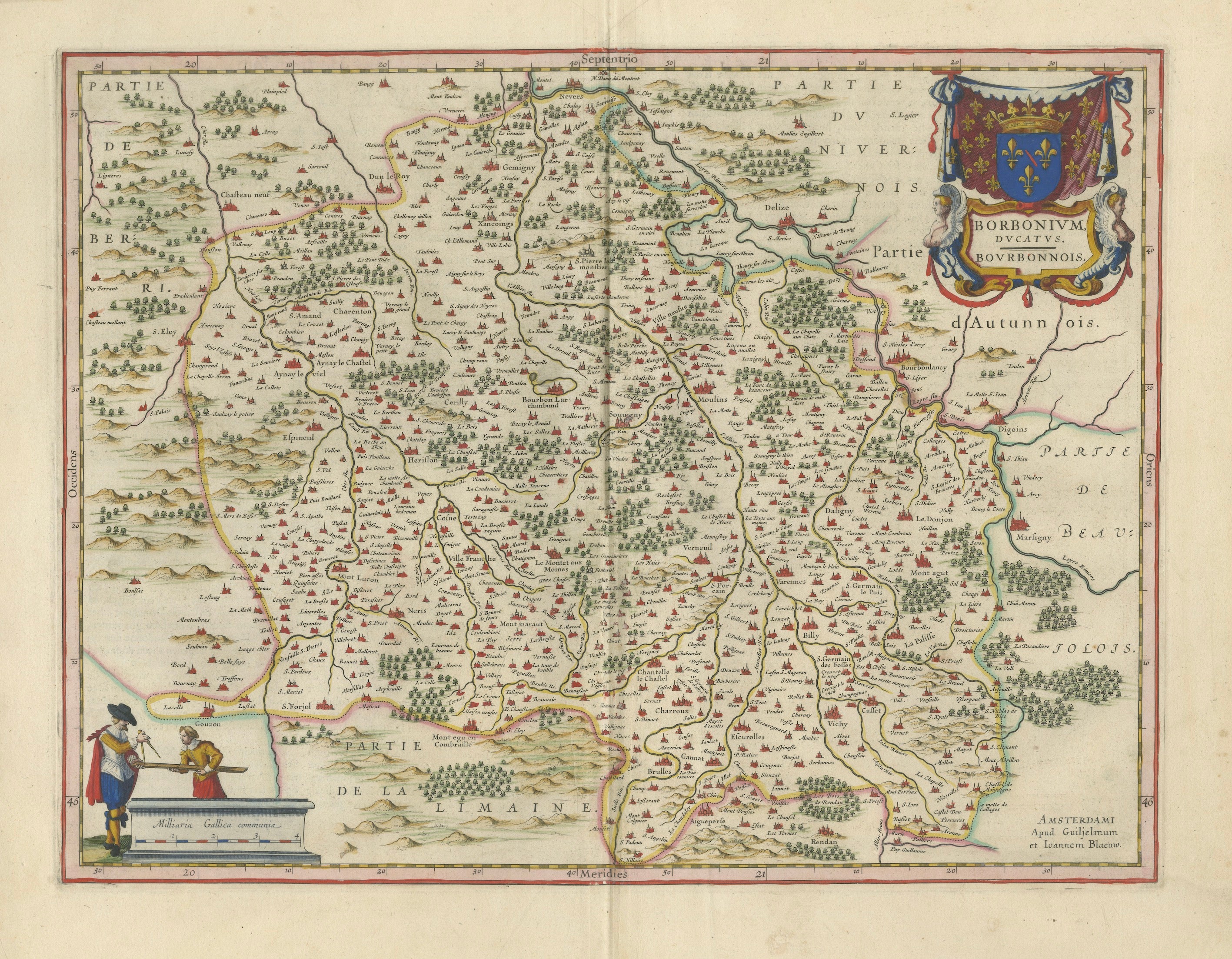
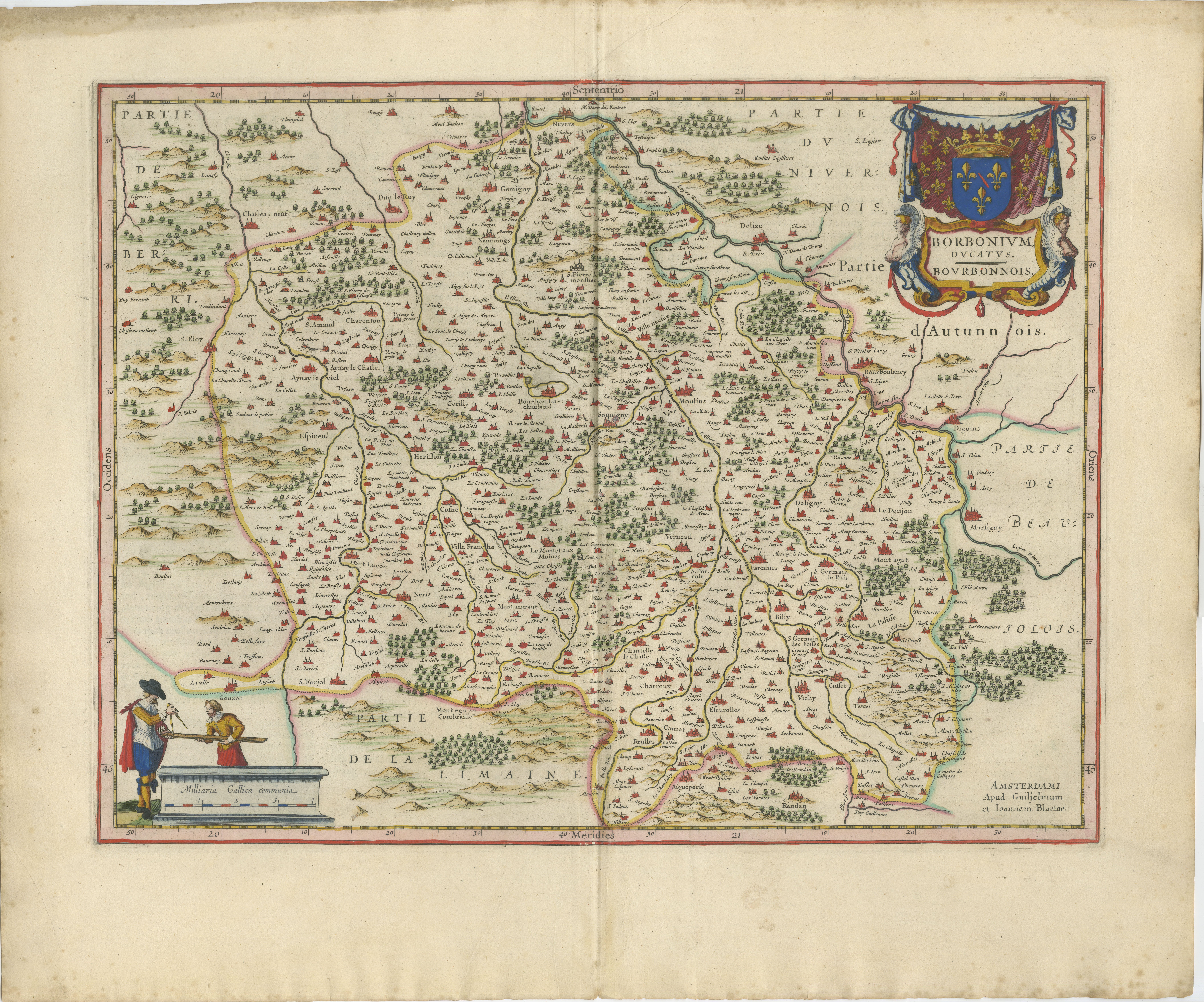
Antique Blaeu Map of Bourbonnais, Moulins and Vichy, France, 1642
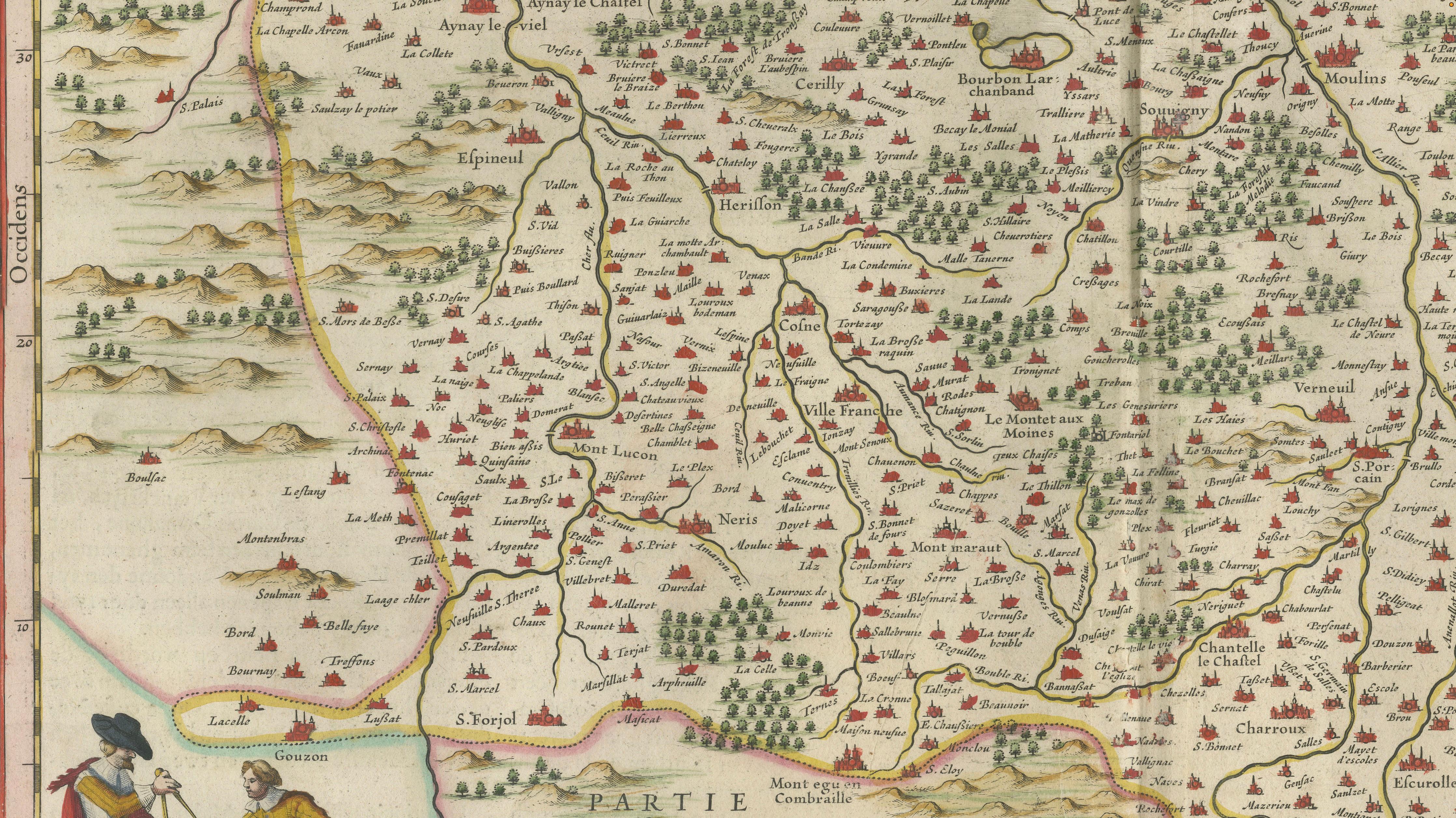
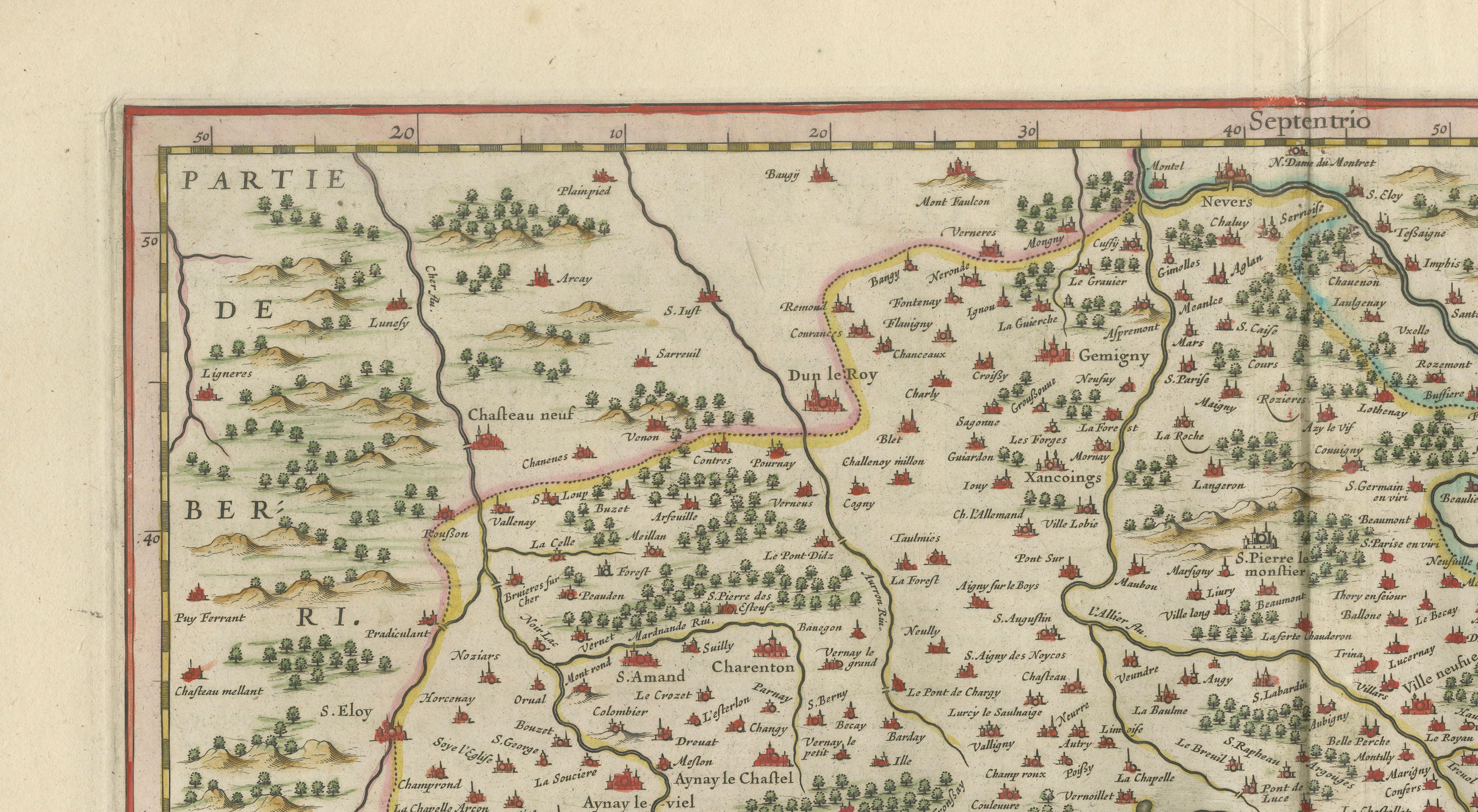
This original seventeenth-century map depicts the historic French province of Bourbonnais, a region centred on Moulins and extending across a dense network of towns, rivers, forests and roads. The map bears the title “Borbonivm Ducatus. Bovrbonnois” and presents the area in the elegant and highly decorative style for which the Blaeu workshop became famous.
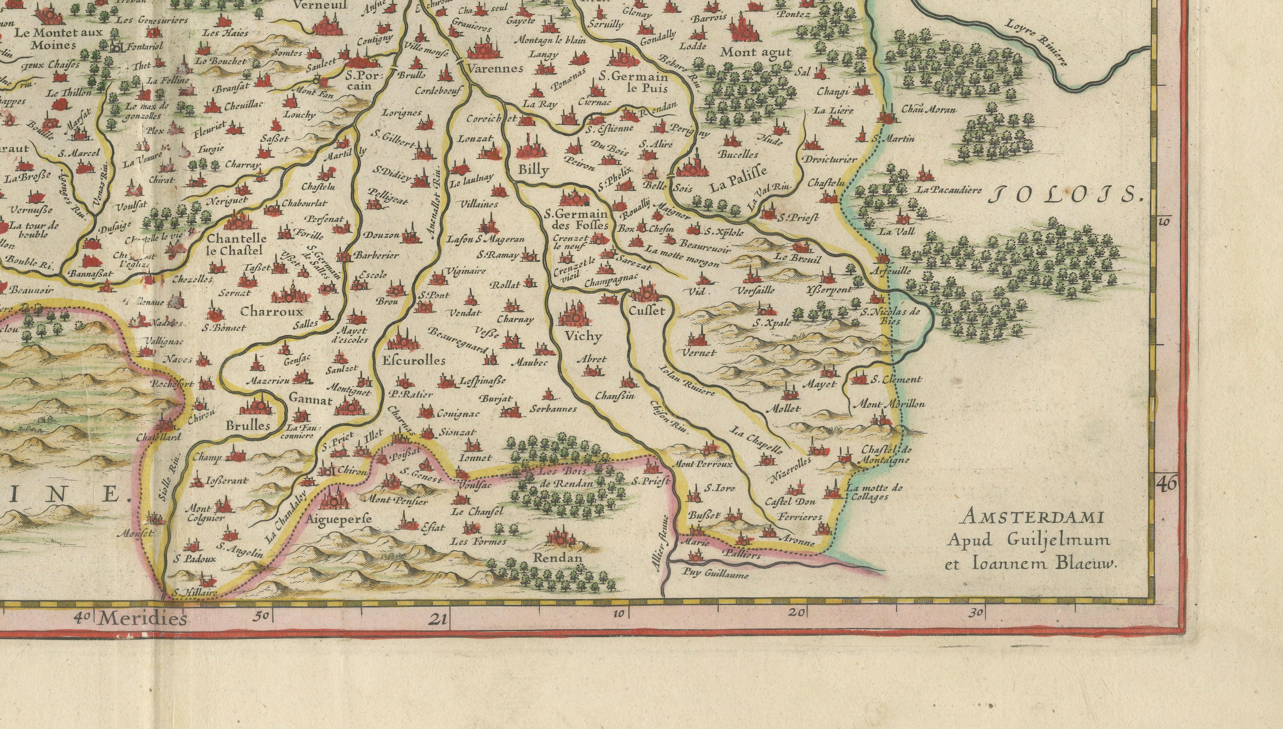
Published in Amsterdam by the Blaeu firm, this map belongs to the great tradition of Dutch Golden Age cartography. The imprint at lower right reads “Amsterdami Apud Guilielmum et Ioannem Blaeu,” indicating publication by Willem Janszoon Blaeu and his son Joan Blaeu. This example dates to circa 1642 and was issued as part of the celebrated Blaeu atlas publications, among the most admired cartographic works of the seventeenth century.
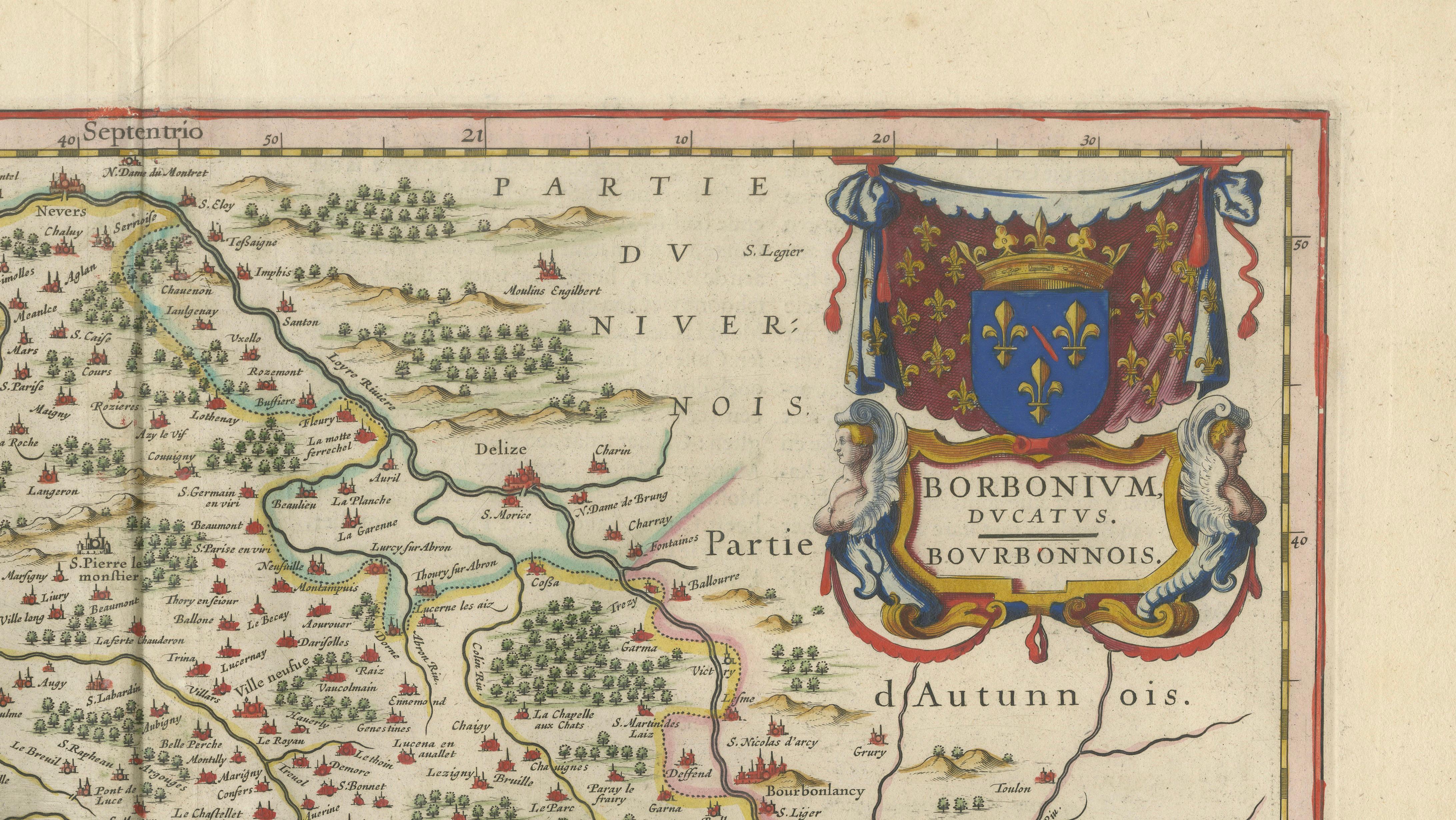
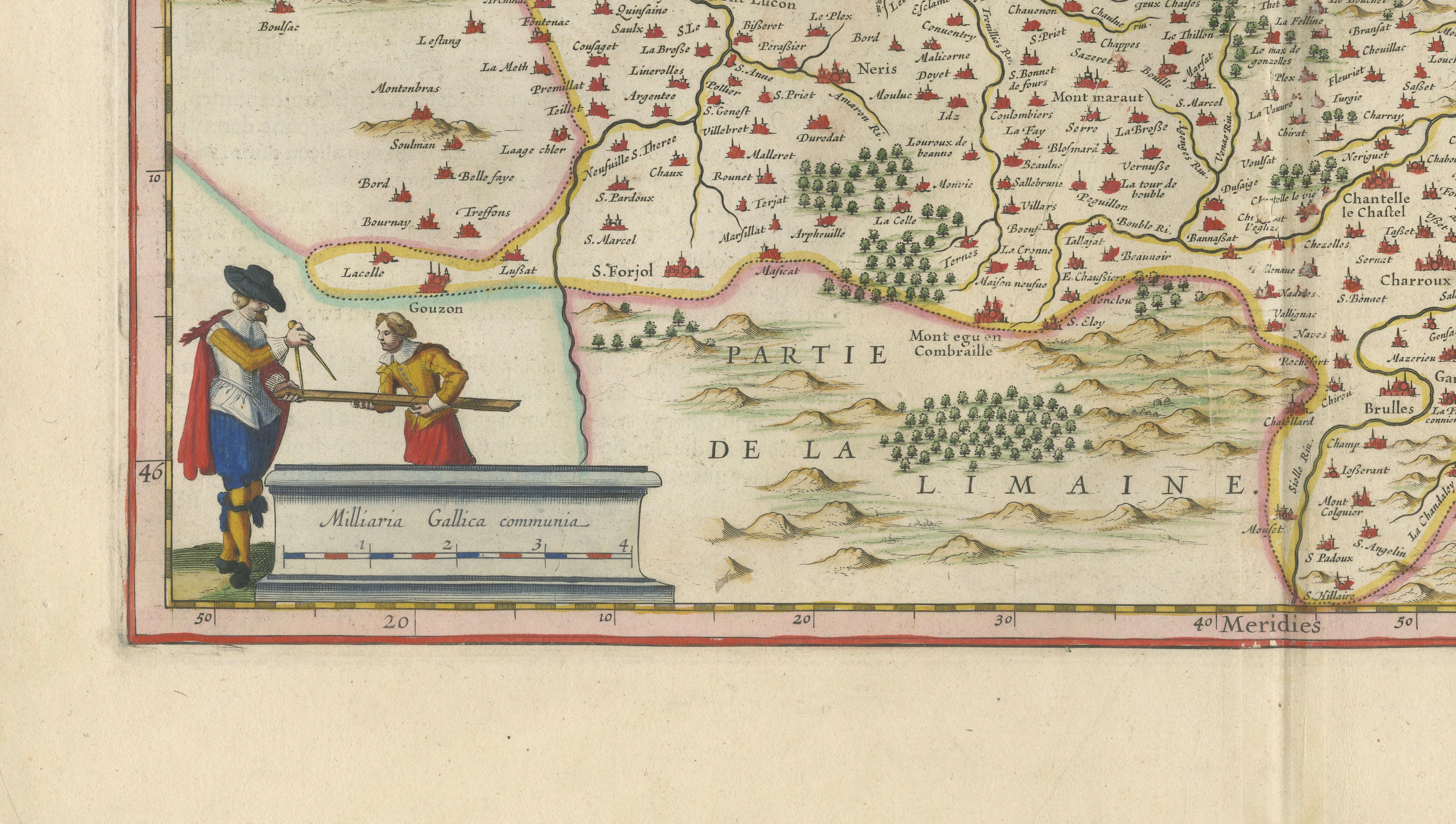
The composition is enriched by fine original hand colouring and decorative engraved elements. In the upper-right corner appears an elaborate cartouche with the arms of France and the title of the province, while a scale cartouche with small standing figures decorates the lower-left corner. The map itself is filled with numerous place names and topographical details, including Moulins, Vichy and other historic settlements, together with woodlands, hills and waterways rendered in delicate engraved form.
Bourbonnais is a region of considerable historical and cultural interest, long associated with the House of Bourbon, one of Europe’s most important royal dynasties. The area is also known for the spa town of Vichy and for Saint-Pourçain, one of France’s oldest wine-producing districts. These regional associations add further appeal for collectors interested in French history, gastronomy and viticultural heritage.
Willem Janszoon Blaeu was one of the most influential cartographers, publishers and globe makers of his era. His maps set new standards for engraving quality, visual balance and decorative elegance. After his death in 1638, the business continued under the direction of his sons, most notably Joan Blaeu, who carried the firm to even greater prominence.
This map would make a fine addition to a collection of French regional maps, Dutch Golden Age cartography or early European prints. It would also serve as an elegant decorative focal point in a study, library or refined interior.
Title: Borbonivm Ducatus. Bovrbonnois
Publisher: Willem and Joan Blaeu
Place of publication: Amsterdam
Date: Circa 1642
Technique: Hand-coloured copperplate engraving
Subject: Bourbonnais, France
Condition: The map shows age-related toning, a central atlas fold and minor handling wear consistent with its age. There is also some light staining and paper undulation visible near the margins. Please examine the photographs carefully, as they form an important part of the condition description.
This is an original seventeenth-century copperplate engraving and not a modern reproduction. Any images showing the map framed are for visual inspiration only. The map is supplied unframed.
Keywords:
Willem Blaeu, Joan Blaeu, Blaeu map, antique map of France, Bourbonnais map, Borbonivm Ducatus, Moulins map, Vichy map, Saint-Pourçain, French regional map, 17th-century map, seventeenth-century cartography, Dutch Golden Age map, Amsterdam cartography, hand-coloured engraving, copperplate engraving, original antique map, historical map of France, decorative wall map, Blaeu atlas, House of Bourbon, French wine region, French history, collector’s map, early European cartography