About this sheet
Charlemagne’s Empire Map, Carolingian Europe France Germany Italy 1817
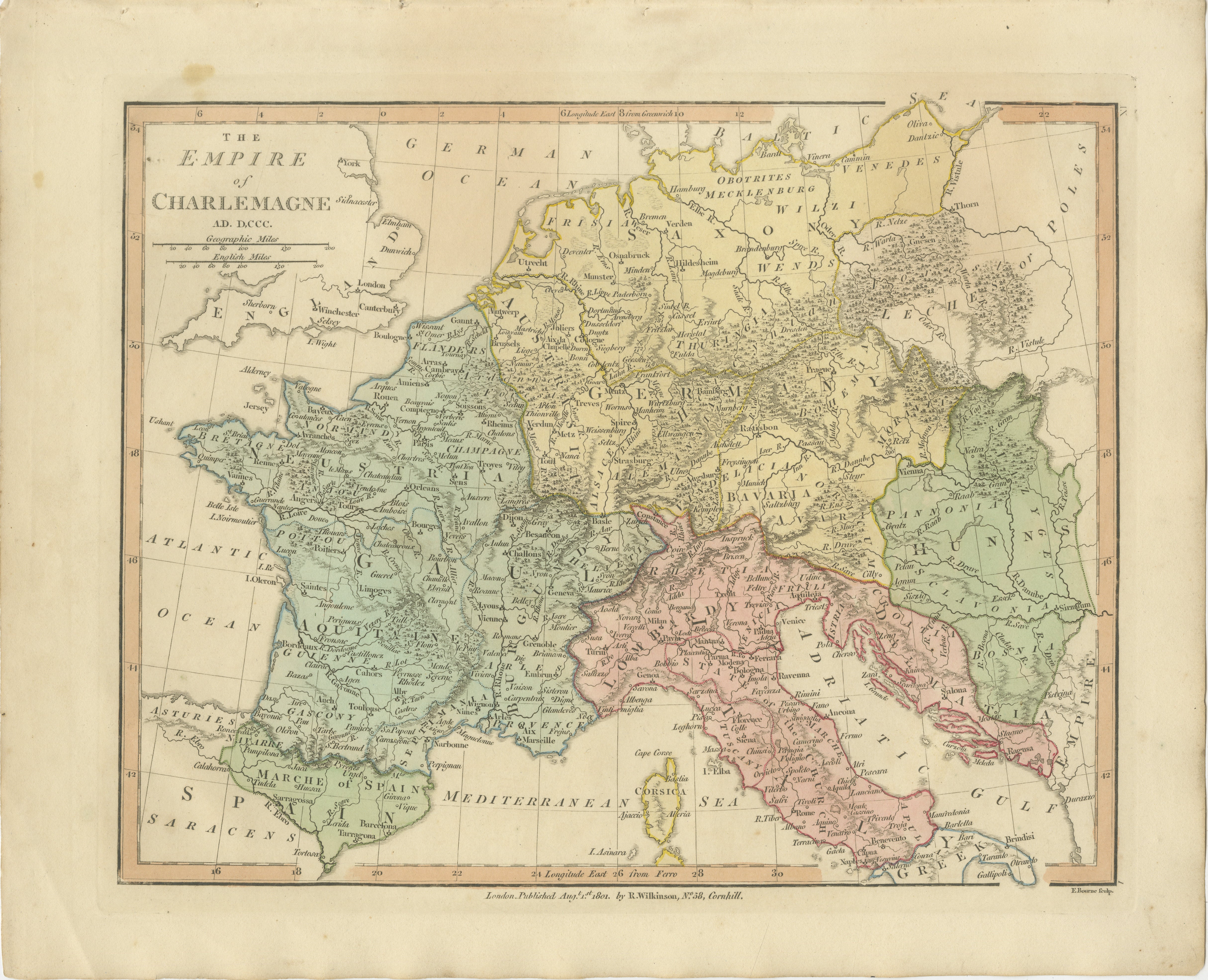
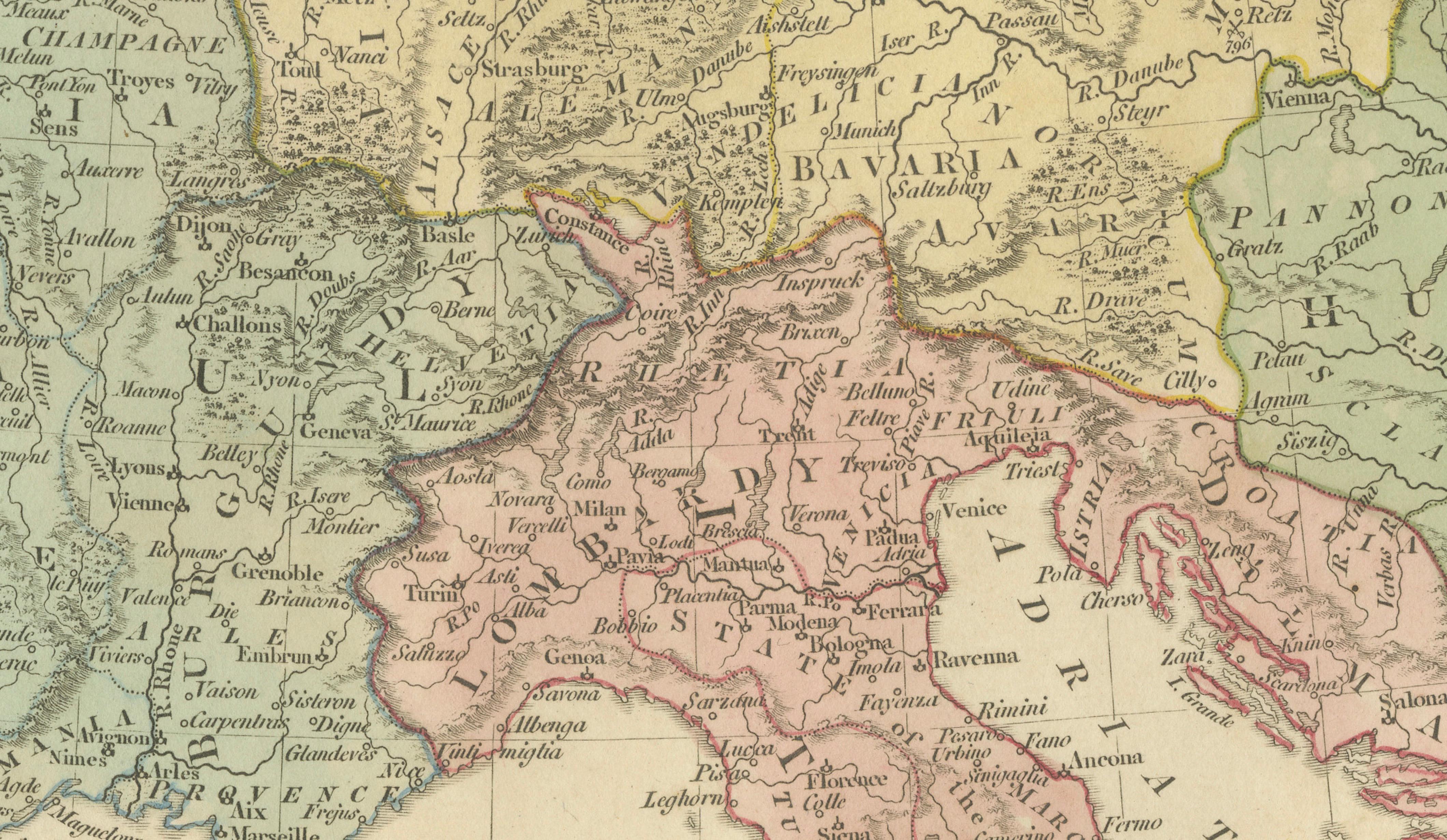
This finely engraved and delicately hand-colored map depicts the vast empire of Charlemagne at the height of Carolingian power around AD 800, offering a detailed view of early medieval Europe during a formative period in its history. Published in London in 1817 by Robert Wilkinson as part of his celebrated Atlas Classica, the map was designed as an educational companion to the study of European history and the legacy of the Carolingian Empire.
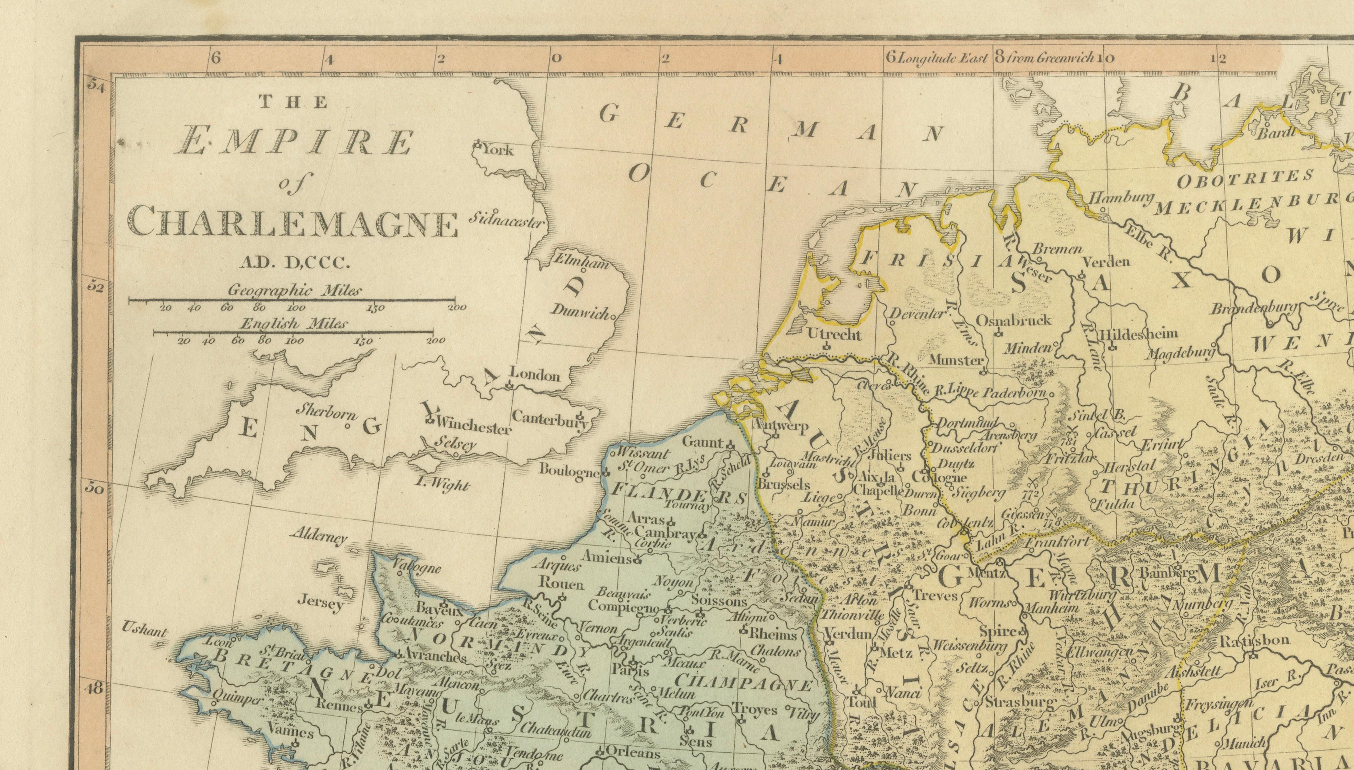
Titled 'The Empire of Charlemagne AD DCCC', the map presents a wide-ranging view of Western and Central Europe, including present-day France, Germany, the Low Countries, northern Spain, and much of Italy. The territorial extent of Charlemagne’s dominion is clearly delineated and enhanced with subtle original hand coloring, allowing the viewer to distinguish the core regions of the empire and its surrounding territories.
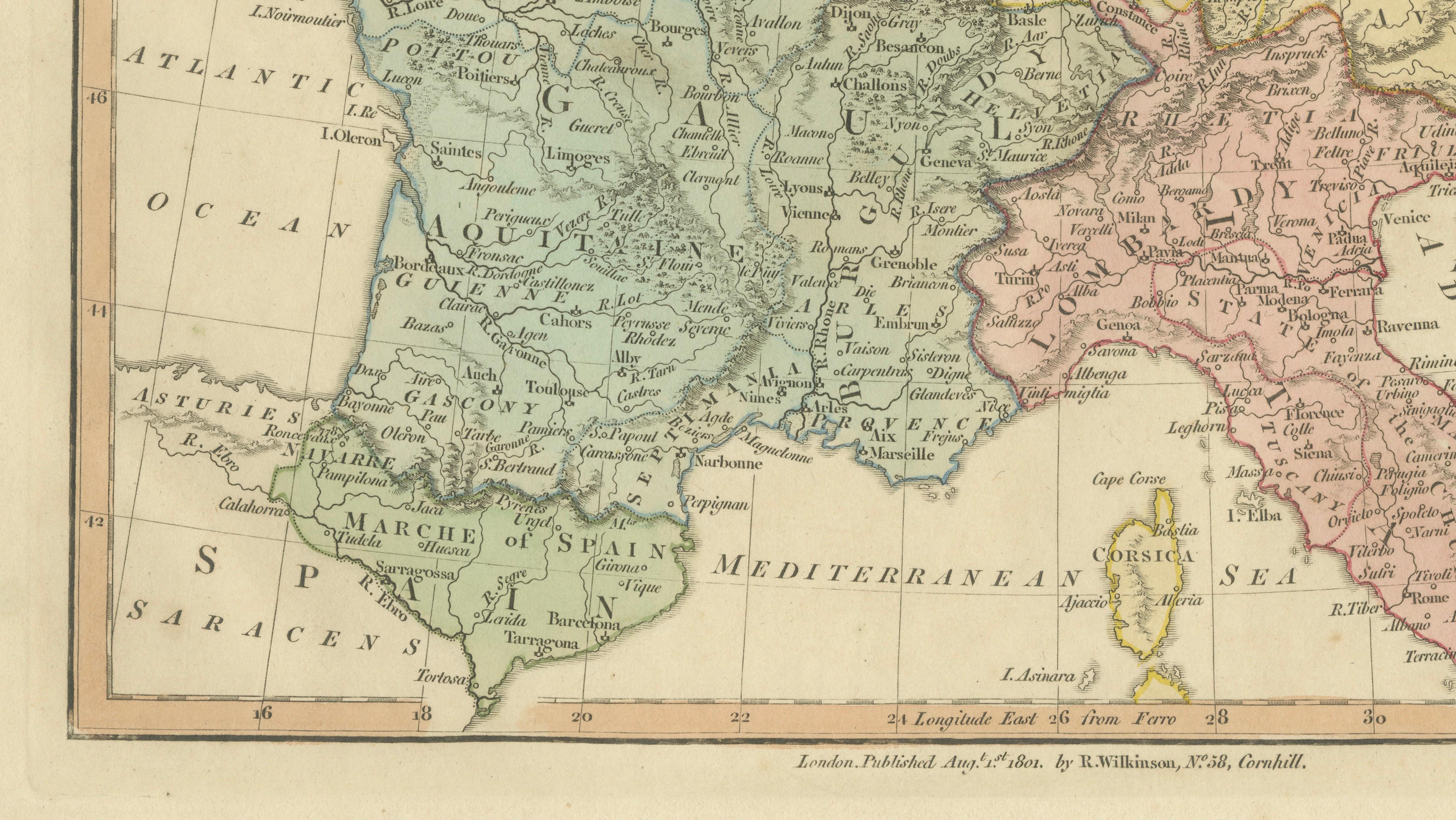
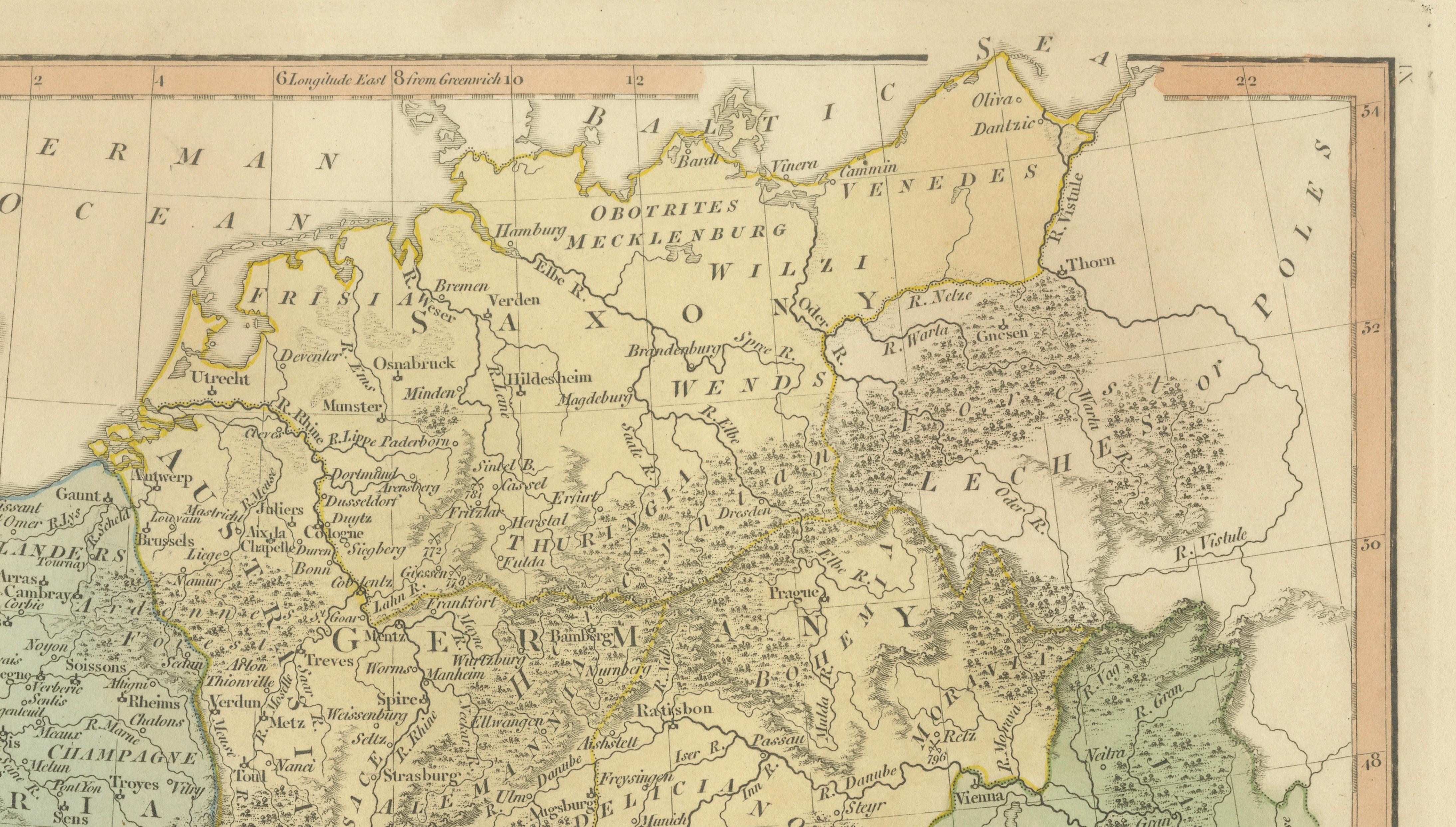
The map is rich in geographical and historical detail, with numerous cities, rivers, and mountain ranges carefully engraved. Important centers such as Paris, Aachen, Rome, Milan, and Vienna are prominently marked, reflecting their significance within the Carolingian world. The division of regions such as Aquitaine, Burgundy, Bavaria, and Lombardy highlights the complex administrative structure of the empire and its role in shaping the political landscape of medieval Europe.
The surrounding seas—including the Atlantic Ocean and Mediterranean Sea—frame the composition, reinforcing the geographic scope of Charlemagne’s influence. The inclusion of parts of England and Spain provides further context to the broader European setting in which the Carolingian Empire operated.
Engraved with precision by E. Bourne, the map exemplifies the refined craftsmanship of early nineteenth-century British cartography. Its balanced composition, soft pastel palette, and clear typography make it both an informative historical document and an elegant decorative piece suitable for a wide range of interiors.
A compelling work for collectors of medieval history, early European cartography, or decorative antique maps, this map offers a fascinating insight into the political and cultural foundations of modern Europe.
Condition: Very good with original hand color. Light age toning and minor wear consistent with age. Margins well preserved. Plate mark visible.
Framing tips: Particularly effective in a dark walnut or ebonized frame with a generous ivory or warm off-white mat. Ideal for a study, library, or classic interior; pairs beautifully with other European or historical maps.
This is an original 19th-century engraving, not a reproduction. All items we offer are authentic period works of art over 100 years old. The map is sold unframed; any framed images are shown for presentation and interior inspiration only.
Keywords: Charlemagne map, Carolingian Empire map, medieval Europe map, AD 800 map, France Germany Italy map, Holy Roman Empire origins, Aachen Paris Rome Milan Vienna, Aquitaine Burgundy Bavaria Lombardy, early medieval Europe, European history map, Atlas Classica, Robert Wilkinson map, 1817 antique map, copperplate engraving, hand colored map, British atlas engraving, London published map, early 19th century map, decorative antique map, scholarly atlas, collectors map, interior wall art, neoclassical decor, museum quality map
Technique: Copperplate engraving with original hand color
Maker: Robert Wilkinson, London, 1817 (engraved by E. Bourne)