About this sheet
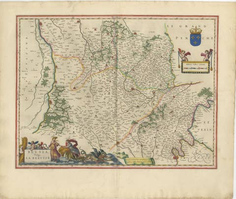
Antique Blaeu Map of Lyonnais, Forez, Beaujolais & Mâconnais, 1642
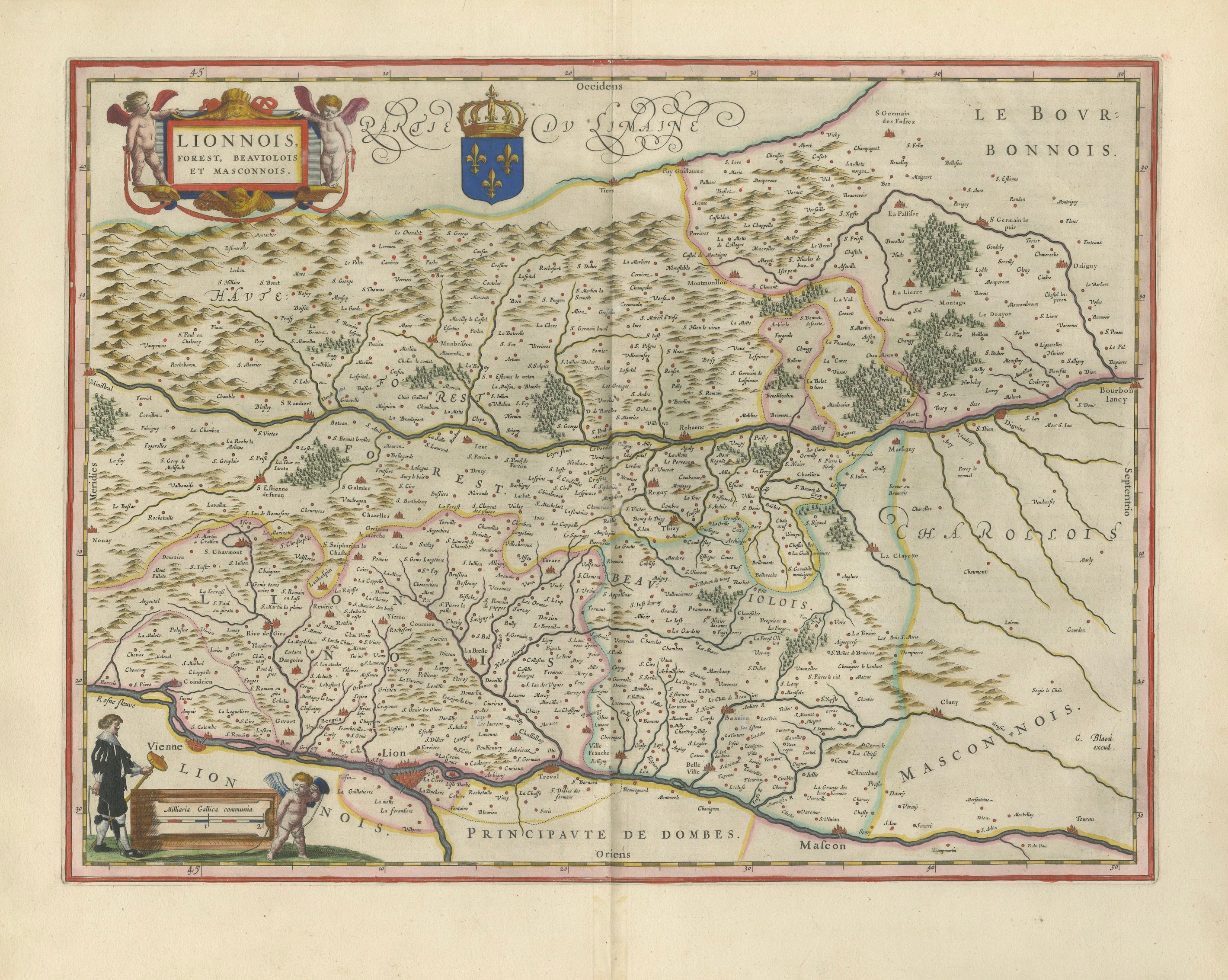
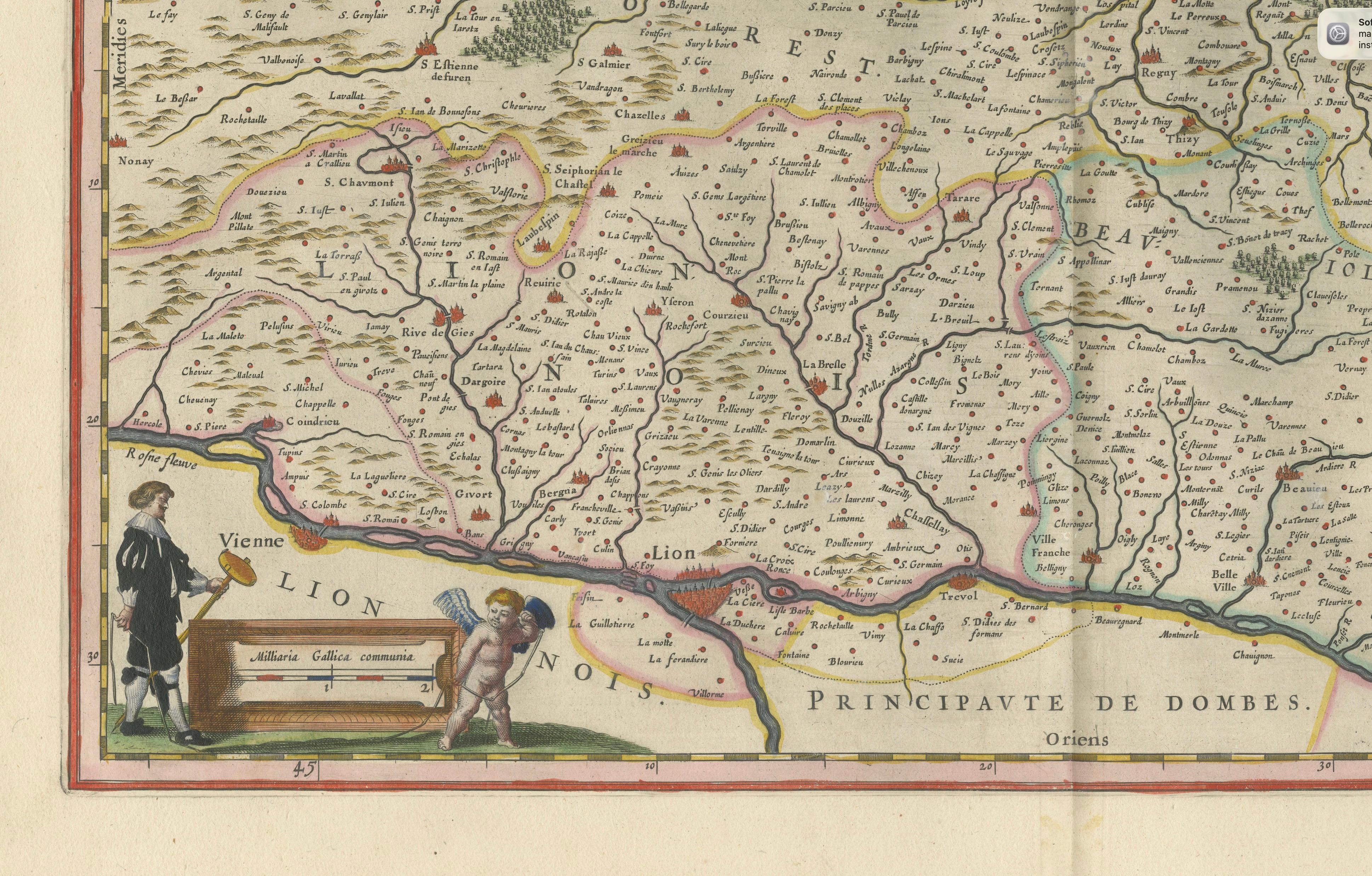
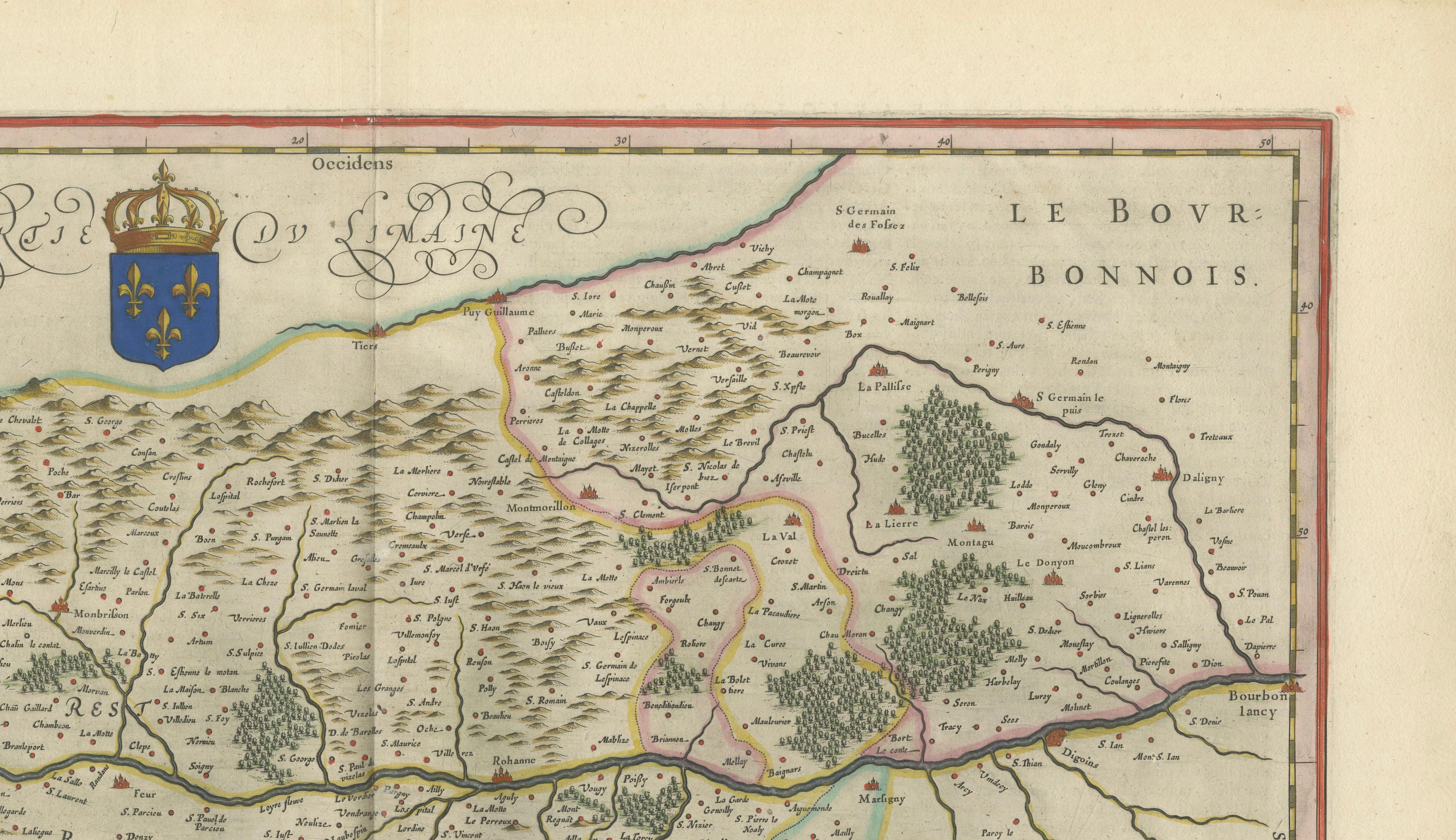
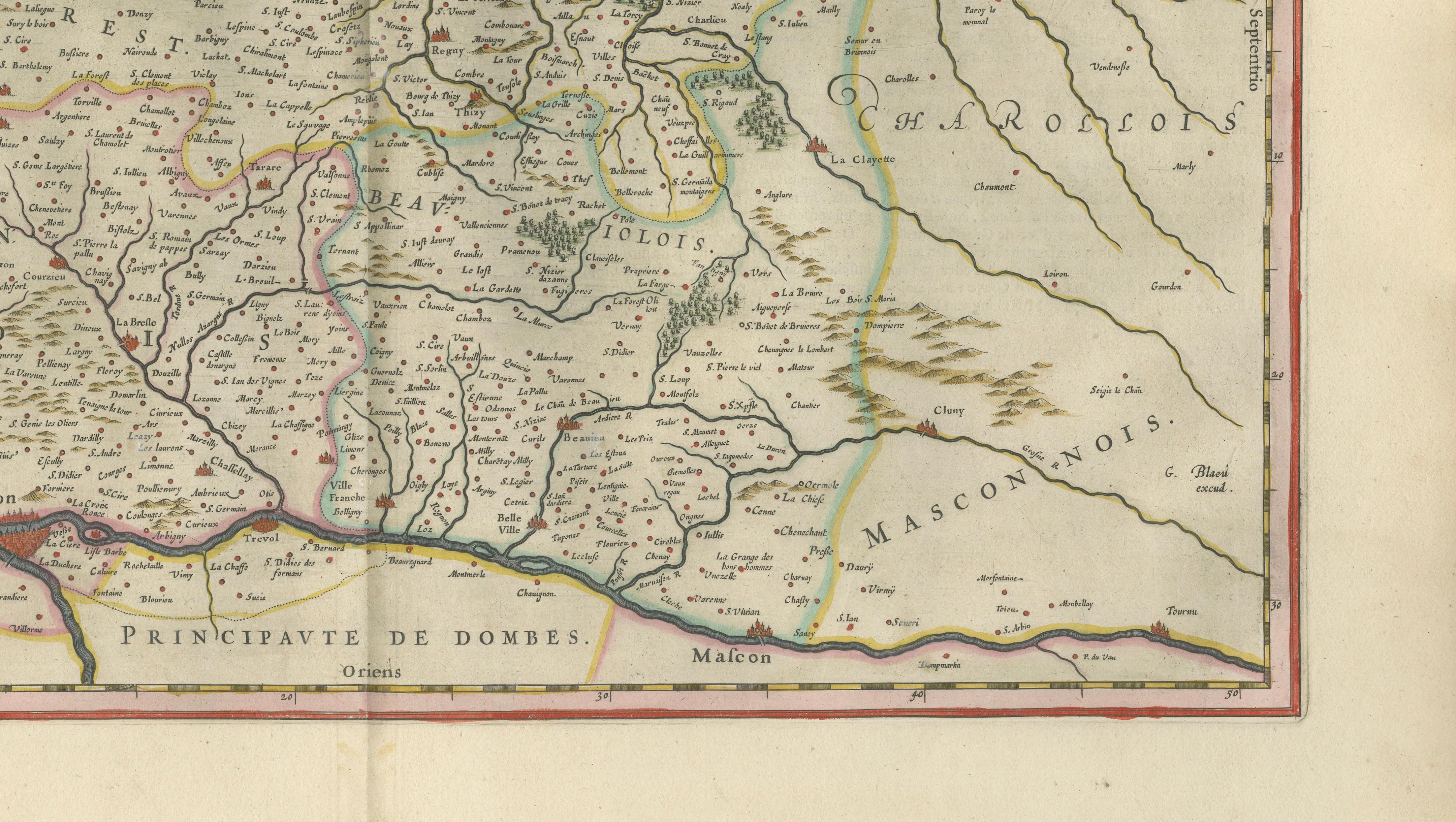
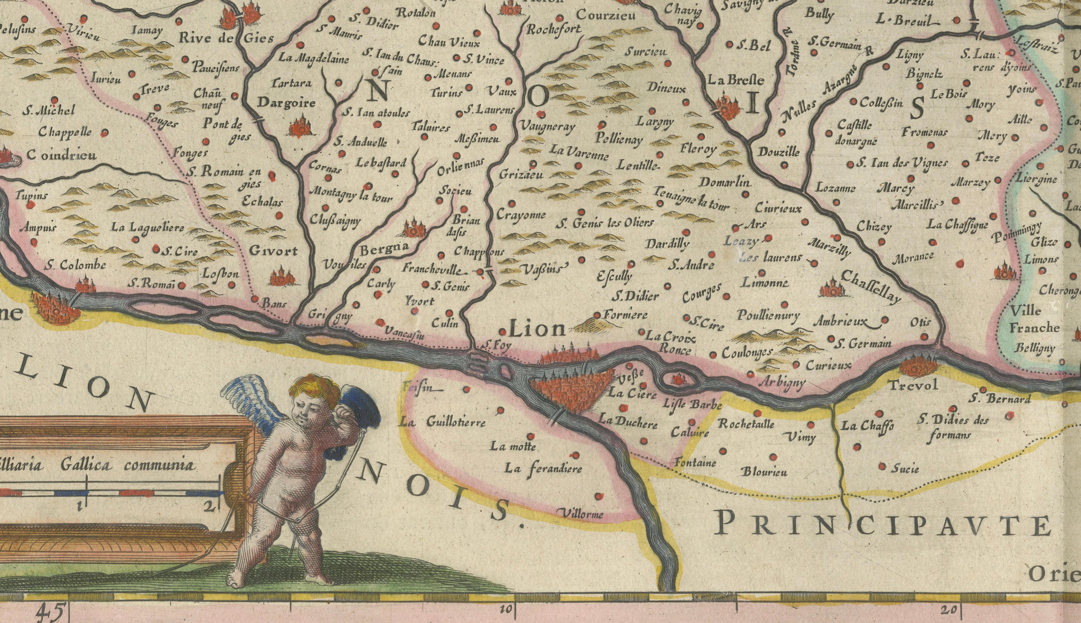
This original seventeenth-century map depicts the historic French regions of Lyonnais, Forez, Beaujolais and Mâconnais. The city of Lyon appears near the lower center, surrounded by numerous towns, rivers, forests, mountain ranges and clearly delineated regional boundaries. The map also covers several areas now internationally associated with French wine and gastronomy. Beaujolais is celebrated principally for its red wines, while the Mâconnais forms the southernmost part of Burgundy and includes distinguished appellations such as Pouilly-Fuissé, Saint-Véran, Viré-Clessé, Pouilly-Loché and Pouilly-Vinzelles. Lyon itself is renowned for its culinary traditions, including quenelles, Lyonnais sausages, saucisson brioché and praline tart. These regional associations give the map particular appeal to collectors interested in French wine, gastronomy and culinary history.
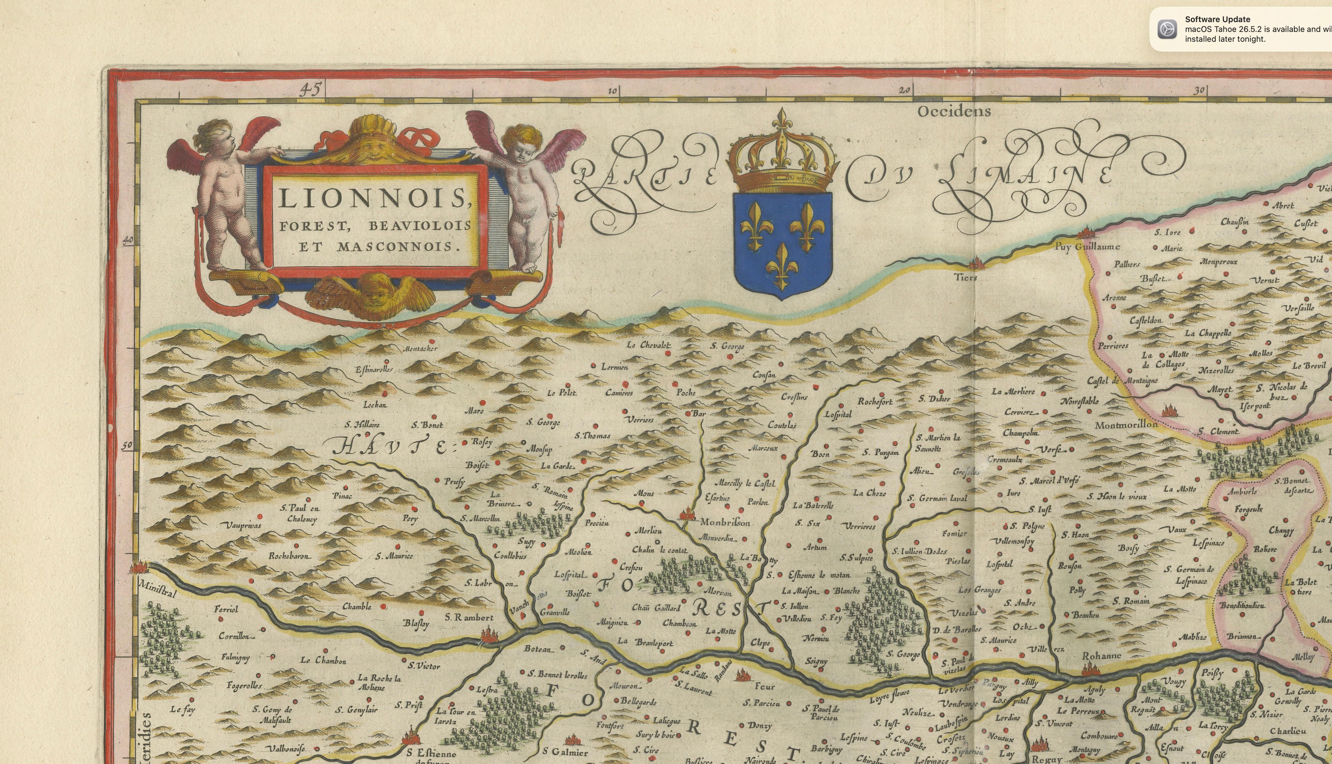
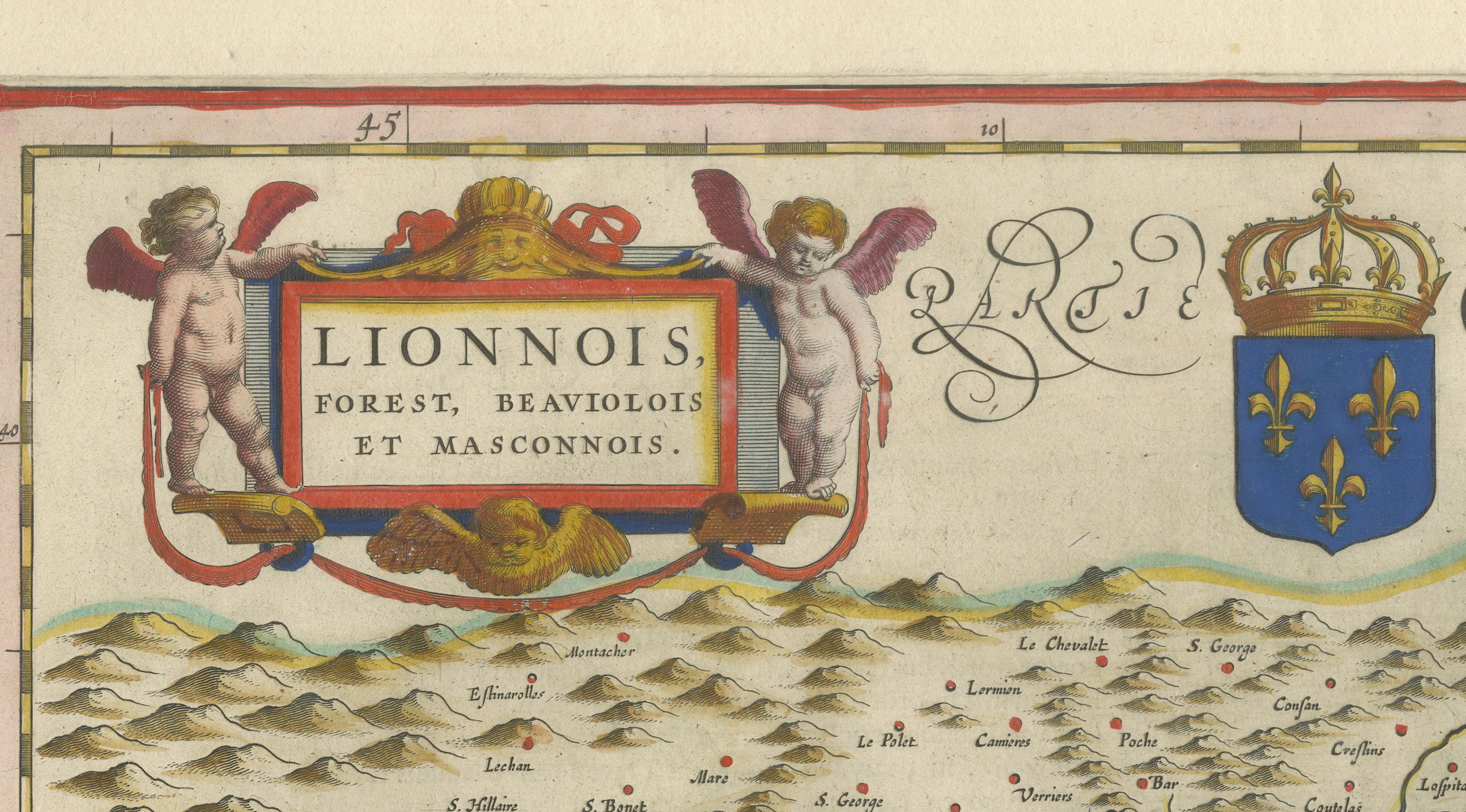
The map bears the title “Lionnois, Forest, Beaujolois et Masconnois.” It is attributed to the renowned Dutch cartographer Willem Janszoon Blaeu and dates to circa 1642. Institutional records likewise identify the map as a work by Blaeu dating from approximately 1642.
The composition is enriched with finely engraved decorative details. The title cartouche in the upper-left corner is supported by putti, while the royal arms of France appear above the map. A second cartouche in the lower-left corner contains a scale and decorative figures.
Willem Janszoon Blaeu was one of the leading cartographers and publishers of the Dutch Golden Age. His maps are admired for their detailed engraving, balanced compositions and decorative refinement. After his death in 1638, the Blaeu publishing house continued under his sons.
This map would make an impressive addition to a collection of French regional cartography, Dutch Golden Age maps or seventeenth-century engravings. It would also form a striking decorative focal point in a library, study or refined interior.
Title: Lionnois, Forest, Beaujolois et Masconnois
Place of publication: Amsterdam
Subject: Lyonnais, Forez, Beaujolais and Mâconnais, France
Condition: The map shows age-related toning, a central atlas fold and minor signs of handling consistent with its age. Please examine the photographs carefully, as they form part of the condition description.
This is an original seventeenth-century copperplate engraving and not a modern reproduction. Any images showing the map framed are for visual inspiration only. The map is supplied unframed.