About this sheet
Parthian Empire Map, Arsacid Persia & Bactria, Wilkinson London 1817
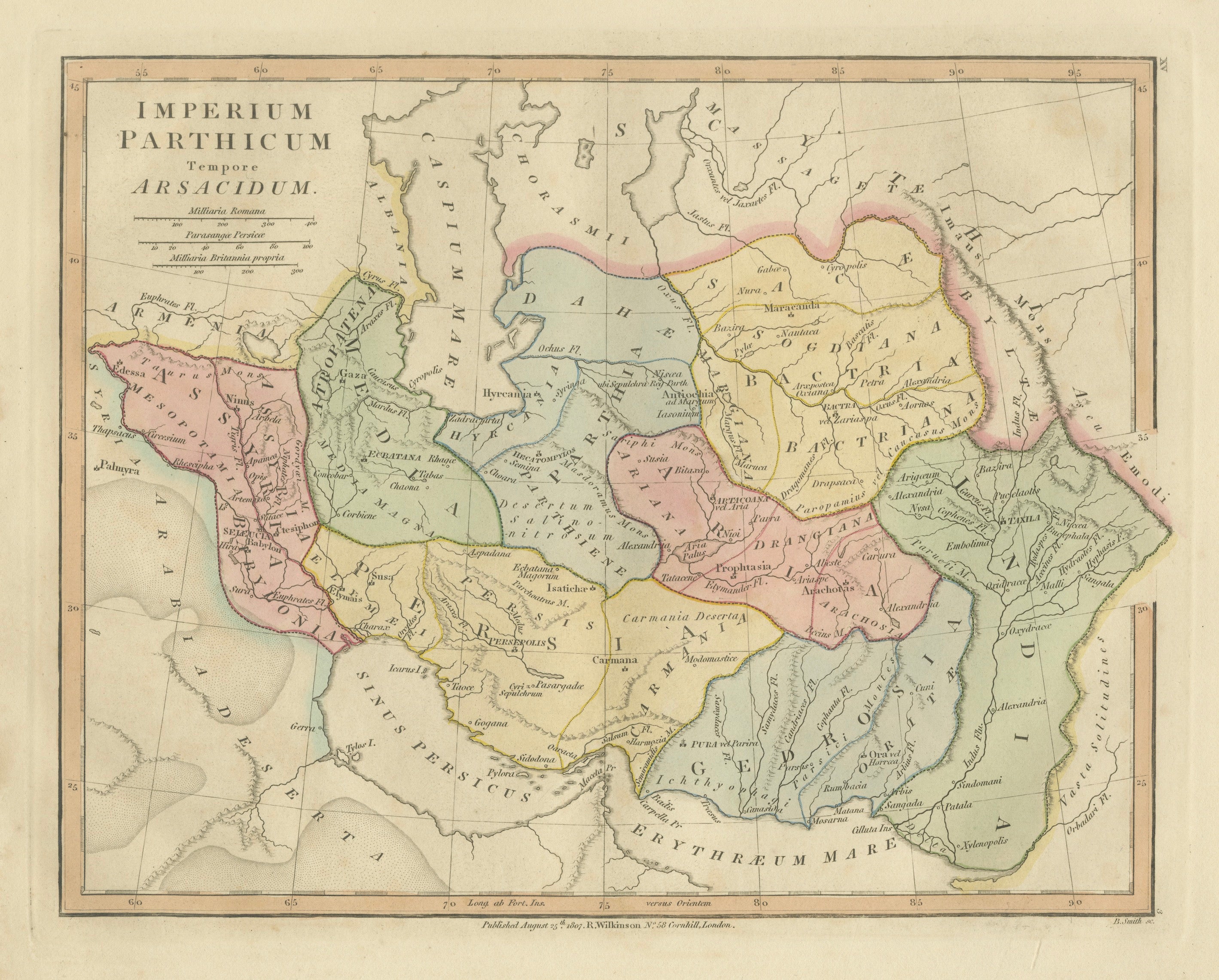
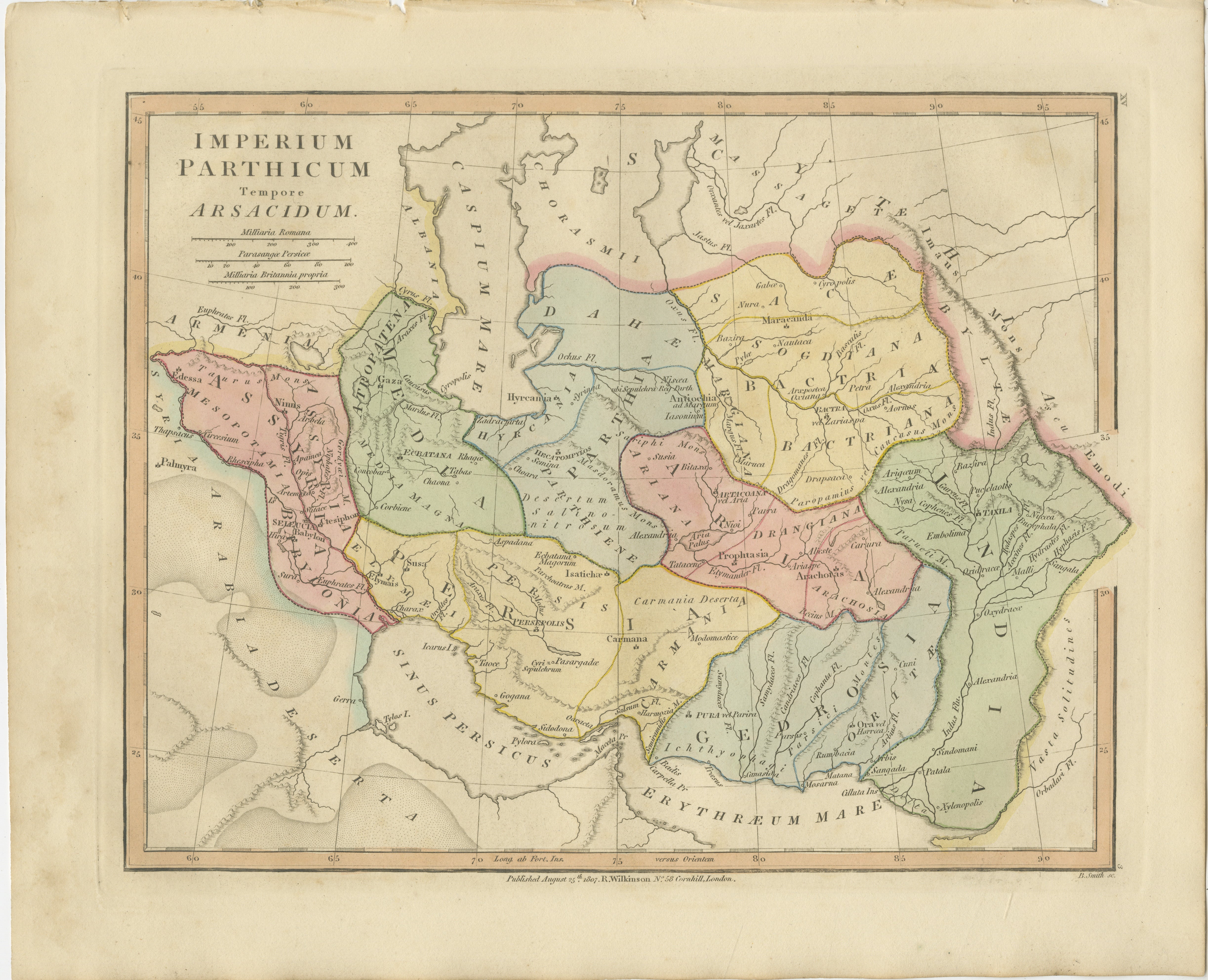
This finely engraved and delicately hand-colored map depicts the Parthian Empire at the height of the Arsacid dynasty, offering a detailed view of one of the most powerful and enduring empires of the ancient Near East. Published in London in 1817 by Robert Wilkinson as part of his Atlas Classica, the map was intended as a scholarly aid for students and readers of classical history, illuminating the geography described by ancient sources.
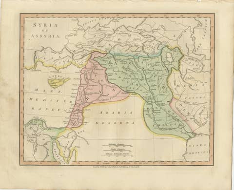
Titled Imperium Parthicum tempore Arsacidarum, the map presents a wide-ranging view from the eastern Mediterranean and Mesopotamia across Persia to Bactria and the borders of India. Regions such as Media, Hyrcania, Parthia, Carmania, Gedrosia, and Arachosia are clearly delineated and enhanced with subtle original hand coloring. The Caspian Sea, Persian Gulf (Sinus Persicus), and surrounding deserts and mountain ranges are rendered with precision, providing valuable insight into the geographical framework of the Parthian world.
Numerous ancient cities and settlements are identified, including important centers such as Seleucia, Ctesiphon, Ecbatana, and Hecatompylos, reflecting the political and cultural significance of the region. The map also highlights the vast territorial span of the Parthian Empire, which acted as a crucial bridge between the Roman world and the civilizations of Central Asia and India, controlling key trade routes along what would later be known as the Silk Road.
Engraved with clarity and elegance, the sheet exemplifies the refined cartographic style of early nineteenth-century British mapmaking. The soft pastel palette, crisp typography, and balanced composition give the map both academic authority and strong decorative appeal, making it equally suited for scholarly collections and interior display.
A compelling piece for collectors of ancient history, Persian and Central Asian cartography, or decorative antique maps, this map offers a fascinating window into the geopolitical landscape of antiquity.
Condition: Very good with original hand color. Light age toning and minor wear consistent with age. Margins well preserved. Plate mark visible.
Framing tips: Particularly effective in a dark walnut or ebonized frame with a wide ivory or warm off-white mat. Ideal for a study, library, or refined interior; pairs well with other classical or Near Eastern maps.
This is an original 19th-century engraving, not a reproduction. All items we offer are authentic period works of art over 100 years old. The map is sold unframed; any framed images are shown for presentation and interior inspiration only.
Keywords: Parthian Empire map, Arsacid dynasty map, ancient Persia map, Bactria map, Media Hyrcania map, Mesopotamia antique map, Seleucia Ctesiphon, Ecbatana map, Silk Road regions, Caspian Sea map, Persian Gulf map, Sinus Persicus, Atlas Classica, Robert Wilkinson map, 1817 antique map, classical geography, ancient Near East map, copperplate engraving, hand colored map, British atlas engraving, London published map, early 19th century map, decorative antique map, scholarly atlas, collectors map, interior wall art, neoclassical decor, museum quality map
Technique: Copperplate engraving with original hand color
Maker: Robert Wilkinson, London, 1817 (engraved by E. Bourne)