About this sheet
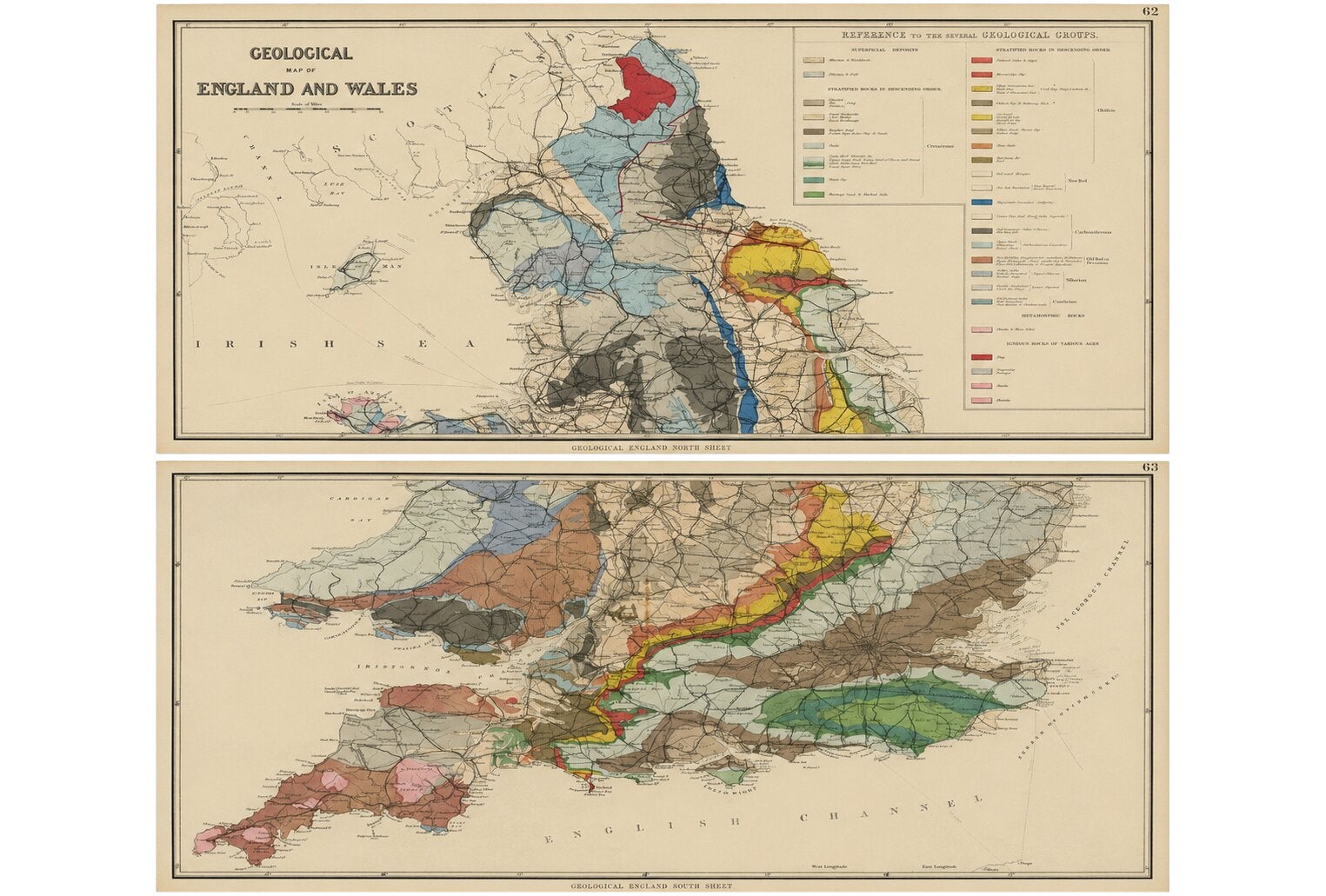
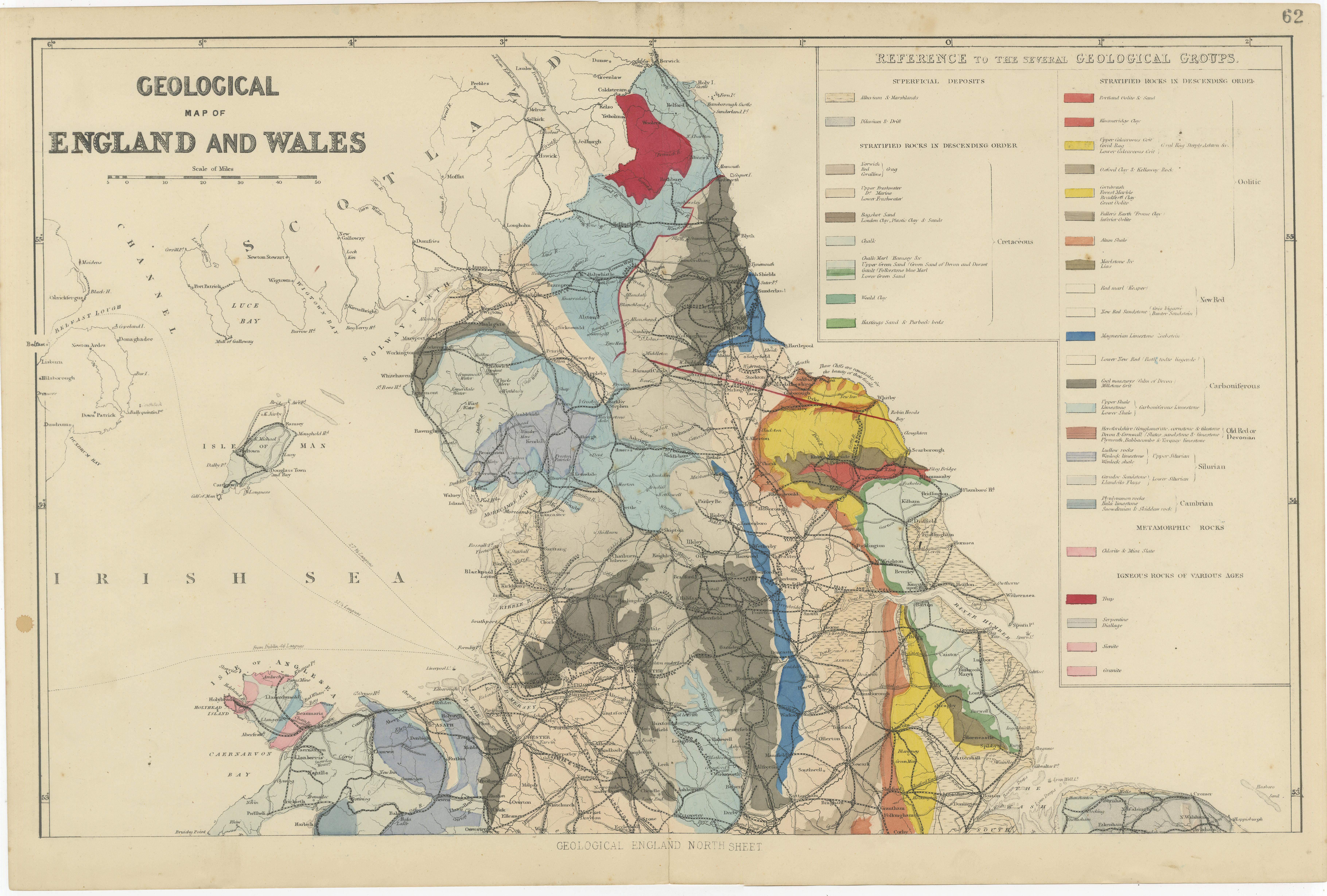
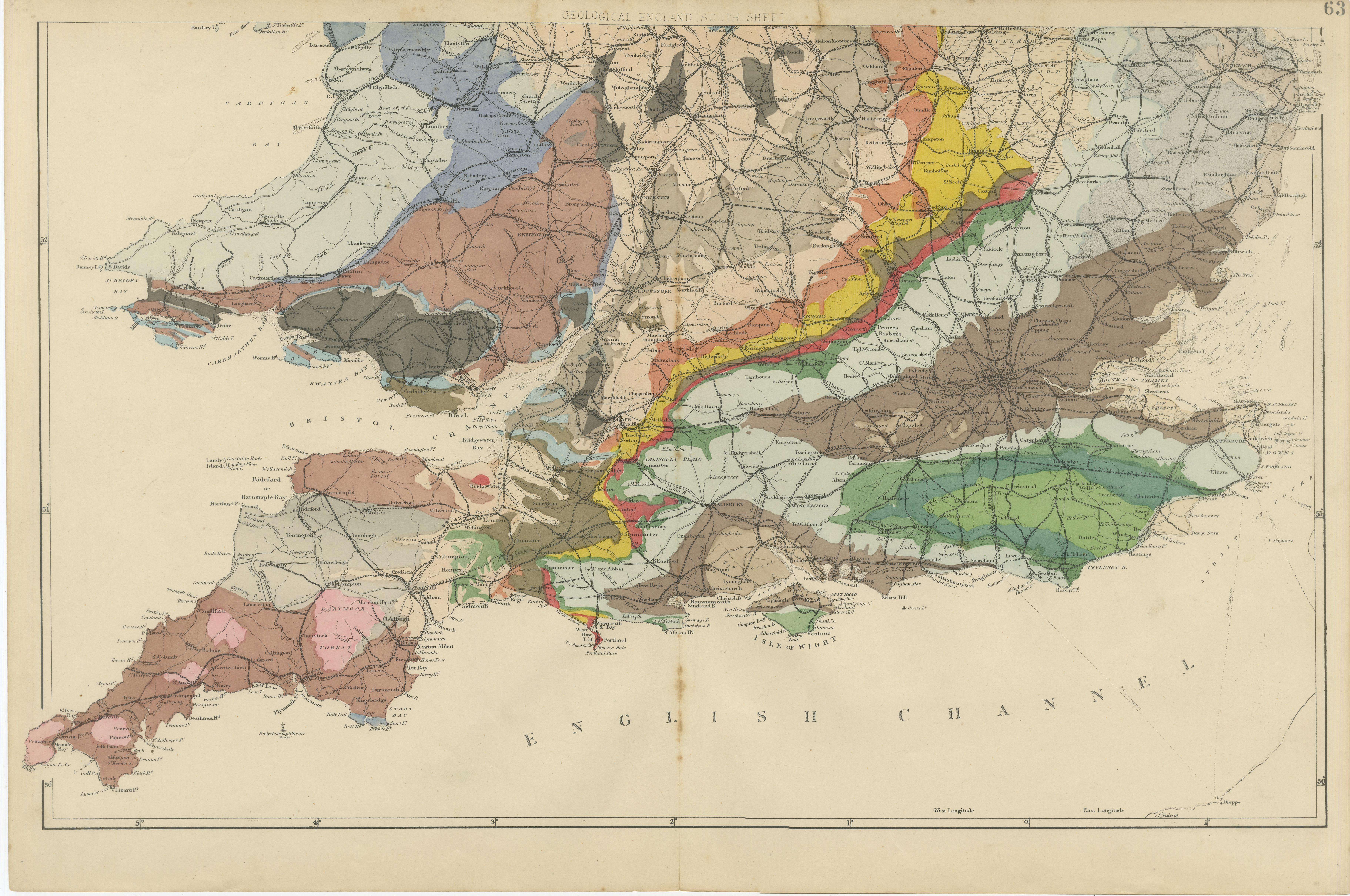
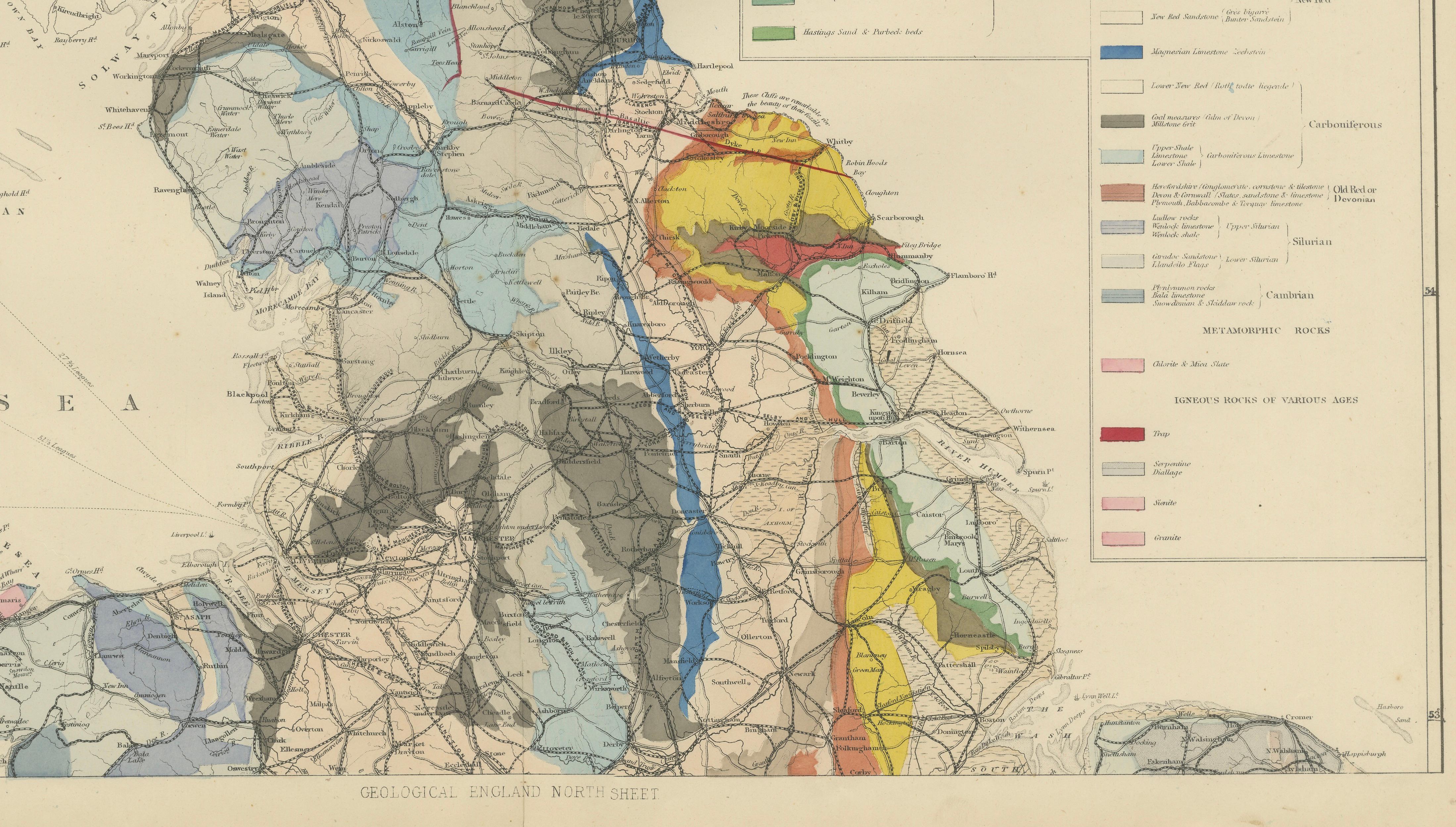
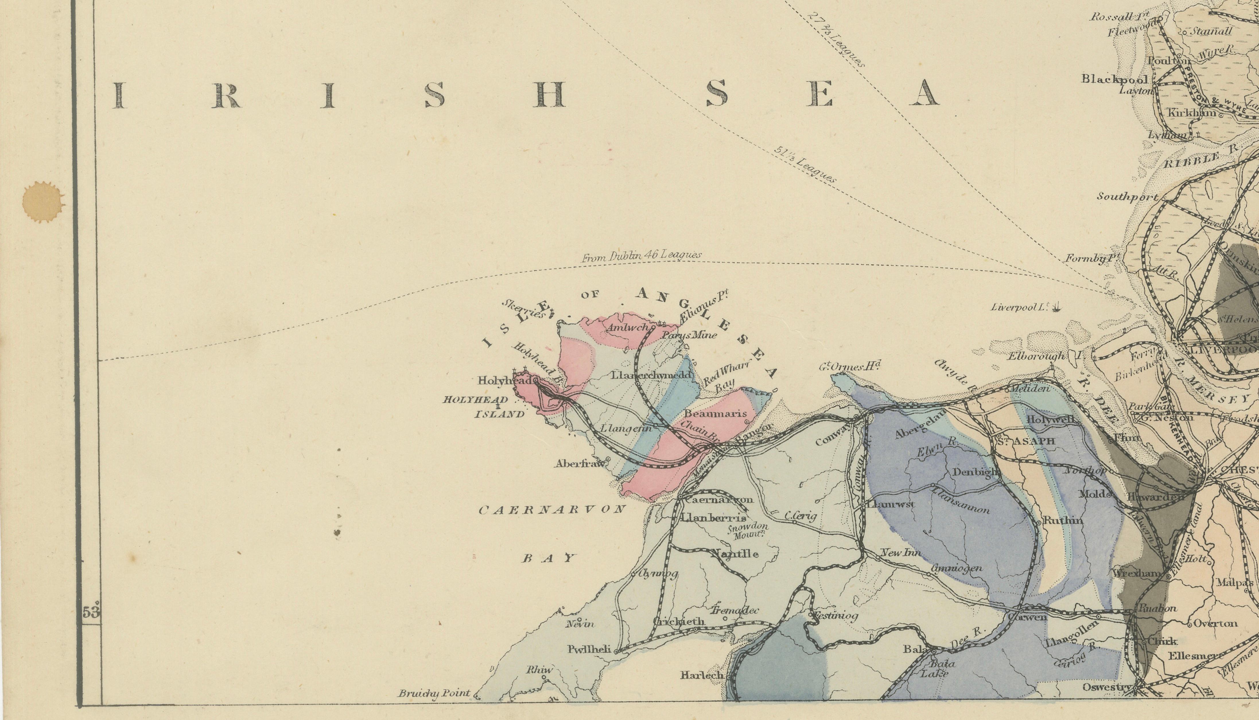
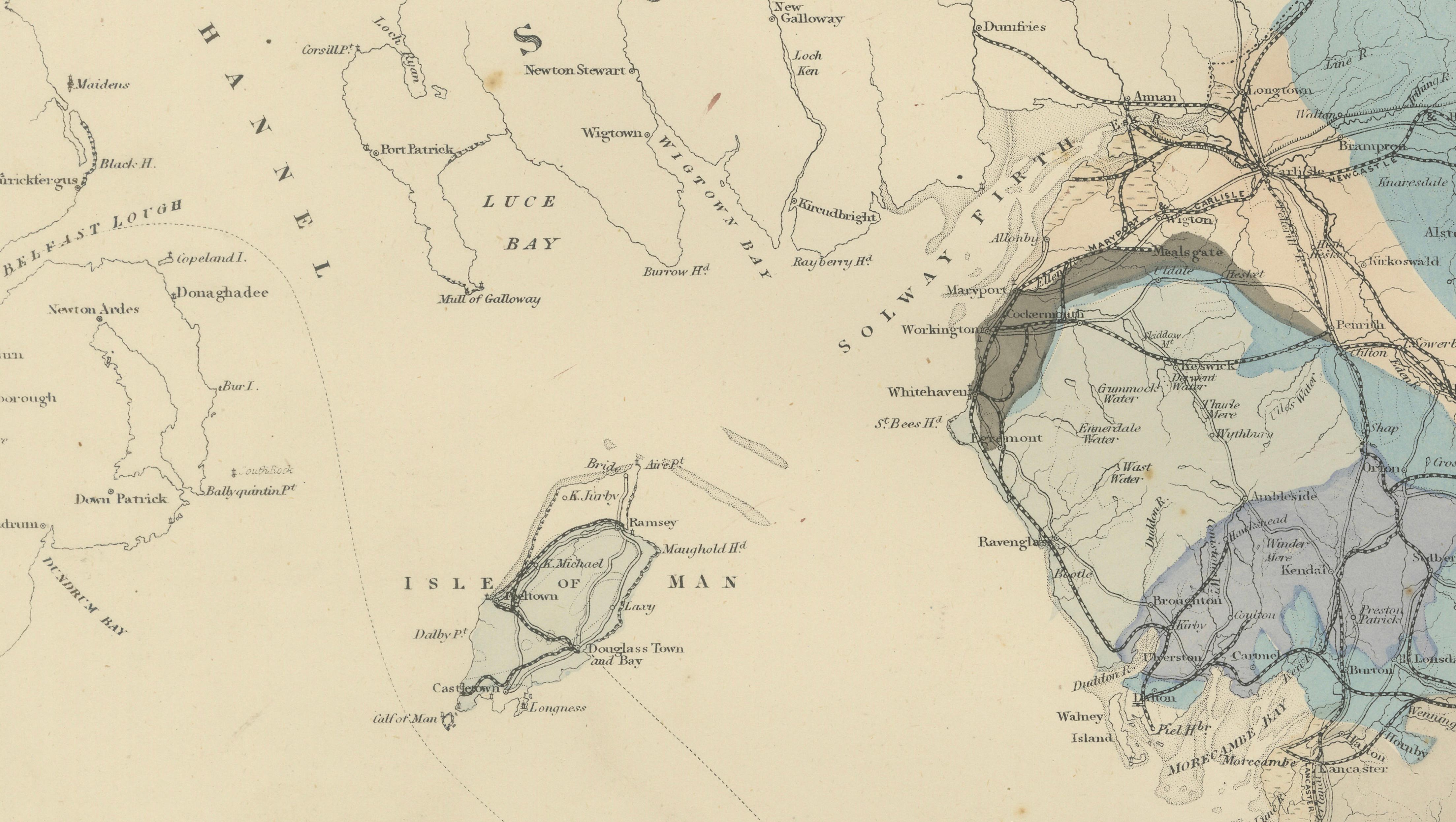
This remarkable original Victorian geological map set presents the complete geological structure of England and Wales across two large matching sheets. Published around 1880, the maps combine scientific accuracy with the visual elegance characteristic of nineteenth-century cartography. Carefully engraved and enhanced with original hand coloring, they illustrate the distribution of geological formations, mineral deposits, transportation networks, rivers, coastlines, and principal towns throughout England and Wales.
The pair was produced during the golden age of British geology, when the study of rock formations and mineral resources became essential to industrial development. During the nineteenth century, Britain led the world in geological research, and maps such as these were vital tools for engineers, miners, railway companies, surveyors, and academics. The detailed geological classifications shown here reflect the rapidly advancing understanding of Earth's history during the Victorian period.
The northern sheet covers northern England, Wales, and the Isle of Man, while the southern sheet extends across the Midlands, London, the South Coast, Devon, Cornwall, and the English Channel. Together they create a comprehensive scientific portrait of the geological foundations of Britain. Distinctive color bands identify formations ranging from Cambrian and Silurian rocks through Carboniferous coal-bearing strata, Jurassic formations, Cretaceous chalk deposits, and more recent surface deposits.
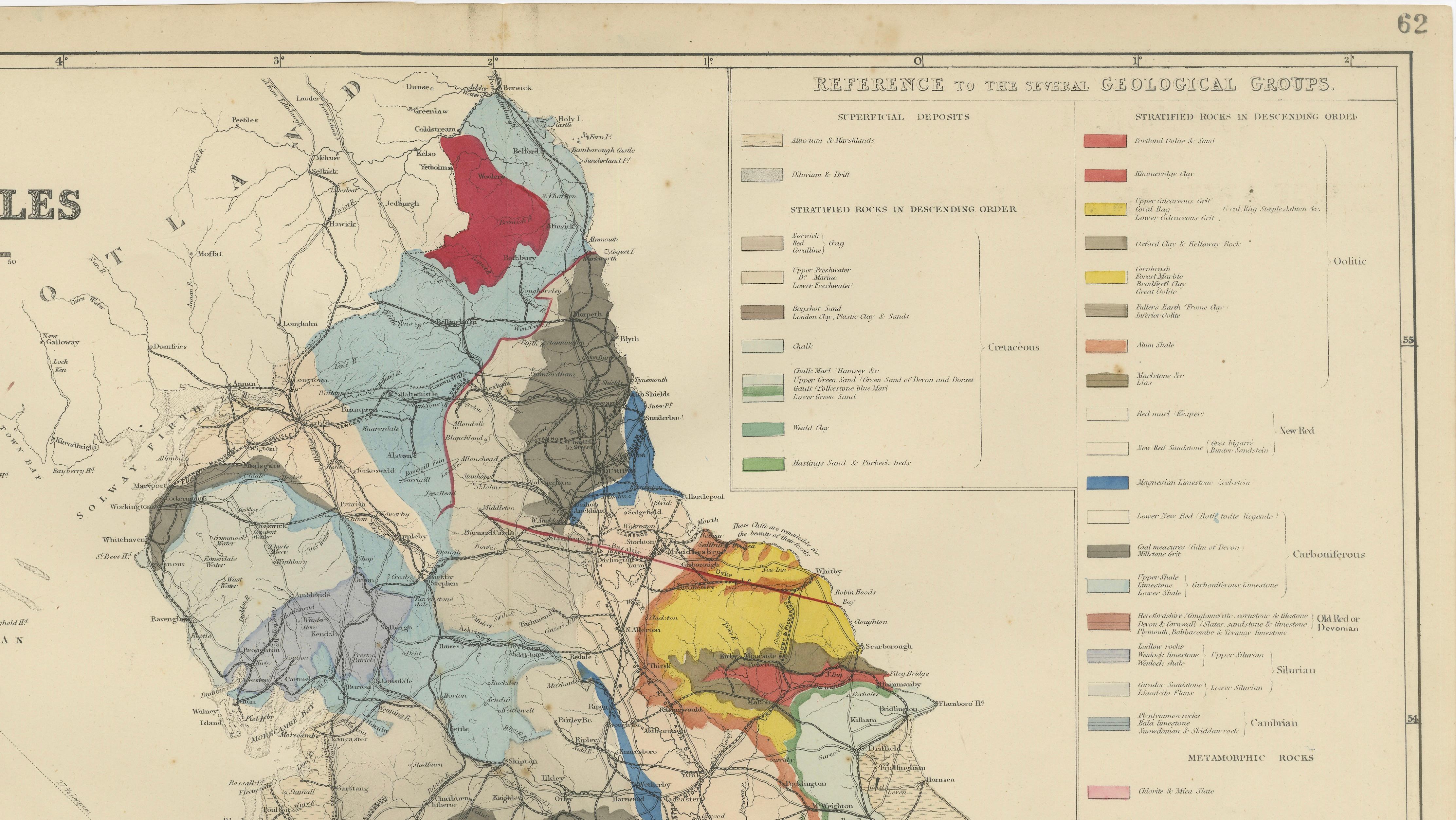
Particularly impressive is the extensive geological reference panel, which identifies the various formations and mineral deposits represented on the maps. The vibrant hand coloring transforms complex geological information into an attractive visual display, making these maps equally appealing to collectors of antique maps, scientific instruments, mining history, industrial heritage, and Victorian decorative arts.
Today, complete geological map sets of England and Wales are increasingly sought after for their combination of scientific importance, historical significance, and decorative appeal. Whether displayed in a study, library, office, university department, or country house, this pair provides a fascinating record of nineteenth-century scientific knowledge and one of the most influential periods in British geological exploration.
Condition report:
Good antique condition with age-related toning, scattered foxing, and minor handling wear consistent with age. Original center folds as issued. The original hand coloring remains attractive and well preserved. Please study the photographs carefully for the most accurate impression of condition.
Framing tips:
These maps are ideally displayed as a matching pair in identical frames with ivory or museum-white mats. Dark walnut, black, or antique gilt frames beautifully complement the Victorian coloring and engraving. Framed side-by-side, they create an impressive statement piece for a study, office, library, or geology collection.
This offering is for a pair of original nineteenth-century geological maps, not modern reproductions. Any framed room visualizations are intended solely to illustrate potential display options and may not accurately represent the maps' exact scale relative to the frame or interior setting. The maps are sold unframed.
Technique: Engraving with original hand color
Maker: British cartographer and publisher, England, circa 1880.