About this sheet
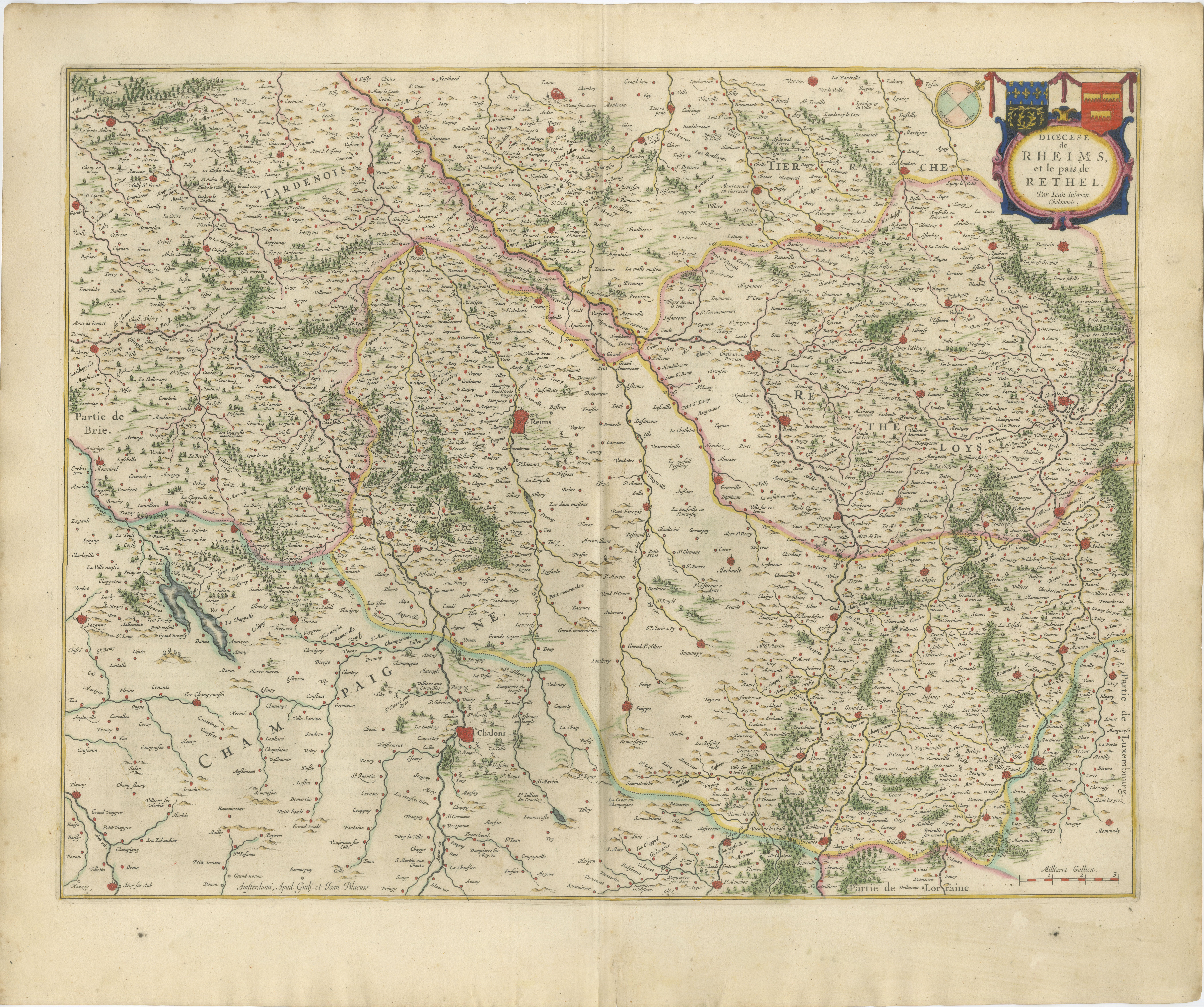
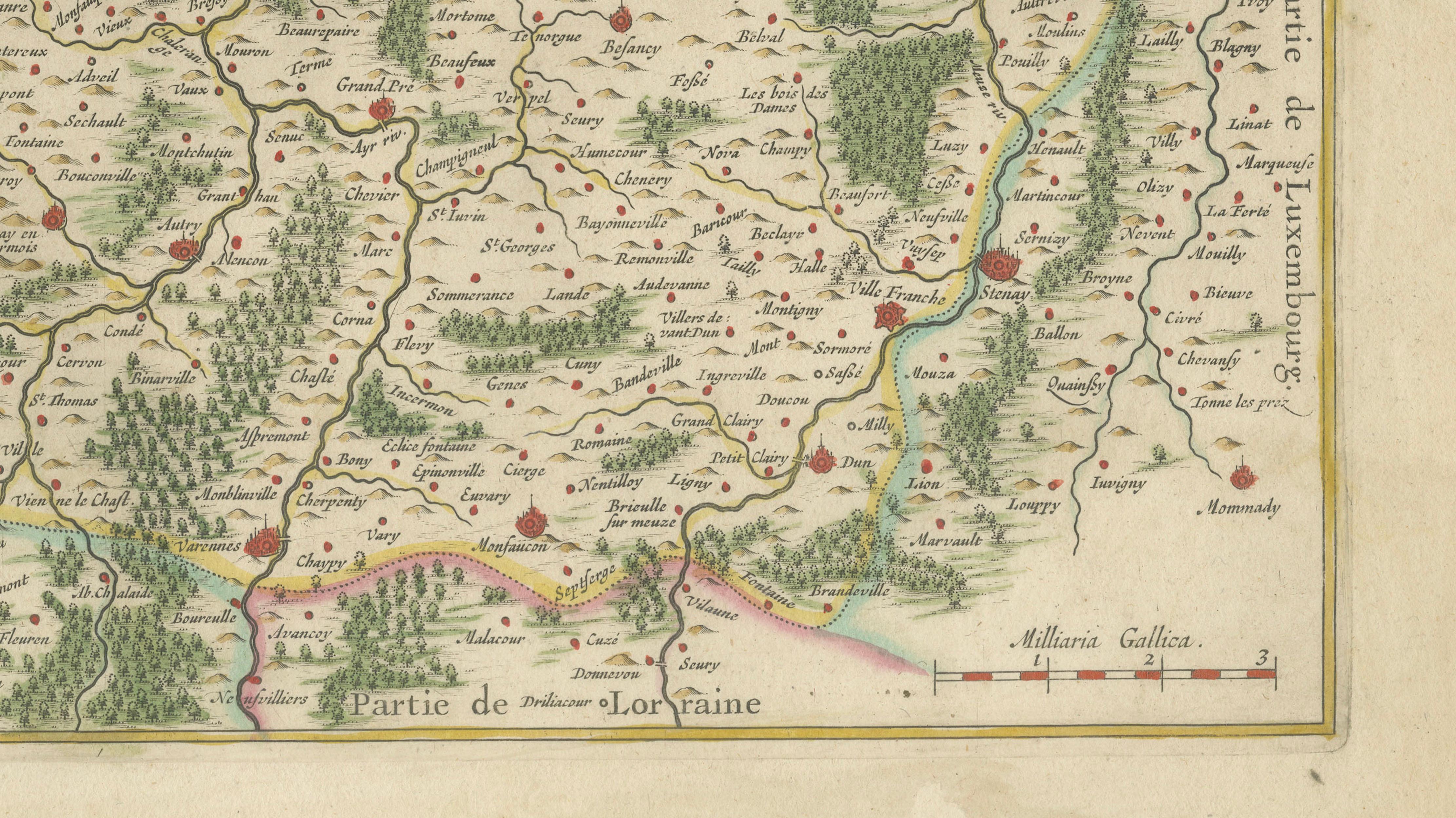
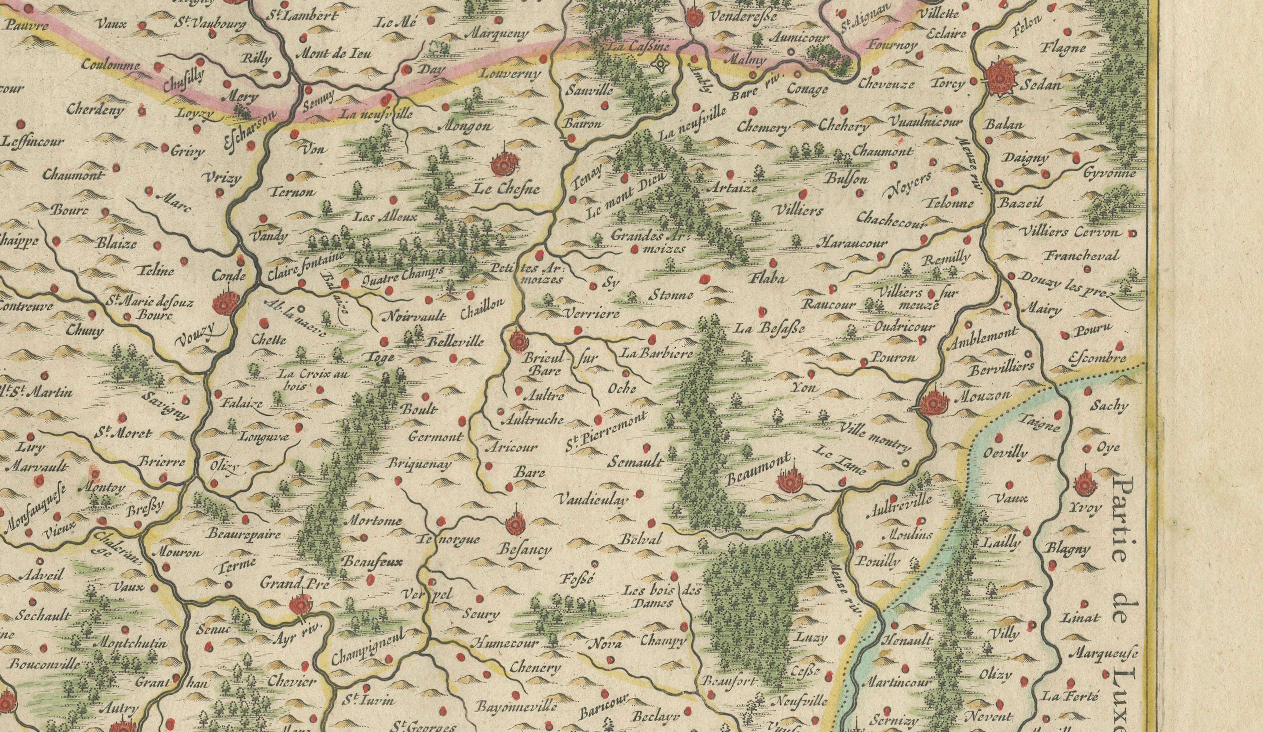
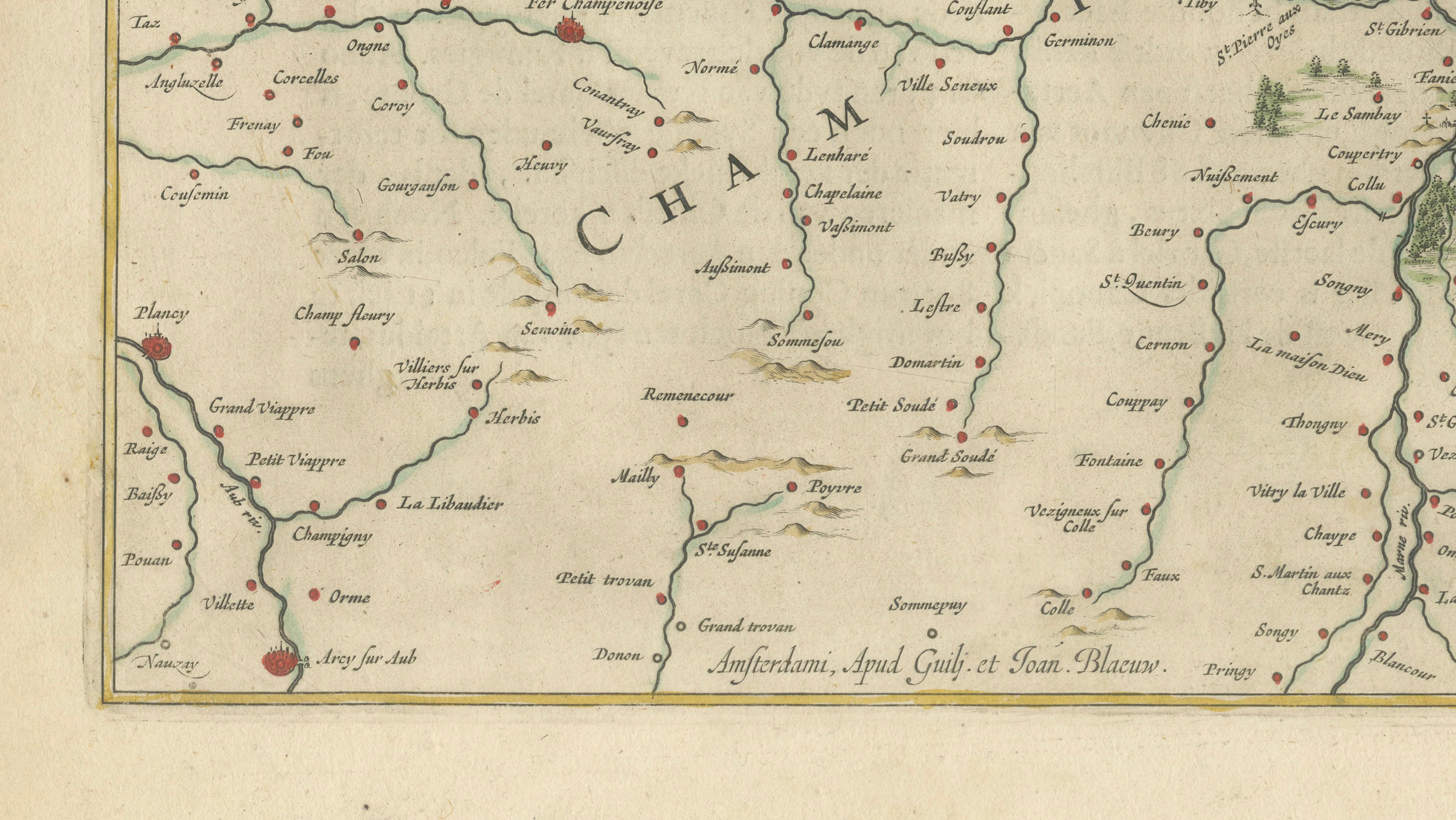
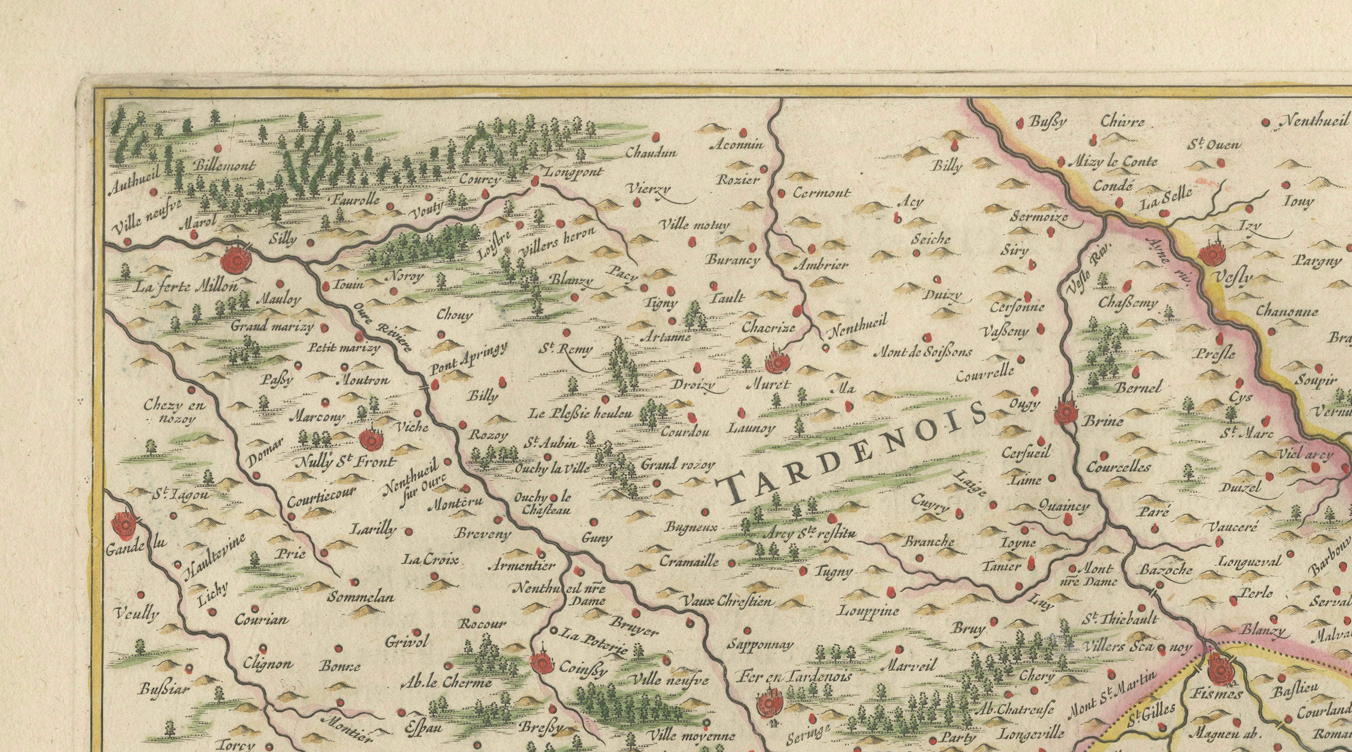
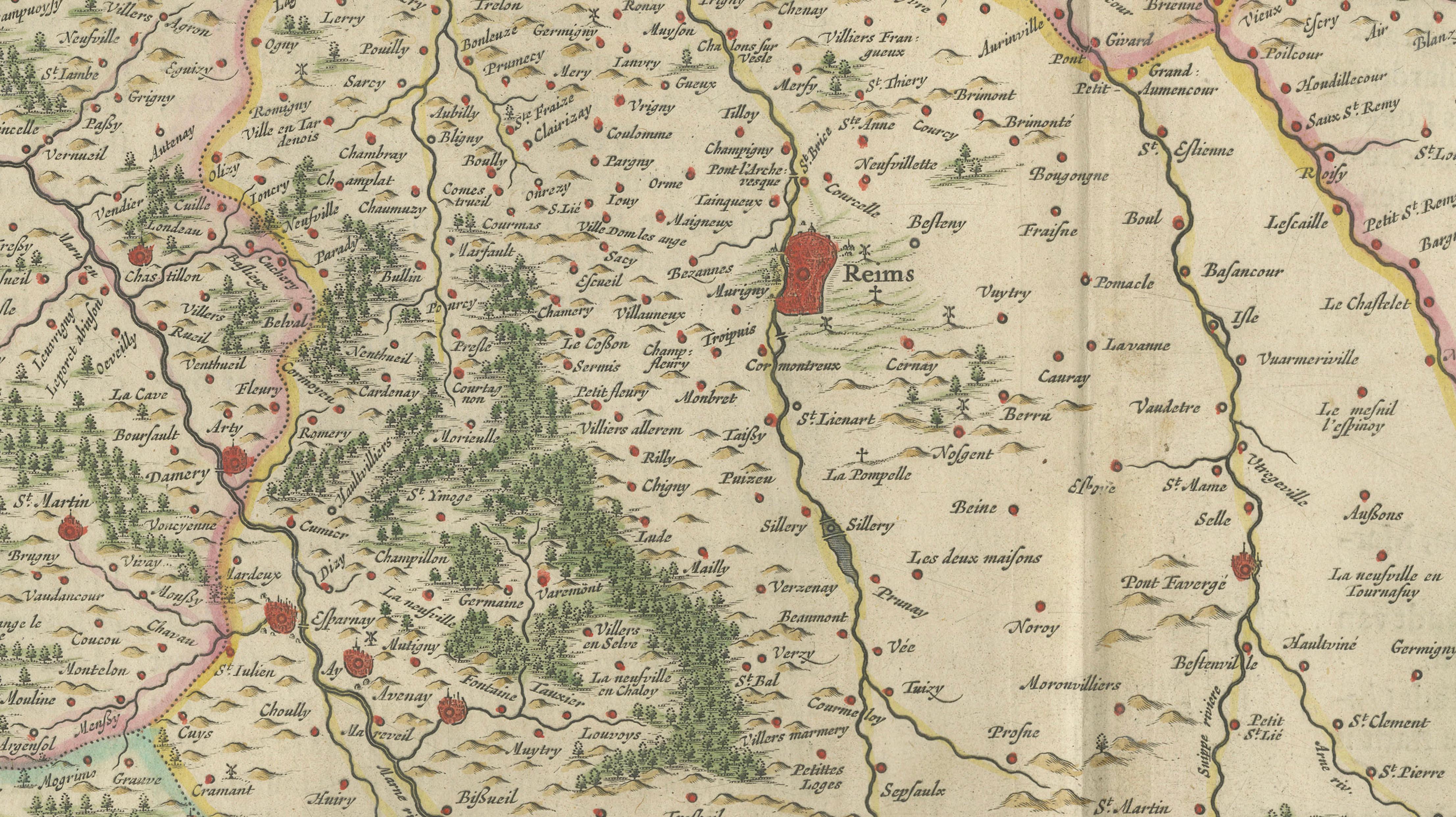
An elegant and highly detailed antique map depicting the Diocese and region of Reims and Rethel in northeastern France, engraved and published by Willem and Joan Blaeu during the Dutch Golden Age of cartography. The map forms part of the celebrated atlas Toonneel des Aerdrycx, among the most luxurious and influential atlases produced in 17th-century Europe.
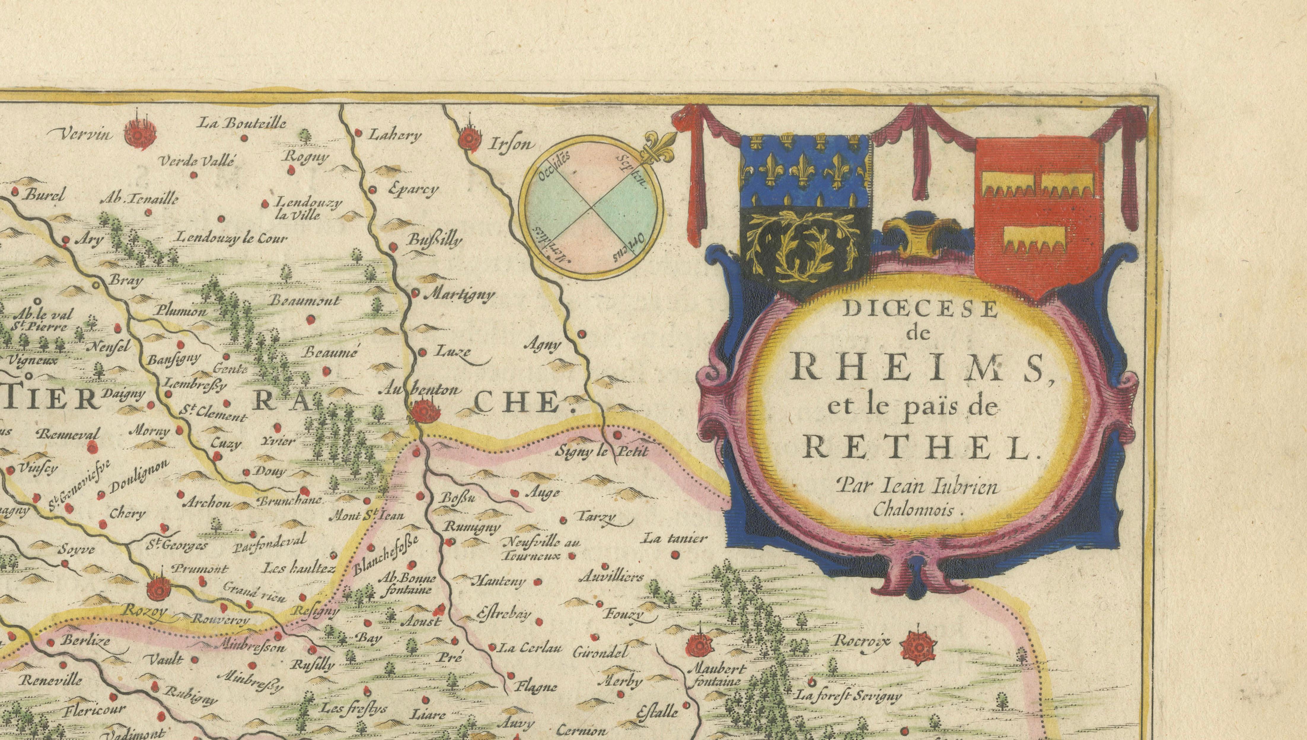
The map focuses on the historic territories surrounding Reims, Rethel, Châlons, and the Champagne region, presenting a dense network of villages, rivers, forests, roads, and ecclesiastical boundaries rendered with exceptional engraving precision. Decorative elements include an ornate title cartouche in the upper right corner featuring heraldic arms and delicate hand coloring, characteristic of Blaeu’s refined artistic style.
Reims, prominently shown near the center, was historically one of the most important cities in France and served as the traditional coronation city of French kings. The broader region later became internationally renowned as the birthplace of Champagne wine production, adding additional appeal for collectors interested in wine history and French cultural heritage.
Produced by Willem and Joan Blaeu in Amsterdam during the height of the Dutch Golden Age, this map reflects the remarkable combination of scientific geography and decorative artistry that established the Blaeu publishing house as Europe’s leading cartographic dynasty. Blaeu atlases were highly prized by aristocrats, merchants, scholars, and diplomats throughout Europe for both their accuracy and visual sophistication.
The original hand coloring remains delicate and attractive, with soft outline color emphasizing provincial borders and waterways. The map’s balanced composition, dense geographic detail, and elegant calligraphy make it particularly suitable for collectors of French regional cartography, Champagne-related interiors, or sophisticated decorative display.
This map offers exceptional historical atmosphere and decorative appeal, particularly for wine rooms, libraries, château interiors, hospitality spaces, or curated gallery walls.
Special note: This is an original 17th-century map, not a reproduction. All items we offer are authentic period works of art over 100 years old. The map is sold unframed; any framed images are shown for presentation and interior inspiration only and may not always be on scale with the original.
Condition report:
Good antique condition with original center fold as issued. Minor age-related toning and occasional light spotting mainly in the margins. Attractive original hand color and strong engraving impression. Wide margins preserved. Please study image carefully.
Framing tips:
This map displays beautifully in dark walnut, black lacquer, or lightly gilt frames paired with a wide ivory or oatmeal mat. Its subtle original coloring and refined cartographic detail make it especially suitable for French country interiors, wine libraries, classic studies, or elegant hospitality spaces.
Keywords:
Reims, Rethel, Champagne, Châlons, Ardennes, Brie, Lorraine, Marne Valley, Champagne vineyards, French wine region, Diocese of Reims, coronation city of France, Dom Pérignon, French provinces, antique Champagne map, Blaeu atlas, Willem Blaeu, Joan Blaeu, Dutch Golden Age cartography, Toonneel des Aerdrycx, antique map of France, 17th century engraving, historical France, decorative cartography, hand-colored map, wine collector decor, old French map, Marne, Ardenne, Rethelois, Champagne-Ardenne
Technique: Copperplate engraving with original hand coloring
Maker: Willem & Joan Blaeu, Amsterdam, circa 1642