About this sheet
Caesar’s Gallia Antiqua – Blaeu Map of Ancient France, c.1642
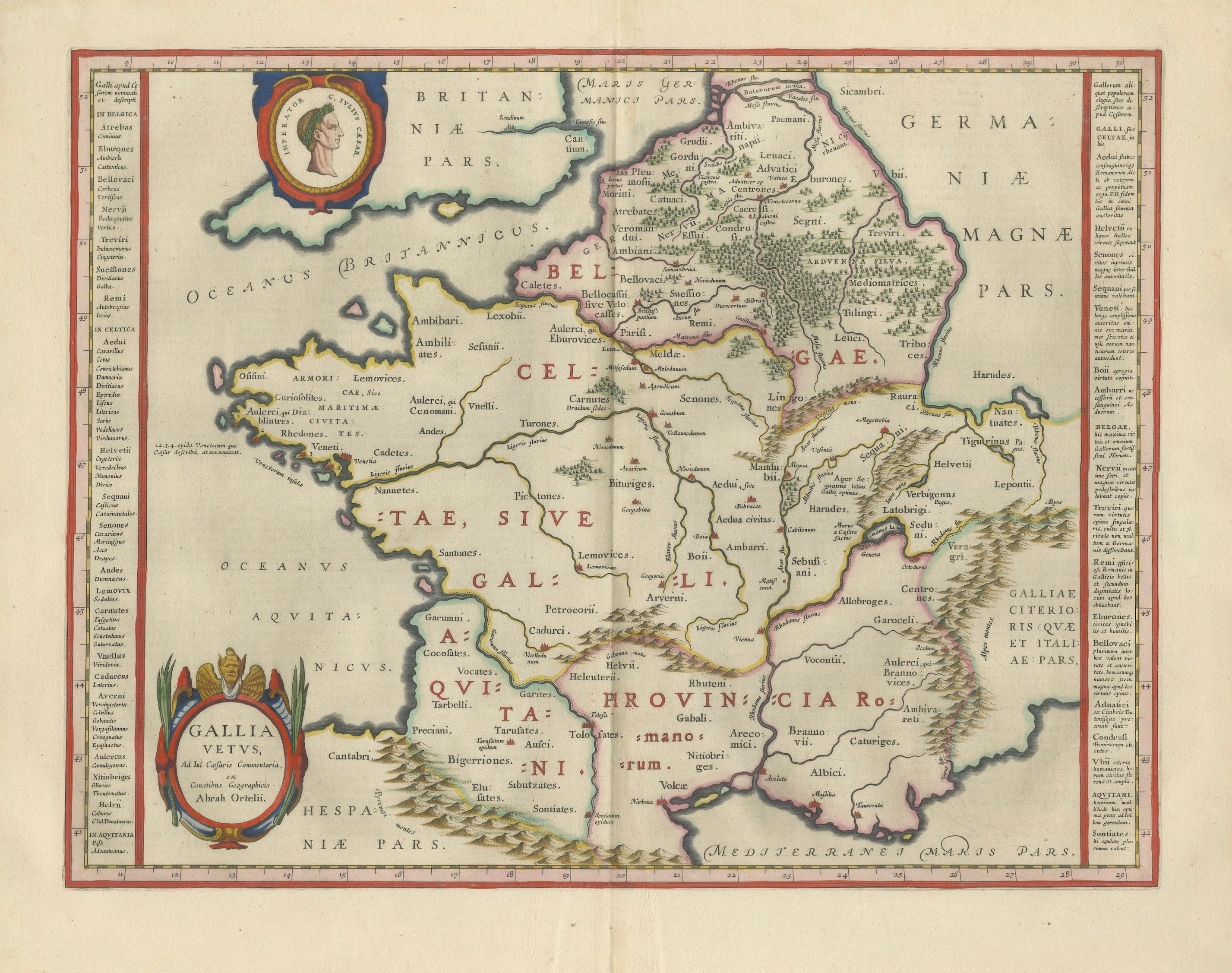
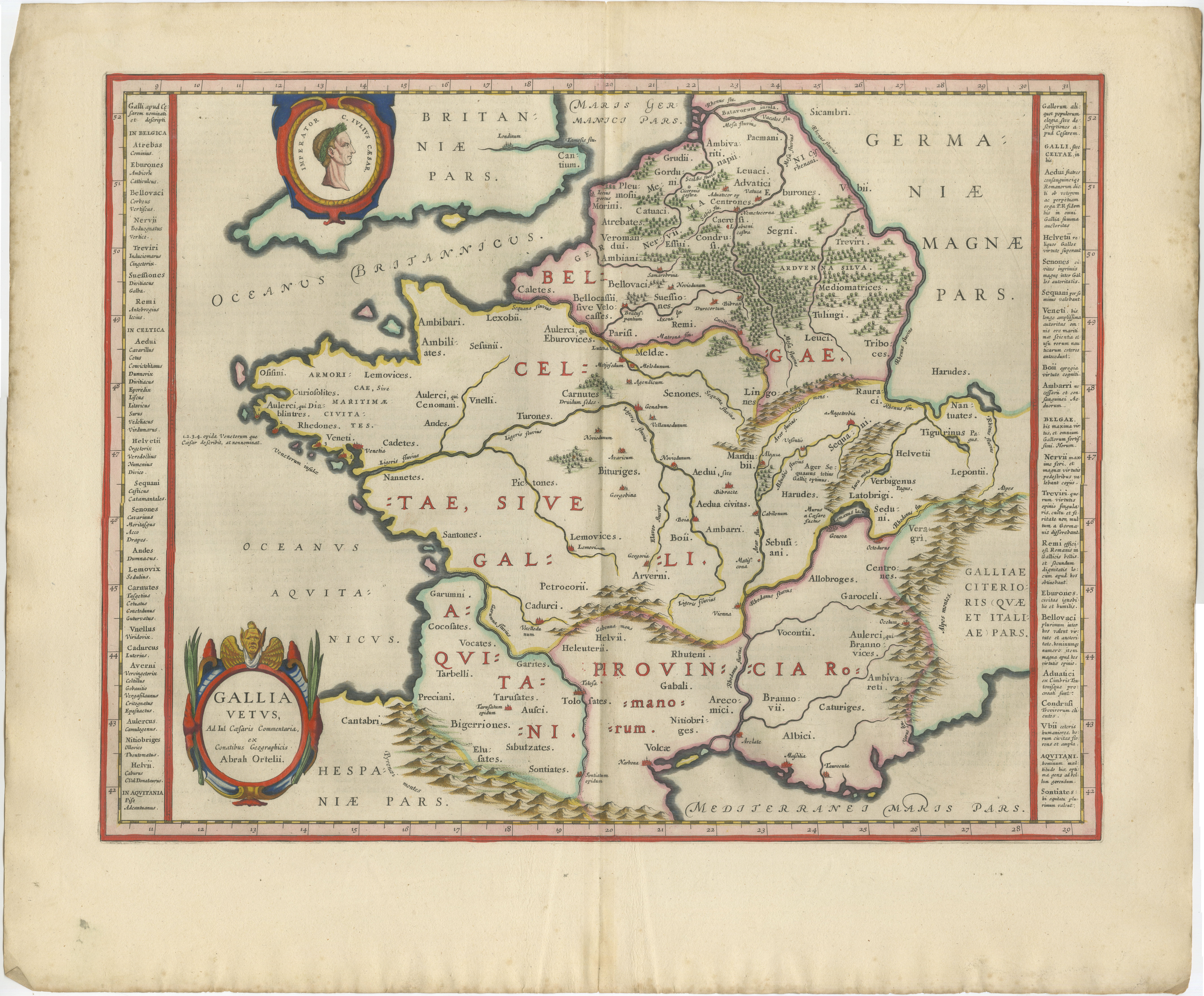
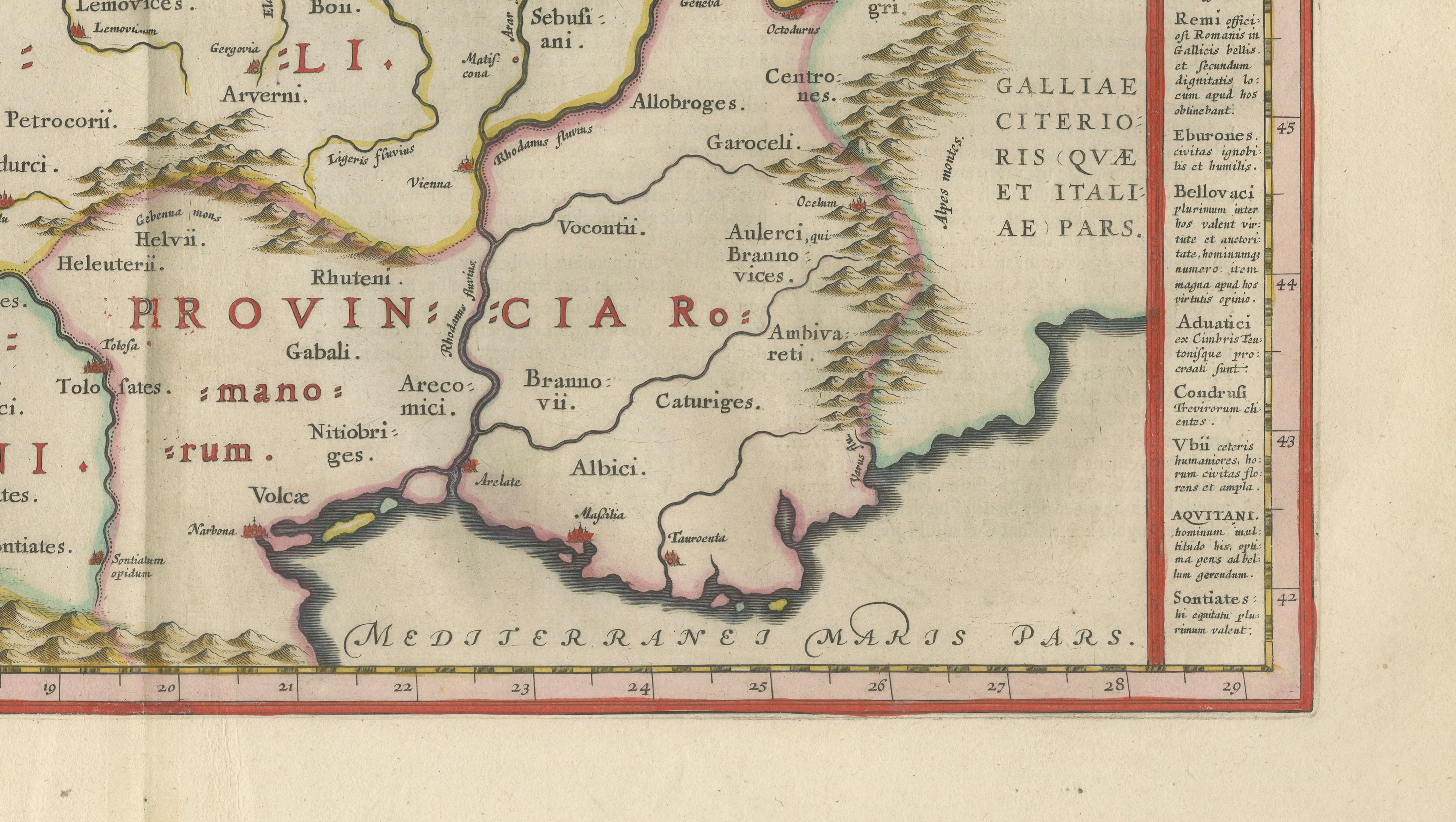
A superb and highly decorative 17th-century map of ancient Gaul, titled Gallia Vetus, published by Willem and Joan Blaeu in Amsterdam around 1642. This finely engraved composition draws directly from the historical geography of Julius Caesar’s Commentarii de Bello Gallico, presenting the Roman-era divisions of Gaul with remarkable clarity and artistic refinement.
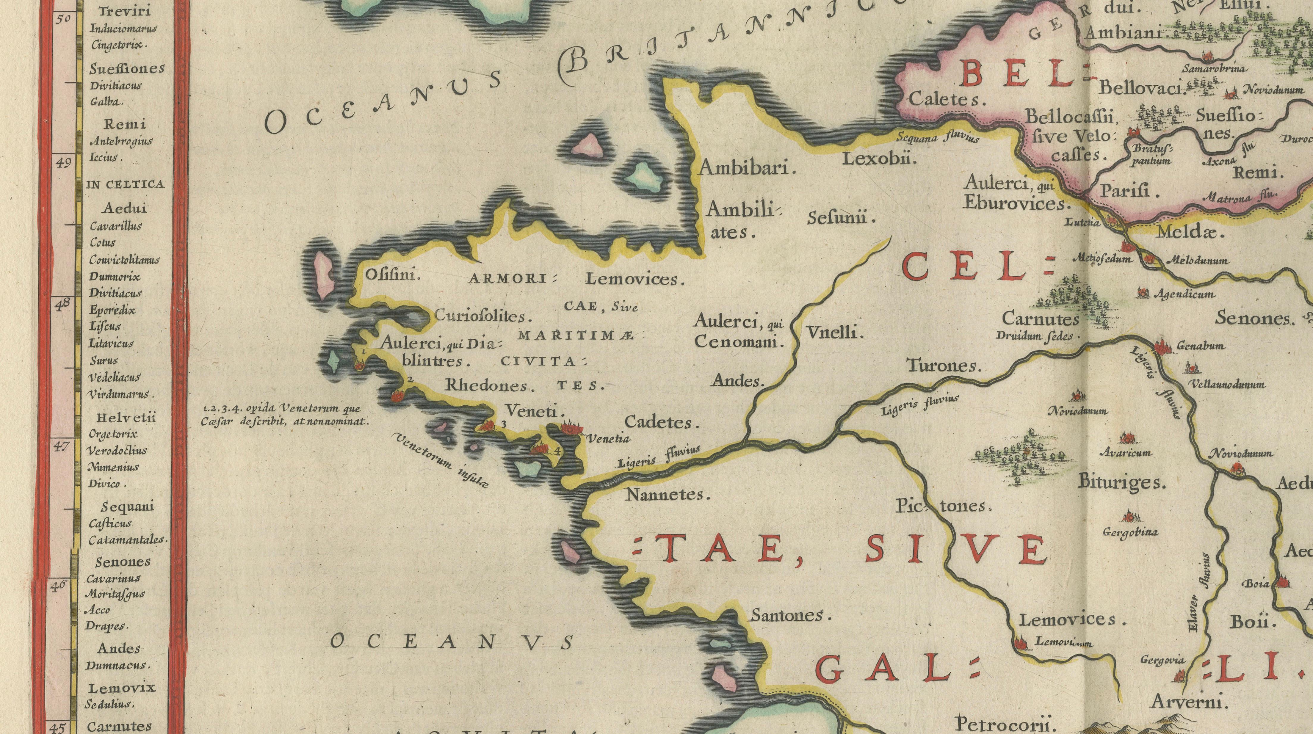
The map depicts the territories of Gallia Celtica, Belgica, and Aquitania, carefully delineated and enriched with classical place names, tribal regions, and Roman provincial boundaries. Extending from the British Isles in the northwest to northern Italy and the Mediterranean in the southeast, the composition situates Gaul within its broader Roman and geographic context. The Rhine forms a natural eastern boundary, separating Gaul from Germania, while the Pyrenees mark the division with Hispania.
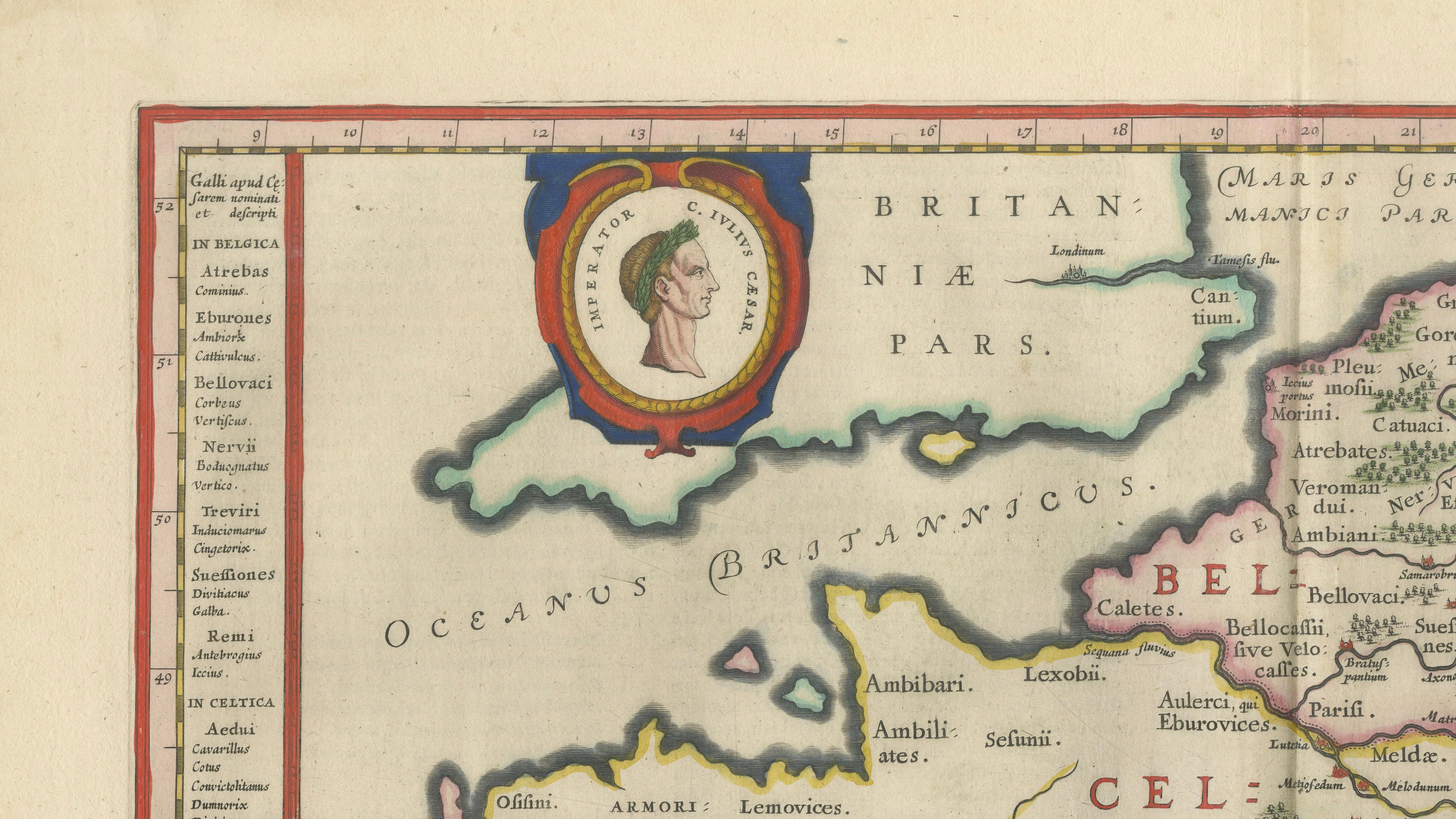
Blaeu’s engraving is both scholarly and visually compelling. The map is adorned with a finely executed portrait medallion—likely representing Caesar—set within an elaborate cartouche, reinforcing the classical theme. Additional ornamental elements include a richly decorated title cartouche and subtle hand-coloring that highlights borders and enhances readability without overwhelming the composition.
Issued in the *Toonneel des Aerdrycx*, one of the most celebrated atlases of the Dutch Golden Age, this map reflects the height of Amsterdam’s cartographic excellence. Blaeu’s work combined precision, artistry, and intellectual authority, making his maps highly sought after by collectors, scholars, and connoisseurs alike.
Today, this map appeals strongly to collectors of classical antiquity, Roman history, and early modern cartography. Its connection to Caesar, combined with its elegant execution and historical significance, makes it a standout display piece—equally suited to a refined study, library, or interior with a classical theme.
Condition:
Very good condition for its age. Original hand coloring remains vibrant. Central fold as issued. Some light age toning and minor handling wear to the margins. Paper structurally sound.
Framing tips:
Pairs exceptionally well with a dark walnut or ebonized frame and a wide ivory or cream mat to emphasize the warm tones of the paper. For a more contemporary setting, a thin black frame with a crisp off-white mat creates a refined museum-style presentation.
Keywords:
Caesar, Julius Caesar, Gallia, Gaul, Gallia Vetus, Ancient France, Roman Empire, Roman provinces, Celtica, Belgica, Aquitania, Germania, Rhine, Classical map, Blaeu map, Willem Blaeu, Joan Blaeu, Dutch Golden Age, 17th century map, antique map, copper engraving, hand colored map, Toonneel des Aerdrycx, historical cartography, classical antiquity, Roman history map, decorative map, Amsterdam cartography, atlas map, early modern map, Europe map, France map, collectible map
Special note: This is an original 17th-century map, not a reproduction. All items we offer are authentic period works of art over 100 years old. The map is sold unframed; any framed images are shown for presentation and interior inspiration only and may not always be on scale with the original.
Technique: Copperplate engraving with original hand-coloring
Maker: Willem & Joan Blaeu, Amsterdam, c.1642