About this sheet
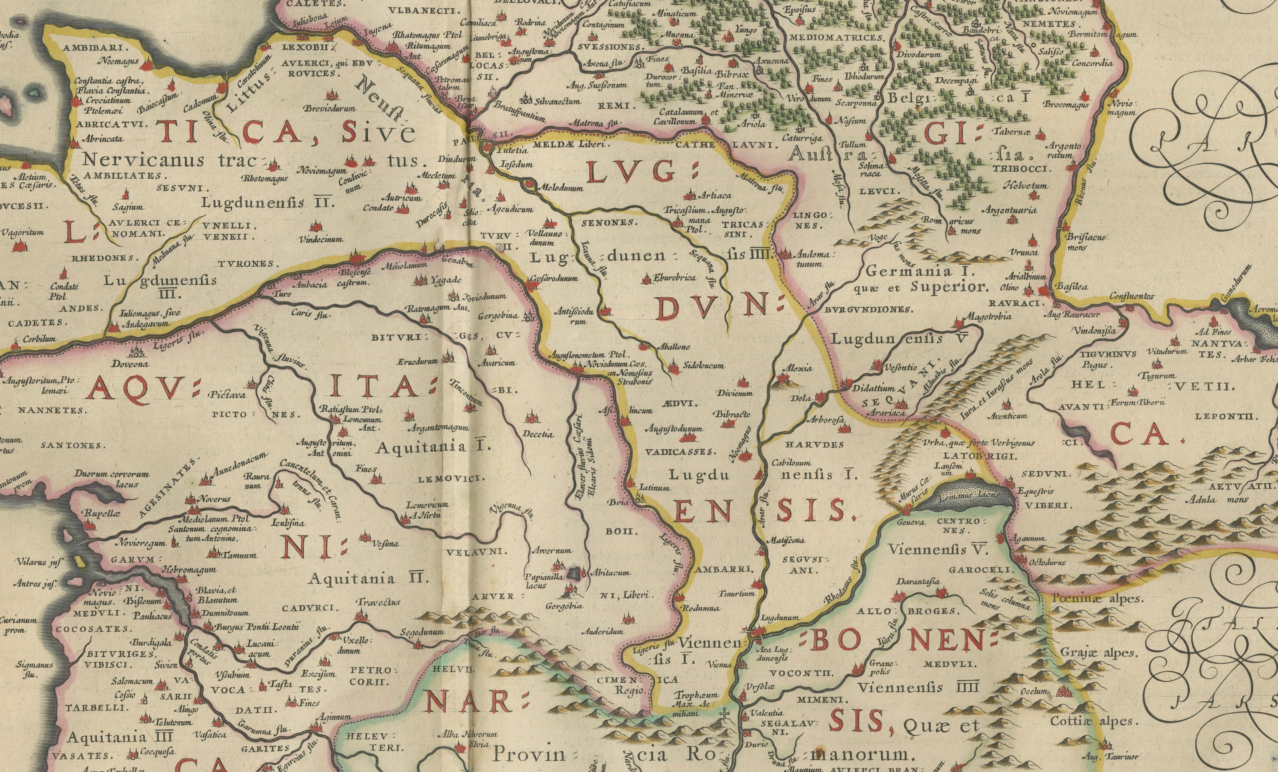
Caesar’s Gallia Veteris – Blaeu Map of Ancient Gaul, France c.1642
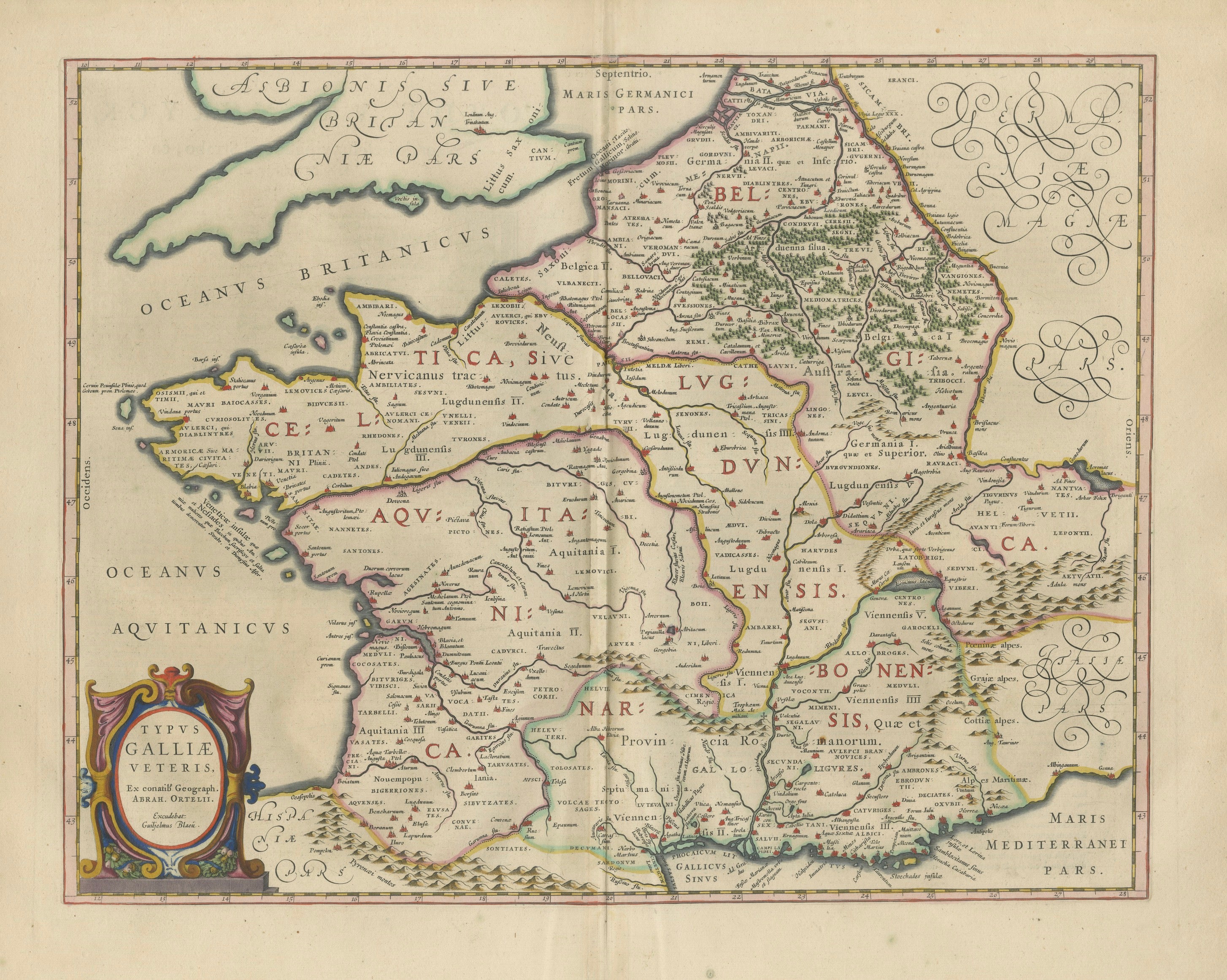
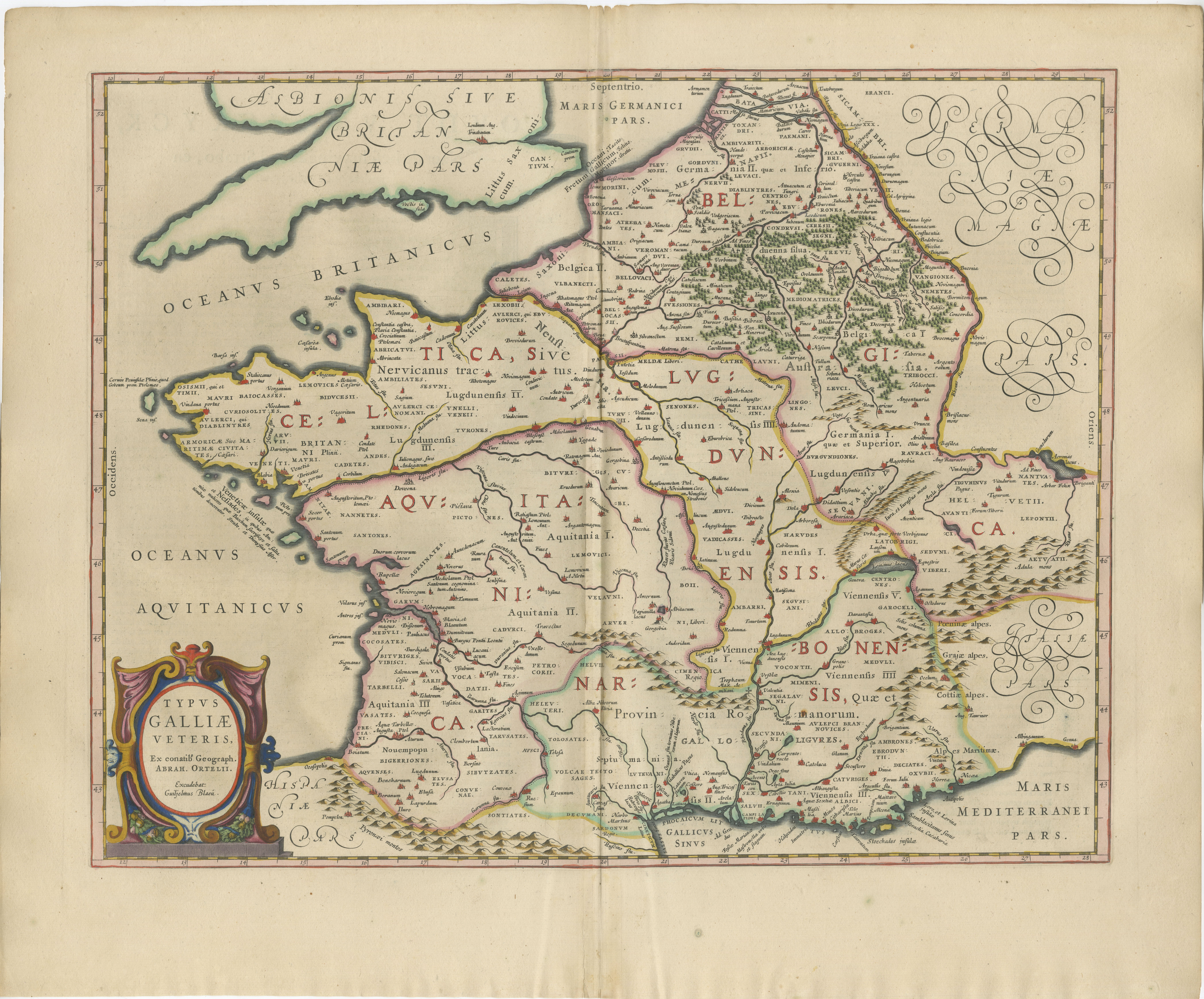
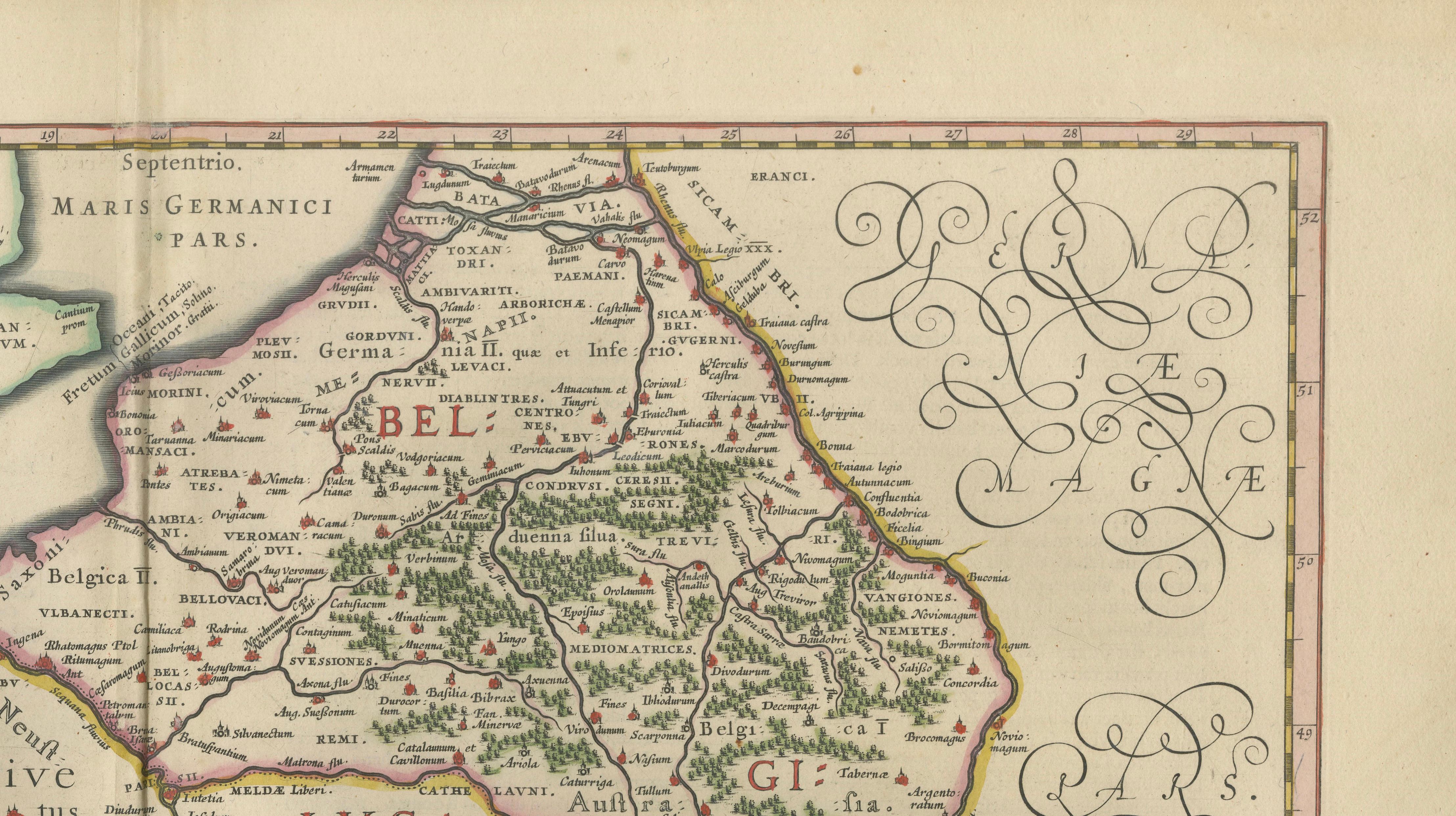
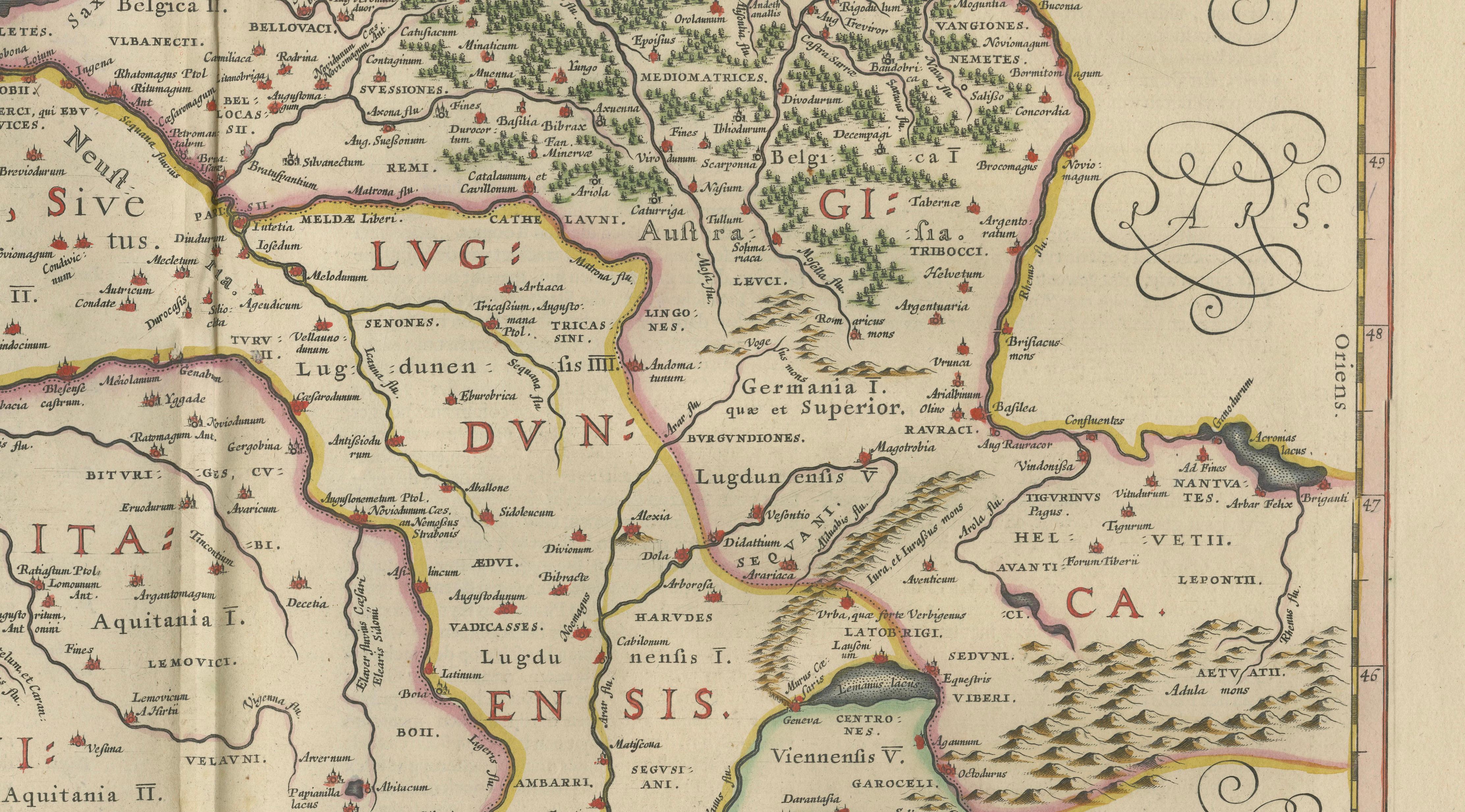
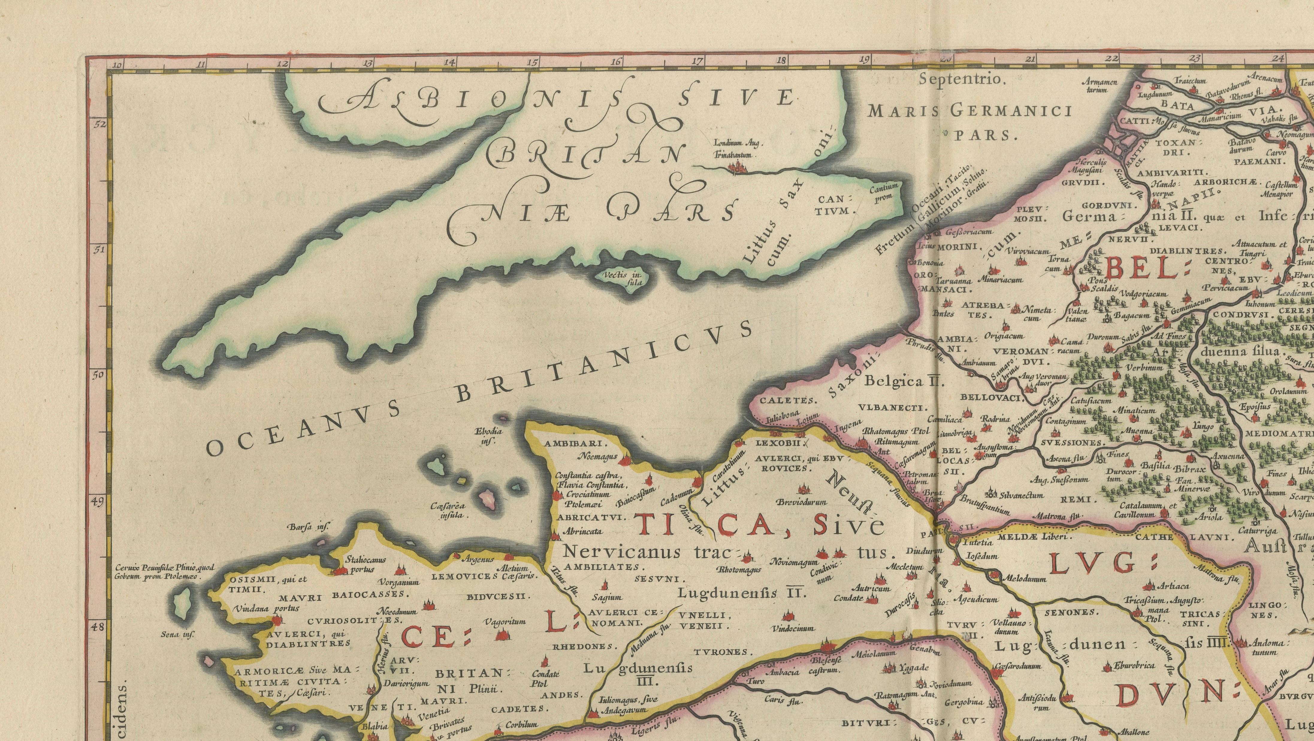
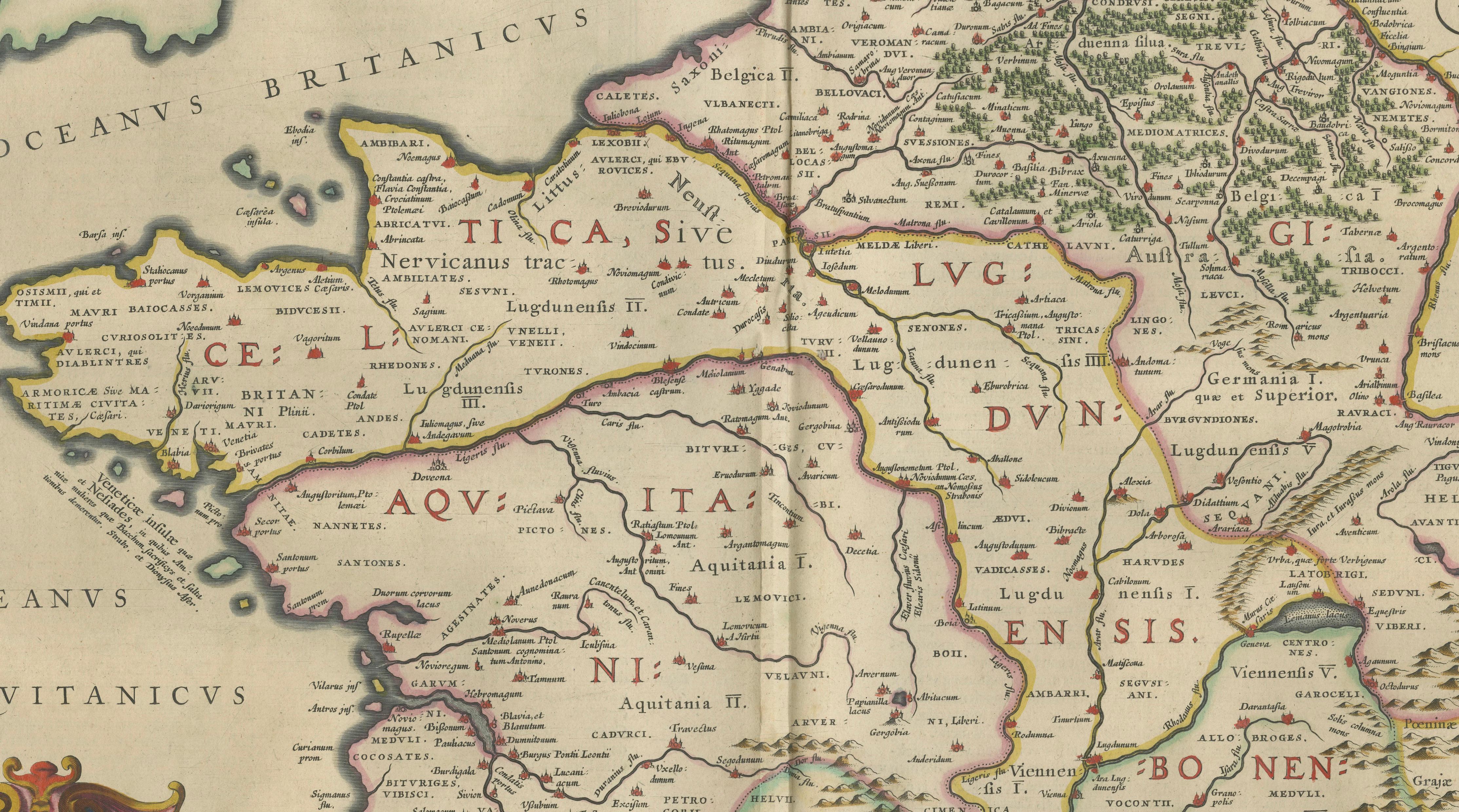
A finely engraved and highly decorative 17th-century map of ancient Gaul, titled Typus Galliae Veteris, published by Willem and Joan Blaeu in Amsterdam around 1642. This remarkable map is based on the historical geography described in Julius Caesar’s Commentarii de Bello Gallico, presenting Gaul as it was understood in the Roman era.
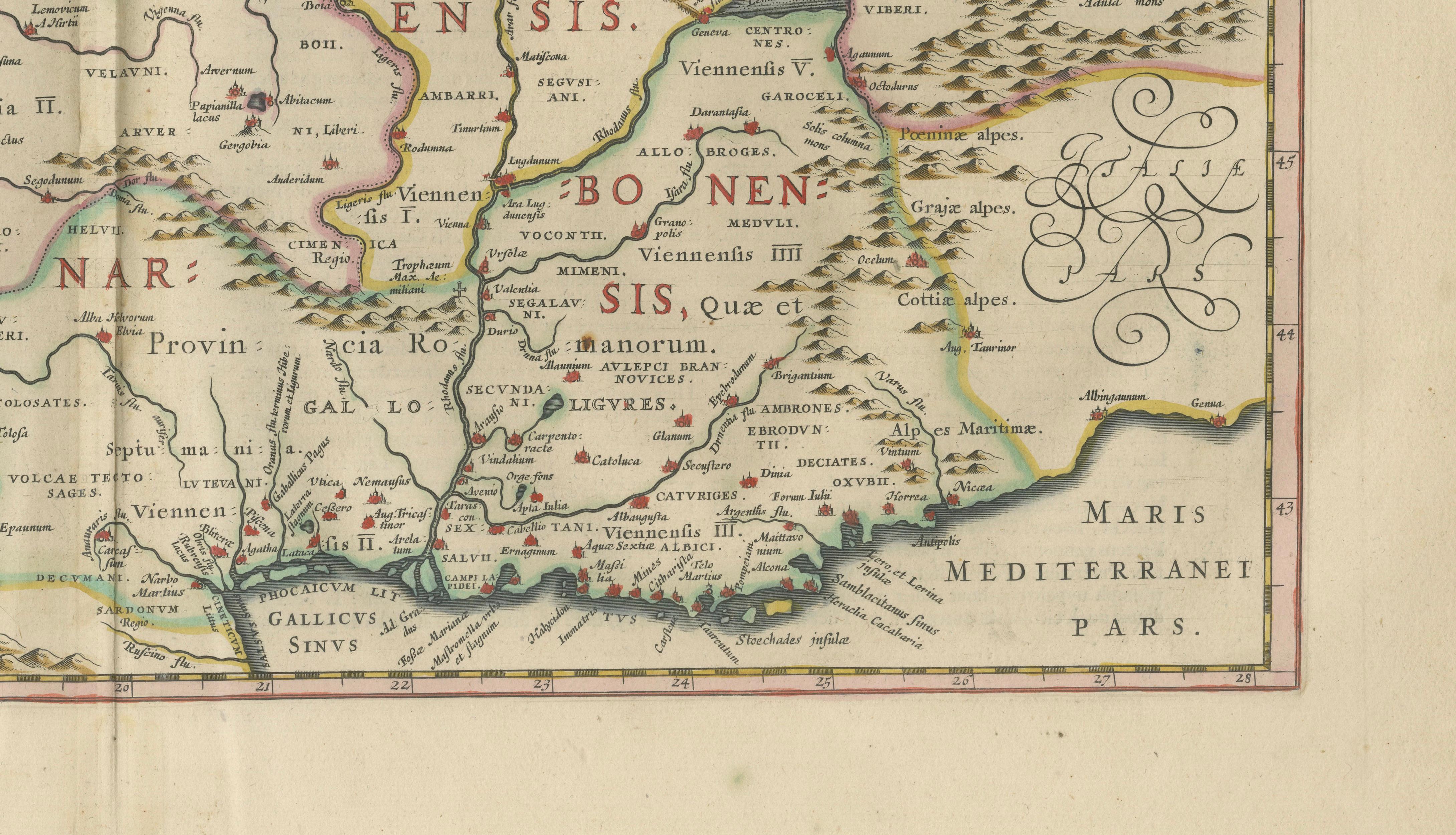
The composition illustrates the principal Roman divisions of Gaul, including Celtica, Belgica, Aquitania, Lugdunensis, and Narbonensis, all carefully delineated and labeled in Latin. The map extends from the British Isles and the North Sea in the northwest to the Mediterranean coast and the Alps in the southeast, with the Rhine forming the natural boundary with Germania. Rivers, mountain ranges, and tribal regions are depicted with clarity, offering both historical insight and visual richness.
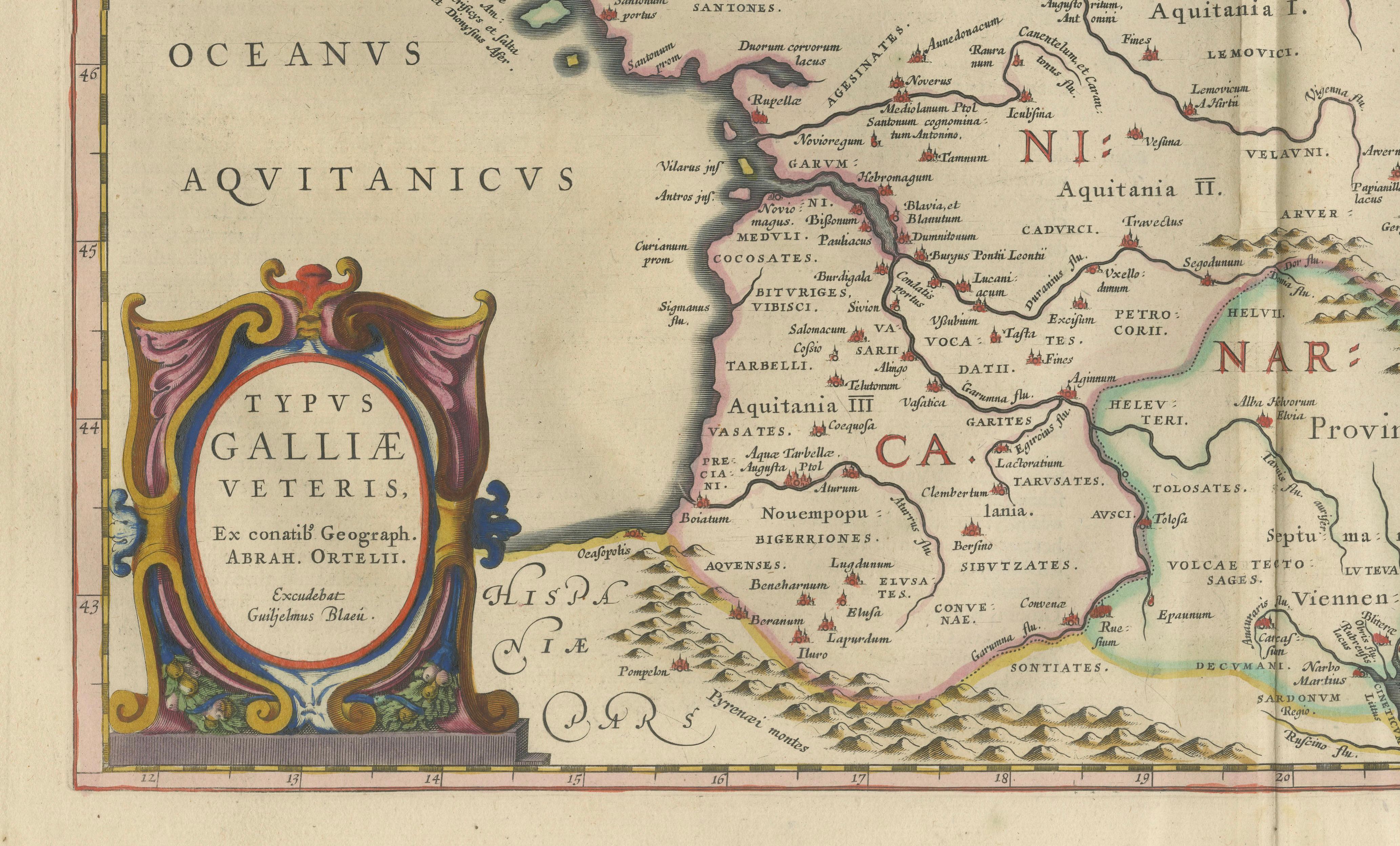
Blaeu’s craftsmanship is evident in the precise engraving and elegant layout. The map features a beautifully hand-colored cartouche in the lower left corner, along with decorative calligraphic elements that enhance its aesthetic appeal. The subtle original hand coloring highlights regional borders while maintaining a refined and balanced appearance.
Issued in Blaeu’s renowned atlas *Toonneel des Aerdrycx, this map represents the height of Dutch Golden Age cartography. Blaeu maps are celebrated for their combination of scientific accuracy and artistic excellence, making them highly desirable among collectors and decorators alike.
This example is particularly appealing for its strong connection to classical antiquity and Julius Caesar, making it an ideal piece for collectors of Roman history, early maps, or decorative works with intellectual depth.
Condition:
Very good condition for its age. Original hand coloring. Central fold as issued. Light age toning and minor handling wear to the margins. Paper remains strong and stable.
Framing tips:
This map displays beautifully in a dark walnut or ebonized frame with a wide cream or ivory mat, enhancing the warmth of the paper and colors. For a brighter, more contemporary interior, a thin black frame with a crisp off-white mat creates a clean museum-style presentation.
Keywords:
Caesar, Julius Caesar, Gallia, Gallia Veteris, Gaul, Ancient France, Roman Empire, Roman provinces, Celtica, Belgica, Aquitania, Lugdunensis, Narbonensis, Germania, Rhine, Alps, Classical map, Antique map, 17th century map, Blaeu map, Willem Blaeu, Joan Blaeu, Dutch Golden Age, Toonneel des Aerdrycx, copperplate engraving, hand colored map, historical map, Europe map, France map, decorative map, collectible map
Special note: This is an original 17th-century map, not a reproduction. All items we offer are authentic period works of art over 100 years old. The map is sold unframed; any framed images are shown for presentation and interior inspiration only and may not always be on scale with the original.
Technique: Copperplate engraving with original hand-coloring
Maker: Willem & Joan Blaeu, Amsterdam, c.1642